Waterwatch Data Portal
Site details
Overview
| Site code | ME_DHE100 |
|---|---|
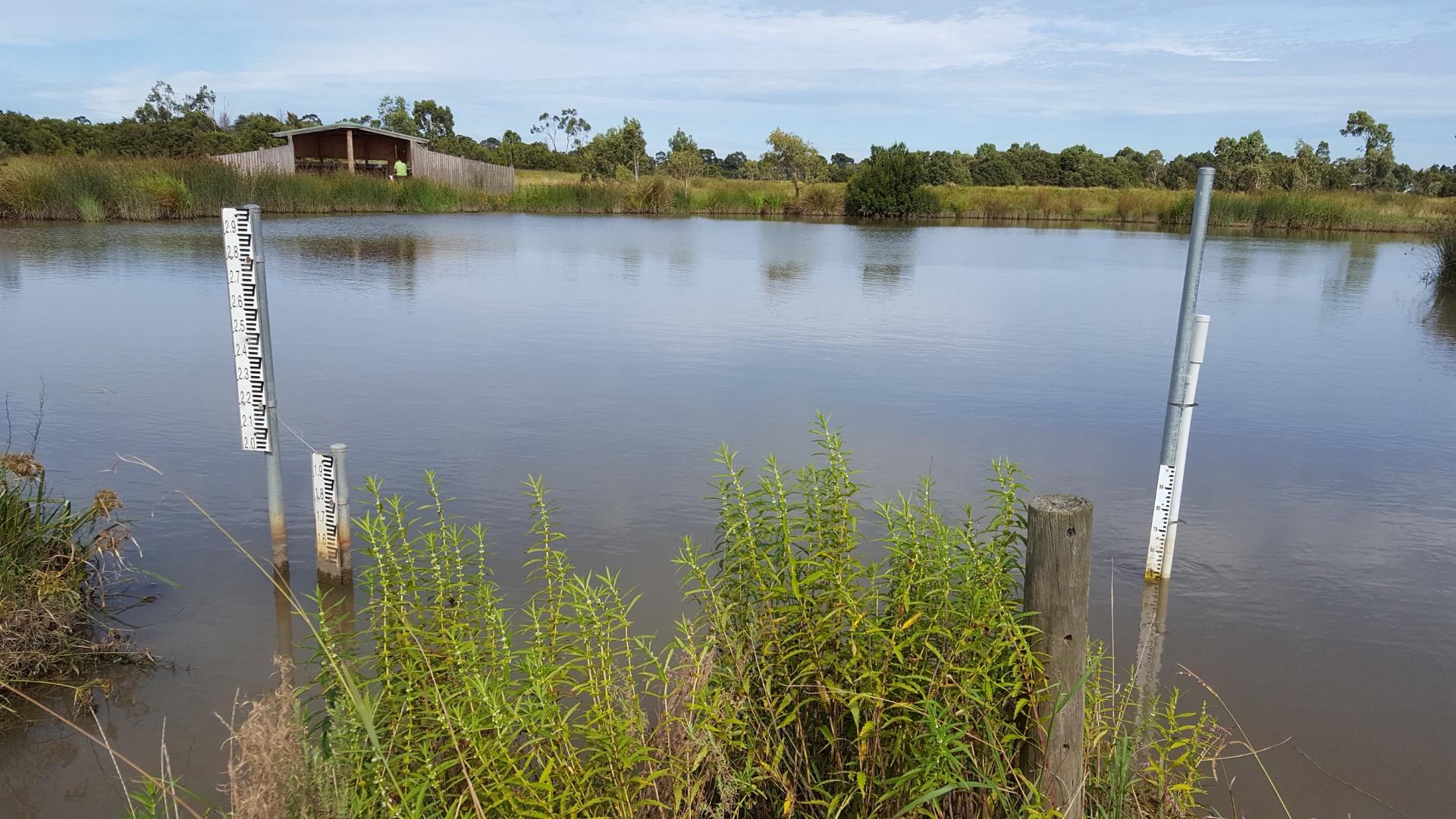
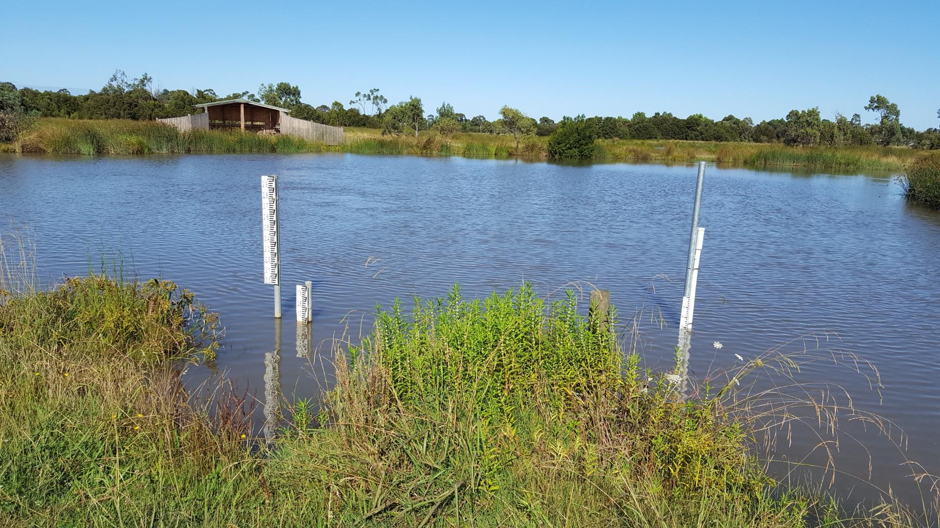
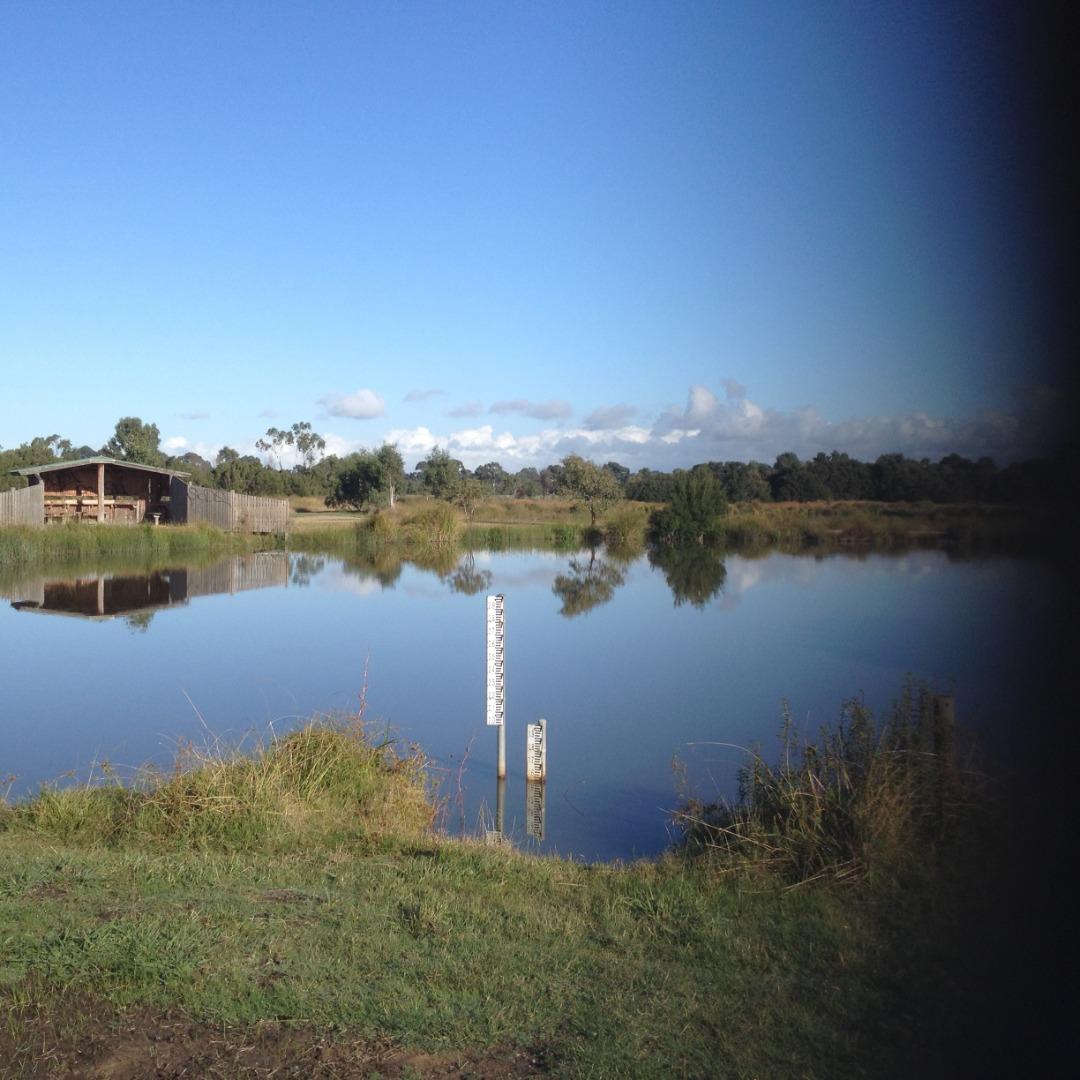
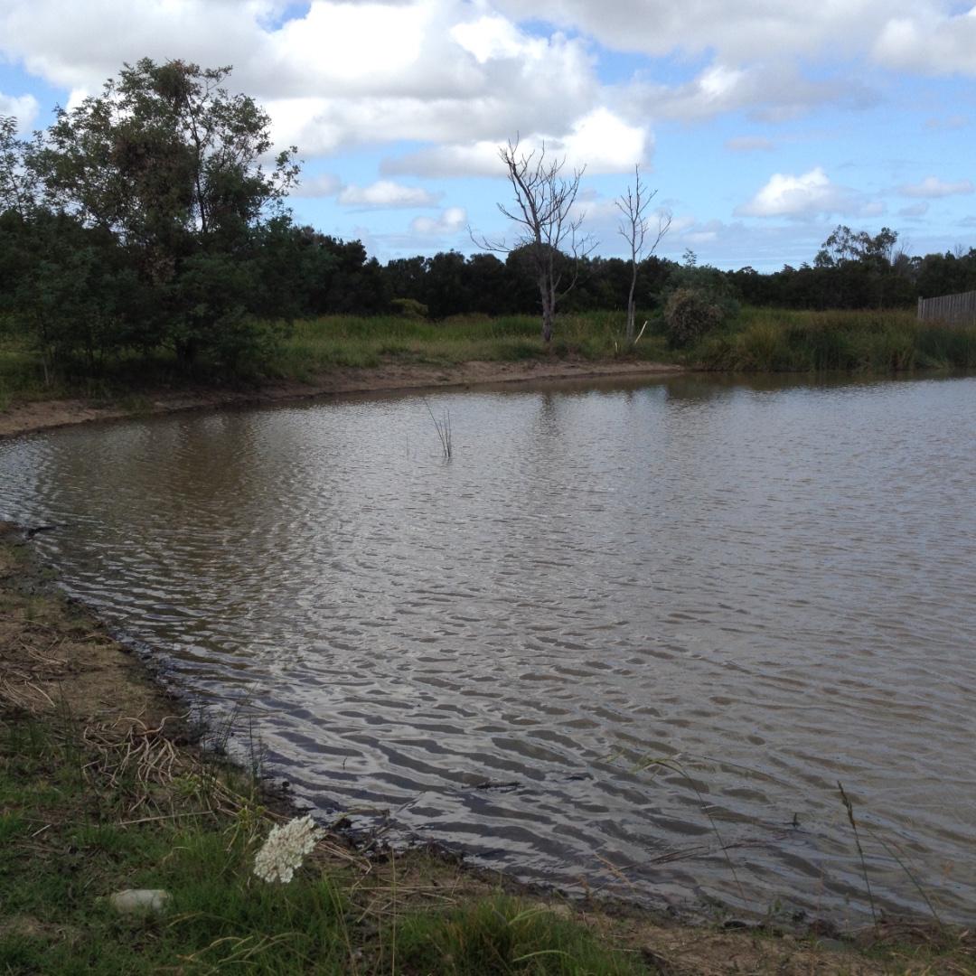
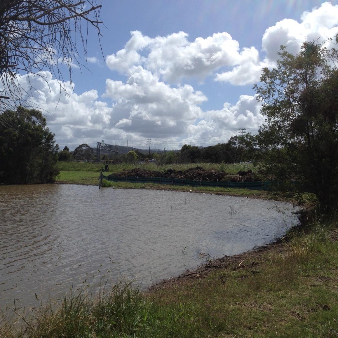
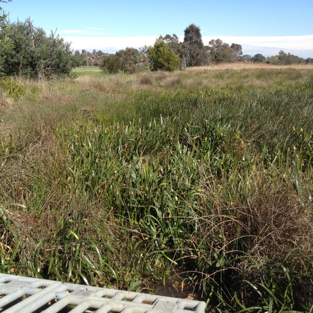
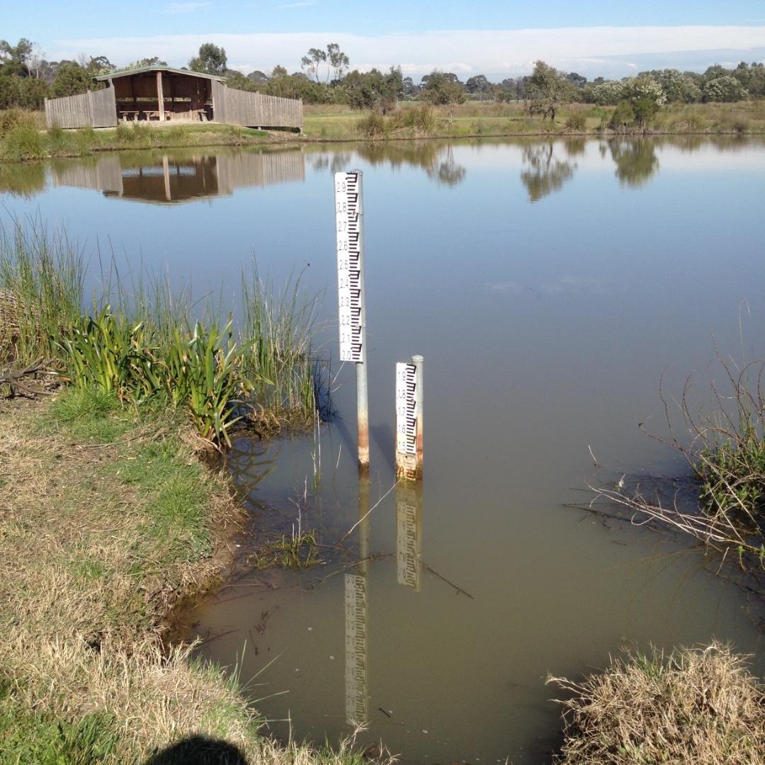
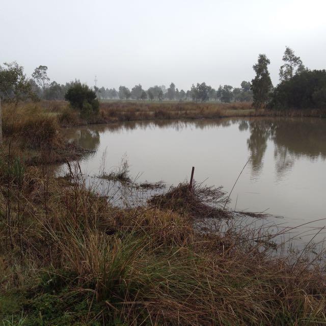
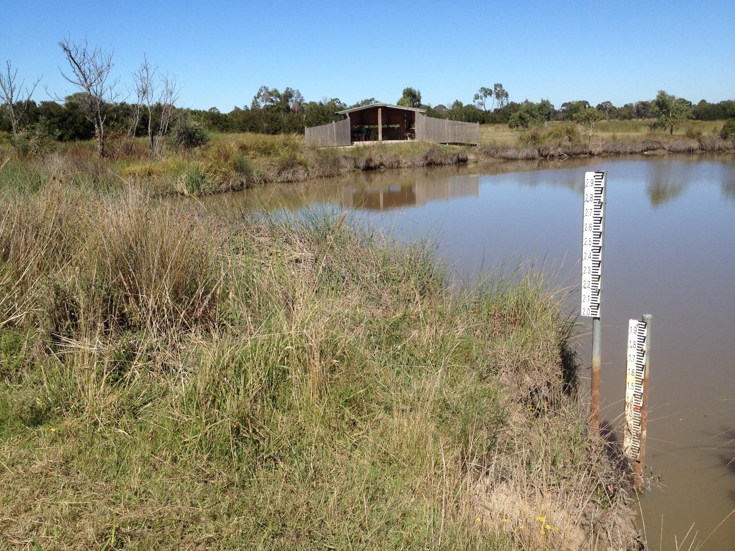
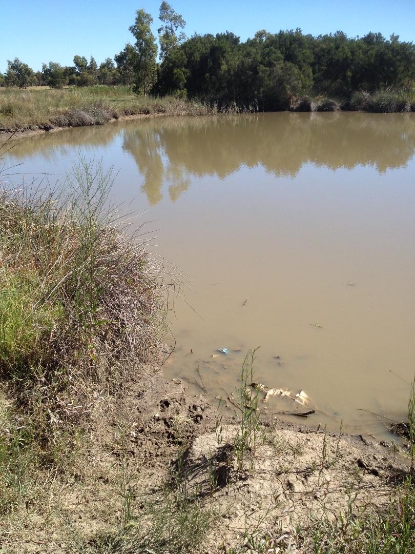
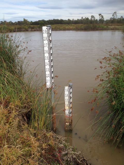
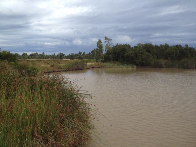
| Site name | Heatherton Rd Wetland |
| Status | Active |
| Water Authority | Melbourne |
| Basin | Bunyip River |
| Catchment | Dandenong |
| Sub catchment | Dandenong Creek |
| Reach | |
| Water type | Pond/Wetland |
| Council | Greater Dandenong City Council |
| History | View all 162 site visits 11-07-2004 - 04-02-2024 |
| Monitoring organisations |
Site visits
 Loading chart
| Date | Ammon-Nit mg/L NH3-N | N mg/L NH4+ | D.O. % | D.O mg/L | EC µS/cm | FrP mg/L P | Nitrate-Nit mg/L N | pH pH Units | rP mg/L P | Air ° C | Water ° C | Turb FTU | Turb NTU |
|---|---|---|---|---|---|---|---|---|---|---|---|---|---|
| 01-05-2022 | 51.41 | 5.8 | 181 | 7.5 | 0.003 | 17 | 10 | 37 | |||||
| 05-06-2022 | 0 | 72.64 | 8.1 | 130 | 7.5 | 0 | 10.8 | 10.5 | 15 | ||||
| 03-07-2022 | 0 | 68.95 | 8 | 340 | 6.7 | 0.01 | 13.2 | 8.8 | 8 | ||||
| 07-08-2022 | 0 | 57.86 | 6.3 | 340 | 6.4 | 0.01 | 15.2 | 11.5 | 15 | ||||
| 11-09-2022 | 0.02 | 57.98 | 6.2 | 290 | 6.7 | 14.4 | 12.3 | 36 | |||||
| 06-11-2022 | 0 | 39.14 | 3.5 | 270 | 6.5 | 24.3 | 20.8 | 58 | |||||
| 03-09-2023 | 26.94 | 2.9 | 370 | 6 | 0.027 | 13 | 12 | 26 | |||||
| 01-10-2023 | 0 | 20.5 | 2 | 380 | 6.5 | 0 | 18.2 | 16.5 | 79 | ||||
| 05-11-2023 | 0 | 36.67 | 3.6 | 360 | 6.8 | 0 | 21.5 | 16.2 | 124 | ||||
| 03-12-2023 | 0 | 64.35 | 6 | 300 | 6.3 | 0 | 19.6 | 18.7 | 24 | ||||
| 07-01-2024 | 0 | 34.09 | 2.9 | 300 | 6.6 | 0 | 24.7 | 23.4 | 31 | ||||
| 04-02-2024 | 0 | 34.41 | 3 | 300 | 6.3 | 0 | 27.4 | 22.1 | 79 |


All content, files, data and images provided by the Waterwatch Data Portal and Gallery are subject to a Creative Commons Attribution License
Content is made available to be used in any way, and should always attribute Waterwatch and www.vic.waterwatch.org.au
.png)