Waterwatch Data Portal
ME_YDA558 Darebin Creek at Darebin Parklands, ford (dog crossing) U/S railway bridge.
16 March 2017
Overview
| Catchment | Yarra River |
|---|---|
| Site | Darebin Creek at Darebin Parklands, ford (dog crossing) U/S railway bridge. ME_YDA558 |
| Date and Time | Thursday 16th March 2017 10:15am |
| Approved | Approved |
Physical Chemical Tests
| Ammon-Nit mg/L NH3-N | N mg/L NH4+ | D.O. % | D.O mg/L | EC µS/cm | FrP mg/L P | Nitrate-Nit mg/L N | Nitrate mg/L | pH pH Units | rP mg/L P | Air ° C | Water ° C | Turb NTU | |
|---|---|---|---|---|---|---|---|---|---|---|---|---|---|
| Sample | 0.5 | 6 | 860 | 8.3 | 0.2 | 23.5 | 23.1 | 40 |
| Weather | overcast |
|---|---|
| Last rainfall | During the last 24 hours 2.80 |
| Flow estimate | HIGH: Less than bankfull and in-stream habitats connected |
| Water Appearance | Stained brown,Muddy |
| Stream depth | 0 - 50cm |
| Stream width | > 5m |
| Hazards | |
| Litter/Pollutants |
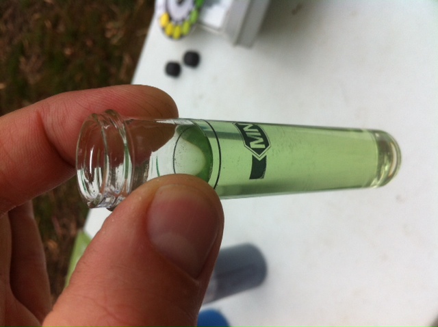
Very high phosphate and ammonium levels.
We put this down to a rainfall event (2.8mm locally) immediately prior to testing.
The river flow went from a constant 2.273 ML to 47.6 ML within two hours.
The rainfall fell in a north / south band across Victoria, so the whole catchment would have copped it at one time, releasing a large amount of stormwater runoff with associated nutrients.Creek was falling slowly by the time we tested and was a brown colour that we put down to being stirred up by the sudden increase in stormwater.

All content, files, data and images provided by the Waterwatch Data Portal and Gallery are subject to a Creative Commons Attribution License
Content is made available to be used in any way, and should always attribute Waterwatch and www.vic.waterwatch.org.au
.png)