Waterwatch Data Portal
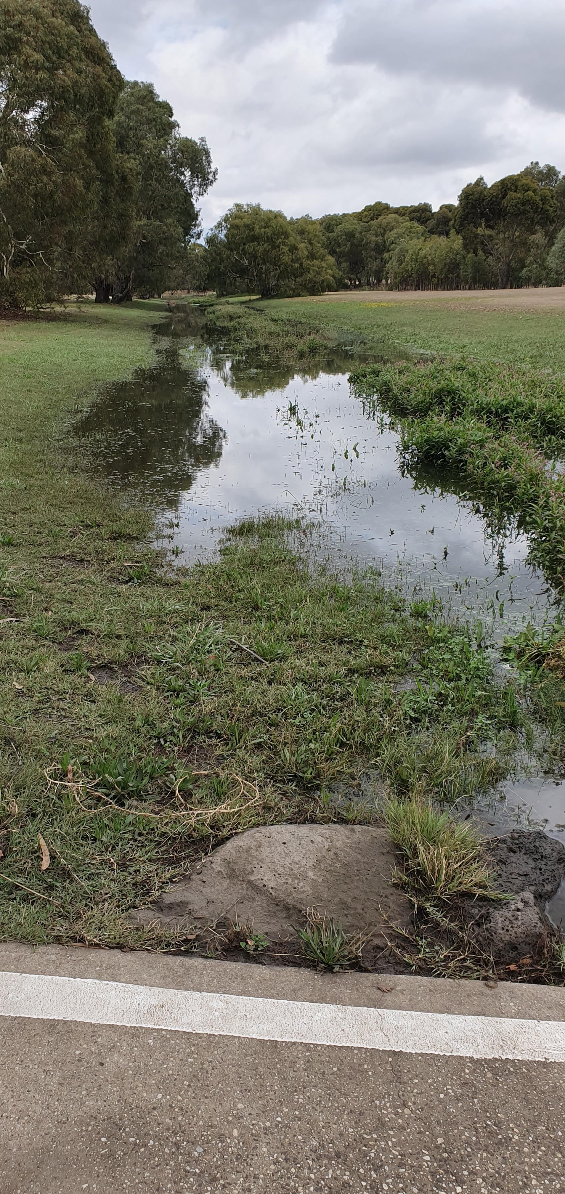
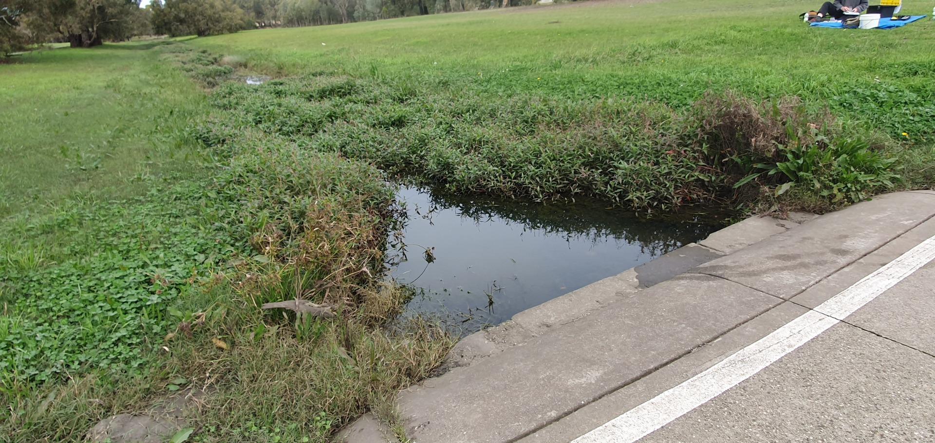
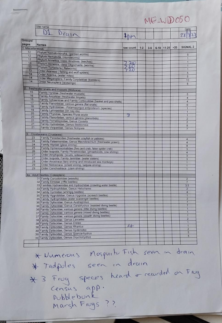
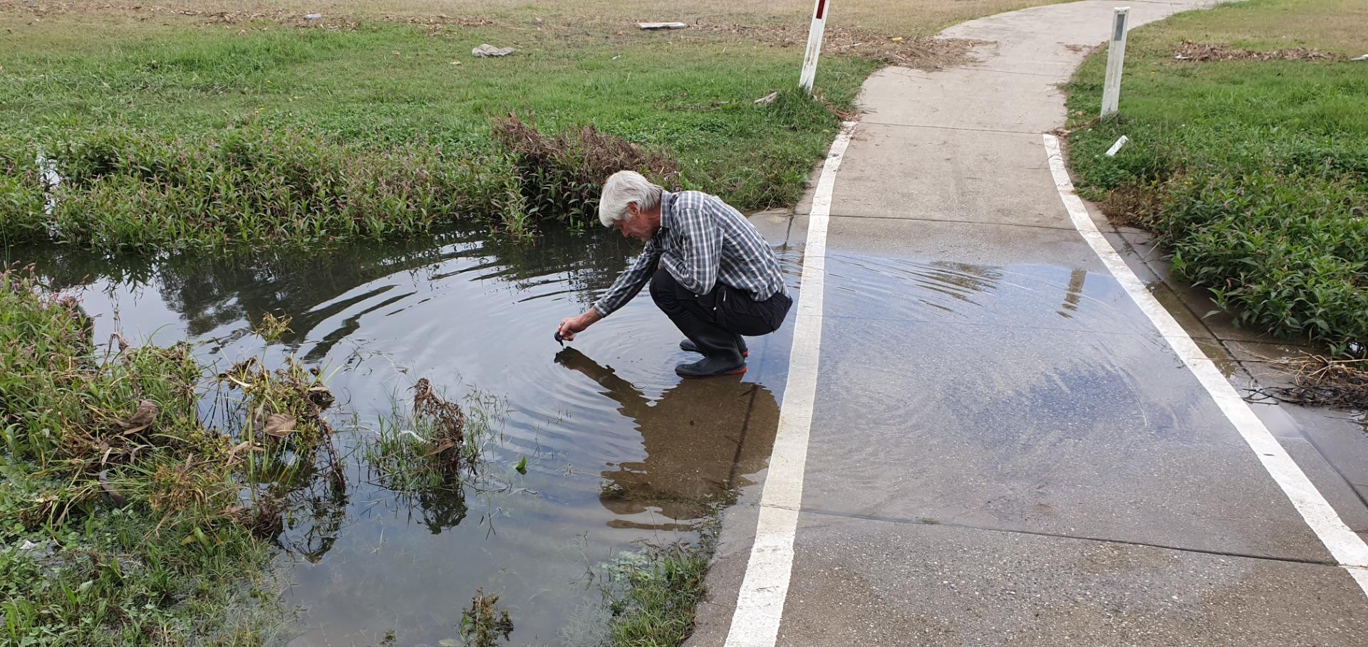
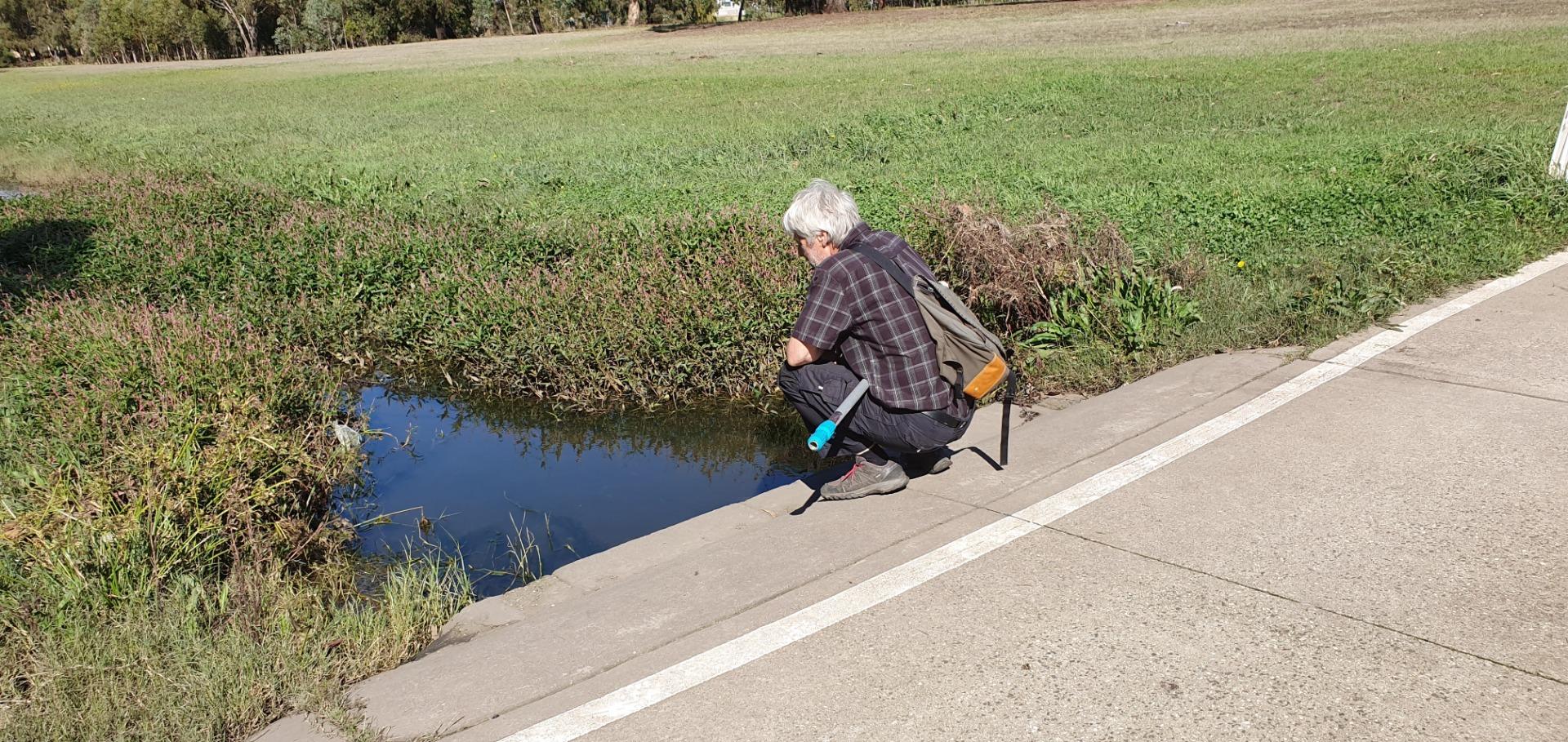
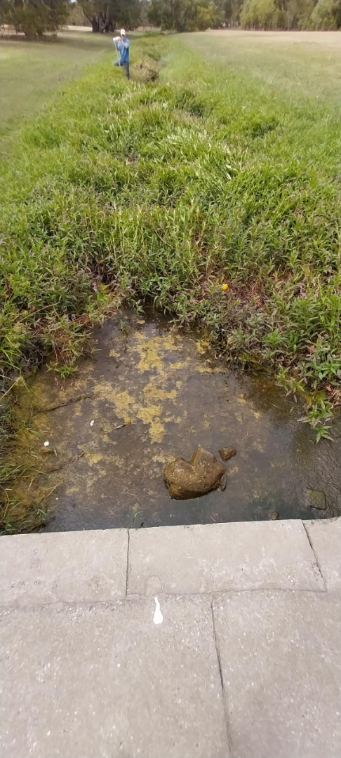
ME_WDD050 D1 Drain, 150 metres from Chat Place, Hoppers Crossing/Werribee.
Site details
Overview
| Site code | ME_WDD050 |
|---|---|
| Site name | D1 Drain, 150 metres from Chat Place, Hoppers Crossing/Werribee. |
| Status | Active |
| Water Authority | Melbourne |
| Basin | Werribee River |
| Catchment | Werribee River |
| Sub catchment | Werribee River Lower |
| Reach | |
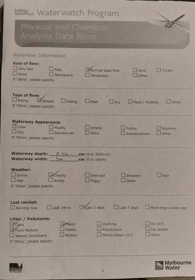
| Water type | Drain |
| Council | Wyndham City Council |
| History | View all 4 site visits 16-02-2023 - 18-05-2023 |
| Monitoring organisations |
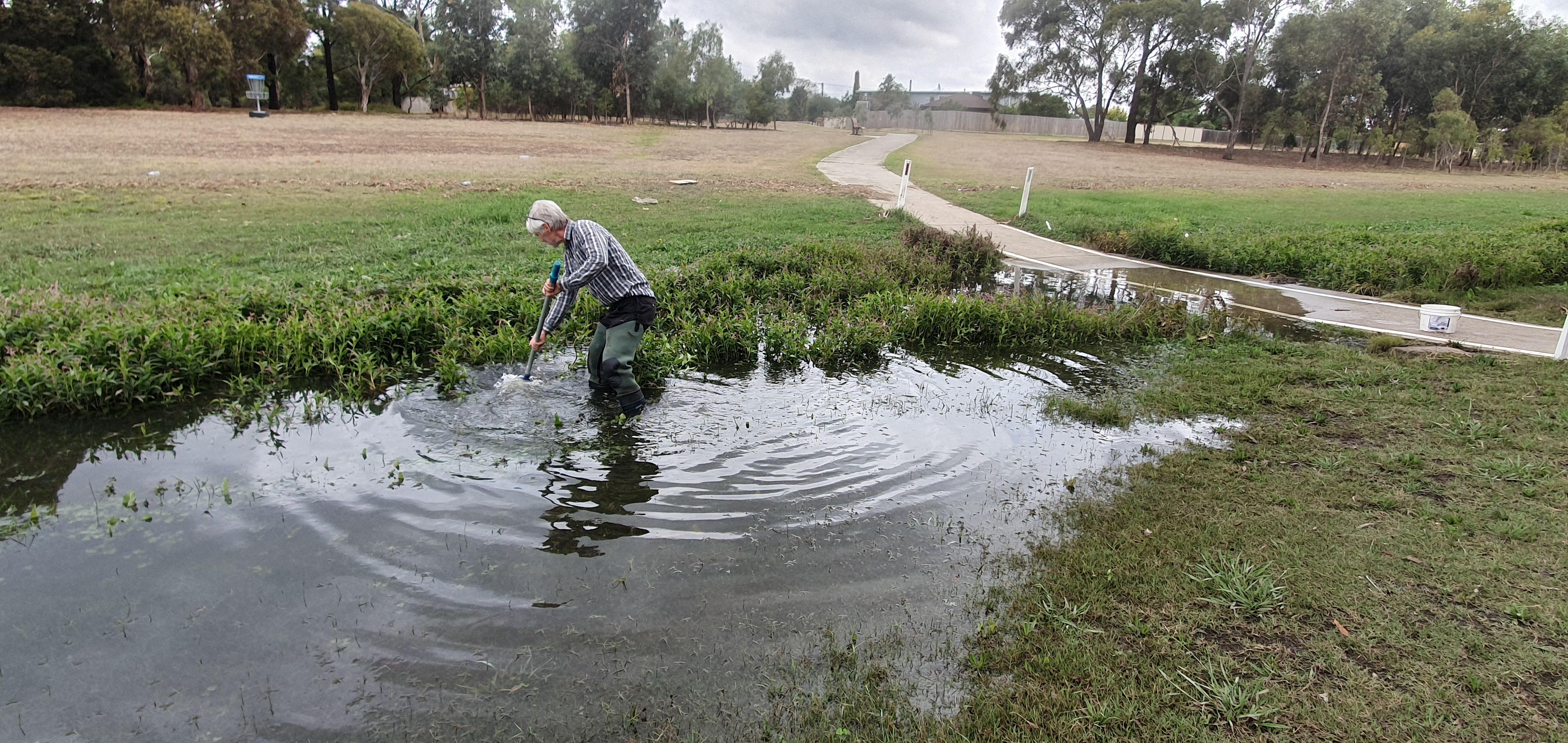
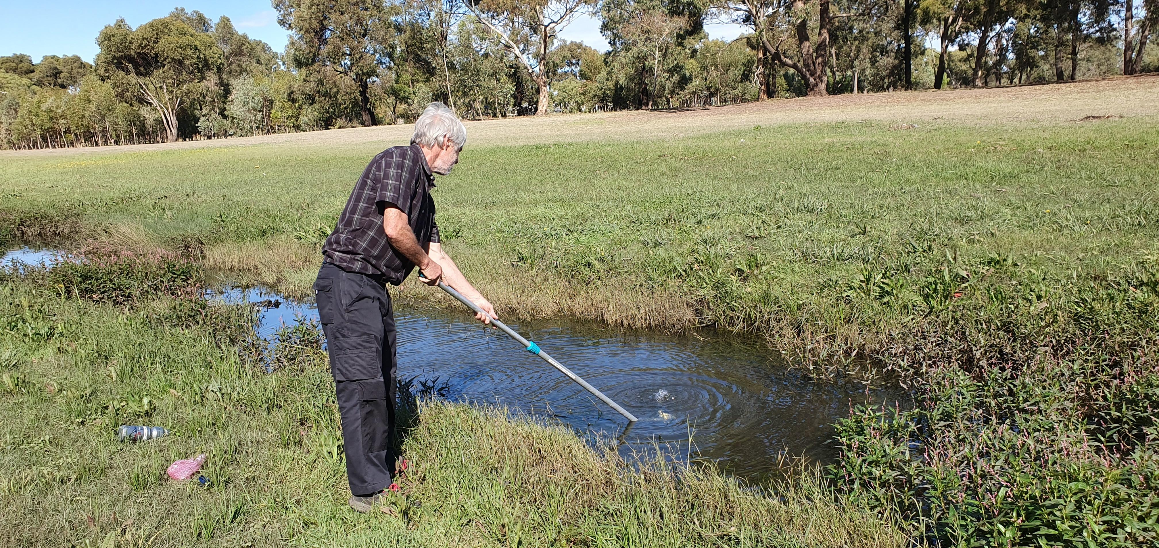
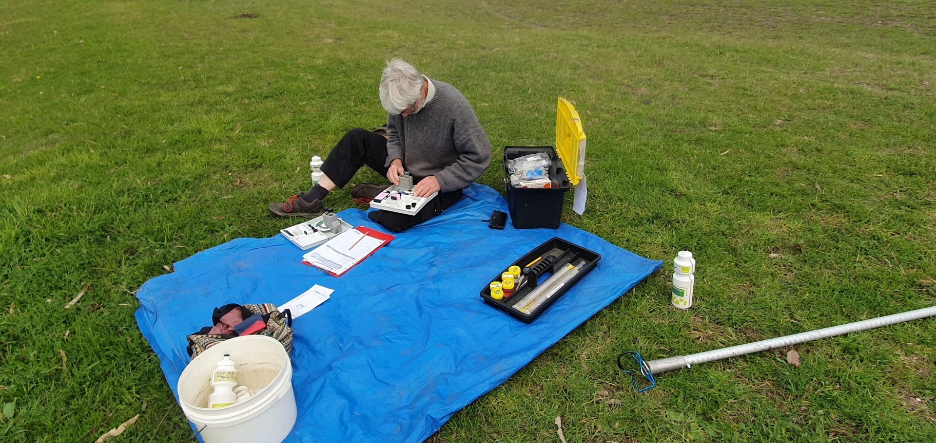
Site visits
 Loading chart
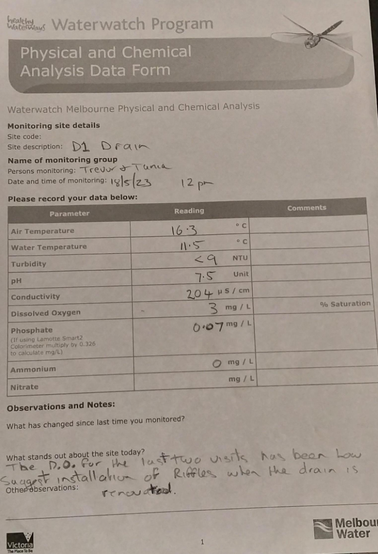
| Date | N mg/L NH4+ | D.O. % | D.O mg/L | EC µS/cm | pH pH Units | rP mg/L P | Air ° C | Water ° C | Turb NTU |
|---|---|---|---|---|---|---|---|---|---|
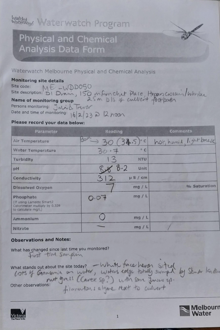
| 16-02-2023 | 0 | 93.81 | 7 | 312 | 8.2 | 0.07 | 30 | 30.7 | 13 |
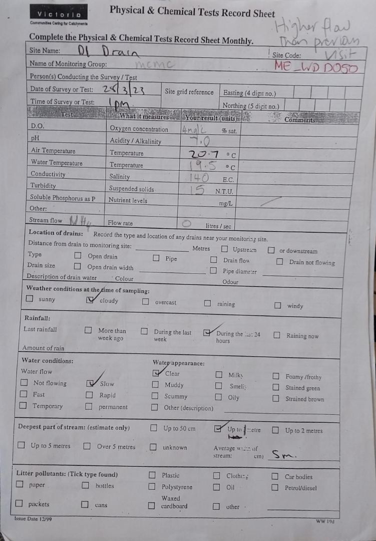
| 28-03-2023 | 0 | 43.57 | 4 | 140 | 7 | 20.7 | 19.5 | 15 | |
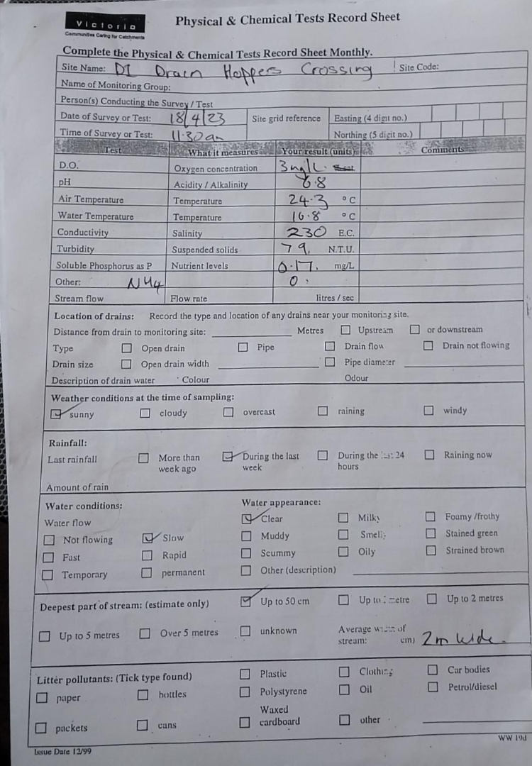
| 18-04-2023 | 0 | 30.93 | 3 | 230 | 6.8 | 0.17 | 24.3 | 16.8 | 9 |
| 18-05-2023 | 0 | 27.54 | 3 | 204 | 7.5 | 0.07 | 16.3 | 11.5 | 9 |


All content, files, data and images provided by the Waterwatch Data Portal and Gallery are subject to a Creative Commons Attribution License
Content is made available to be used in any way, and should always attribute Waterwatch and www.vic.waterwatch.org.au
.png)