Waterwatch Data Portal
Site details
Overview
| Site code | NC_CAM515 |
|---|---|
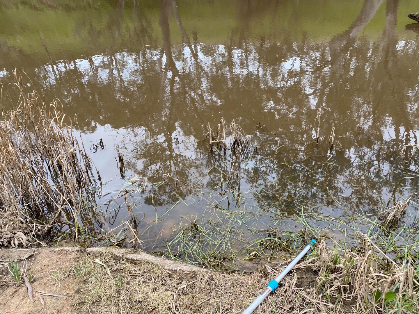
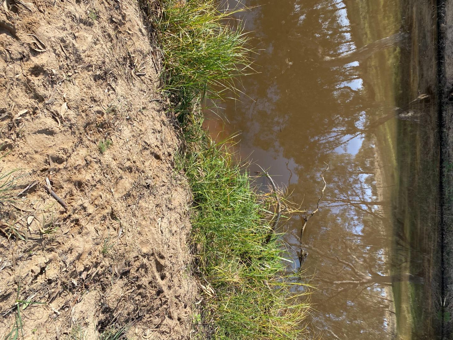
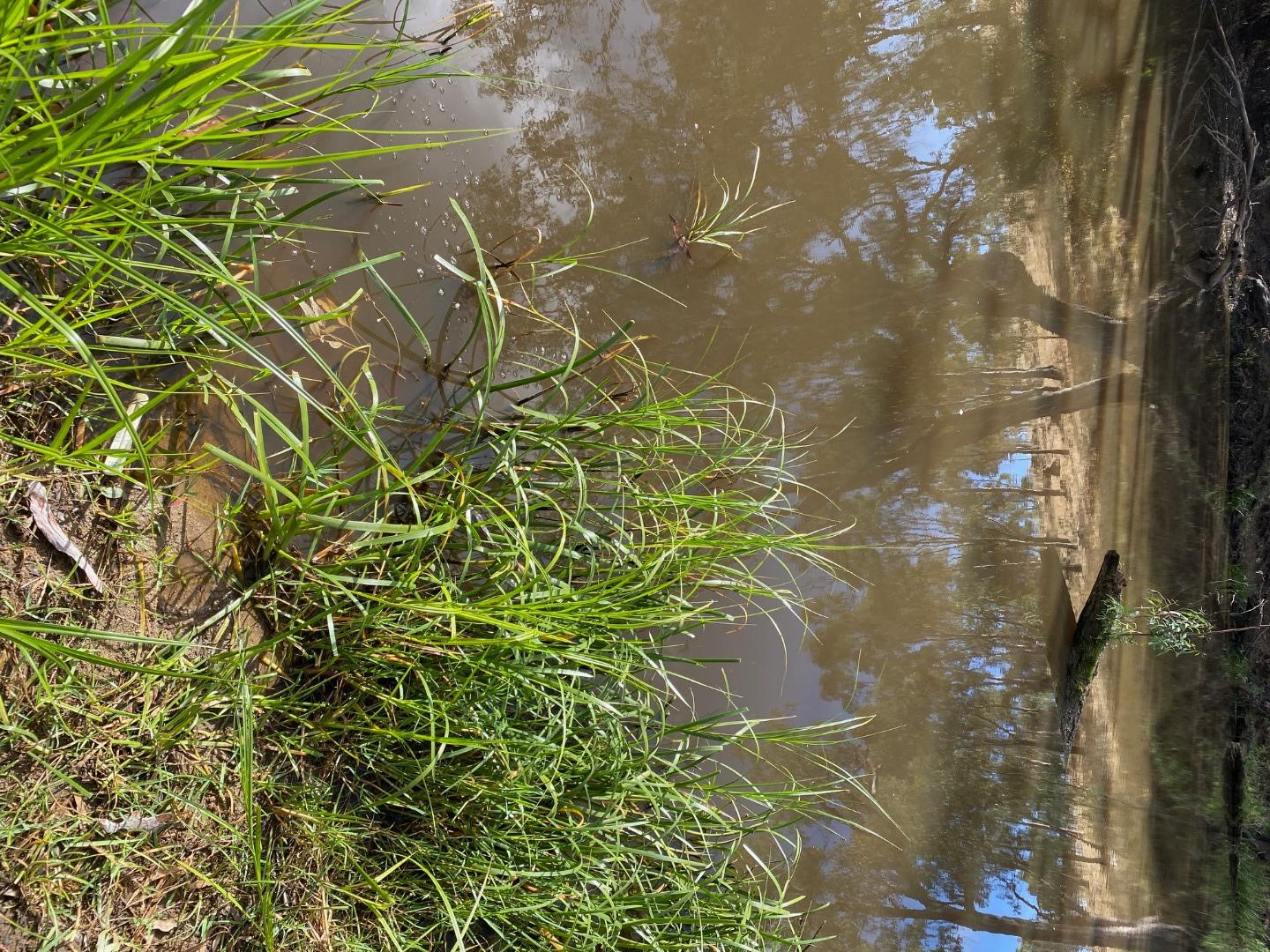
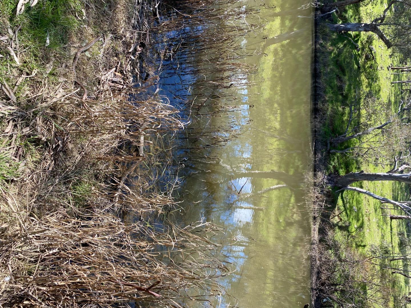
| Site name | Campaspe River, end of Backhaus Road |
| Status | Active |
| Water Authority | North Central |
| Basin | Campaspe River |
| Catchment | Campaspe River |
| Sub catchment | Campaspe River |
| Reach | 6_5 Campaspe River |
| Water type | River |
| Council | |
| History | View all 34 site visits 26-03-2021 - 28-03-2024 |
| Monitoring organisations |
|
Site visits
 Loading chart
| Date | EC µS/cm | pH pH Units | rP mg/L P | Air ° C | Water ° C | Turb NTU |
|---|---|---|---|---|---|---|
| 19-05-2022 | 598 | 7 | 0.02 | 15 | 15 | 10 |
| 06-06-2022 | 521 | 7.4 | 0.01 | 11 | 13 | 12 |
| 17-07-2022 | 521 | 7.1 | 0.03 | 13 | 15 | 12 |
| 19-07-2022 | 544 | 6.9 | 0 | 10 | 11 | 9 |
| 01-08-2022 | 562 | 7.1 | 0 | 12 | 11 | 9 |
| 05-09-2022 | 676 | 7 | 0.02 | 14 | 12 | 9 |
| 04-10-2022 | 493 | 7 | 0.01 | 16 | 15 | 10 |
| 06-12-2022 | 437 | 7.1 | 0.02 | 27 | 24 | 10 |
| 01-01-2023 | 273 | 7.2 | 0.01 | 24 | 20 | 11.5 |
| 05-02-2023 | 307 | 7.3 | 0 | 21 | 17 | 21 |
| 05-03-2023 | 314 | 7.3 | 0.05 | 25 | 20 | 13 |
| 08-04-2023 | 422 | 7.2 | 0.03 | 15 | 16 | 16 |
| 12-05-2023 | 430 | 7.4 | 0.02 | 11 | 12 | 9 |
| 04-06-2023 | 417 | 7.4 | 0.01 | 14 | 14 | 16 |
| 10-07-2023 | 536 | 7.3 | 0.02 | 15 | 12 | 24 |
| 05-08-2023 | 604 | 7 | 0.02 | 14 | 11 | 12 |
| 31-08-2023 | 393 | 7.1 | 0.01 | 13 | 13 | 11 |
| 15-10-2023 | 729 | 7.2 | 0.02 | 15 | 14 | 10 |
| 25-11-2023 | 343 | 7.3 | 0.02 | 25 | 23 | 12.5 |
| 10-12-2023 | 397 | 7.1 | 0.01 | 26 | 18 | 9 |
| 01-01-2024 | 759 | 7 | 0.01 | 20 | 22 | 17 |
Habitat
| Date | Comment | Bank Erosion Stability | Bank Vegetation | In Stream Cover | Riffles Pools Bends | Verge Vegetation | Overall |
|---|---|---|---|---|---|---|---|
| 06-06-2021 | Excellent 5 | Excellent 10 | Excellent 10 | Excellent 5 | Fair 6 | 36 |


All content, files, data and images provided by the Waterwatch Data Portal and Gallery are subject to a Creative Commons Attribution License
Content is made available to be used in any way, and should always attribute Waterwatch and www.vic.waterwatch.org.au
.png)