Waterwatch Data Portal
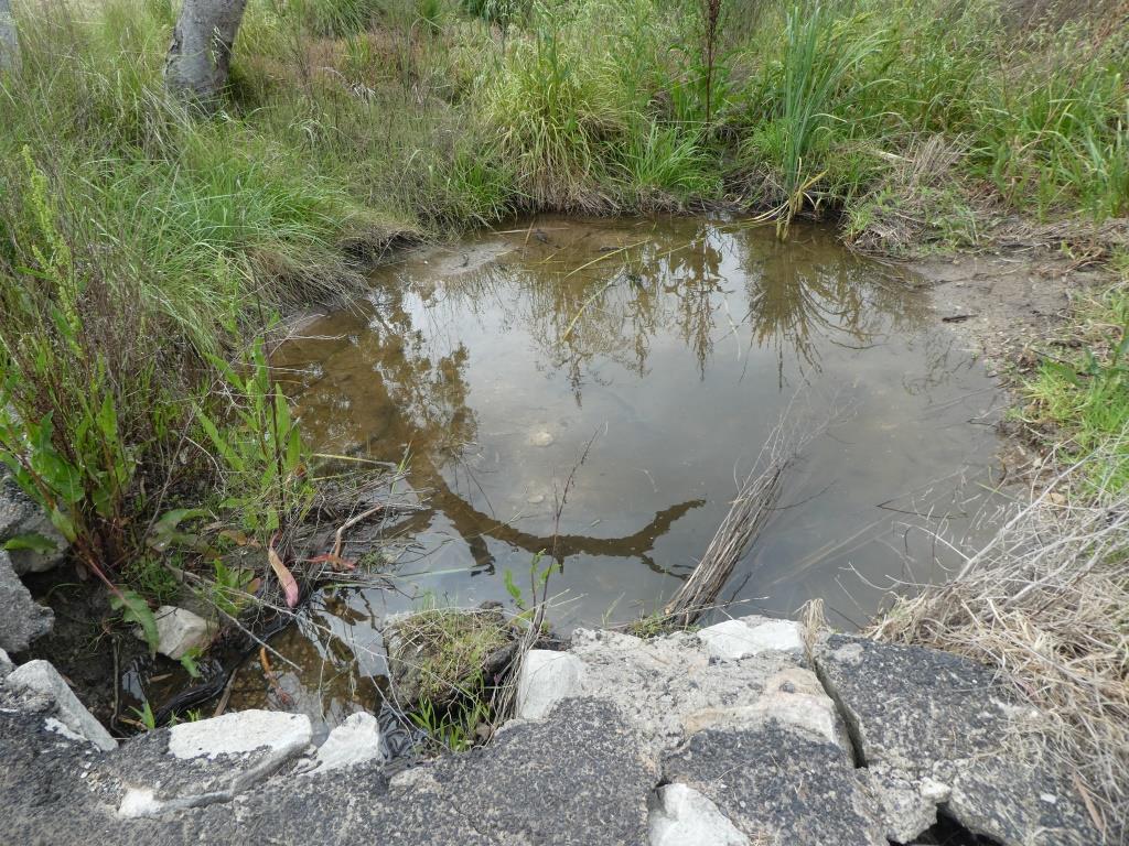
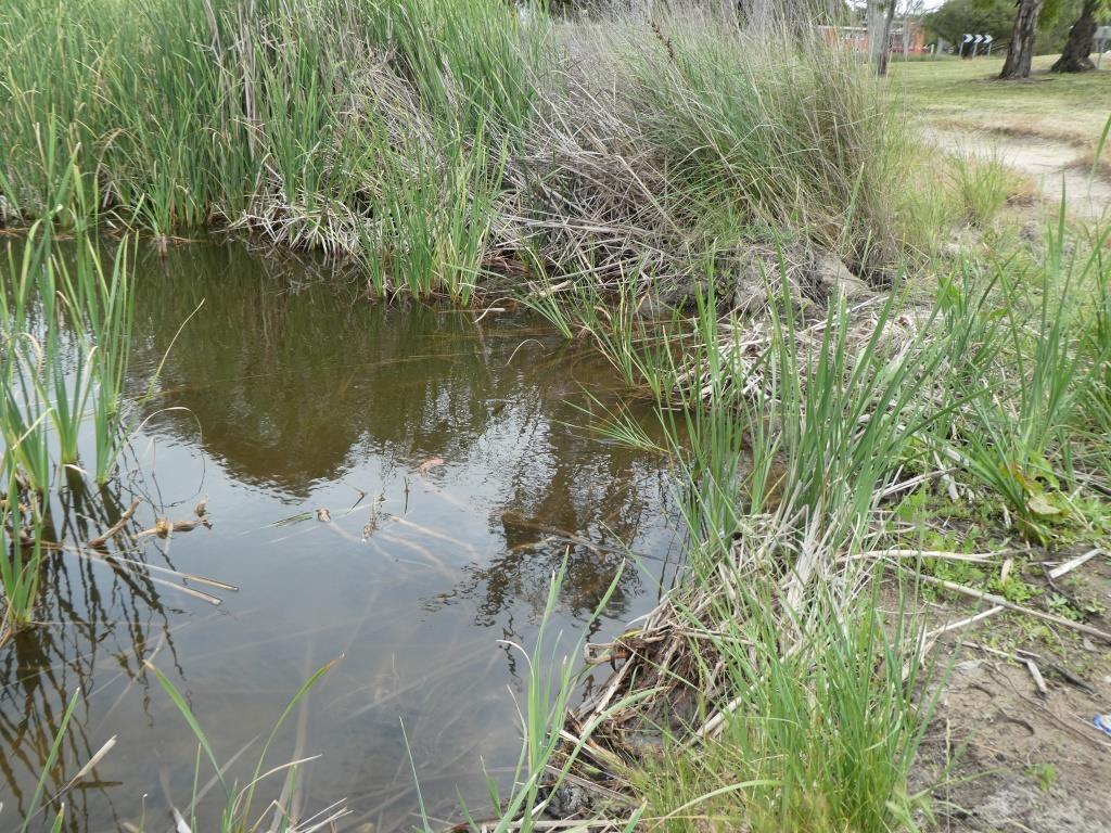
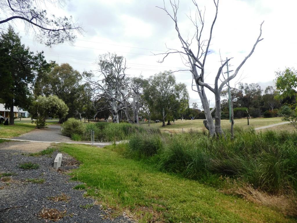
WI_KNT705 Natimuk Creek @Mitchell St Footbridge (west side)
Site details
Overview
| Site code | WI_KNT705 |
|---|---|
| Site name | Natimuk Creek @Mitchell St Footbridge (west side) |
| Status | Active |
| Water Authority | Wimmera |
| Basin | Wimmera-Avon Rivers |
| Catchment | Wimmera |
| Sub catchment | Wimmera River |
| Reach | 15_89 Natimuk Creek |
| Water type | Creek |
| Council | Horsham Rural City Council |
| History | View all 1 site visits 20-11-2020 - 20-11-2020 |
| Monitoring organisations |
|
 Loading chart
Habitat
| Date | Comment | Bank Erosion Stability | Bank Vegetation | In Stream Cover | Riffles Pools Bends | Verge Vegetation | Overall |
|---|---|---|---|---|---|---|---|
| 20-11-2020 | <p>26 = fair rating.</p> <p>Creek verge is being managed for passive recreation and as such is no longer natural </p> | Good 4 | Fair 6 | Good 8 | Good 4 | Poor 4 | 26 |

All content, files, data and images provided by the Waterwatch Data Portal and Gallery are subject to a Creative Commons Attribution License
Content is made available to be used in any way, and should always attribute Waterwatch and www.vic.waterwatch.org.au
.png)