Waterwatch Data Portal
Waterwatch Site Search
52 results found (Displaying 1 - 25)
| Site code | Name | ||
|---|---|---|---|
EG_BDL013 |
Bore 1 - Bayview Road (closest to John's property)Inactive Bore 24_4 Mitchell River 24-02-2000 - 14-10-2003 87 Site visits |
||
EG_BDL012 |
Bore 2 - Bayview RoadInactive Bore 24_4 Mitchell River 25-02-2000 - 14-10-2003 33 Site visits |
||
EG_BDL013 |
Bore 3 - Bayview RoadInactive Bore 24_4 Mitchell River 25-02-2000 - 14-10-2003 32 Site visits |
||
EG_CCK010 |
Clifton Creek - Howitt driveInactive Other 24_4 Mitchell River 22-04-1995 - 07-05-2002 20 Site visits |
||
EG_CCK02 |
Clifton Creek EastWood bridgeInactive Creek 24_4 Mitchell River 13-04-2014 - 12-10-2014 4 Site visits |
||
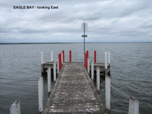
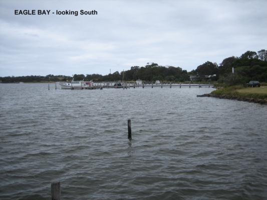
EG_EAG010 |
Eagle Point Bay - boat ramp jettyInactive Estuary 24_4 Mitchell River 27-02-2009 - 18-08-2014 20 Site visits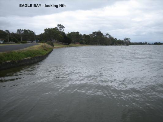
|
||
EG_JOB050 |
Jamieson Wetland BroadlandsActive Pond/Wetland 24_4 Mitchell River 17-08-2017 - 23-10-2018 9 Site visits |
||
EG_JON020 |
Jones Bay - "The Cut", Mitchell RiverInactive Other 24_4 Mitchell River 09-01-1998 - 12-11-2002 28 Site visits |
||
EG_JOB055 |
Jones Bay 'FOGL Site"Inactive Estuary 24_4 Mitchell River 22-02-2012 - 26-01-2015 28 Site visits
|
||
EG_JOB056 |
Jones Bay 'The CutInactive River 24_4 Mitchell River 09-02-2012 - 24-04-2024 28 Site visits
|
||
EG_JON022 |
Jones Bay - "The Cut" outlet of Mitchell River @ bottomInactive Other 24_4 Mitchell River 22-03-2000 - 26-11-2001 2 Site visits |
||
EG_JON101 |
Jones Bay - Carp exclusion Zone @ 1mInactive Other 24_4 Mitchell River 26-10-1998 - 07-09-2001 20 Site visits |
||
EG_JON100 |
Jones Bay - Carp Exclusion Zone @ SurfaceInactive Other 24_4 Mitchell River 26-10-1998 - 12-11-2002 40 Site visits |
||
EG_JON012 |
Jones bay - Over Zostera Meadow @ 2 MetersInactive Other 24_4 Mitchell River 08-04-1998 - 18-02-1999 3 Site visits |
||
EG_JON011 |
Jones Bay - Over Zostera Meadow @ 1 MeterInactive Other 24_4 Mitchell River 09-01-1998 - 12-11-2002 41 Site visits |
||
EG_JON021 |
Jones Bay -"The Cut", Mitchell River @ 1 meterInactive Other 24_4 Mitchell River 09-01-1998 - 26-11-2001 16 Site visits |
||
EG_LEA010 |
Lake King"Eagle Point Bay Compass Points"Inactive Estuary 24_4 Mitchell River 27-02-2009 - 23-08-2014 18 Site visits
|
||
EG_LKK020 |
Lake Victoria - Boole Poole Peninsula livestock damInactive Dam 24_4 Mitchell River 11-05-2001 - 09-05-2004 5 Site visits |
||
EG_LKK010 |
Lake Victoria - Boole Poole Peninsula, Jubilee Head JettyInactive Estuary 24_4 Mitchell River 12-02-2001 - 15-07-2006 24 Site visits |
||
EG_LKK040 |
Lake Victoria - Red pole in Campbell ChannelInactive Estuary 24_4 Mitchell River 07-02-2001 - 27-09-2010 54 Site visits |
||
EG_LVI010 |
Lake Victoria"Newlands Arm Foreshore"Inactive Estuary 24_4 Mitchell River 14-01-2009 - 11-06-2015 58 Site visits
|
||
EG_MIT540 |
Lind BridgeInactive River 24_4 Mitchell River 29-11-2013 - 12-10-2014 11 Site visits |
||
EG_MOR080 |
Macleod Morass - Bore waterInactive Other 24_4 Mitchell River 26-02-2001 - 02-07-2001 17 Site visits |
||
EG_MOR060 |
Macleod Morass - Hunters Lane endInactive Other 24_4 Mitchell River 04-10-2000 - 22-04-2001 4 Site visits |
||
EG_MOR050 |
Macleod Morass - long water holeInactive Other 24_4 Mitchell River 01-06-1998 - 04-06-1999 10 Site visits |
||

All content, files, data and images provided by the Waterwatch Data Portal and Gallery are subject to a Creative Commons Attribution License
Content is made available to be used in any way, and should always attribute Waterwatch and www.vic.waterwatch.org.au
.png)