Waterwatch Data Portal
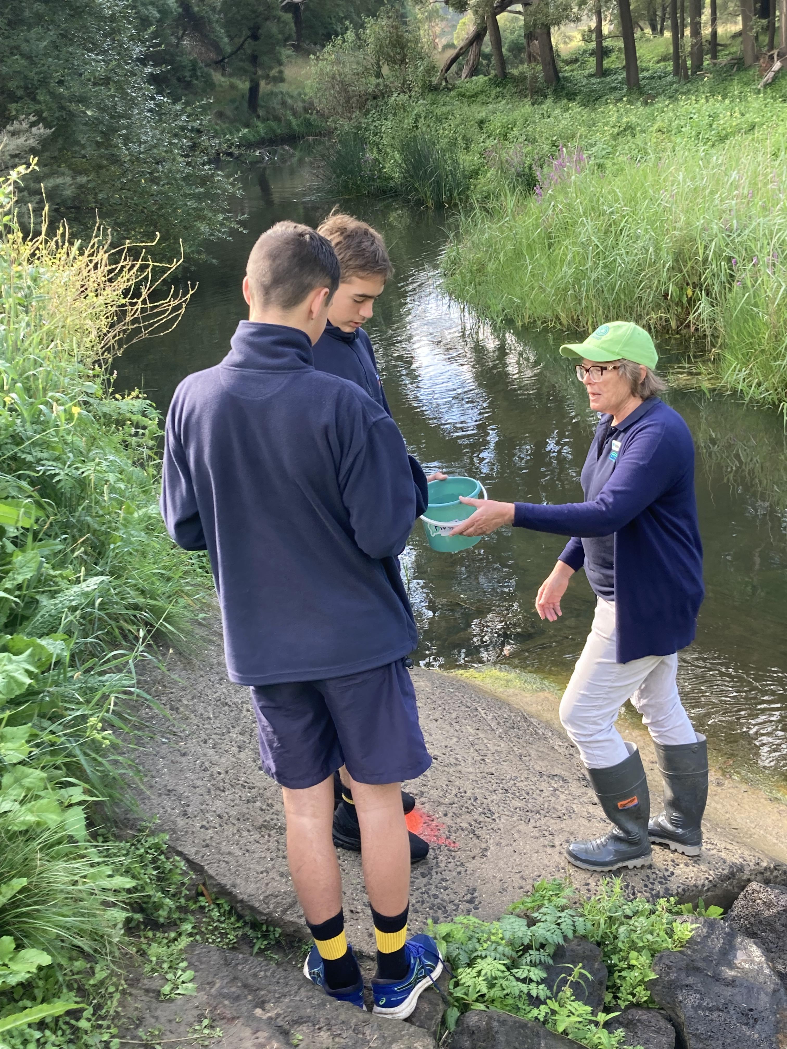
Site visits
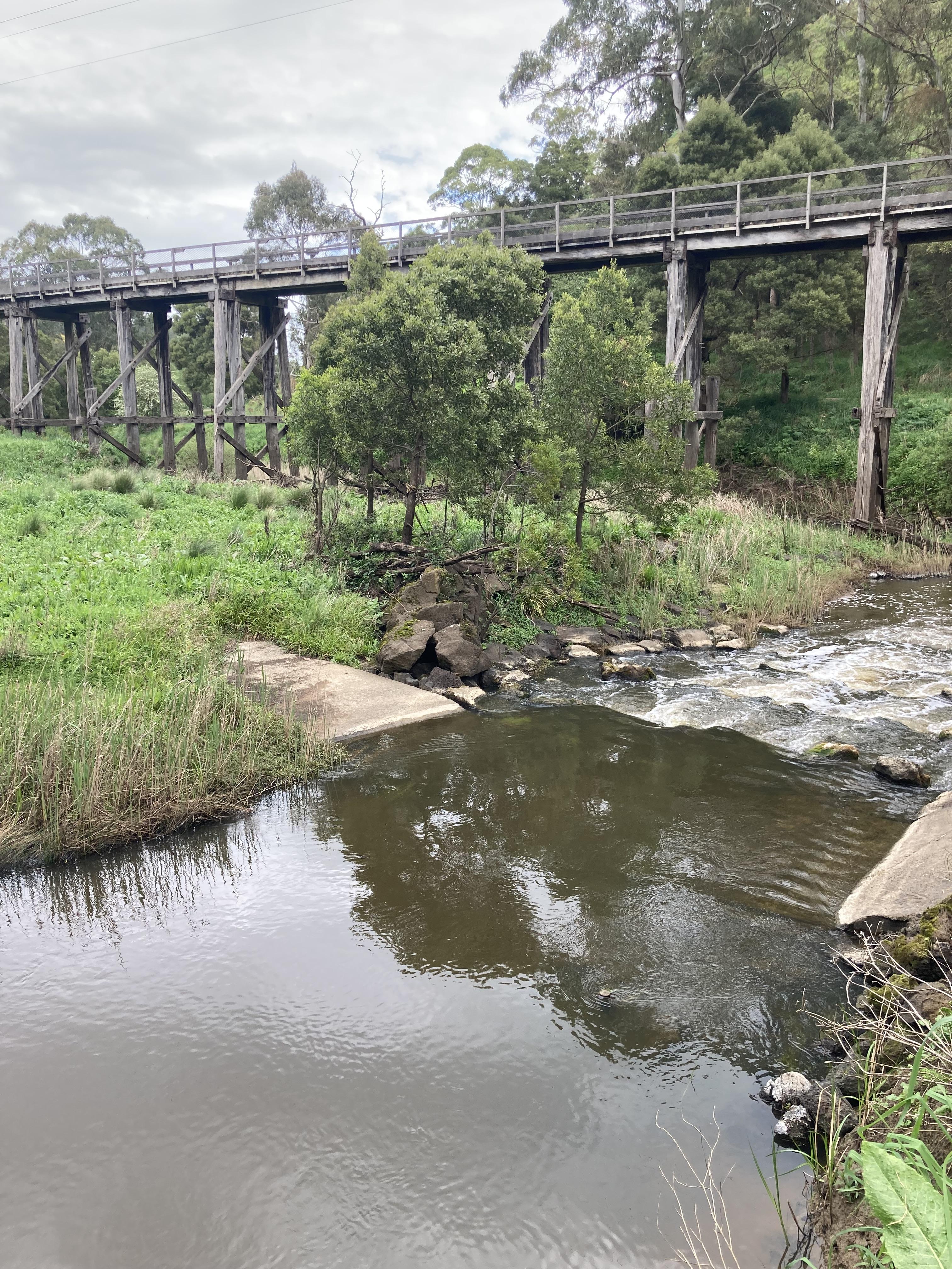
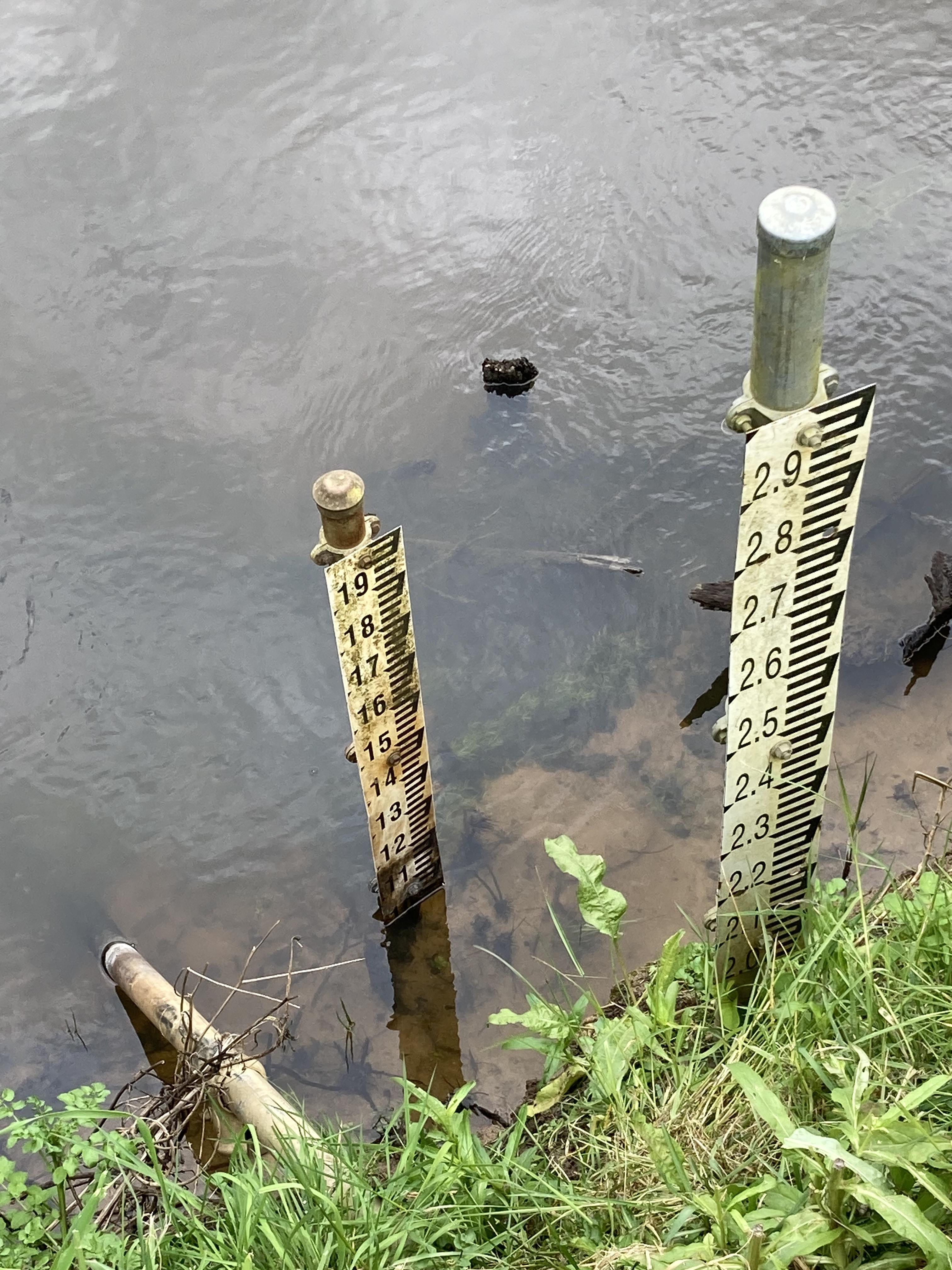
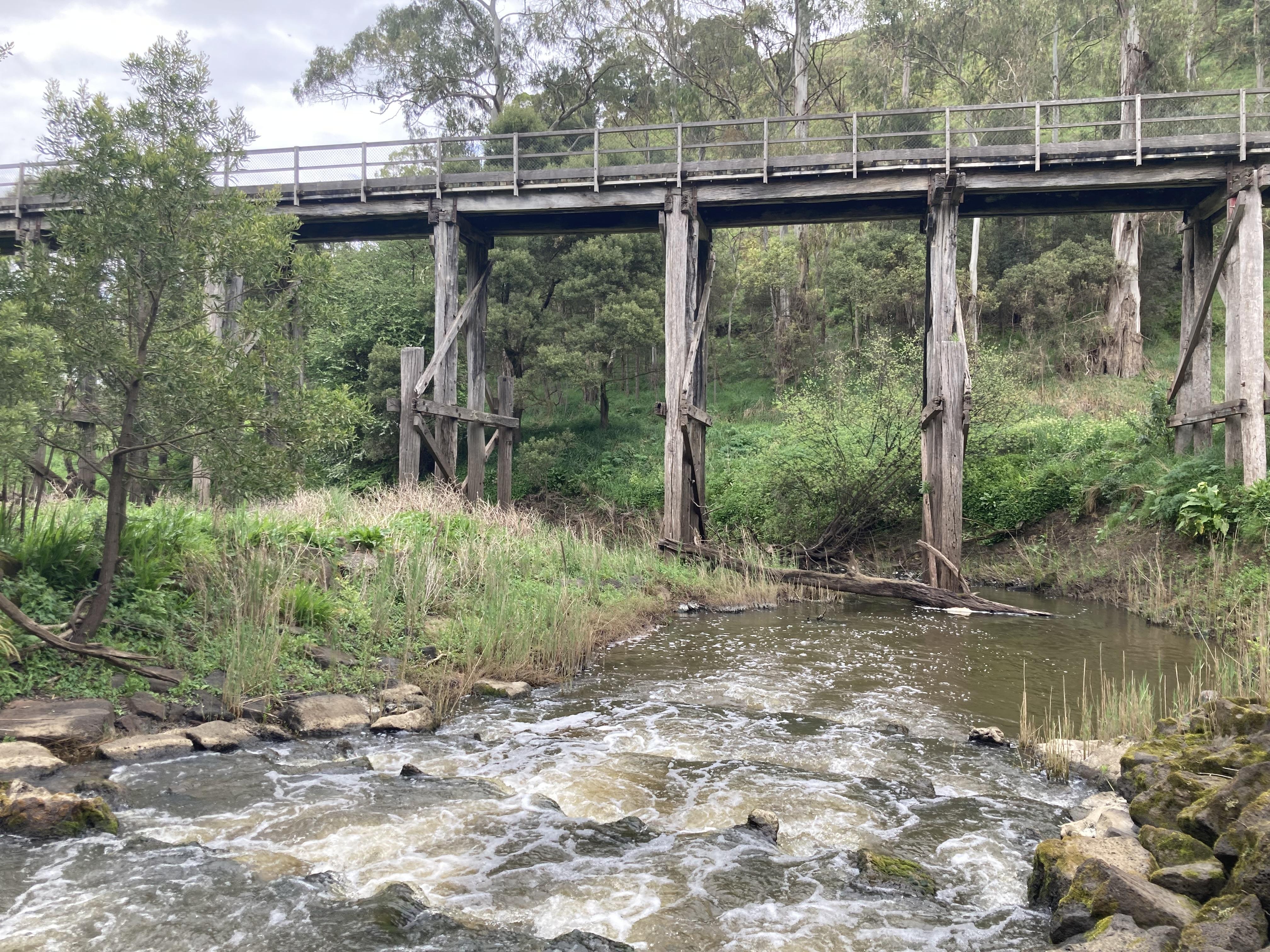
Curdies River @ confluence with Limestone Creek above Timboon-Camperdown rail trail trestle bridge CO_CUR060
Corangamite Otway Coast Otway Coast Curdies River 35_2 Curdies River
11 results found (Displaying 1 - 7)
| Details | ||||||||||||||||||
|---|---|---|---|---|---|---|---|---|---|---|---|---|---|---|---|---|---|---|
|
03-10-2023
14:30pm Approved |
||||||||||||||||||
|
Diary photos
|
||||||||||||||||||
|
Phys chem data
|
||||||||||||||||||
|
23-03-2023
10:45am Approved |
||||||||||||||||||
|
Phys chem data
|
||||||||||||||||||
|
23-03-2023
10:45am Approved |
||||||||||||||||||
|
Diary photos
|
||||||||||||||||||
|
Phys chem data
|
||||||||||||||||||
|
02-03-2021
12:05pm Approved |
||||||||||||||||||
|
Phys chem data
|
||||||||||||||||||
|
Habitat data
|
||||||||||||||||||
|
08-02-2021
14:00pm Approved |
||||||||||||||||||
|
Phys chem data
|
||||||||||||||||||
|
Habitat data
|
||||||||||||||||||
|
11-01-2021
14:00pm Approved |
||||||||||||||||||
|
Phys chem data
|
||||||||||||||||||
|
Habitat data
|
||||||||||||||||||
|
23-11-2019
11:50am Approved |
||||||||||||||||||
|
Phys chem data
|
||||||||||||||||||
|
Habitat data
|

All content, files, data and images provided by the Waterwatch Data Portal and Gallery are subject to a Creative Commons Attribution License
Content is made available to be used in any way, and should always attribute Waterwatch and www.vic.waterwatch.org.au
.png)
Become a part of our social scene
Supported by the Department of Environment, Land, Water and Planning