Waterwatch Data Portal
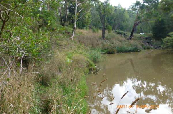
ME_YPL280 Plenty River at Gorge Rd, South Morang, downstream of bridge
8 April 2013
Site visit details
Overview
| Catchment | Yarra River |
|---|---|
| Site | Plenty River at Gorge Rd, South Morang, downstream of bridge ME_YPL280 |
| Date and Time | Monday 8th April 2013 10:40am |
| Approved | Approved |
Physical Chemical Tests
| Ammon-Nit mg/L NH3-N | D.O mg/L | EC µS/cm | FrP mg/L P | Nitrate-Nit mg/L N | pH pH Units | rP mg/L P | Air ° C | Water ° C | Turb FTU | Turb NTU | |
|---|---|---|---|---|---|---|---|---|---|---|---|
| Sample | 7.2 | 410 | 7.7 | 21 | 17 | 65 | 27 |
| Weather | overcast |
|---|---|
| Last rainfall | During the last 24 hours 6 |
| Flow estimate | MEDIUM: flow is normal/typical average flow |
| Water Appearance | Muddy |
| Stream depth | 1m - 2m |
| Stream width | >5m |
| Hazards | |
| Litter/Pollutants |
Water level was 29cm below my reference point, which was 3cm higher than when last monitored. At Mill Park I had 6mm of rain in the last 24 hours, with 11mm in total in the last week.

All content, files, data and images provided by the Waterwatch Data Portal and Gallery are subject to a Creative Commons Attribution License
Content is made available to be used in any way, and should always attribute Waterwatch and www.vic.waterwatch.org.au
.png)