Waterwatch Data Portal
CO_MOO004 Moorabool R @ford (Dolly Creek Rd bridge crossing)
2 May 2023
Site visit details
Overview
| Catchment | Moorabool River |
|---|---|
| Site | Moorabool R @ford (Dolly Creek Rd bridge crossing) CO_MOO004 |
| Date and Time | Tuesday 2nd May 2023 10:50am |
| Approved | Approved |
Physical Chemical Tests
| D.O. % | D.O mg/L | EC µS/cm | pH pH Units | rP mg/L P | Air ° C | Water ° C | Turb NTU | |
|---|---|---|---|---|---|---|---|---|
| Sample | 79.95 | 8.6 | 605 | 7.8 | 0.02 | 15 | 12 | 9 |
| Weather | cloudy |
|---|---|
| Last rainfall | During the last week 5.20 |
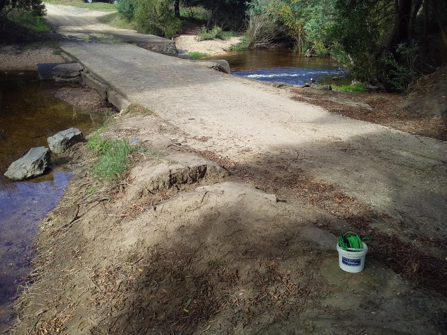
| Flow estimate | MEDIUM: flow is normal/typical average flow |
| Water Appearance | Clear,Stained brown |
| Stream depth | 0 - 50cm |
| Stream width | > 5m |
| Hazards | |
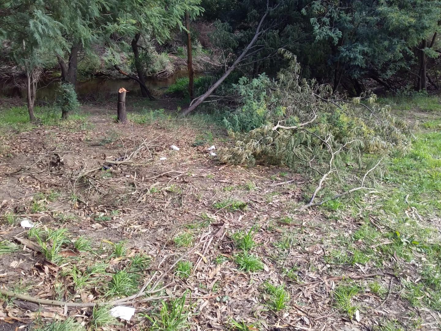
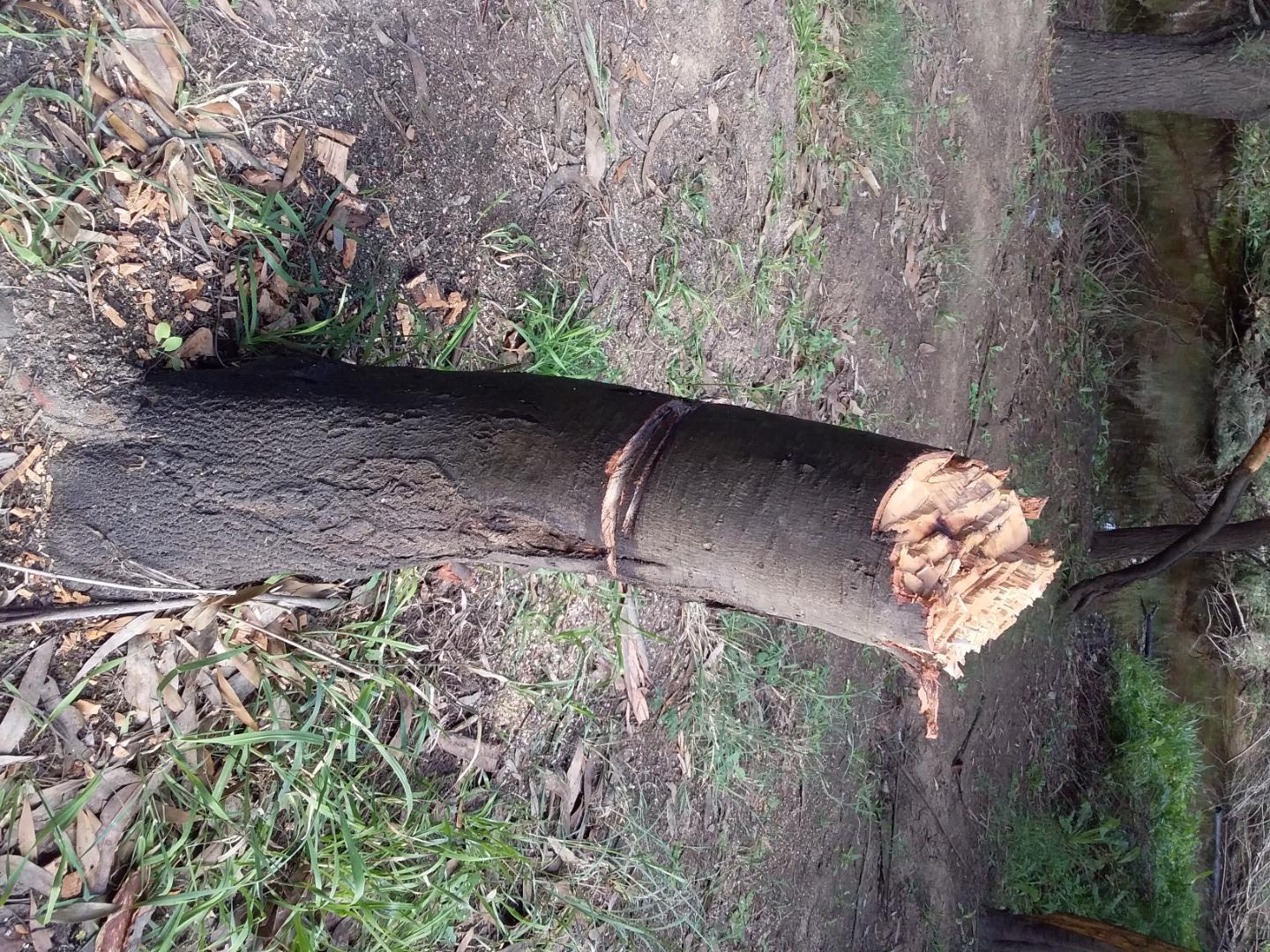
| Litter/Pollutants | bottles,paper,plastic,cans,packets |
A tree near a popular spot to camp and have campfires had been cut down, there was lots of scattered bottles, cans and tissues/toilet paper on both sides of the river banks.

All content, files, data and images provided by the Waterwatch Data Portal and Gallery are subject to a Creative Commons Attribution License
Content is made available to be used in any way, and should always attribute Waterwatch and www.vic.waterwatch.org.au
.png)