Waterwatch Data Portal
NC_BIR110 Birch's Creek - pool 240m downstream from dam wall
21 April 2022
Overview
| Catchment | Loddon River |
|---|---|
| Site | Birch's Creek - pool 240m downstream from dam wall NC_BIR110 |
| Date and Time | Thursday 21st April 2022 15:45pm |
| Approved | Approved |
Physical Chemical Tests
| EC µS/cm | pH pH Units | rP mg/L P | Air ° C | Water ° C | Turb NTU | |
|---|---|---|---|---|---|---|
| Sample | 244 | 7 | 0 | 11 | 9 |
| Weather | overcast |
|---|---|
| Last rainfall | During the last 24 hours |
| Flow estimate | LOW: Minimum flow in channel/continuous flow in some part of channel (in-stream habitats connected) |
| Water Appearance | Clear |
| Stream depth | Other:Unknown stream depth |
| Stream width | > 5m |
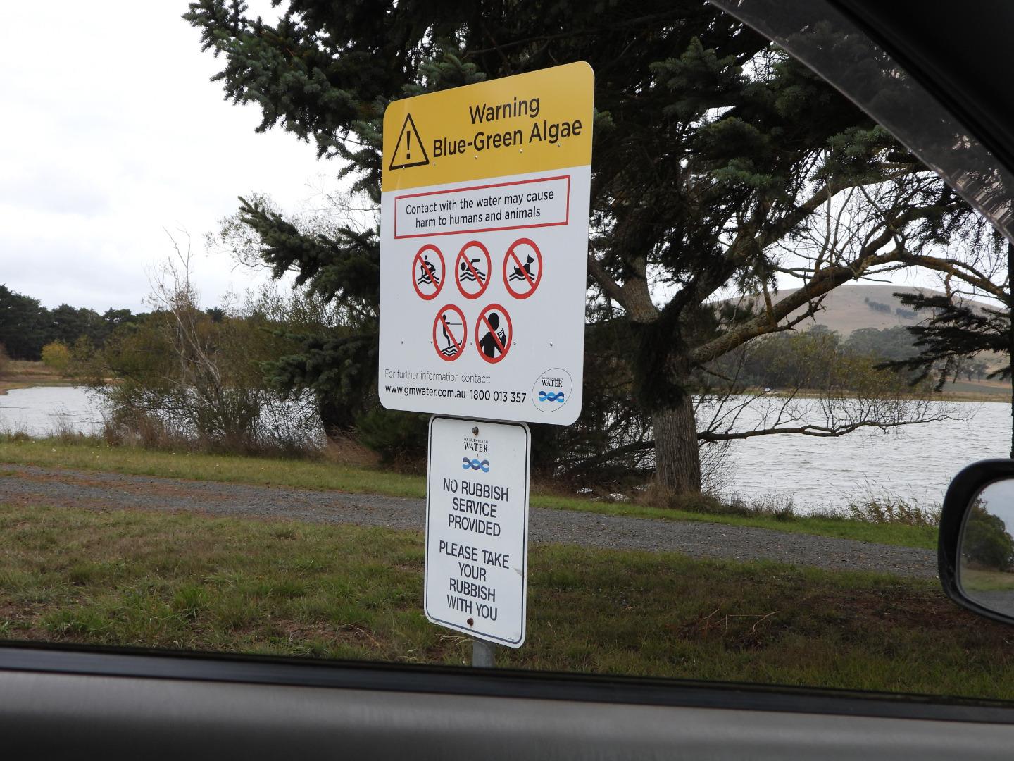
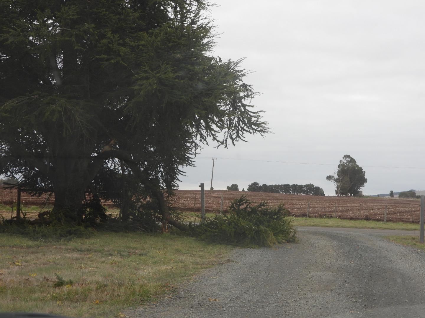
| Hazards | 3 Hazards. 1. HAZARD: Branch down partly across access track to Res. RISK: Hit with car RISK CONTROL MEASURE: Drive carefull around it having checked it was OK 2. HAZARD:Blue-green algae (Sign at Res. Do not know if it would have been in creek) RISK:Health impacts if contact water CONTROL: Don't touch water, use gloves 3. HAZARD: Selecting safe new Collection Point due to plants just below surface at previous location RISK: Slipping/tripping/falling while assessing/selecting new site CONTROL:Assess carefully new location. walk mindfully. NOTE: Have photos of all three potential hazards |
| Litter/Pollutants |
Circumstantial hazards and additional risks
3 Hazards. 1. HAZARD: Branch down partly across access track to Res. RISK: Hit with car RISK CONTROL MEASURE: Drive carefull around it having checked it was OK 2. HAZARD:Blue-green algae (Sign at Res. Do not know if it would have been in creek) RISK:Health impacts if contact water CONTROL: Don't touch water, use gloves 3. HAZARD: Selecting safe new Collection Point due to plants just below surface at previous location RISK: Slipping/tripping/falling while assessing/selecting new site CONTROL:Assess carefully new location. walk mindfully. NOTE: Have photos of all three potential hazards
--------------------------------------------------
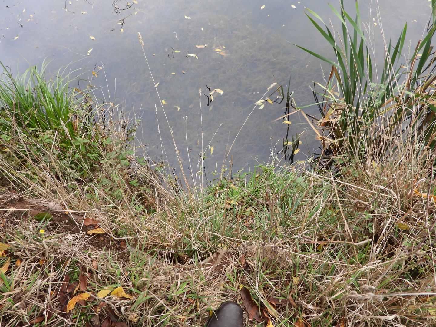
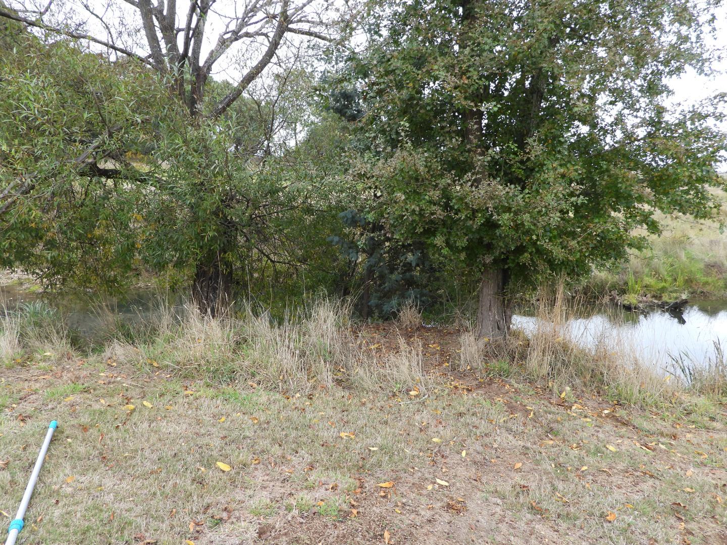
New Collection Point
The new collection point is upstream about 5 metres from the previous location. There is a path down the bank to the RHS of two trees along from the previous location. I will add a photo. The previous site had plants just below the surface so would impact the water collection. When the water level is higher the previous site wil be fine. I will check the original site next month to see if it's OK and return there if so.
--------------------------------------------------------
Didn't measure water temp. I couldn't recall how to do this. I will relearn at the May training session, before the next data collection day. Apologies. I noticed the booklet said it's not critical.
---------------------------------------
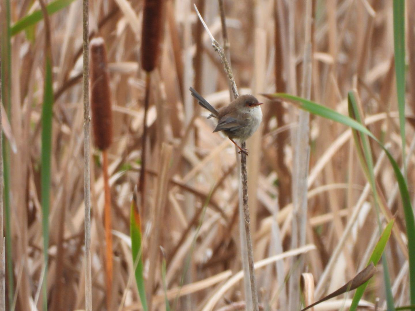
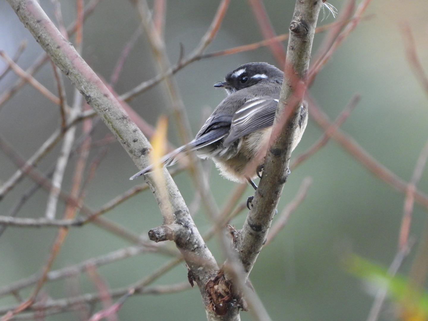
Bird List Stationary approx 50 metres for 5 mins
- 5 Australian Magpies
- 4 Superb Fairywrens
- 1 Grey Fantail
- 1 Eurasian Blackbird
- 1 Pied Currawong
------------------------------------------
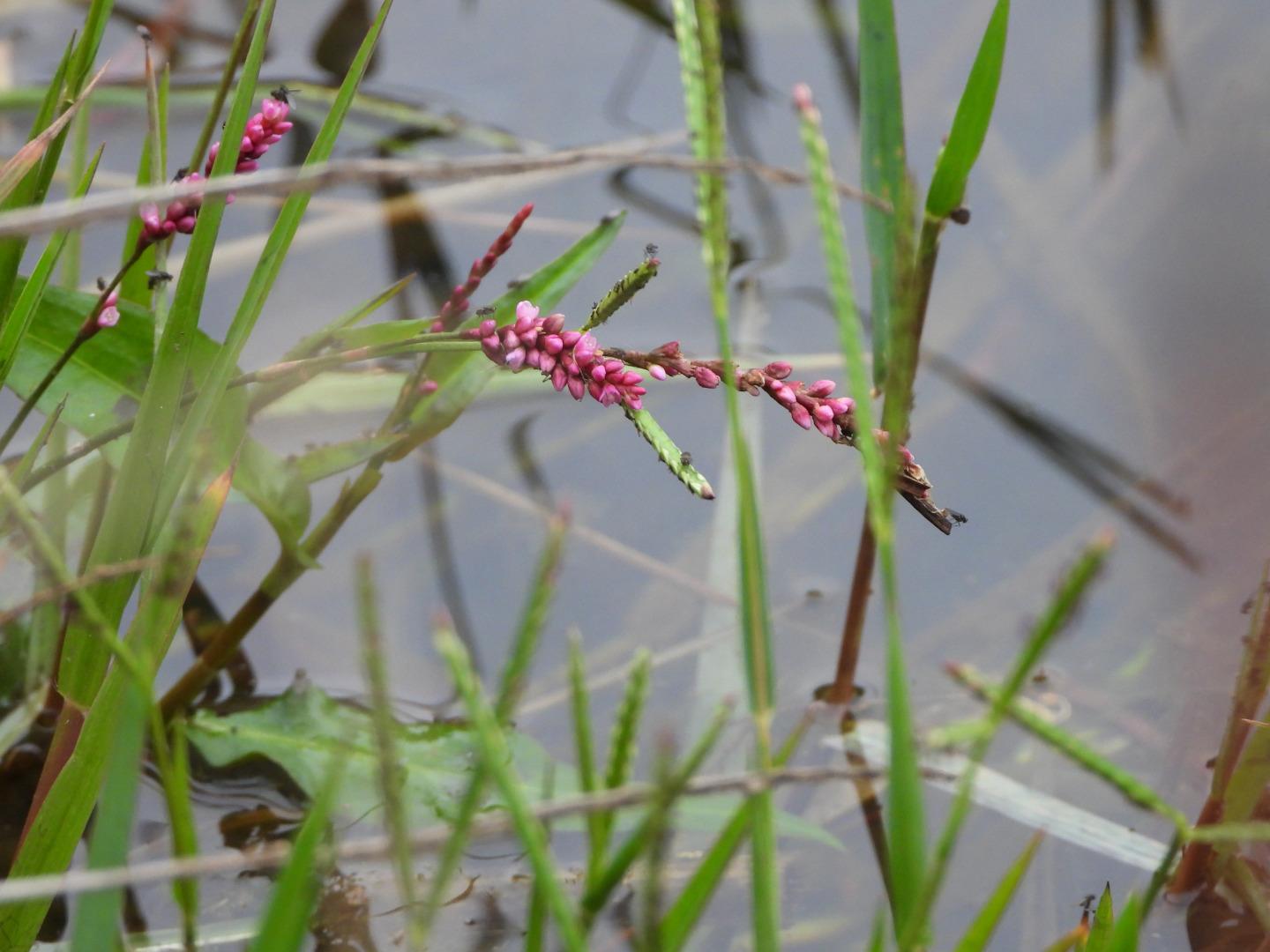
Photo inc of flowering creekside plant with insects

All content, files, data and images provided by the Waterwatch Data Portal and Gallery are subject to a Creative Commons Attribution License
Content is made available to be used in any way, and should always attribute Waterwatch and www.vic.waterwatch.org.au
.png)