Waterwatch Data Portal
CO_MOE070 Moorabool River East branch @ Egerton-Ballark Rd
27 January 2022
Site visit details
Overview
| Catchment | Moorabool River |
|---|---|
| Site | Moorabool River East branch @ Egerton-Ballark Rd CO_MOE070 |
| Date and Time | Thursday 27th January 2022 11:00am |
| Approved | Approved |
Physical Chemical Tests
| D.O. % | D.O mg/L | EC µS/cm | pH pH Units | rP mg/L P | Air ° C | Water ° C | P mg/L | Turb NTU | |
|---|---|---|---|---|---|---|---|---|---|
| Sample | 31.58 | 2.7 | 1103 | 7.2 | 0.07 | 30 | 23 | 11 |
| Weather | cloudy |
|---|---|
| Last rainfall | During the last 24 hours 5.40 |
| Flow estimate | MEDIUM: flow is normal/typical average flow |
| Water Appearance | Stained brown |
| Stream depth | 0 - 50cm |
| Stream width | 2m - 5m |
| Hazards | |
| Litter/Pollutants |
Habitat survey done today
Habitat
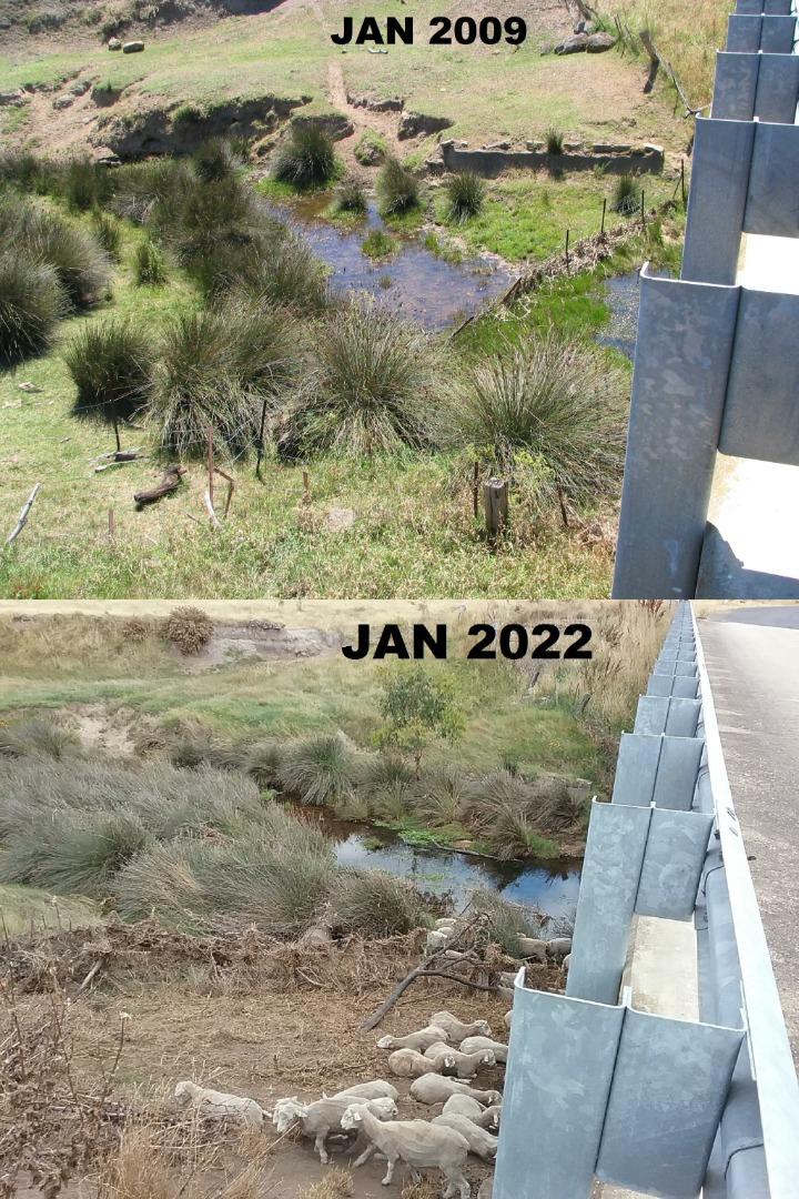
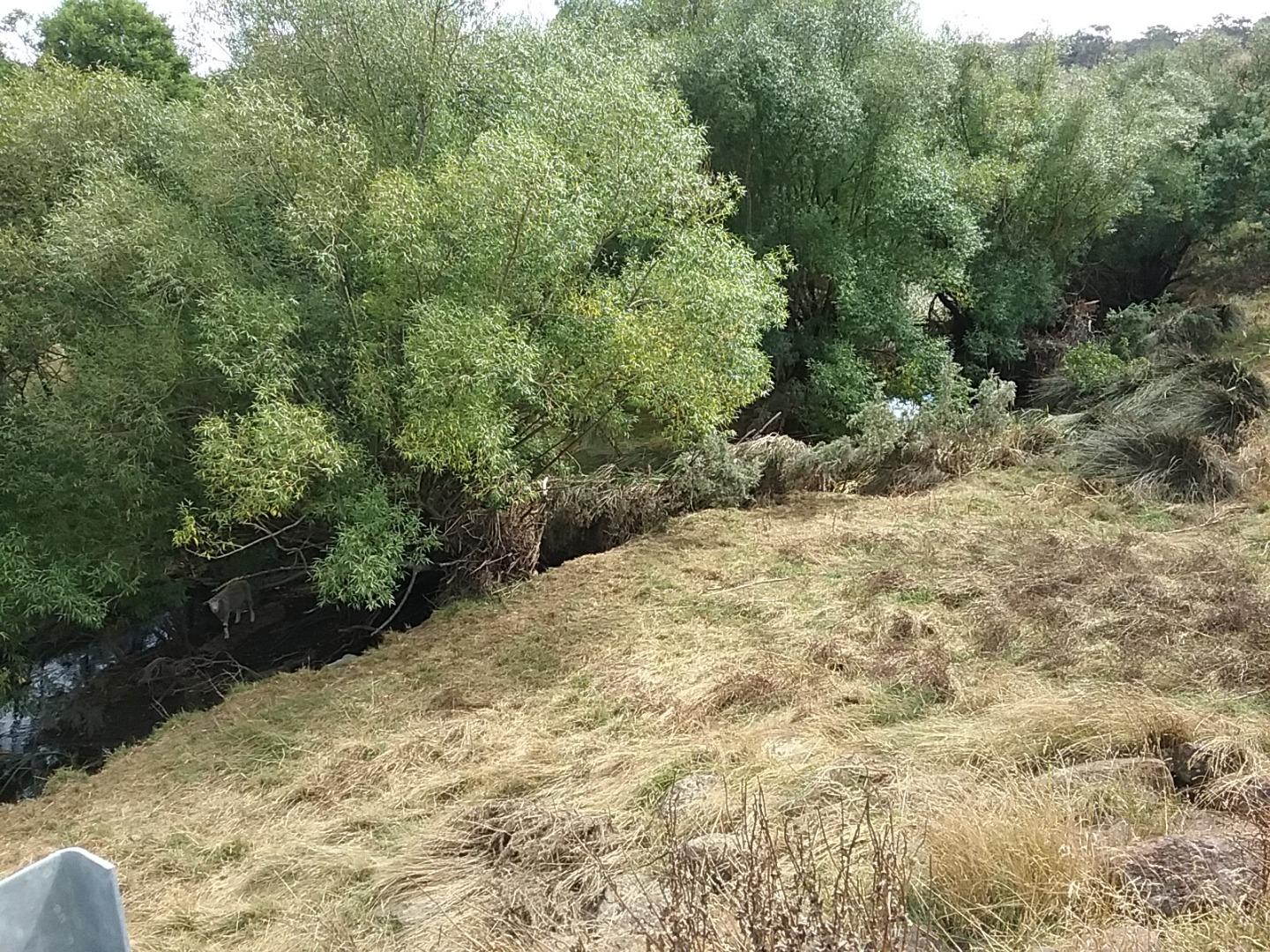
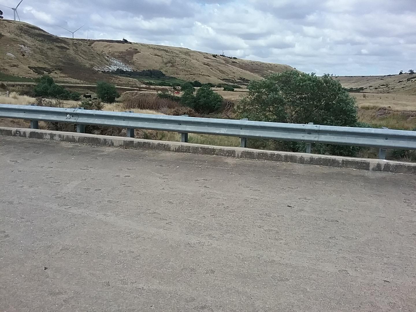
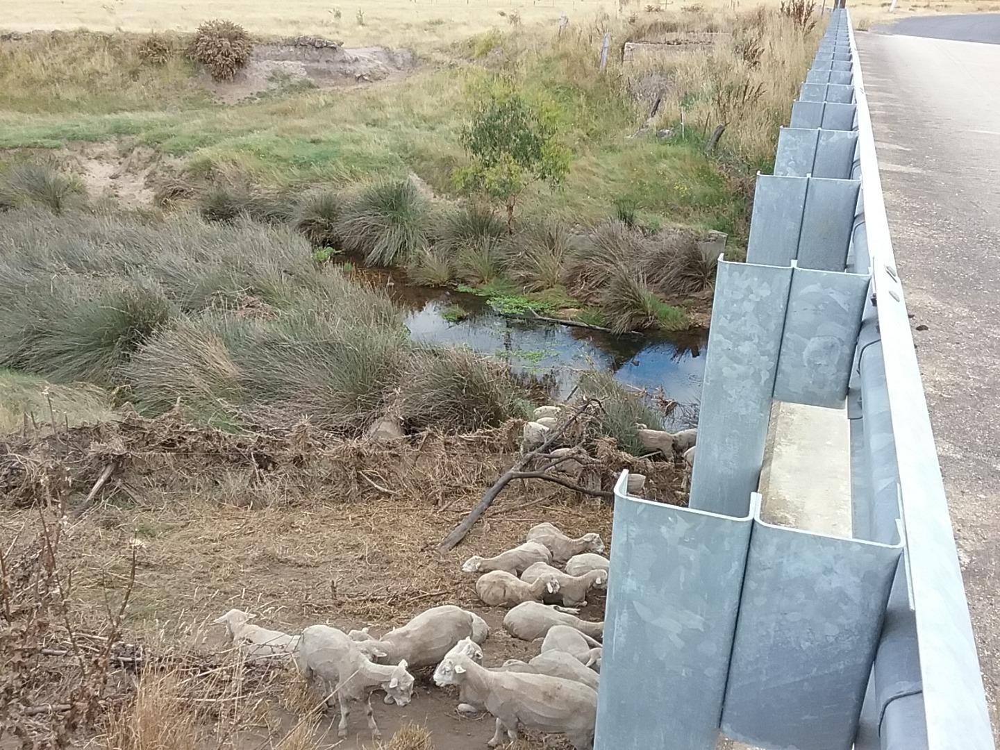
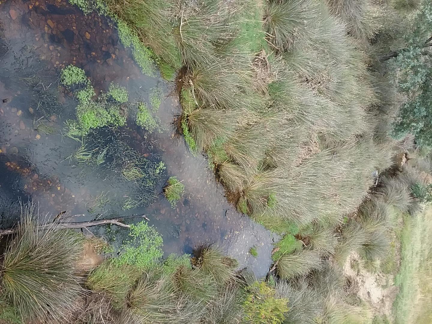
<p>We have had a spell of hot weather over a few days, today it is 30°c it appears the sheep have been finding shelter around the bridge and under the trees along the river bank. There are cattle also grazing along the river further down. There is freshly flatened grass and debris on some parts of the bank probably from a recent flood. There are a couple of what appears to be serated tussocks in the distant verge vegetation.(I have tried to take into account and even out my observations when rating the stream habitat scores looking upstream does score a lot higher than looking downstream from the bridge). I will put some photos in the diary.</p>
| Bank Erosion Stability | Bank Vegetation | In Stream Cover | Riffles Pools Bends | Verge Vegetation | Overall |
|---|---|---|---|---|---|
| Poor 2 | Fair 6 | Fair 6 | Fair 3 | VeryPoor 2 | 19 |

All content, files, data and images provided by the Waterwatch Data Portal and Gallery are subject to a Creative Commons Attribution License
Content is made available to be used in any way, and should always attribute Waterwatch and www.vic.waterwatch.org.au
.png)