Waterwatch Data Portal
Site visit details
Overview
| Catchment | Bunyip River |
|---|---|
| Site | Top Dam on Wylies Creek RBGV ME_EWY005 |
| Date and Time | Friday 1st October 2021 10:08am |
| Approved | Approved |
Physical Chemical Tests
| Ammon-Nit mg/L NH3-N | D.O. % | D.O mg/L | EC µS/cm | pH pH Units | rP mg/L P | Air ° C | Water ° C | Turb FAU | |
|---|---|---|---|---|---|---|---|---|---|
| Sample | 0 | 0 | 280 | 6.2 | 0.196 | 18.3 | 14.9 | 1000 |
| Weather | overcast |
|---|---|
| Last rainfall | During the last 24 hours 25.00 |
| Flow estimate | FLOOD / OVERBANK: flow is high and water level has exceeded bank capacity and is connecting with floodplain |
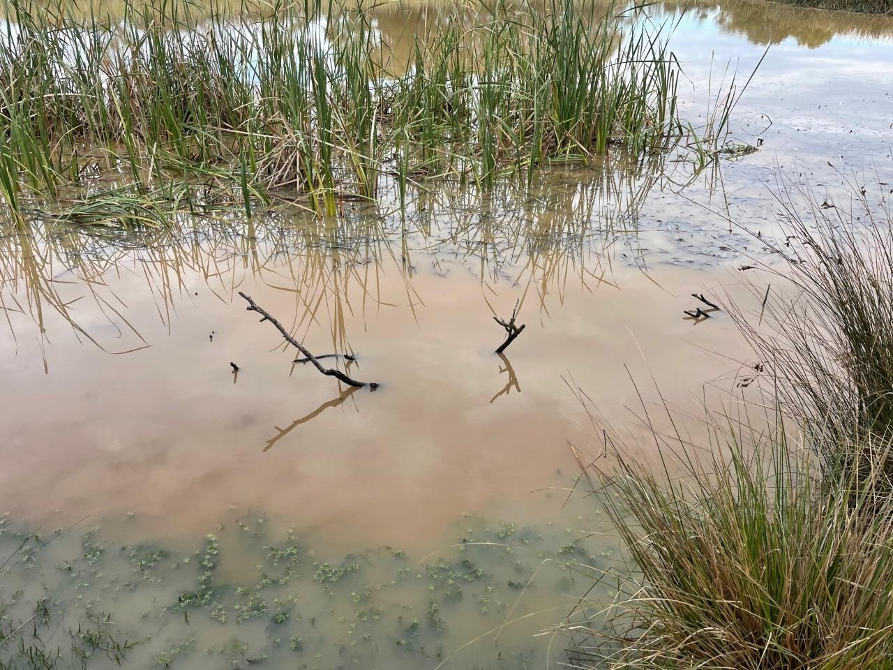
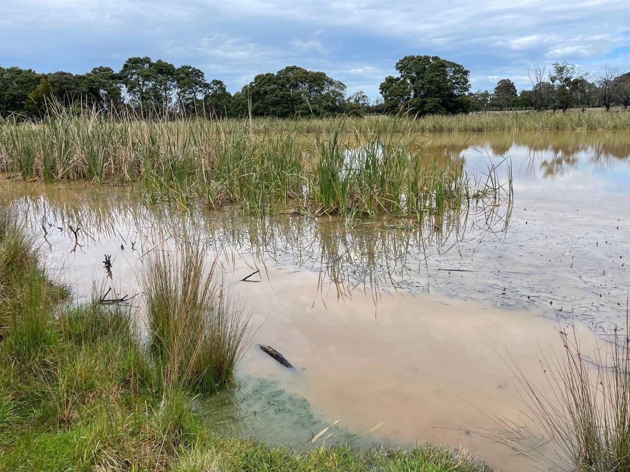
| Water Appearance | Muddy |
| Stream depth | Other:4m+ |
| Stream width | Other:100m |
| Hazards | High sediment |
| Litter/Pollutants |
Extreme turbidity due sedimnet run off from upstream housing develpment.
FAU came back as 'overrange' on Colorimeter however this cannot be entered into the above template - so used upper limit numerical value instead
RBGV is in conversation with City of Casey compliance team to address the issue with developers

All content, files, data and images provided by the Waterwatch Data Portal and Gallery are subject to a Creative Commons Attribution License
Content is made available to be used in any way, and should always attribute Waterwatch and www.vic.waterwatch.org.au
.png)