Waterwatch Data Portal
NC_BUL180 Bullock Creek: Upper Spring Ck Landcare, B10
4 May 2021
Site visit details
Overview
| Catchment | Loddon River |
|---|---|
| Site | Bullock Creek: Upper Spring Ck Landcare, B10 NC_BUL180 |
| Date and Time | Tuesday 4th May 2021 15:15pm |
| Approved | Approved |
Physical Chemical Tests
| EC µS/cm | pH pH Units | rP mg/L P | Air ° C | Water ° C | Turb NTU | |
|---|---|---|---|---|---|---|
| Sample | 13 |
| Weather | cloudy |
|---|---|
| Last rainfall | During the last 24 hours 5.50 |
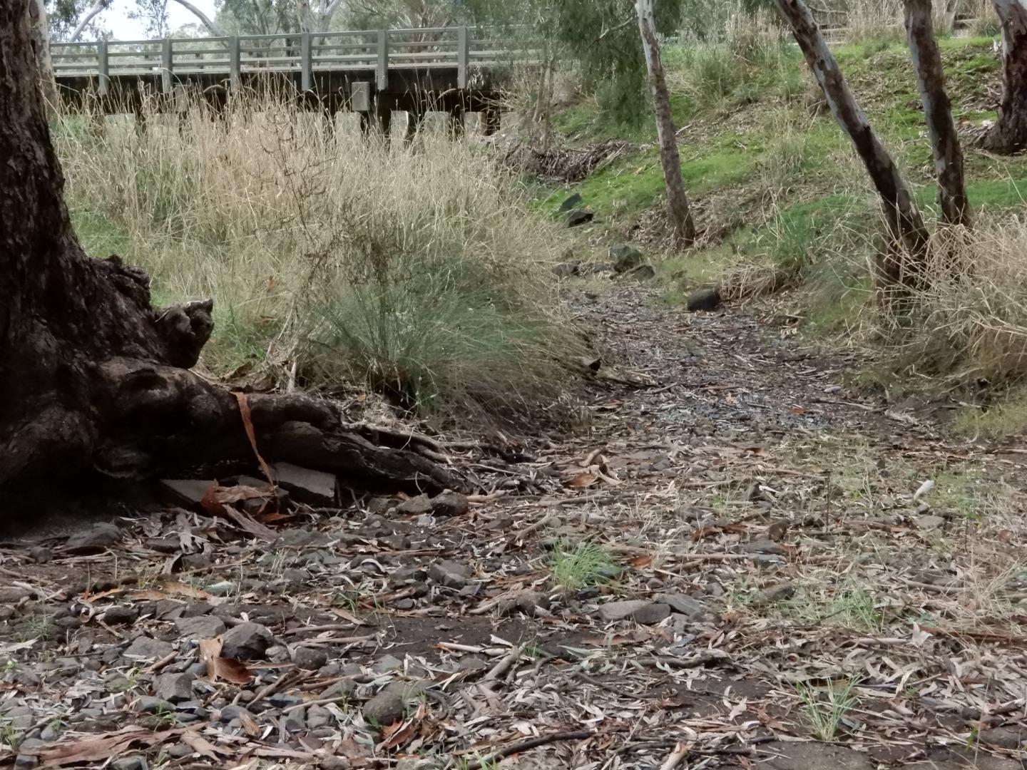
| Flow estimate | DRY: No continuous flow in channel and no pools |
| Water Appearance | |
| Stream depth | |
| Stream width | |
| Hazards | none |
| Litter/Pollutants |
No water was visible in the channel which follows the culvert under the Alt Calder Hwy, 500m north of Stewarts Lane. photo DSCN9410 is on file.

All content, files, data and images provided by the Waterwatch Data Portal and Gallery are subject to a Creative Commons Attribution License
Content is made available to be used in any way, and should always attribute Waterwatch and www.vic.waterwatch.org.au
.png)