Waterwatch Data Portal
ME_EWY010 Lower Dam on Wylies Creek RBGV
1 October 2021
Site visit details
Overview
| Catchment | Bunyip River |
|---|---|
| Site | Lower Dam on Wylies Creek RBGV ME_EWY010 |
| Date and Time | Friday 1st October 2021 10:40am |
| Approved | Approved |
Physical Chemical Tests
| Ammon-Nit mg/L NH3-N | D.O. % | D.O mg/L | EC µS/cm | pH pH Units | rP mg/L P | Air ° C | Water ° C | Turb FAU | |
|---|---|---|---|---|---|---|---|---|---|
| Sample | 0.19 | 58.07 | 5.8 | 290 | 6.3 | 0.085 | 18.7 | 15.4 | 96.11 |
| Weather | overcast |
|---|---|
| Last rainfall | During the last 24 hours 25.00 |
| Flow estimate | FLOOD / OVERBANK: flow is high and water level has exceeded bank capacity and is connecting with floodplain |
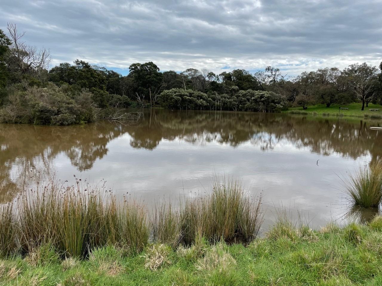
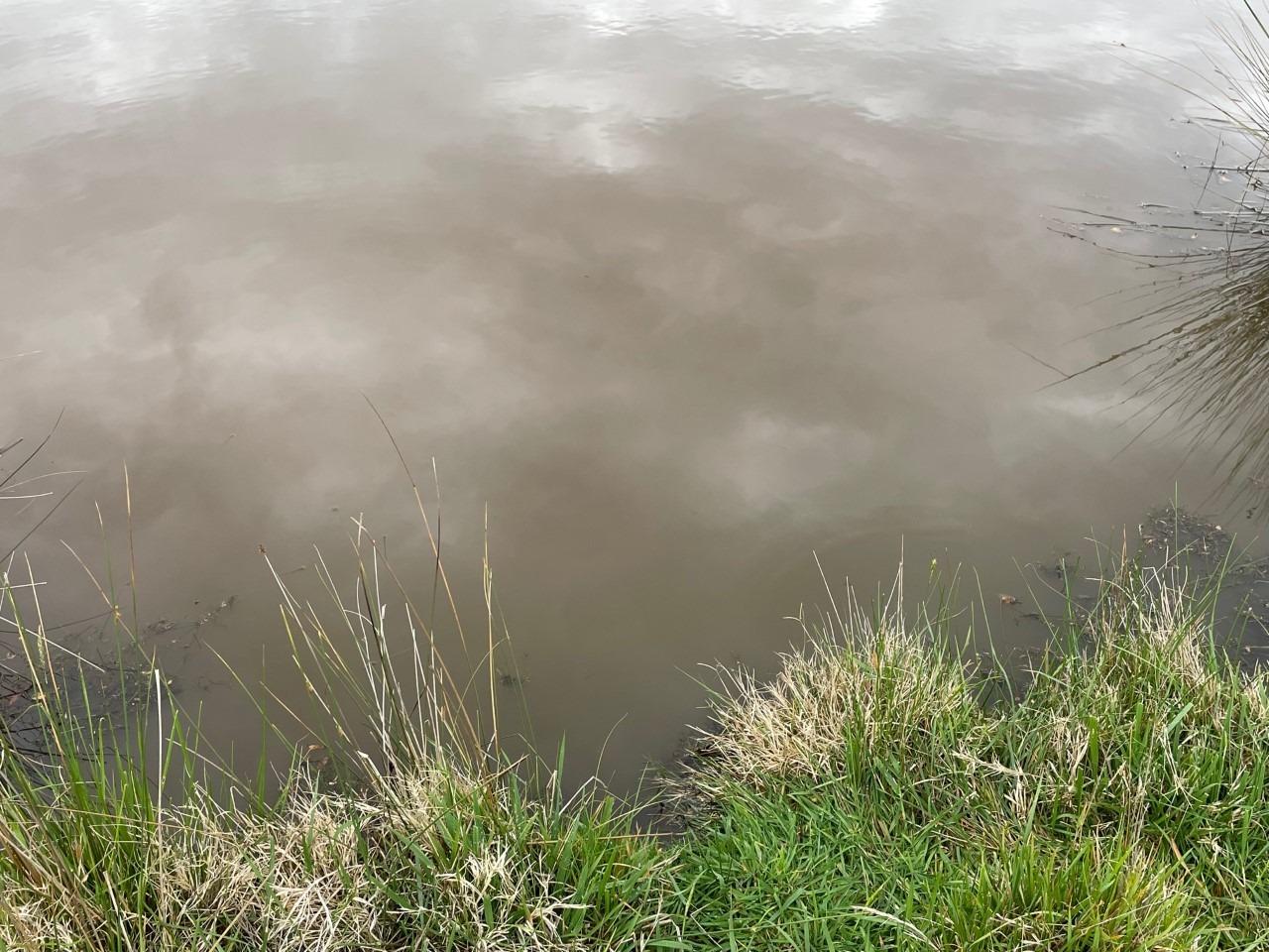
| Water Appearance | Muddy |
| Stream depth | Other:4+m |
| Stream width | Other:100 |
| Hazards | upstream sediment run off |
| Litter/Pollutants |

All content, files, data and images provided by the Waterwatch Data Portal and Gallery are subject to a Creative Commons Attribution License
Content is made available to be used in any way, and should always attribute Waterwatch and www.vic.waterwatch.org.au
.png)