Waterwatch Data Portal
Waterwatch Site Search
49 results found (Displaying 11 - 20)
| Site code | Name | ||
|---|---|---|---|
EG_JOB050 |
Jamieson Wetland BroadlandsActive Pond/Wetland 24_4 Mitchell River 17-08-2017 - 23-10-2018 9 Site visits |
||
EG_JON020 |
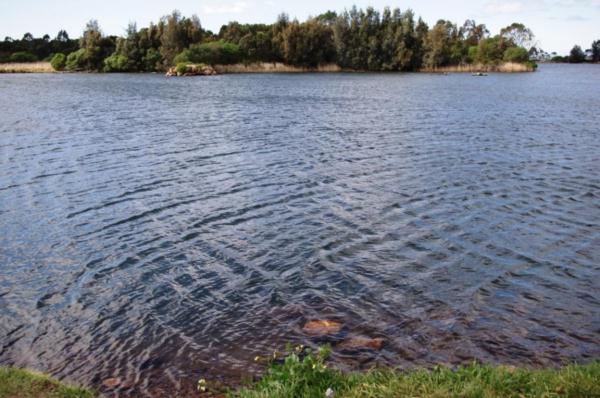
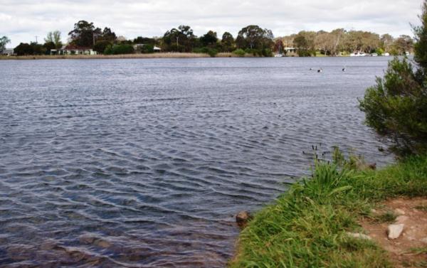
Jones Bay - "The Cut", Mitchell RiverInactive Other 24_4 Mitchell River 09-01-1998 - 12-11-2002 28 Site visits |
||
EG_JOB055 |
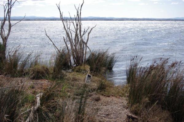
Jones Bay 'FOGL Site"Inactive Estuary 24_4 Mitchell River 22-02-2012 - 26-01-2015 28 Site visits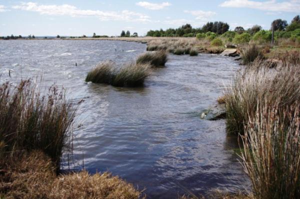
|
||
EG_JOB056 |
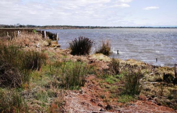
Jones Bay 'The CutInactive River 24_4 Mitchell River 09-02-2012 - 24-04-2024 28 Site visits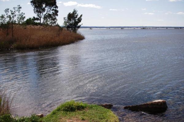
|
||
EG_JON050 |
Jones Bay - outlet into Lake King at red navigational pegInactive Other 11-03-1998 - 12-11-2002 18 Site visits |
||
EG_JON101 |
Jones Bay - Carp exclusion Zone @ 1mInactive Other 24_4 Mitchell River 26-10-1998 - 07-09-2001 20 Site visits |
||
EG_JON100 |
Jones Bay - Carp Exclusion Zone @ SurfaceInactive Other 24_4 Mitchell River 26-10-1998 - 12-11-2002 40 Site visits |
||
EG_JON031 |
Jones Bay - Open Water @ 1meterInactive Other 09-01-1998 - 12-11-2002 46 Site visits |
||
EG_JON032 |
Jones Bay - Open Water @ 2 metersInactive Other 09-01-1998 - 12-11-2002 39 Site visits |
||
EG_JON033 |
Jones Bay - Open Water @ 3 MetersInactive Other 08-04-1998 - 04-07-2000 4 Site visits |
||

All content, files, data and images provided by the Waterwatch Data Portal and Gallery are subject to a Creative Commons Attribution License
Content is made available to be used in any way, and should always attribute Waterwatch and www.vic.waterwatch.org.au
.png)