Waterwatch Data Portal
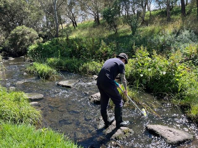
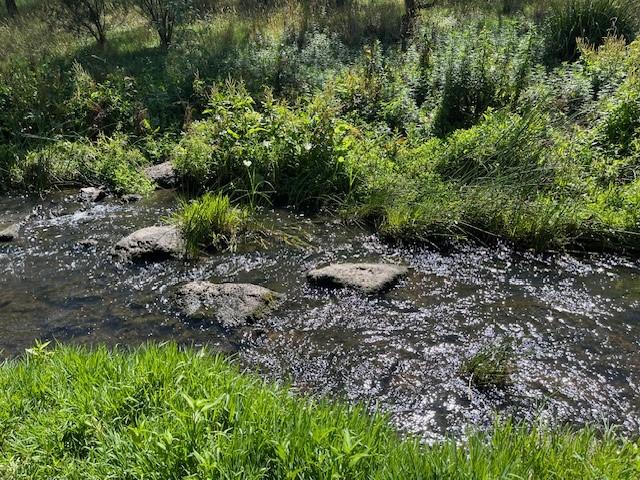
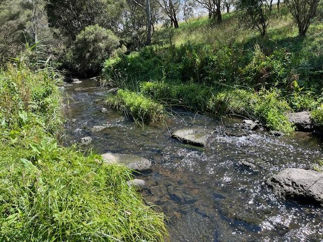
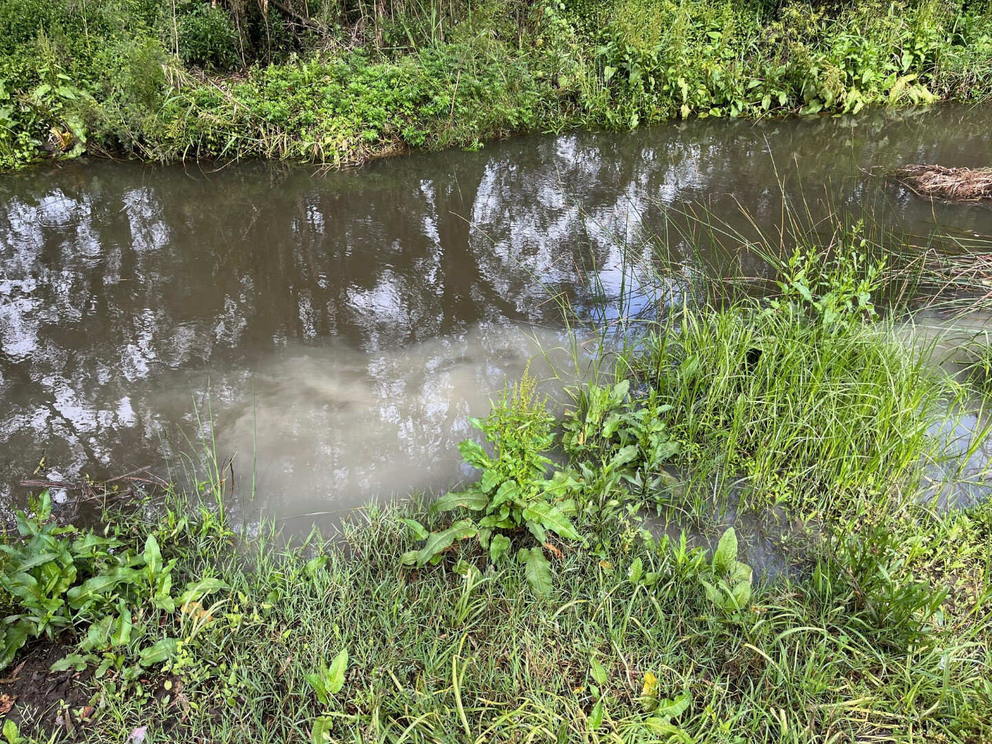
ME_YDA419 Darebin Creek, adjacent to Nangak Tamboree wetlands, 60 metres DS of pipe outfall (next to sewage pit), Latrobe University, Bundoora
Site details
Overview
| Site code | ME_YDA419 |
|---|---|
| Site name | Darebin Creek, adjacent to Nangak Tamboree wetlands, 60 metres DS of pipe outfall (next to sewage pit), Latrobe University, Bundoora |
| Status | Active |
| Water Authority | Melbourne |
| Basin | Yarra River |
| Catchment | Yarra River |
| Sub catchment | Darebin Creek (Urban) |
| Reach | 29_9 Darebin Creek |
| Water type | Creek |
| Council | Darebin City Council |
| History | View all 0 site visits 26-10-2023 - 14-03-2024 |
| Monitoring organisations |
|
 Loading chart
Habitat
| Date | Comment | Bank Erosion Stability | Bank Vegetation | In Stream Cover | Riffles Pools Bends | Verge Vegetation | Overall |
|---|---|---|---|---|---|---|---|
| 22-12-2023 | Good 4 | Good 8 | Fair 6 | Good 4 | Good 8 | 30 |


All content, files, data and images provided by the Waterwatch Data Portal and Gallery are subject to a Creative Commons Attribution License
Content is made available to be used in any way, and should always attribute Waterwatch and www.vic.waterwatch.org.au
.png)