Waterwatch Data Portal
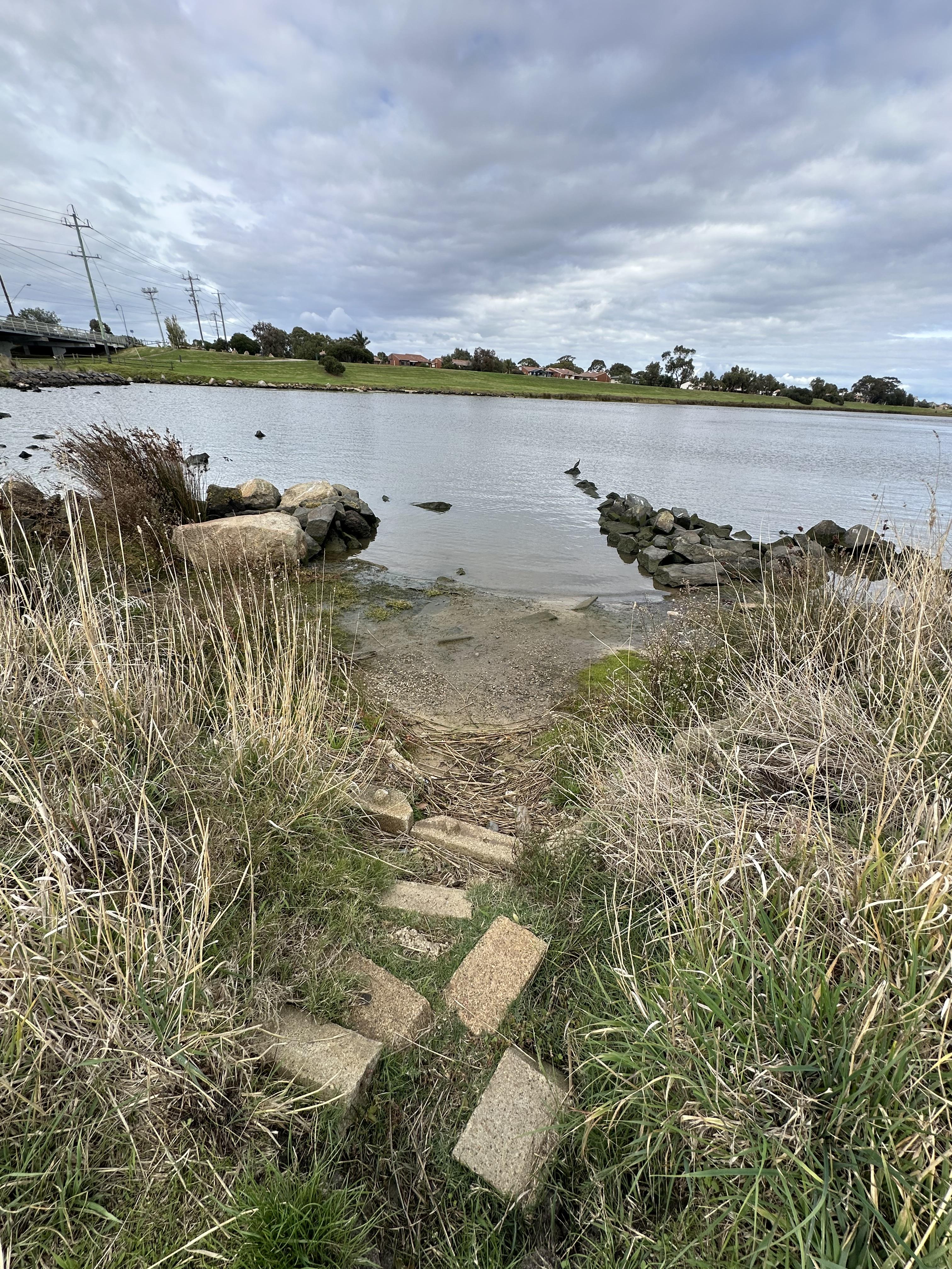
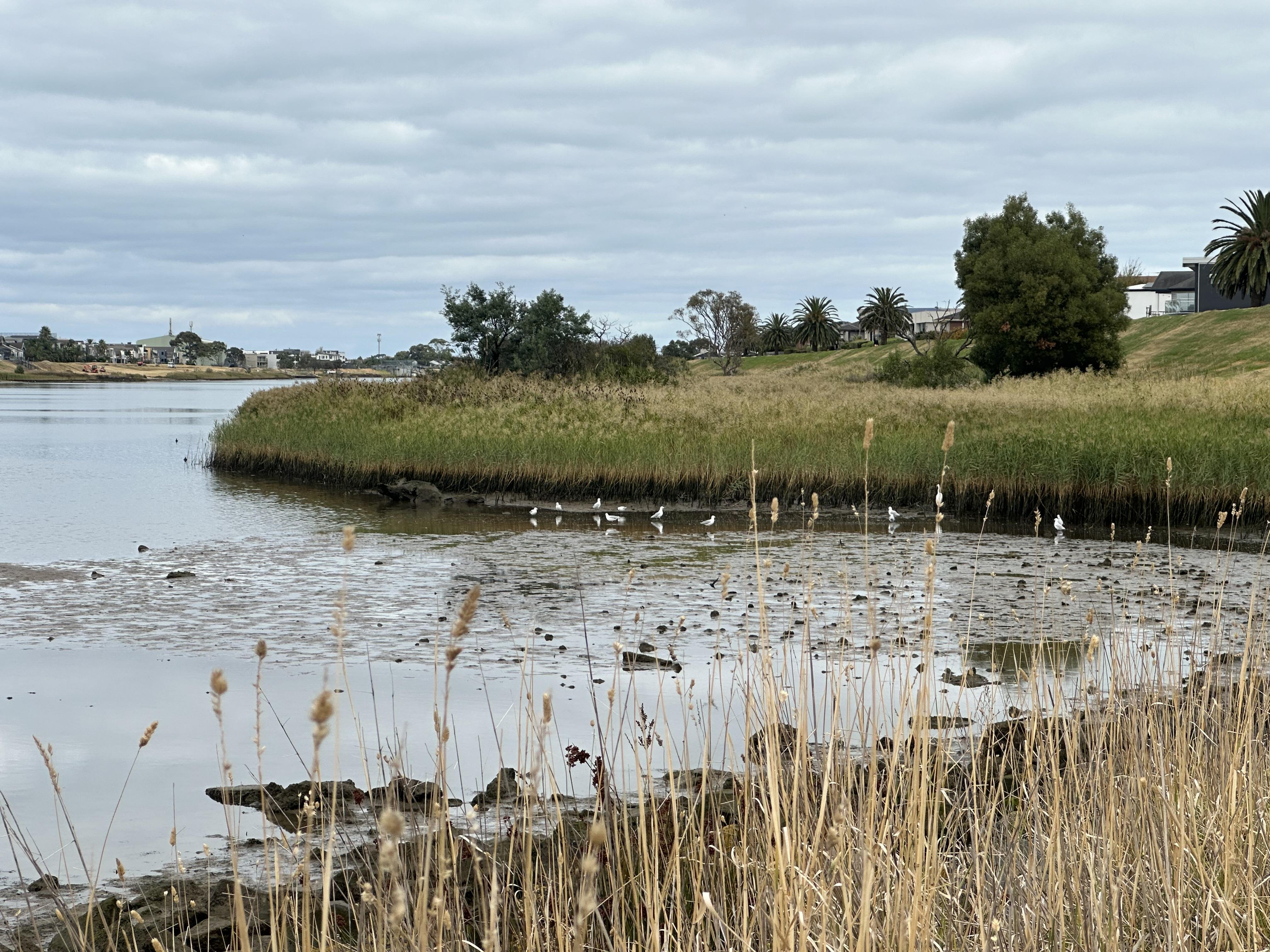
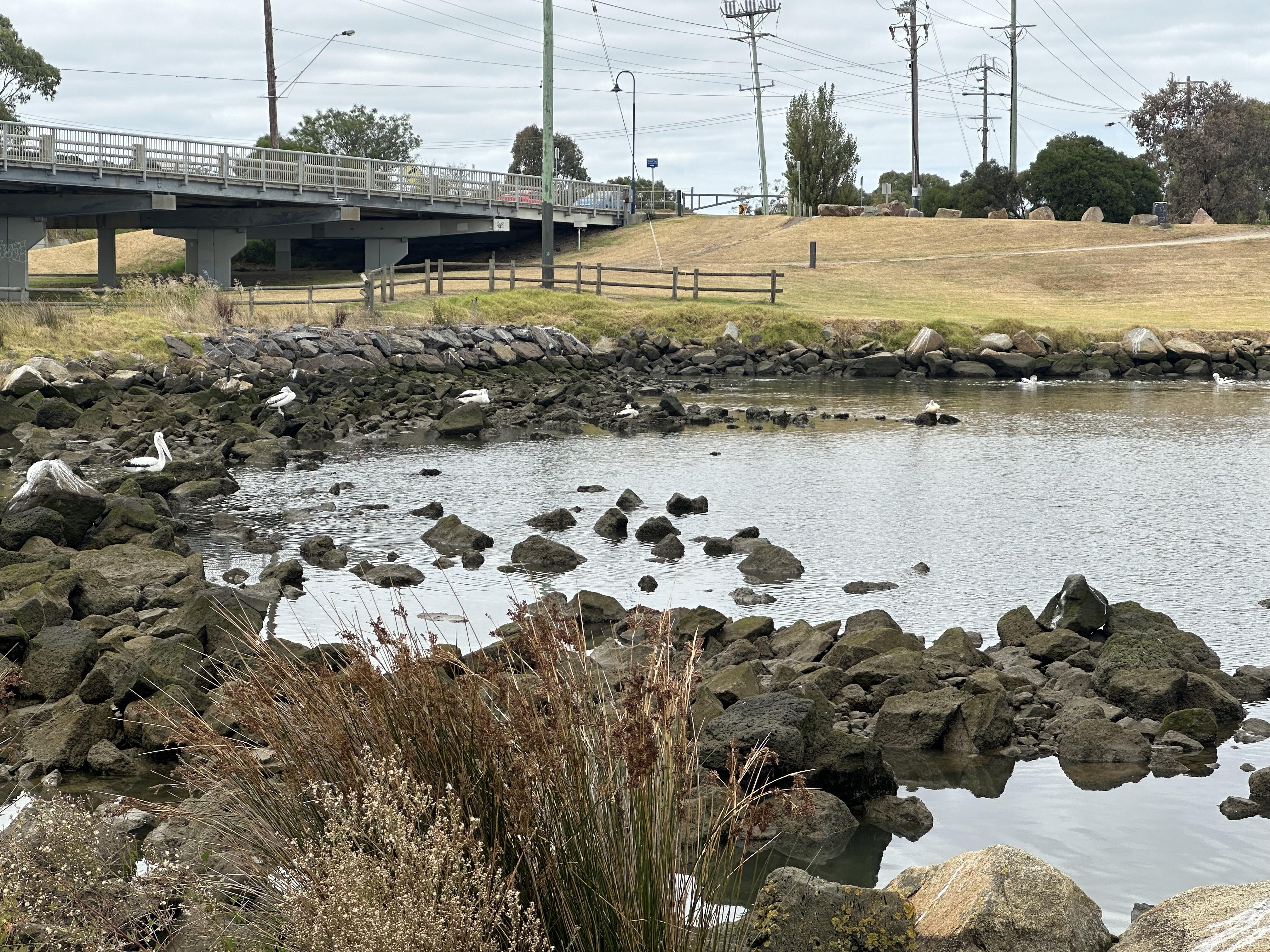
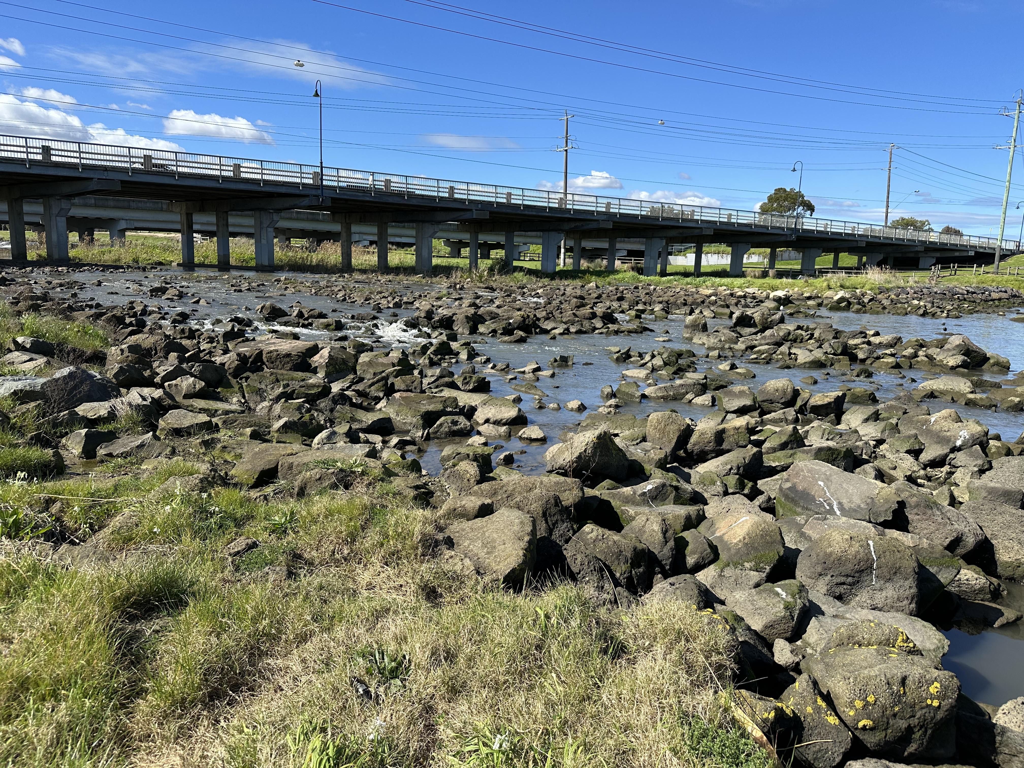
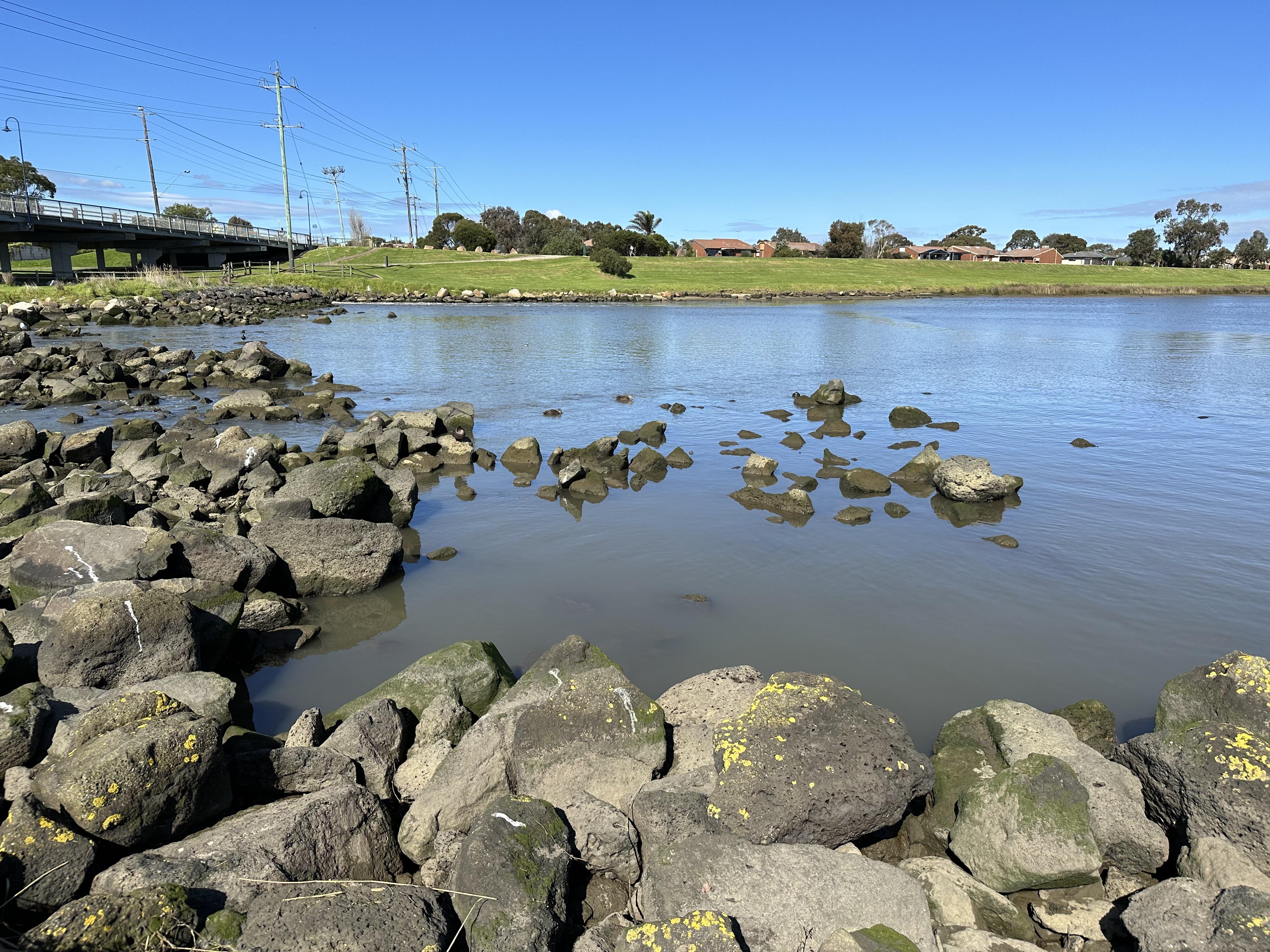
ME_DDN198_RD Patterson River at Bangholme West of Freeway
Site details
Overview
| Site code | ME_DDN198_RD |
|---|---|
| Site name | Patterson River at Bangholme West of Freeway |
| Status | Active |
| Water Authority | Melbourne |
| Basin | Bunyip River |
| Catchment | Bunyip River |
| Sub catchment | Patterson River |
| Reach | |
| Water type | Drain |
| Council | Greater Dandenong City Council |
| History | View all 11 site visits 14-06-2023 - 18-04-2024 |
| Monitoring organisations |
|
Site visits
 Loading chart
| Date | EC µS/cm | pH pH Units | rP mg/L P | Reactive Phosphate (ppb) ppb | Air ° C | Water ° C | Turb NTU |
|---|---|---|---|---|---|---|---|
| 14-06-2023 | 7 | 0.02 | 15 | 12 | 30 | ||
| 23-08-2023 | 6 | 0 | 16 | 14 | 30 | ||
| 30-08-2023 | |||||||
| 25-10-2023 | 6 | 0 | 18 | 18 | 20 | ||
| 25-10-2023 | 6 | 0 | 18 | 18 | 20 | ||
| 22-11-2023 | 16.7 | 6 | 100 | 19 | 20 | 21 | |
| 22-11-2023 | 16.7 | 6 | 100 | 19 | 20 | 21 | |
| 22-02-2024 | 6 | 200 | 31 | 25 | 14 | ||
| 22-02-2024 | 6 | 200 | 31 | 25 | 14 | ||
| 28-03-2024 | 7 | 100 | 20 | 19 | 21 | ||
| 18-04-2024 | 7 | 100 | 18 | 19 | 19 |
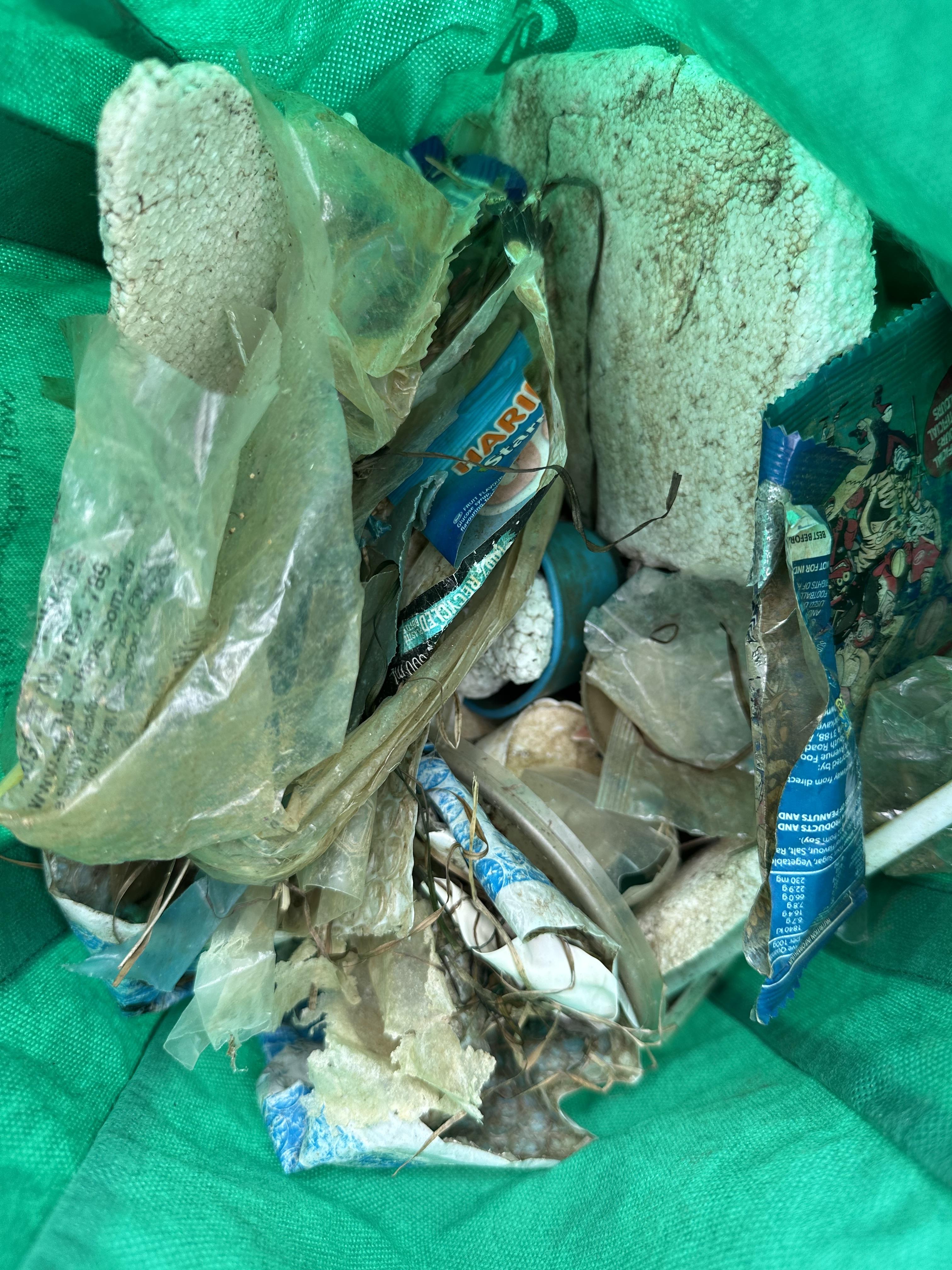
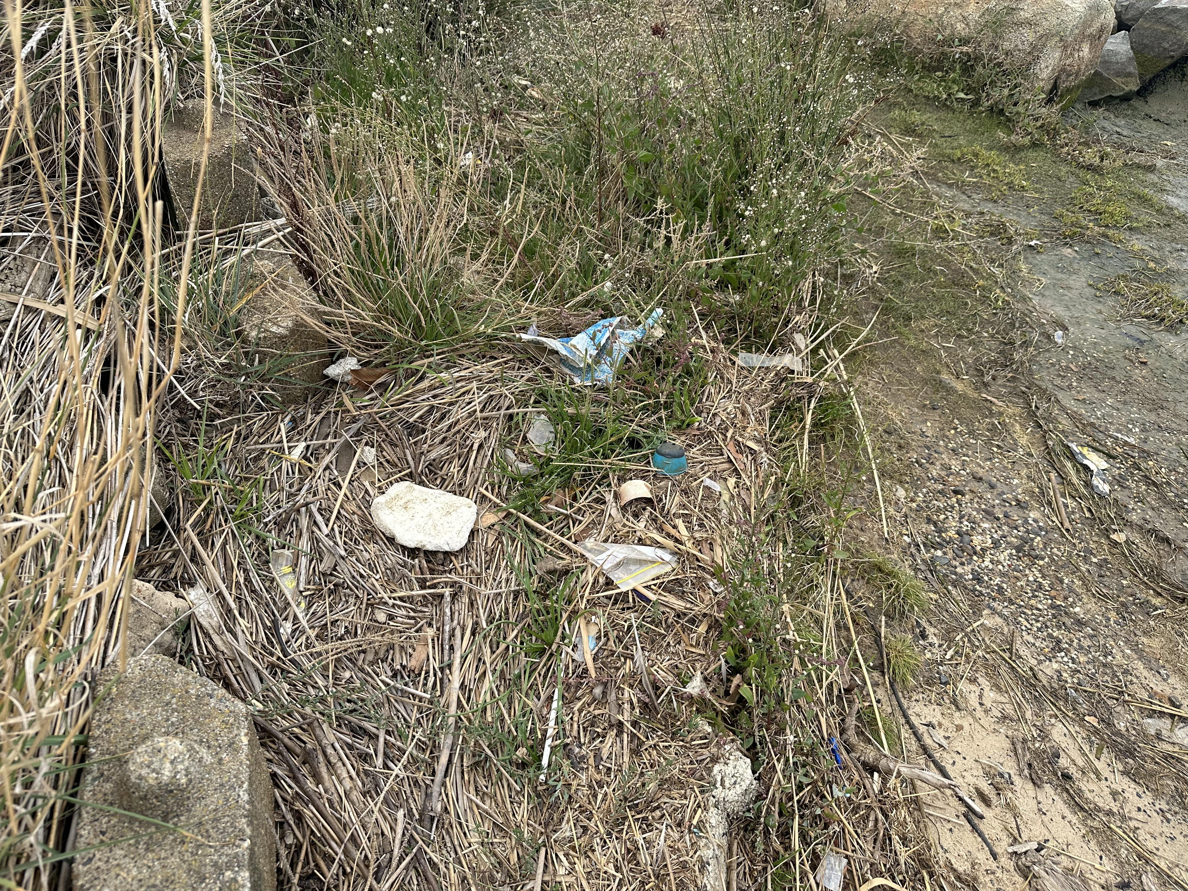
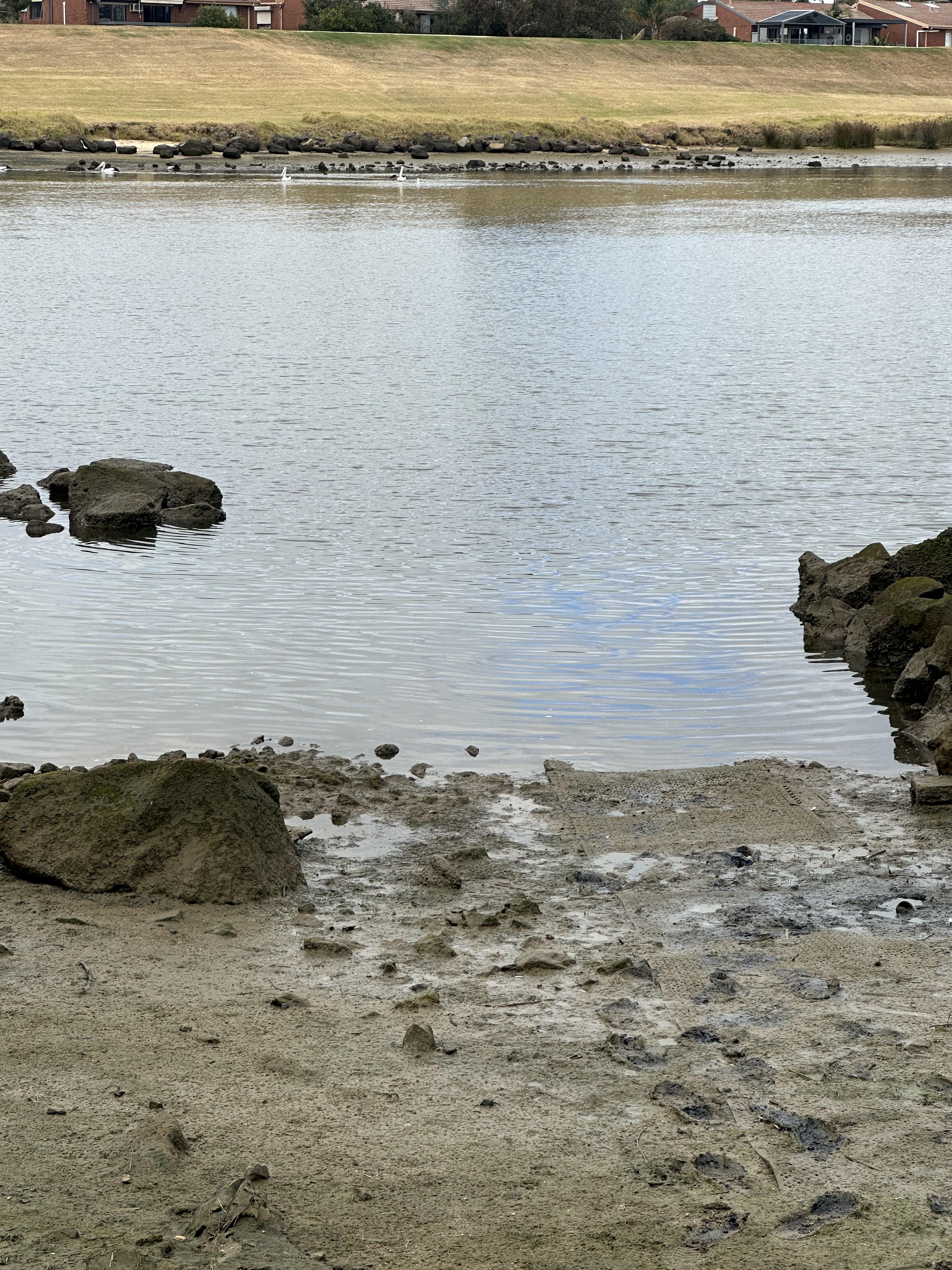
Habitat
| Date | Comment | Bank Erosion Stability | Bank Vegetation | In Stream Cover | Riffles Pools Bends | Verge Vegetation | Overall |
|---|---|---|---|---|---|---|---|
| 22-02-2024 | Good 4 | Fair 6 | Fair 6 | Fair 3 | Poor 4 | 23 | |
| 25-10-2023 | Good 4 | Fair 6 | Fair 6 | Fair 3 | Fair 6 | 25 | |
| 23-08-2023 | Excellent 5 | Fair 6 | Fair 6 | Fair 3 | VeryPoor 2 | 22 | |
| 14-06-2023 | Excellent 5 | Fair 6 | Fair 6 | Fair 3 | VeryPoor 2 | 22 |

All content, files, data and images provided by the Waterwatch Data Portal and Gallery are subject to a Creative Commons Attribution License
Content is made available to be used in any way, and should always attribute Waterwatch and www.vic.waterwatch.org.au
.png)