Waterwatch Data Portal
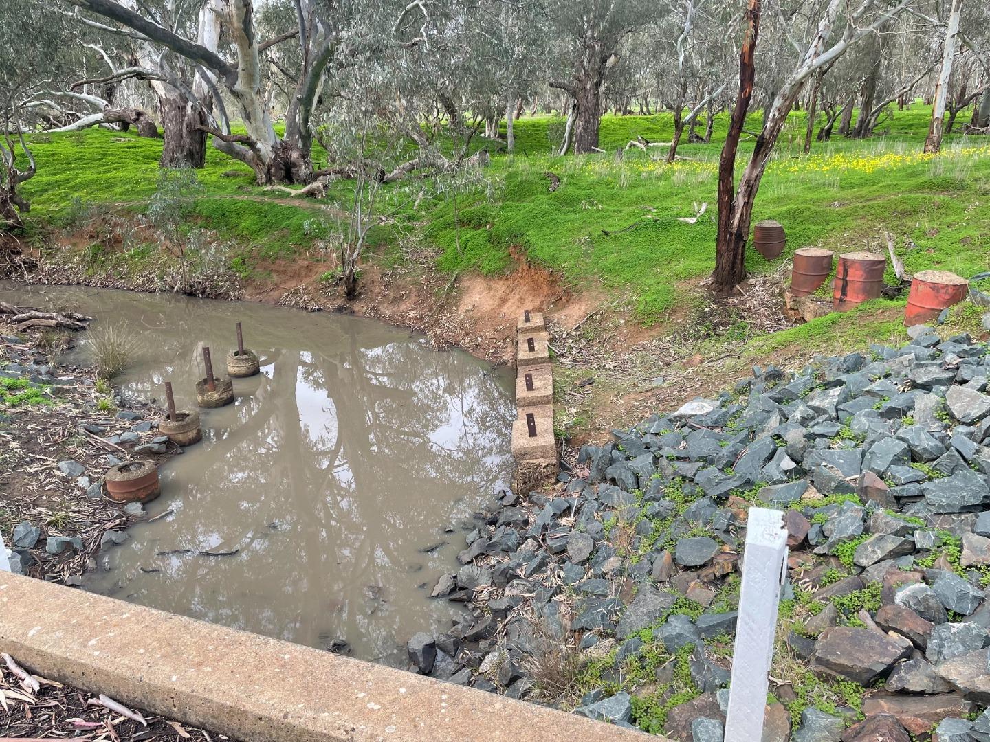
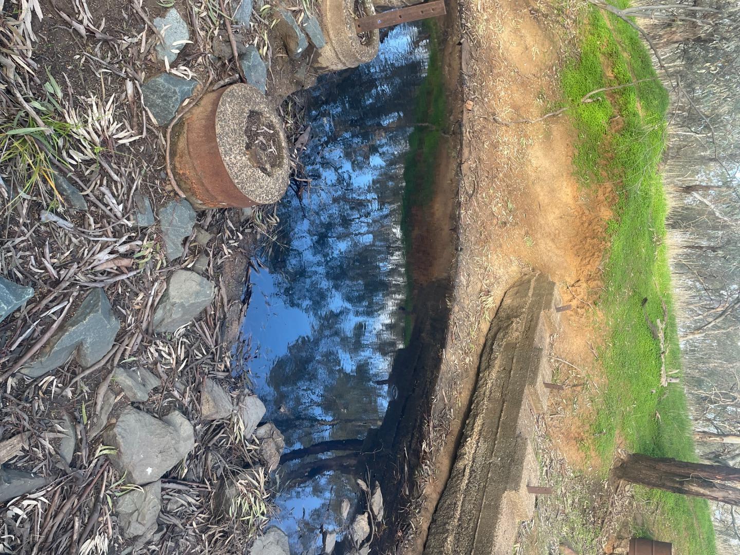
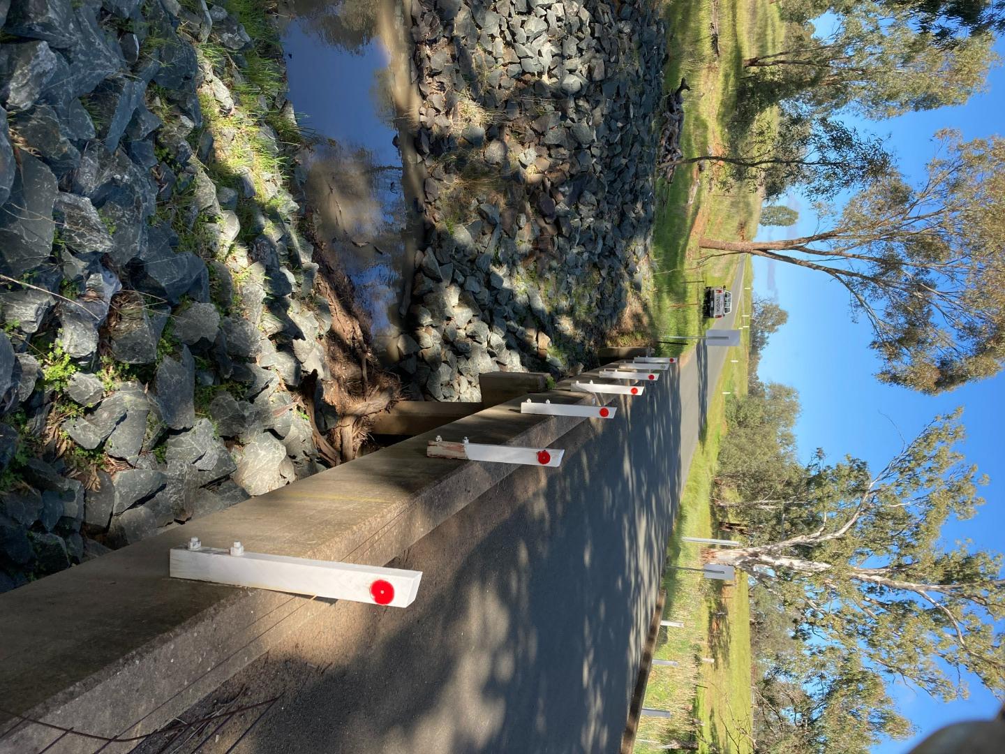
NC_MOU990 Mount Pleasant Creek, River Road Runnymede
Site details
Overview
| Site code | NC_MOU990 |
|---|---|
| Site name | Mount Pleasant Creek, River Road Runnymede |
| Status | Active |
| Water Authority | North Central |
| Basin | Campaspe River |
| Catchment | Campaspe River |
| Sub catchment | Forest Creek |
| Reach | 6_4 Campaspe River |
| Water type | Creek |
| Council | |
| History | View all 10 site visits 23-08-2021 - 24-06-2022 |
| Monitoring organisations |
|
Site visits
 Loading chart
| Date | EC µS/cm | pH pH Units | rP mg/L P | Air ° C | Water ° C | Turb NTU |
|---|---|---|---|---|---|---|
| 19-05-2022 | 112.4 | 7.3 | 12.5 | 12.9 | 60.15 | |
| 24-06-2022 | 92.7 | 7.1 | 0.01 | 14 | 11.4 | 150.81 |
Habitat
| Date | Comment | Bank Erosion Stability | Bank Vegetation | In Stream Cover | Riffles Pools Bends | Verge Vegetation | Overall |
|---|---|---|---|---|---|---|---|
| 21-03-2022 | Poor 2 | Poor 4 | Fair 6 | N/A | Poor 4 | 16 | |
| 09-09-2021 | Poor 2 | Poor 4 | Poor 4 | VeryPoor 1 | Poor 4 | 15 |

All content, files, data and images provided by the Waterwatch Data Portal and Gallery are subject to a Creative Commons Attribution License
Content is made available to be used in any way, and should always attribute Waterwatch and www.vic.waterwatch.org.au
.png)