Waterwatch Data Portal
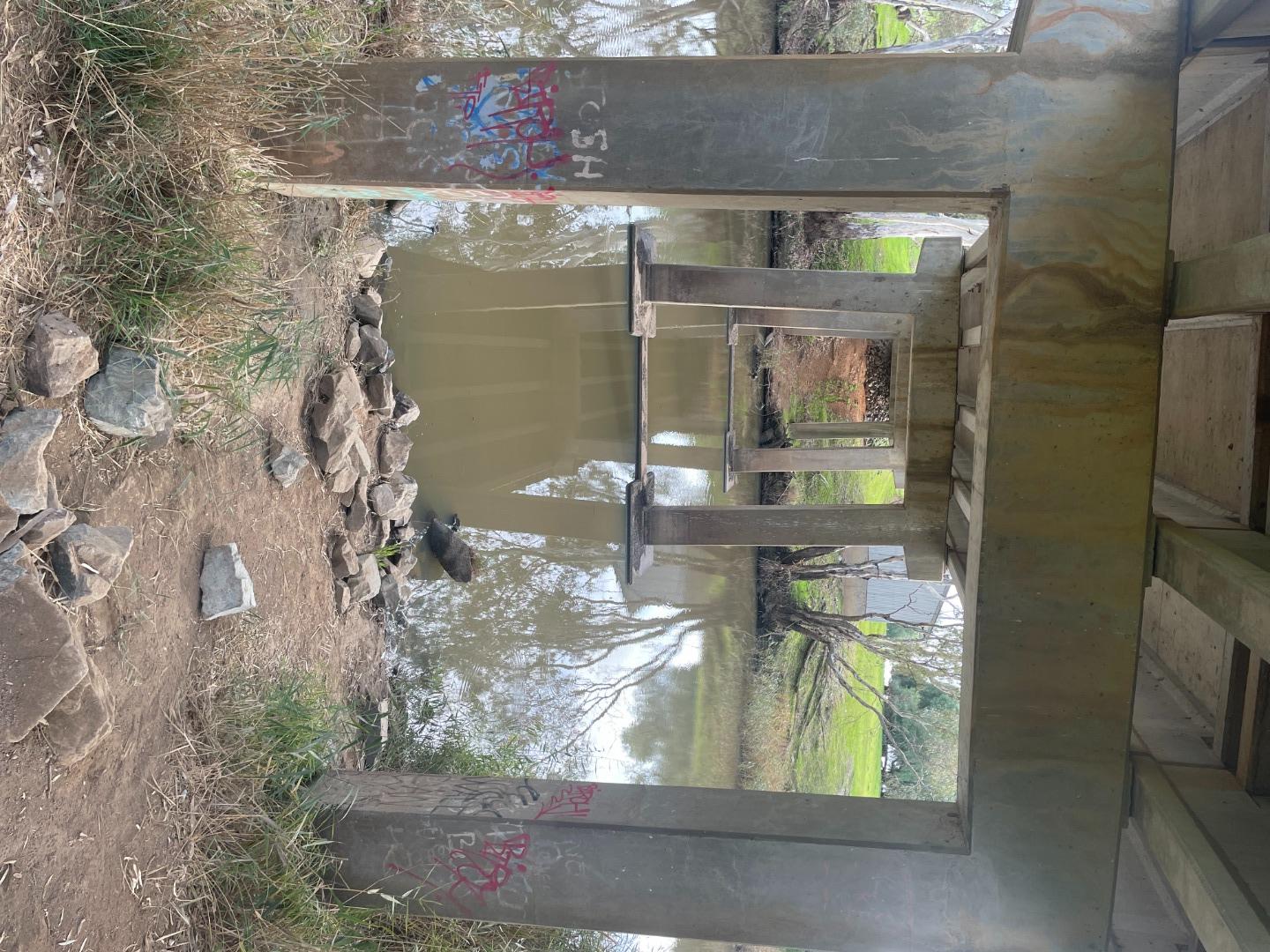
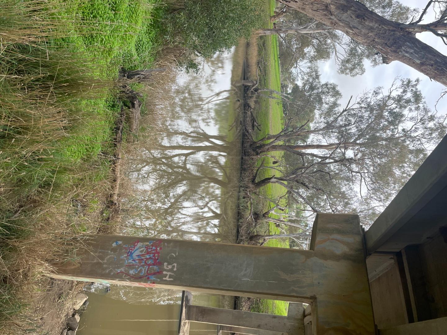
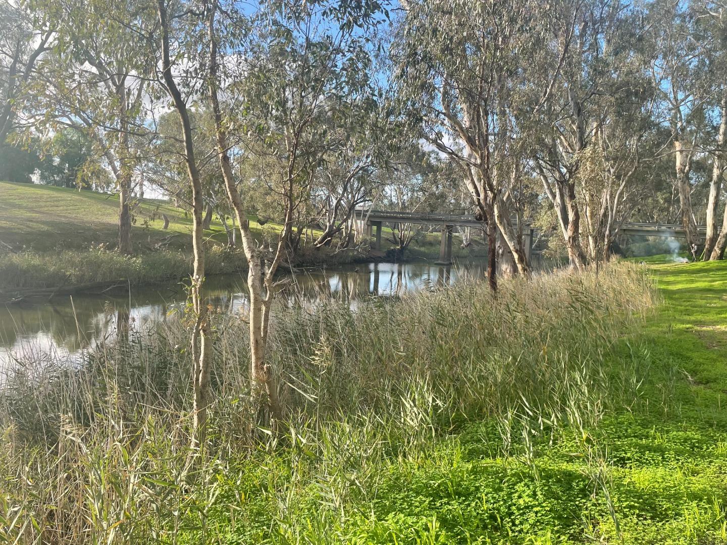
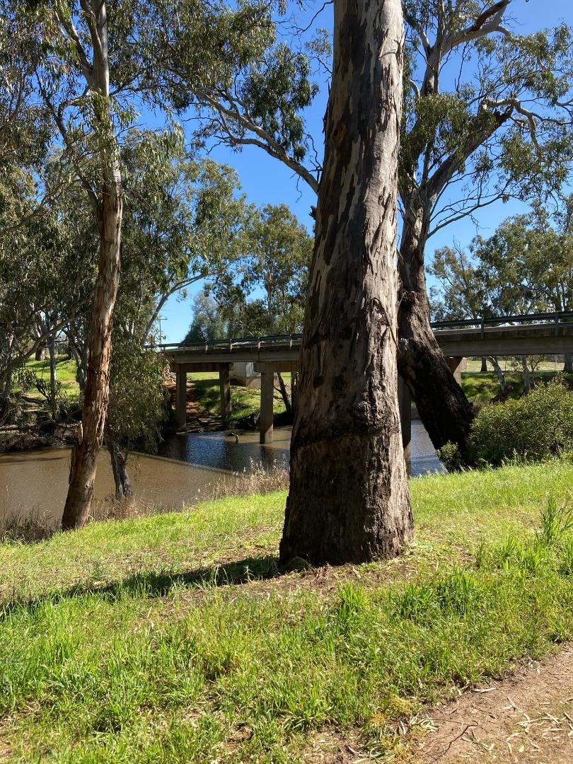
NC_CAM546 Campaspe River, Barnadown streamside reserve (south east of Barndadown-Knowsley Rd)
Site details
Overview
| Site code | NC_CAM546 |
|---|---|
| Site name | Campaspe River, Barnadown streamside reserve (south east of Barndadown-Knowsley Rd) |
| Status | Active |
| Water Authority | North Central |
| Basin | Campaspe River |
| Catchment | Campaspe River |
| Sub catchment | Campaspe River |
| Reach | 6_10 Forest Creek |
| Water type | River |
| Council | |
| History | View all 9 site visits 09-09-2021 - 24-06-2022 |
| Monitoring organisations |
|
Site visits
 Loading chart
| Date | EC µS/cm | pH pH Units | rP mg/L P | Air ° C | Water ° C | Turb NTU |
|---|---|---|---|---|---|---|
| 19-05-2022 | 548 | 7.1 | 0.01 | 12 | 12.7 | 2.26 |
| 24-06-2022 | 544 | 7.2 | 0.01 | 14 | 10.7 | 19.4 |
Habitat
| Date | Comment | Bank Erosion Stability | Bank Vegetation | In Stream Cover | Riffles Pools Bends | Verge Vegetation | Overall |
|---|---|---|---|---|---|---|---|
| 21-03-2022 | Fair 3 | Fair 6 | Fair 6 | Fair 3 | Fair 6 | 24 | |
| 09-09-2021 | Fair 3 | Fair 6 | Poor 4 | Fair 3 | Poor 4 | 20 |

All content, files, data and images provided by the Waterwatch Data Portal and Gallery are subject to a Creative Commons Attribution License
Content is made available to be used in any way, and should always attribute Waterwatch and www.vic.waterwatch.org.au
.png)