Waterwatch Data Portal
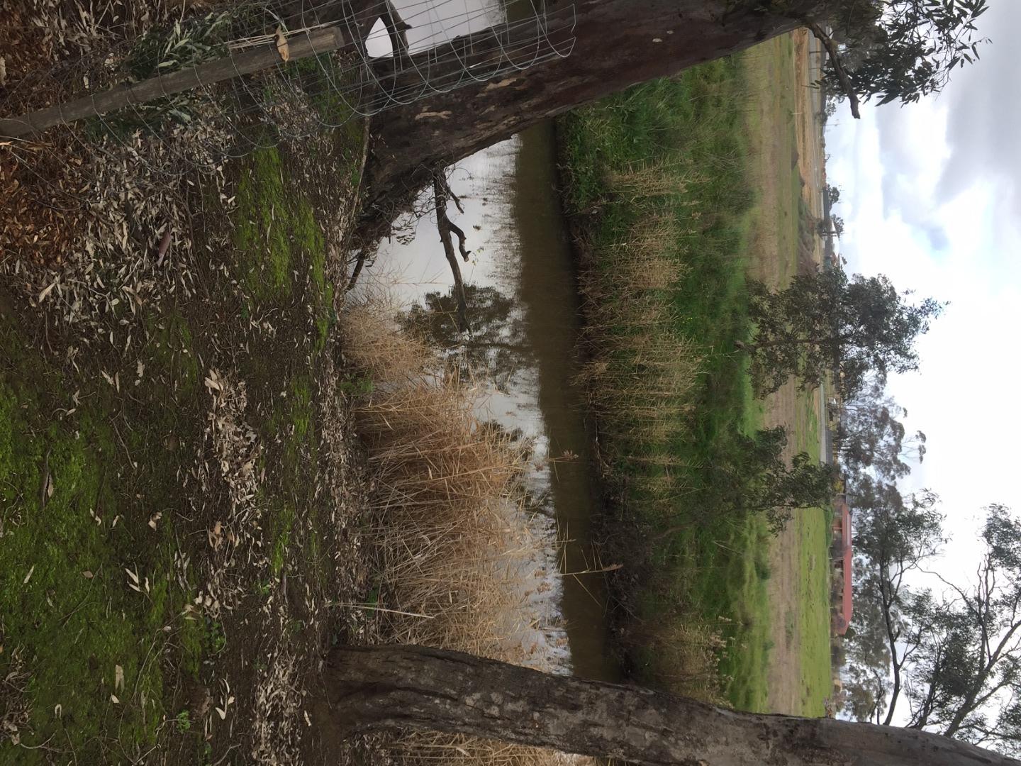
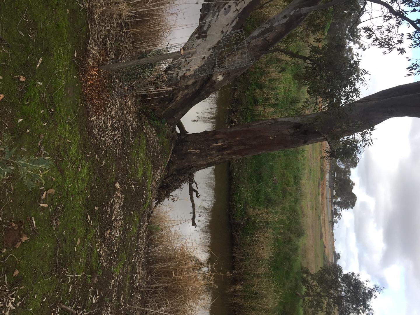
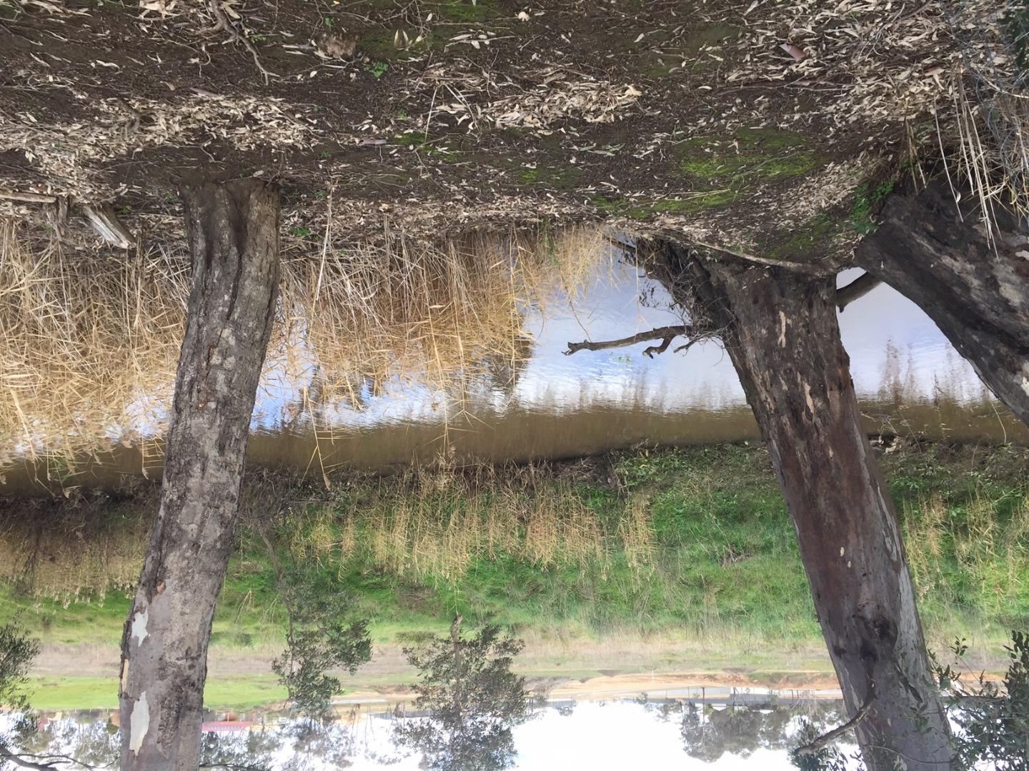
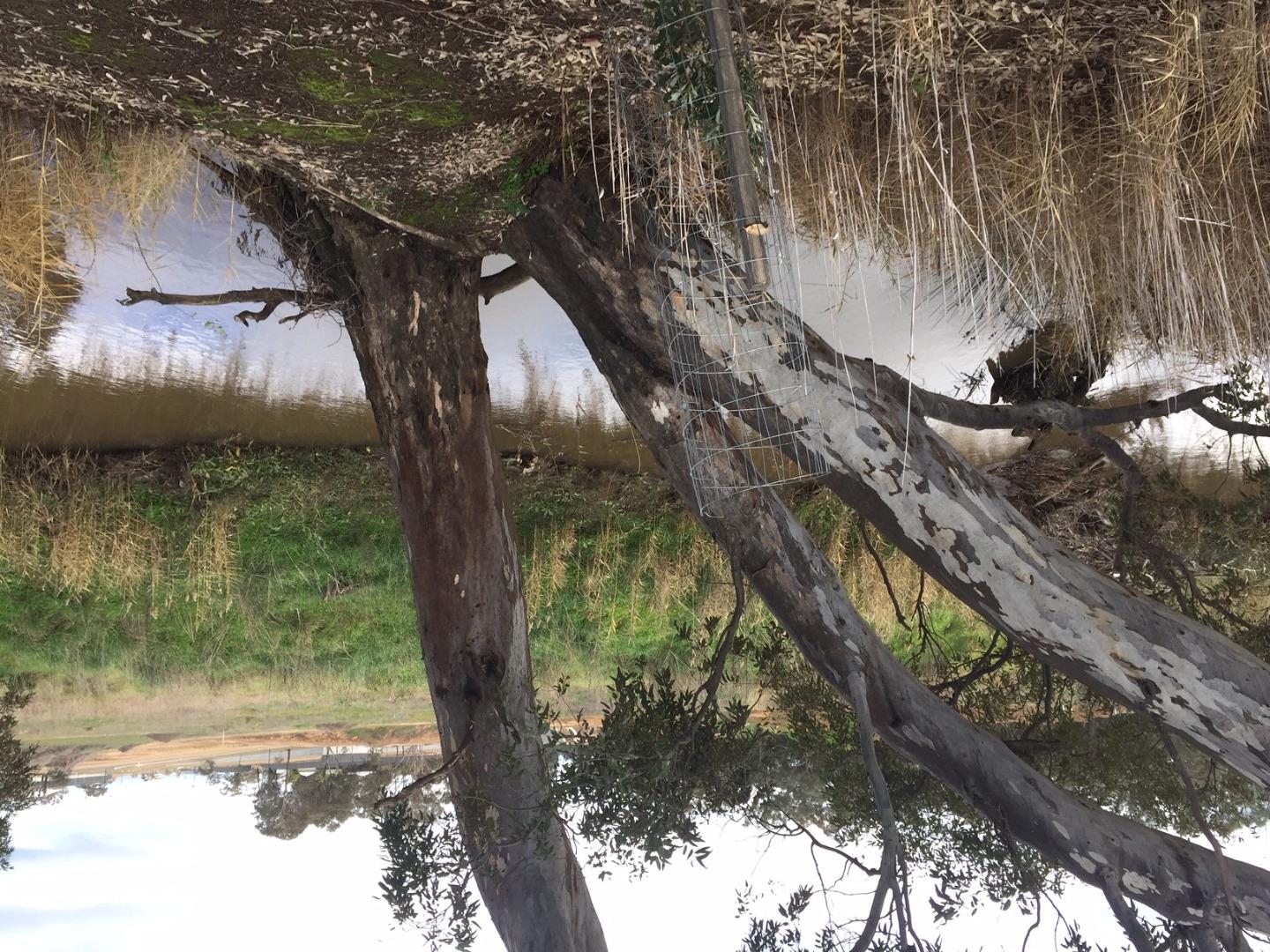
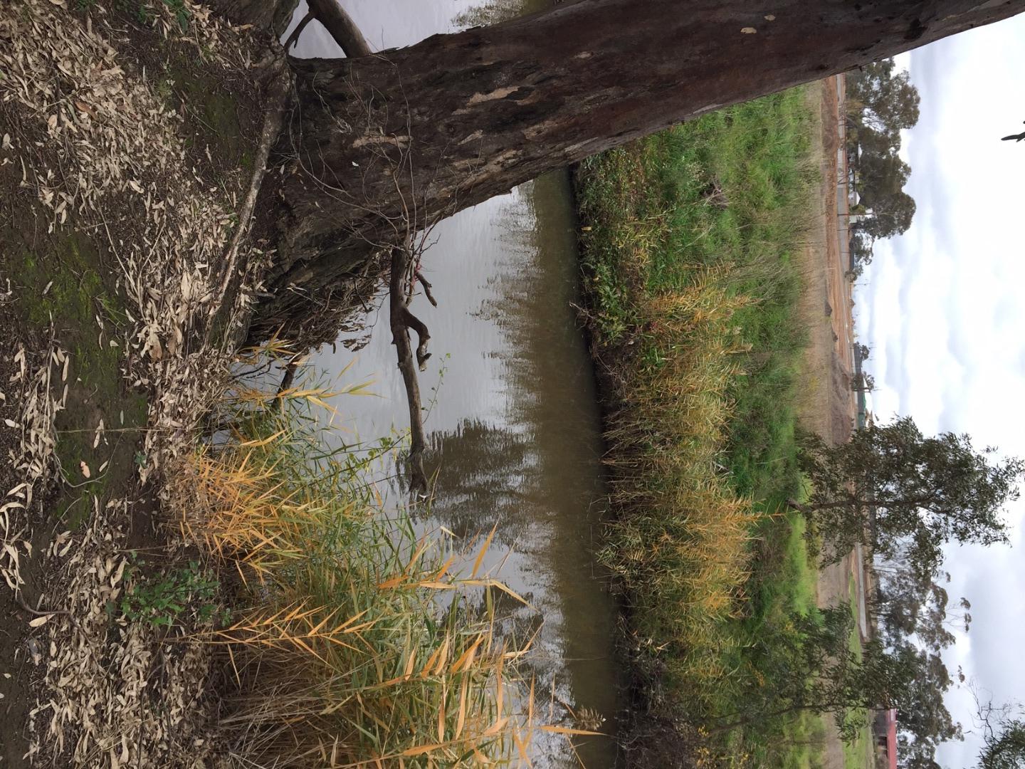
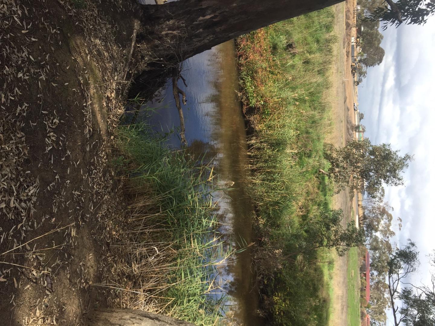
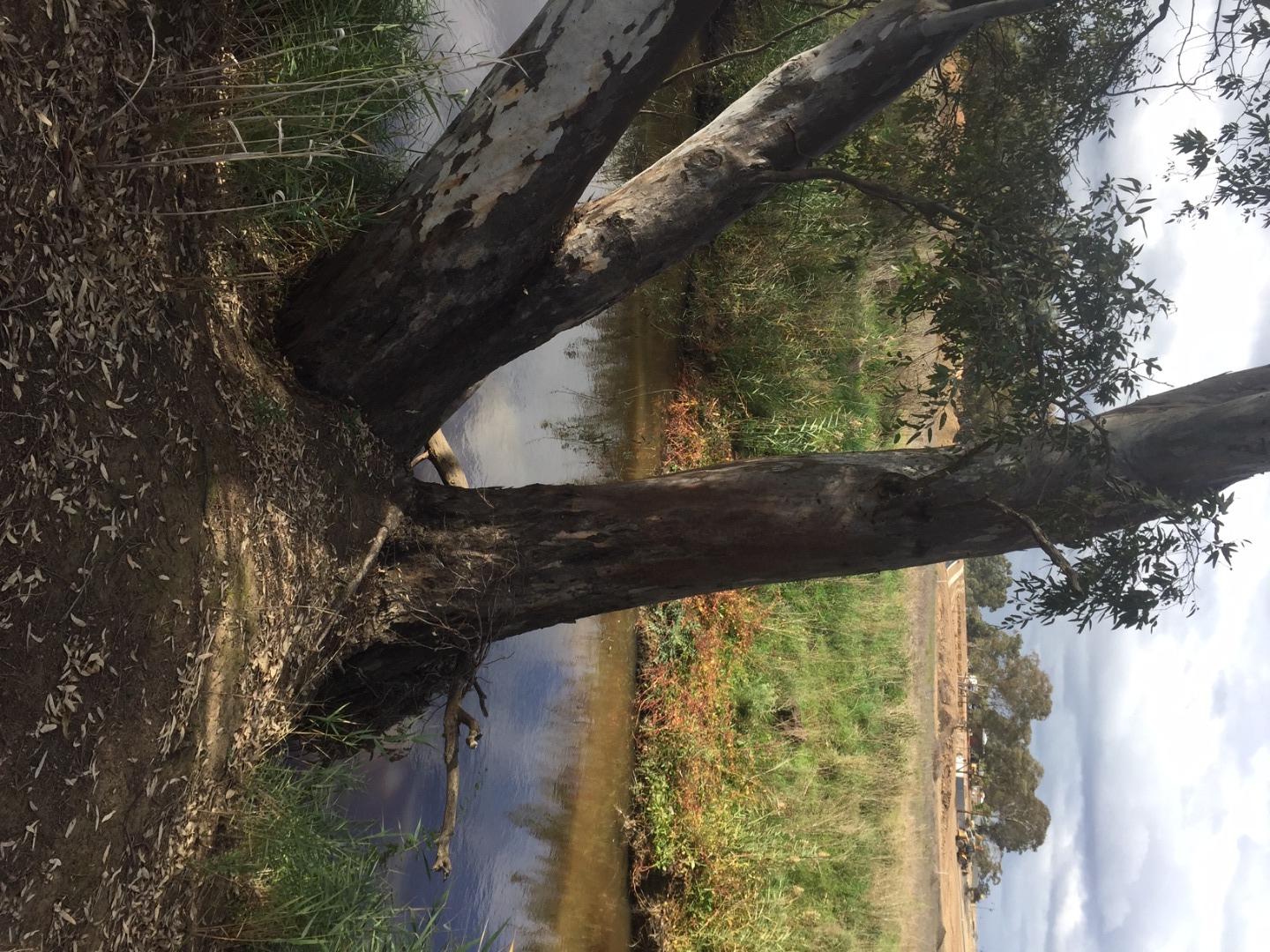
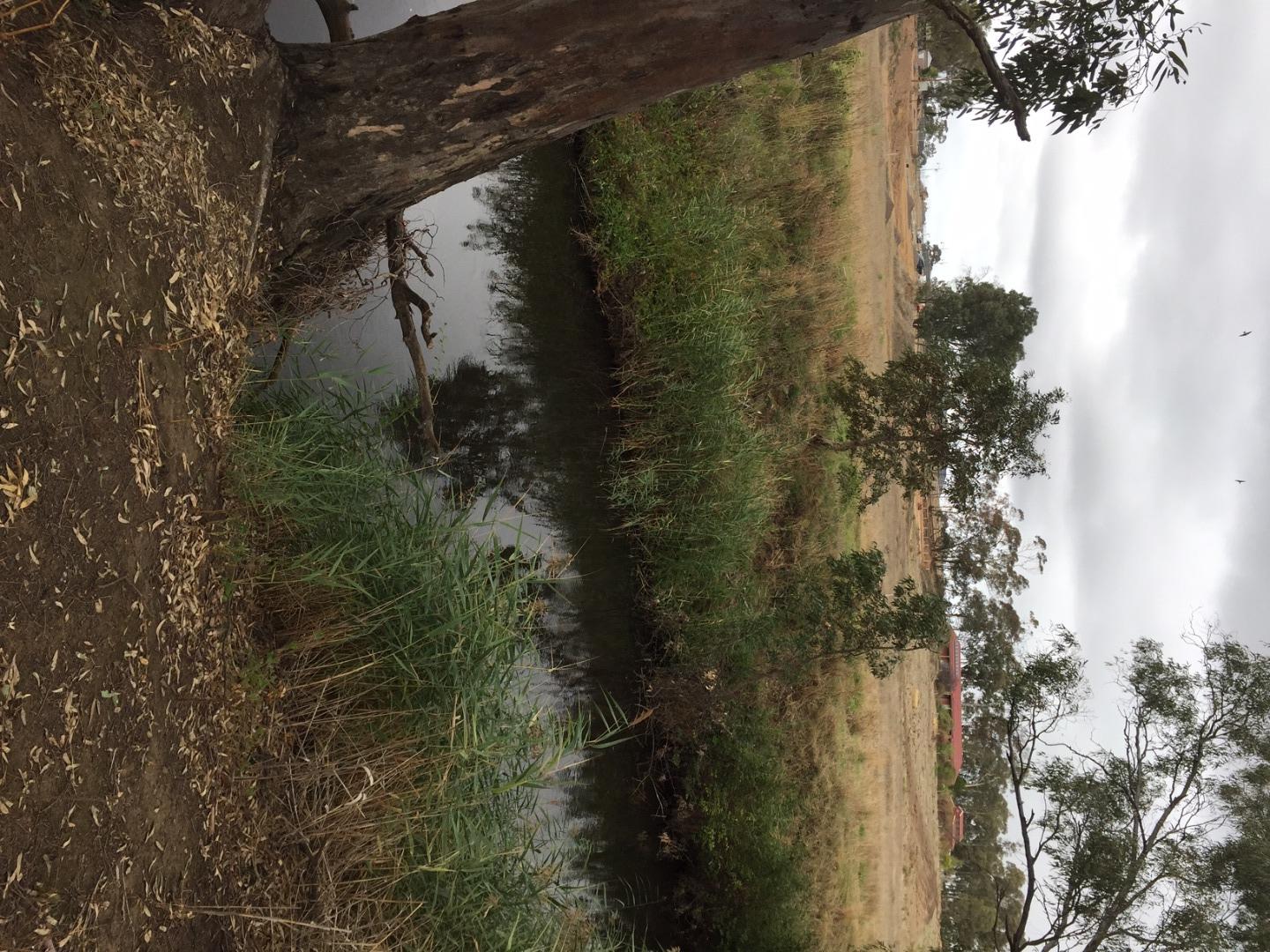
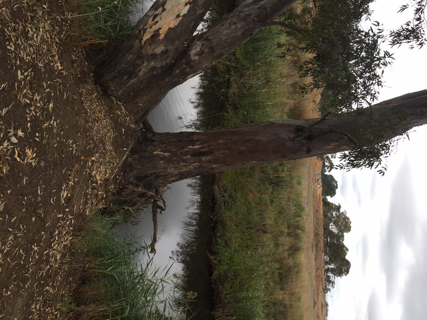
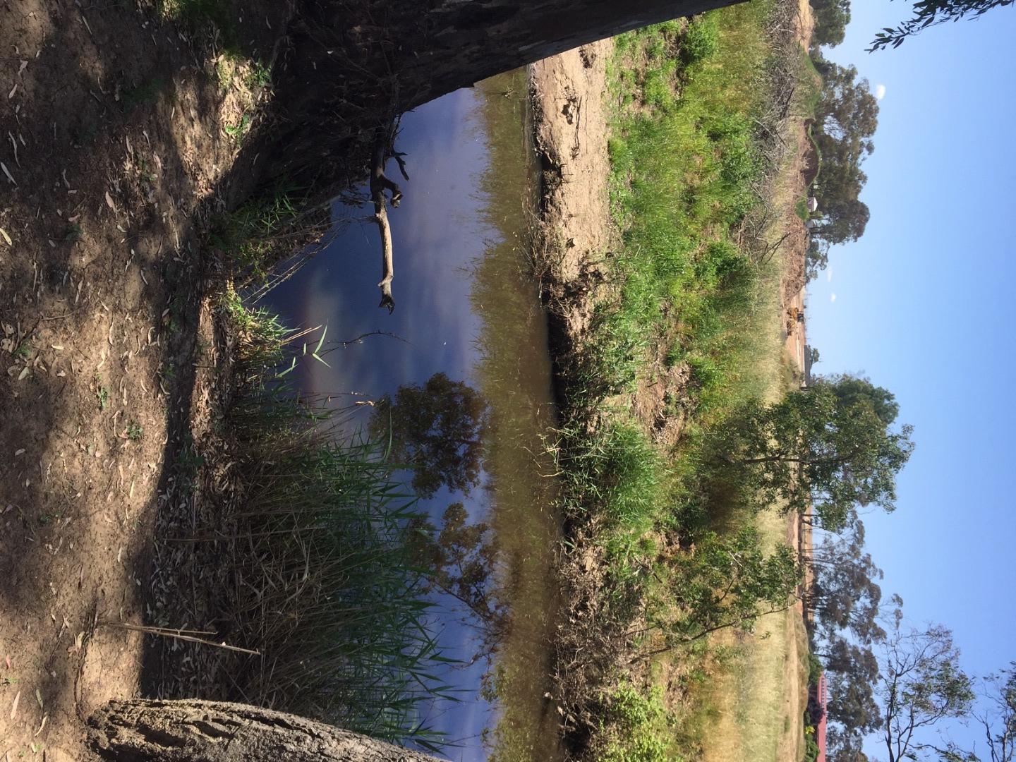
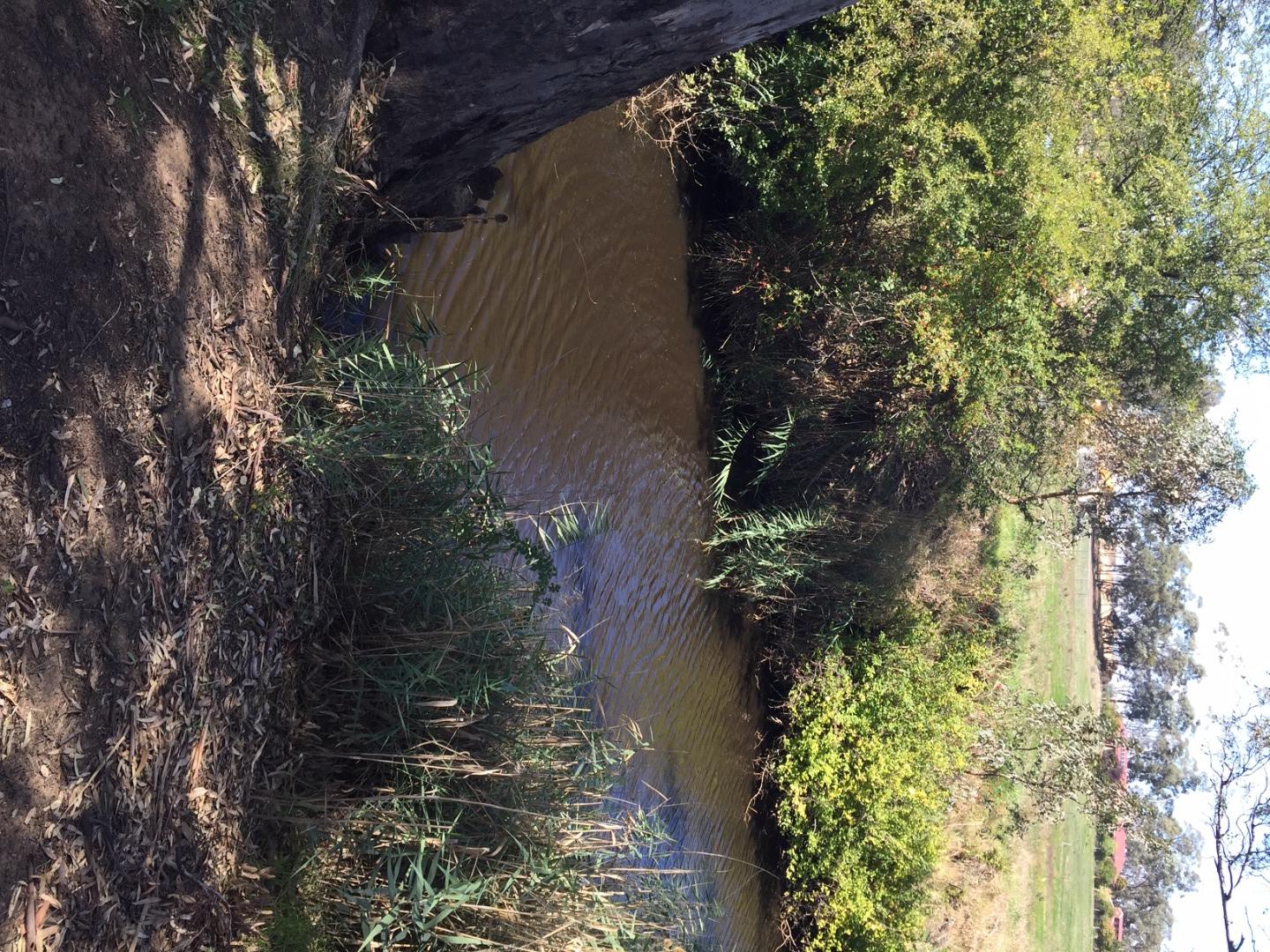
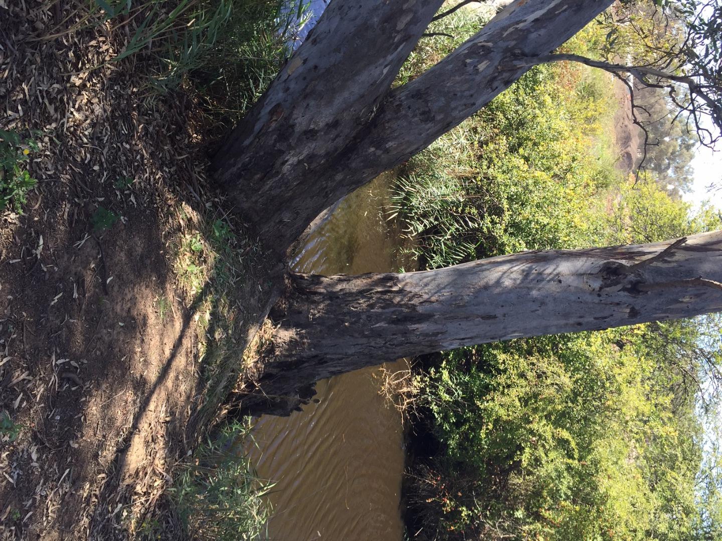
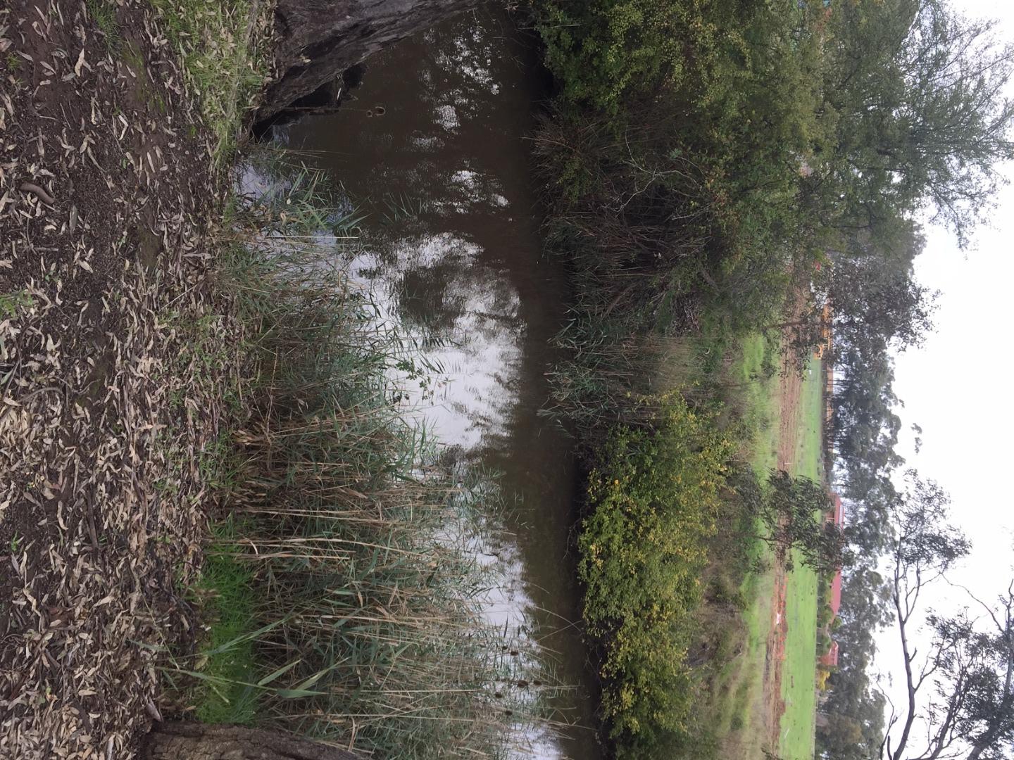
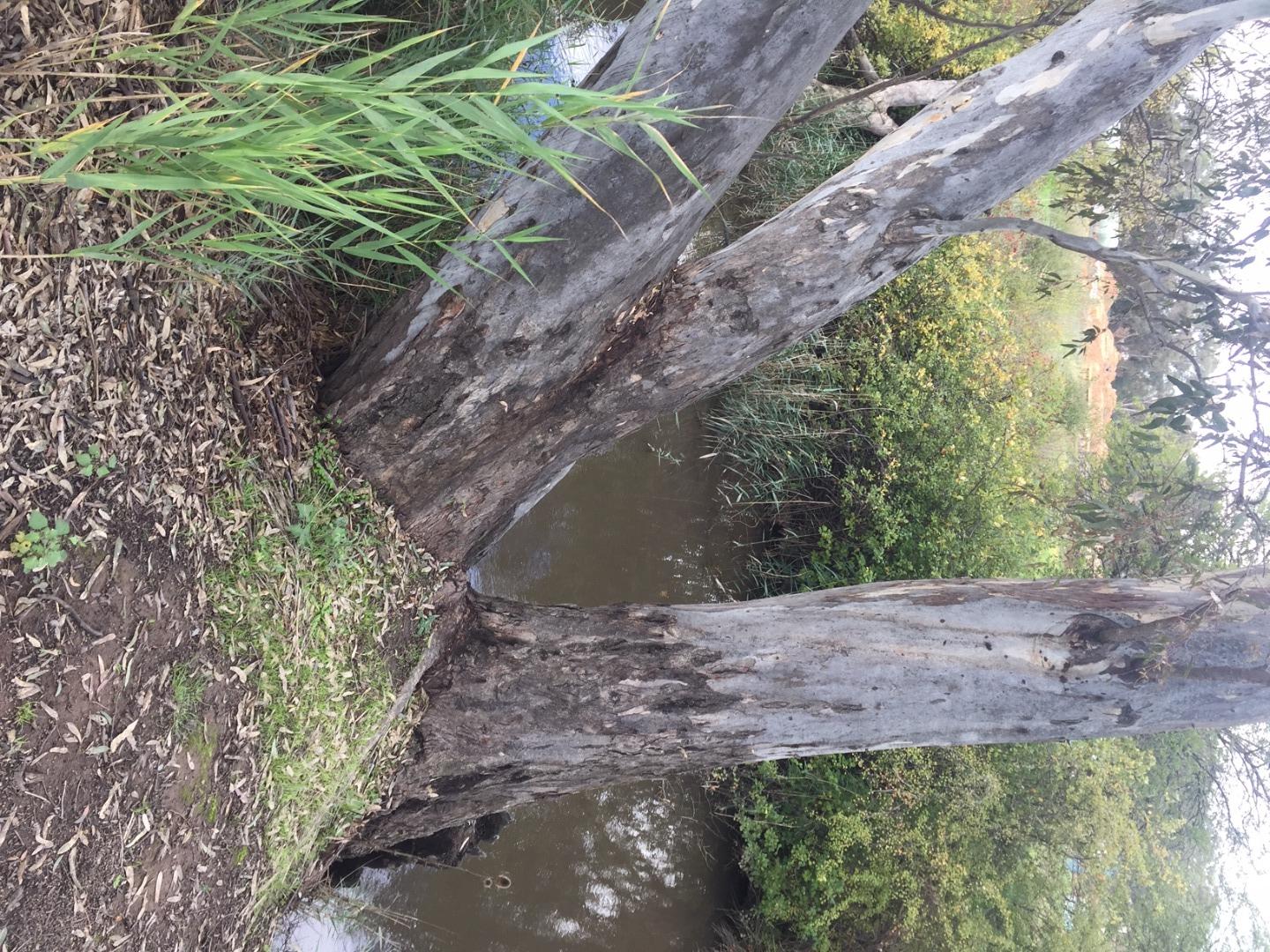
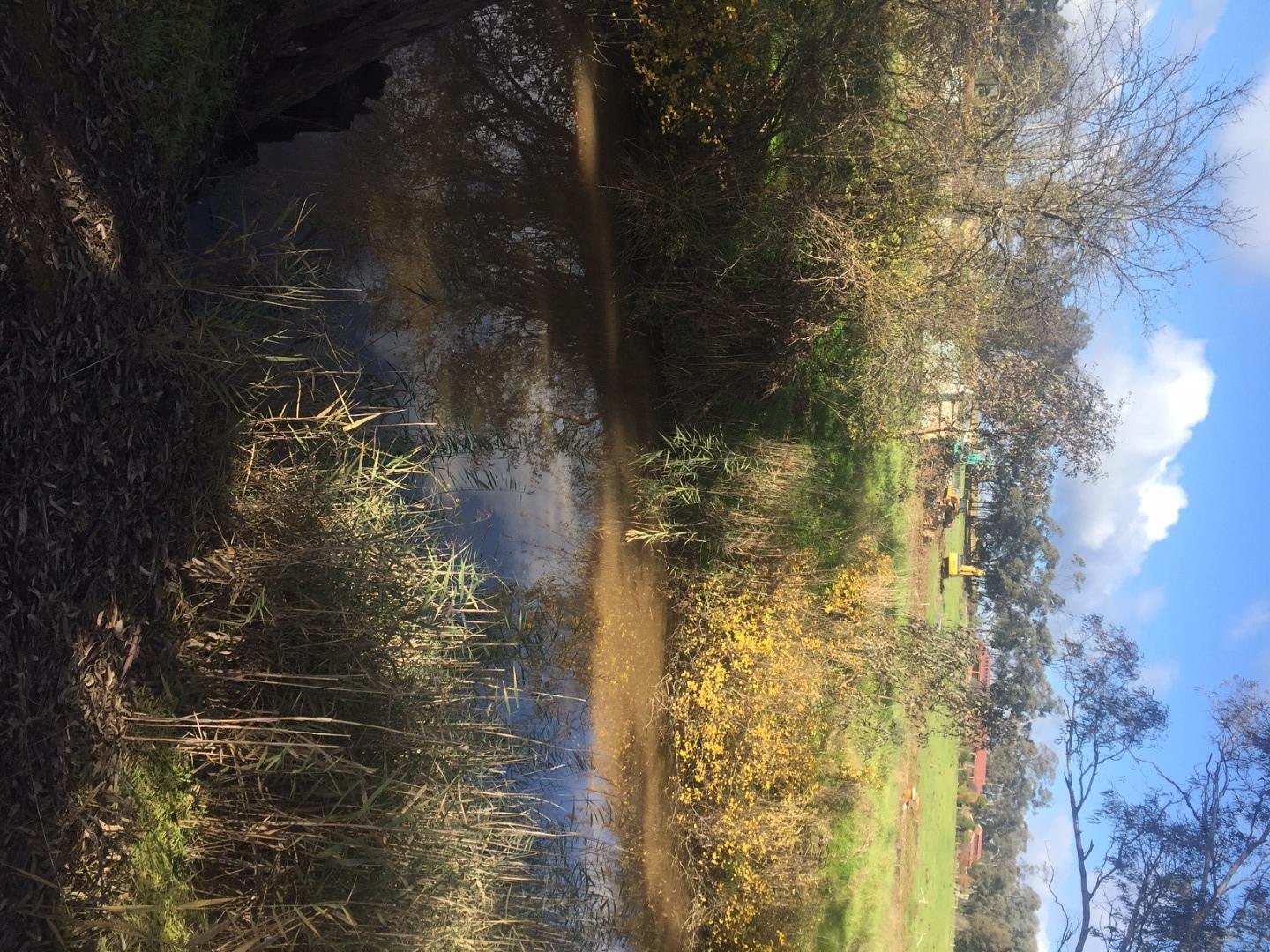
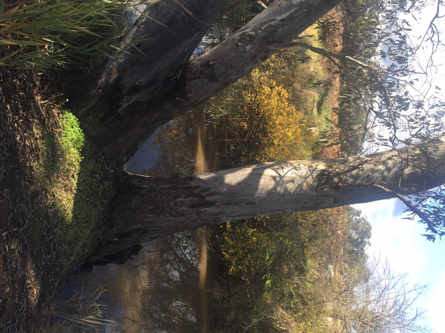
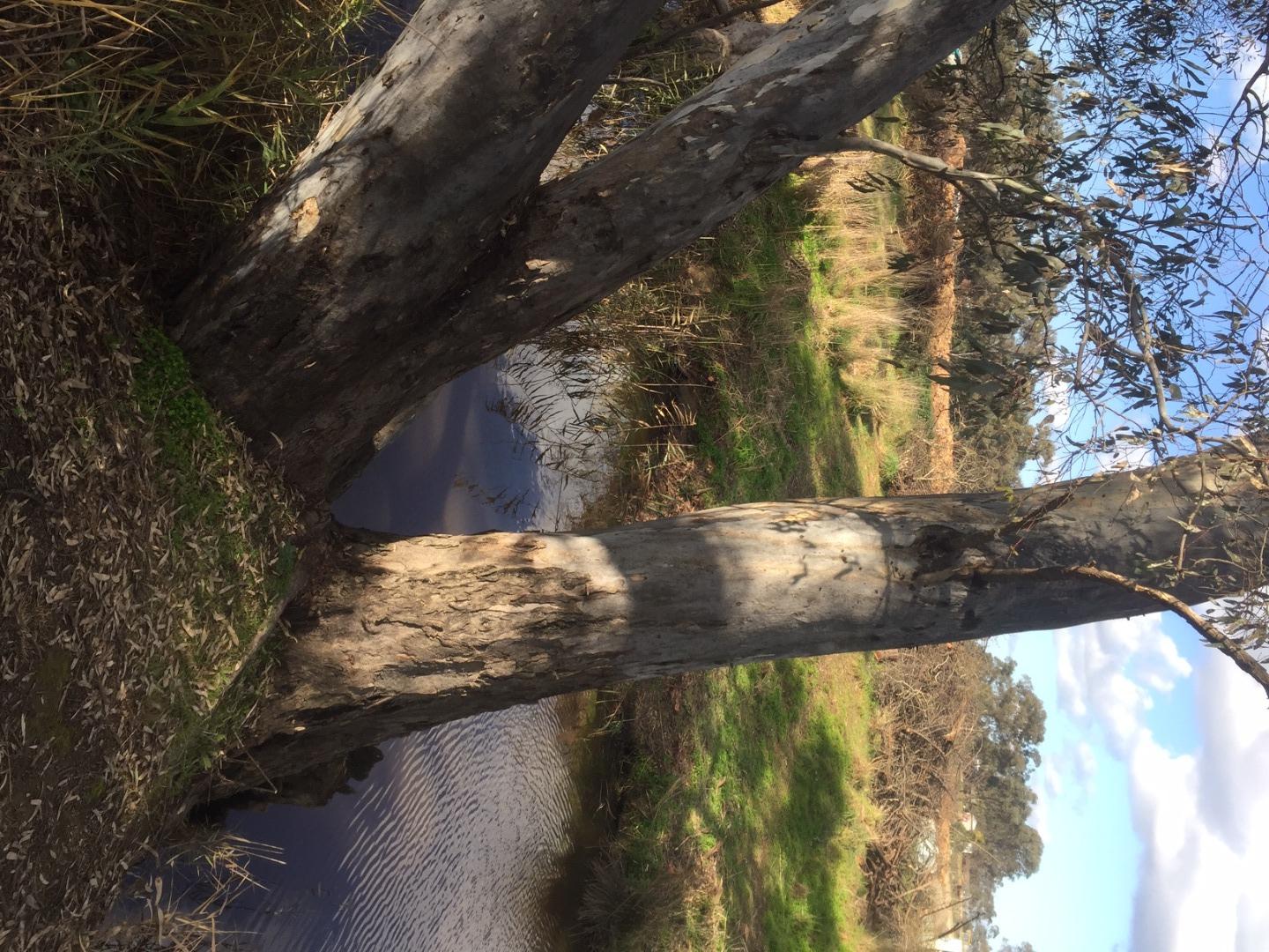
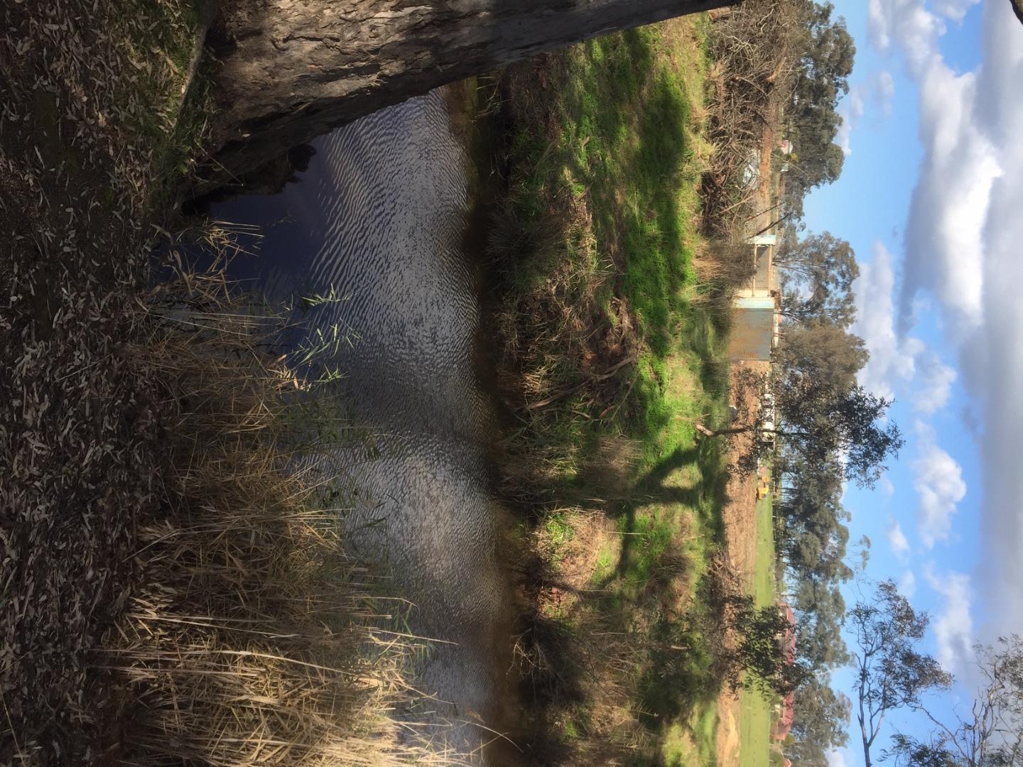
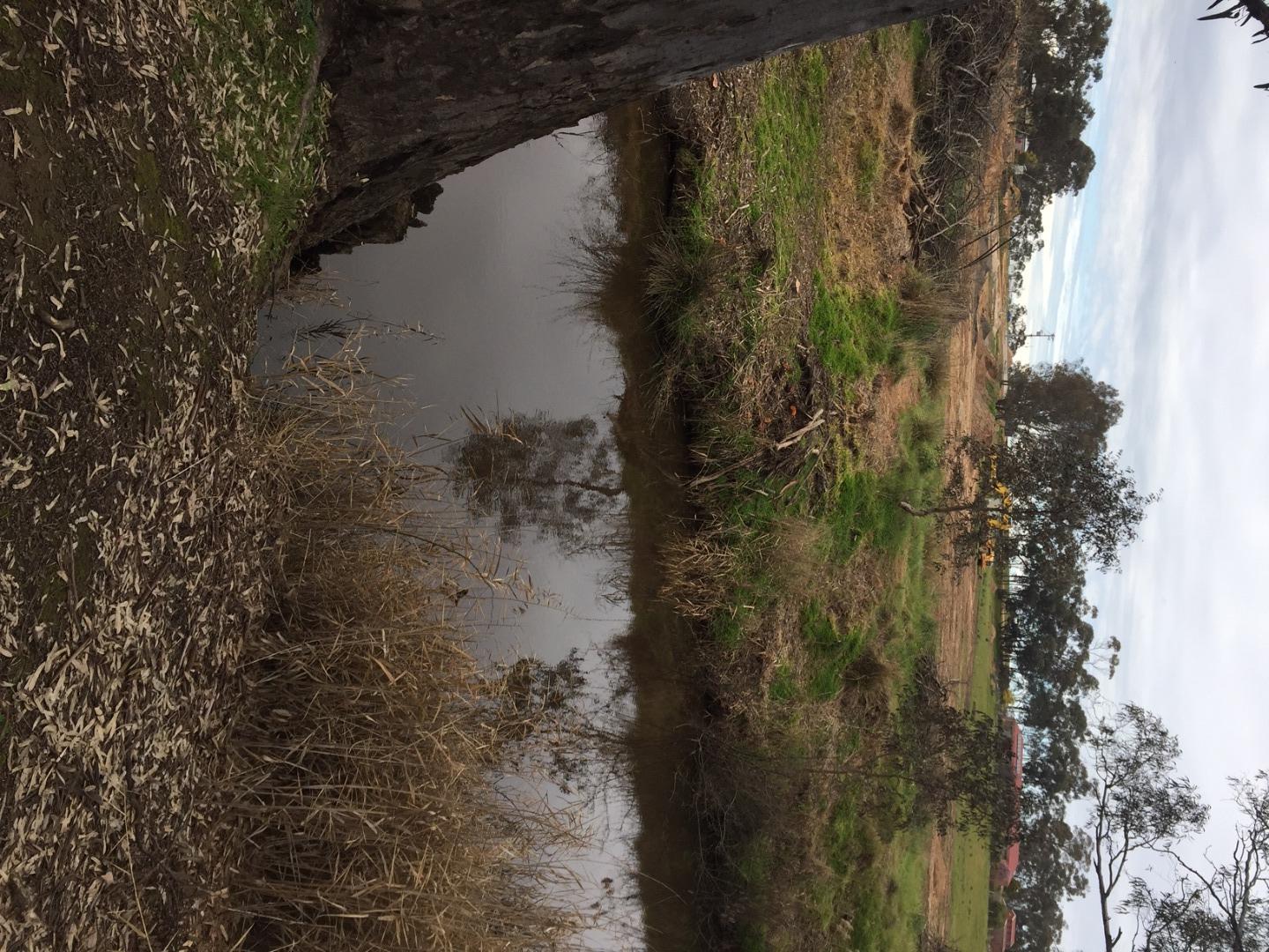
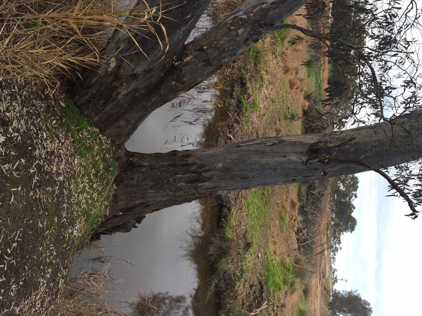
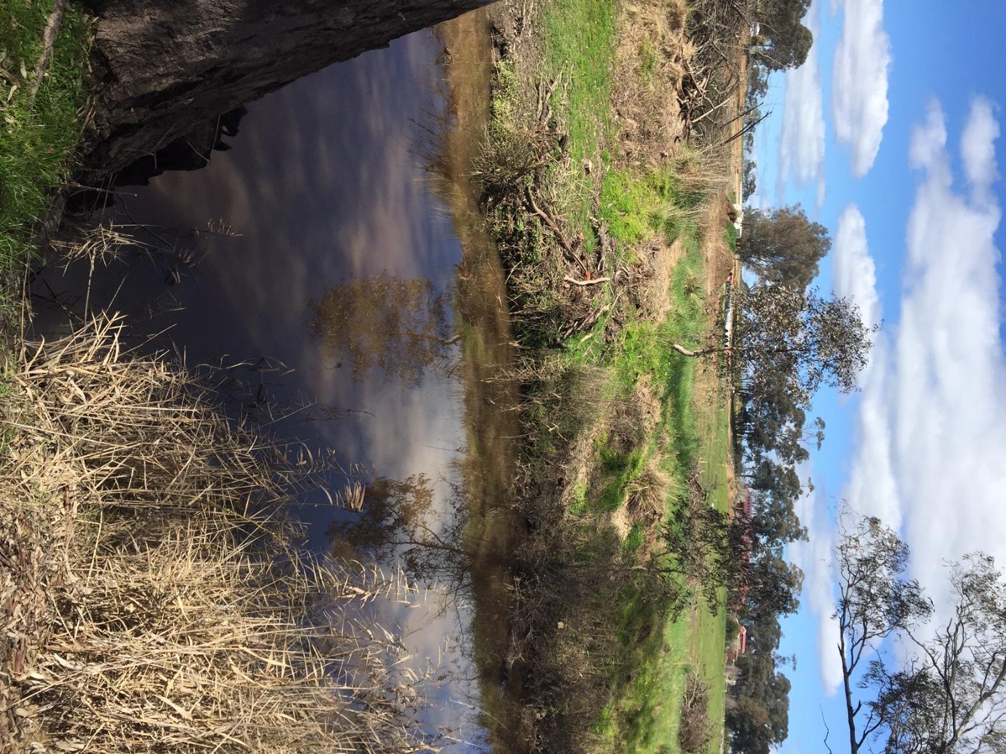
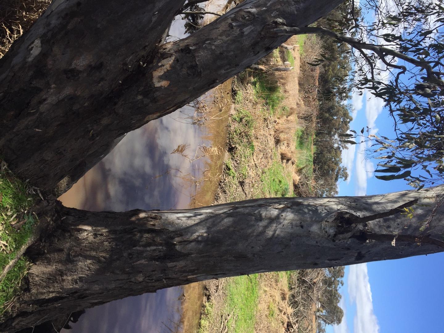
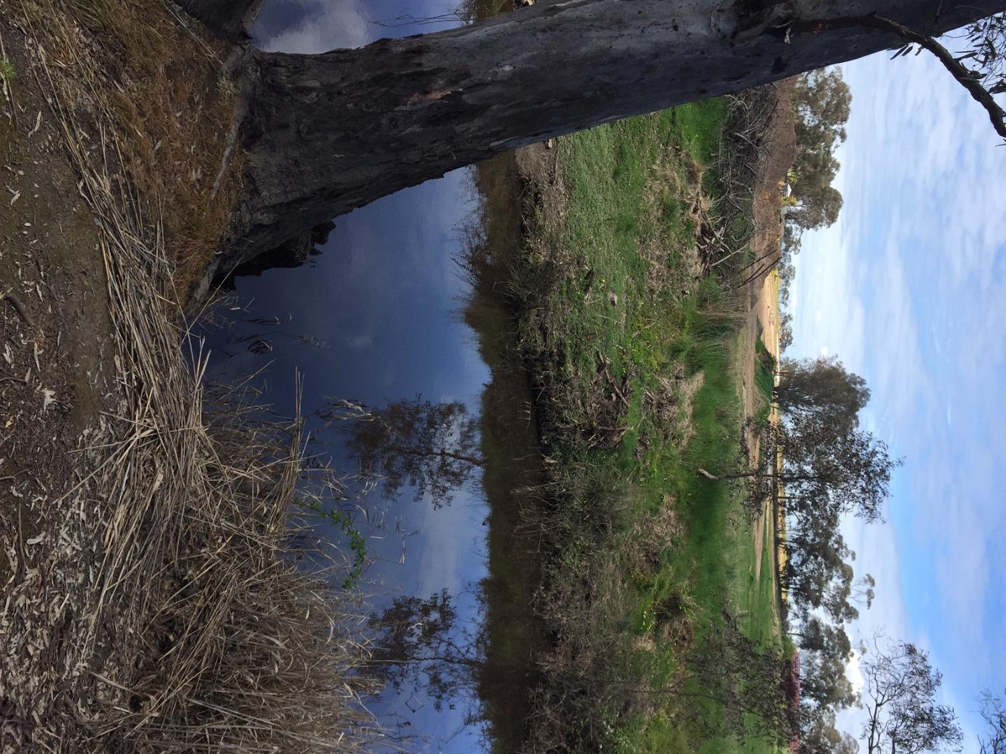
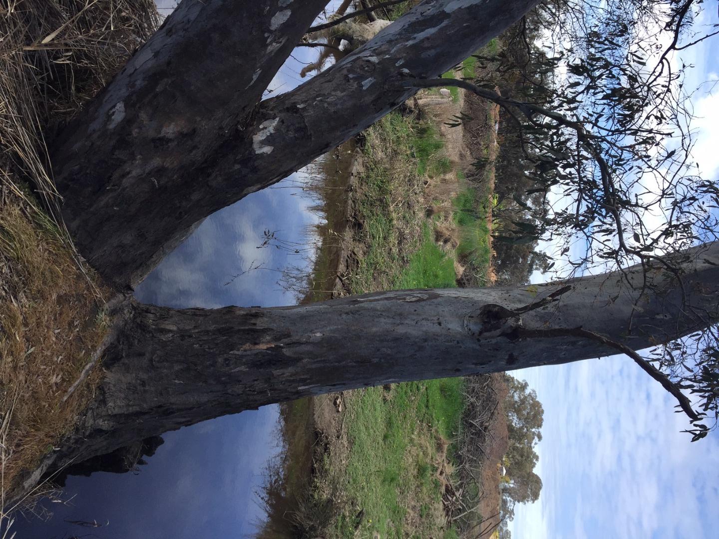
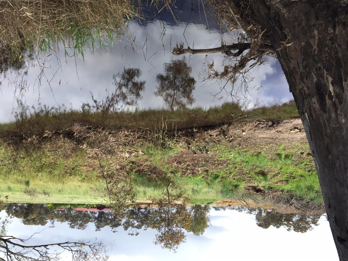
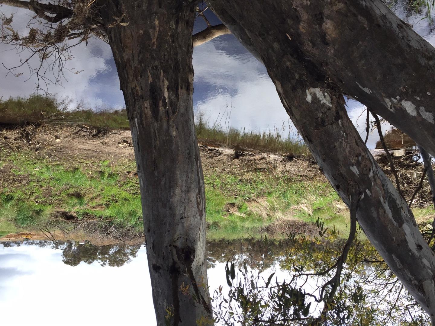
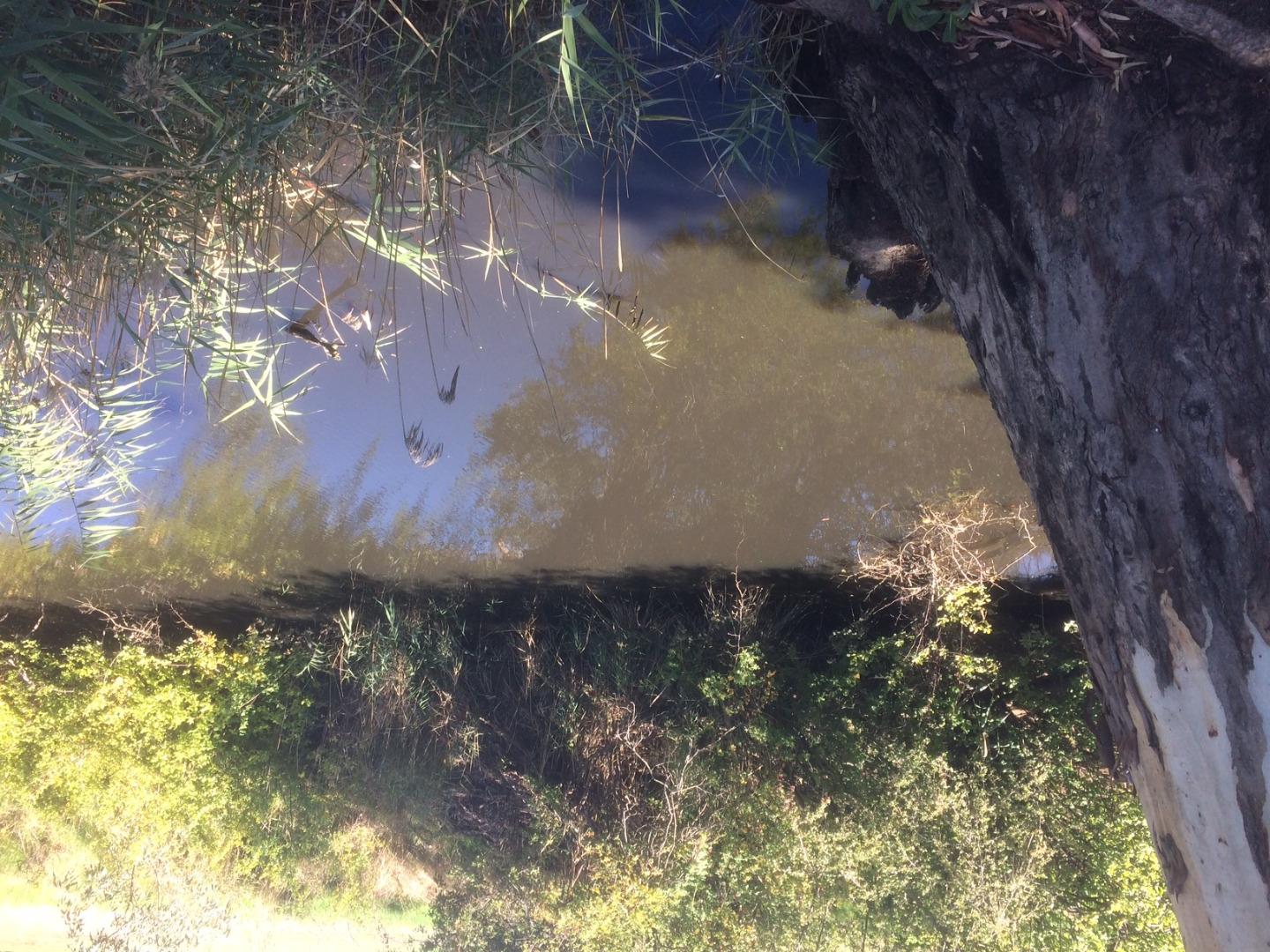
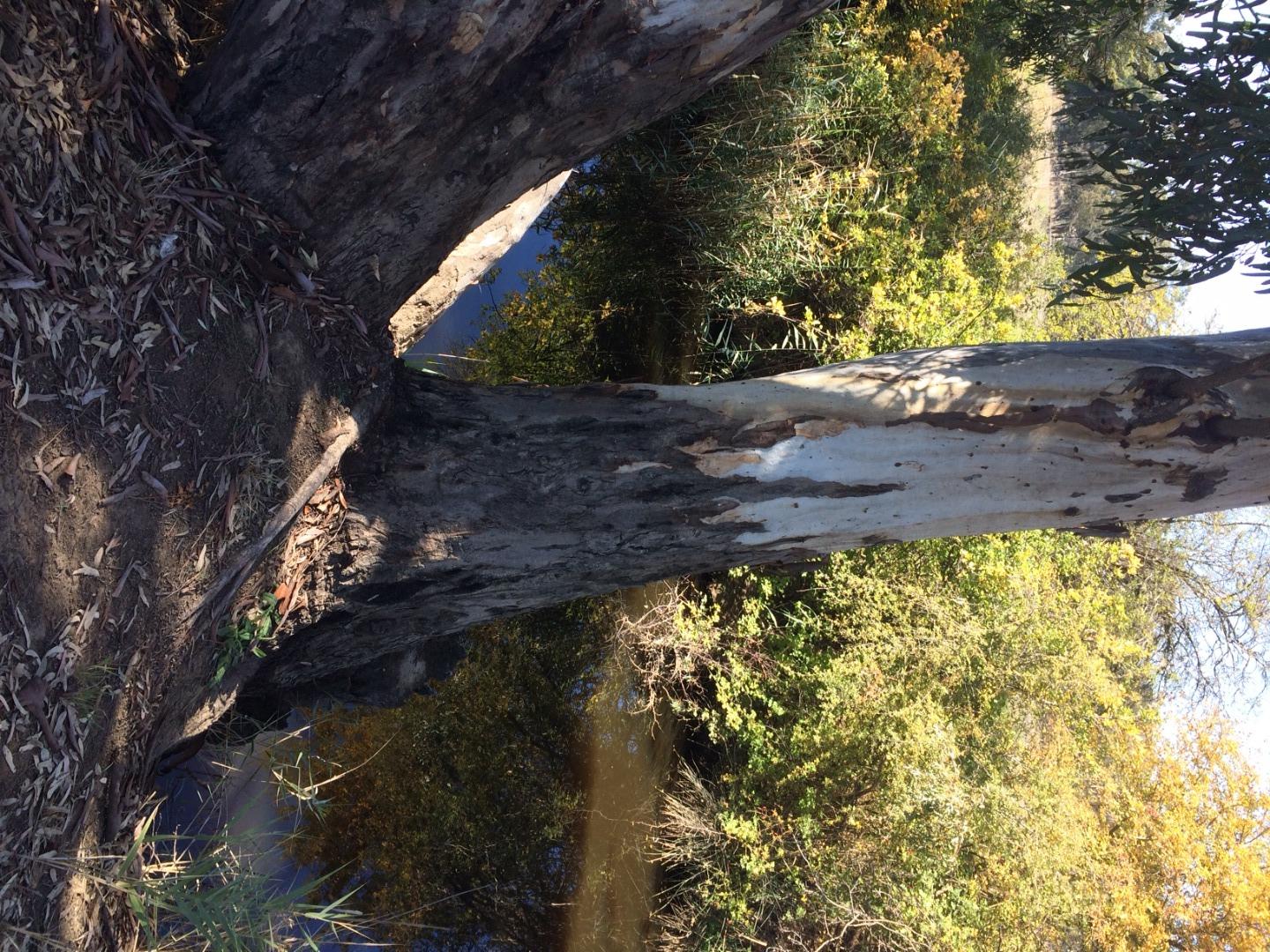
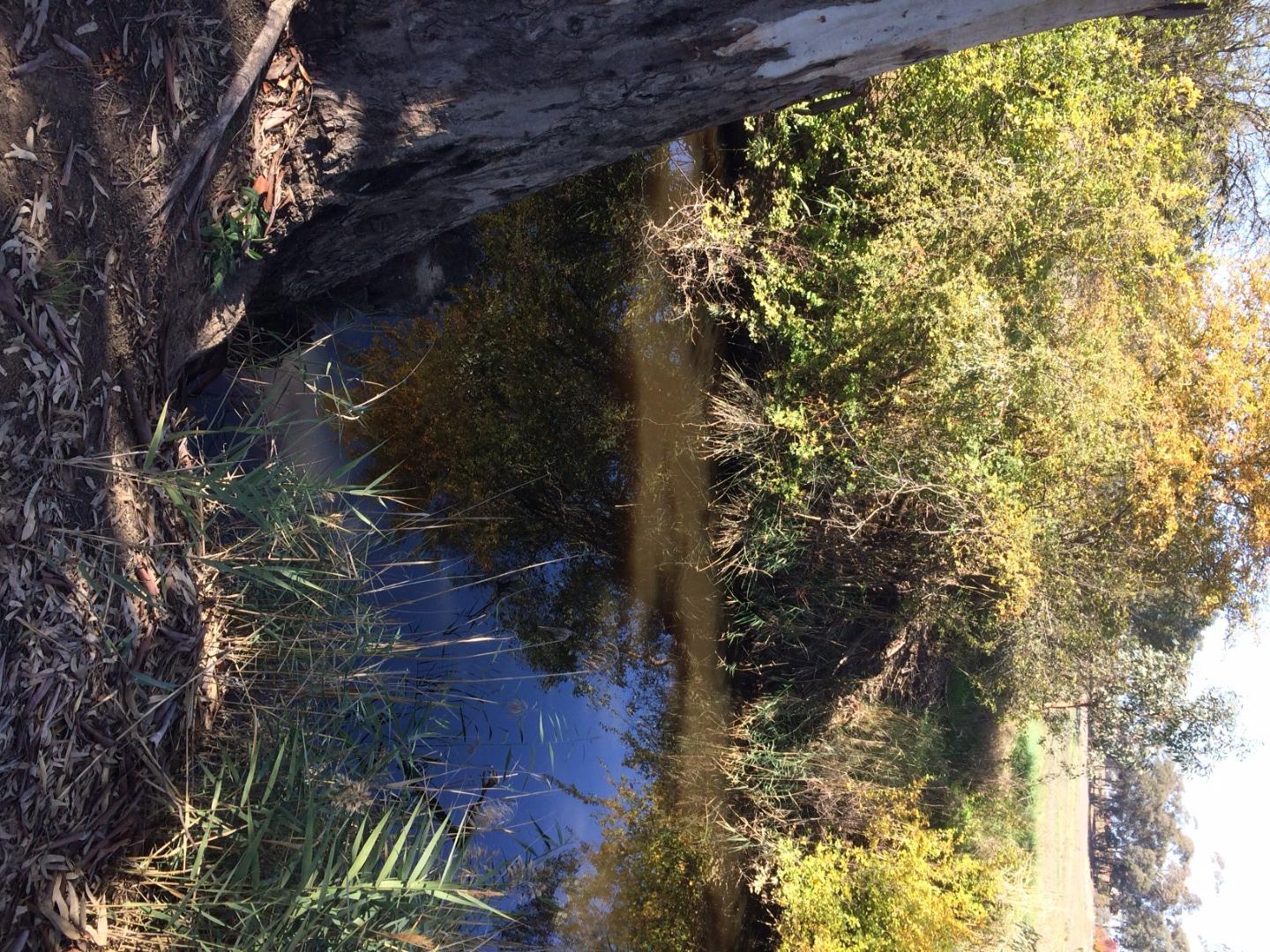
NC_EMU955 Emu creek near corner Sullivans Rd & Dukes Lane
Site details
Overview
| Site code | NC_EMU955 |
|---|---|
| Site name | Emu creek near corner Sullivans Rd & Dukes Lane |
| Status | Active |
| Water Authority | North Central |
| Basin | Campaspe River |
| Catchment | Campaspe River |
| Sub catchment | Axe Creek |
| Reach | 30_11 Emu Creek |
| Water type | Creek |
| Council | |
| History | View all 24 site visits 30-06-2020 - 31-07-2023 |
| Monitoring organisations |
|
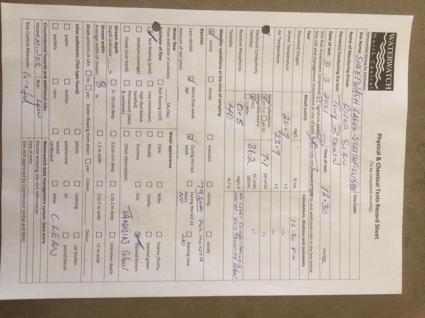
Site visits
 Loading chart
| Date | EC µS/cm | pH pH Units | rP mg/L P | Air ° C | Water ° C | Turb NTU |
|---|---|---|---|---|---|---|
| 30-04-2022 | 268 | 7.2 | 0.03 | 14.6 | 17.6 | 35 |
| 07-06-2022 | 403 | 7.6 | 0.07 | 9.7 | 12.1 | 50 |
| 31-07-2022 | 1216 | 7.4 | 0.1 | 11.4 | 11.3 | 11 |
| 31-08-2022 | 841 | 7.4 | 0.05 | 11.5 | 12.1 | 35 |
| 30-09-2022 | 1072 | 7.4 | 0.07 | 16.6 | 15.3 | 16 |
| 31-10-2022 | 1117 | 7.4 | 0.07 | 18.3 | 15.5 | 11 |
| 30-11-2022 | 1528 | 7.4 | 0.1 | 20.3 | 22.3 | 10 |
| 31-01-2023 | 7.5 | 0.05 | 24.6 | 20 | 11 | |
| 28-02-2023 | 7.8 | 0.07 | 22.5 | 22.6 | 11 | |
| 31-03-2023 | 965 | 7.3 | 0.015 | 16.3 | 18.1 | 12 |
| 30-04-2023 | 758 | 7.3 | 0.07 | 15.5 | 15.1 | 16 |
| 31-05-2023 | 606 | 7.4 | 0.07 | 14.2 | 14 | 11 |
| 30-06-2023 | 958 | 7.3 | 0.05 | 12.8 | 11 | 17 |
| 31-07-2023 | 1404 | 7.5 | 0.05 | 12.2 | 11 | 9 |

All content, files, data and images provided by the Waterwatch Data Portal and Gallery are subject to a Creative Commons Attribution License
Content is made available to be used in any way, and should always attribute Waterwatch and www.vic.waterwatch.org.au
.png)