Waterwatch Data Portal
Site details
Overview
| Site code | NE_SAN060 |
|---|---|
| Site name | Sandy Creek, Mudgegonga LCG Site 6 |
| Status | Inactive |
| Water Authority | North East |
| Basin | Ovens River |
| Catchment | Ovens River |
| Sub catchment | |
| Reach | 3_40 Barwidgee Creek |
| Water type | Other |
| Council | |
| History | View all 33 site visits 17-01-2007 - 22-04-2016 |
| Monitoring organisations |
|

 Loading chart
Habitat
| Date | Comment | Bank Erosion Stability | Bank Vegetation | In Stream Cover | Riffles Pools Bends | Verge Vegetation | Overall |
|---|---|---|---|---|---|---|---|
| 24-11-2010 | Good 4 | Good 8 | Fair 6 | Fair 3 | Excellent 10 | Poor 31 | |
| 18-05-2009 | Good 4 | Good 8 | Fair 6 | Poor 2 | Excellent 10 | Poor 30 | |
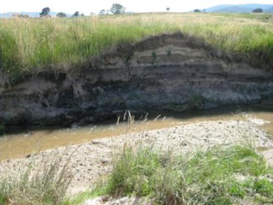
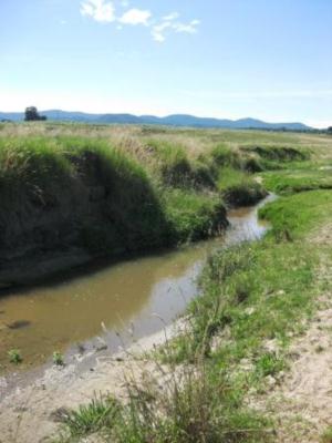
| 11-03-2009 | Many blackberries and thistles found surrounding embankment. Localised erosion also evident. Variety of aquatic plants along with some algae. Water surface evident of an oily scum. | Fair 3 | Good 8 | Good 8 | Fair 3 | Good 8 | Poor 30 |
| 17-01-2007 | verge has abundant fenced off new vegetation plantations of native sppecies. Abundant in stream vege of reeds, grasses and weeds. Blackberry present and exotic grasses on banks. Areas of good native species at either end of rech along bank but near the bridge (tree removal evident). | Fair 3 | Good 8 | Fair 6 | Poor 2 | Fair 6 | Fair 25 |

All content, files, data and images provided by the Waterwatch Data Portal and Gallery are subject to a Creative Commons Attribution License
Content is made available to be used in any way, and should always attribute Waterwatch and www.vic.waterwatch.org.au
.png)