Waterwatch Data Portal
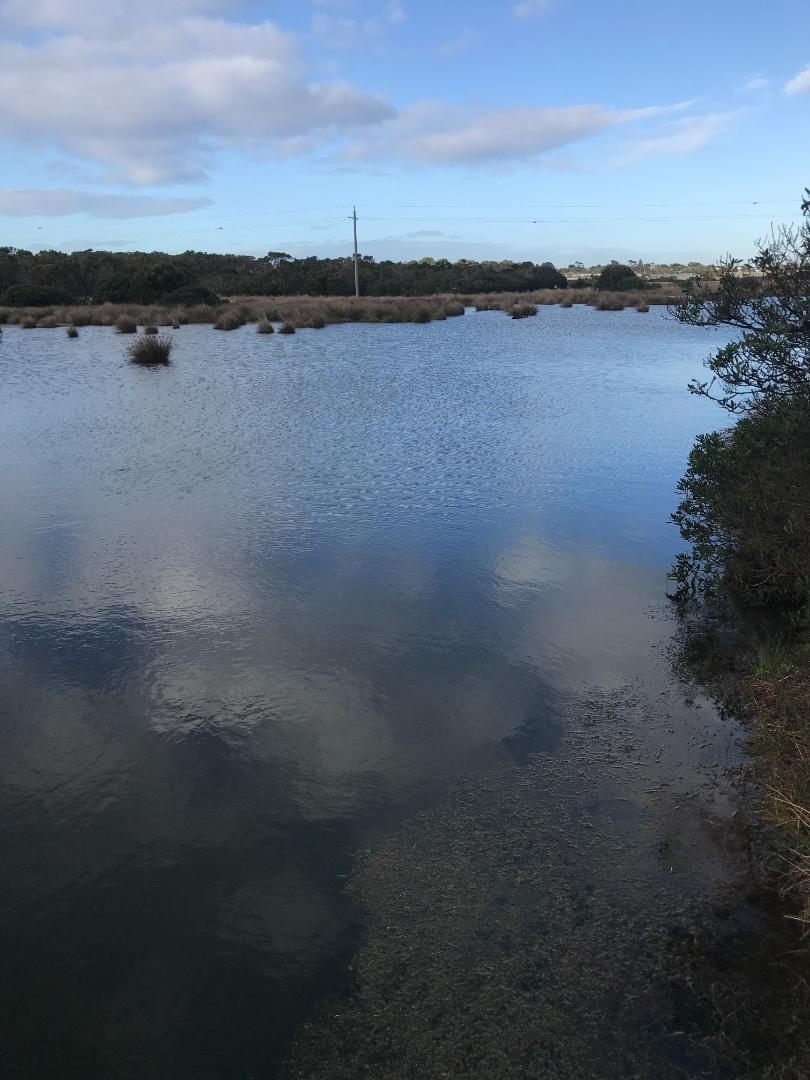
ME_EFI200 Fishers Wetland @ boardwalk next to the road, where it drains into Westernport
13 June 2019
Site visit details
Overview
| Catchment | Bunyip River |
|---|---|
| Site | Fishers Wetland @ boardwalk next to the road, where it drains into Westernport ME_EFI200 |
| Date and Time | Thursday 13th June 2019 09:15am |
| Approved | Approved |
Physical Chemical Tests
| Ammon-Nit mg/L NH3-N | N mg/L NH4+ | D.O. % | D.O mg/L | EC µS/cm | FrP mg/L P | Nitrate-Nit mg/L N | pH pH Units | rP mg/L P | Air ° C | Water ° C | Turb NTU | |
|---|---|---|---|---|---|---|---|---|---|---|---|---|
| Sample | 54.6 | 6 | 1101 | 7.4 | 0.05 | 12 | 11 | 20 |
| Weather | cloudy |
|---|---|
| Last rainfall | During the last 24 hours 17.60 |
| Flow estimate | FLOOD / OVERBANK: flow is high and water level has exceeded bank capacity and is connecting with floodplain |
| Water Appearance | Clear |
| Stream depth | 51cm - 99cm |
| Stream width | > 5m |
| Hazards | |
| Litter/Pollutants |

All content, files, data and images provided by the Waterwatch Data Portal and Gallery are subject to a Creative Commons Attribution License
Content is made available to be used in any way, and should always attribute Waterwatch and www.vic.waterwatch.org.au
.png)