Waterwatch Data Portal
Site details
Overview
| Site code | ME_MGH450 |
|---|---|
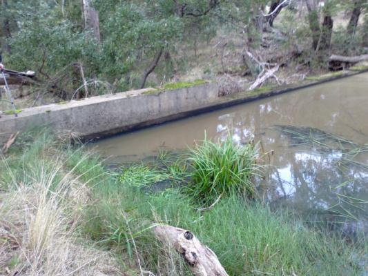
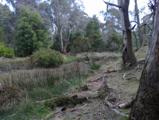
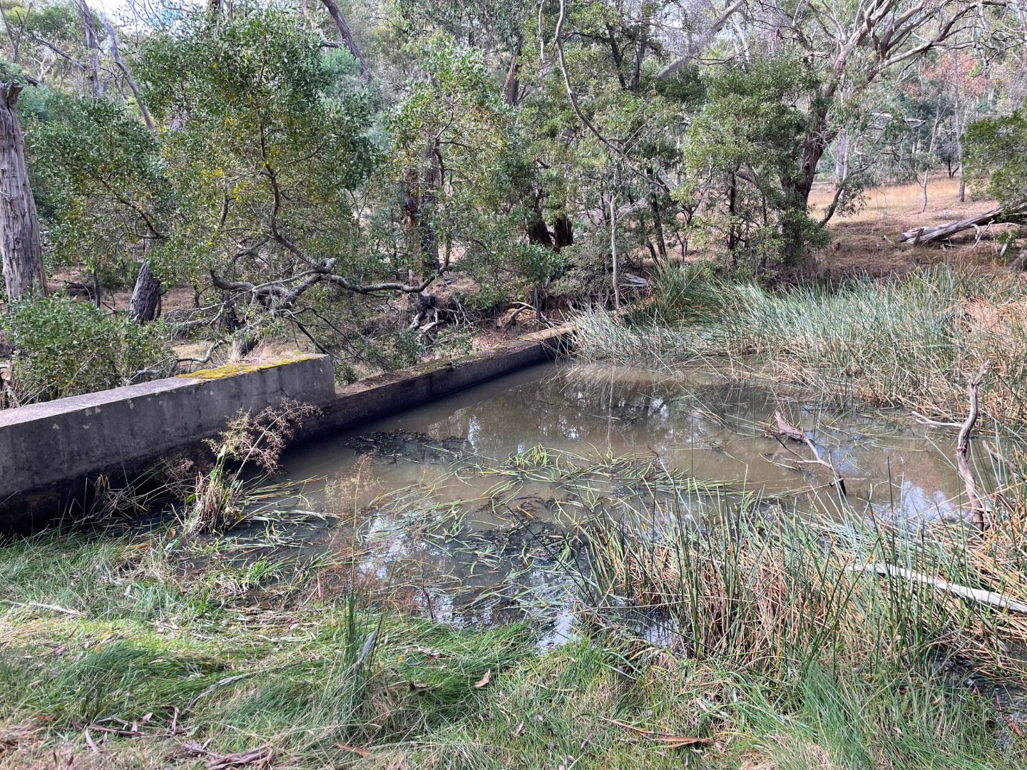
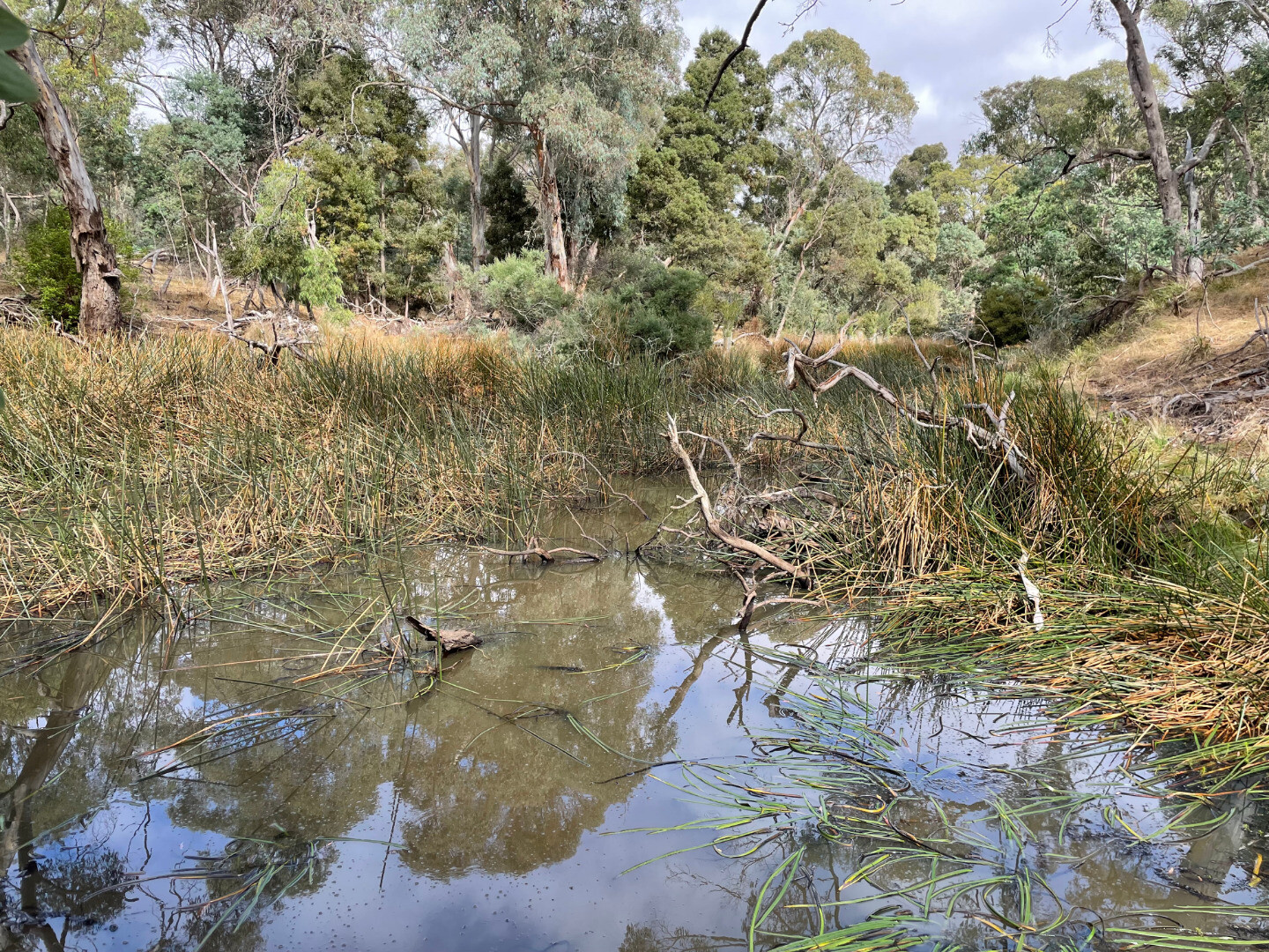
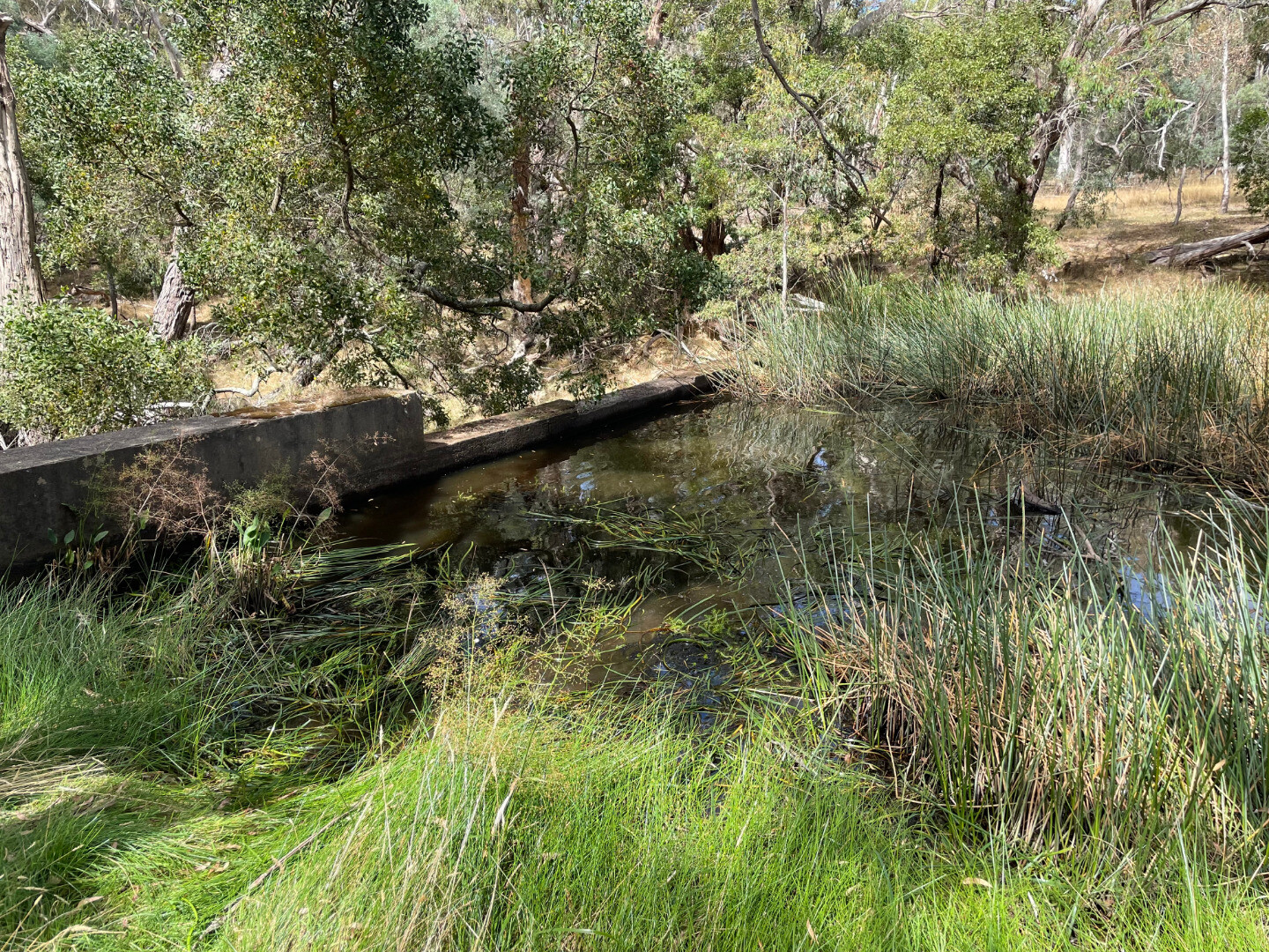
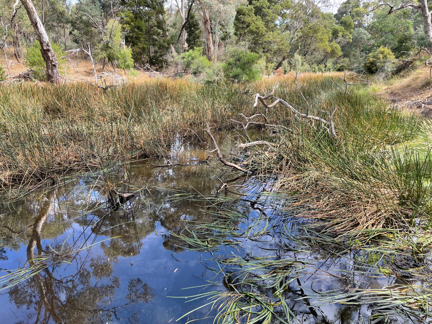
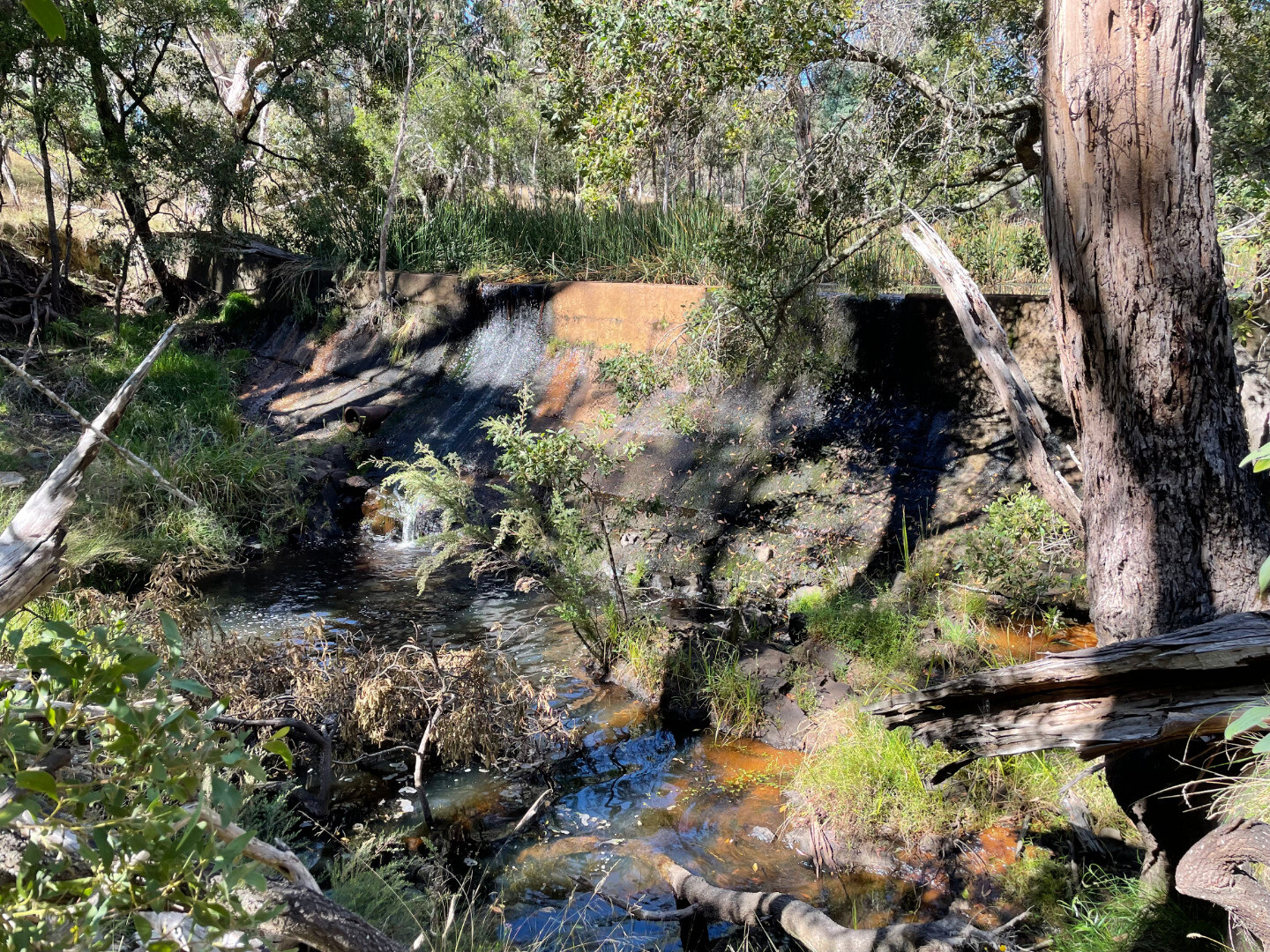
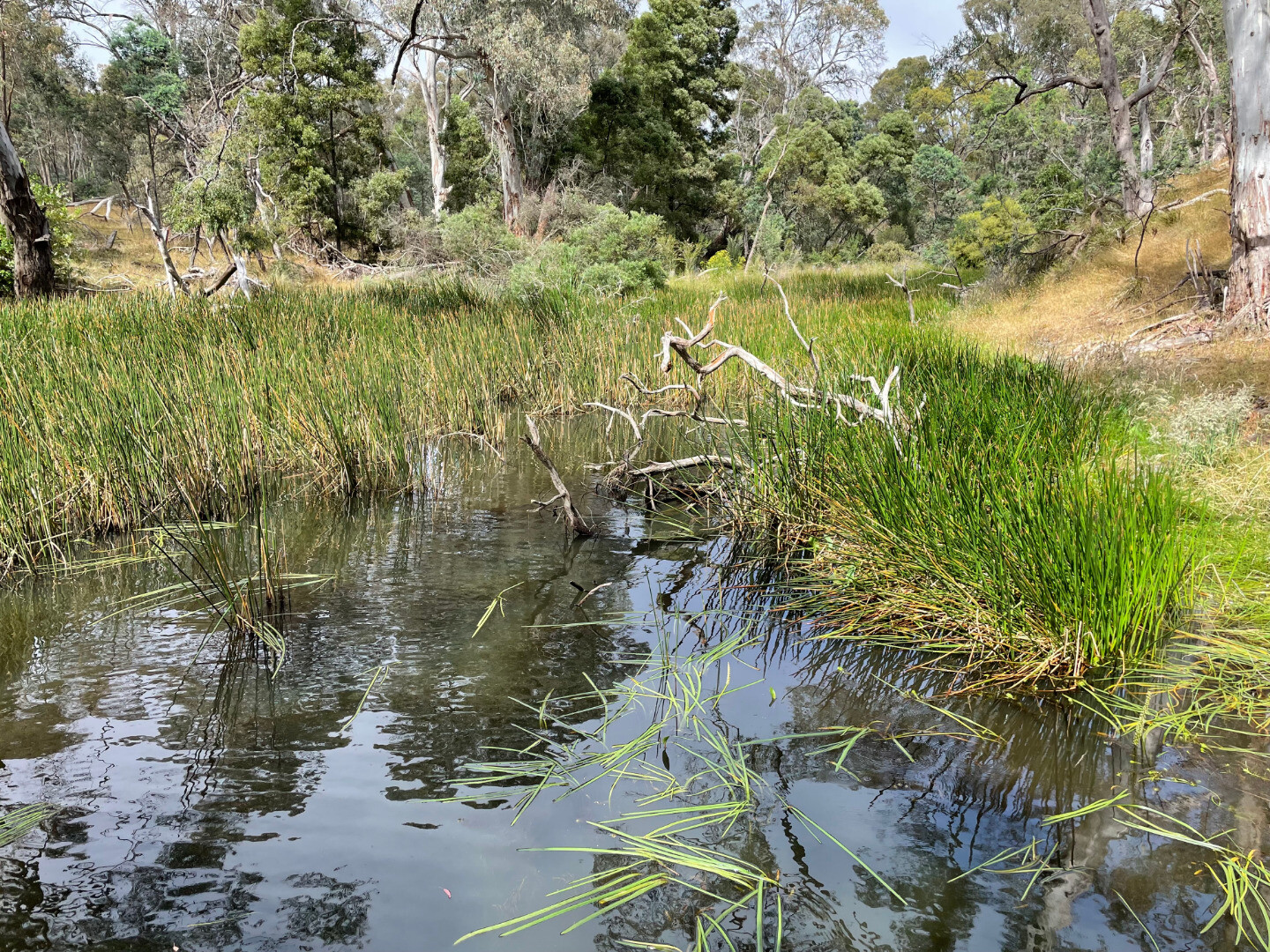
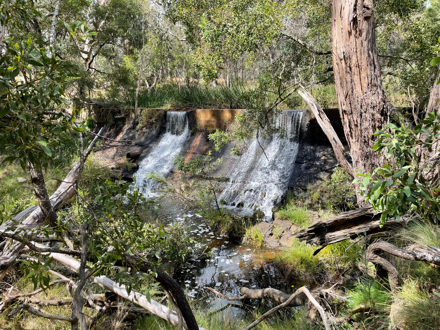
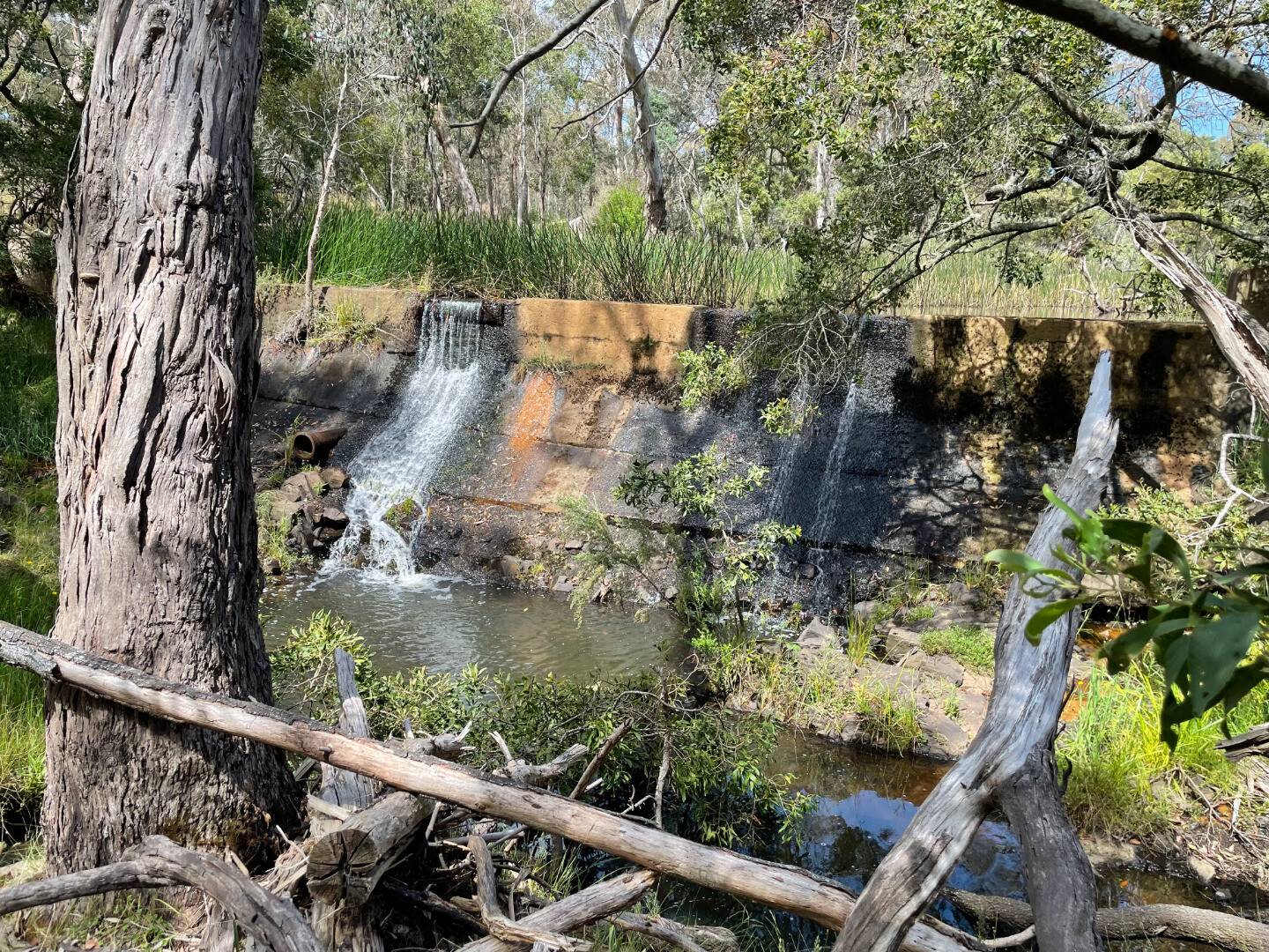
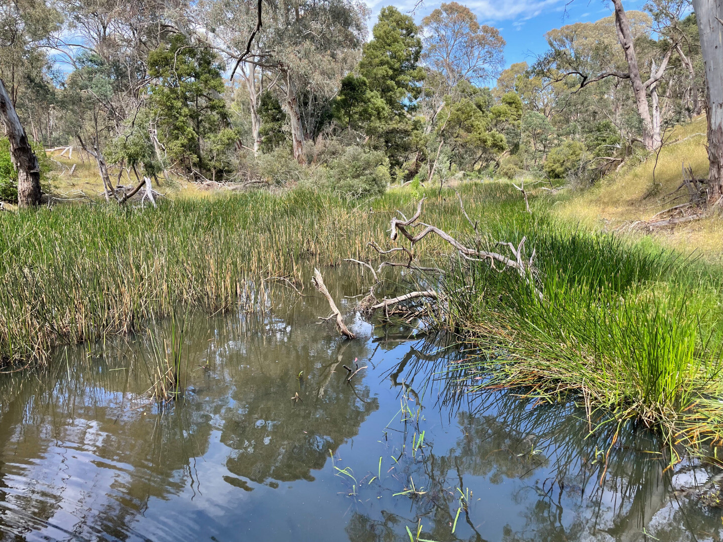
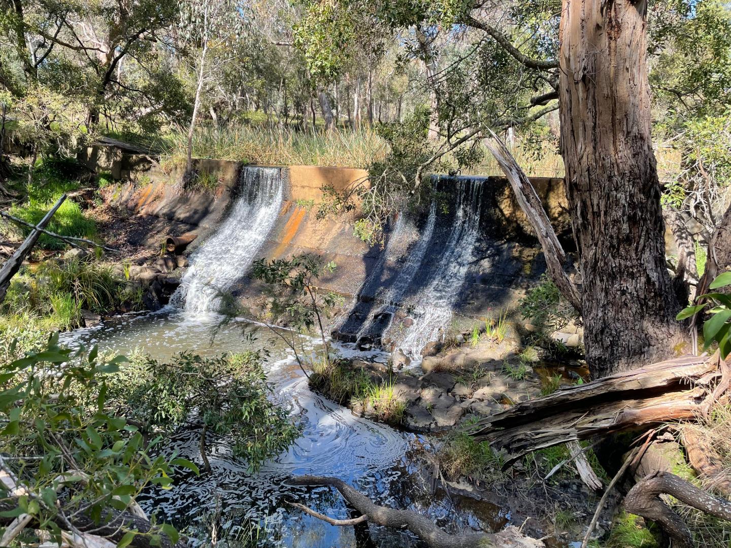
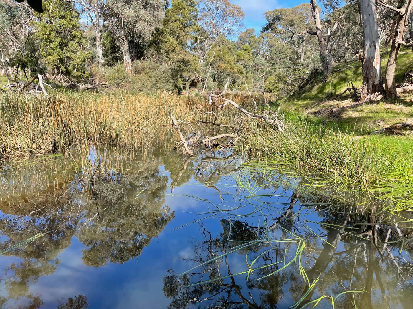
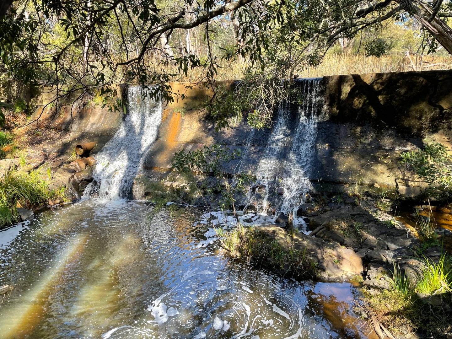
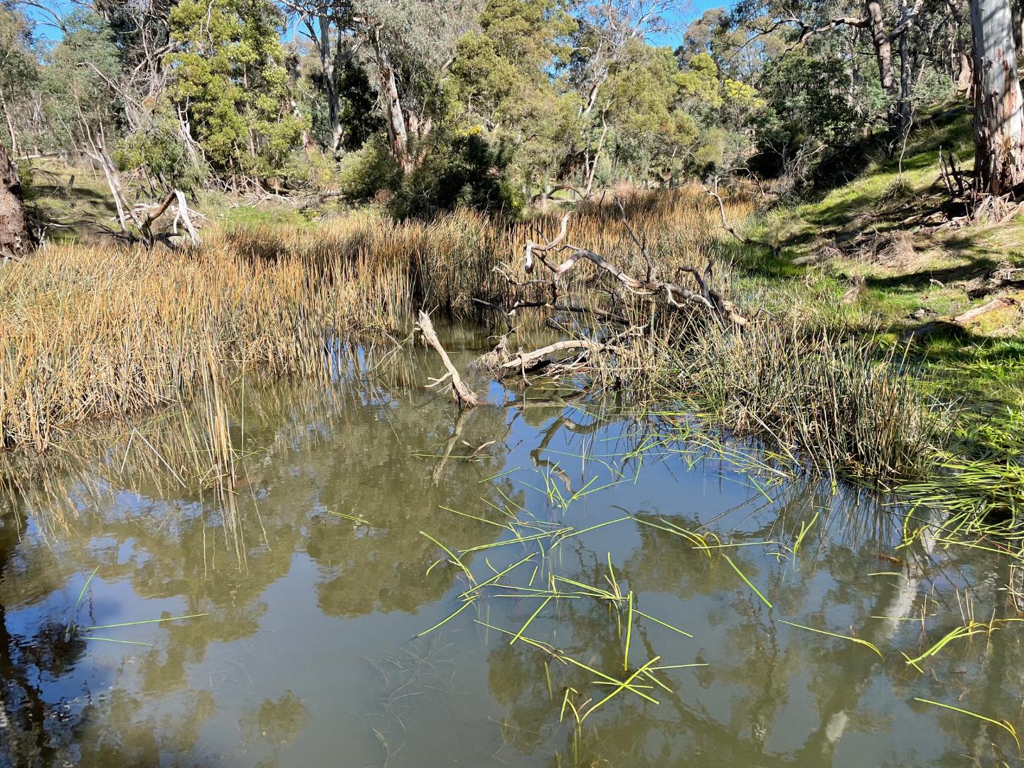
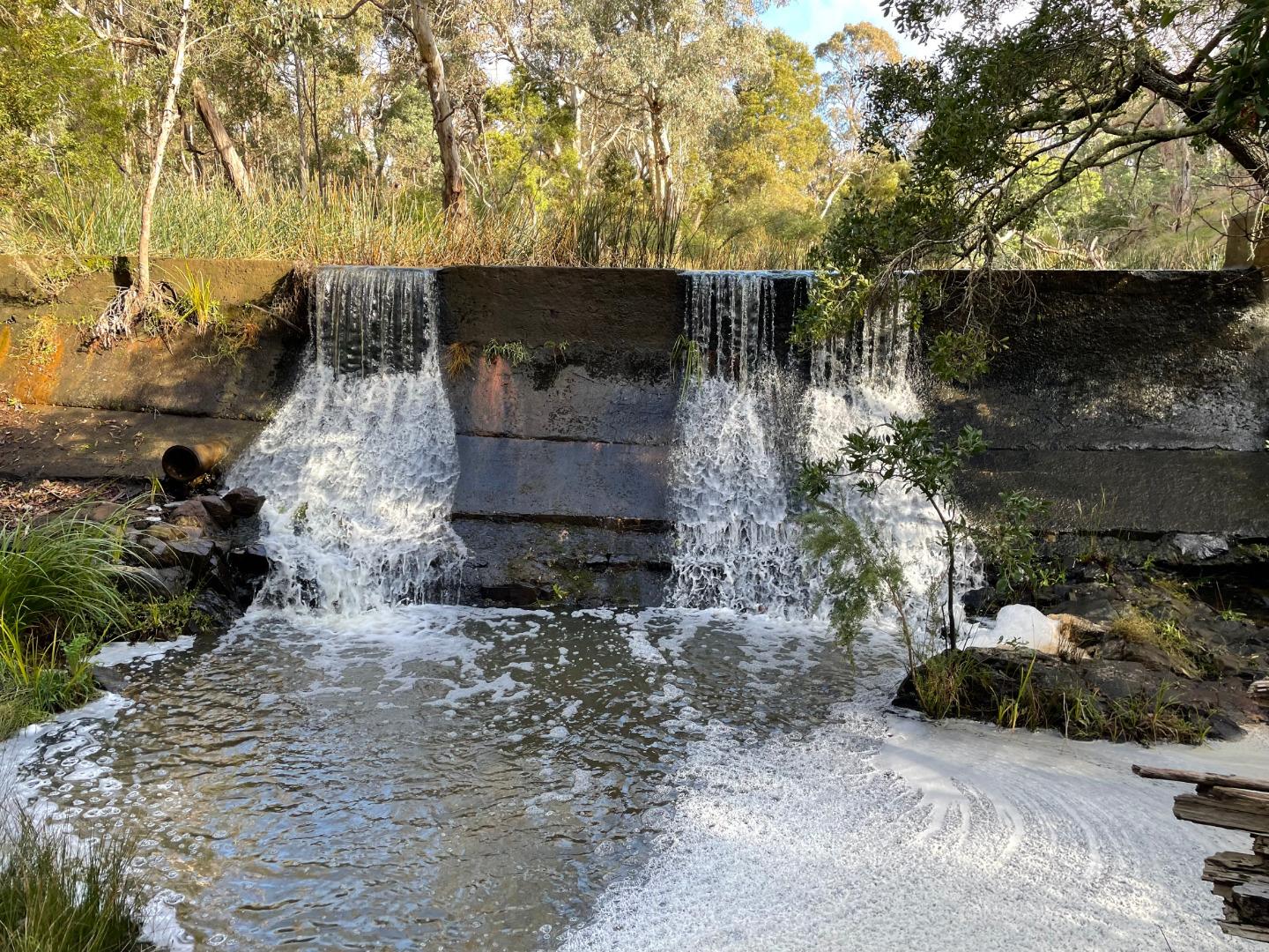
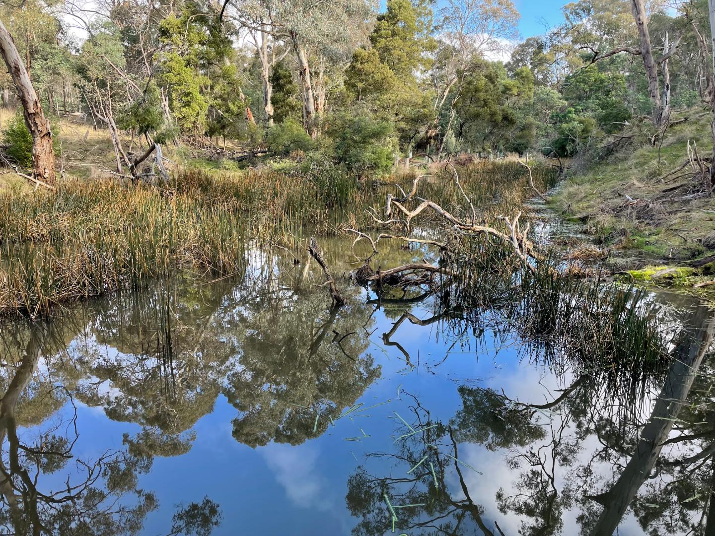
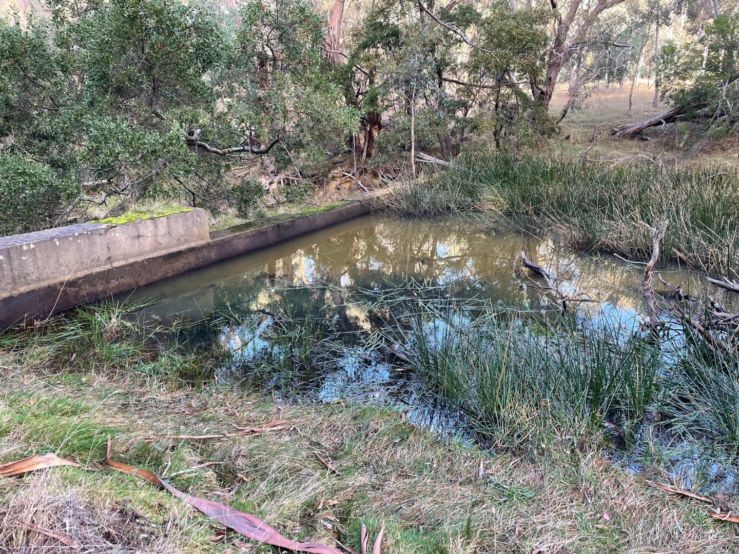
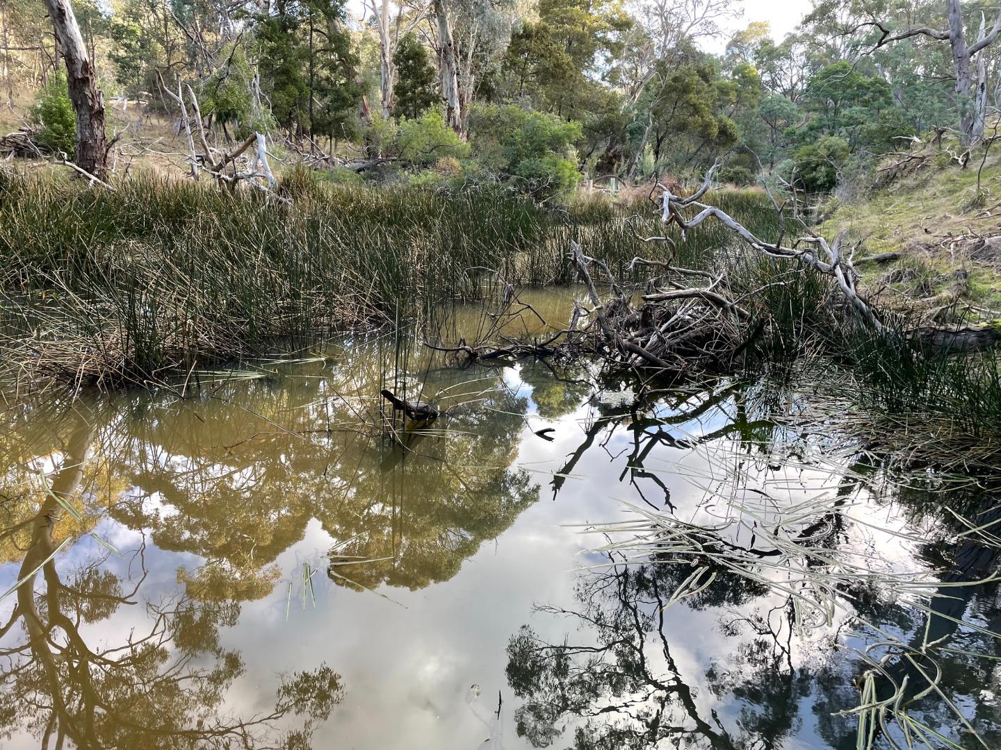
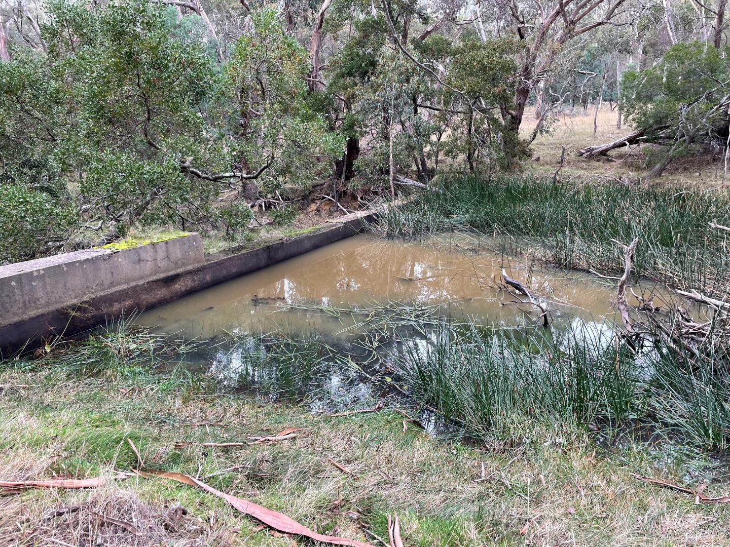
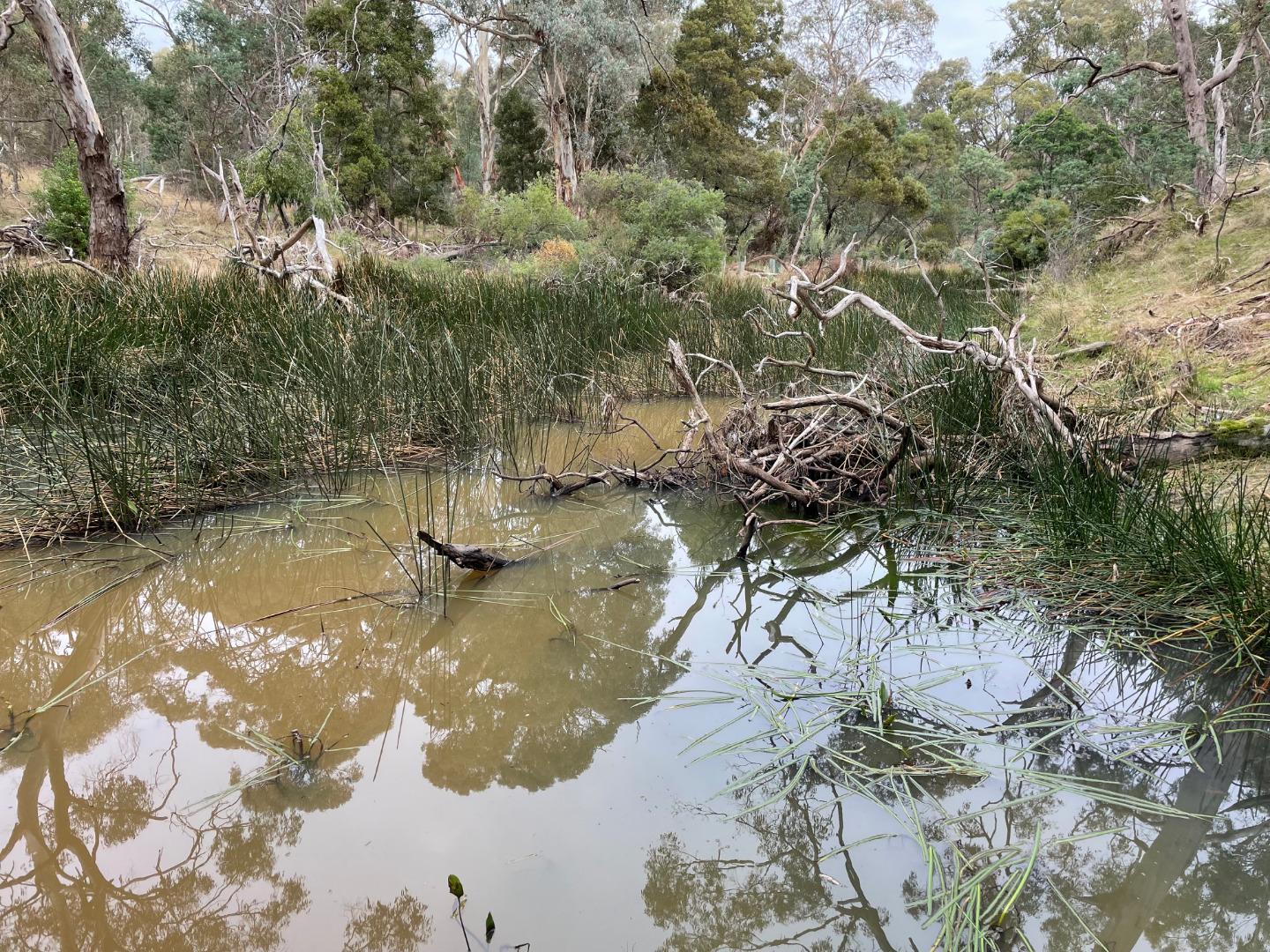
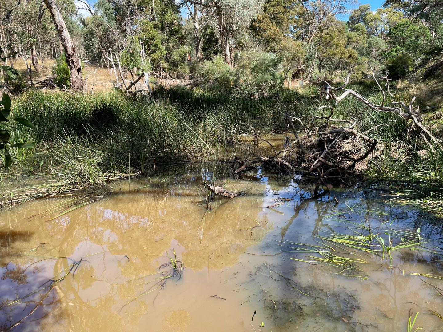
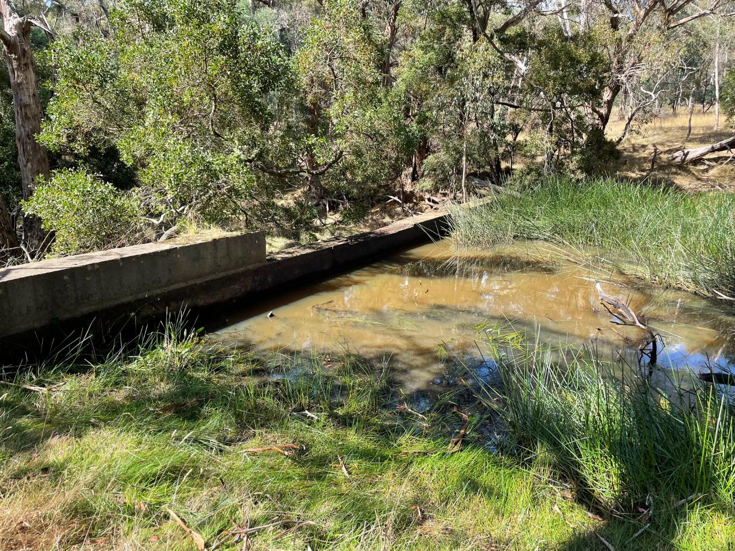
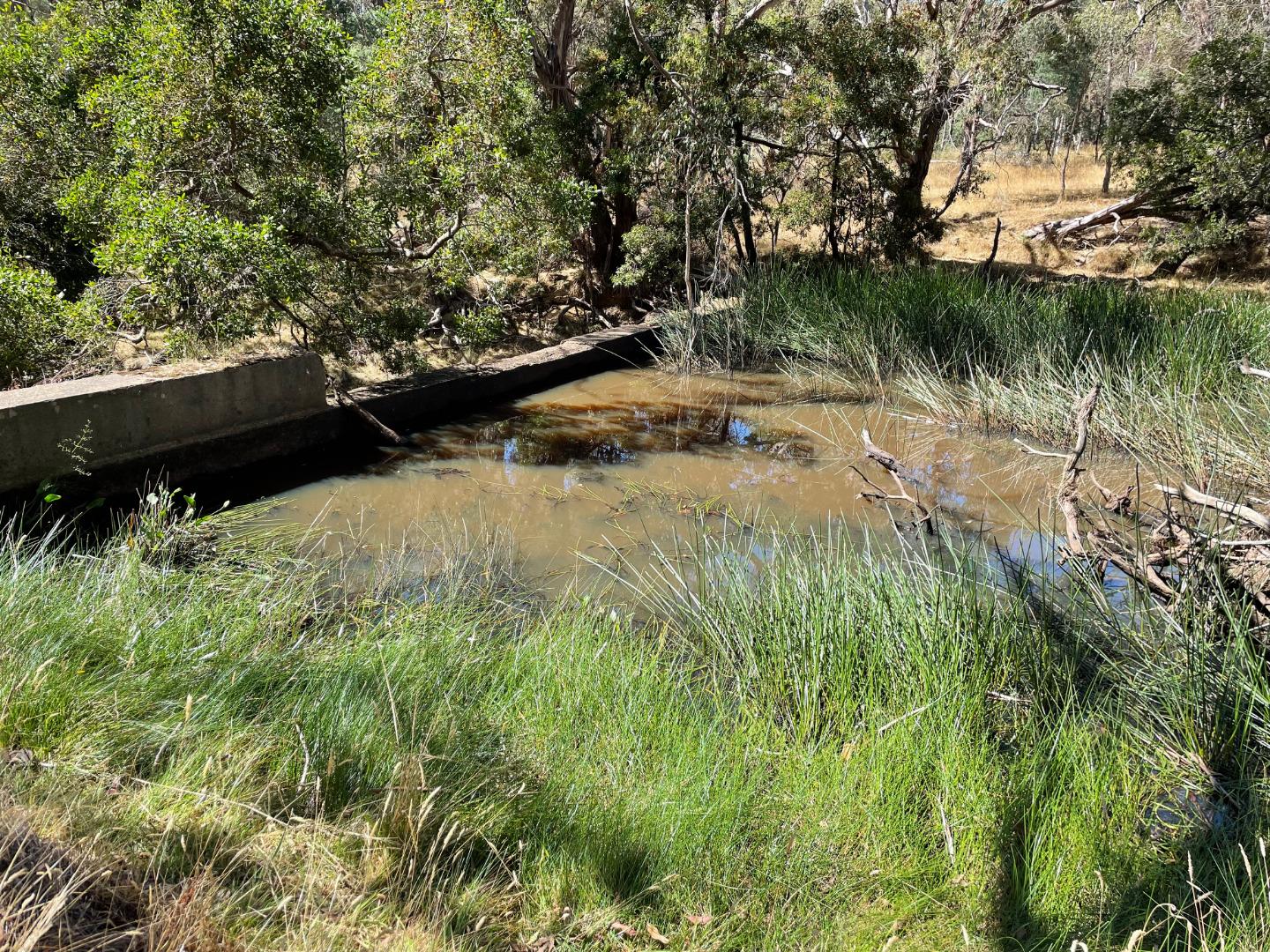
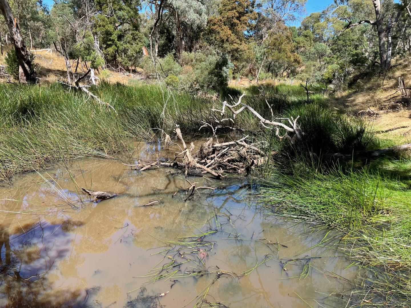
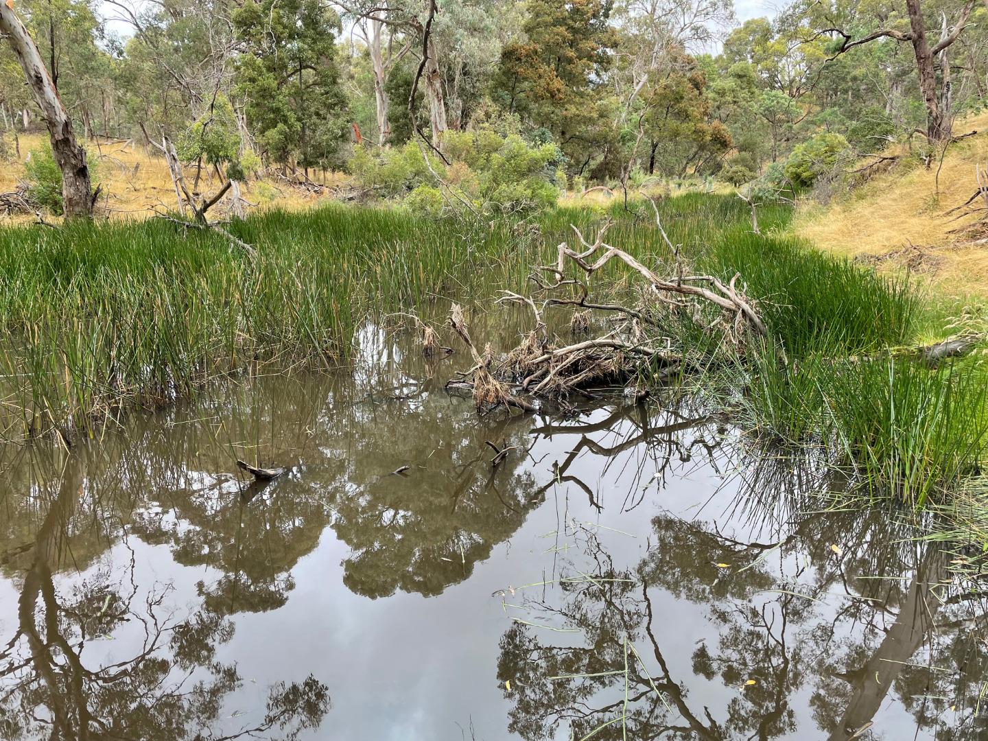
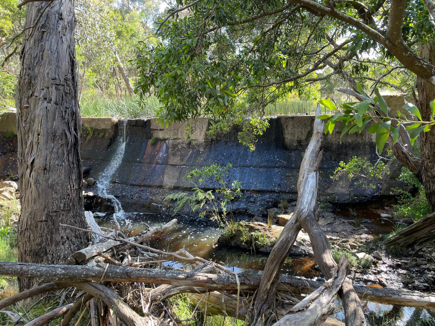
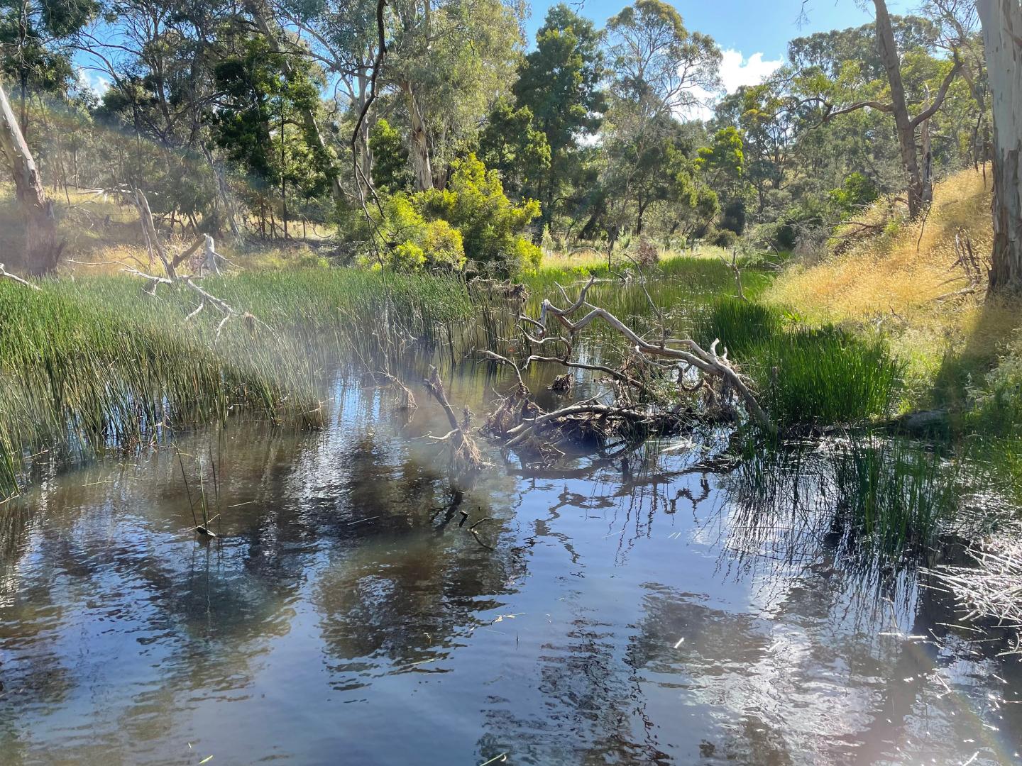
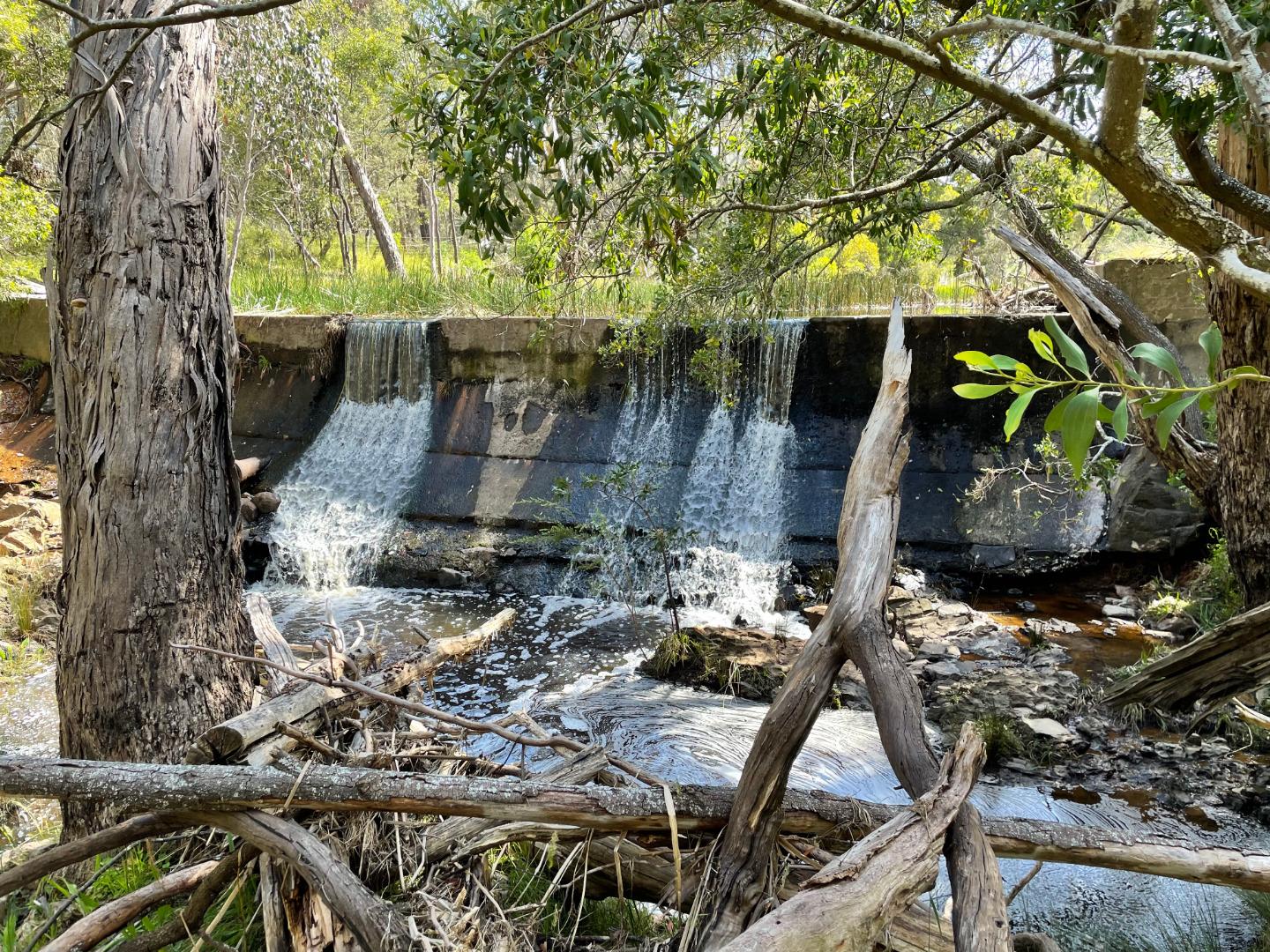
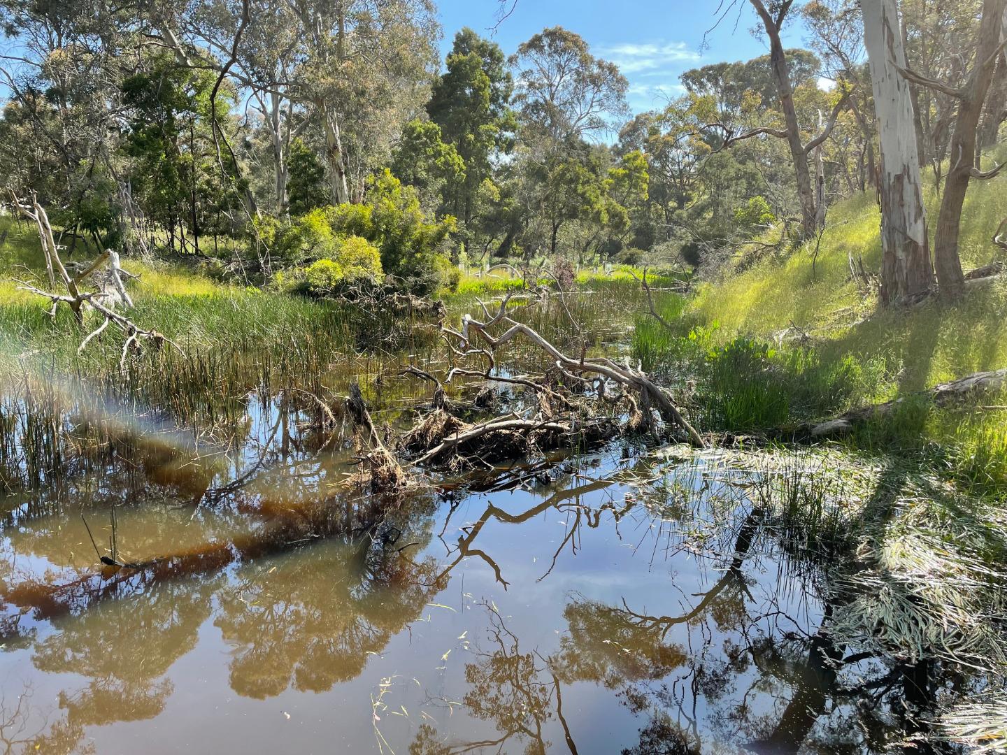
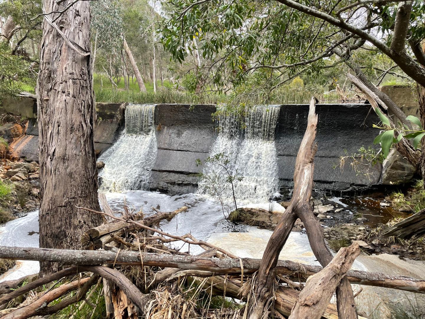
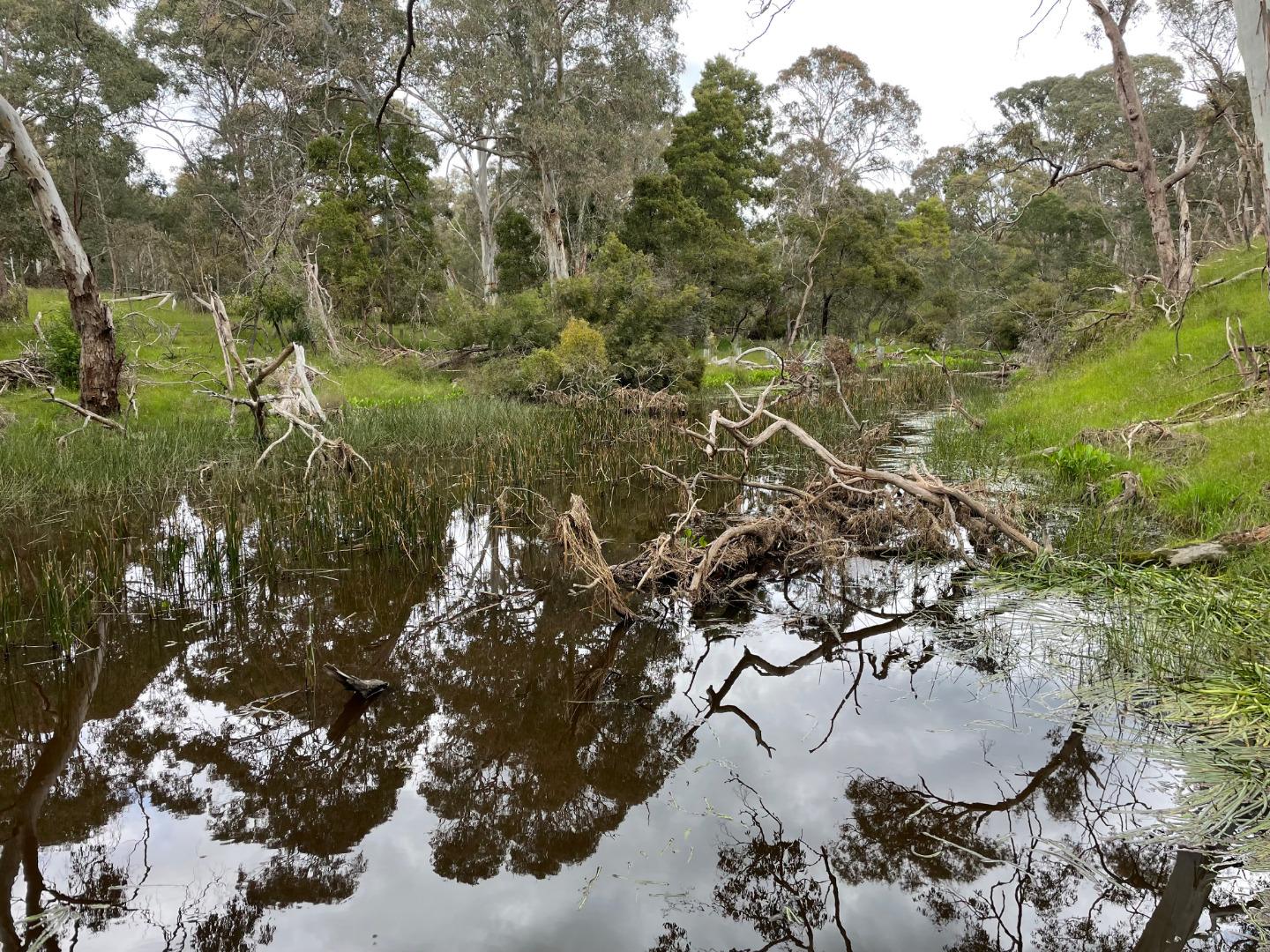
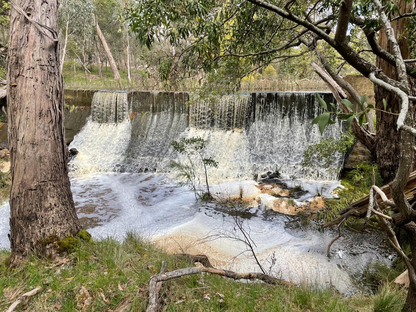
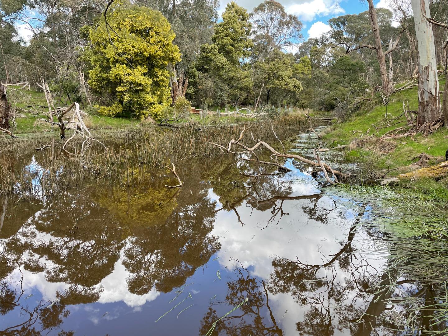
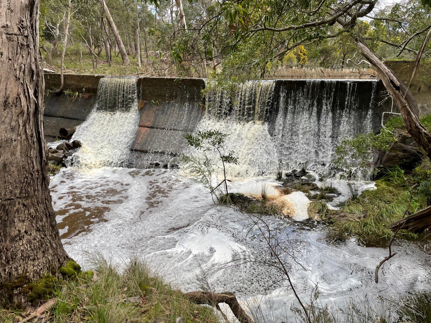
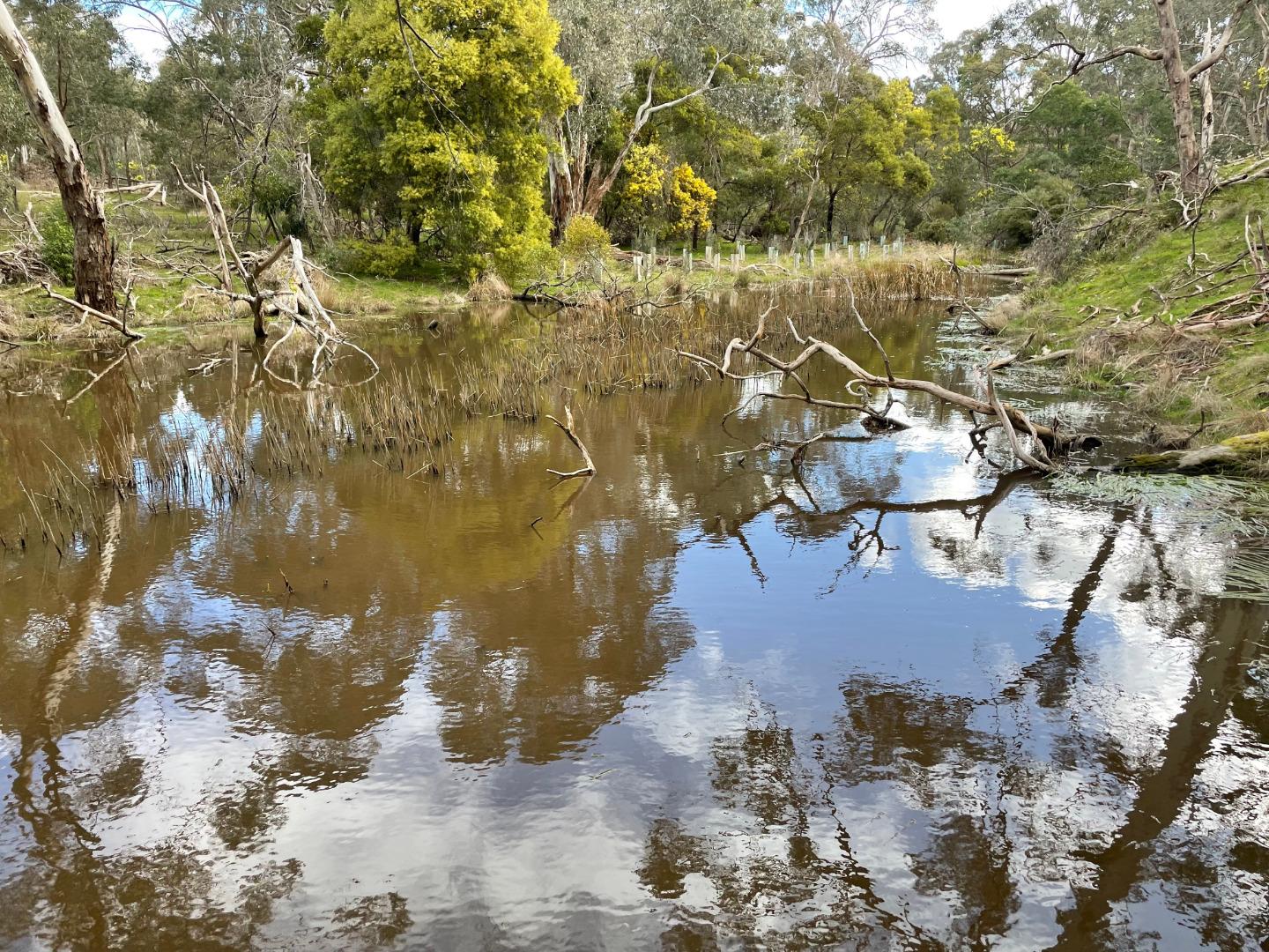
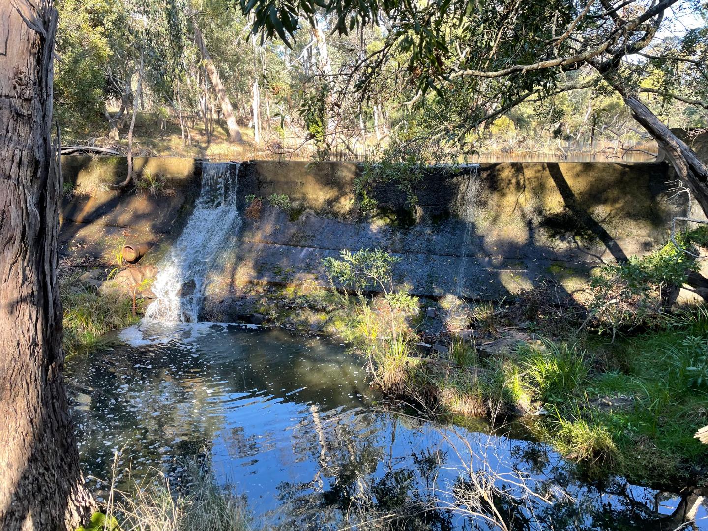
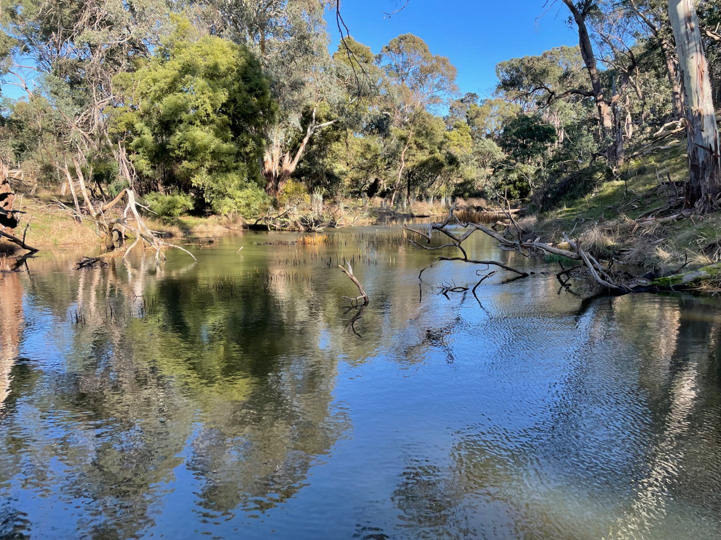
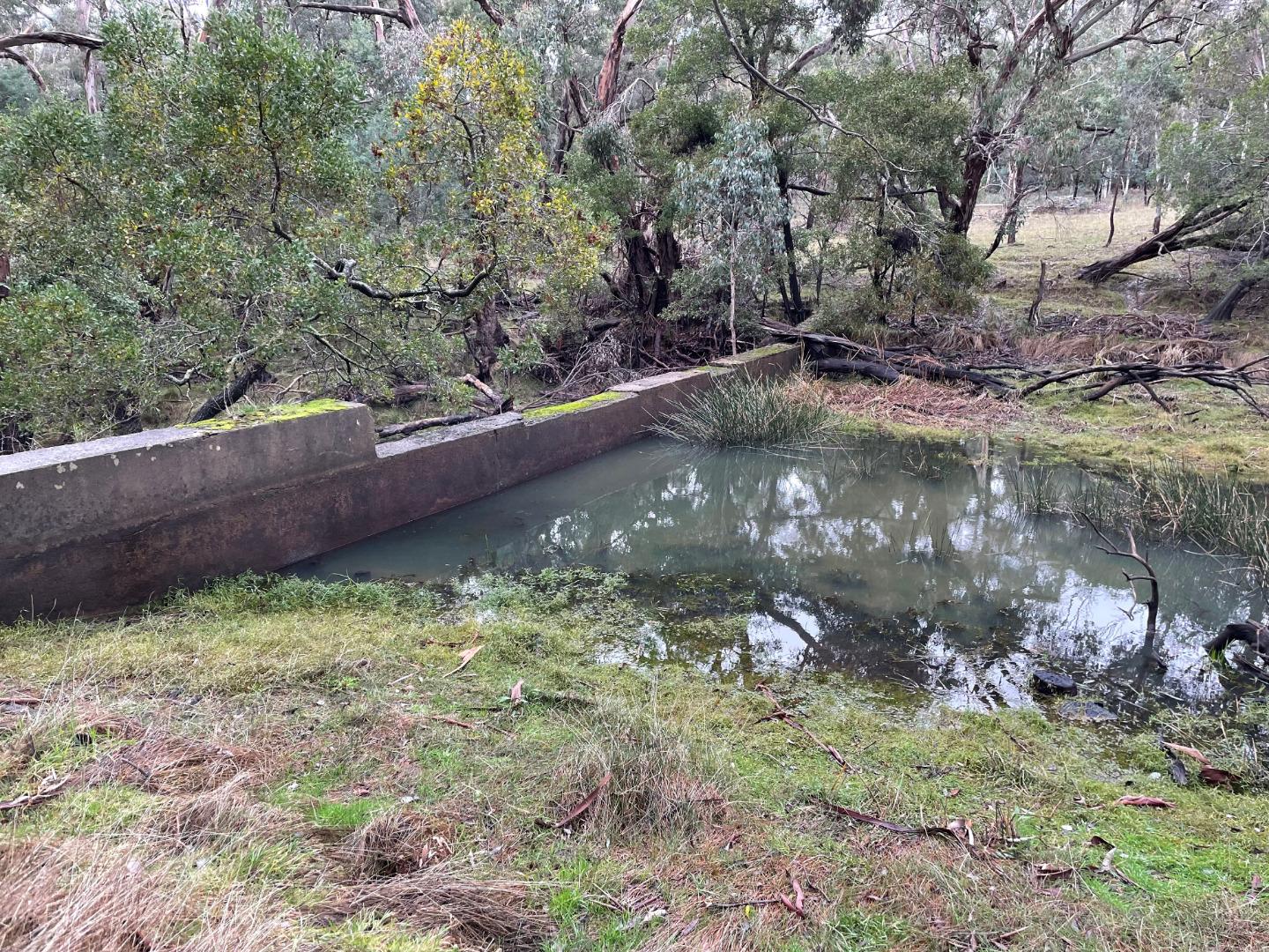
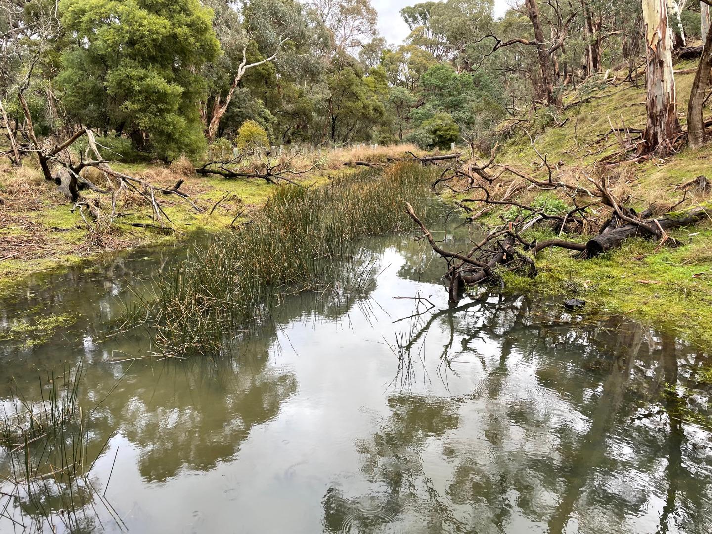
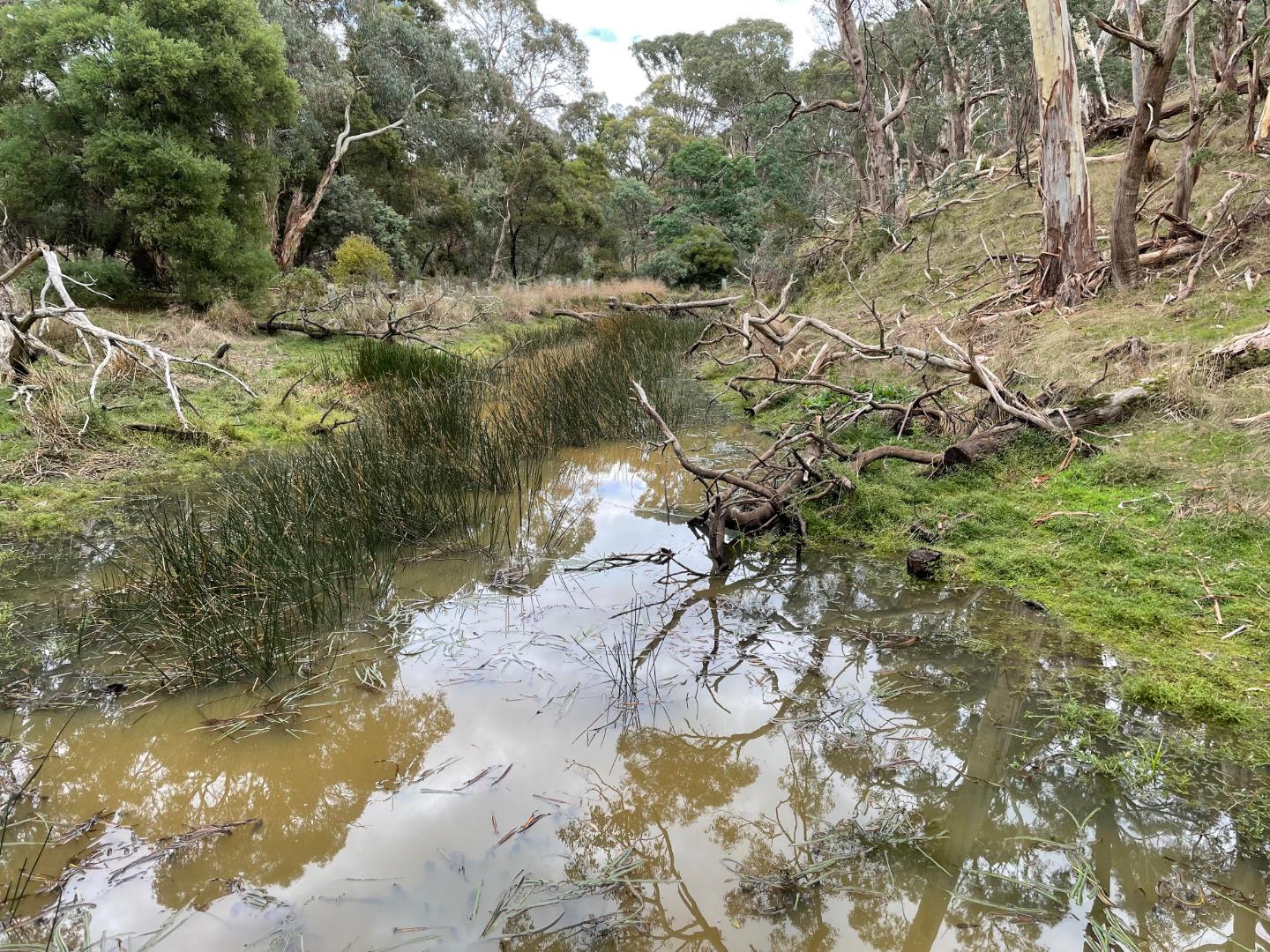
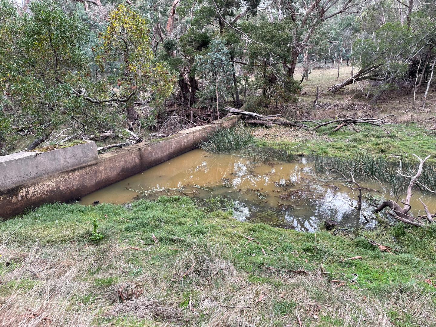
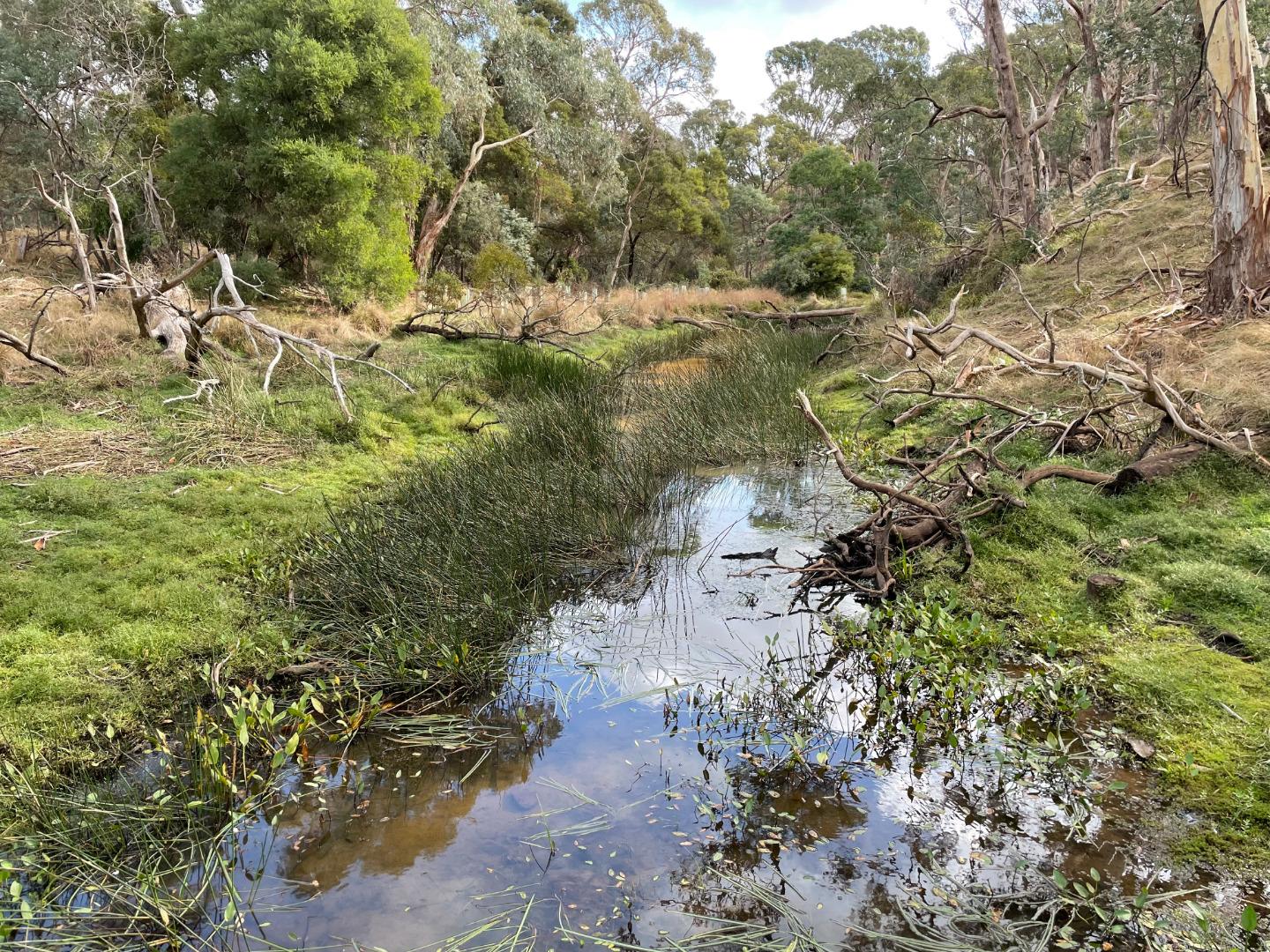
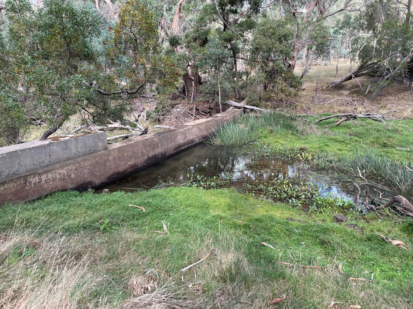
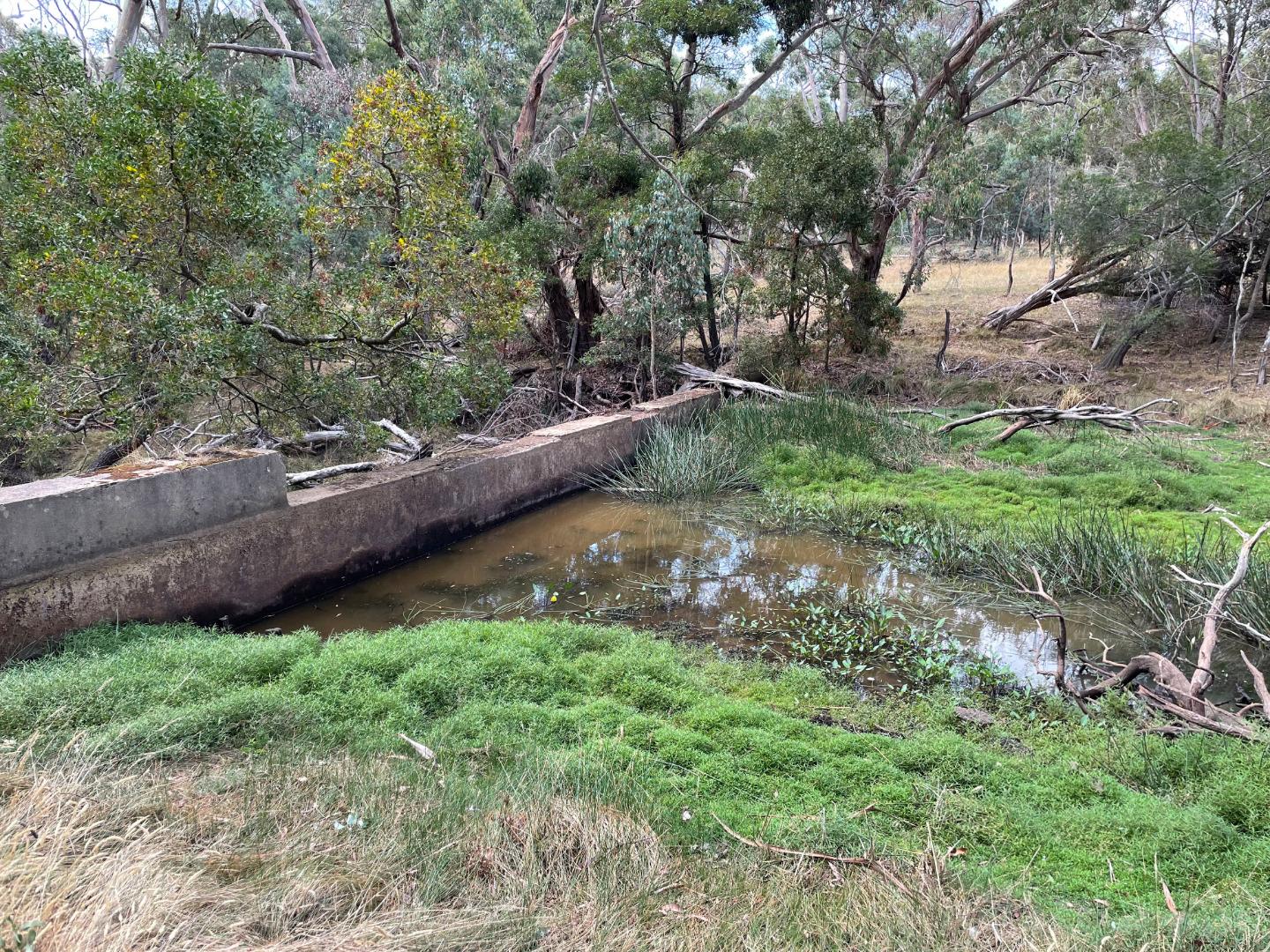
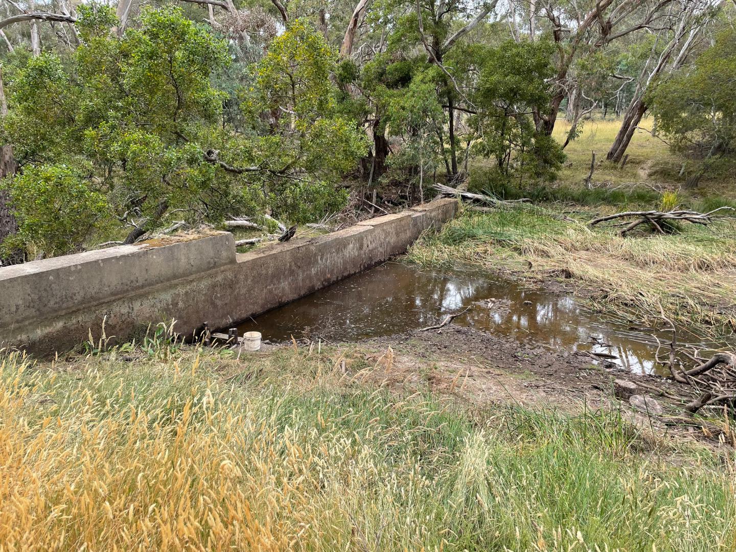
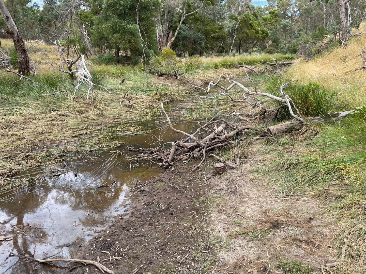
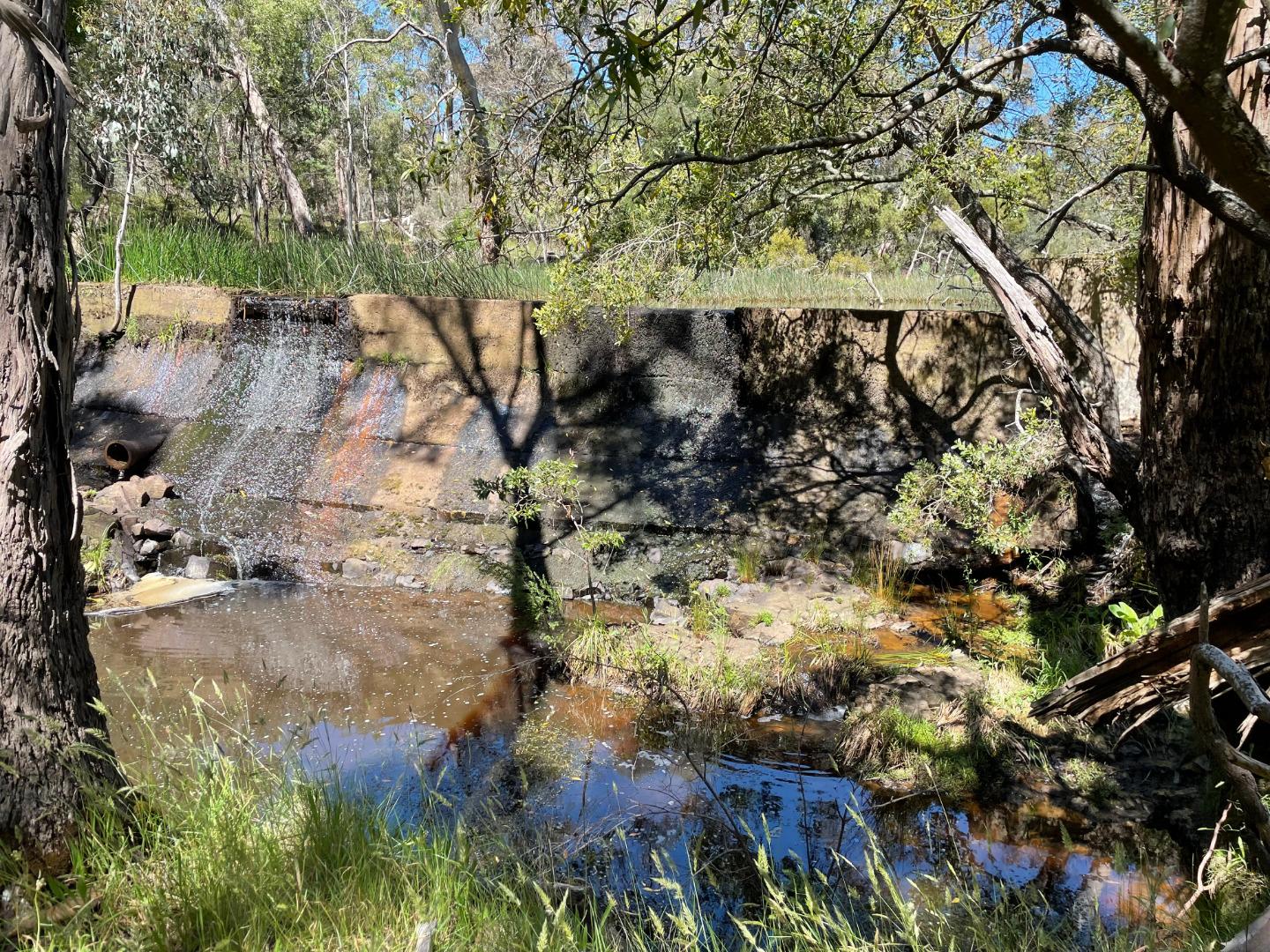
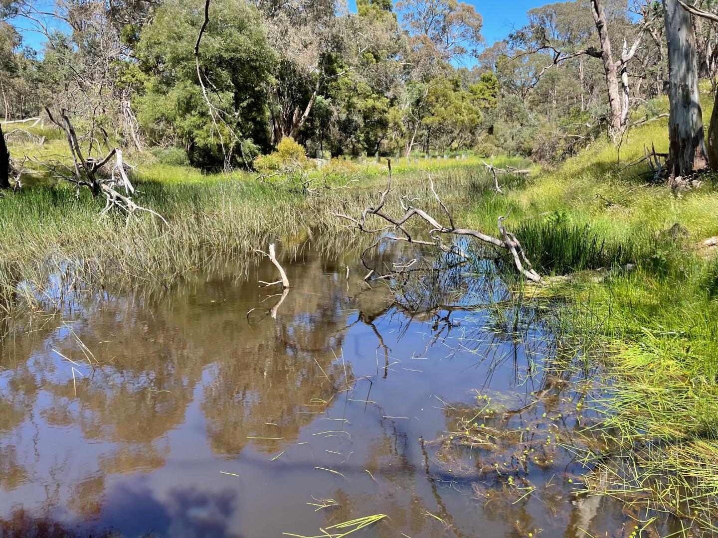
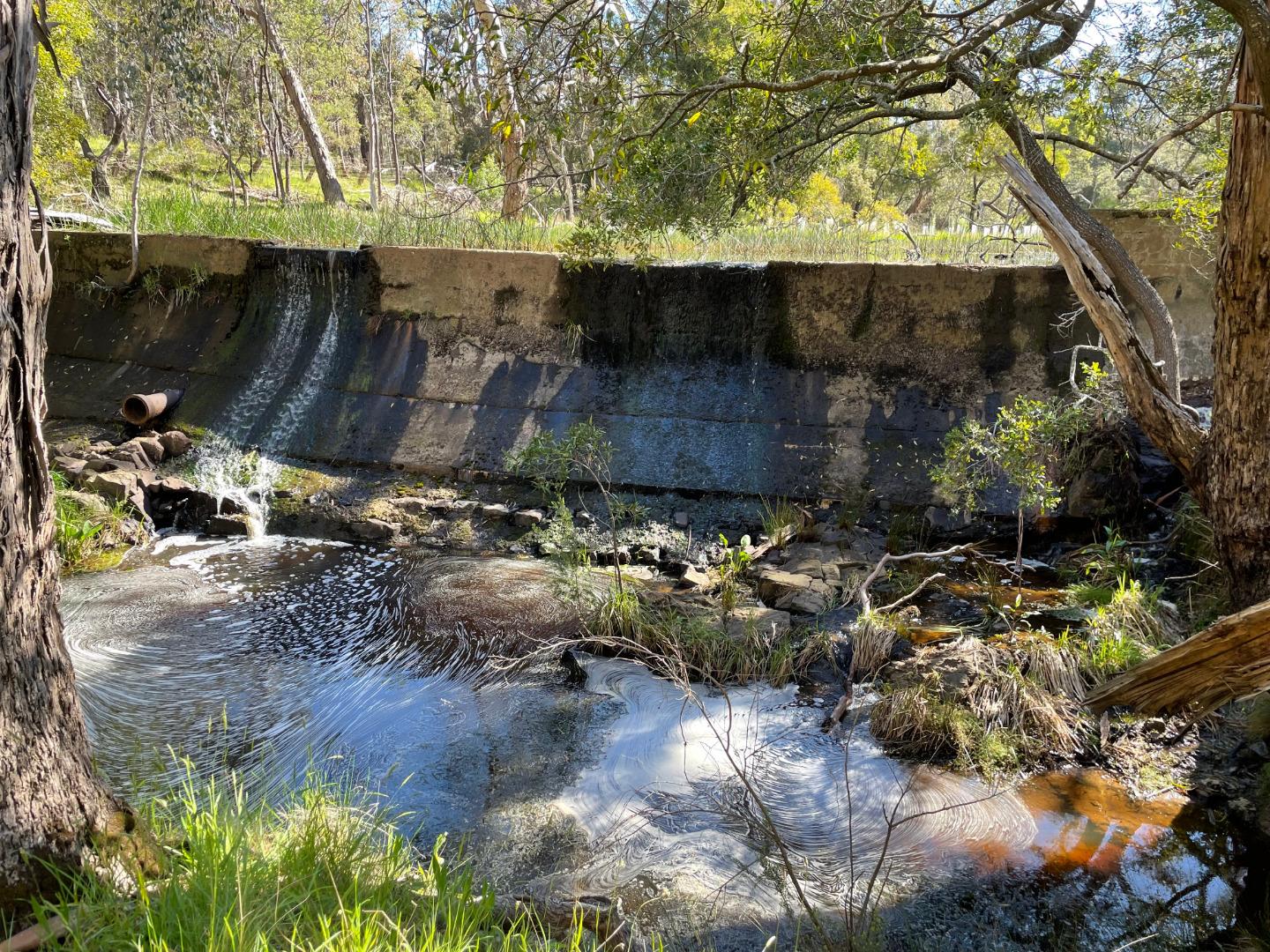
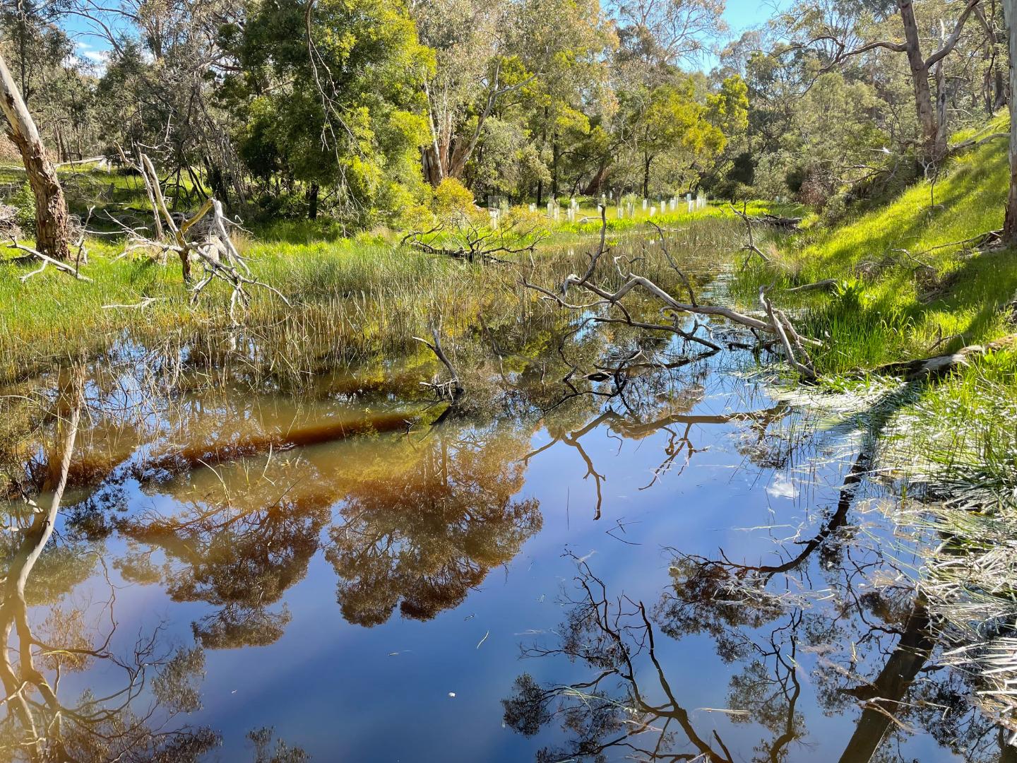
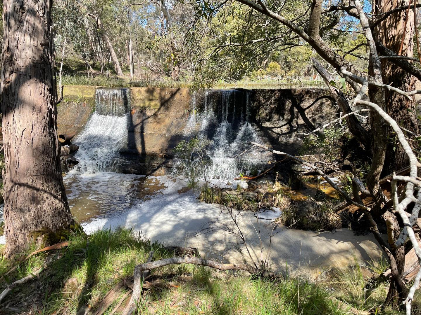
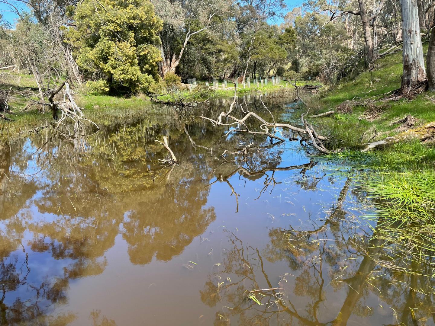
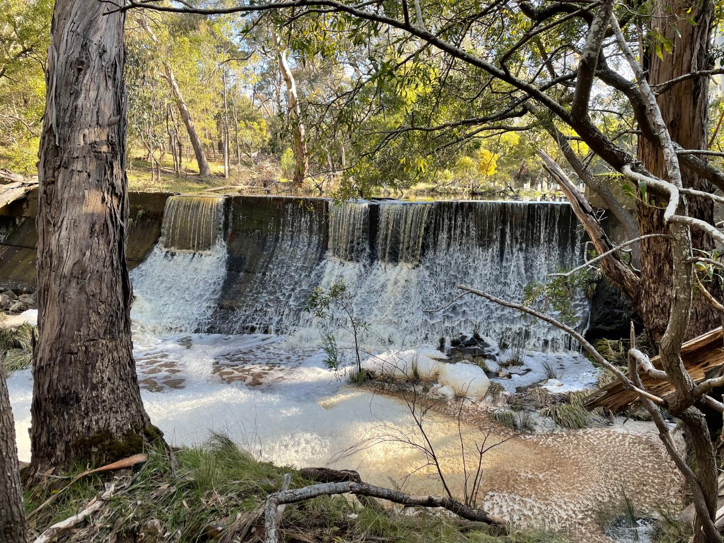
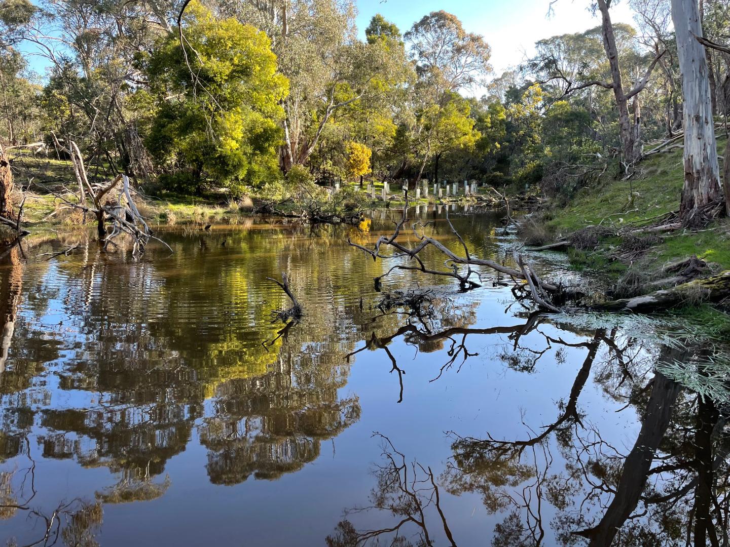
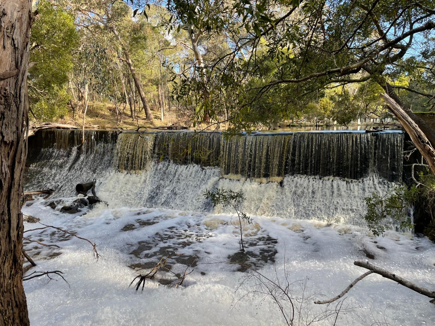
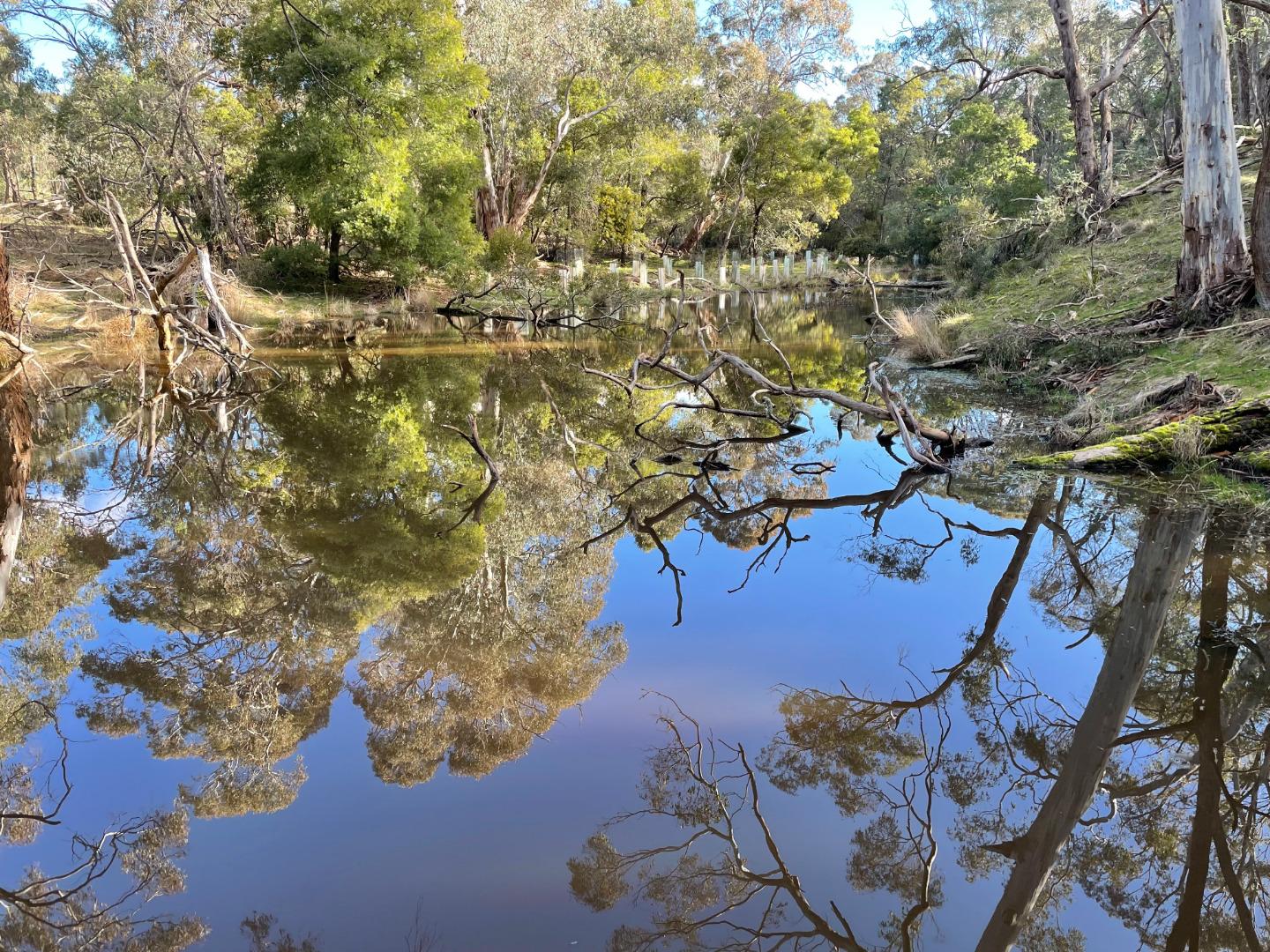
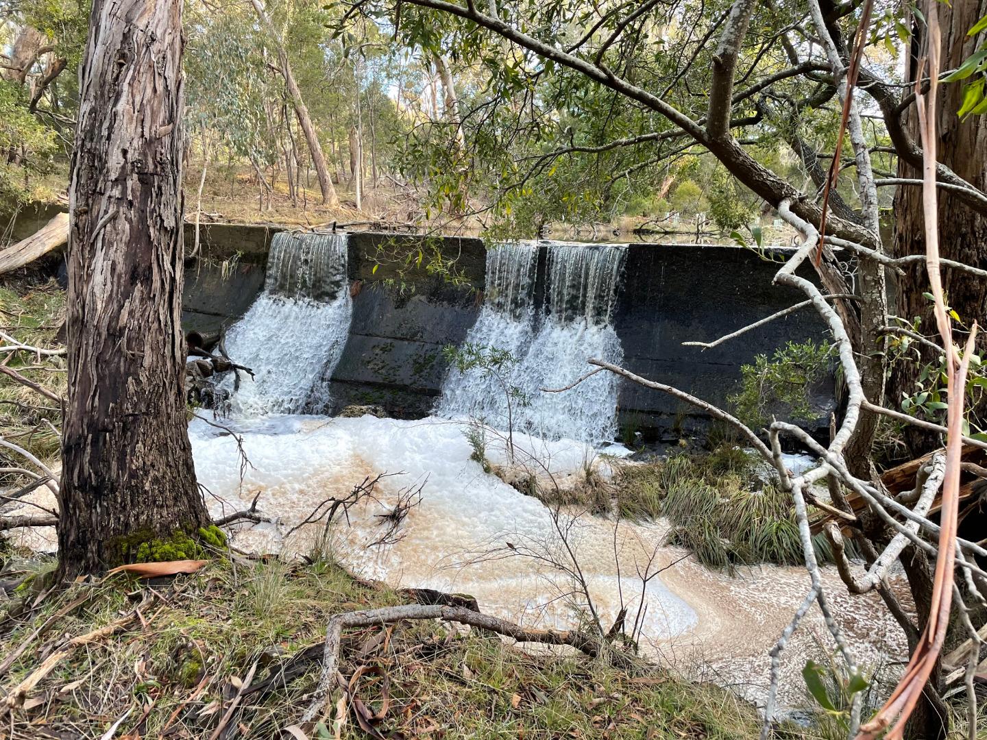
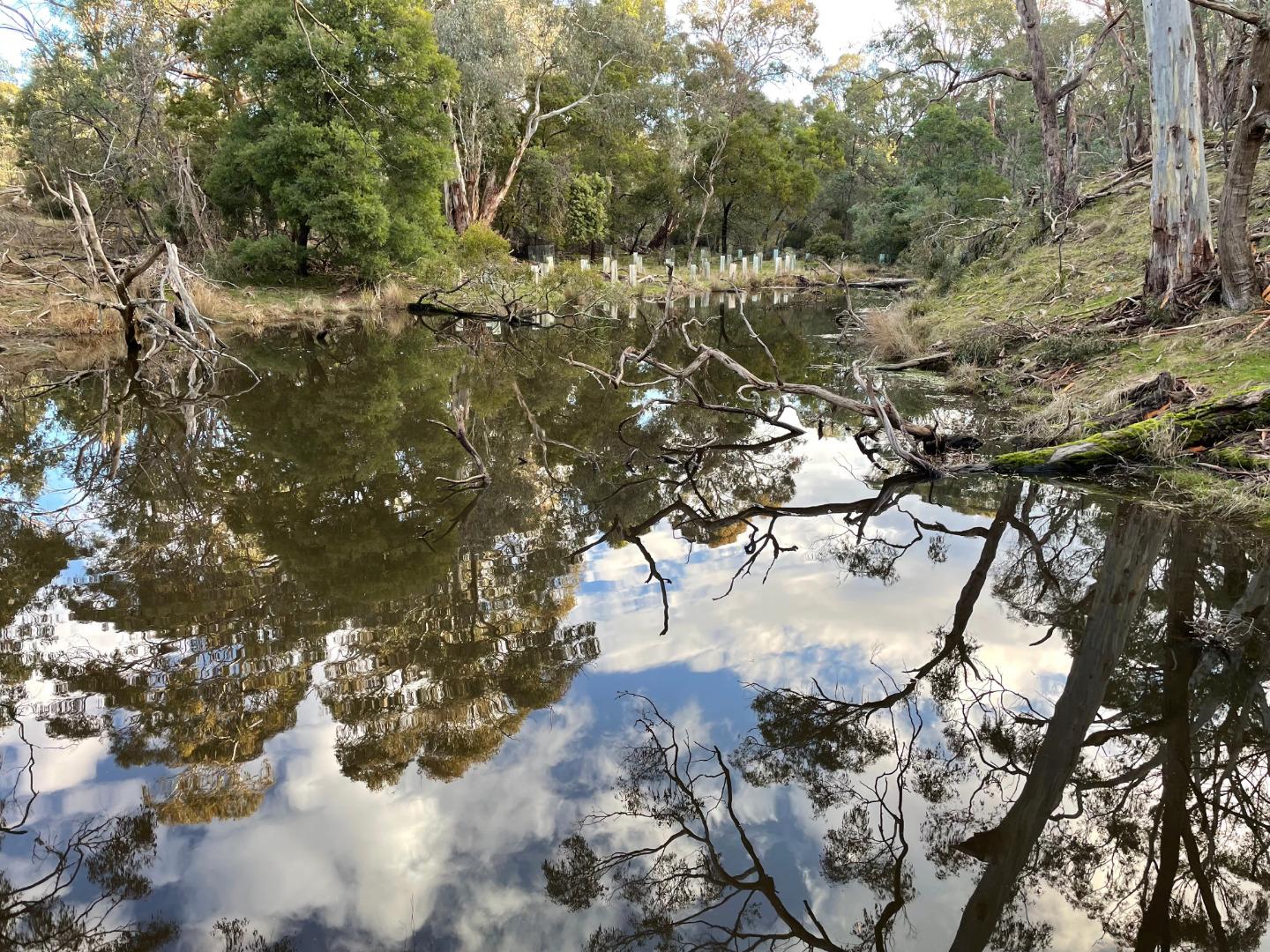
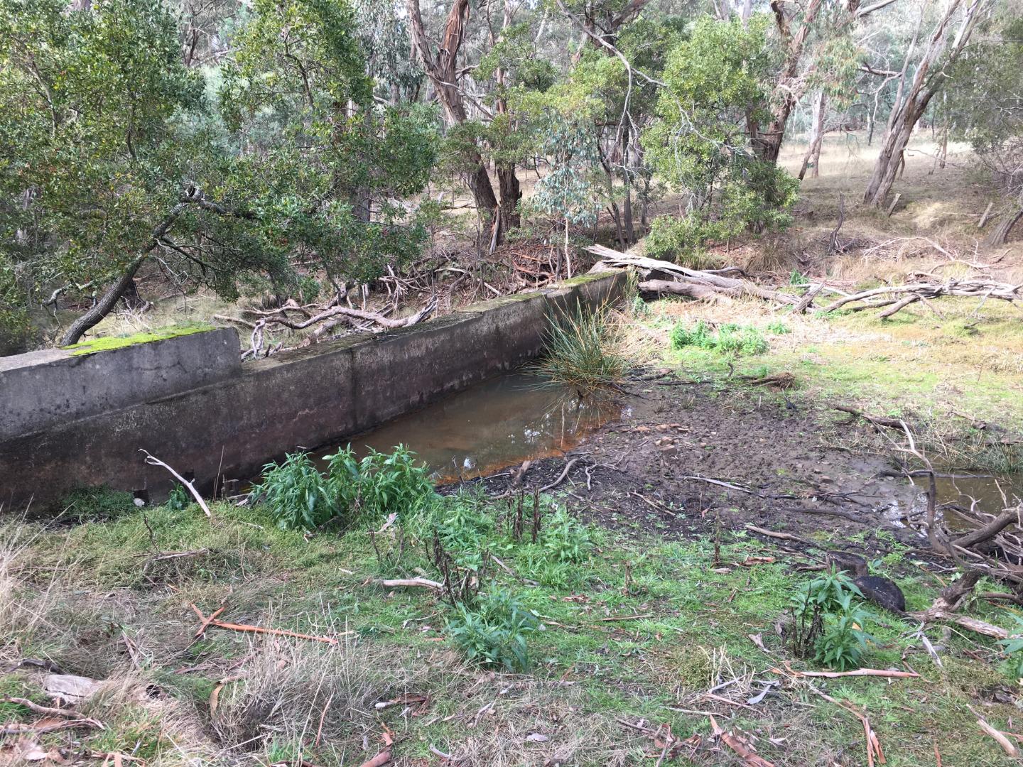
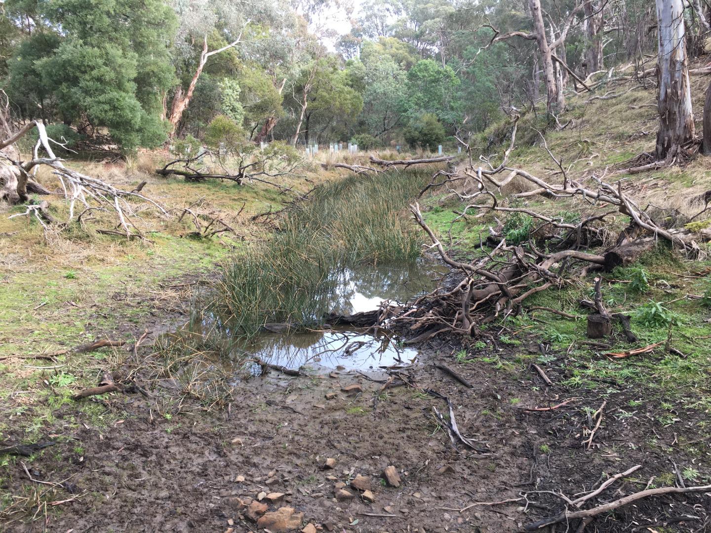
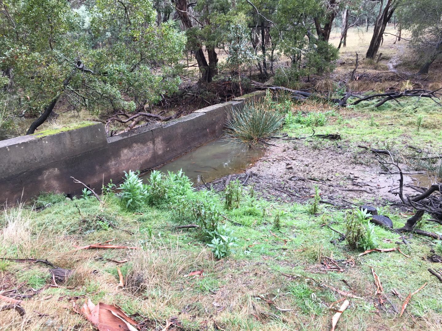
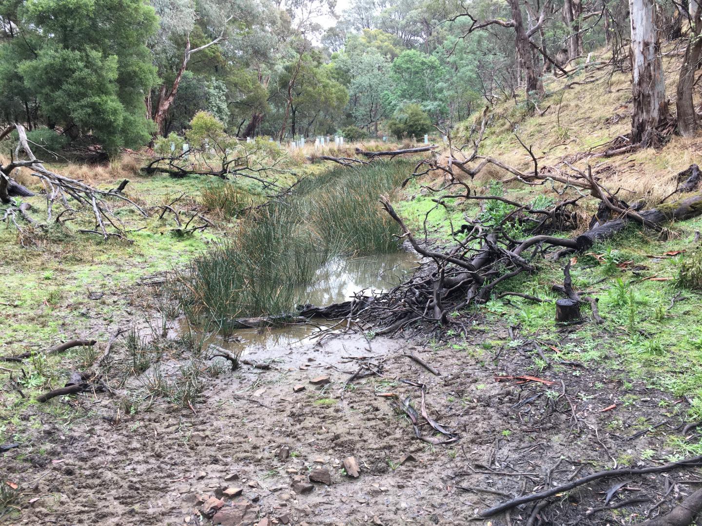
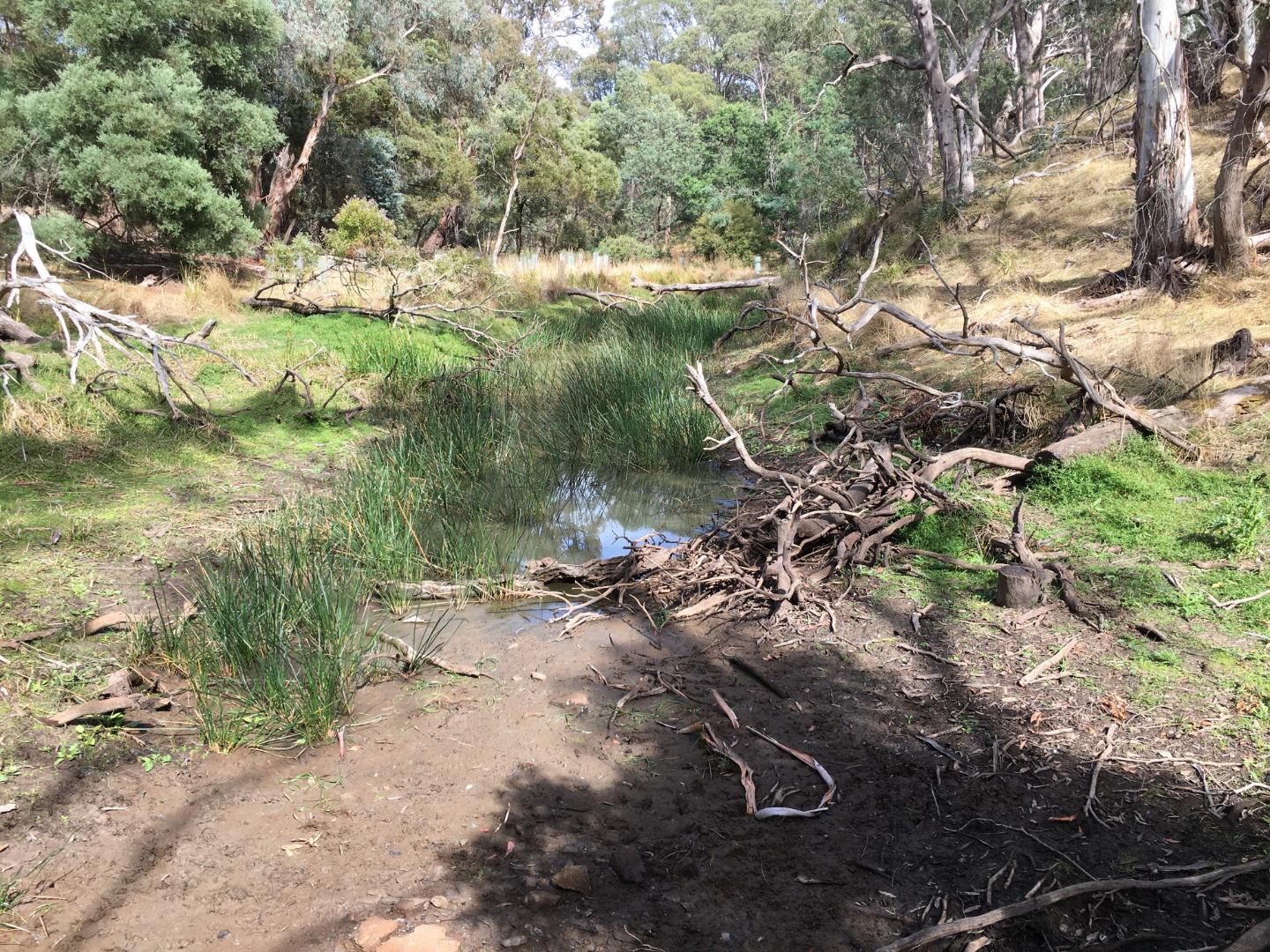
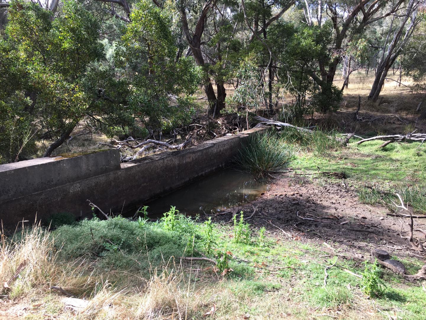
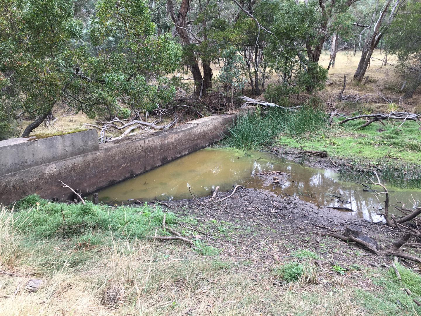
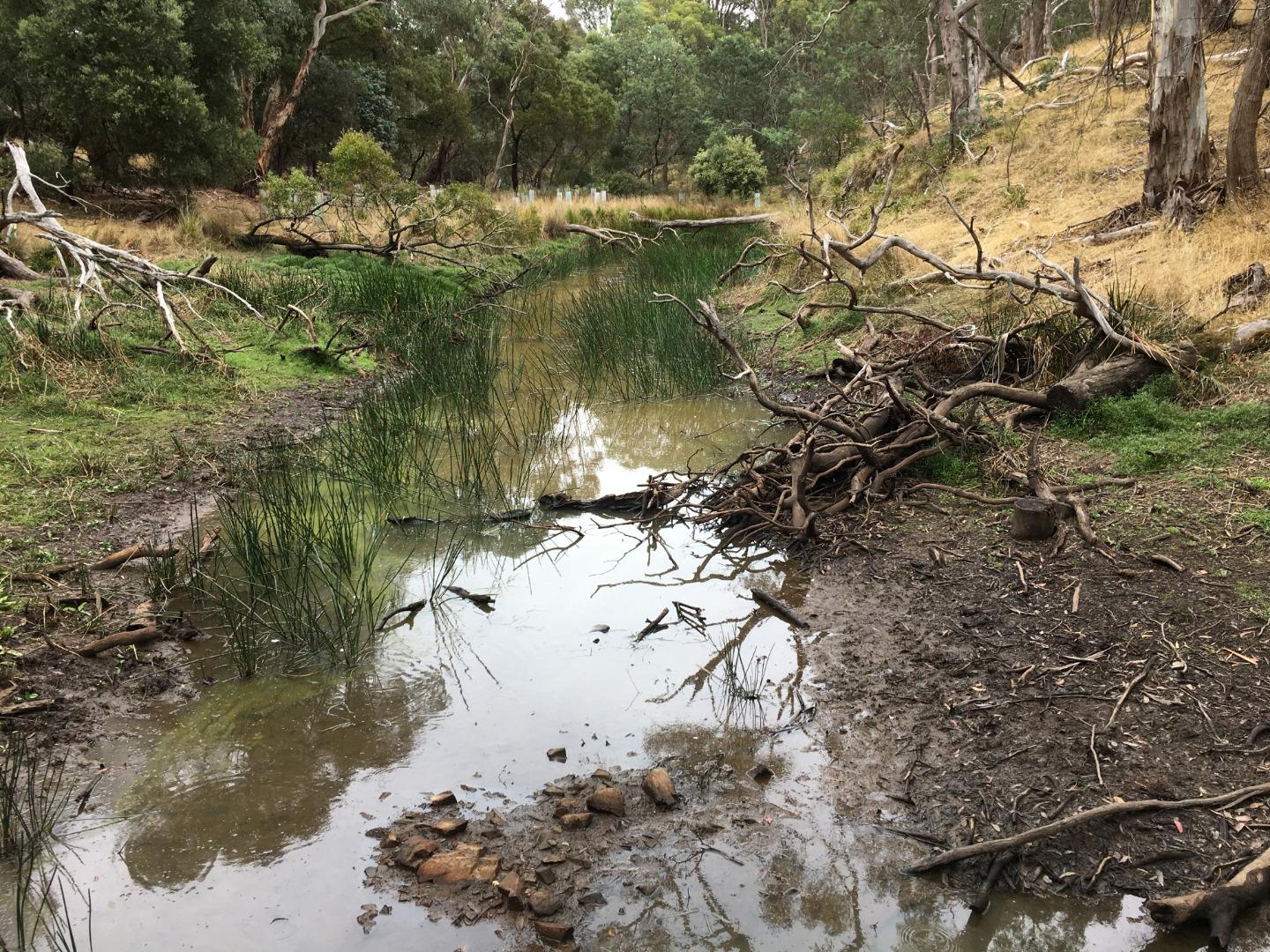
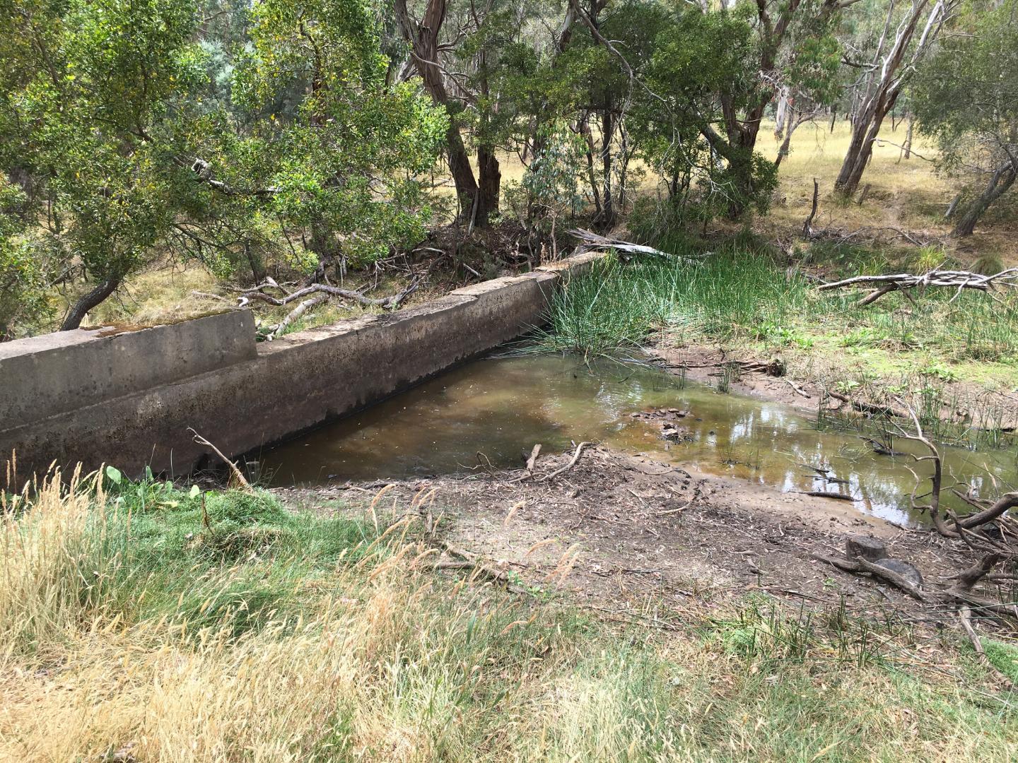
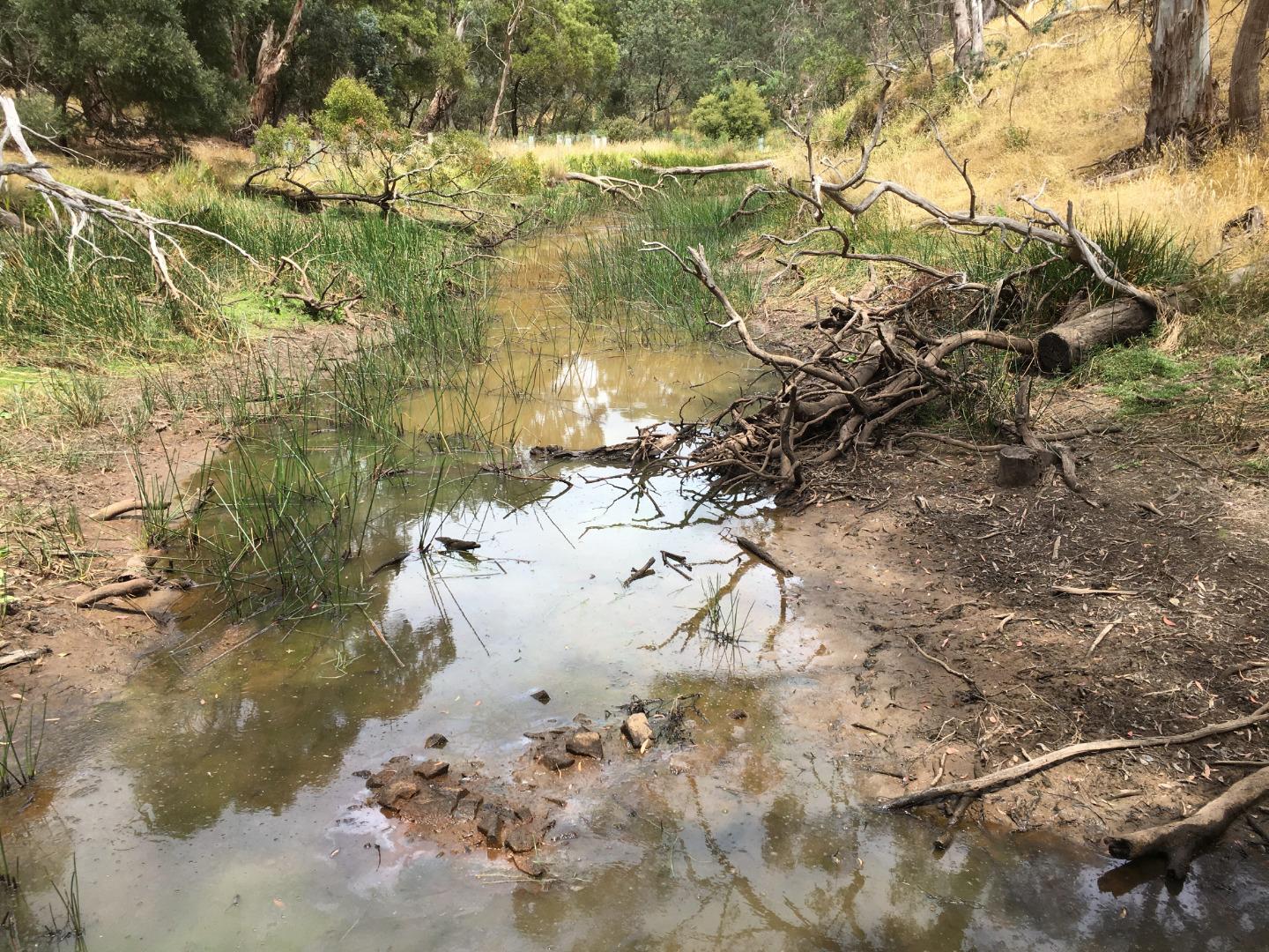
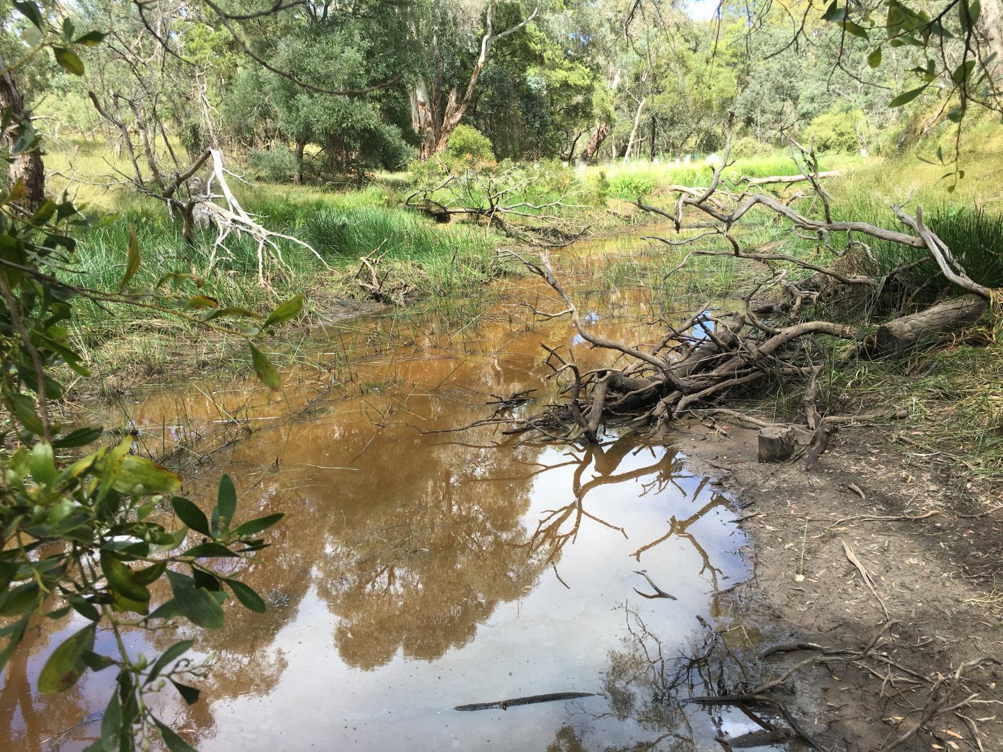
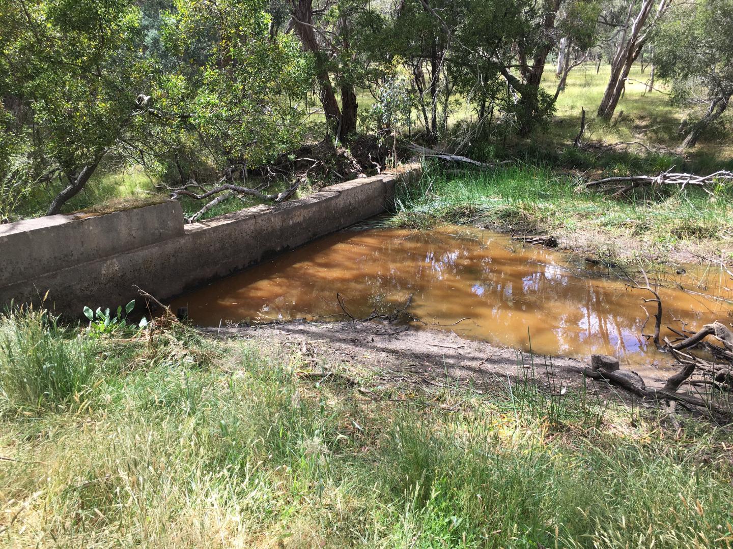
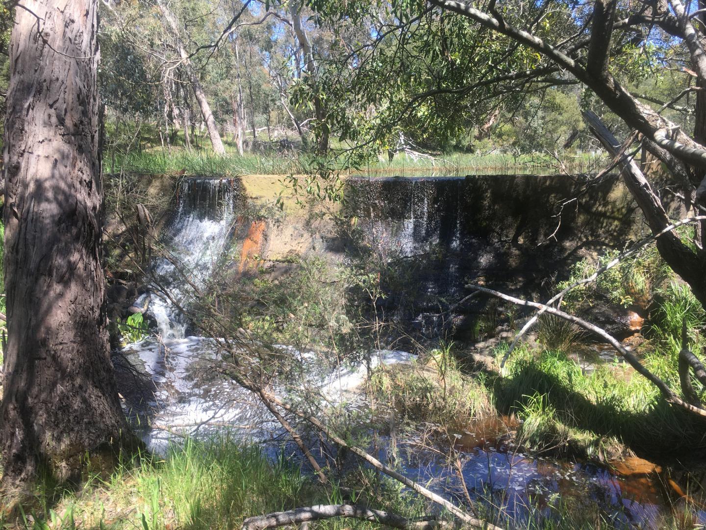
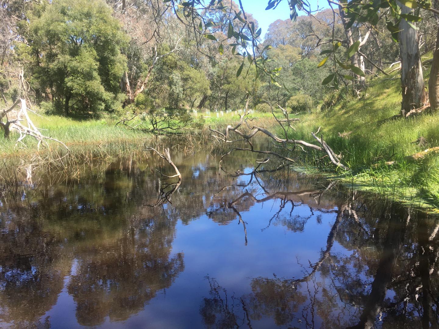
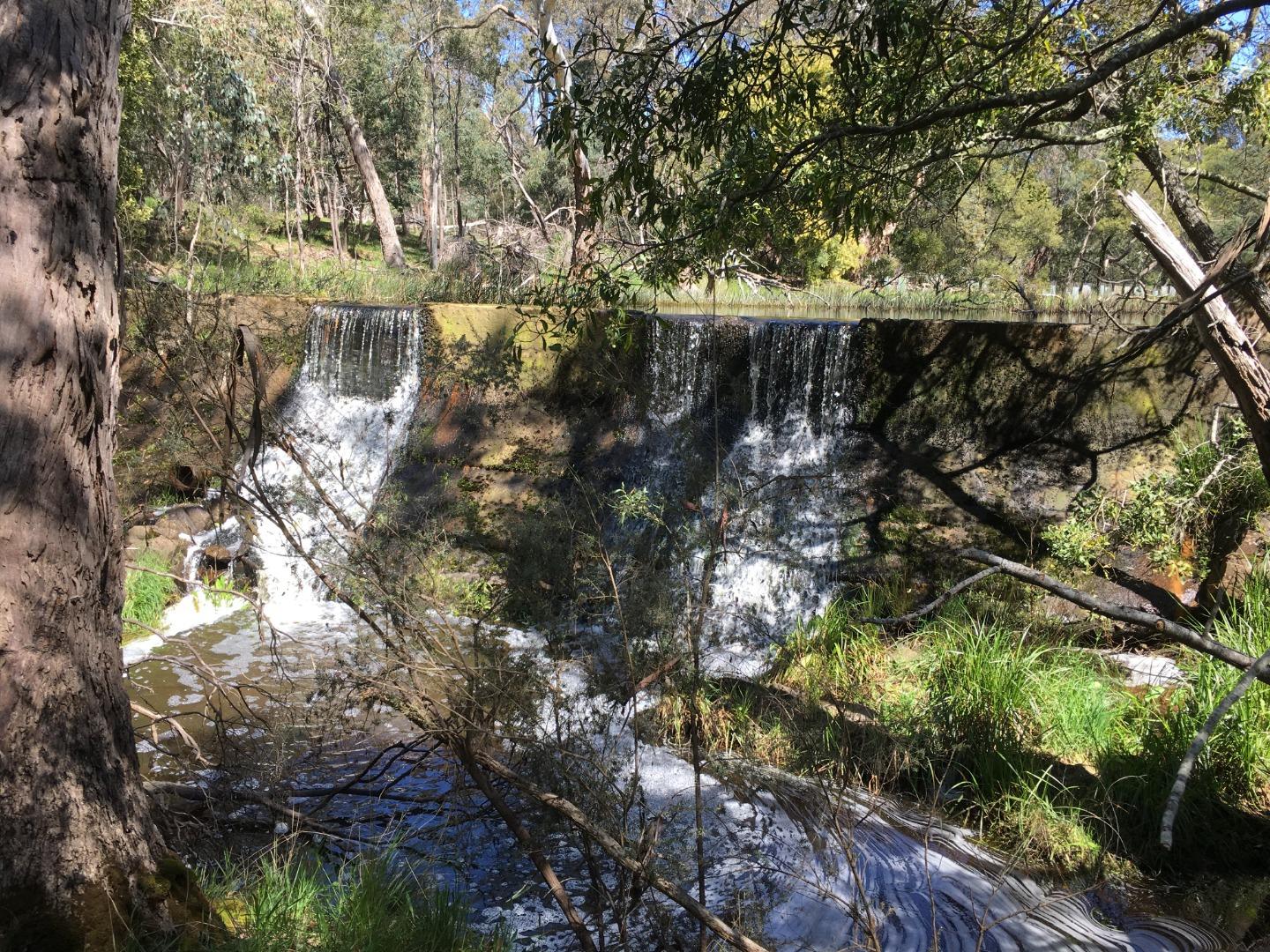
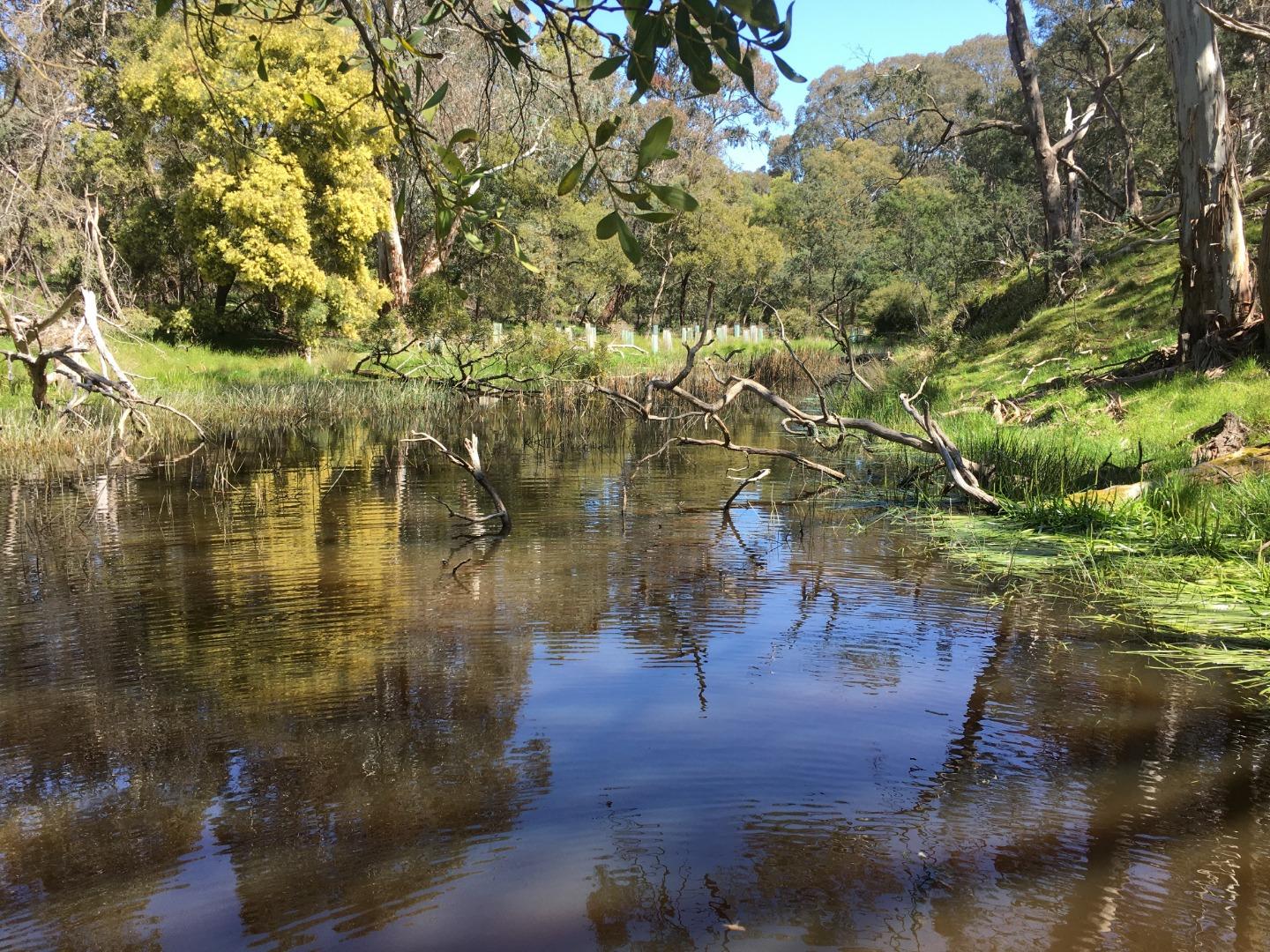
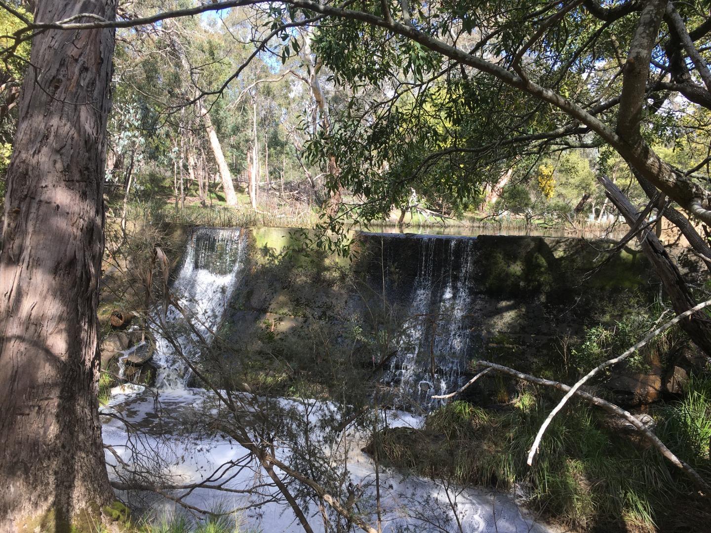
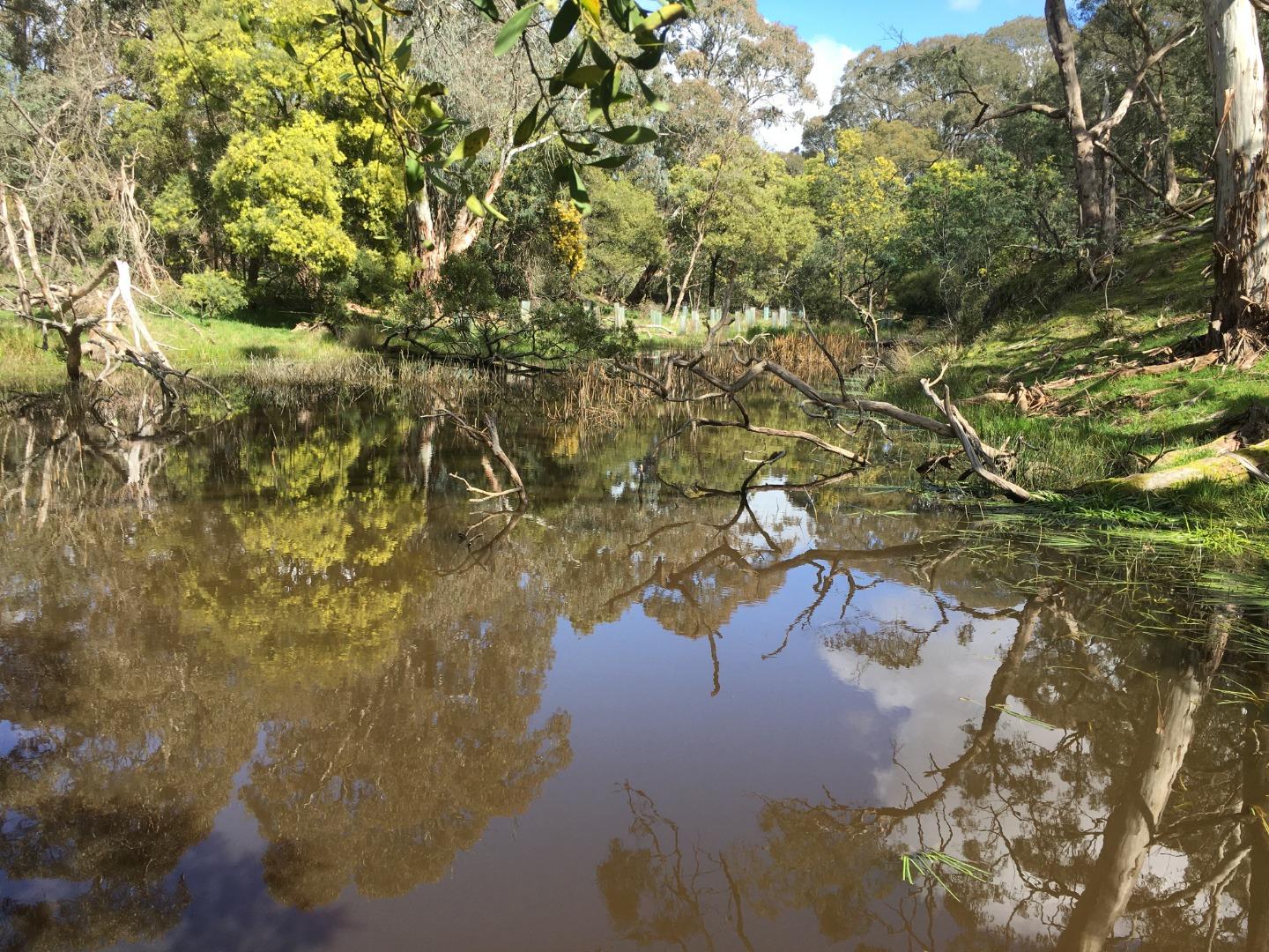
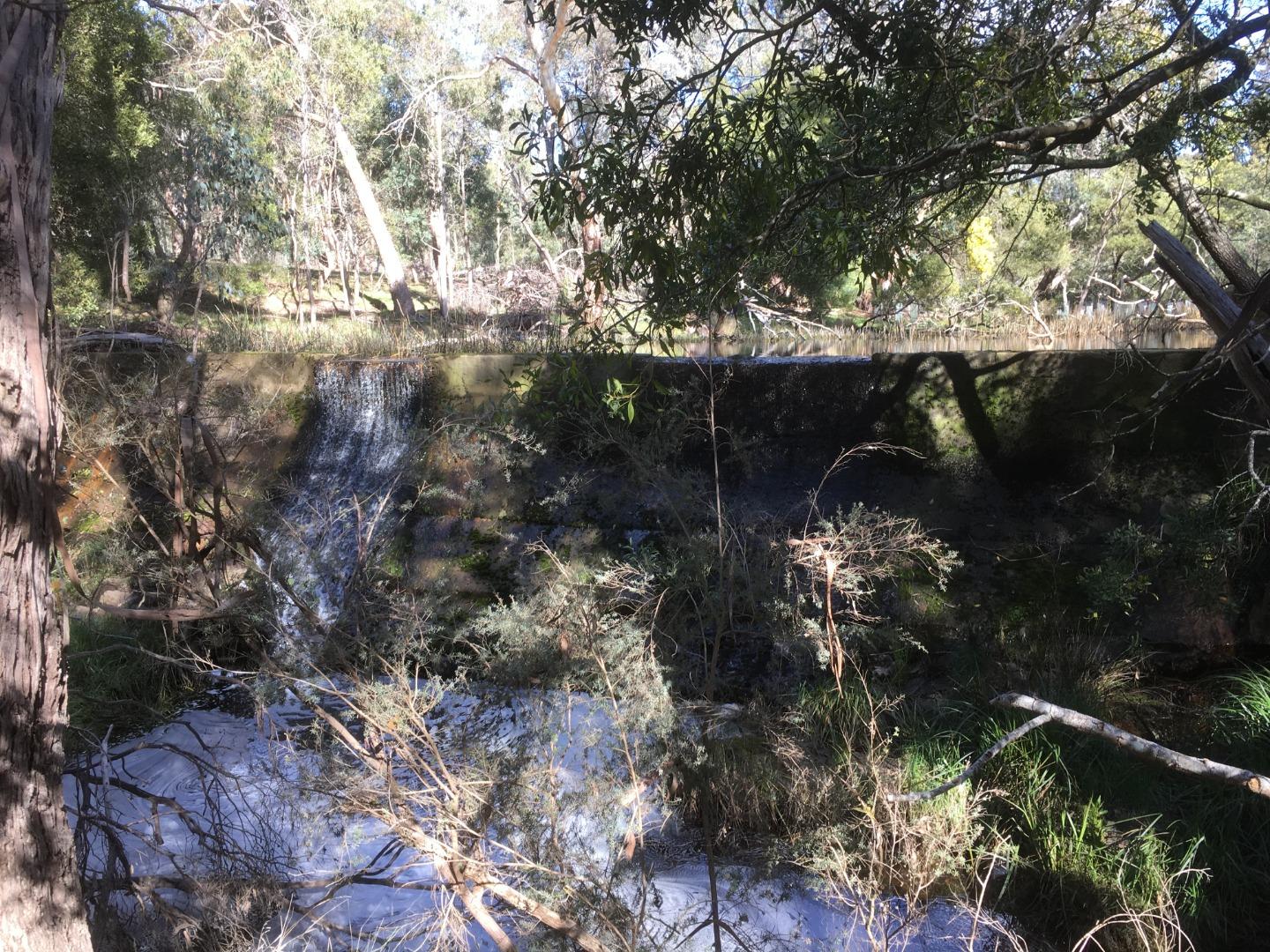
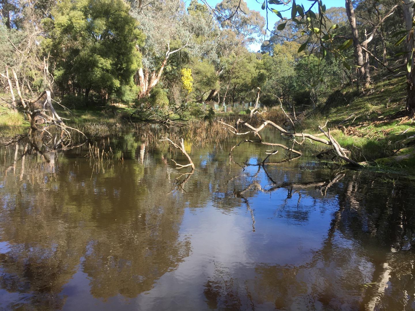
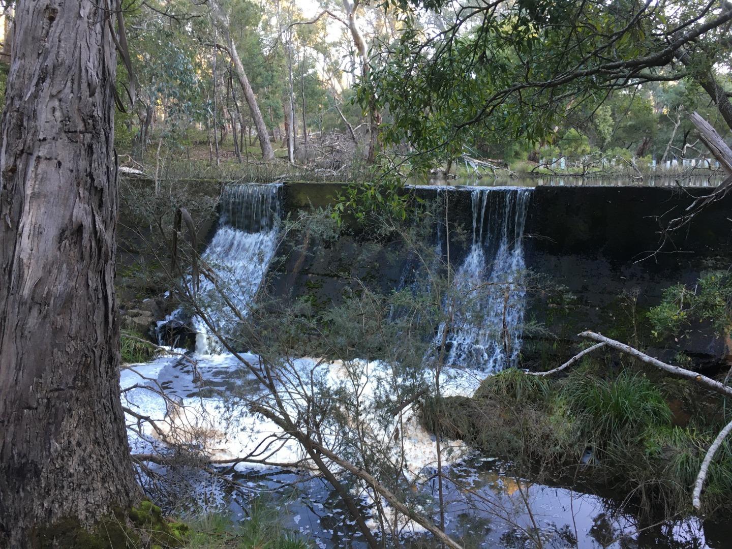
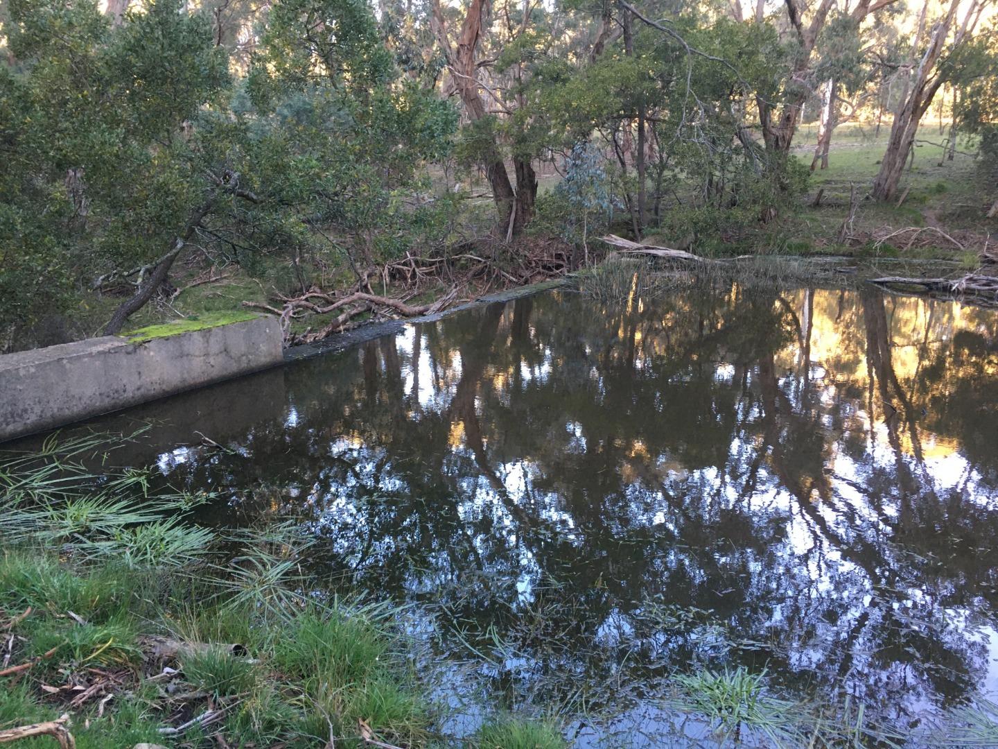
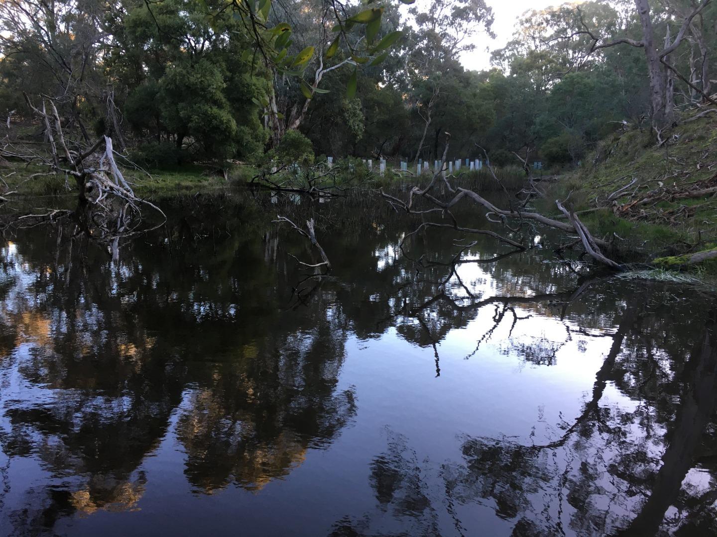
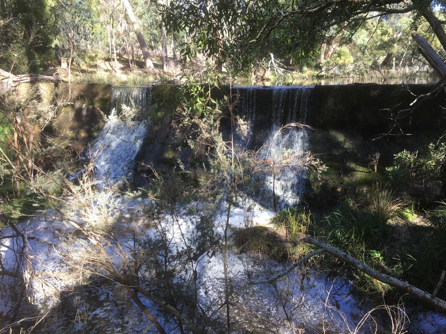
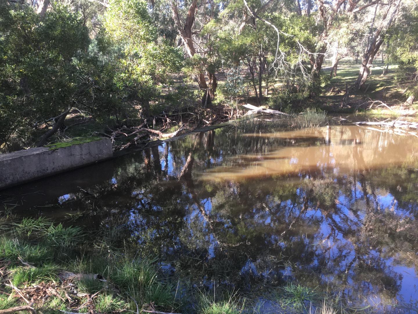
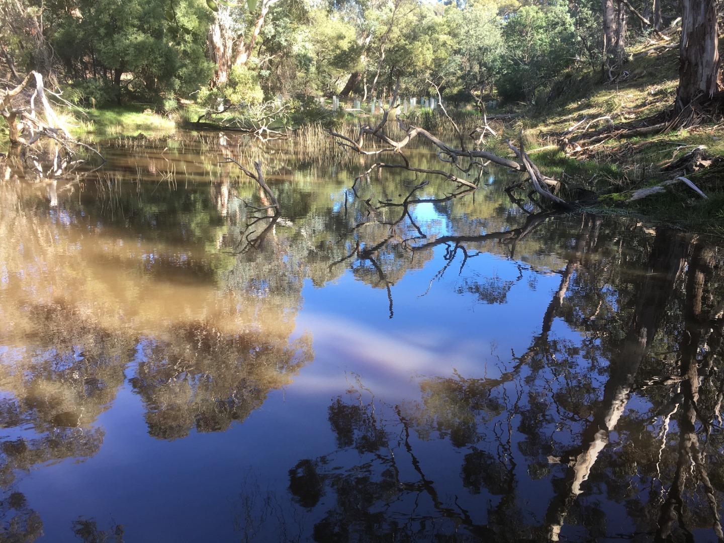
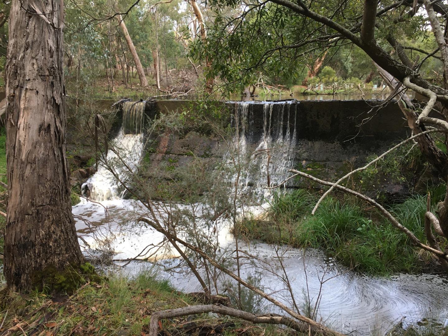
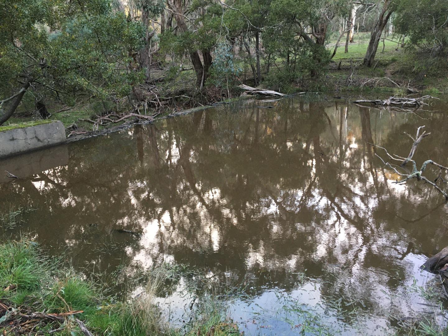
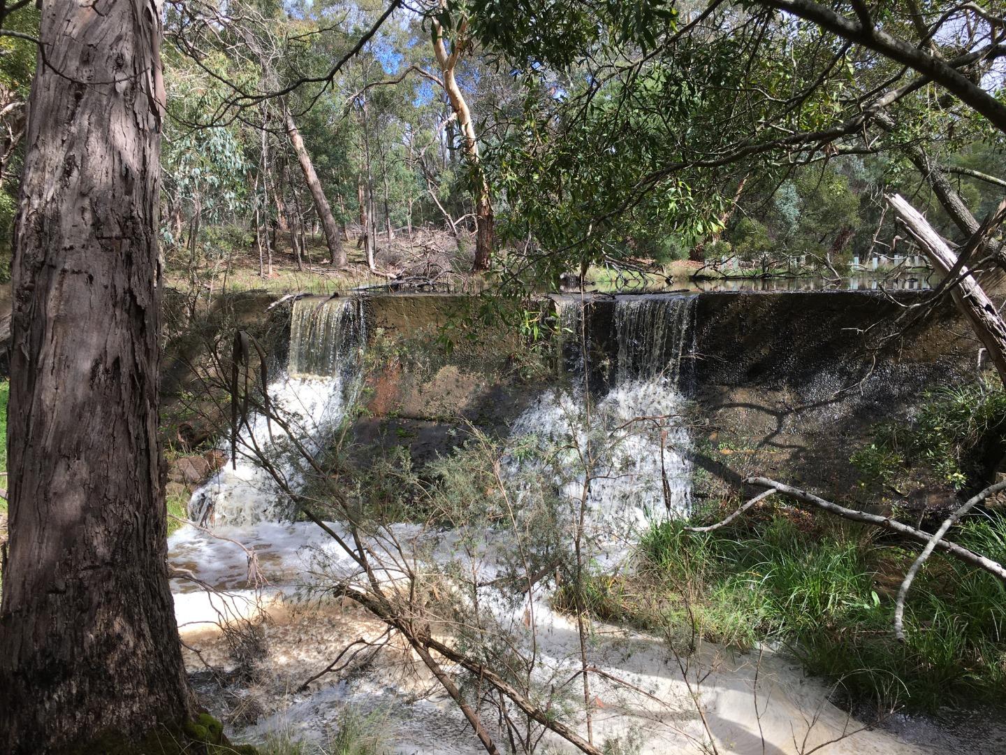
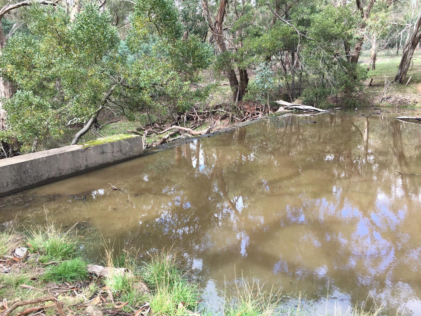
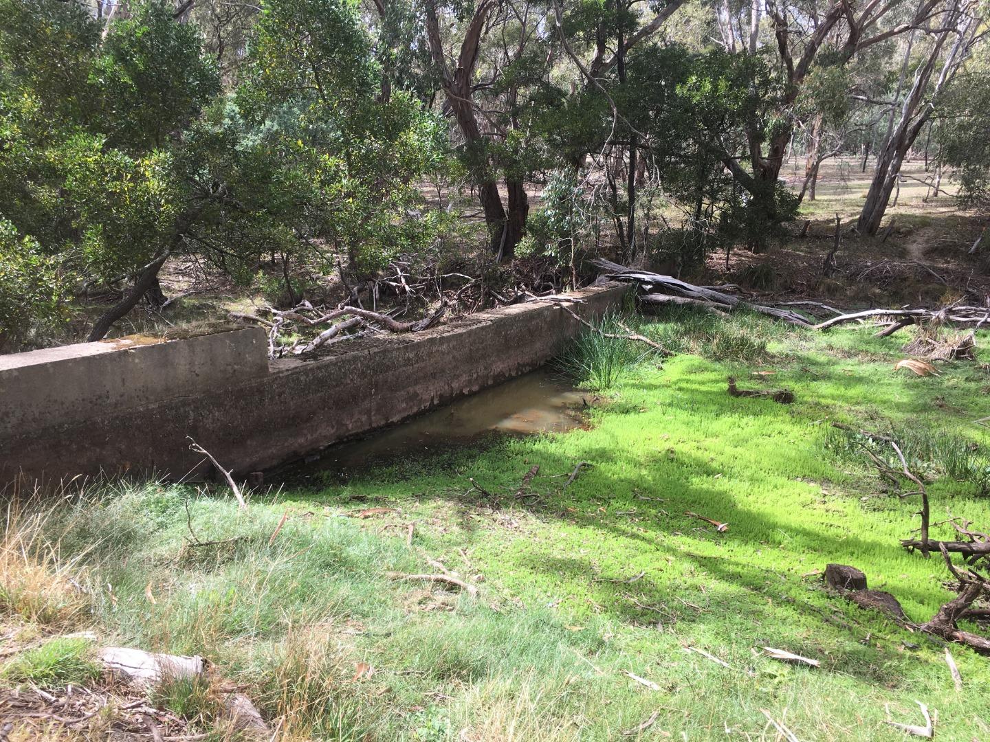
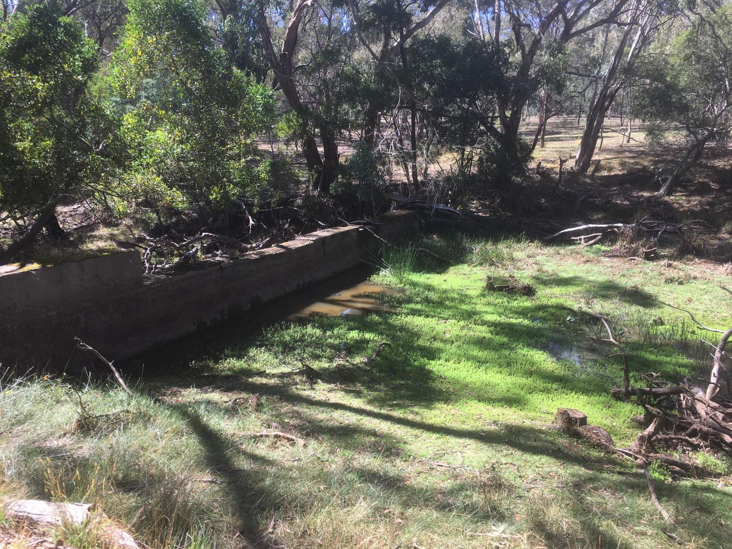
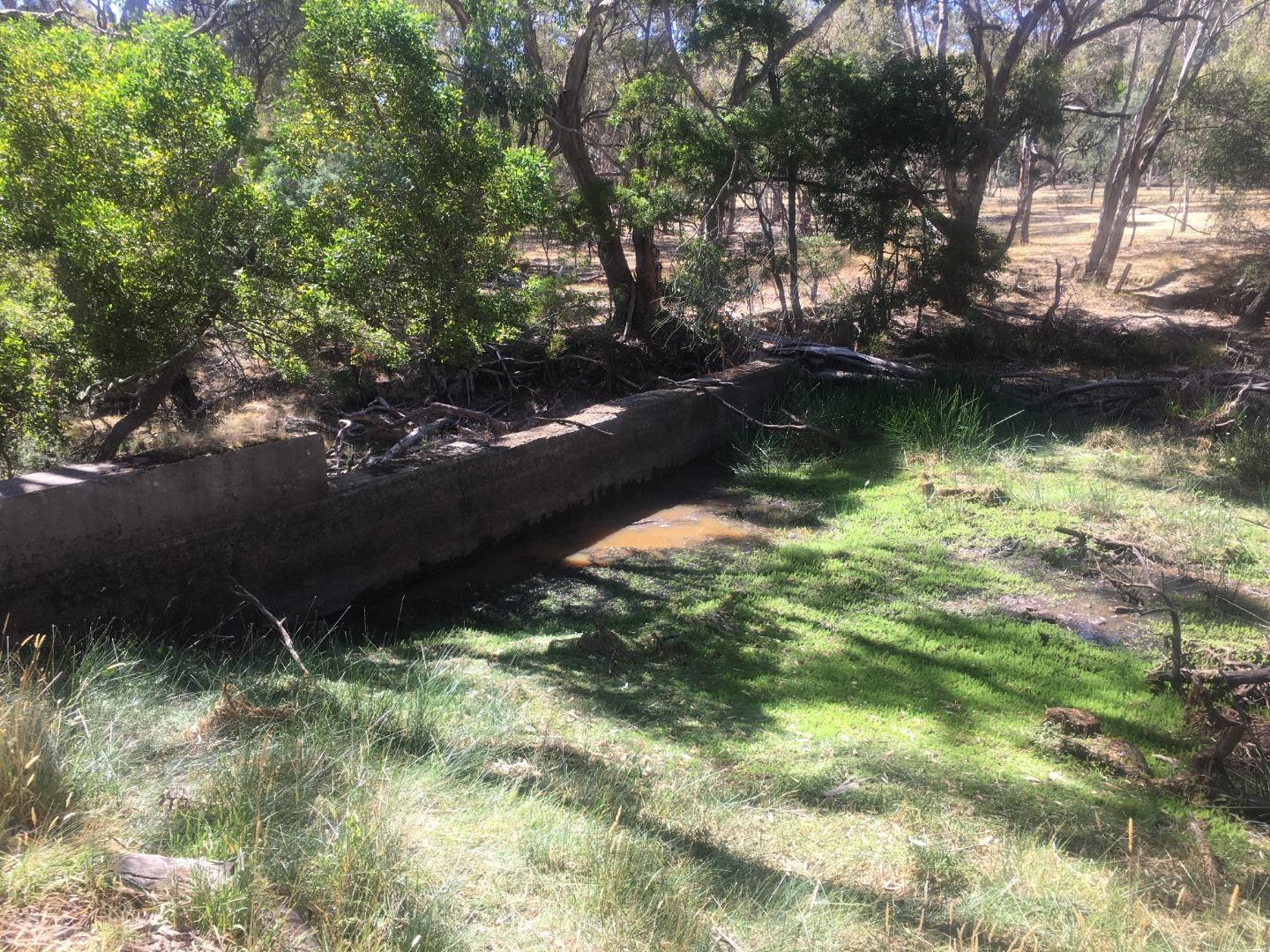
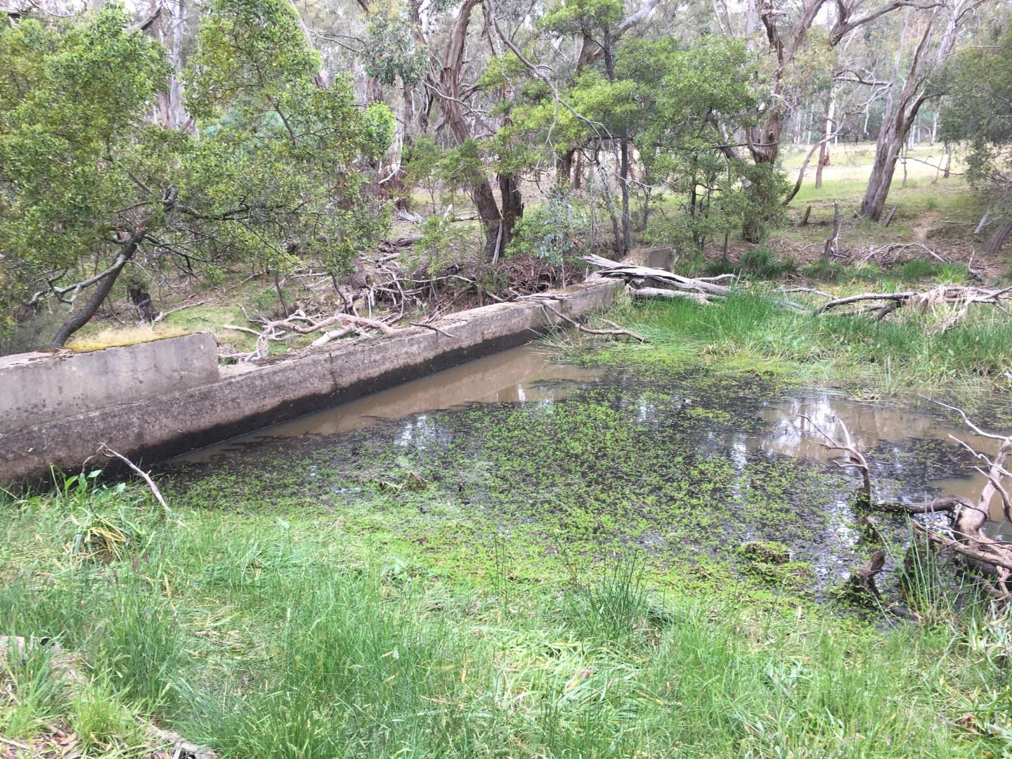
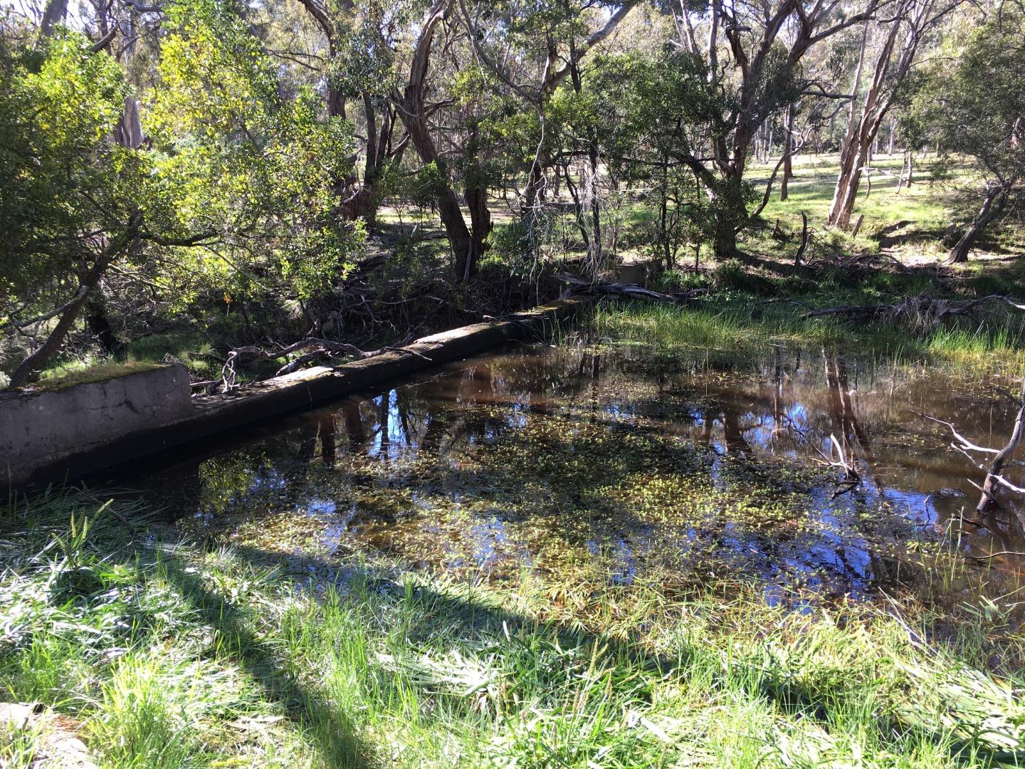
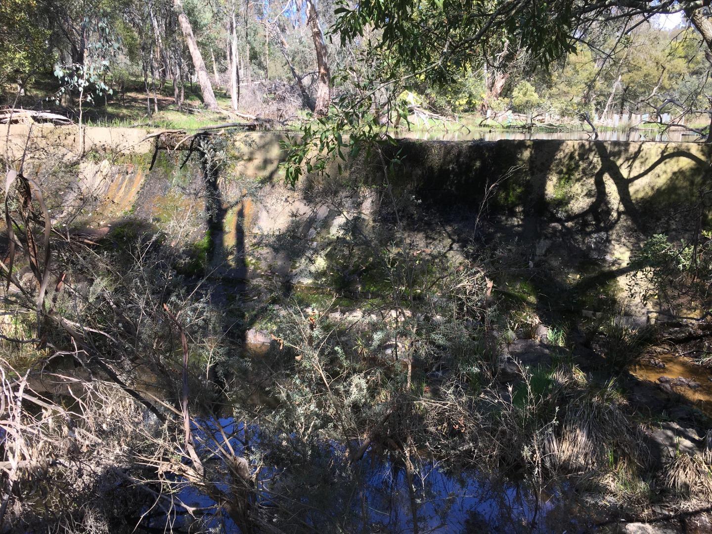
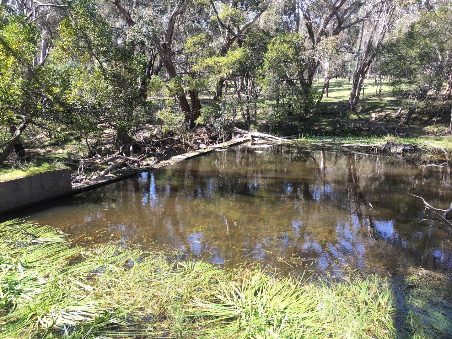
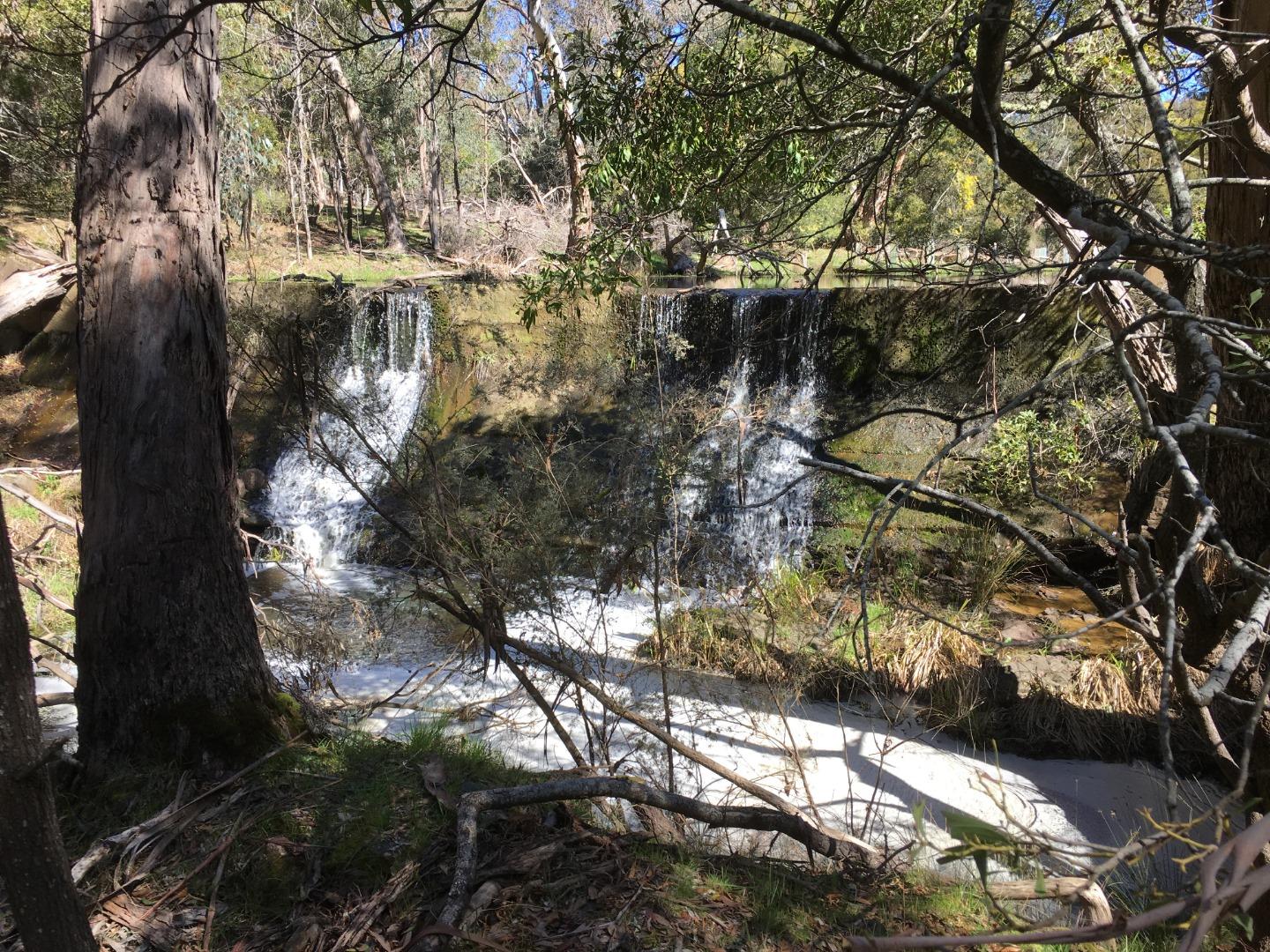
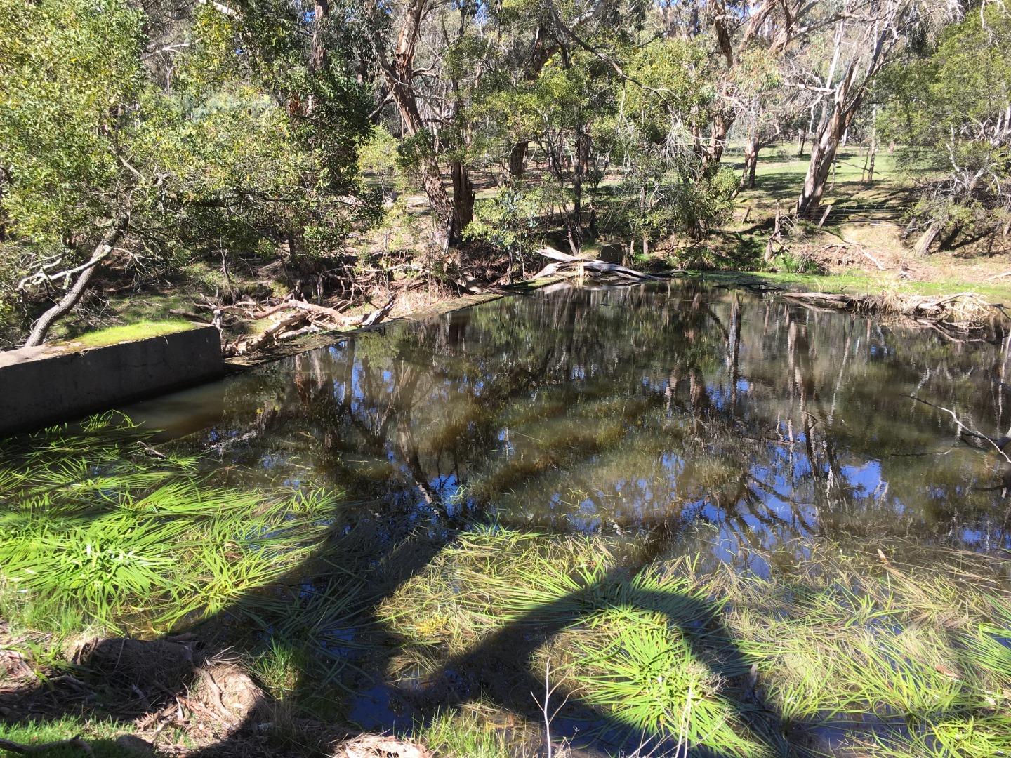
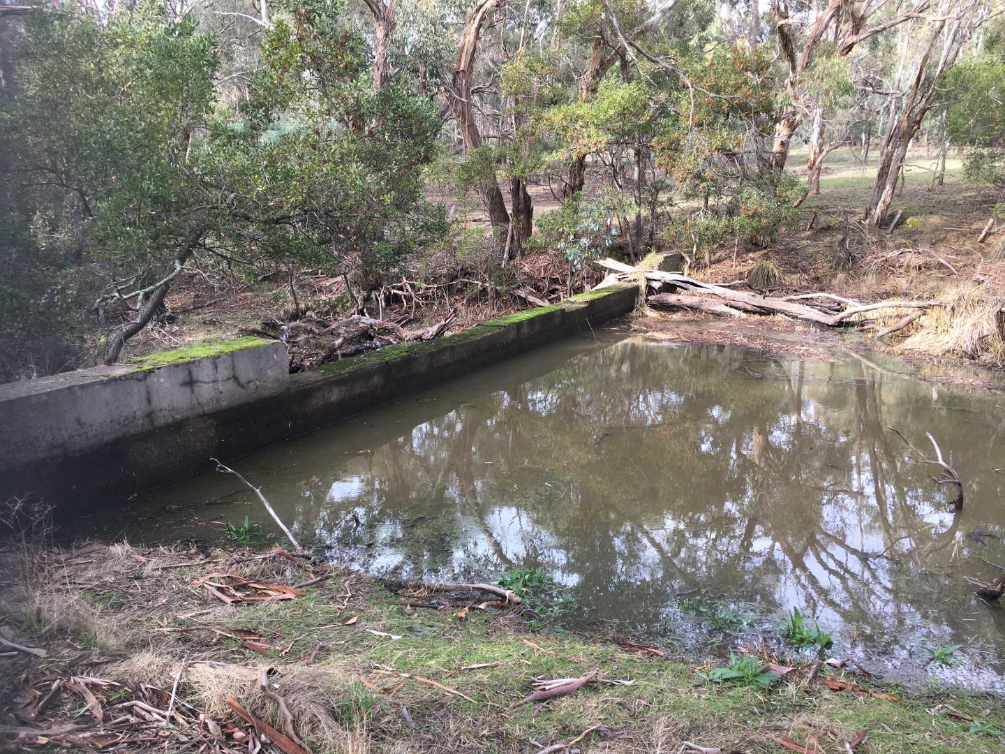
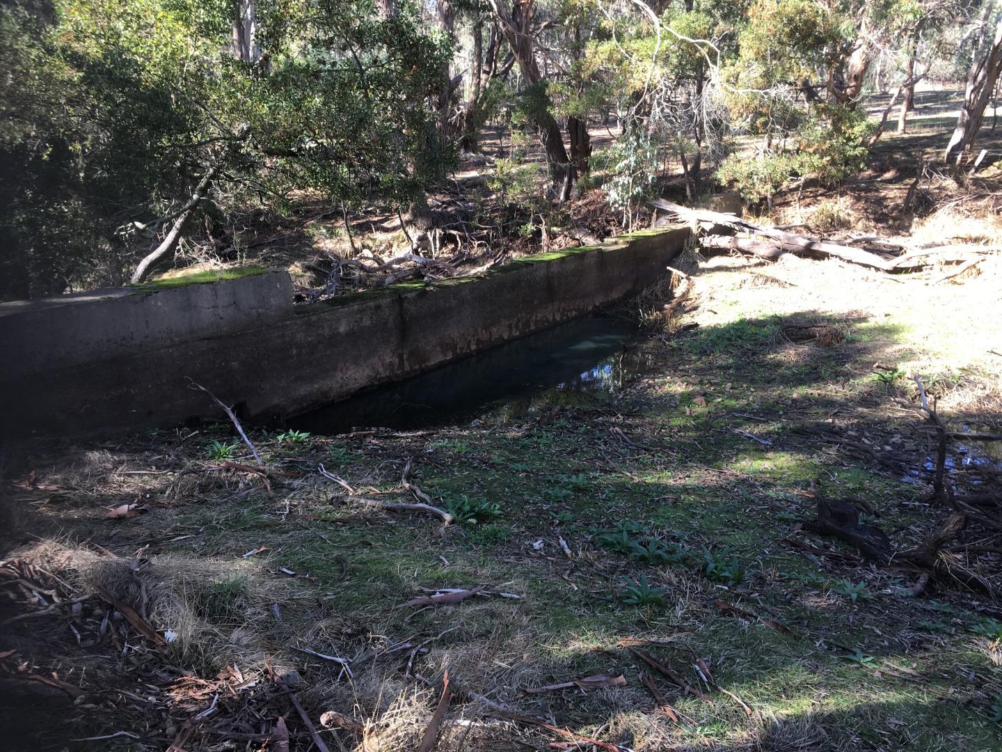
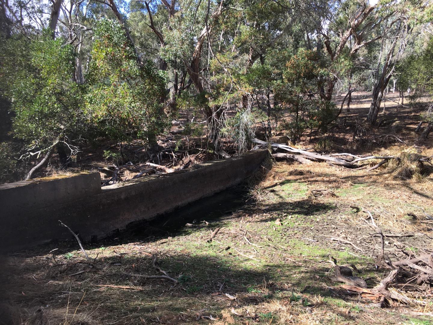
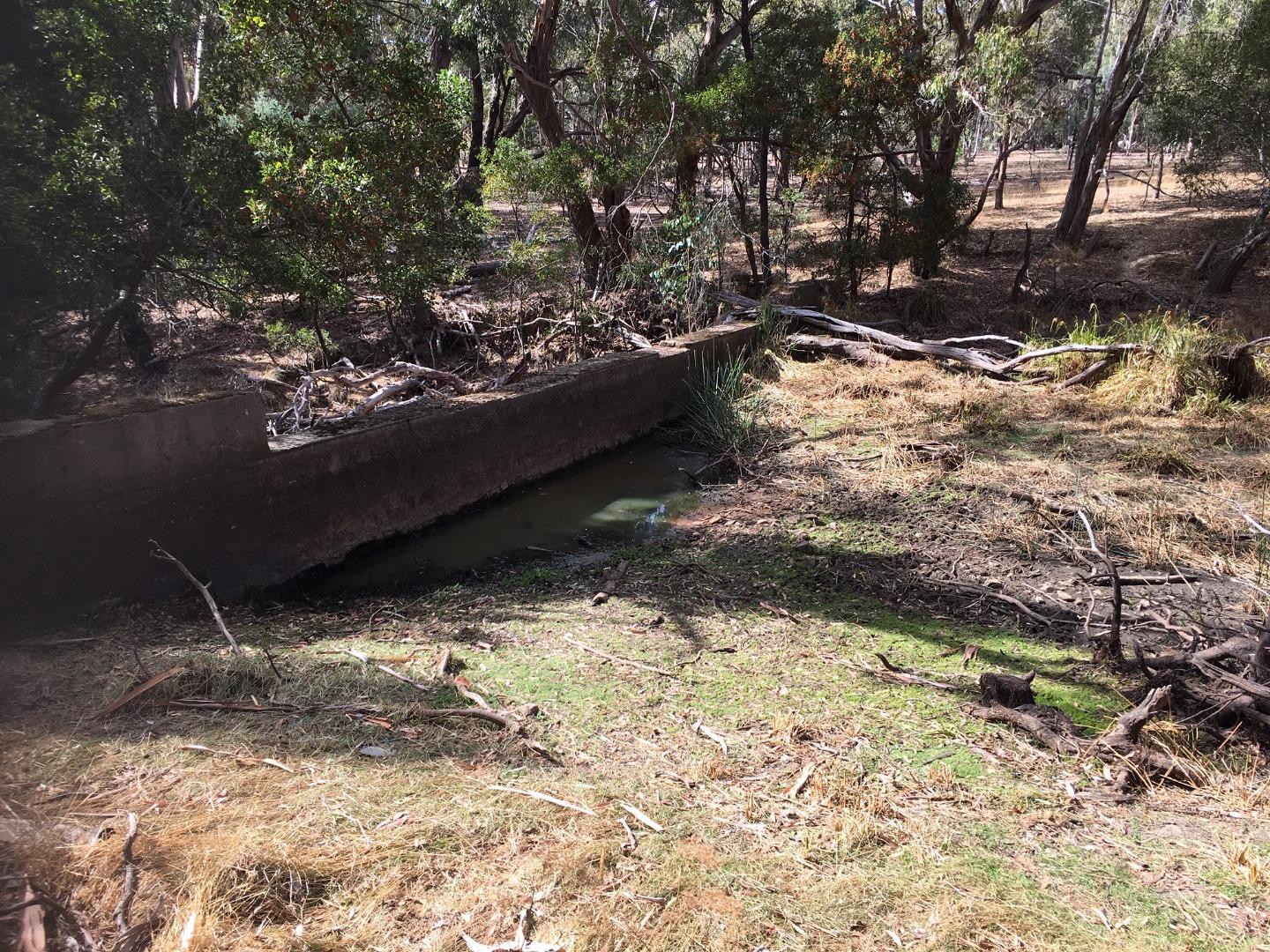
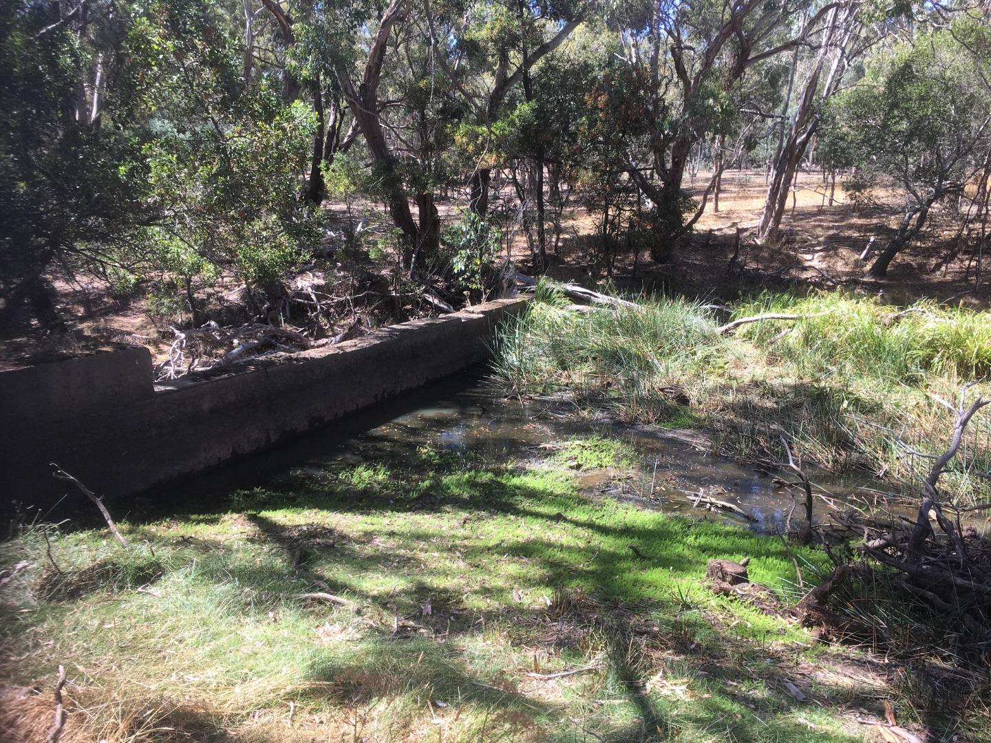
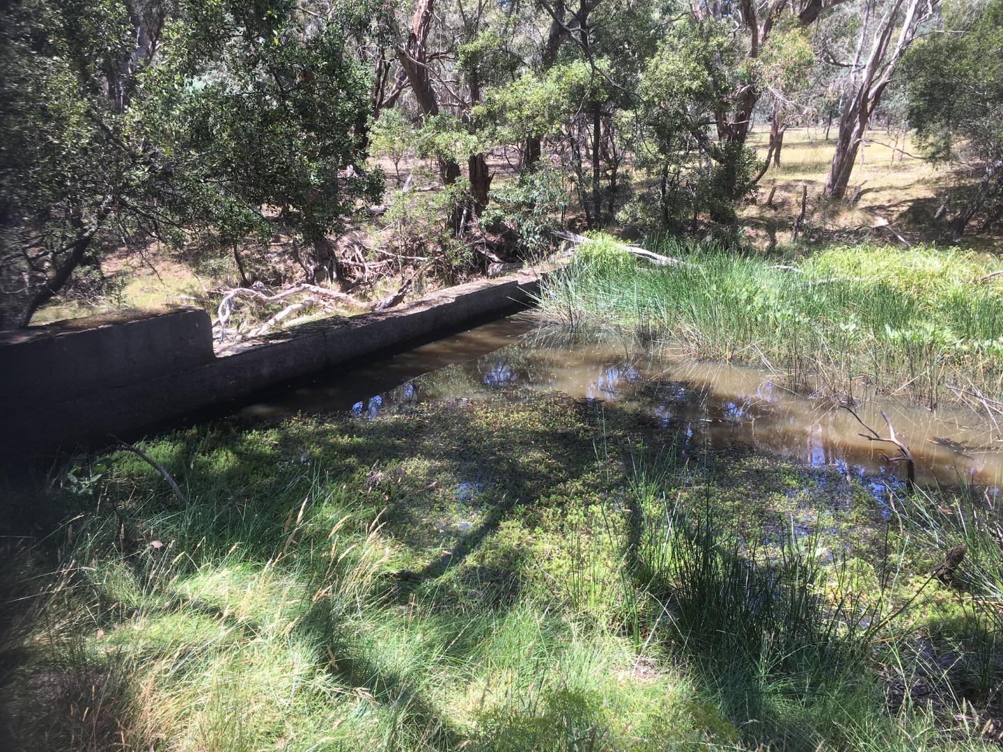
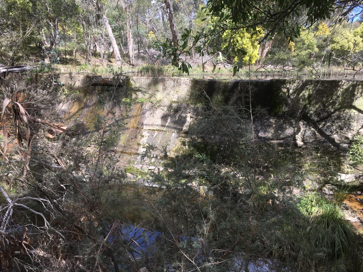
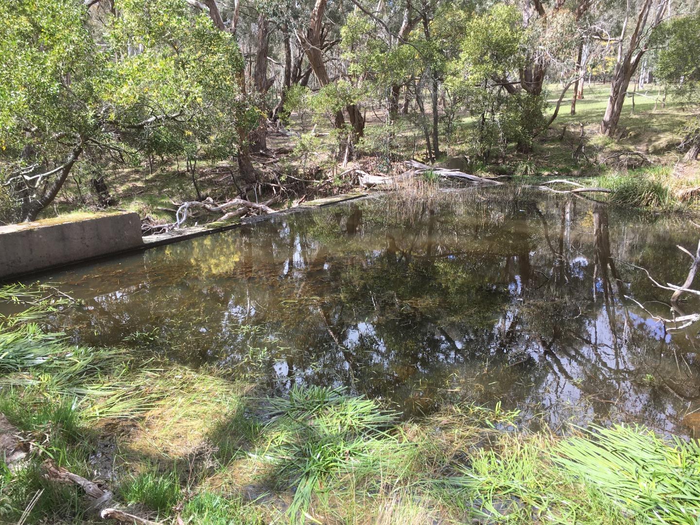
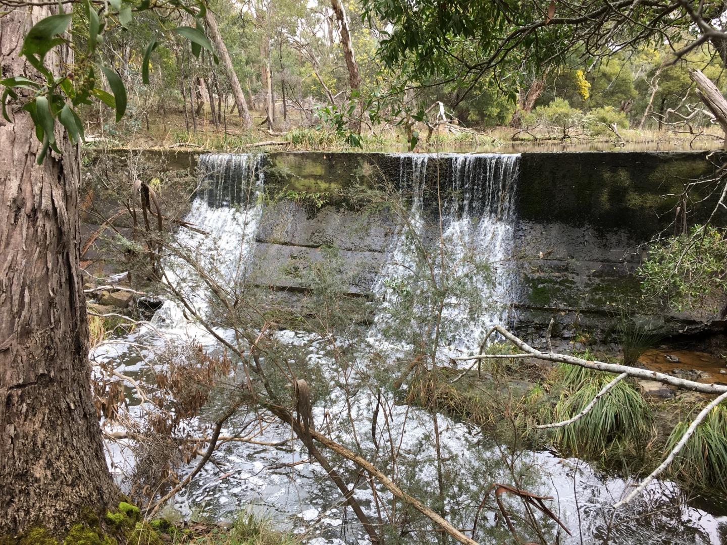
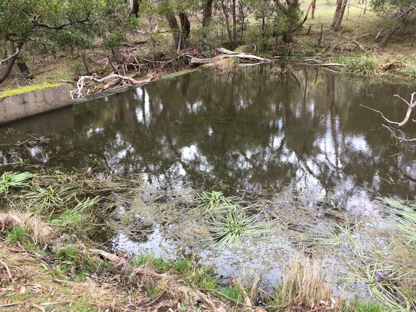
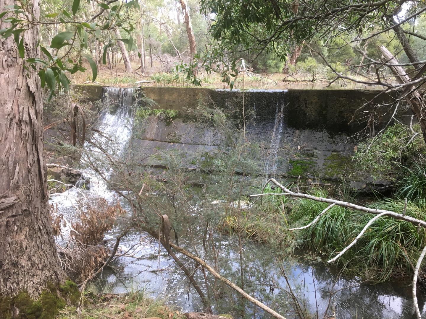
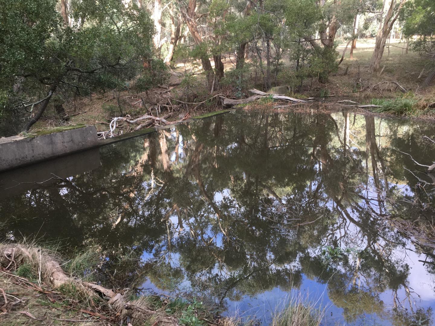
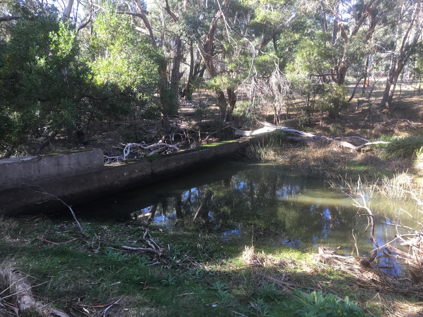
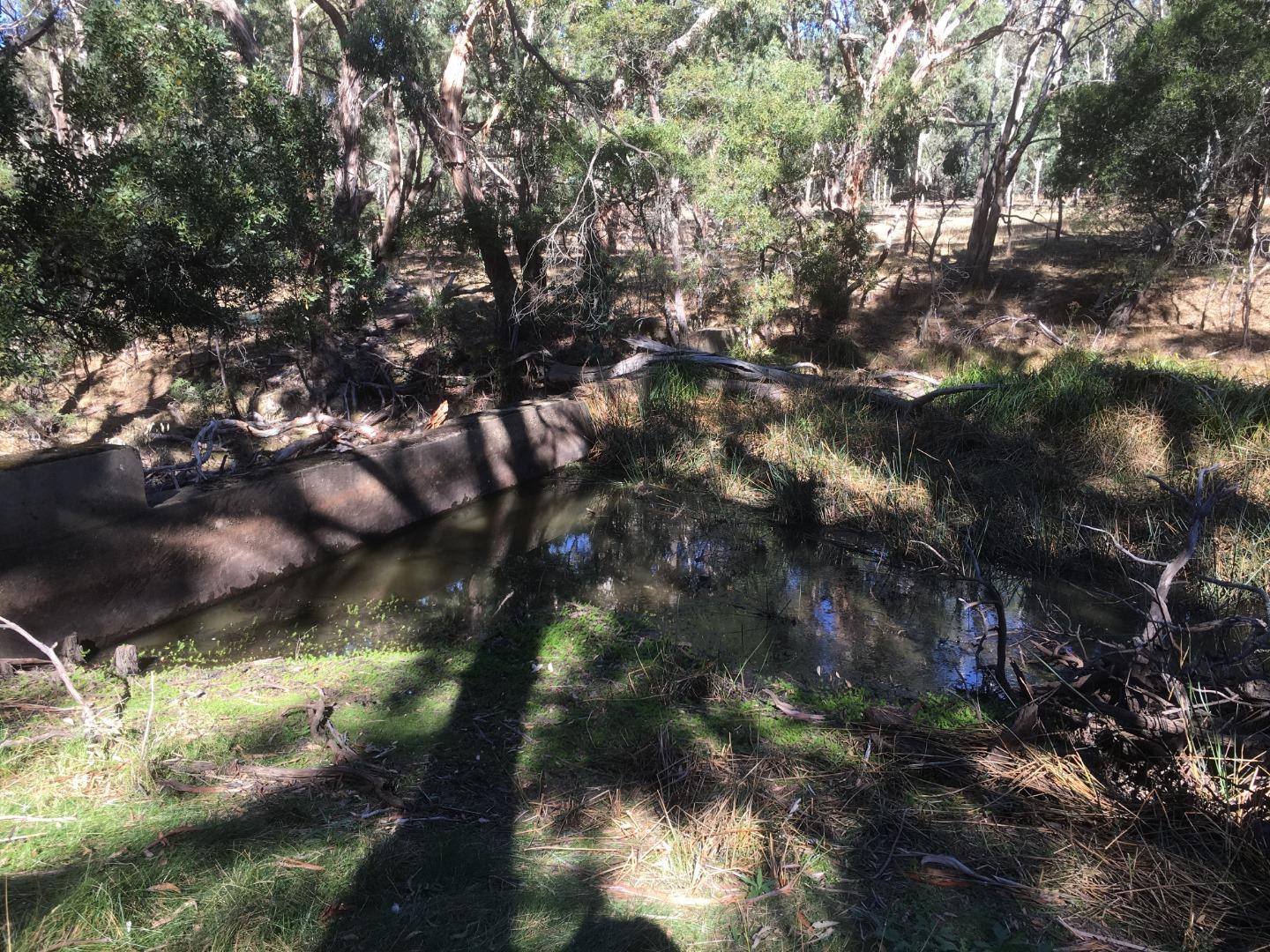
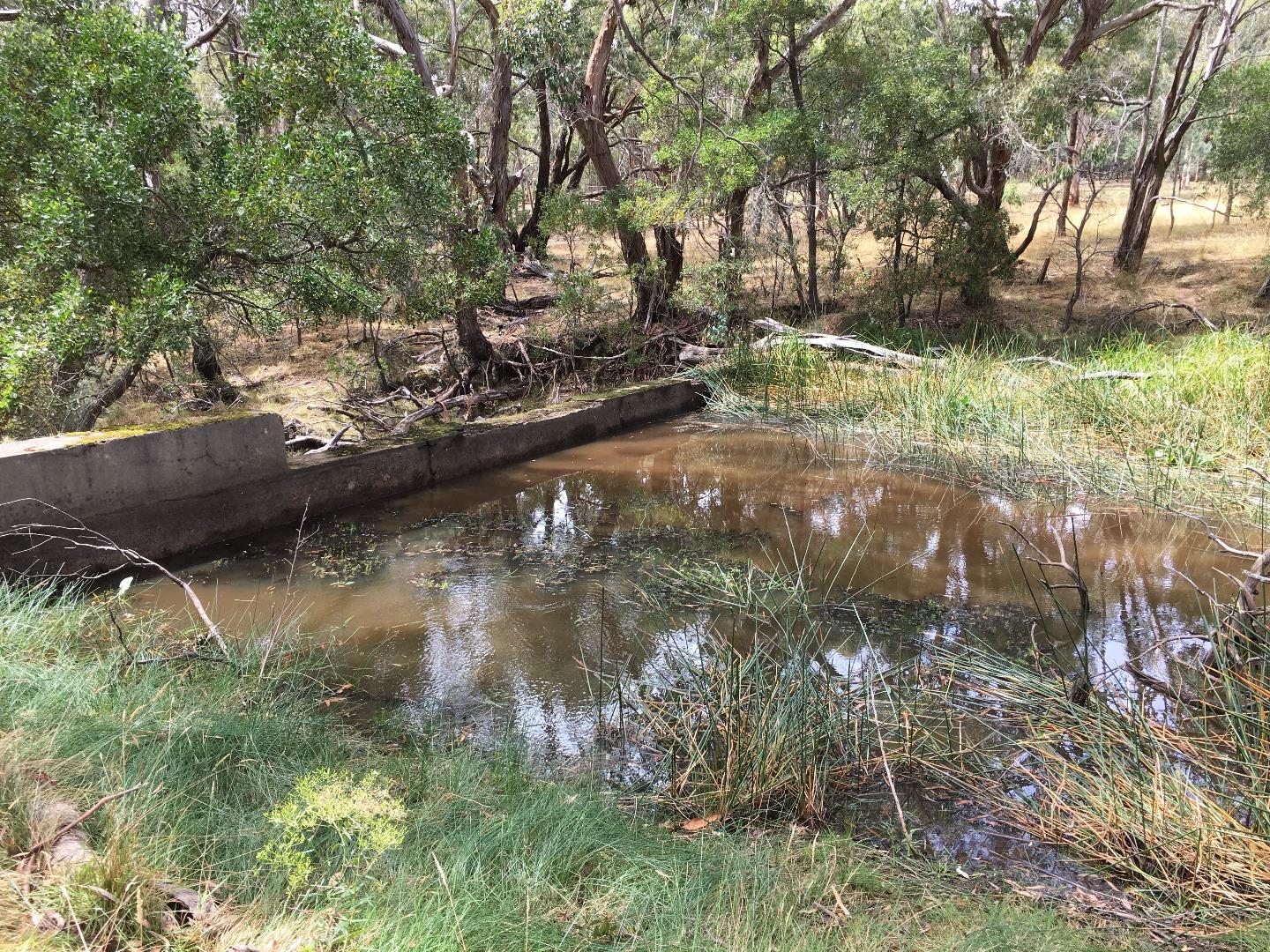
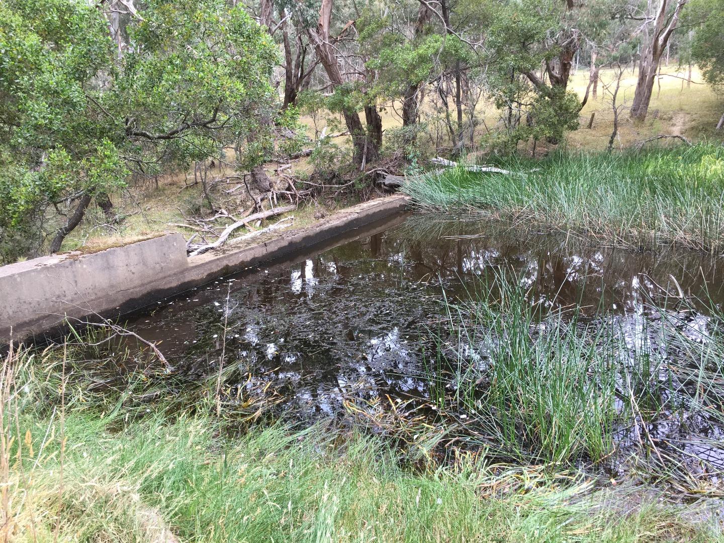
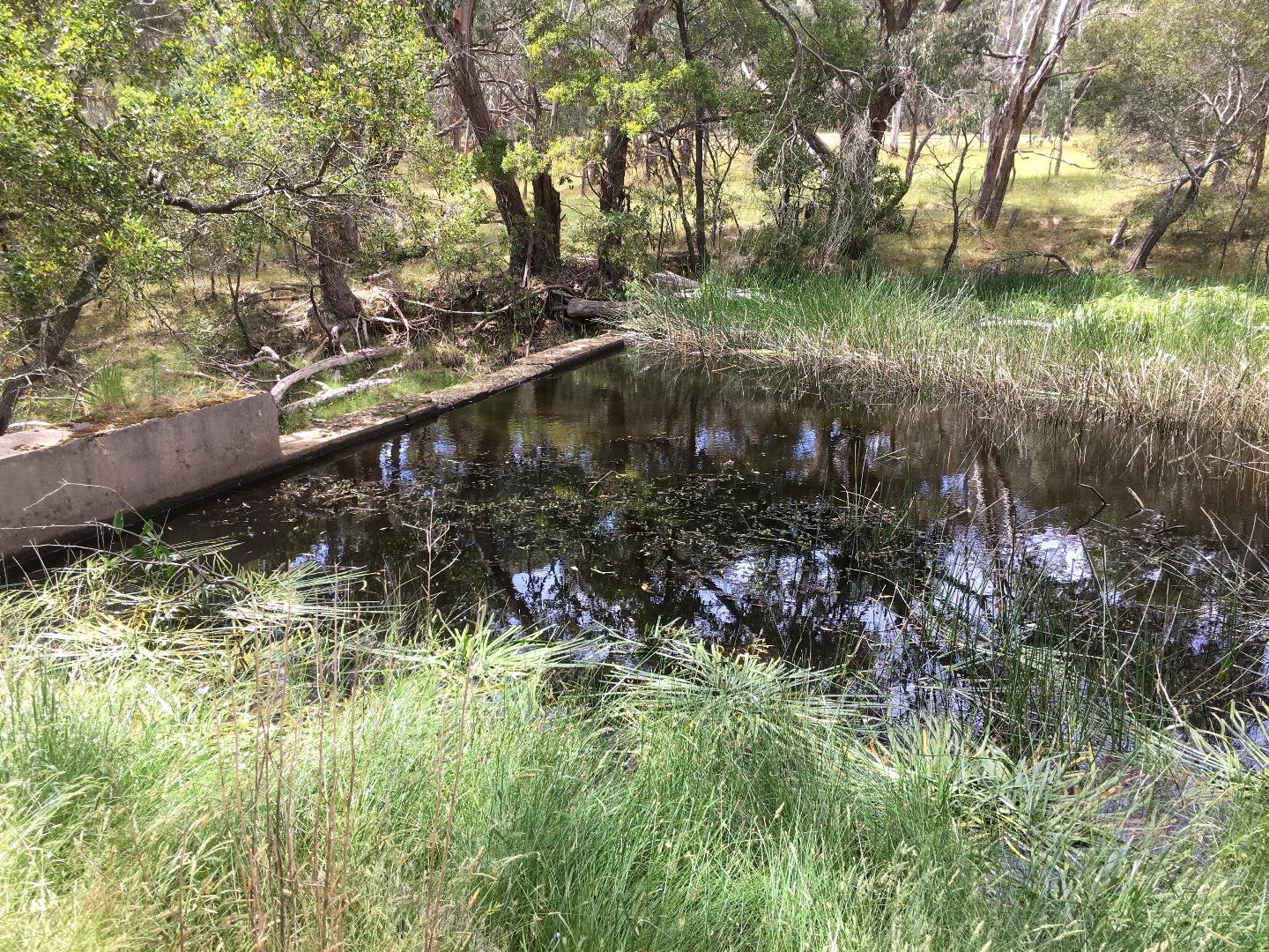
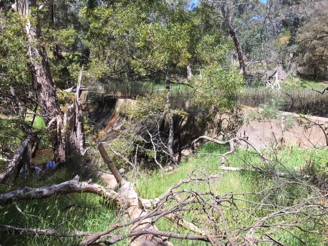
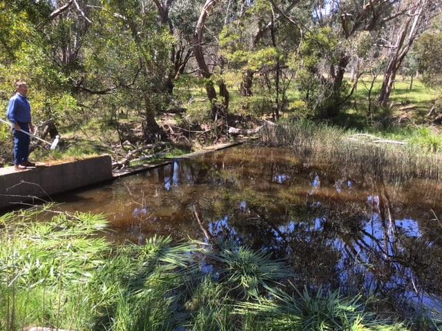
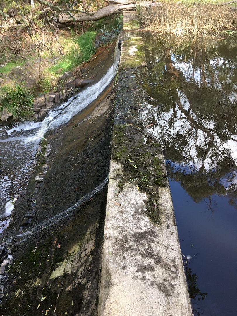
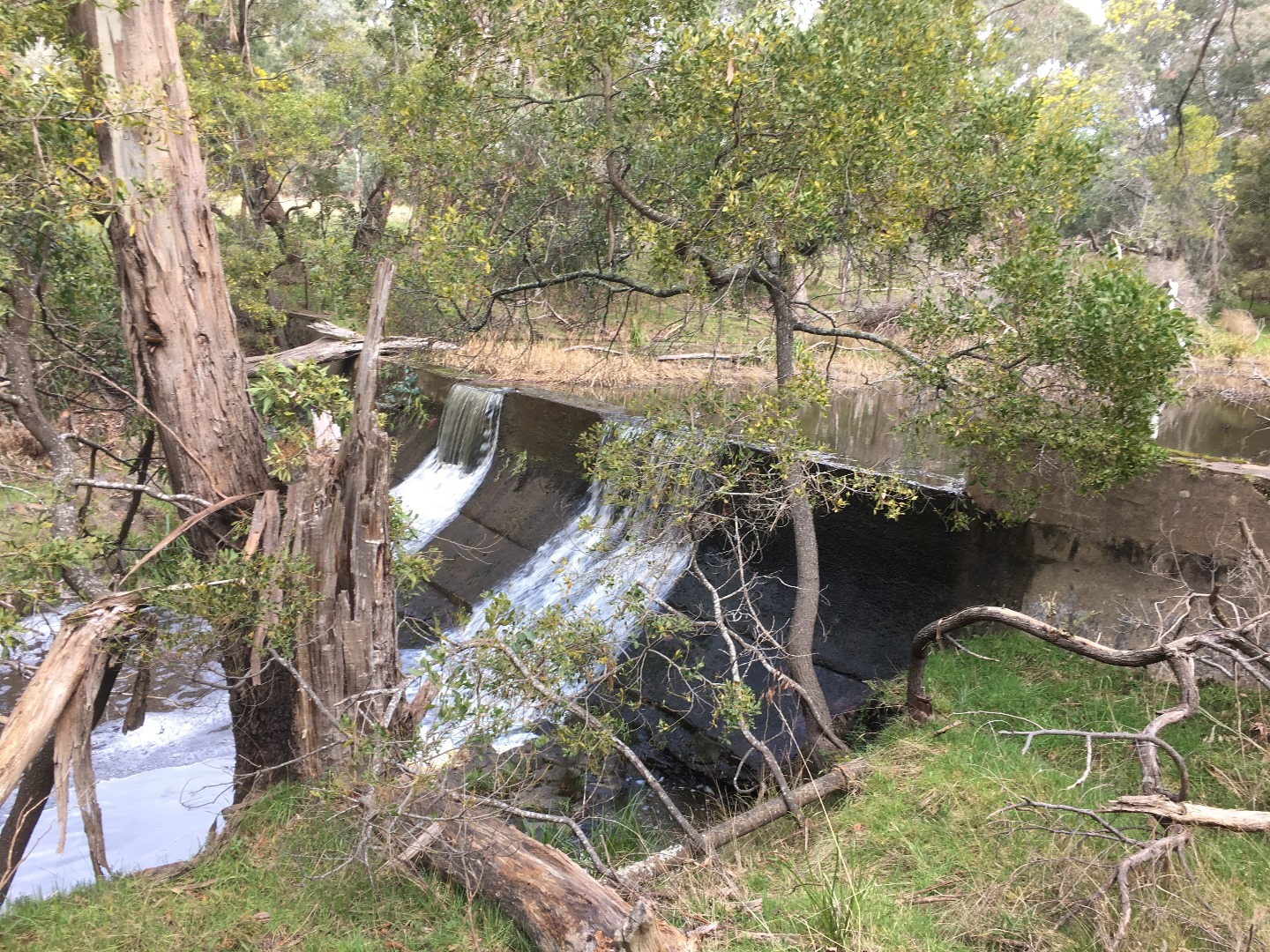
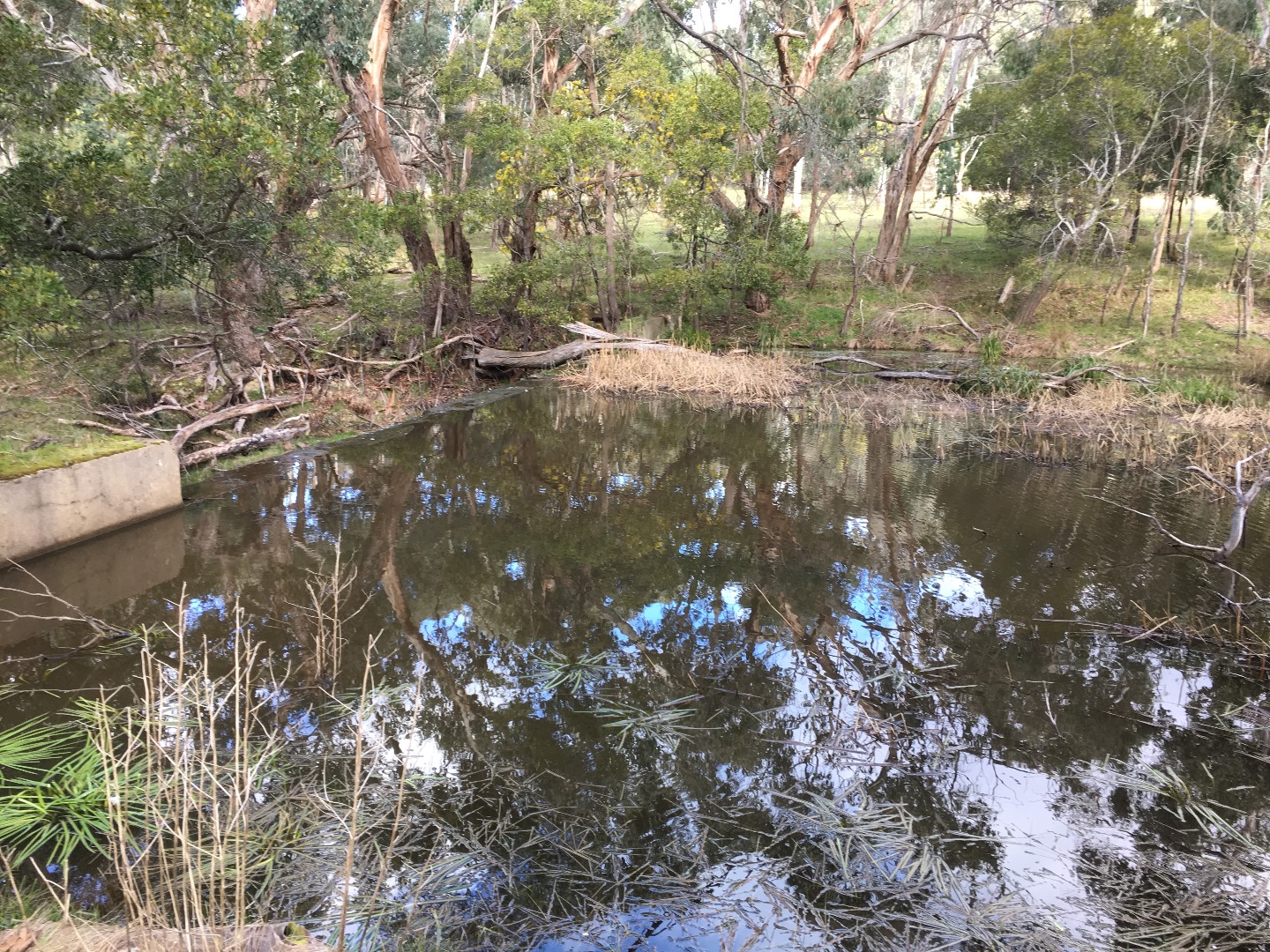
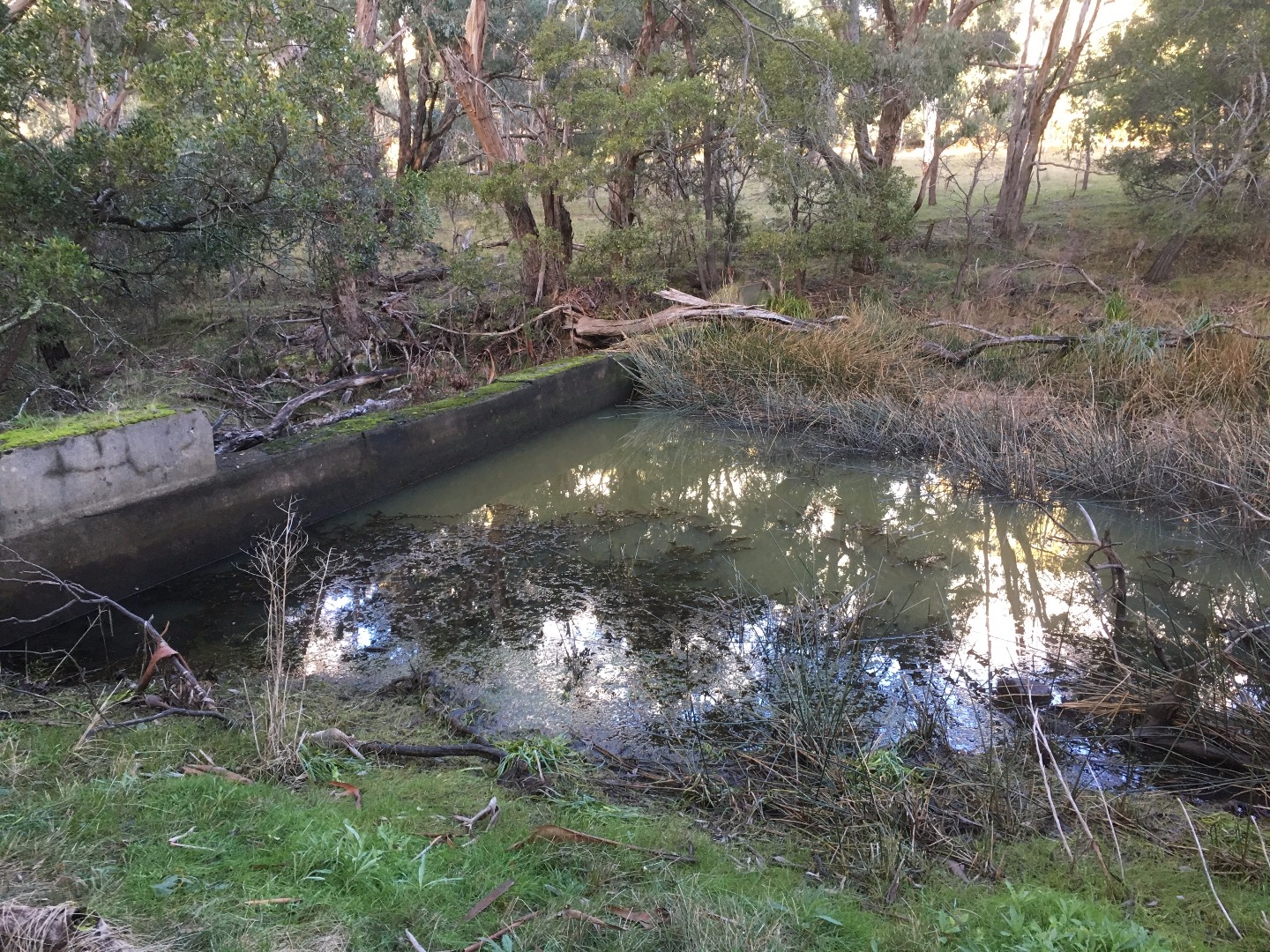
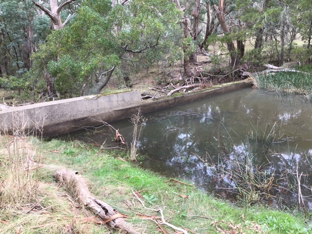
| Site name | Garden Hut Creek @ Old Wier Kolora |
| Status | Active |
| Water Authority | Melbourne |
| Basin | Maribyrnong River |
| Catchment | Maribyrnong River |
| Sub catchment | Deep Creek |
| Reach | |
| Water type | Creek |
| Council | Macedon Ranges Shire Council |
| History | View all 137 site visits 29-05-2012 - 03-04-2024 |
| Monitoring organisations |
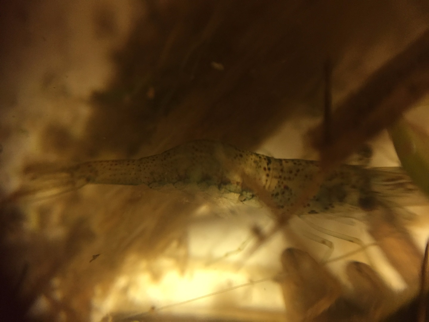
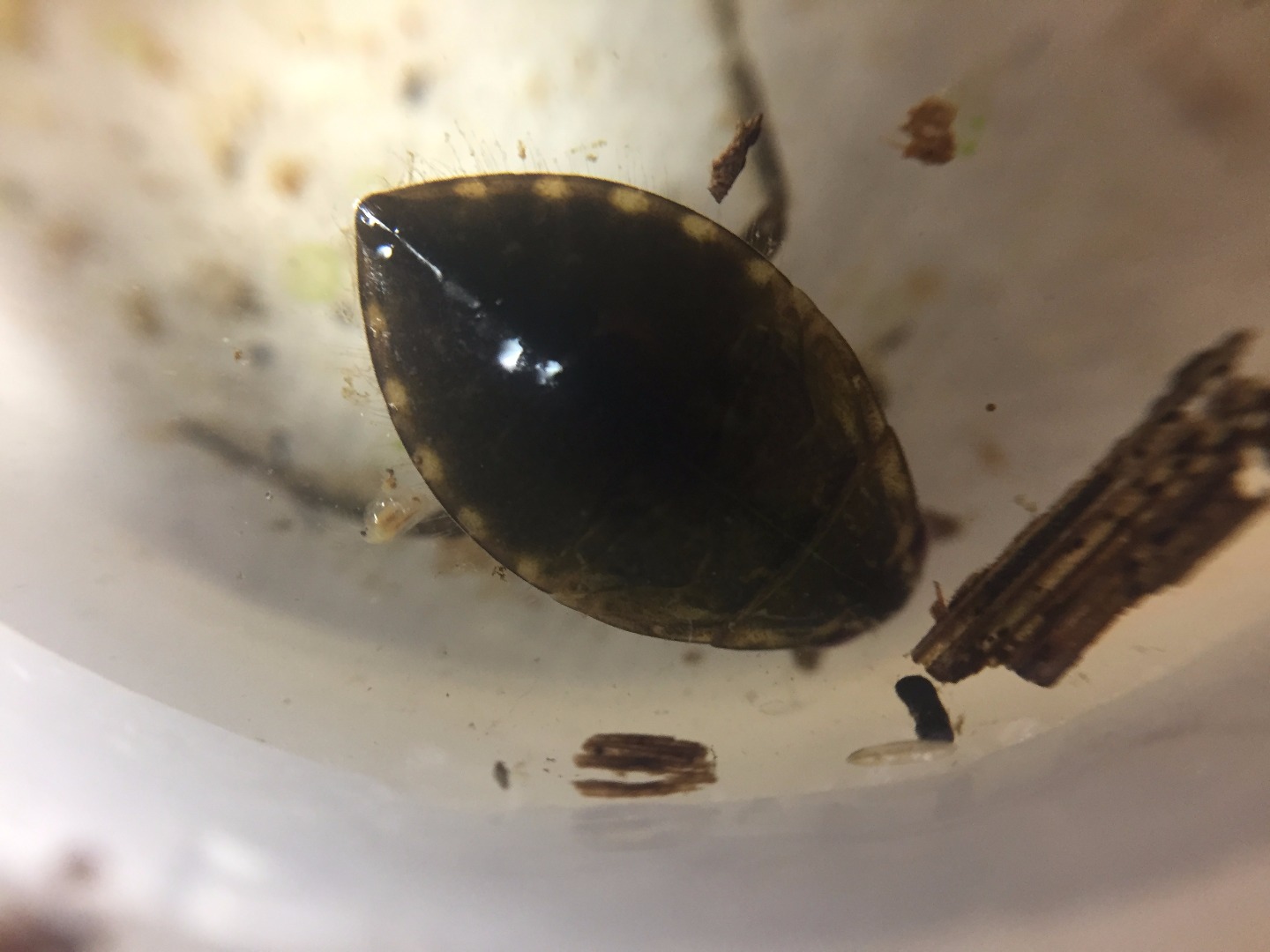
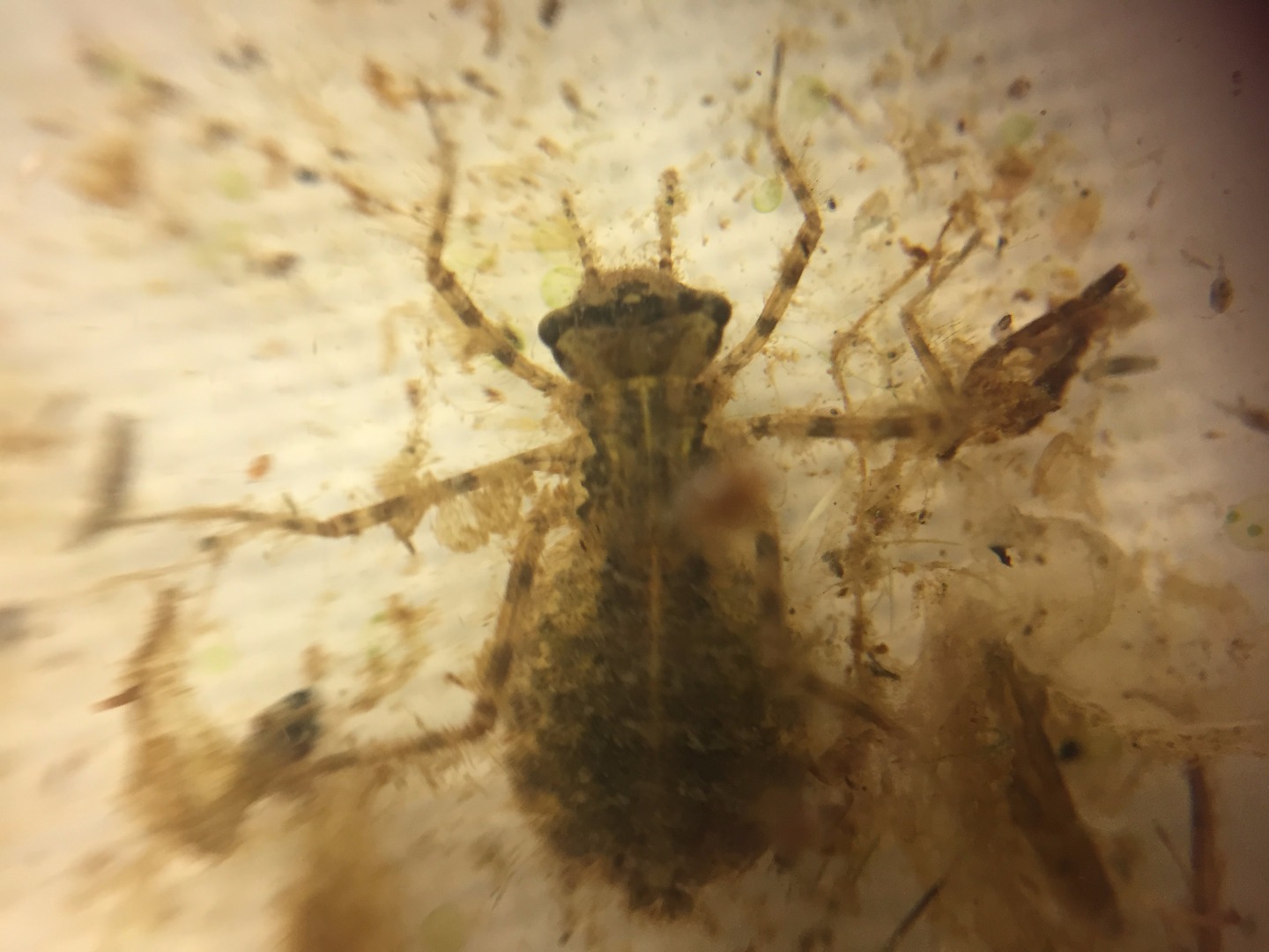
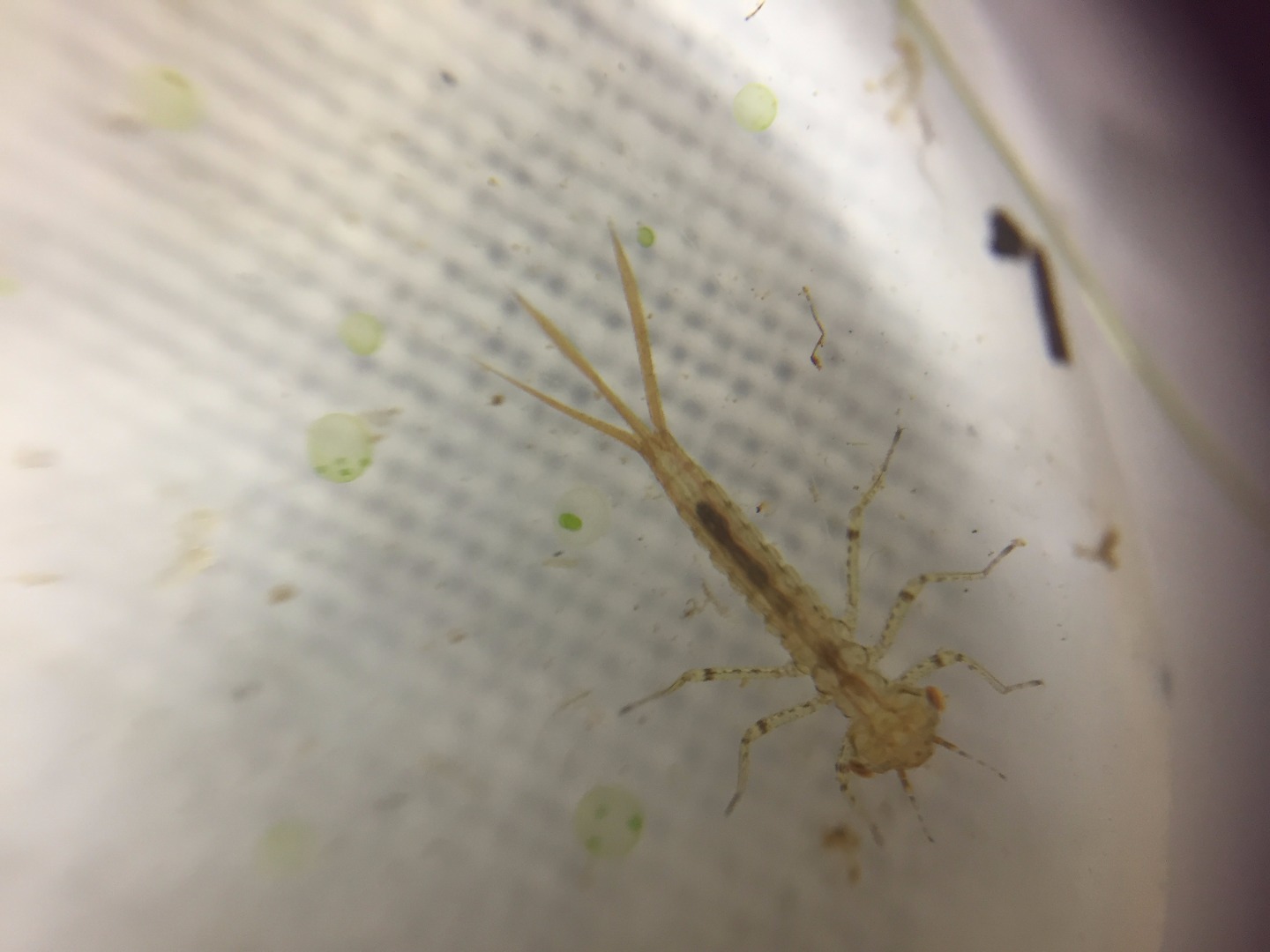
Site visits
 Loading chart
| Date | N mg/L NH4+ | D.O. % | D.O mg/L | EC µS/cm | pH pH Units | rP mg/L P | Air ° C | Water ° C | Turb NTU |
|---|---|---|---|---|---|---|---|---|---|
| 04-05-2022 | 36.55 | 4 | 920 | 6.4 | 0.03 | 15 | 11.2 | 35 | |
| 05-06-2022 | 58.46 | 7 | 1150 | 7 | 0.02 | 6 | 7.4 | 9 | |
| 03-07-2022 | 56.79 | 7 | 670 | 7.1 | 0.01 | 6.9 | 6.3 | 9 | |
| 02-09-2022 | 89.31 | 10 | 320 | 7 | 0.05 | 7.6 | 10.3 | 9.5 | |
| 01-10-2022 | 79.23 | 8 | 260 | 6.9 | 0.03 | 16 | 14.9 | 14 | |
| 06-11-2022 | 71.58 | 7 | 290 | 7.2 | 0.07 | 20 | 16.4 | 9 | |
| 04-12-2022 | 85.56 | 7 | 270 | 7.2 | 0.05 | 29.9 | 25.5 | 9 | |
| 03-01-2023 | 56.9 | 5 | 300 | 7.1 | 0.03 | 17.6 | 21.7 | 9 | |
| 03-02-2023 | 34.38 | 3.5 | 390 | 6.8 | 0.07 | 11 | 14.5 | 9 | |
| 02-03-2023 | 33.44 | 3.2 | 500 | 7 | 0.1 | 19 | 17.4 | 9 | |
| 04-04-2023 | 35.97 | 3.5 | 540 | 6.6 | 0.07 | 21.8 | 16.6 | 10 | |
| 05-05-2023 | 35 | 4 | 610 | 6.9 | 0.03 | 10.3 | 9.4 | 11 | |
| 01-06-2023 | 71.36 | 8 | 670 | 6.9 | 0.02 | 9.9 | 10.2 | 9 | |
| 30-06-2023 | 84.17 | 10 | 550 | 7.5 | 0.02 | 9.6 | 7.8 | 9 | |
| 03-09-2023 | 90 | 10 | 520 | 6.6 | 0.02 | 16 | 10.6 | 9 | |
| 09-10-2023 | 74.86 | 8 | 530 | 6.8 | 0.02 | 13.2 | 12.3 | 9 | |
| 05-12-2023 | 66.75 | 6 | 520 | 6.6 | 0.07 | 28.6 | 20.5 | 9 | |
| 04-01-2024 | 66.21 | 6 | 450 | 6.8 | 0.07 | 16.8 | 20.1 | 9 | |
| 04-02-2024 | 44.22 | 4 | 410 | 6.4 | 0.02 | 26 | 20.2 | 9 | |
| 06-03-2024 | 43.43 | 4 | 400 | 6.6 | 0.08 | 32 | 19.3 | 14 |
Habitat
| Date | Comment | Bank Erosion Stability | Bank Vegetation | In Stream Cover | Riffles Pools Bends | Verge Vegetation | Overall |
|---|---|---|---|---|---|---|---|
| 02-01-2021 | Fair 3 | Good 8 | Good 8 | Excellent 5 | Good 8 | 32 | |
| 07-06-2018 | <p>The last substantial rains were 29/30 May of 33,4 mm and 10th to 12th May of 62.6 mm. This monitoring site did not dry out during summer</p> | Fair 3 | Fair 6 | Fair 6 | Fair 3 | Fair 6 | 24 |


All content, files, data and images provided by the Waterwatch Data Portal and Gallery are subject to a Creative Commons Attribution License
Content is made available to be used in any way, and should always attribute Waterwatch and www.vic.waterwatch.org.au
.png)