Waterwatch Data Portal
Site details
Overview
| Site code | ME_EMA300 |
|---|---|
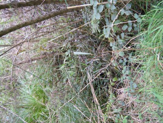
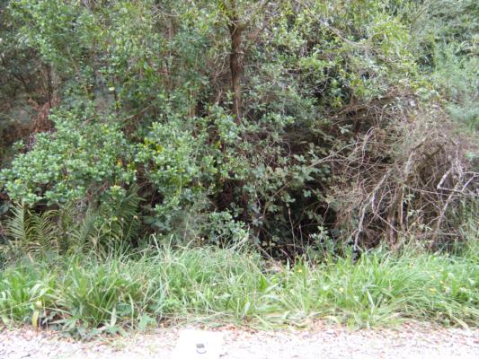
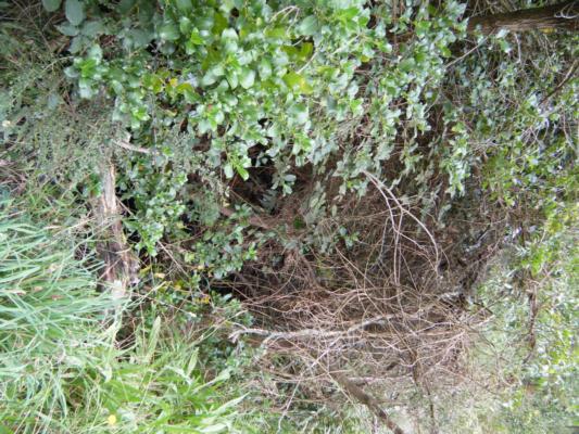
| Site name | Manton Creek @ Punty Lane, Shoreham |
| Status | Active |
| Water Authority | Melbourne |
| Basin | Bunyip River |
| Catchment | Bunyip River |
| Sub catchment | Mantons Creek |
| Reach | |
| Water type | Creek |
| Council | Mornington Peninsula Shire Council |
| History | View all 41 site visits 25-05-2011 - 12-01-2024 |
| Monitoring organisations |
Site visits
 Loading chart
| Date | N mg/L NH4+ | D.O. % | D.O mg/L | EC µS/cm | pH pH Units | rP mg/L P | Air ° C | Water ° C | Turb NTU |
|---|---|---|---|---|---|---|---|---|---|
| 10-05-2022 | 0.01 | 91.22 | 10 | 1816 | 8.4 | 0.01 | 14 | 11 | 0 |
| 01-03-2023 | 0.01 | 79.63 | 8 | 1207 | 7.6 | 0.02 | 17 | 15 | 10 |
| 08-11-2023 | 0.01 | 83.1 | 8 | 1261 | 7.8 | 0.02 | 20 | 17 | 10 |
| 12-01-2024 | 0.01 | 83.05 | 8 | 1078 | 7.8 | 0.01 | 17 | 17 | 10 |
Habitat
| Date | Comment | Bank Erosion Stability | Bank Vegetation | In Stream Cover | Riffles Pools Bends | Verge Vegetation | Overall |
|---|---|---|---|---|---|---|---|
| 28-04-2017 | Good 4 | Fair 6 | Fair 6 | Good 4 | Good 8 | 28 |

All content, files, data and images provided by the Waterwatch Data Portal and Gallery are subject to a Creative Commons Attribution License
Content is made available to be used in any way, and should always attribute Waterwatch and www.vic.waterwatch.org.au
.png)