Waterwatch Data Portal
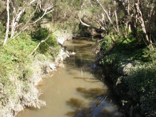
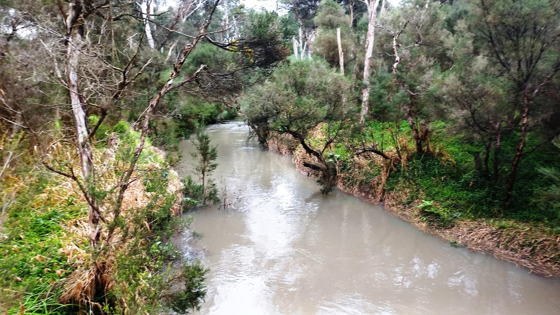
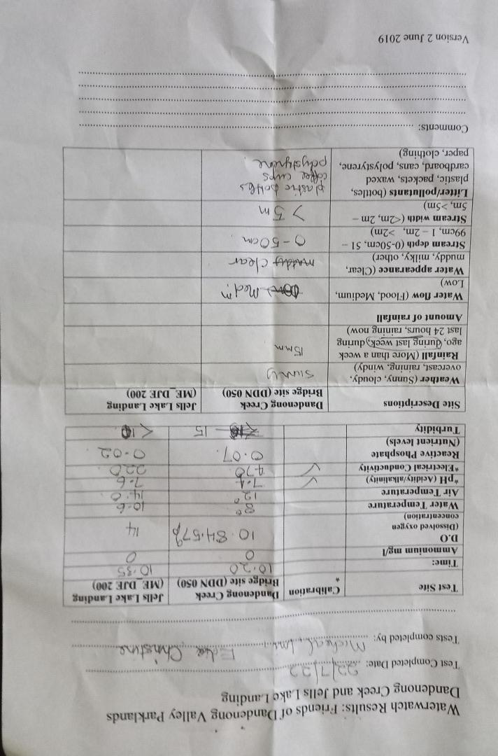
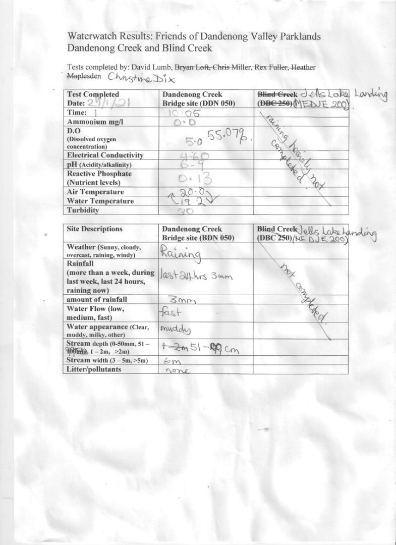
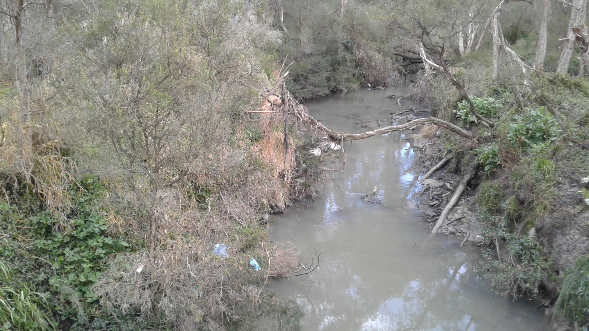
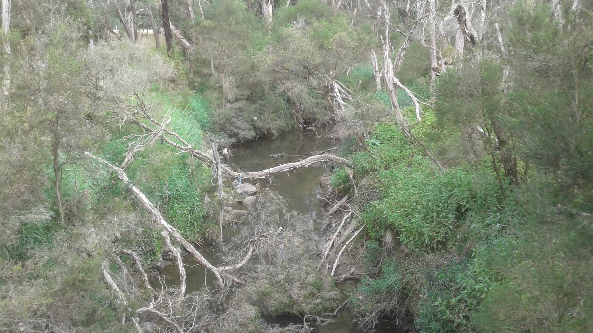
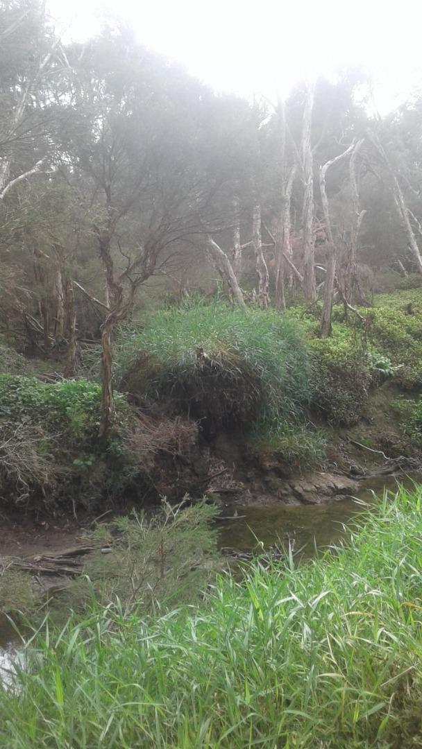
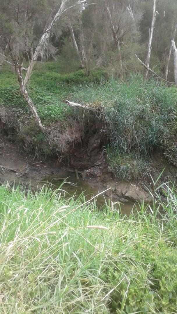
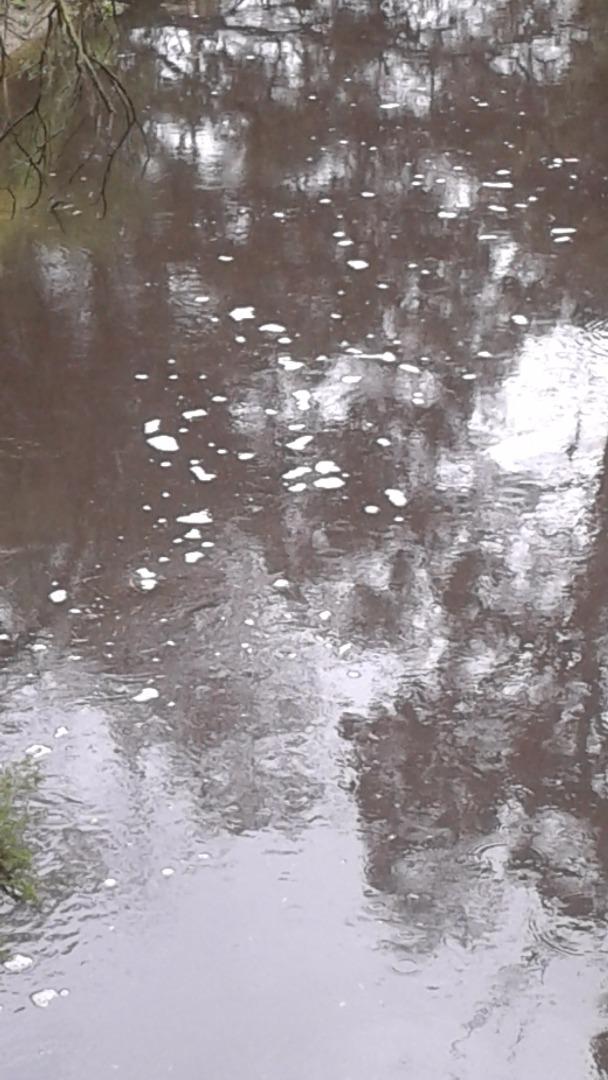
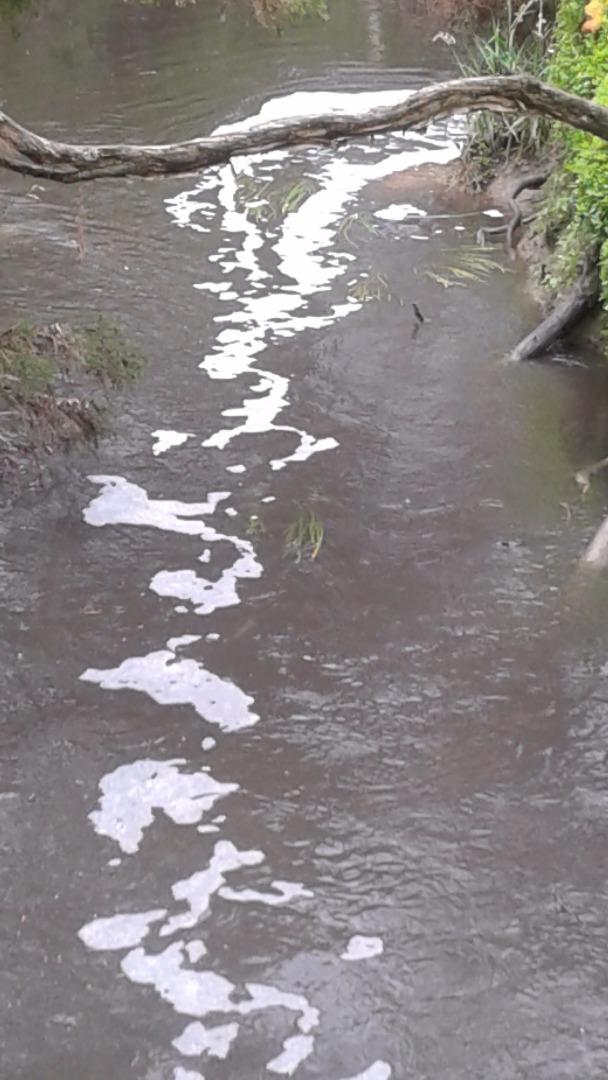
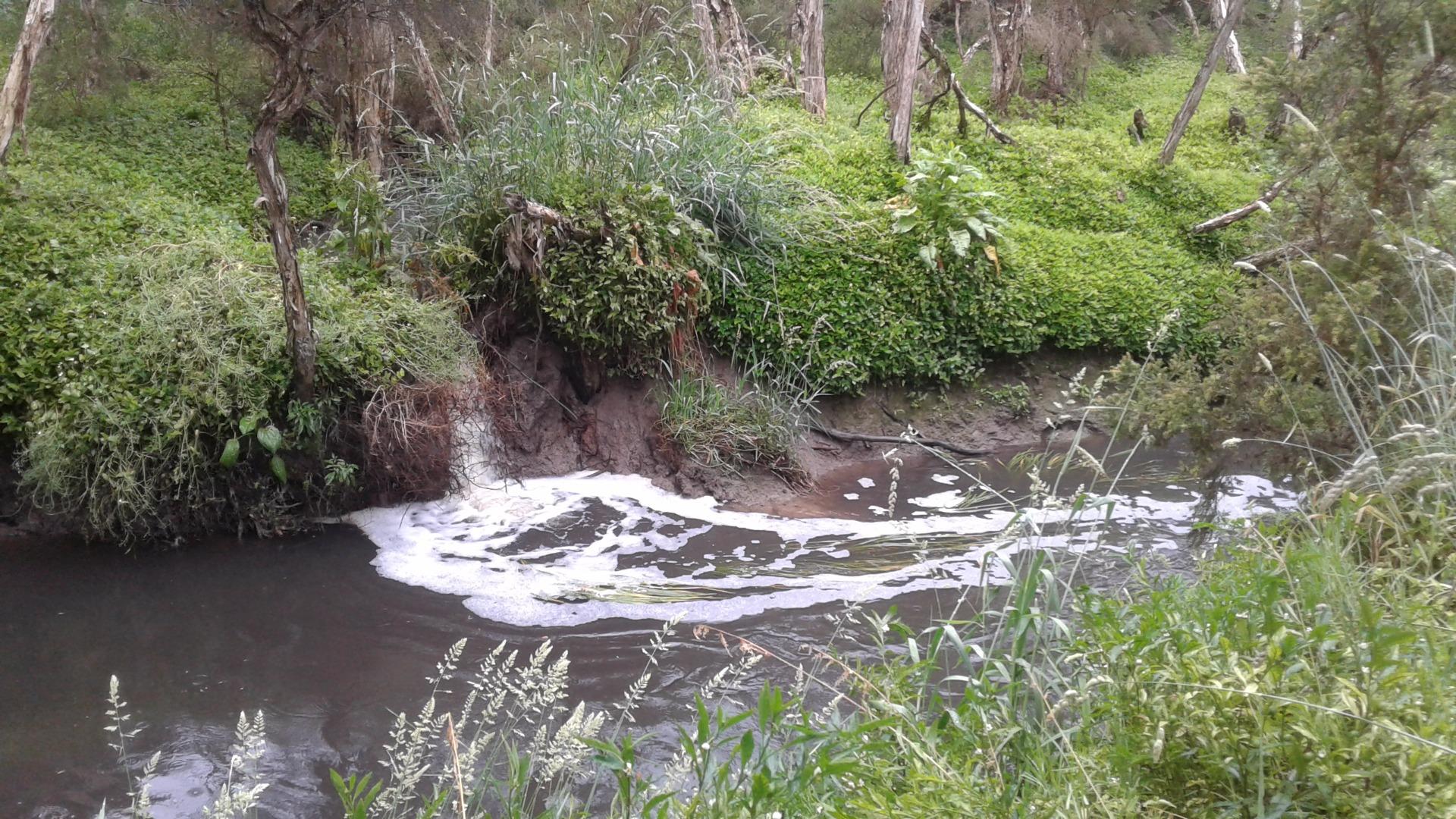
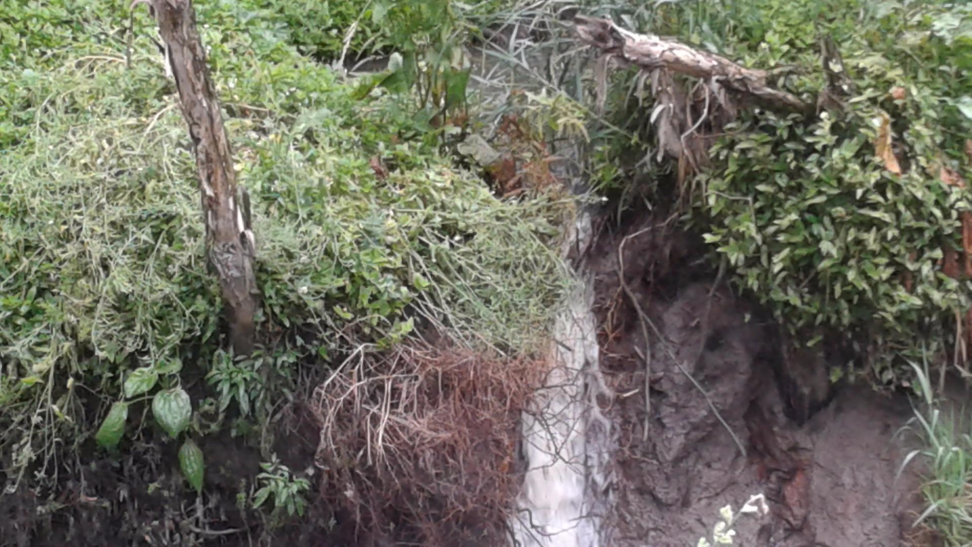
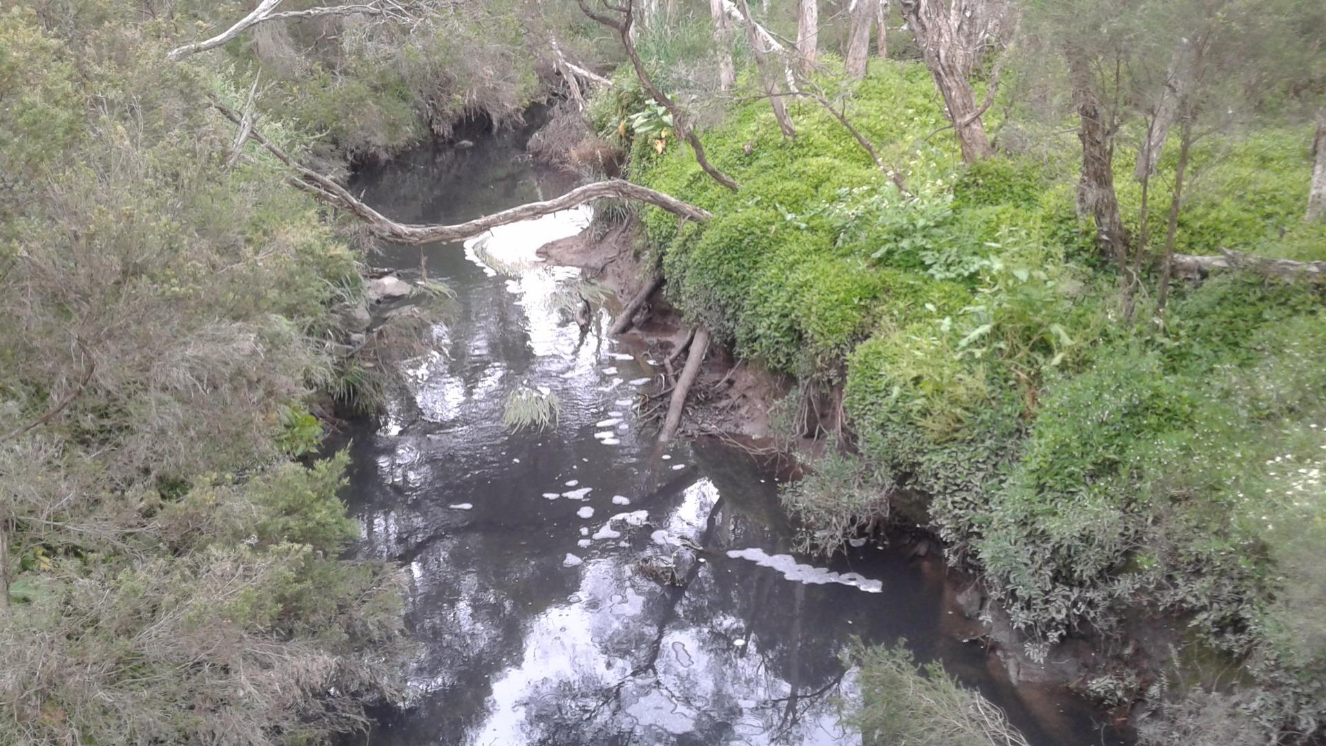
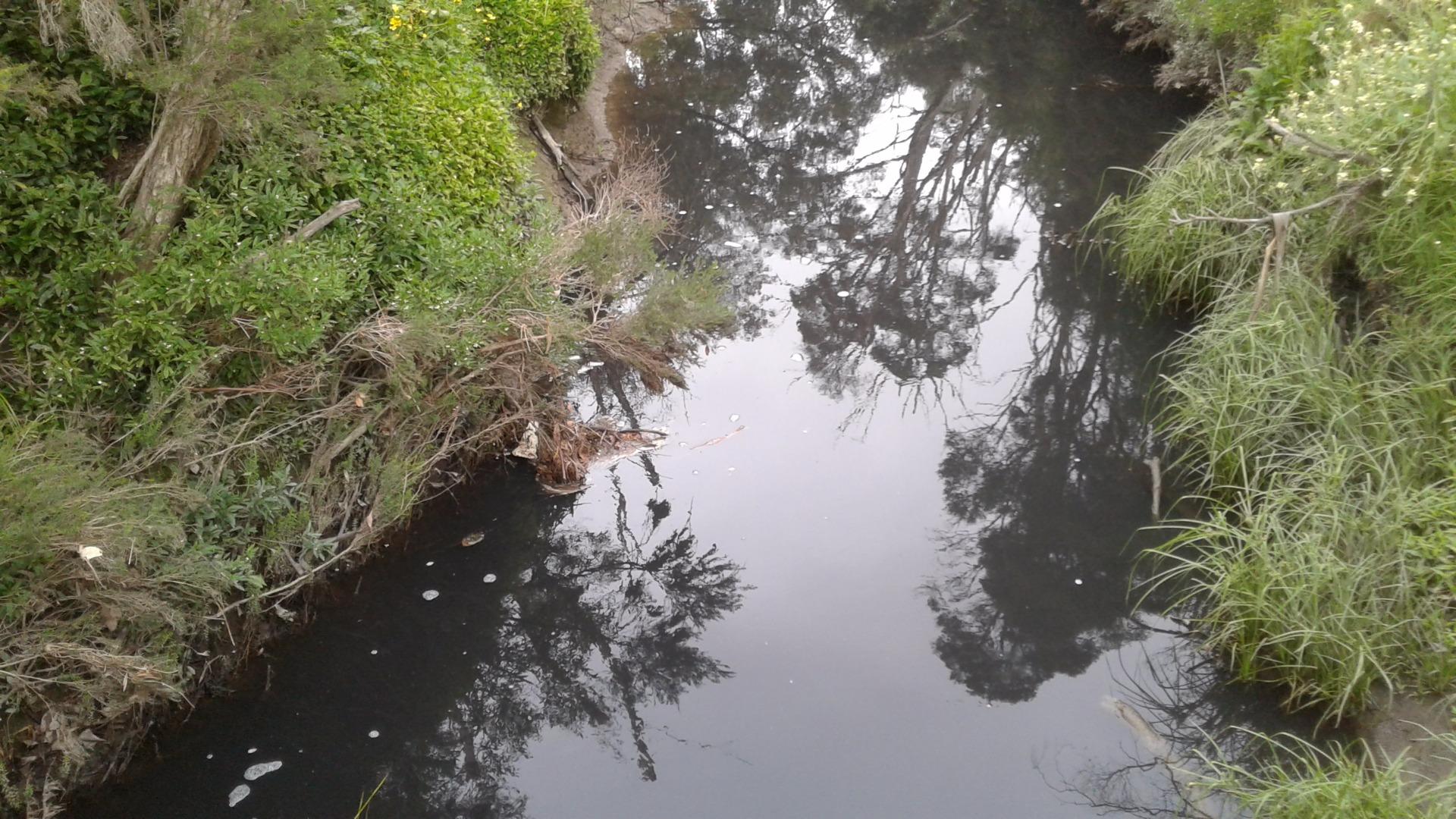
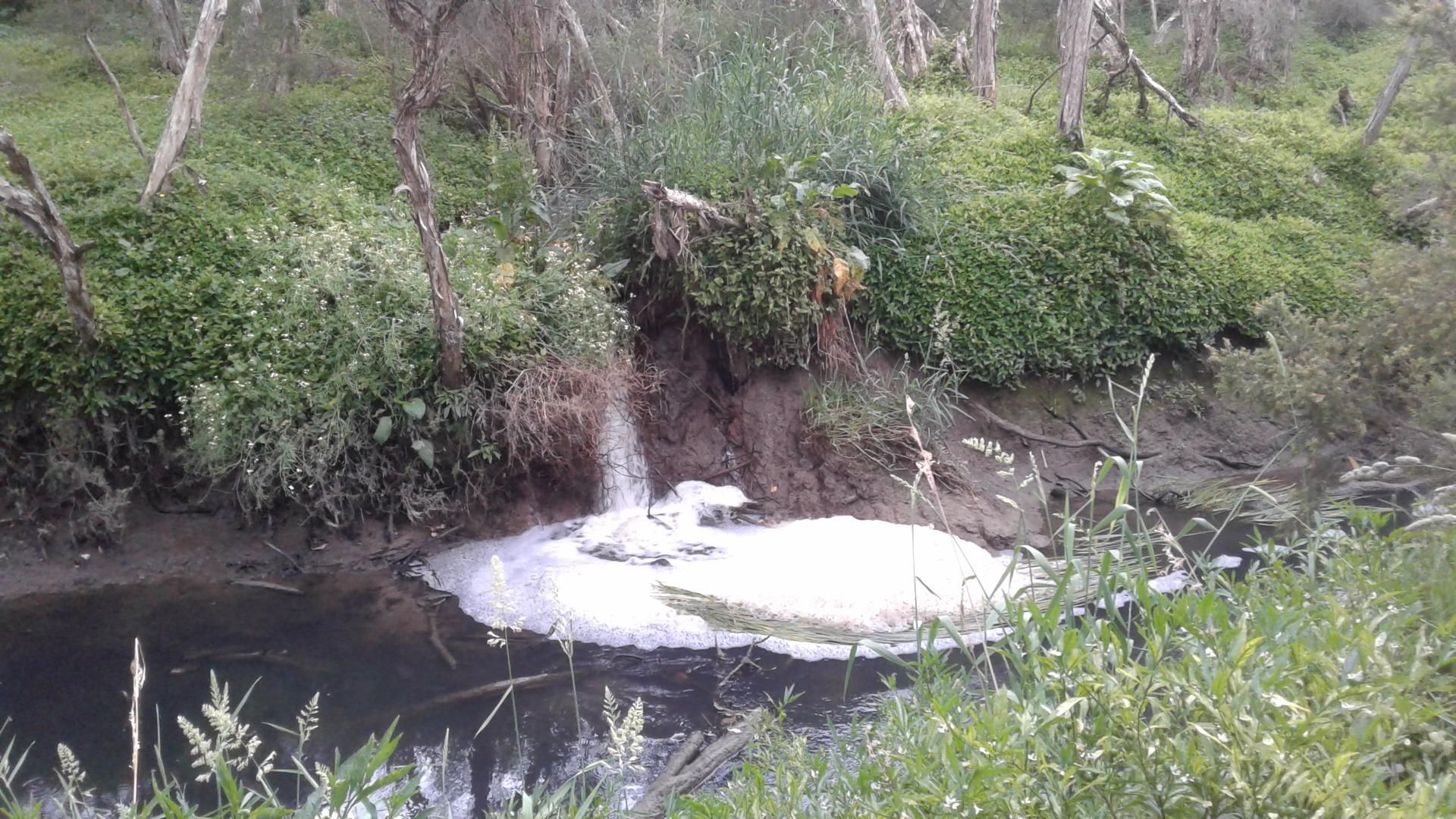
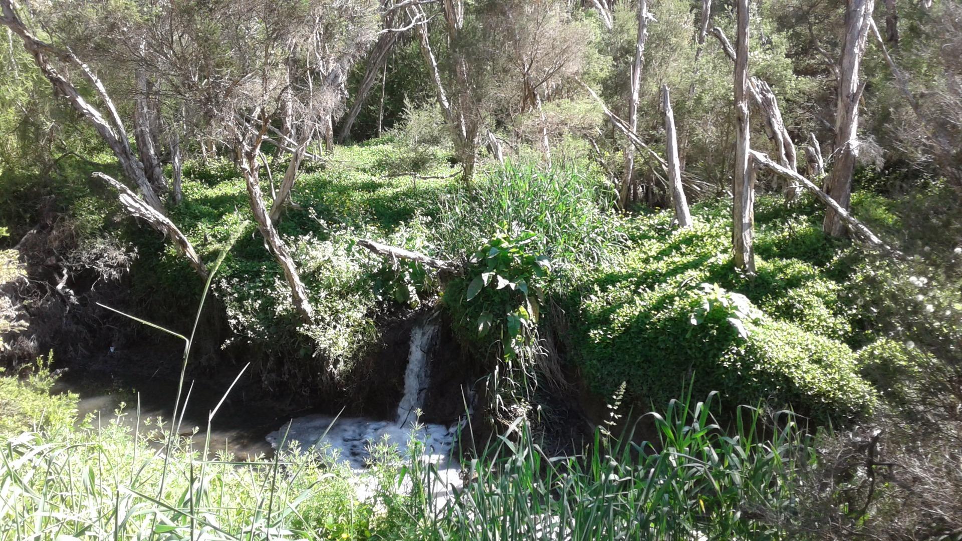
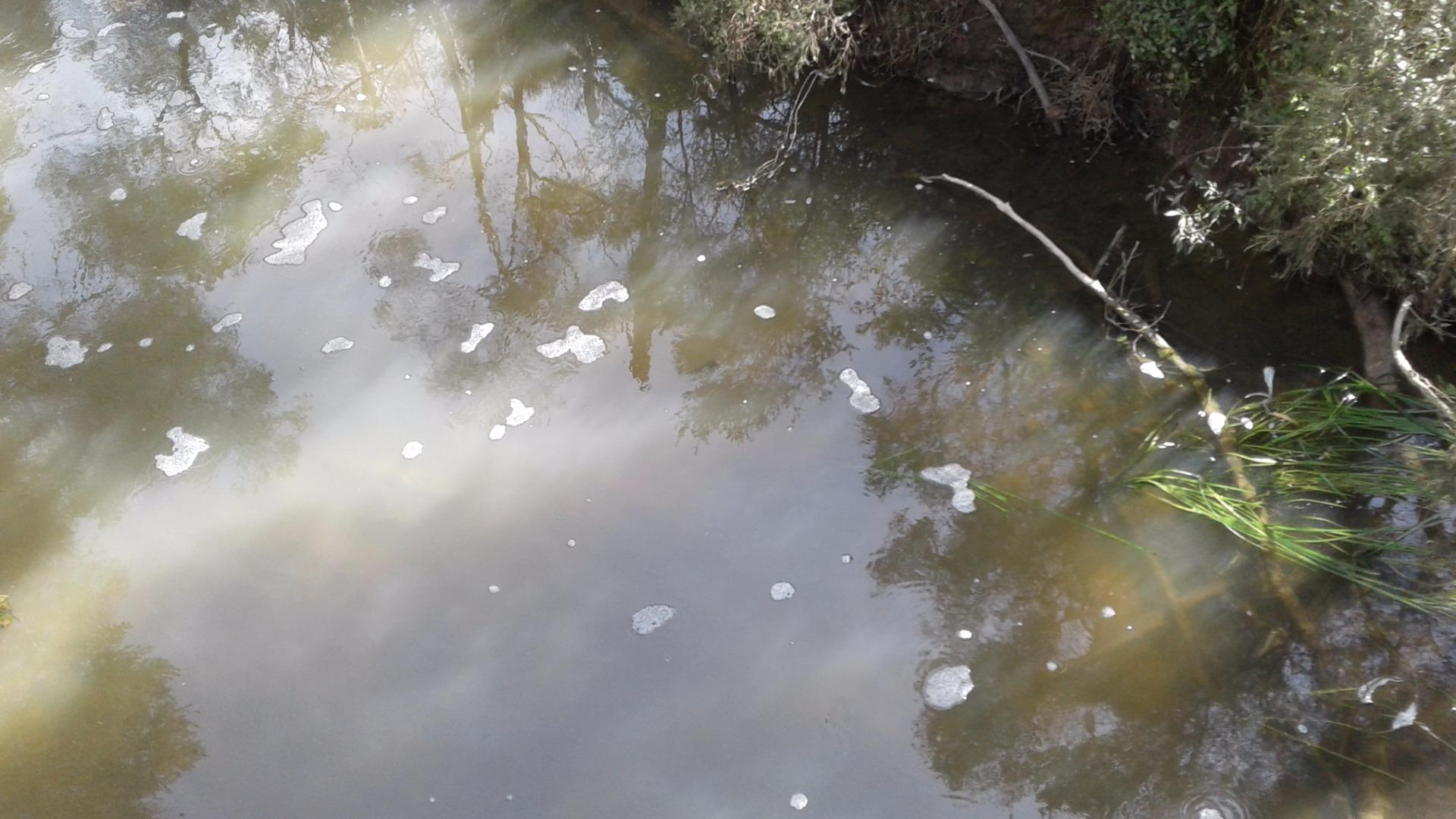
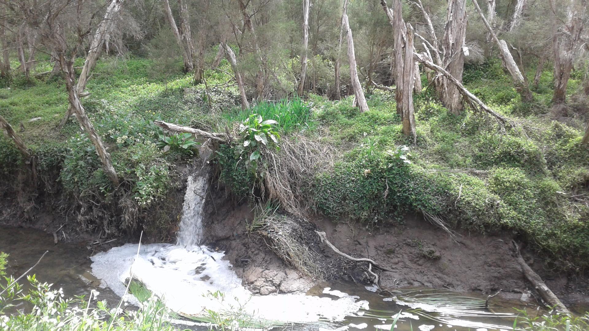
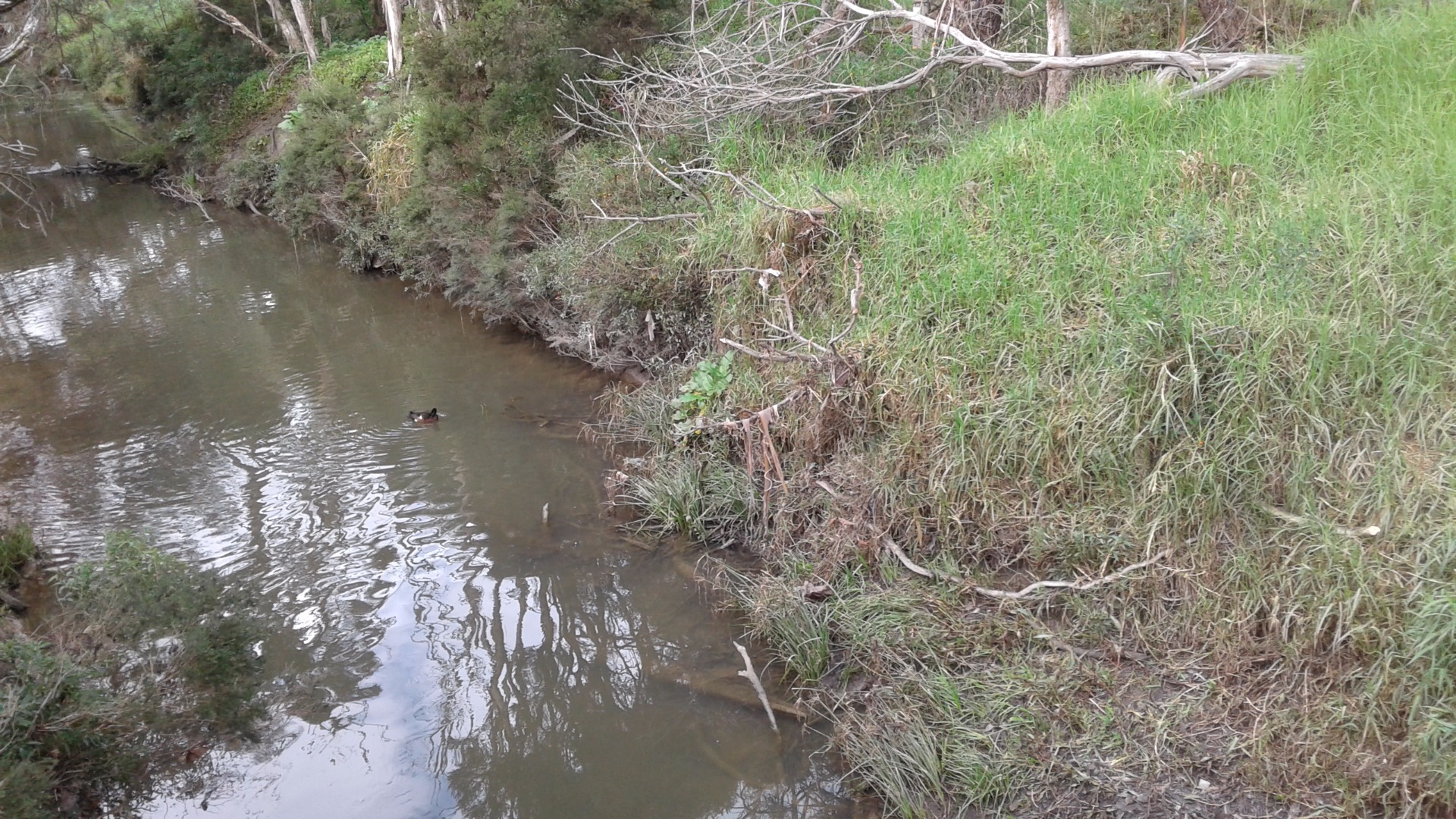
ME_DDN050 Dandenong Creek, Jells Park, North of Wildlife Lake at footbridge, Wheelers Hill
Site details
Overview
| Site code | ME_DDN050 |
|---|---|
| Site name | Dandenong Creek, Jells Park, North of Wildlife Lake at footbridge, Wheelers Hill |
| Status | Active |
| Water Authority | Melbourne |
| Basin | Bunyip River |
| Catchment | Dandenong |
| Sub catchment | Dandenong Creek |
| Reach | |
| Water type | Creek |
| Council | Monash City Council |
| History | View all 146 site visits 04-11-1999 - 24-11-2023 |
| Monitoring organisations |
Site visits
 Loading chart
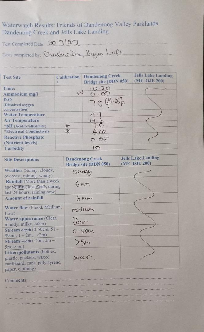
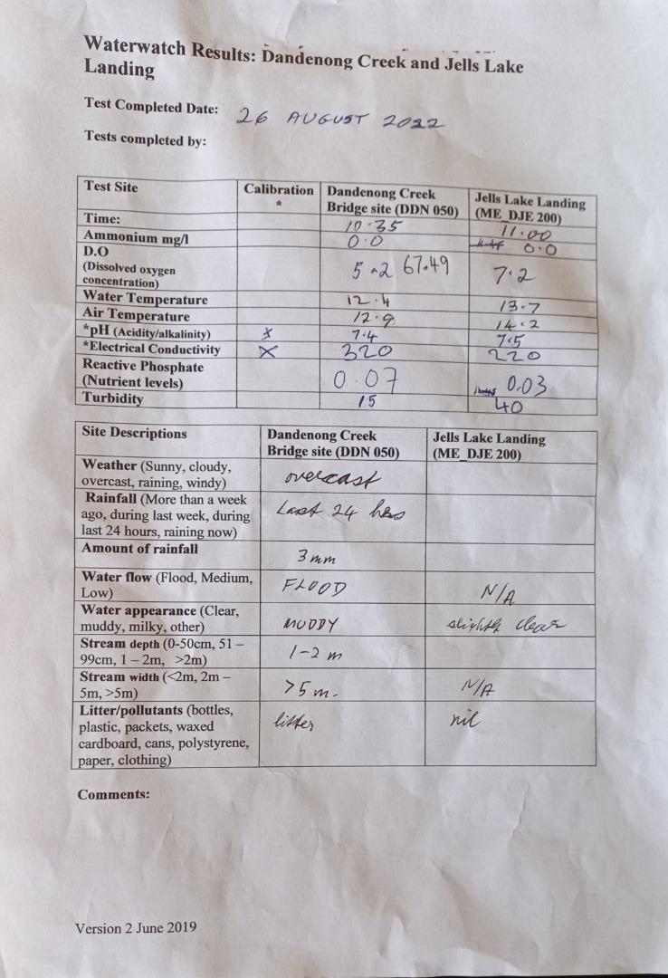
| Date | Ammon-Nit mg/L NH3-N | N mg/L NH4+ | D.O. % | D.O mg/L | EC µS/cm | FrP mg/L P | Nitrate-Nit mg/L N | pH pH Units | rP mg/L P | Air ° C | Water ° C | Turb NTU |
|---|---|---|---|---|---|---|---|---|---|---|---|---|
| 29-04-2022 | 0 | 76.29 | 7.5 | 620 | 7.6 | 0.07 | 21.6 | 16.1 | 15 | |||
| 27-05-2022 | 0 | 61.39 | 6.4 | 540 | 7.1 | 0.03 | 16.1 | 13.4 | 10 | |||
| 24-06-2022 | 0 | 51.31 | 5.4 | 370 | 7.3 | 0.25 | 13.5 | 13 | 30 | |||
| 22-07-2022 | 0 | 84.57 | 10 | 470 | 7.4 | 0.07 | 12 | 8 | 15 | |||
| 24-02-2023 | 0.04 | 45.32 | 4 | 750 | 7.5 | 0.1 | 27.3 | 21.4 | 15 | |||
| 24-03-2023 | 0 | 75.47 | 7 | 190 | 6.8 | 0.07 | 18 | 19 | 40 | |||
| 23-06-2023 | 0.02 | 54.99 | 6 | 450 | 7.2 | 0.1 | 13 | 11.4 | 20 | |||
| 25-08-2023 | 0 | 73.44 | 8.05 | 450 | 7 | 0.2 | 16.8 | 11.2 | 30 | |||
| 22-09-2023 | 0 | 75.71 | 8 | 540 | 7.4 | 0.05 | 14.1 | 12.8 | 20 | |||
| 24-11-2023 | 0 | 58.31 | 4.9 | 621 | 7.4 | 0.05 | 27.7 | 24 | 10 |
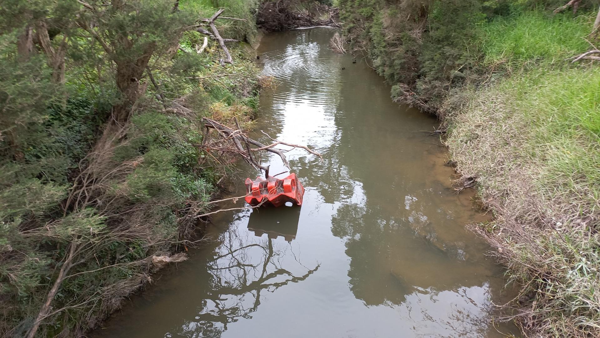
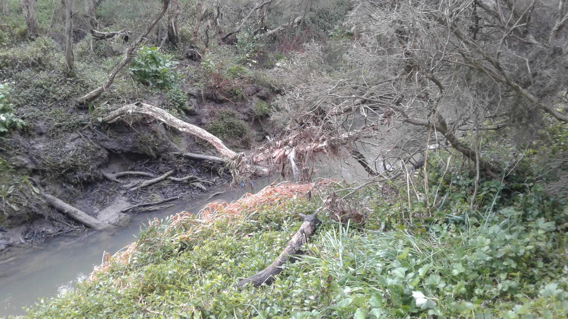
Habitat
| Date | Comment | Bank Erosion Stability | Bank Vegetation | In Stream Cover | Riffles Pools Bends | Verge Vegetation | Overall |
|---|---|---|---|---|---|---|---|
| 27-03-2015 | N/A 0 | ||||||
| 29-06-2012 | Fair 3 | Poor 4 | Fair 6 | Fair 3 | Poor 4 | Fair 20 | |
| 24-02-2012 | Banks very steep. Verge has good vegetation cover of mixed native and exotics on both sides. little in-stream vegetation due to shading from trees. | Fair 3 | Fair 6 | Fair 6 | Poor 2 | Fair 6 | Fair 23 |
| 04-11-1999 | VeryPoor 1 | Poor 4 | Poor 4 | Poor 2 | Poor 4 | Good 15 |


All content, files, data and images provided by the Waterwatch Data Portal and Gallery are subject to a Creative Commons Attribution License
Content is made available to be used in any way, and should always attribute Waterwatch and www.vic.waterwatch.org.au
.png)