Waterwatch Data Portal
Site details
Overview
| Site code | ME_EST400 |
|---|---|
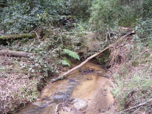
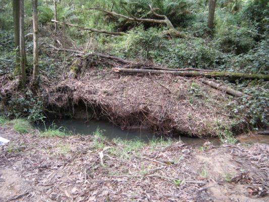
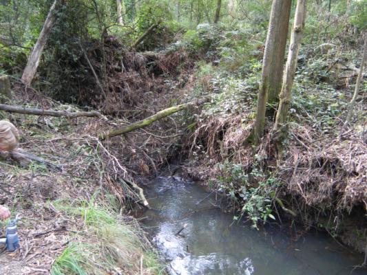
| Site name | Stony Creek at Shands Rd bridge |
| Status | Active |
| Water Authority | Melbourne |
| Basin | Bunyip River |
| Catchment | Bunyip River |
| Sub catchment | Merricks Creek |
| Reach | 28_4 Stony Creek |
| Water type | Creek |
| Council | Mornington Peninsula Shire Council |
| History | View all 50 site visits 19-11-2004 - 12-01-2024 |
| Monitoring organisations |
Site visits
 Loading chart
| Date | Ammon-Nit mg/L NH3-N | N mg/L NH4+ | D.O. % | D.O mg/L | EC µS/cm | FrP mg/L P | Nitrate-Nit mg/L N | pH pH Units | rP mg/L P | Air ° C | Water ° C | Turb NTU |
|---|---|---|---|---|---|---|---|---|---|---|---|---|
| 10-05-2022 | 0.01 | 88.92 | 10 | 1148 | 8.8 | 0.01 | 13 | 10 | 0 | |||
| 01-03-2023 | 0.01 | 89.5 | 9 | 906 | 7.9 | 0.01 | 17 | 15 | 10 | |||
| 08-11-2023 | 0.01 | 81.27 | 8 | 880 | 8.3 | 0.002 | 19 | 16 | 10 | |||
| 12-01-2024 | 0.01 | 82.96 | 8 | 728 | 8.3 | 0.01 | 17 | 17 | 10 |
Habitat
| Date | Comment | Bank Erosion Stability | Bank Vegetation | In Stream Cover | Riffles Pools Bends | Verge Vegetation | Overall |
|---|---|---|---|---|---|---|---|
| 28-04-2017 | Good 4 | Fair 6 | Fair 6 | Good 4 | Fair 6 | 26 |

All content, files, data and images provided by the Waterwatch Data Portal and Gallery are subject to a Creative Commons Attribution License
Content is made available to be used in any way, and should always attribute Waterwatch and www.vic.waterwatch.org.au
.png)