Waterwatch Data Portal
Site details
Overview
| Site code | ME_DDA200 |
|---|---|
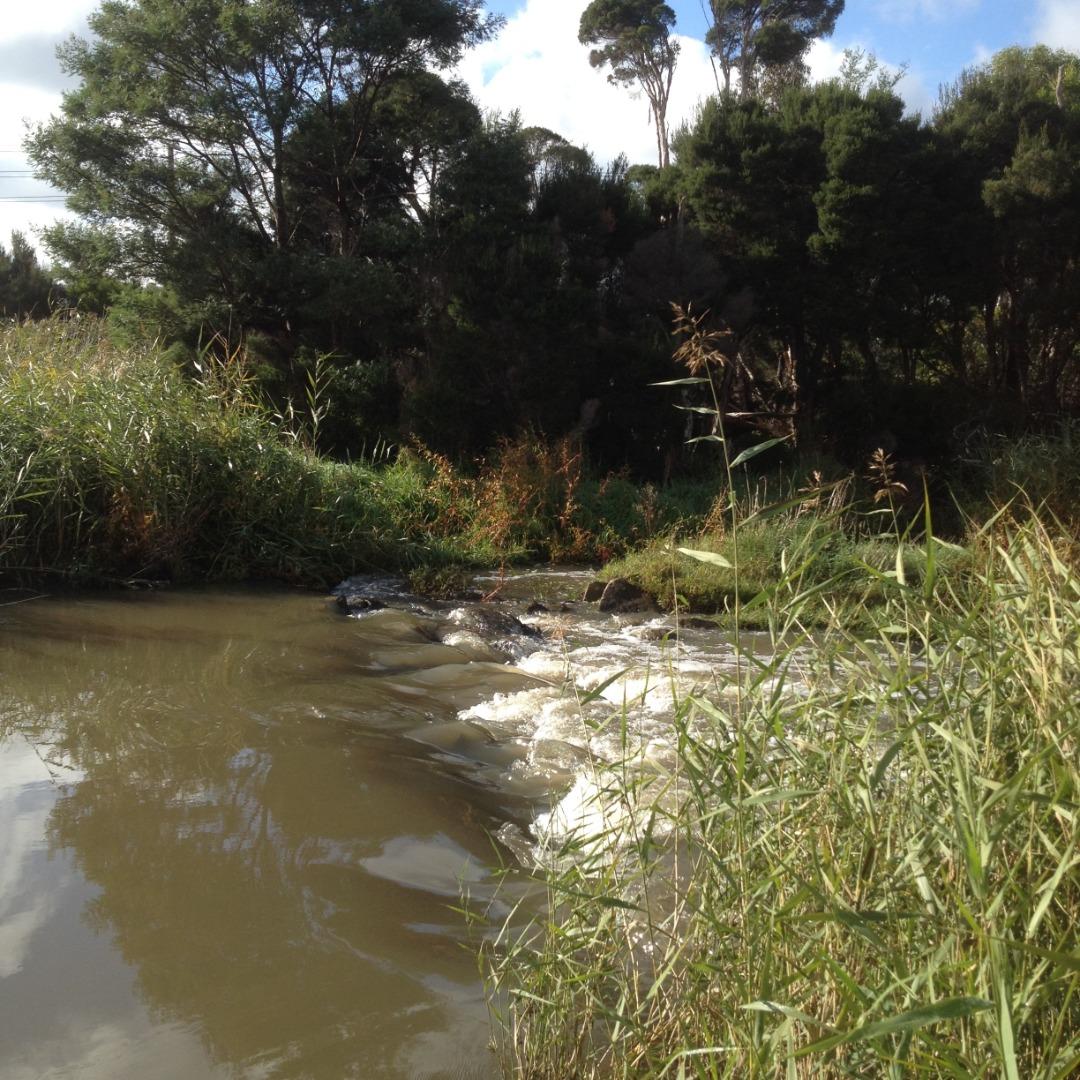
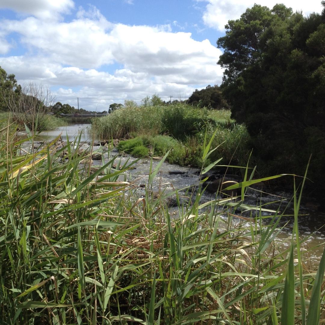
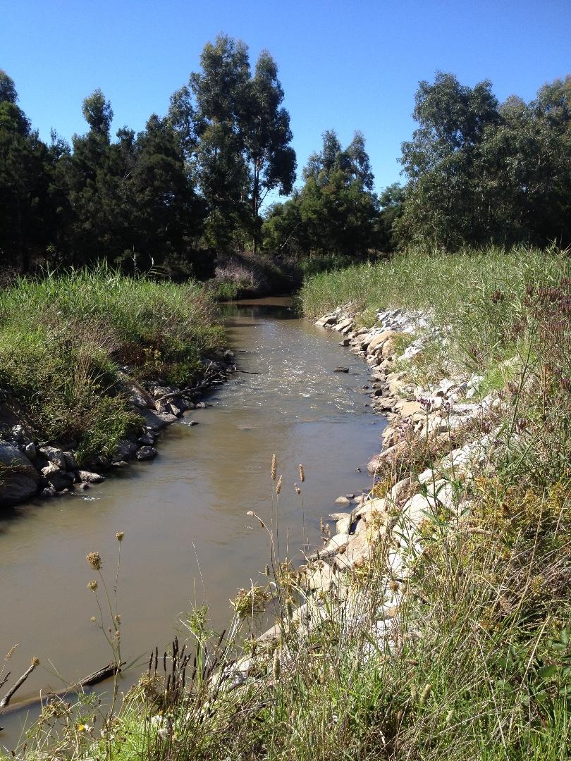
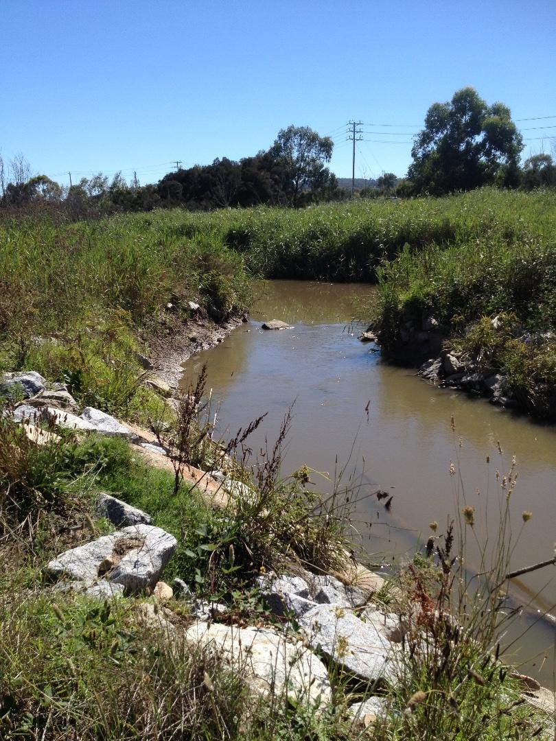
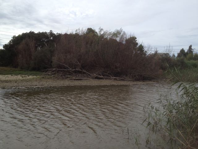
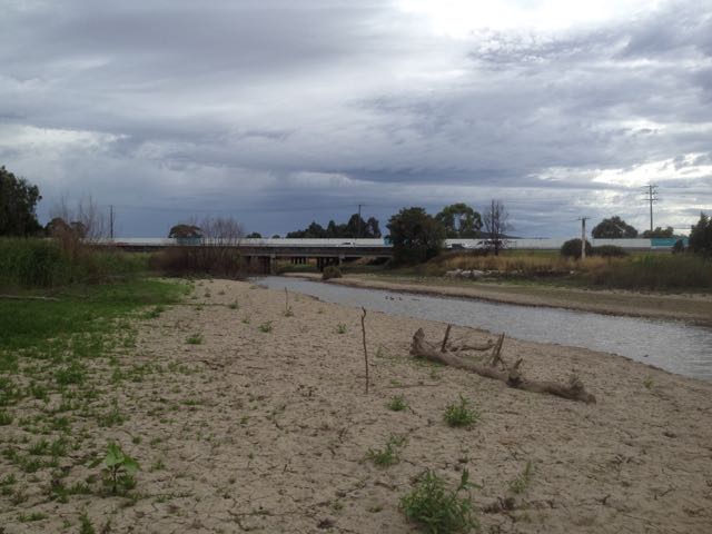
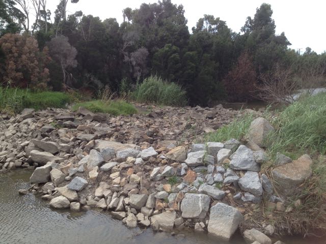
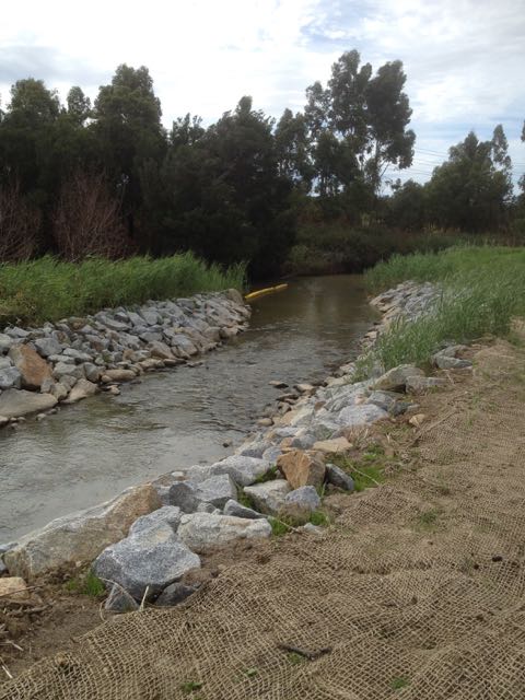
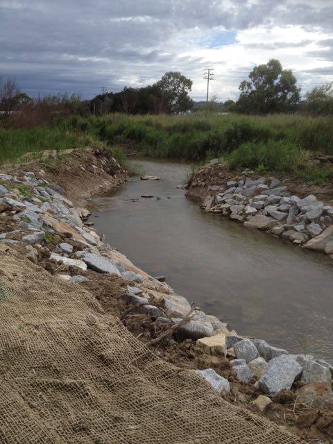
| Site name | Dandenong Creek |
| Status | Active |
| Water Authority | Melbourne |
| Basin | Bunyip River |
| Catchment | Dandenong |
| Sub catchment | Dandenong Creek |
| Reach | |
| Water type | Creek |
| Council | Greater Dandenong City Council |
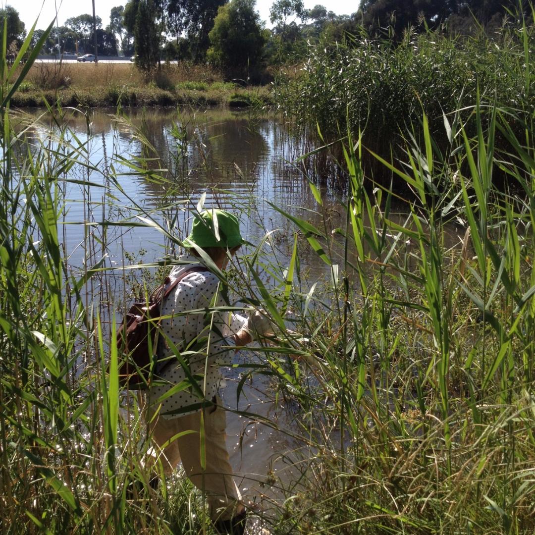
| History | View all 167 site visits 11-07-2004 - 04-02-2024 |
| Monitoring organisations |
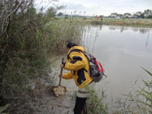
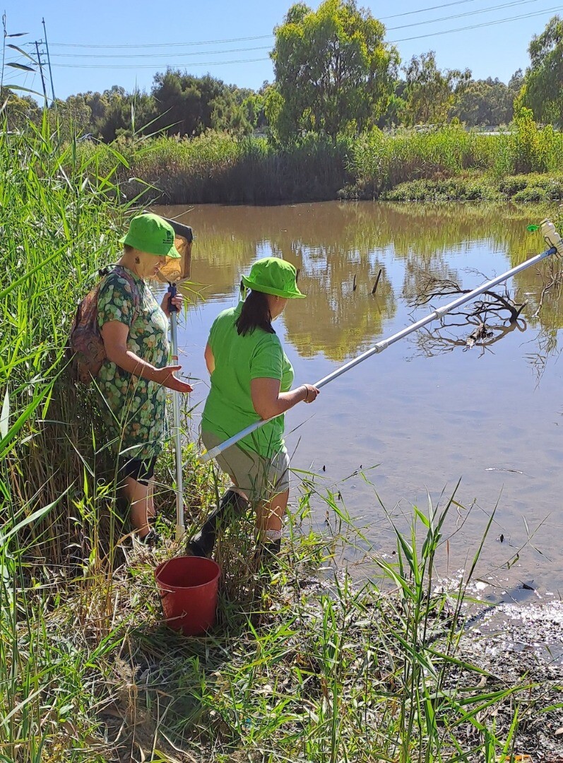
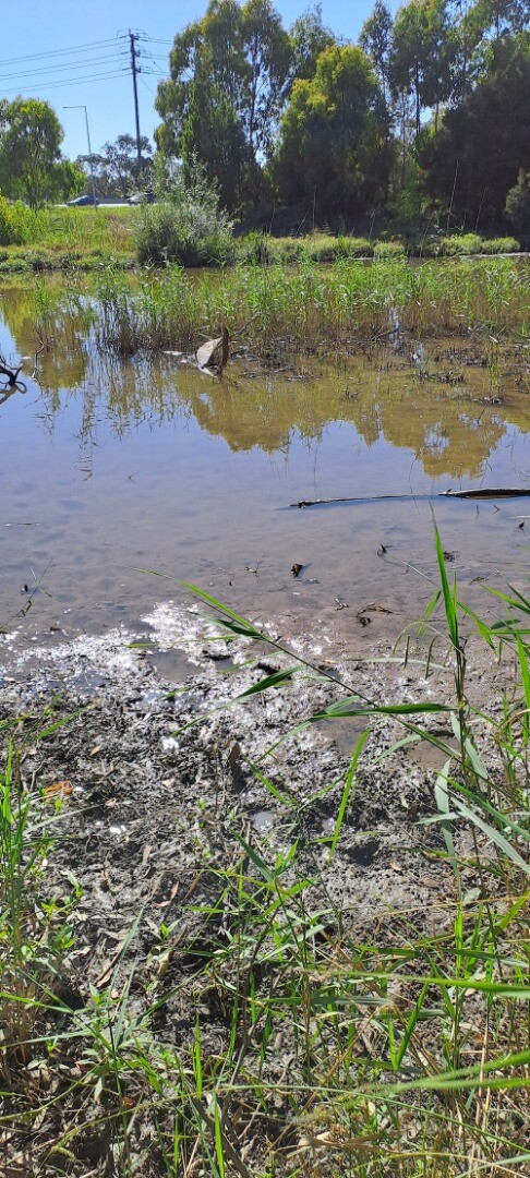
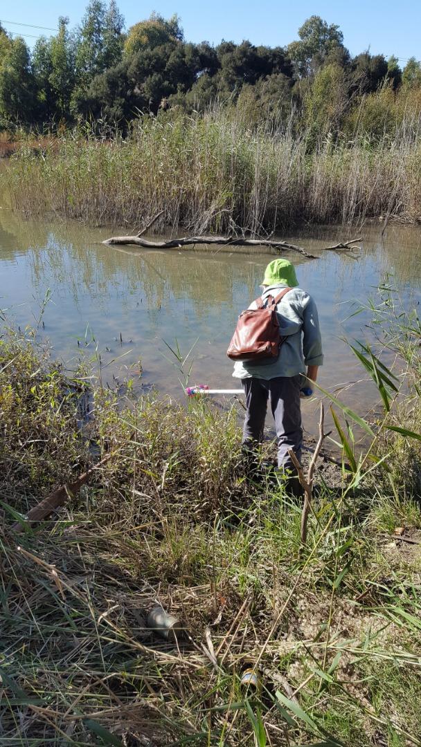
Site visits
 Loading chart
| Date | Ammon-Nit mg/L NH3-N | N mg/L NH4+ | D.O. % | D.O mg/L | EC µS/cm | FrP mg/L P | Nitrate-Nit mg/L N | pH pH Units | rP mg/L P | Air ° C | Water ° C | Turb FTU | Turb NTU |
|---|---|---|---|---|---|---|---|---|---|---|---|---|---|
| 01-05-2022 | 70.45 | 7.1 | 190 | 6.4 | 0.037 | 17 | 15 | 61 | |||||
| 05-06-2022 | 0 | 55.83 | 6.3 | 130 | 7.2 | 0.3 | 10.8 | 10 | 48 | ||||
| 03-07-2022 | 0 | 77.48 | 8.9 | 460 | 7.3 | 0.037 | 13.2 | 9.2 | 29 | ||||
| 07-08-2022 | 0 | 70.3 | 7.5 | 310 | 7 | 0.053 | 15.2 | 12.4 | 42 | ||||
| 11-09-2022 | 0 | 73.61 | 7.8 | 330 | 6.8 | 14.4 | 12.7 | 60 | |||||
| 02-10-2022 | 0 | 92.71 | 9.1 | 420 | 7.2 | 18.5 | 16.2 | 40 | |||||
| 03-09-2023 | 0 | 60.84 | 6.7 | 410 | 7.1 | 0.103 | 12 | 11 | 37 | ||||
| 01-10-2023 | 0 | 110.07 | 10.4 | 650 | 8 | 0.03 | 19.8 | 18 | 43 | ||||
| 05-11-2023 | 0 | 117.21 | 10.6 | 490 | 7.9 | 0.007 | 20.8 | 20.2 | 27 | ||||
| 03-12-2023 | 0 | 52.32 | 4.9 | 200 | 6.4 | 0.007 | 19.7 | 18.5 | 50 | ||||
| 07-01-2024 | 0 | 100.05 | 8.4 | 290 | 8 | 0.037 | 22.5 | 24.1 | 46 | ||||
| 04-02-2024 | 0 | 73.45 | 6.2 | 380 | 7.2 | 0.02 | 25.7 | 23.8 | 35 |


All content, files, data and images provided by the Waterwatch Data Portal and Gallery are subject to a Creative Commons Attribution License
Content is made available to be used in any way, and should always attribute Waterwatch and www.vic.waterwatch.org.au
.png)