Waterwatch Data Portal
Site details
Overview
| Site code | WG_MOR105 |
|---|---|
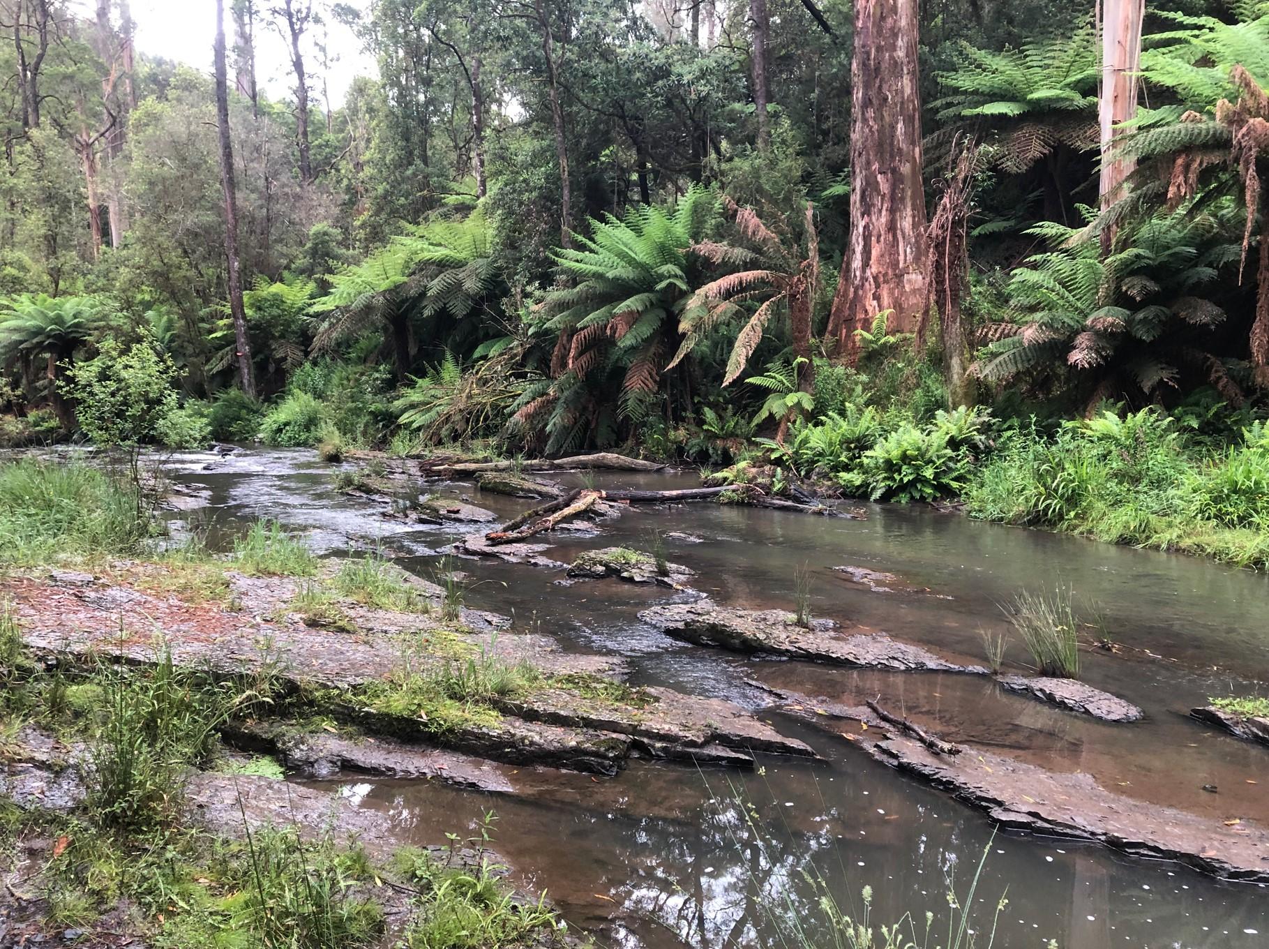
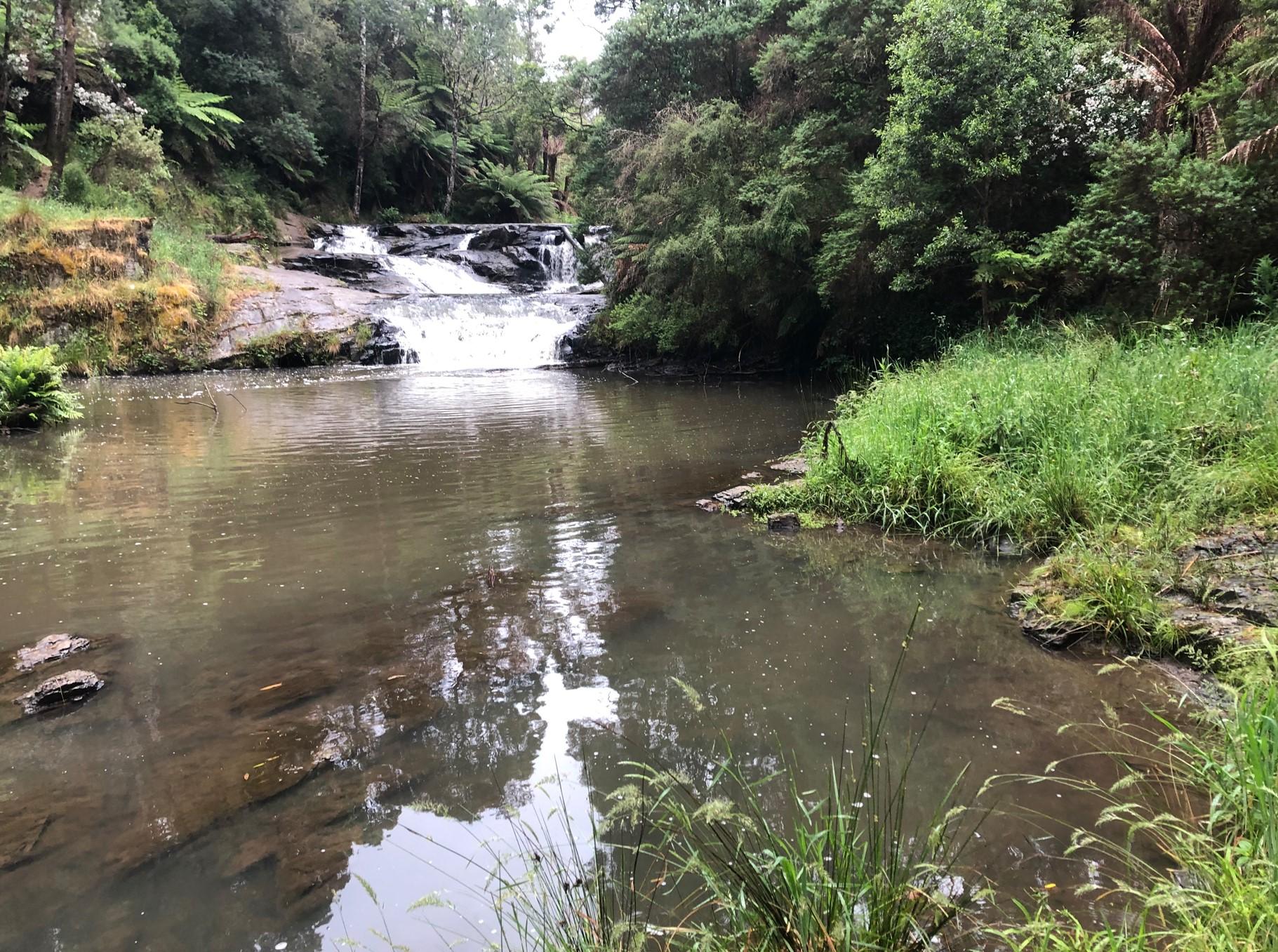
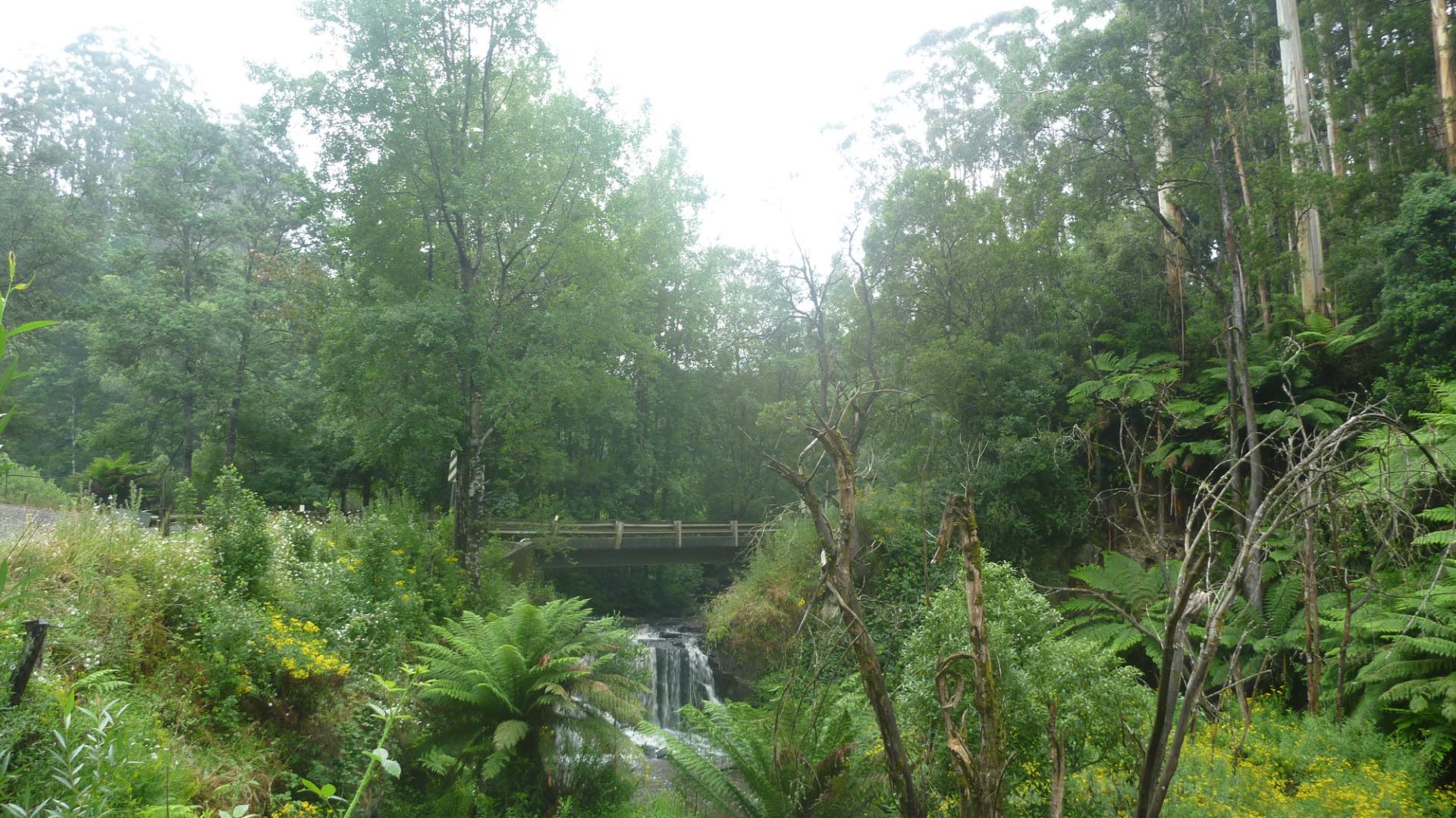
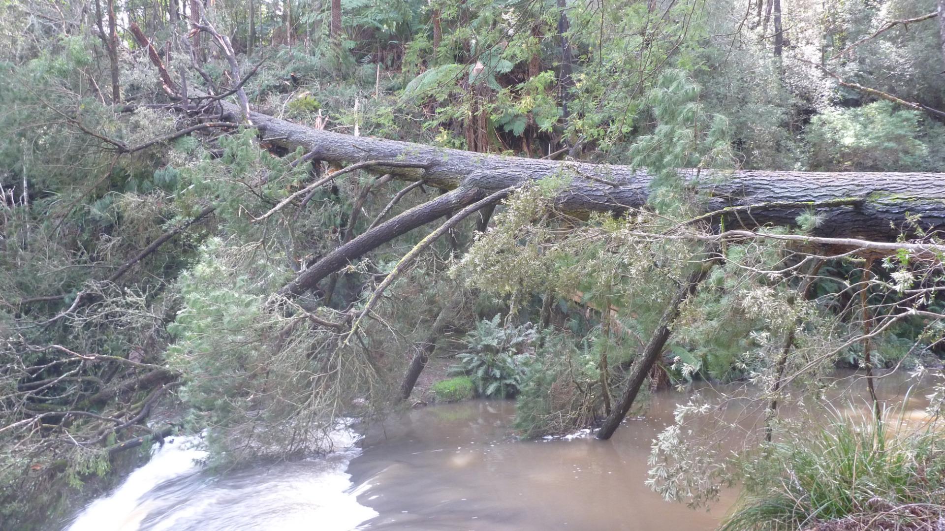
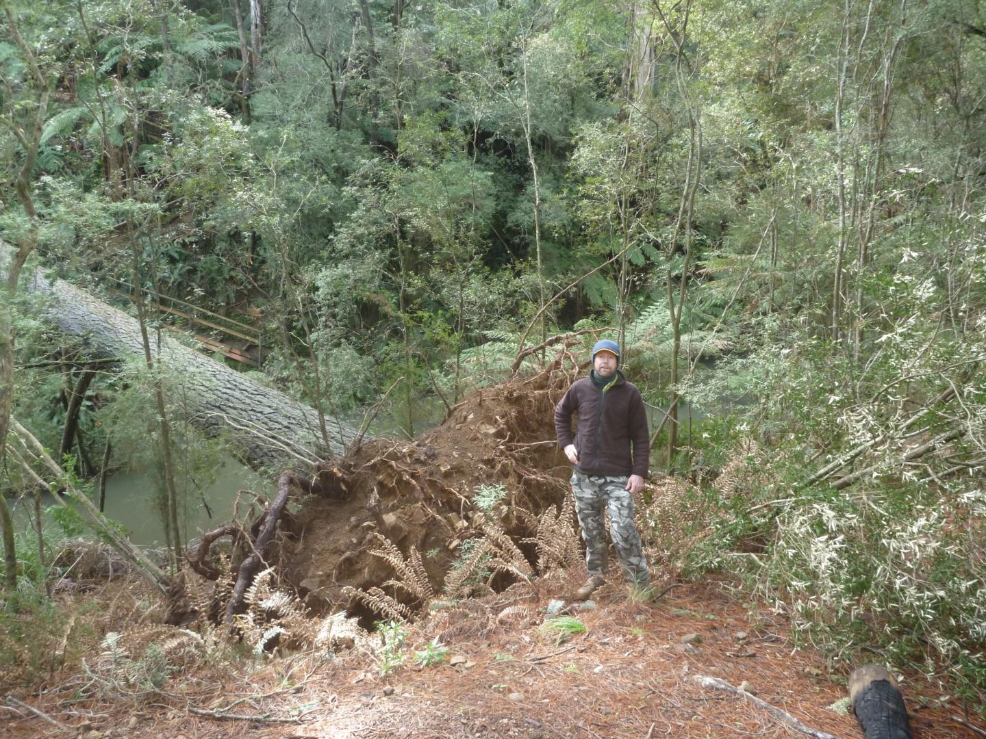
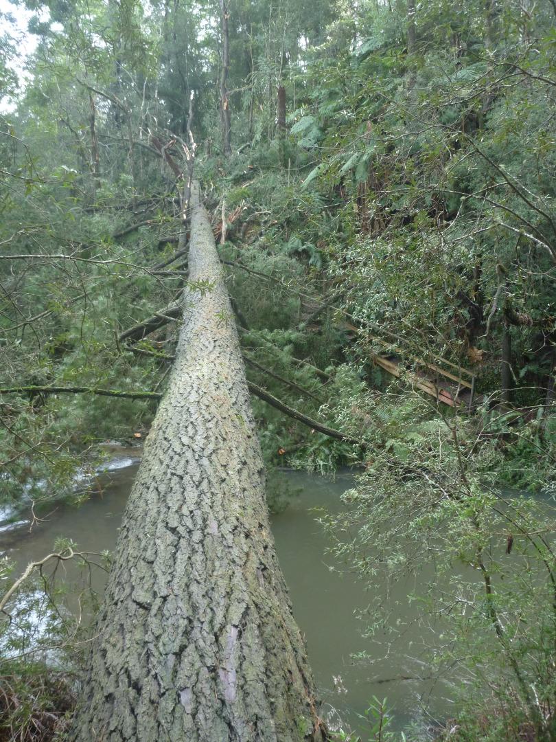
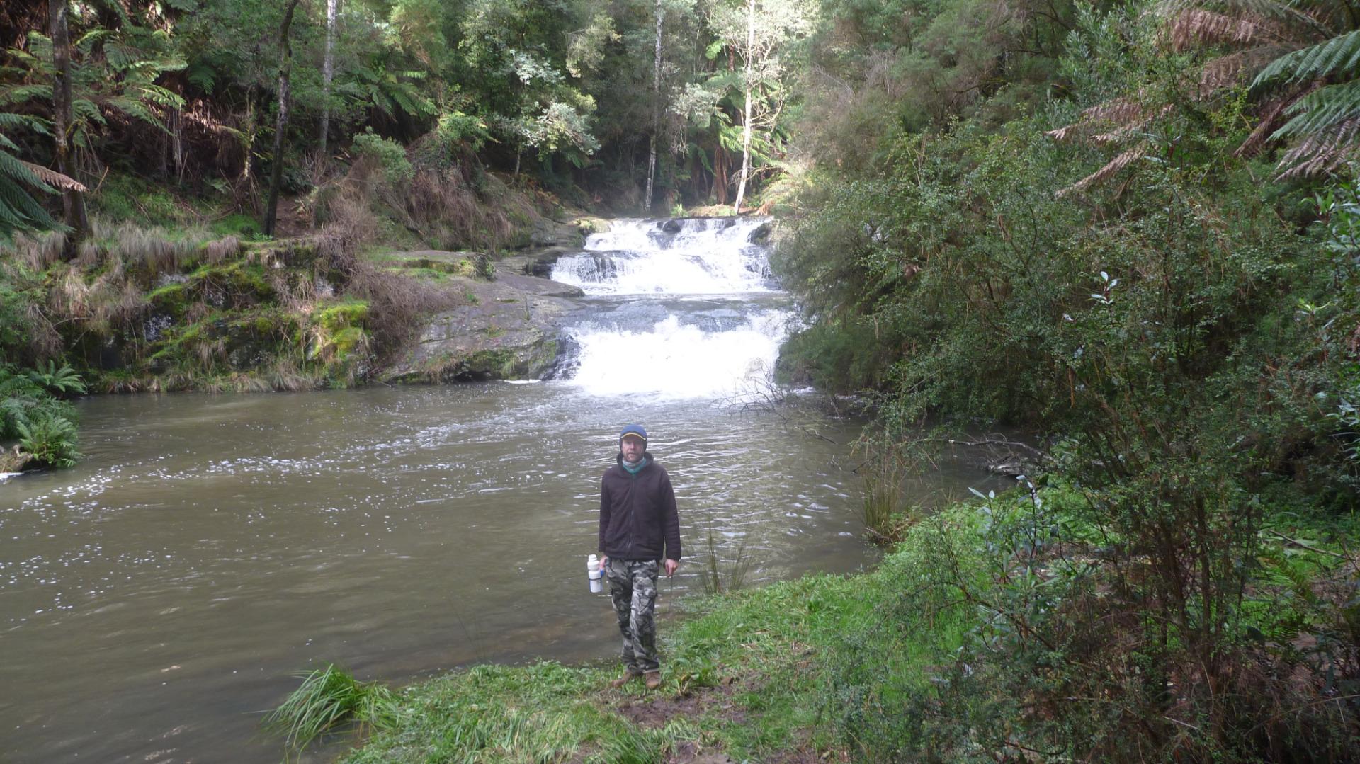
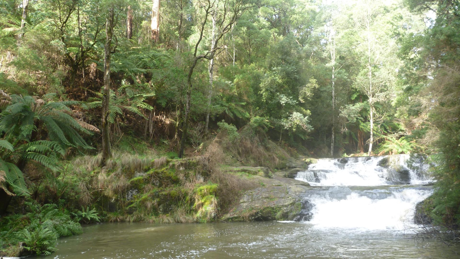
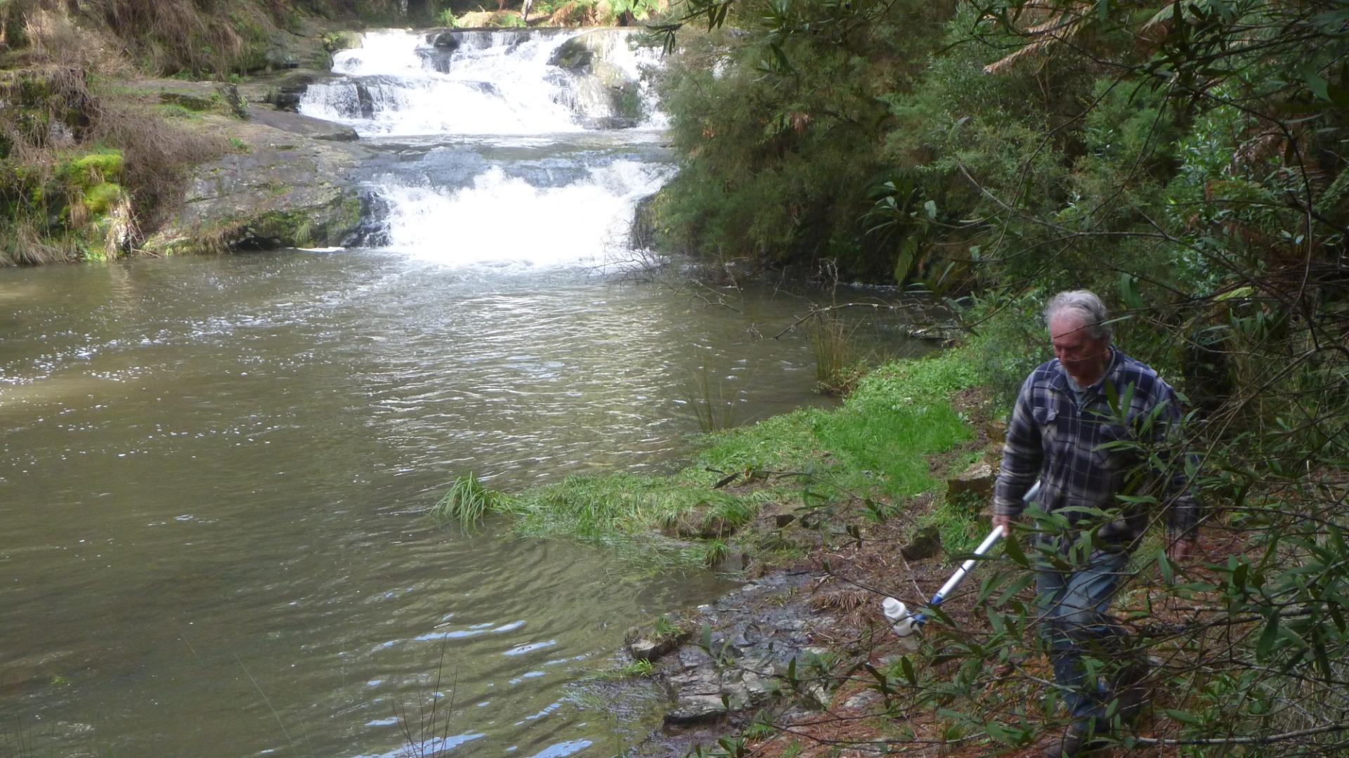
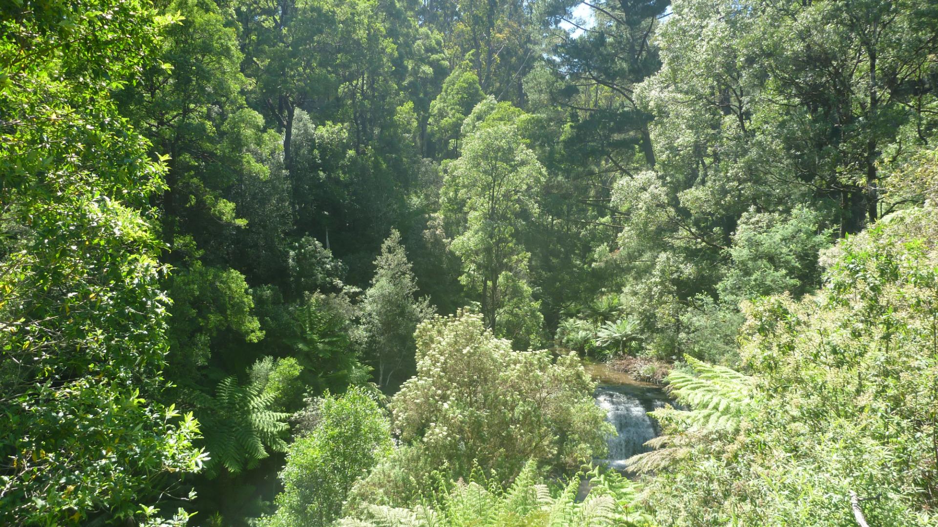
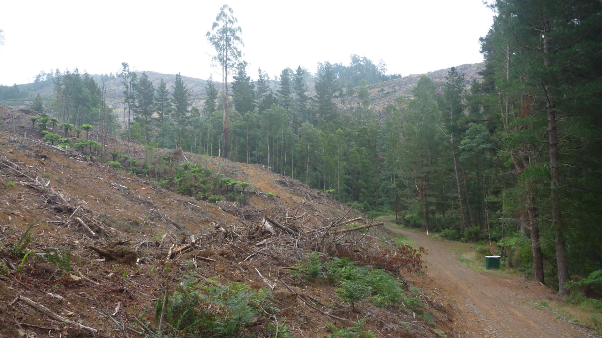
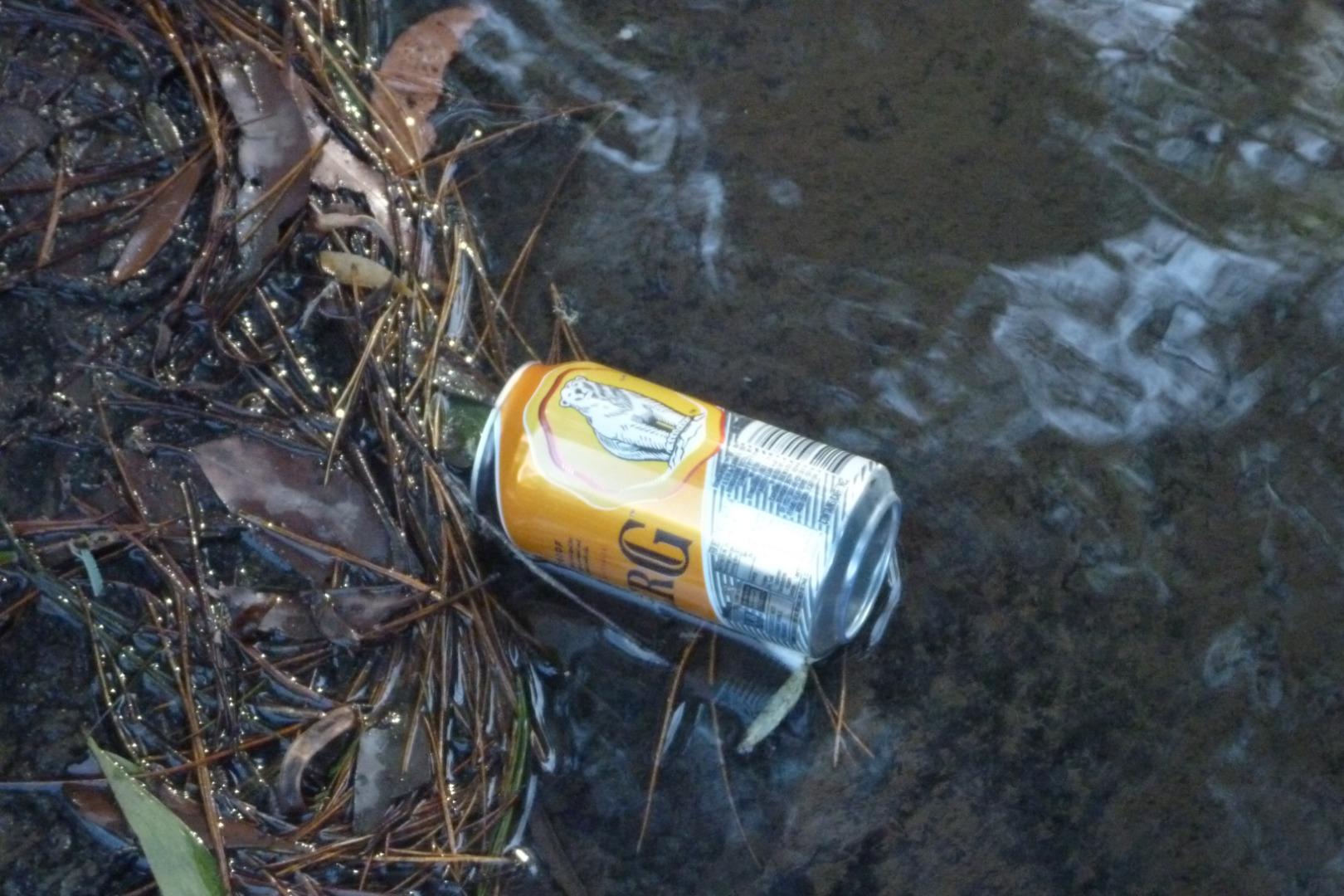
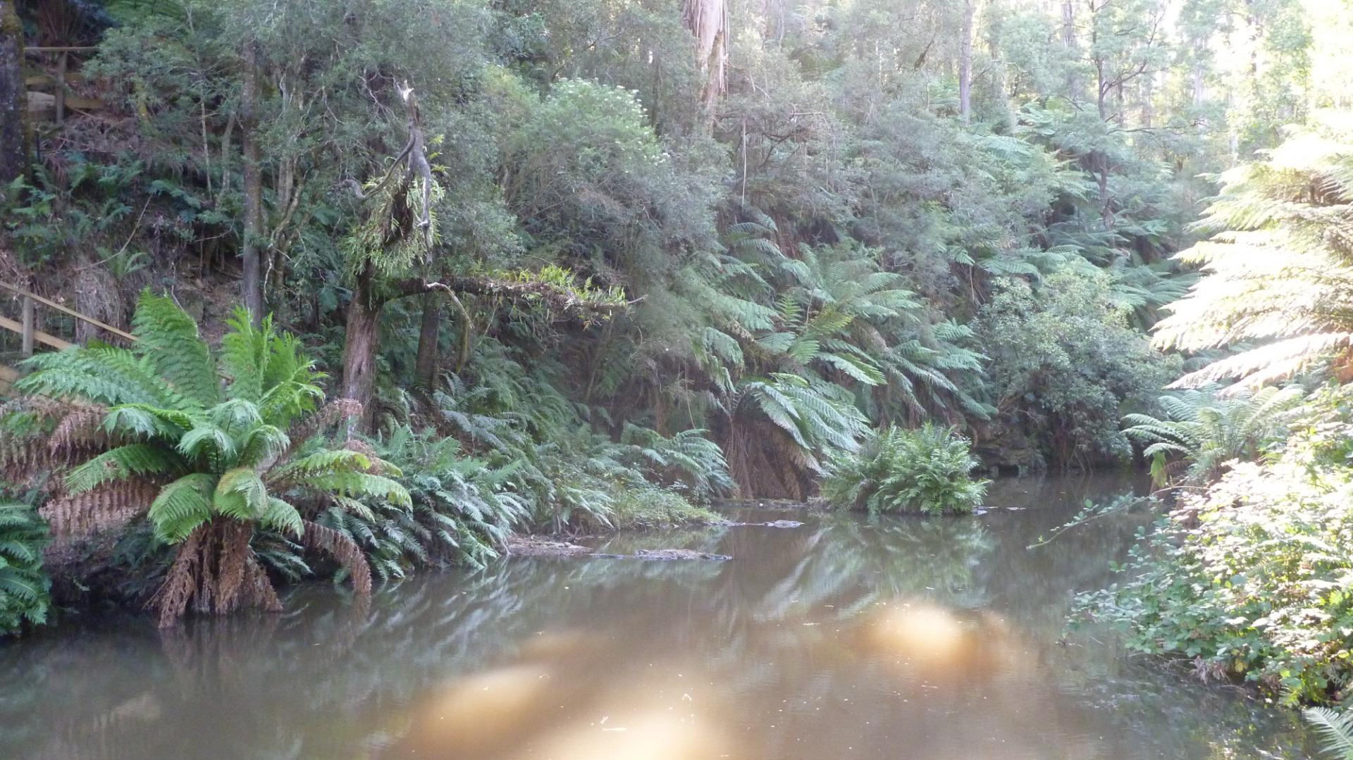
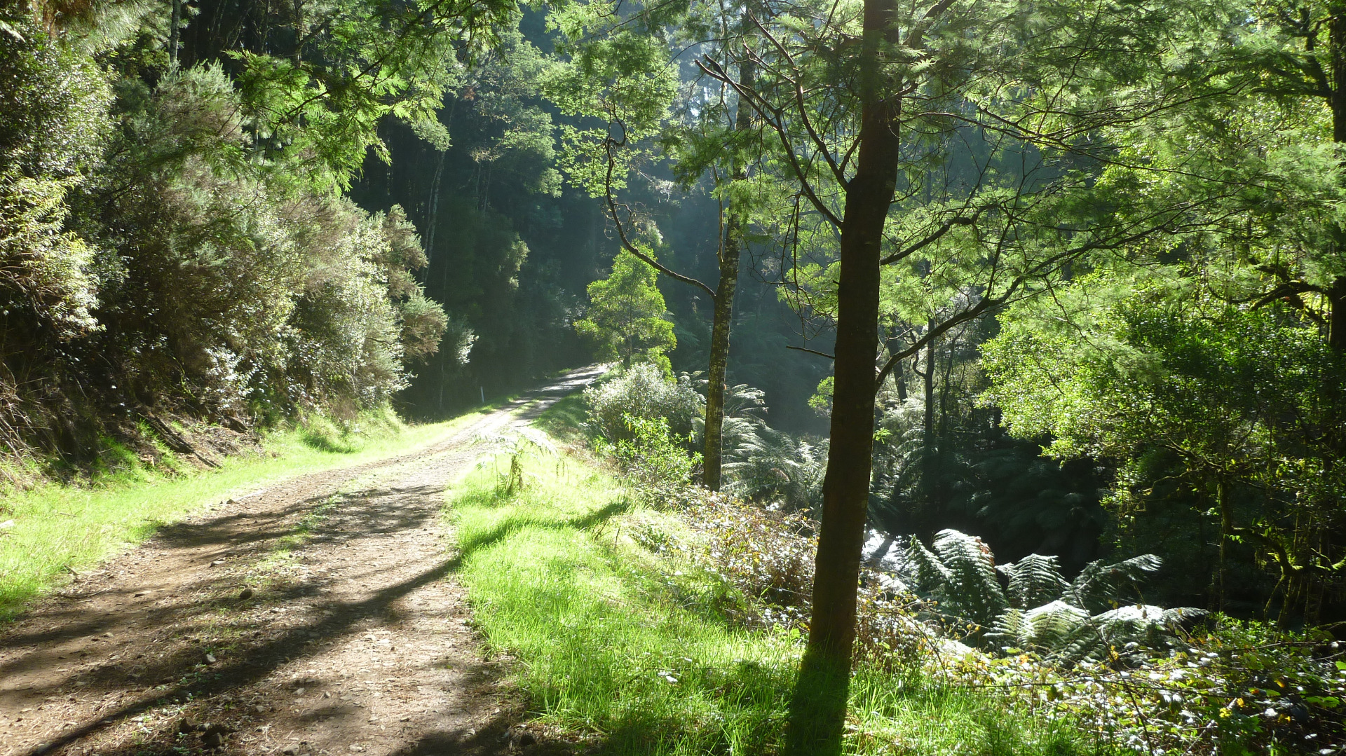
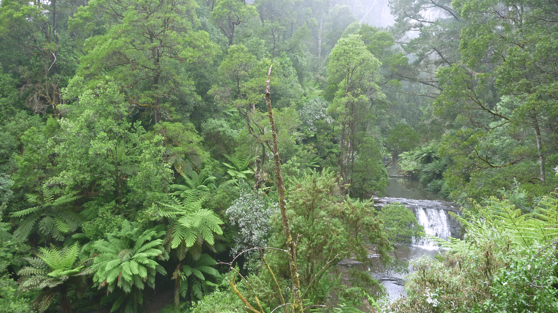
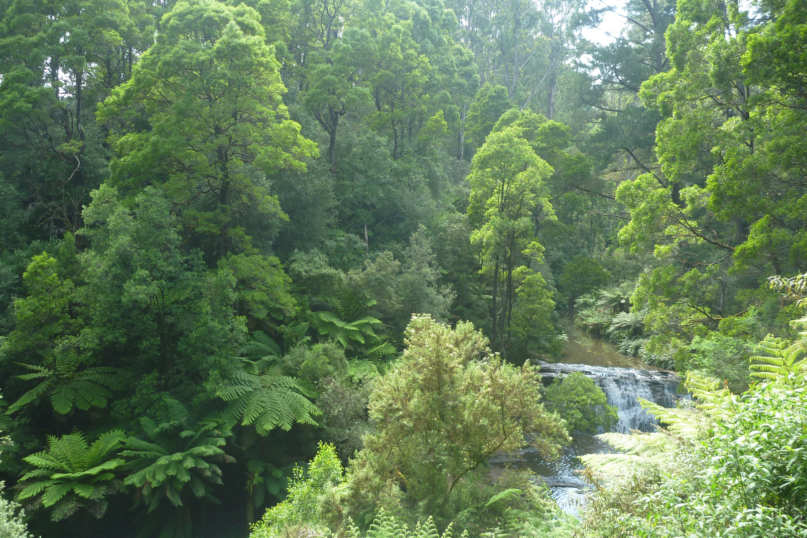
| Site name | Morwell River @ the Falls |
| Status | Active |
| Water Authority | West Gippsland |
| Basin | Latrobe River |
| Catchment | Latrobe River |
| Sub catchment | Morwell River |
| Reach | 26_20 Morwell River |
| Water type | Other |
| Council | Latrobe City Council |
| History | View all 162 site visits 14-03-2010 - 04-03-2024 |
| Monitoring organisations |
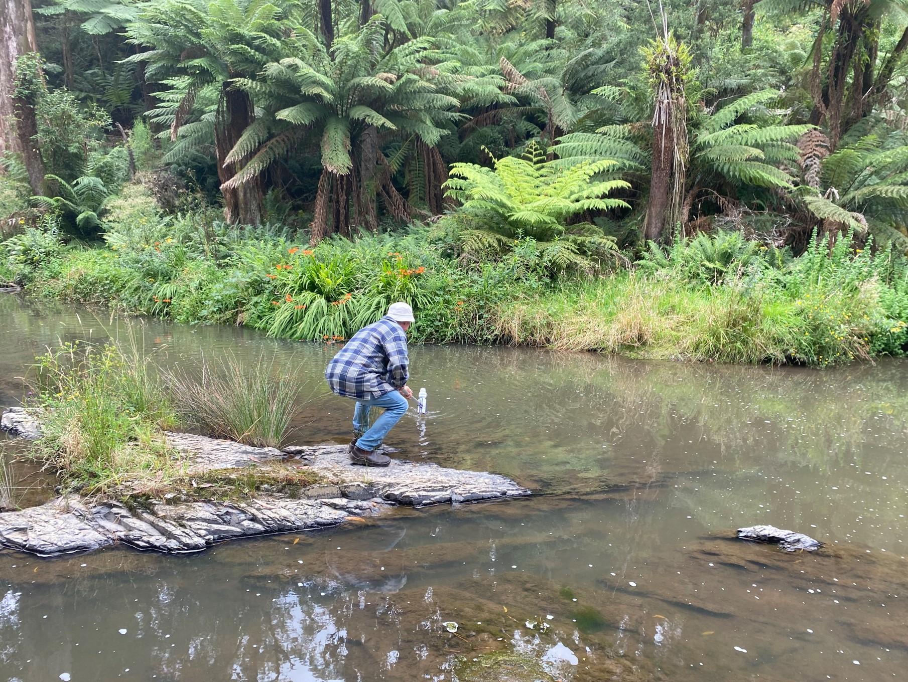
Site visits
 Loading chart
| Date | EC µS/cm | pH pH Units | rP mg/L P | Air ° C | Water ° C | Turb NTU |
|---|---|---|---|---|---|---|
| 08-06-2022 | 120 | 4.9 | 0 | 11 | 9.6 | 30 |
| 31-07-2022 | 140 | 6.3 | 0 | 13.4 | 9.4 | 10 |
| 14-09-2022 | 140 | 5 | 0.015 | 15.8 | 11.7 | 9.5 |
| 22-01-2023 | 150 | 6.6 | 0.03 | 23 | 16 | 9 |
| 13-02-2023 | 160 | 7.1 | 0.015 | 16.6 | 15.2 | 9 |
| 27-03-2023 | 170 | 7.3 | 0.048 | 18 | 15.6 | 9 |
| 11-07-2023 | 140 | 6.8 | 0.046 | 12 | 11.1 | 9.5 |
| 23-08-2023 | 140 | 7.1 | 0.02 | 12 | 10.4 | 11 |
| 13-09-2023 | 140 | 7 | 0.03 | 18 | 12.7 | 9 |
| 31-10-2023 | 150 | 7.3 | 0.015 | 14 | 11.7 | 10 |
| 24-12-2023 | 150 | 8 | 0.03 | 19.1 | 18.1 | 9 |
| 04-03-2024 | 160 | 7.8 | 0.015 | 21.8 | 16.4 | 9 |


All content, files, data and images provided by the Waterwatch Data Portal and Gallery are subject to a Creative Commons Attribution License
Content is made available to be used in any way, and should always attribute Waterwatch and www.vic.waterwatch.org.au
.png)