Waterwatch Data Portal
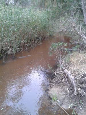
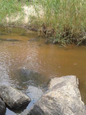
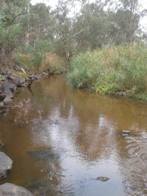
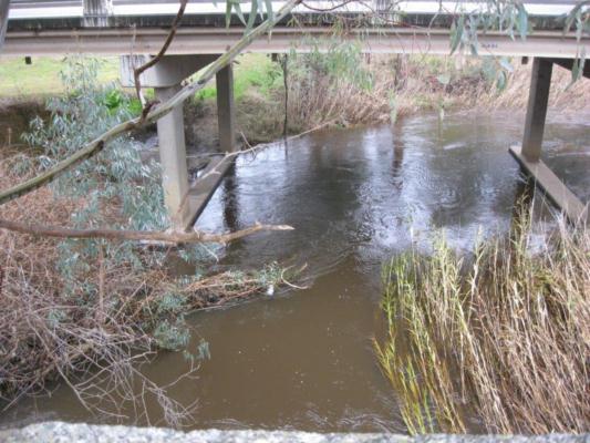
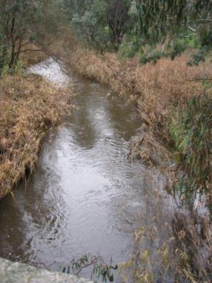
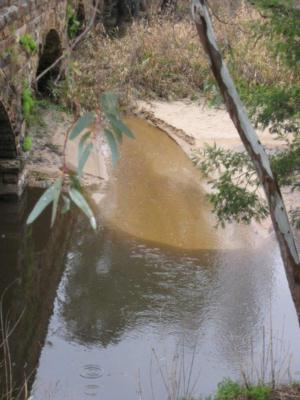
GB_HUG015 Hughes Creek opp end of Watson St - 500m downstream from Bluestone Bridge, Seymour Avenel Rd, Avenel
Site details
Overview
| Site code | GB_HUG015 |
|---|---|
| Site name | Hughes Creek opp end of Watson St - 500m downstream from Bluestone Bridge, Seymour Avenel Rd, Avenel |
| Status | Active |
| Water Authority | Goulburn-Broken |
| Basin | Goulburn River |
| Catchment | Goulburn River |
| Sub catchment | Hughes Creek |
| Reach | 5_37 Hughes Creek |
| Water type | Creek |
| Council | Strathbogie Shire Council |
| History | View all 26 site visits 15-09-1999 - 05-09-2023 |
| Monitoring organisations |
Site visits
 Loading chart
| Date | D.O. % | D.O mg/L | E coli orgs/100mL | EC µS/cm | pH pH Units | Rain mm | Air ° C | Water ° C | Coli orgs/100mL | P mg/L | Turb NTU |
|---|---|---|---|---|---|---|---|---|---|---|---|
| 05-09-2023 | 271 | 7.4 | 2 | 12 | 13.9 | 15 |
Habitat
| Date | Comment | Bank Erosion Stability | Bank Vegetation | In Stream Cover | Riffles Pools Bends | Verge Vegetation | Overall |
|---|---|---|---|---|---|---|---|
| 29-04-2013 | Fair 3 | Poor 4 | Fair 6 | Fair 3 | Fair 6 | Fair 22 |

All content, files, data and images provided by the Waterwatch Data Portal and Gallery are subject to a Creative Commons Attribution License
Content is made available to be used in any way, and should always attribute Waterwatch and www.vic.waterwatch.org.au
.png)