Waterwatch Data Portal
NE_COR075 Corryong Creek, Lamberts Road Bridge +200m up
22 January 2020
Site visit details
Overview
| Catchment | Upper Murray River |
|---|---|
| Site | Corryong Creek, Lamberts Road Bridge +200m up NE_COR075 |
| Date and Time | Wednesday 22nd January 2020 13:15pm |
| Approved | Approved |
Physical Chemical Tests
| D.O. % | D.O mg/L | EC µS/cm | pH pH Units | rP mg/L P | Water ° C | P mg/L | Turb FTU | Turb NTU | |
|---|---|---|---|---|---|---|---|---|---|
| Sample | 52.4839 | 4.4 | 140 | 7.42 | 24.2 | 350 |
| Weather | sunny |
|---|---|
| Last rainfall | During the last week |
| Flow estimate | MEDIUM: flow is normal/typical average flow |
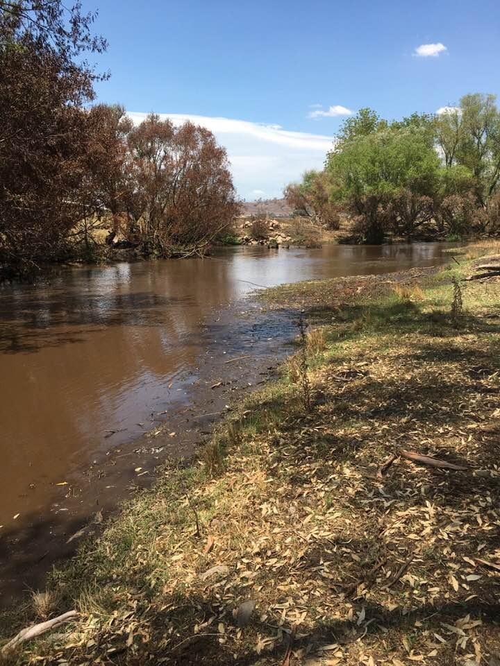
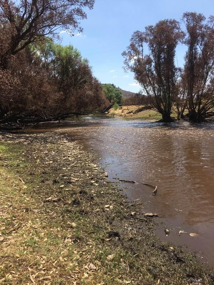
| Water Appearance | |
| Stream depth | 0 - 50cm |
| Stream width | > 5m |
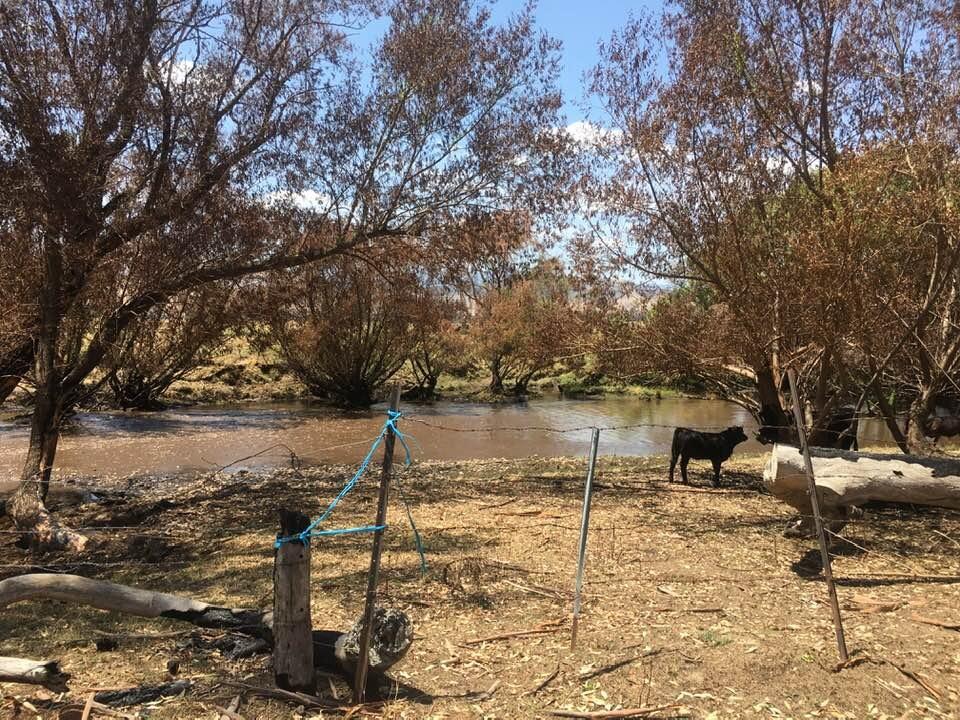
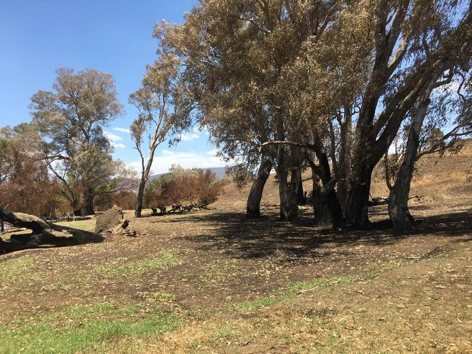
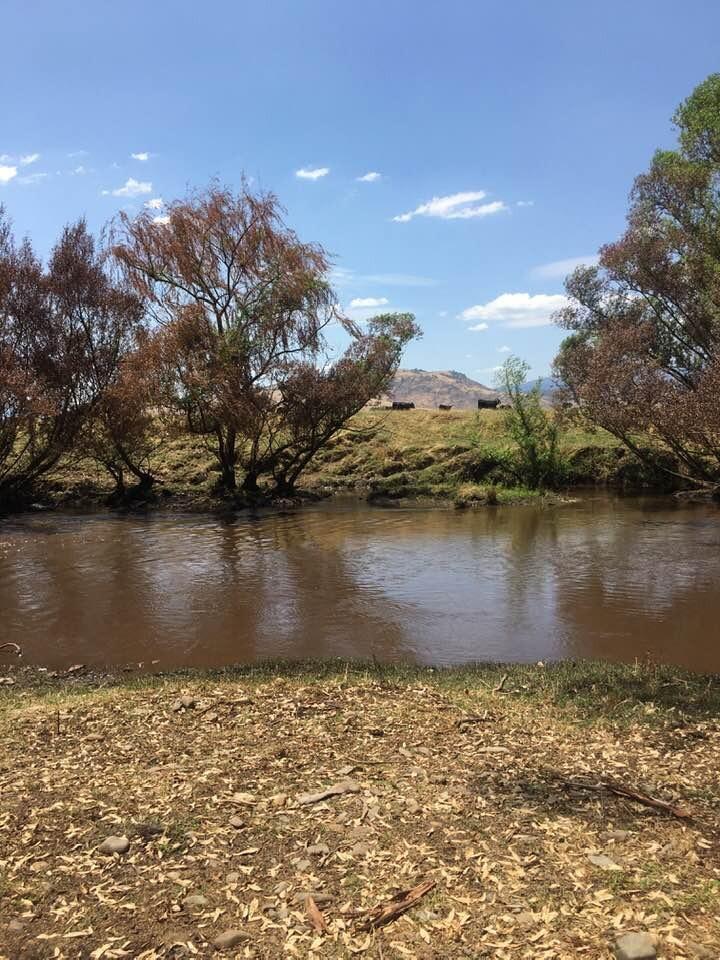
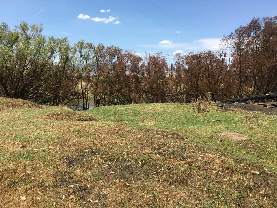
| Hazards | fire has gone through this section of water. |
| Litter/Pollutants |
Took a sample of water as turbidity too high so could test it. Fire burnt on both sides of river. Cattle in and around edges of bank. Crossing through and easily startled. Silt on banks covering vegetation.

All content, files, data and images provided by the Waterwatch Data Portal and Gallery are subject to a Creative Commons Attribution License
Content is made available to be used in any way, and should always attribute Waterwatch and www.vic.waterwatch.org.au
.png)