Waterwatch Data Portal
Site details
Overview
| Site code | NC_CMB150 |
|---|---|
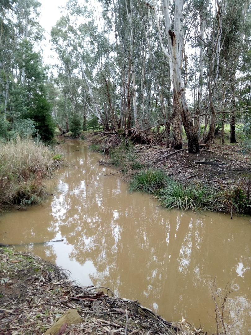
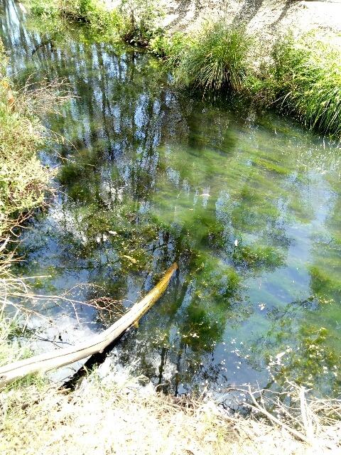
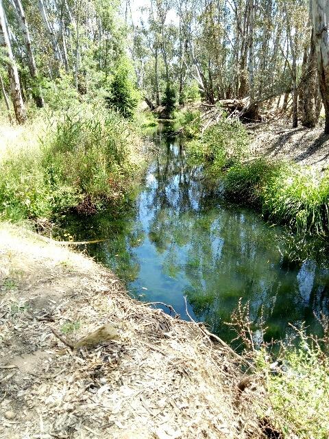
| Site name | Campbells Creek, Crossing Princess Road |
| Status | Active |
| Water Authority | North Central |
| Basin | Loddon River |
| Catchment | Loddon River |
| Sub catchment | Loddon River |
| Reach | 7_29 Campbells Creek |
| Water type | Creek |
| Council | Mount Alexander Shire Council |
| History | View all 99 site visits 28-09-2015 - 31-03-2024 |
| Monitoring organisations |
Site visits
 Loading chart
| Date | EC µS/cm | pH pH Units | rP mg/L P | Air ° C | Water ° C | Turb NTU |
|---|---|---|---|---|---|---|
| 29-04-2022 | 1207 | 7.3 | 0.36 | 18 | 18.7 | 9 |
| 31-05-2022 | 1100 | 7 | 0.15 | 9 | 13 | 24 |
| 14-06-2022 | 1237 | 7.2 | 0.15 | 10 | 13.5 | 9 |
| 31-08-2022 | 659 | 7.2 | 0.1 | 14 | 13 | 35 |
| 30-09-2022 | 680 | 7.3 | 0.1 | 20 | 16.5 | 12 |
| 31-10-2022 | 558 | 7.2 | 0.15 | 18 | 15 | 21 |
| 30-11-2022 | 1034 | 7.2 | 0.15 | 21 | 17.5 | 12 |
| 29-12-2022 | 1475 | 7.5 | 1 | 22 | 22 | 20 |
| 31-01-2023 | 1690 | 7.4 | 1 | 25 | 21 | 9 |
| 28-02-2023 | 1725 | 7.4 | 0.68 | 25 | 20 | 9 |
| 29-03-2023 | 1310 | 7.3 | 0.36 | 17 | 18 | 9 |
| 30-04-2023 | 1412 | 7.2 | 0.36 | 14 | 12.5 | 13 |
| 31-05-2023 | 1233 | 7.2 | 0.3 | 15 | 13.9 | 14 |
| 30-06-2023 | 980 | 7.1 | 0.035 | 12 | 10.2 | 9 |
| 31-07-2023 | 1215 | 7 | 0.08 | 12 | 10.3 | 9 |
| 29-09-2023 | 1576 | 7.2 | 0.3 | 25 | 15.7 | 9 |
| 30-10-2023 | 1397 | 7.4 | 0.3 | 20 | 18.7 | 9 |
| 30-11-2023 | 1614 | 7.3 | 0.4 | 20 | 20.2 | 9 |
| 31-12-2023 | 1378 | 7.2 | 0.4 | 22 | 21.6 | 9 |
| 28-02-2024 | 1705 | 7.3 | 0.5 | 28 | 20.9 | 9 |
Habitat
| Date | Comment | Bank Erosion Stability | Bank Vegetation | In Stream Cover | Riffles Pools Bends | Verge Vegetation | Overall |
|---|---|---|---|---|---|---|---|
| 28-09-2015 | Good 4 | Fair 6 | Fair 6 | Fair 3 | Poor 4 | Fair 23 |

All content, files, data and images provided by the Waterwatch Data Portal and Gallery are subject to a Creative Commons Attribution License
Content is made available to be used in any way, and should always attribute Waterwatch and www.vic.waterwatch.org.au
.png)