Waterwatch Data Portal
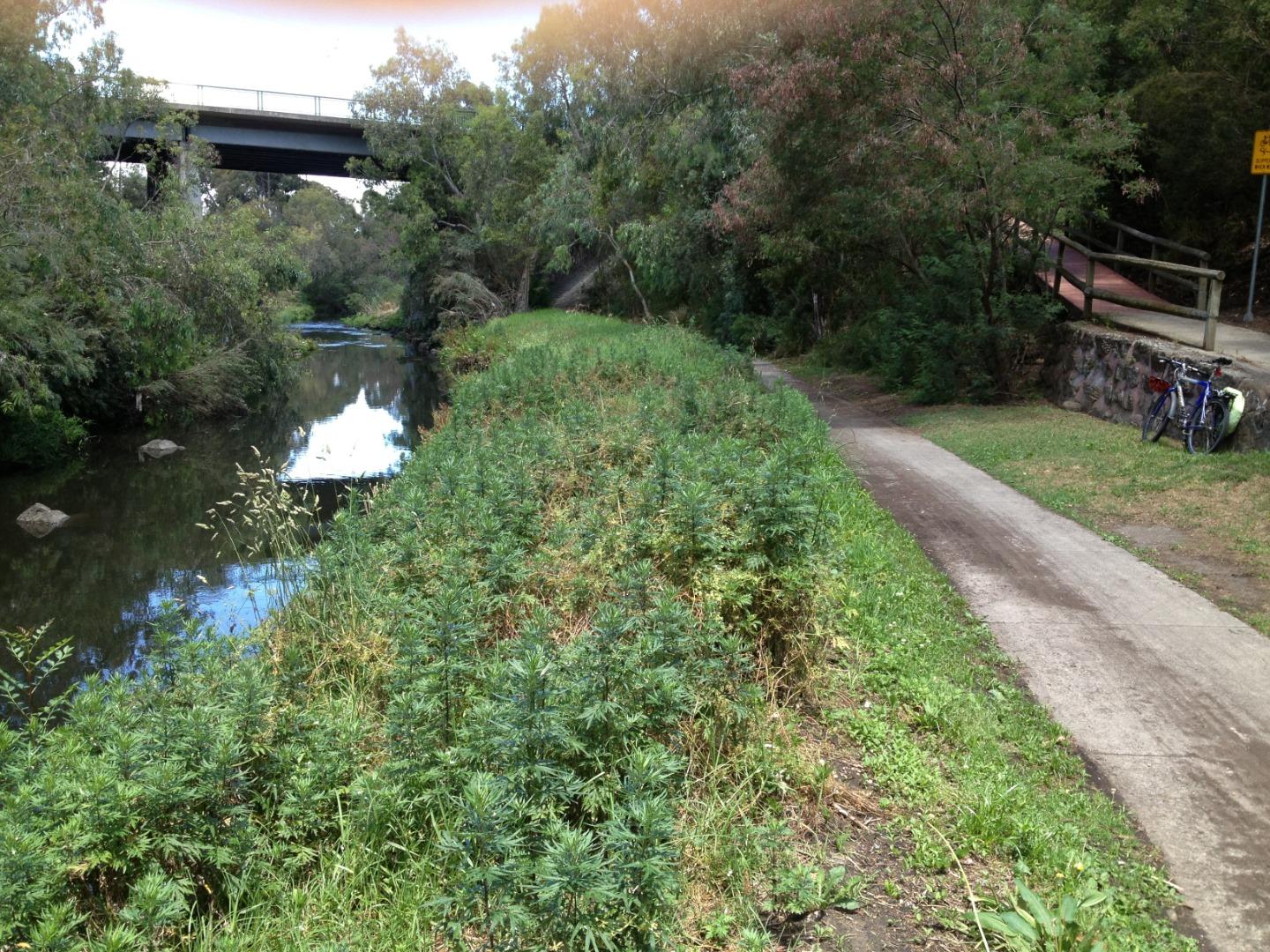
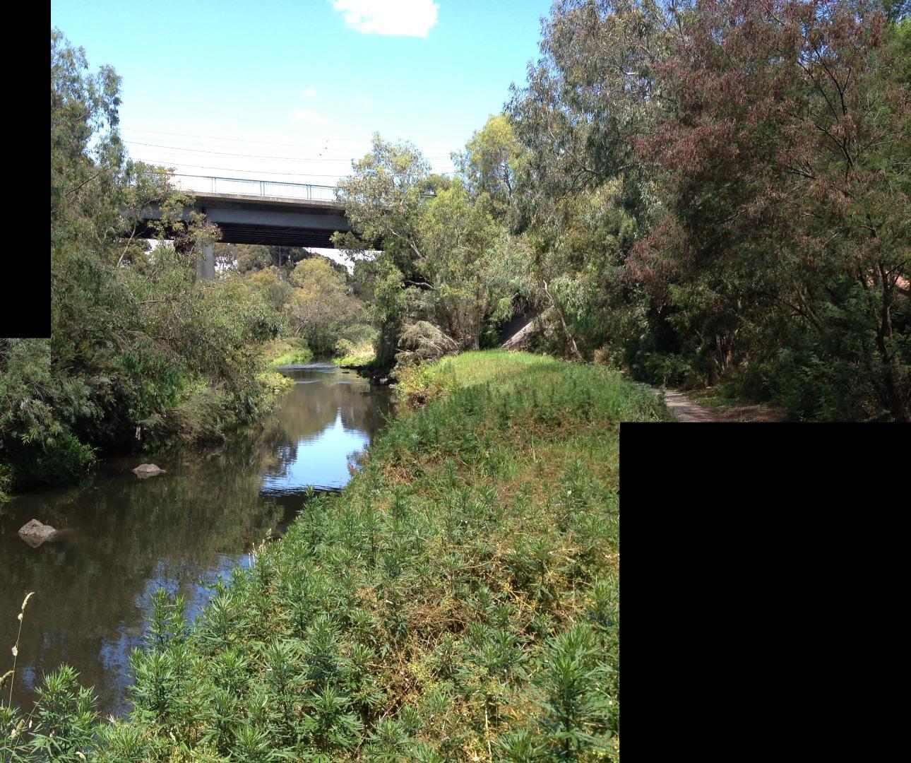
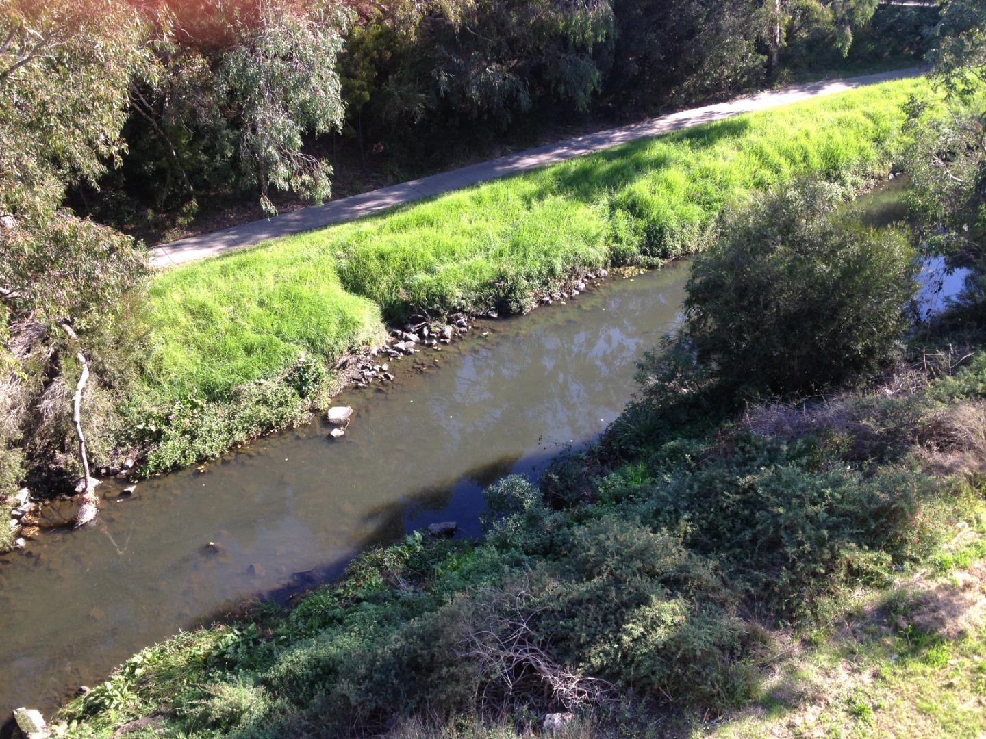
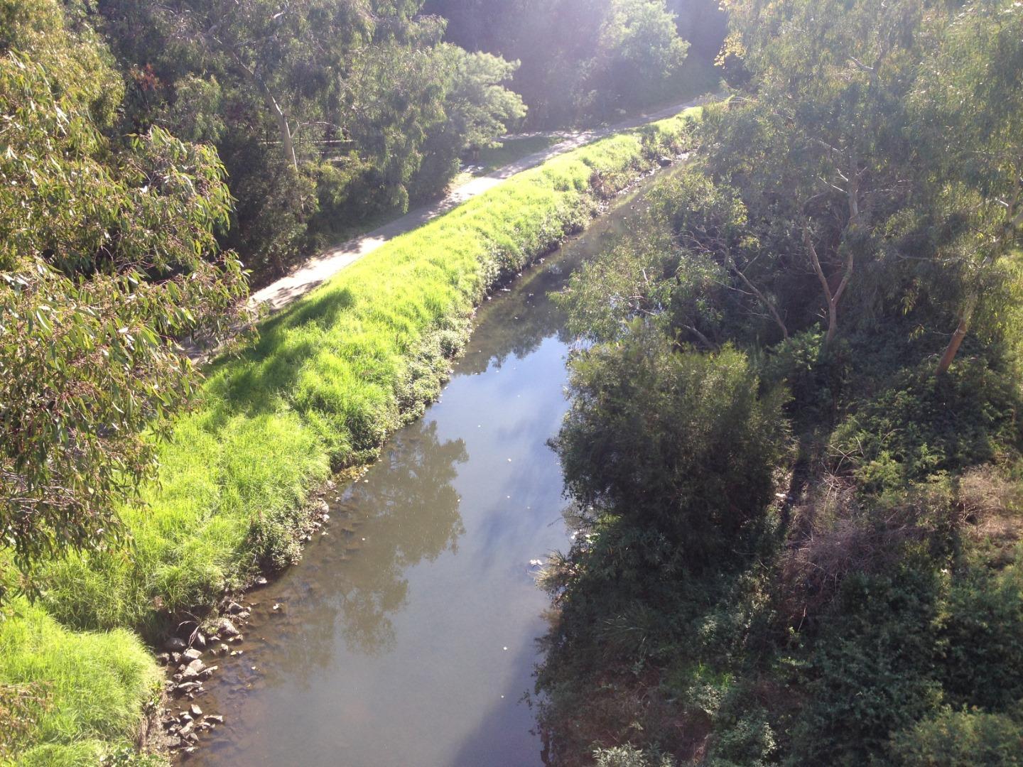
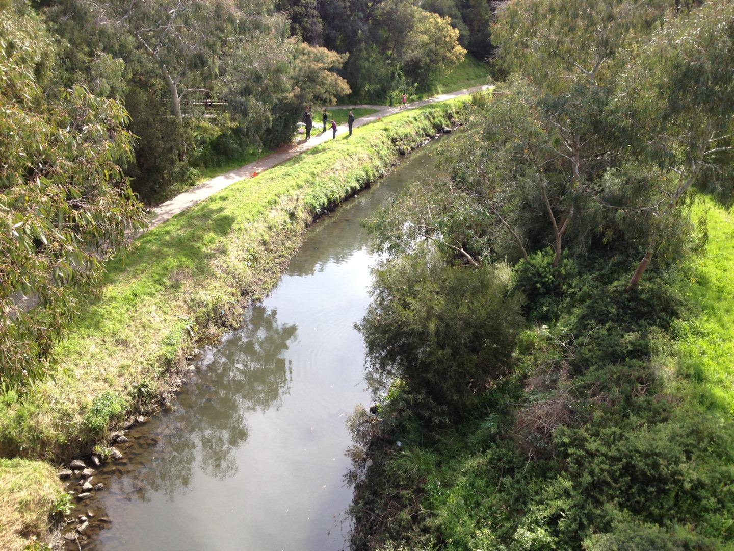
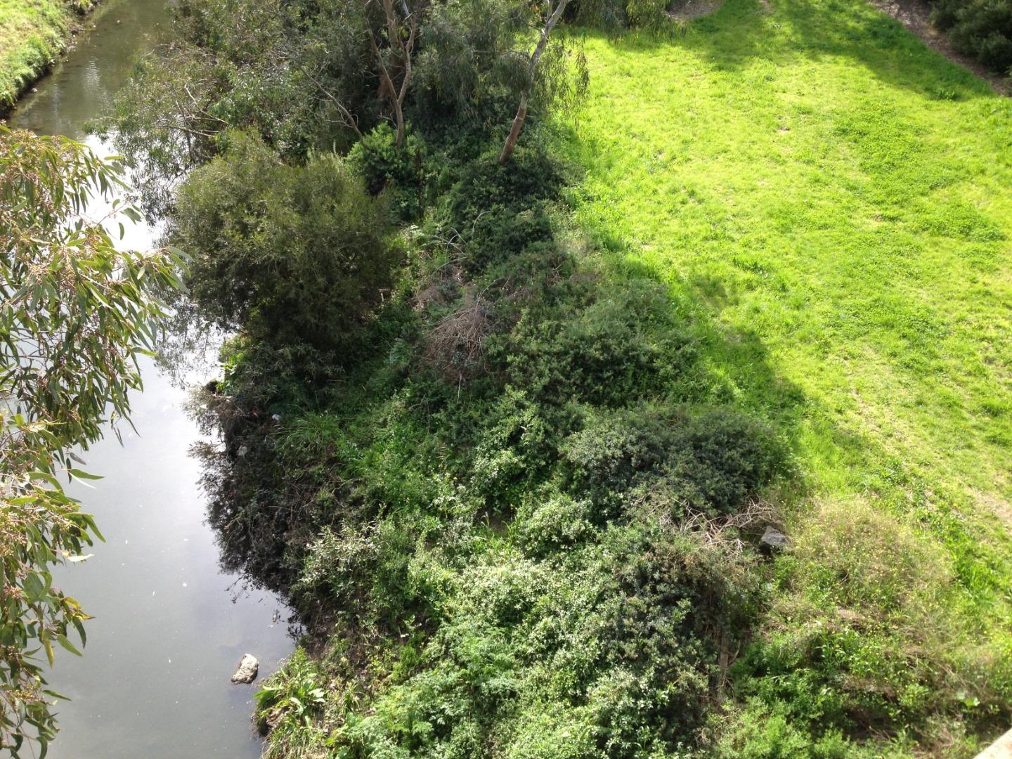
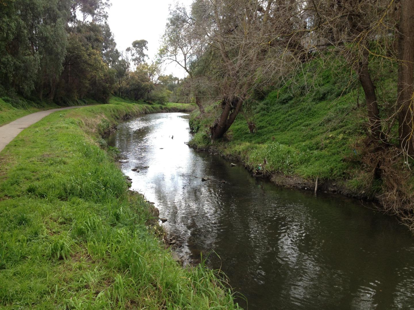
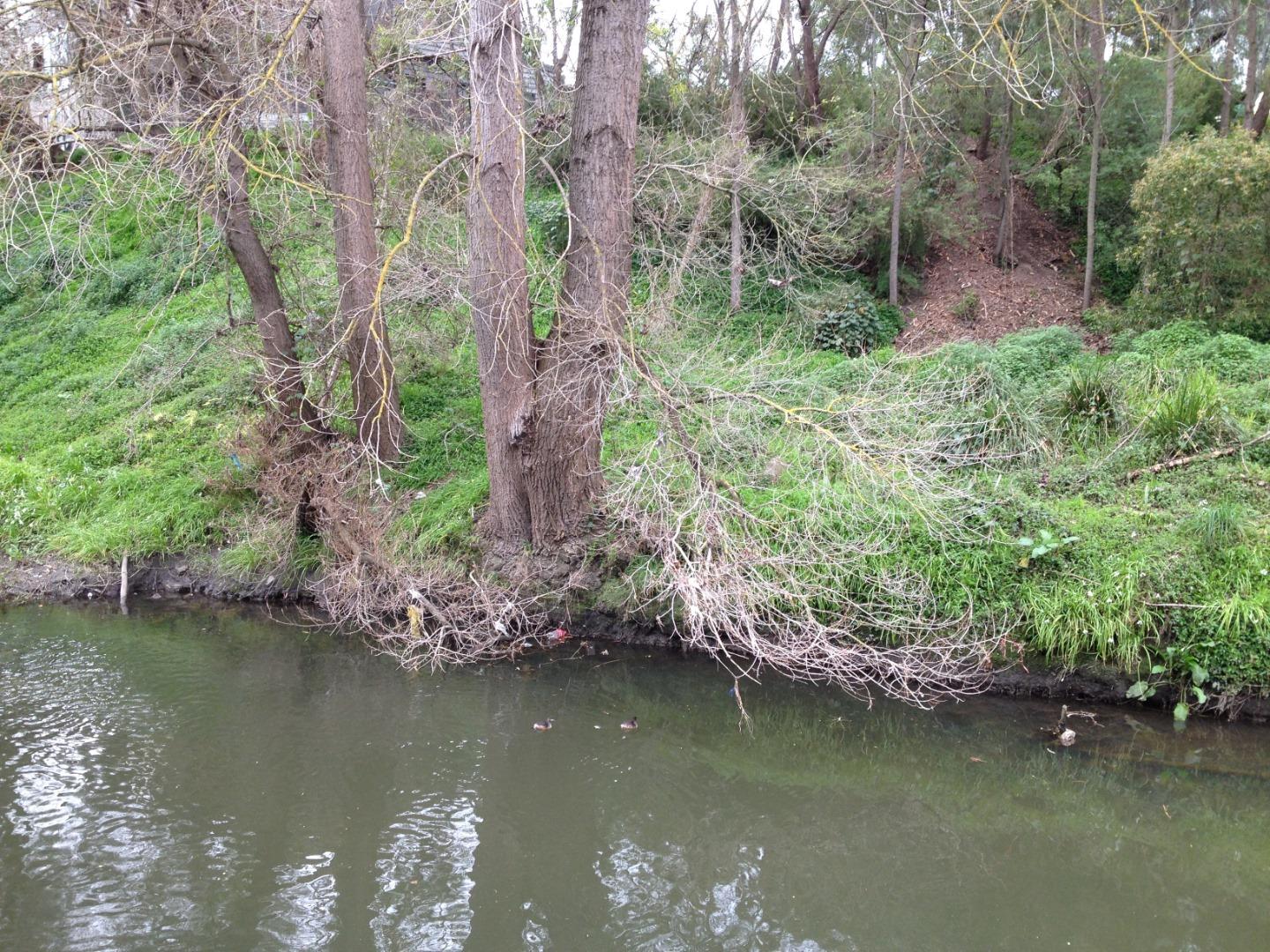
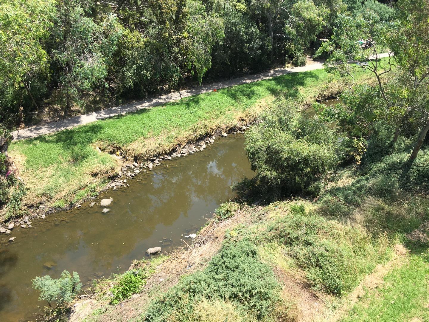
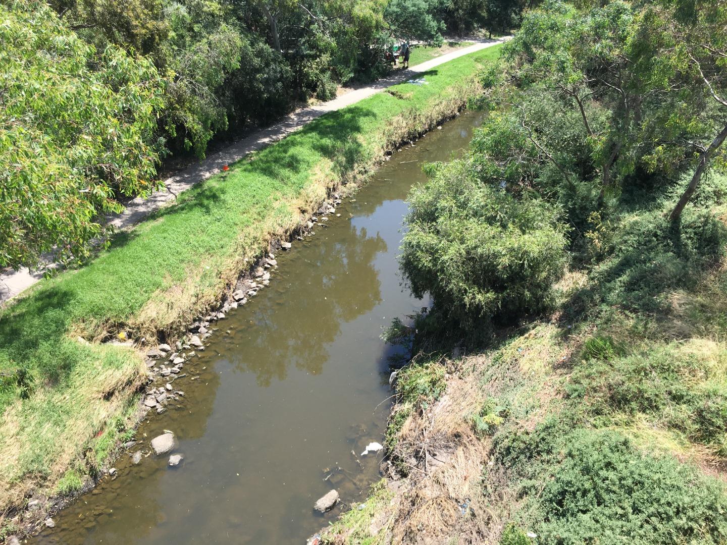
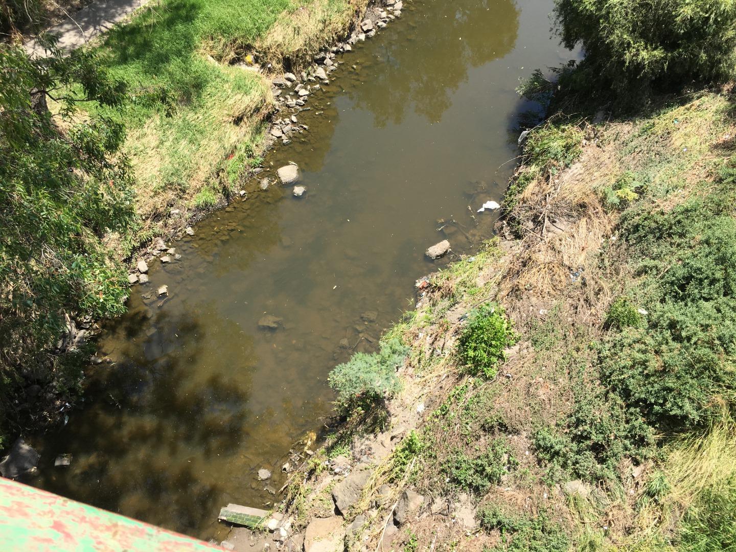
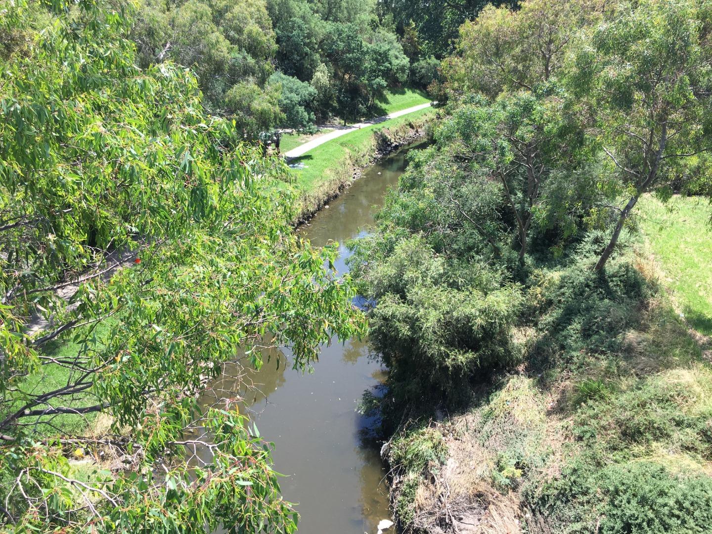
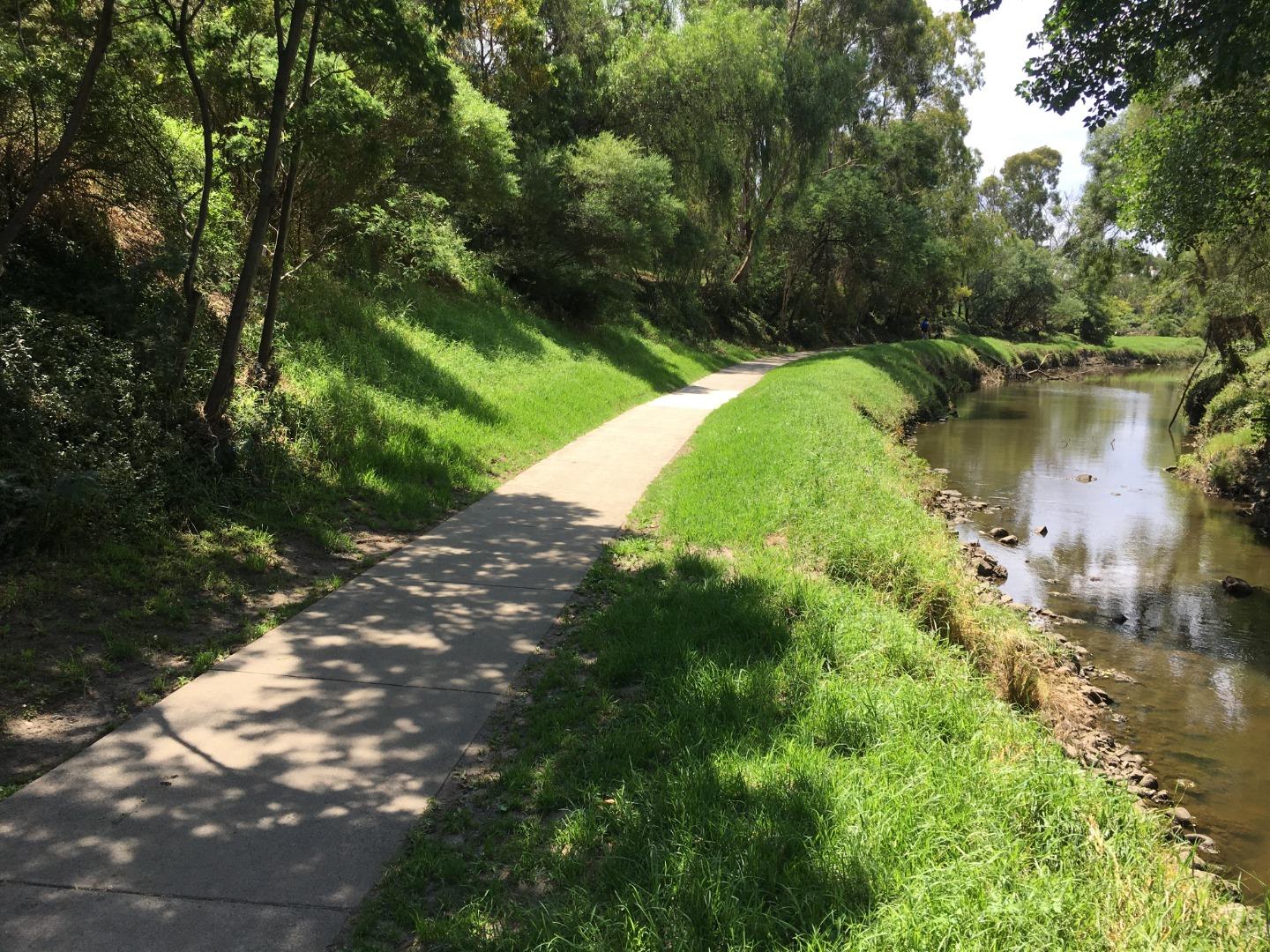
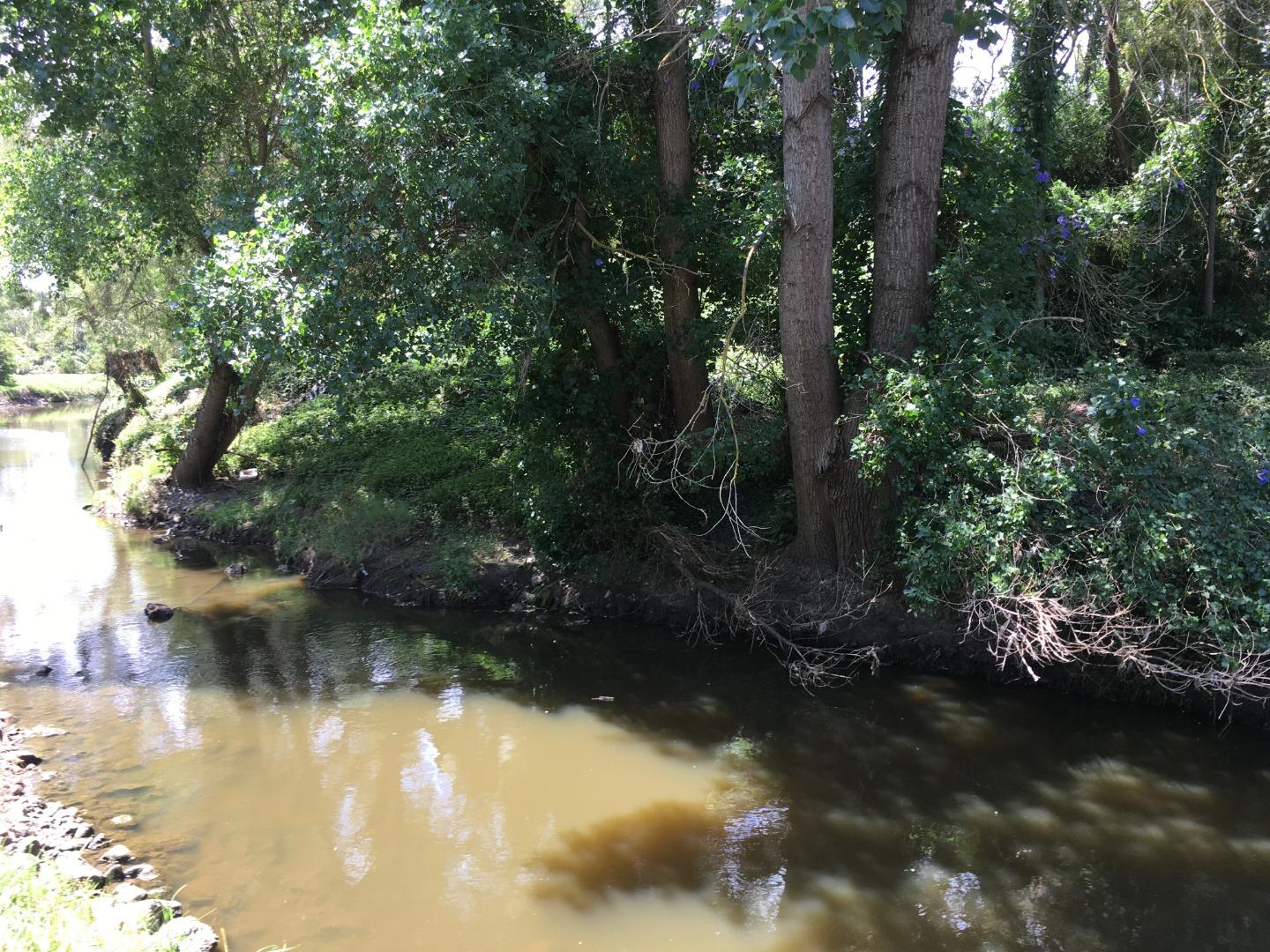
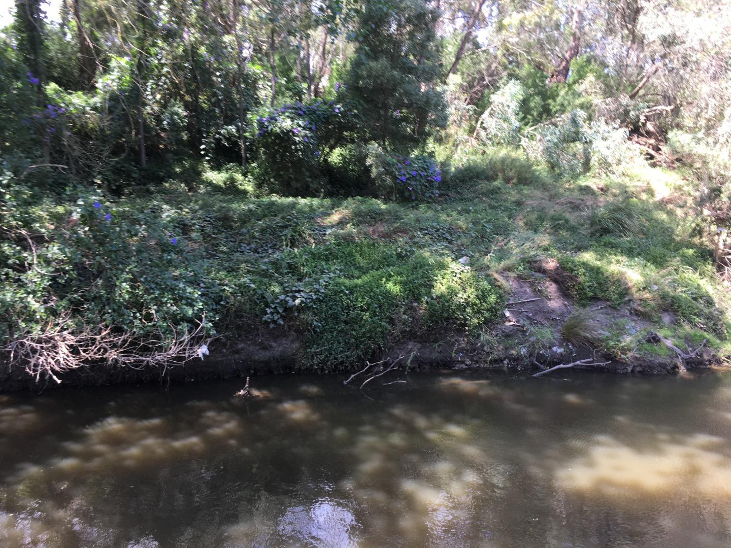
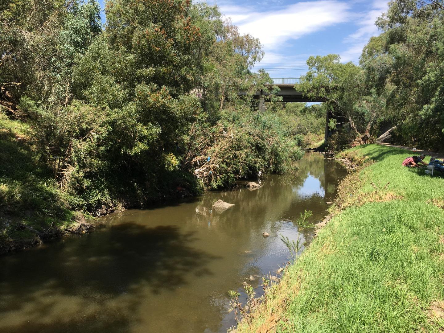
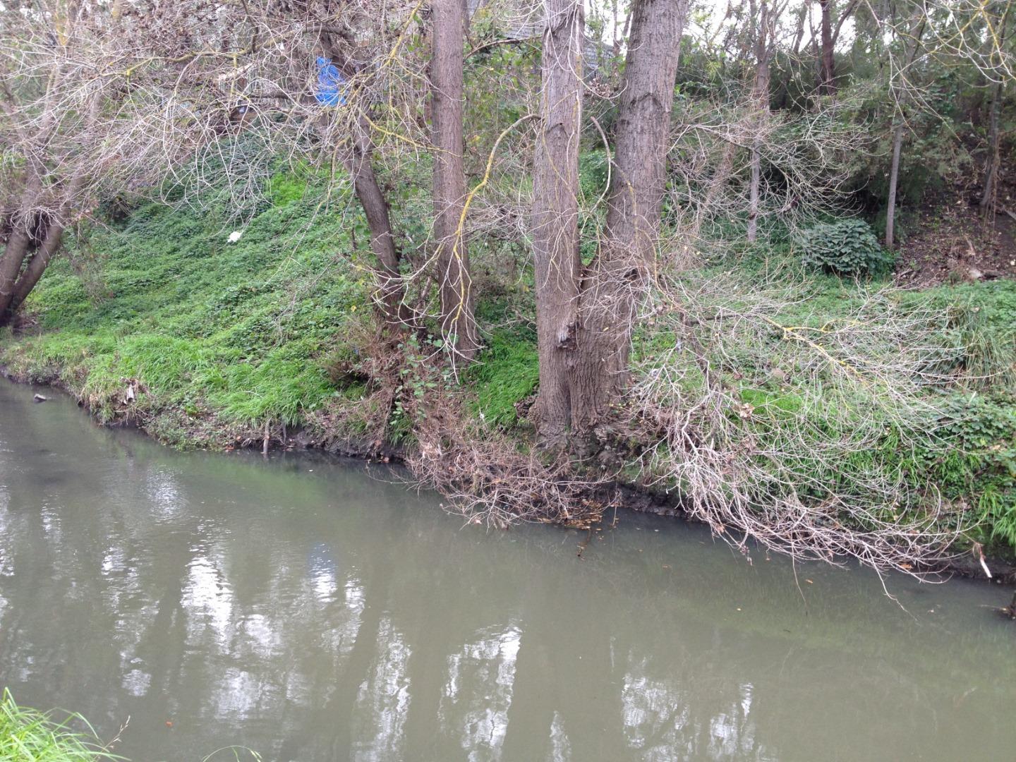
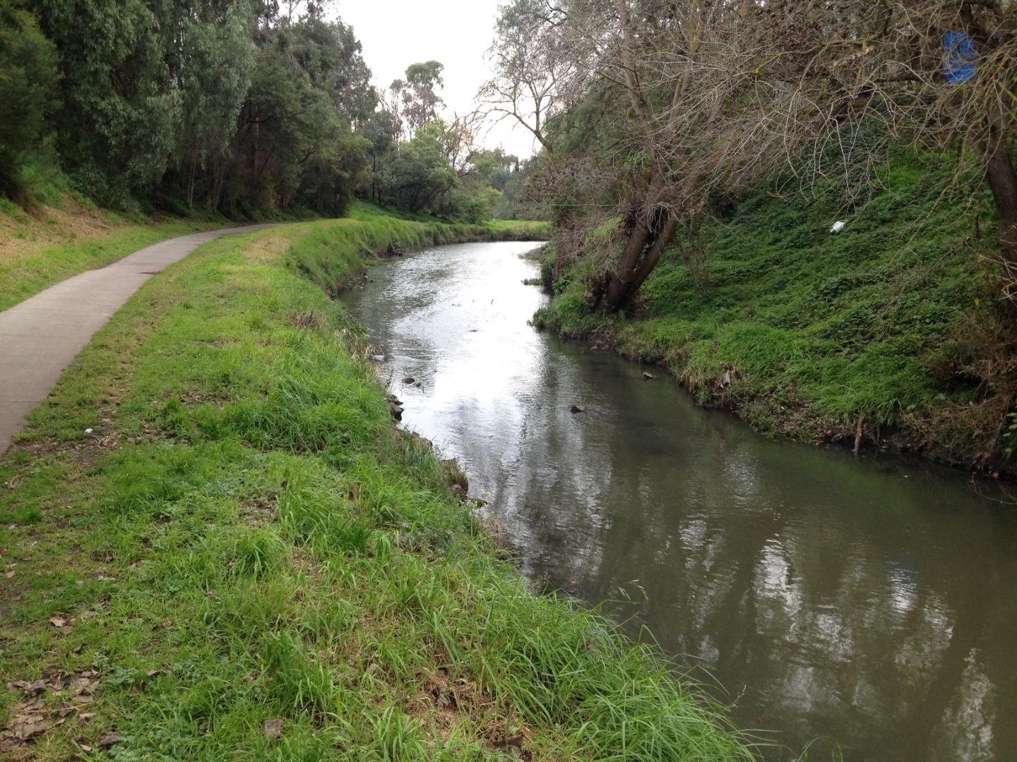
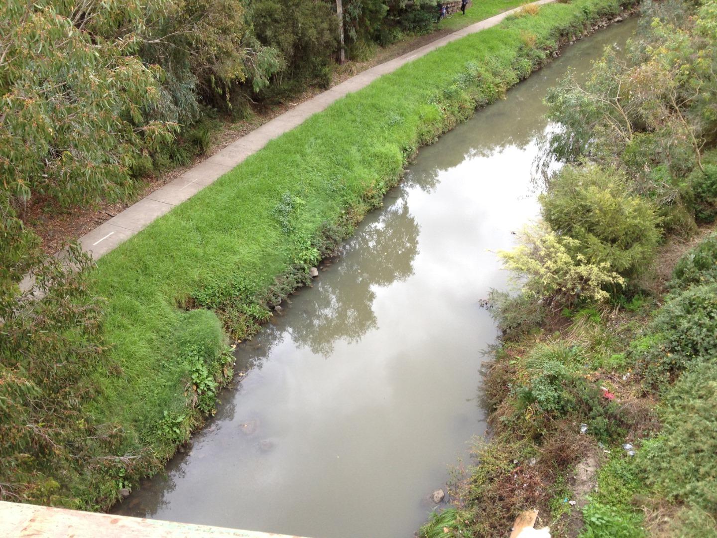
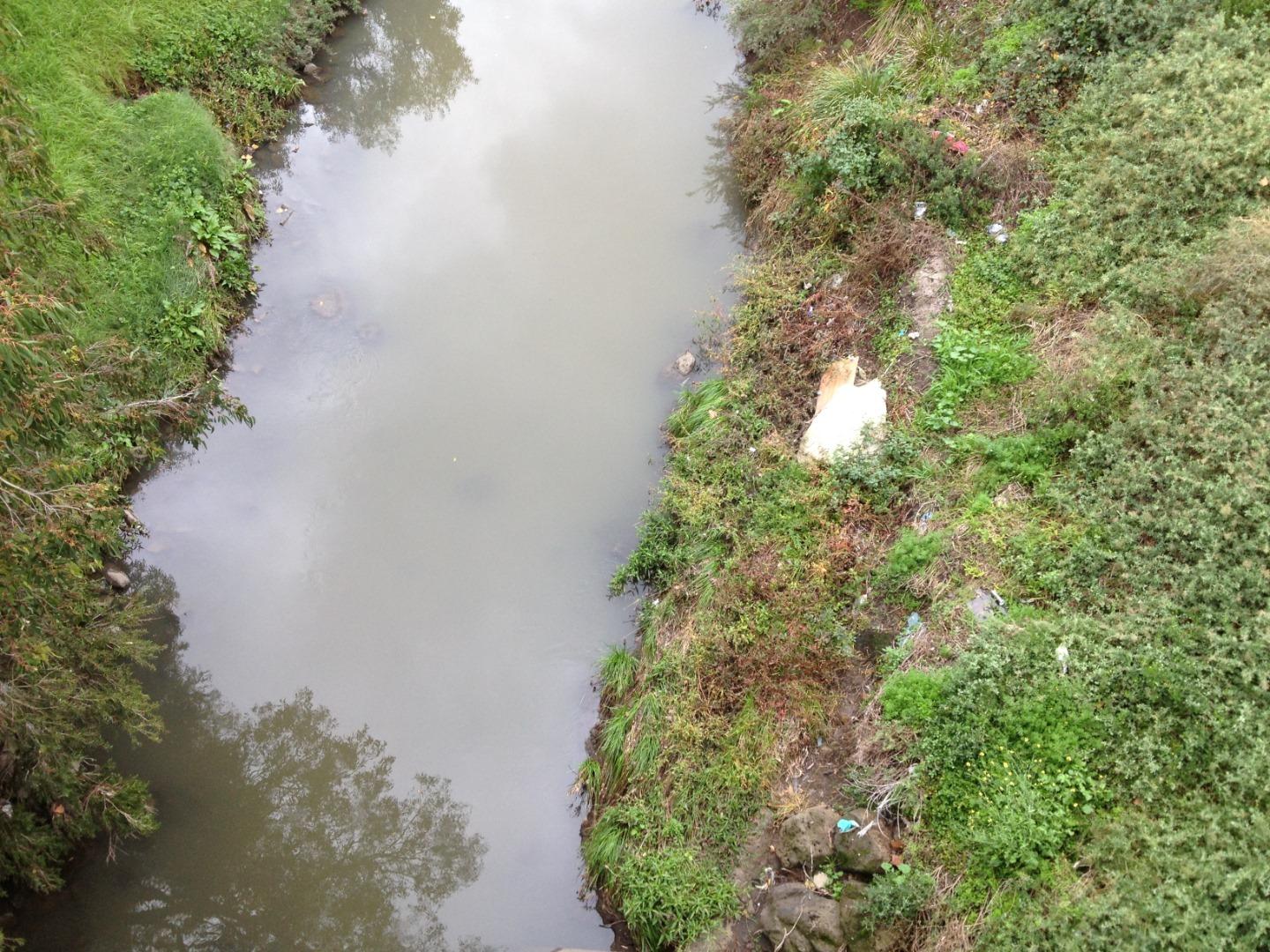
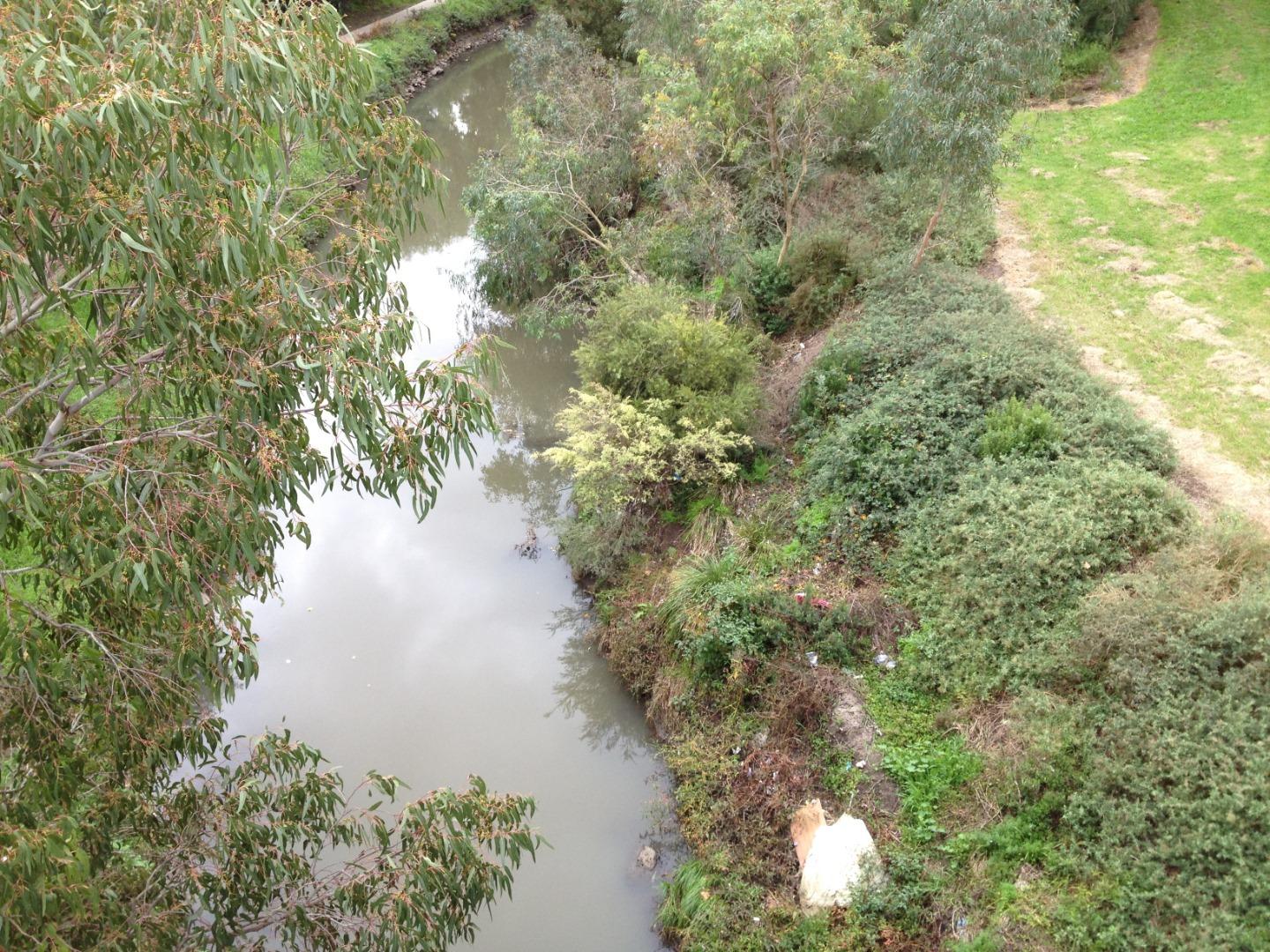
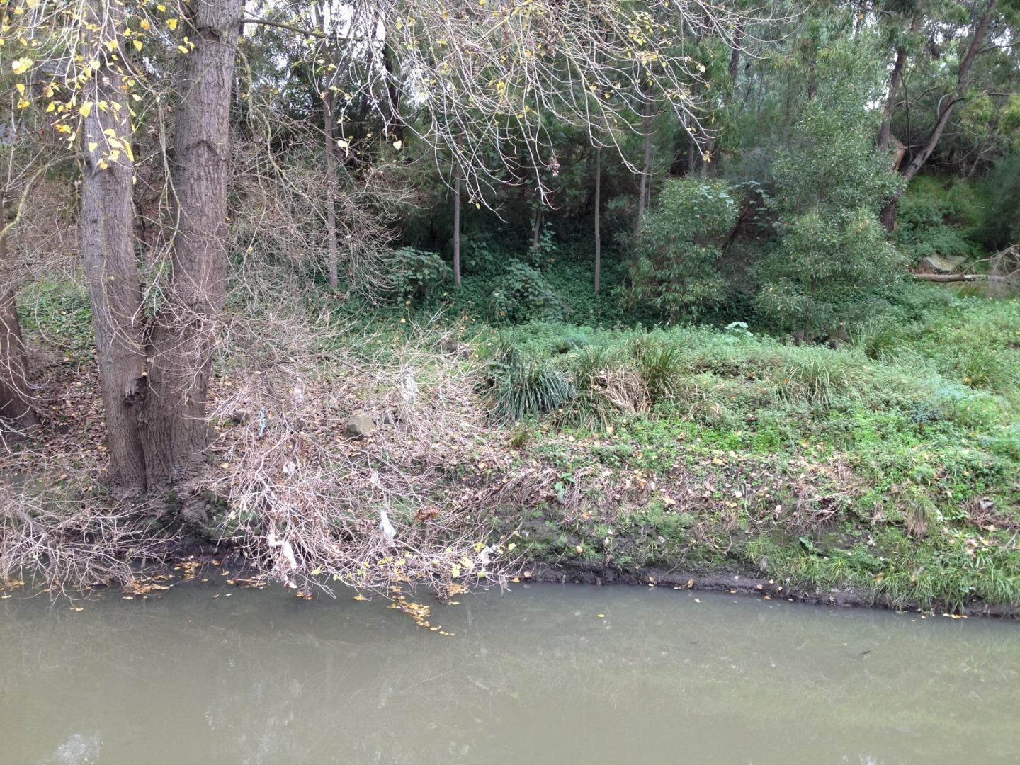
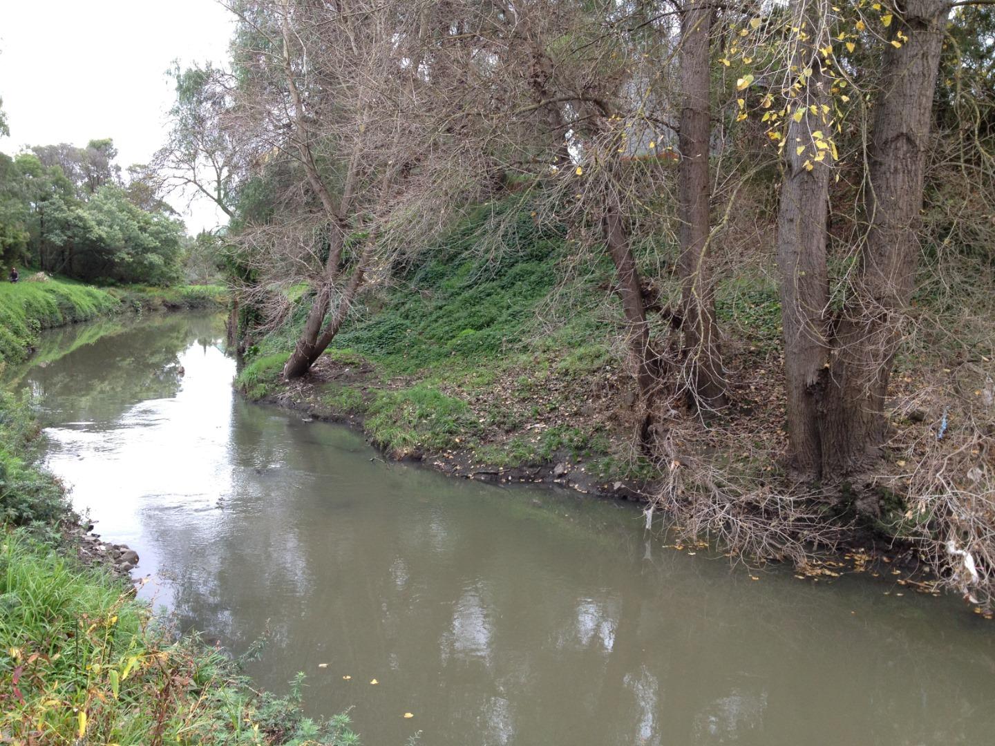
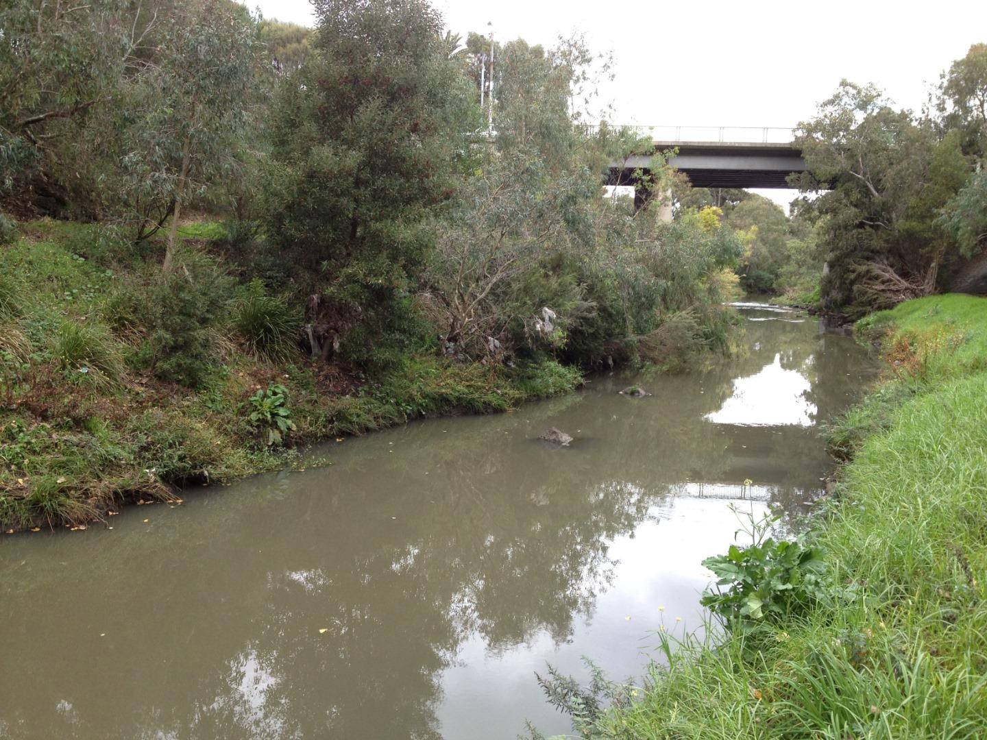
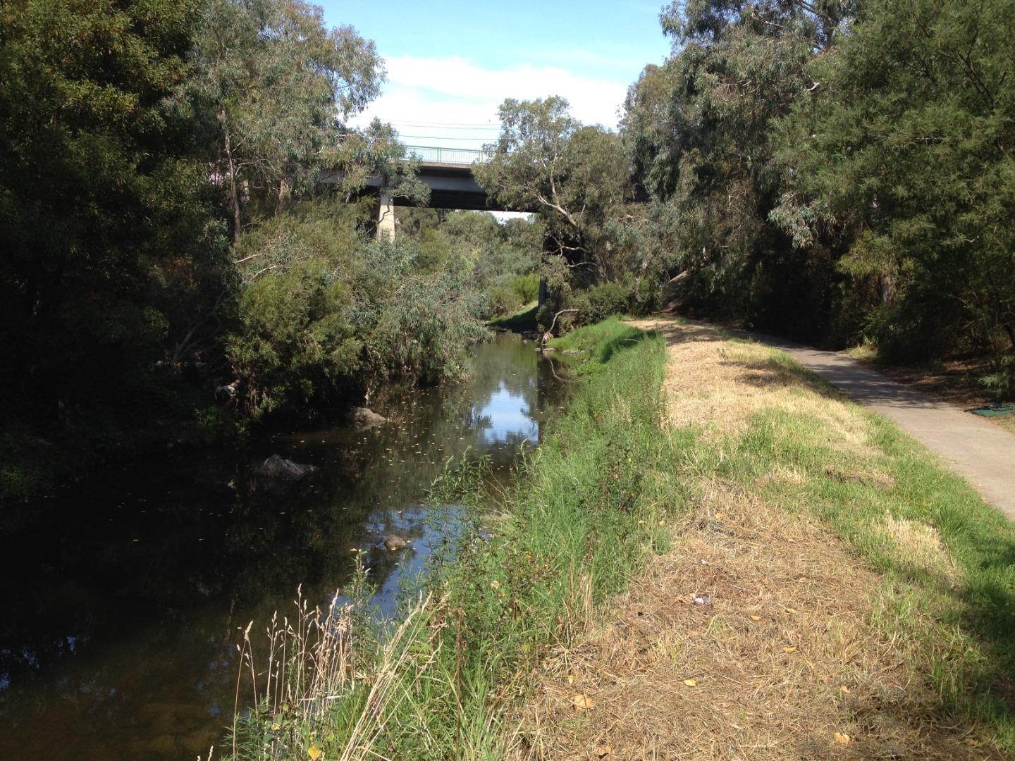
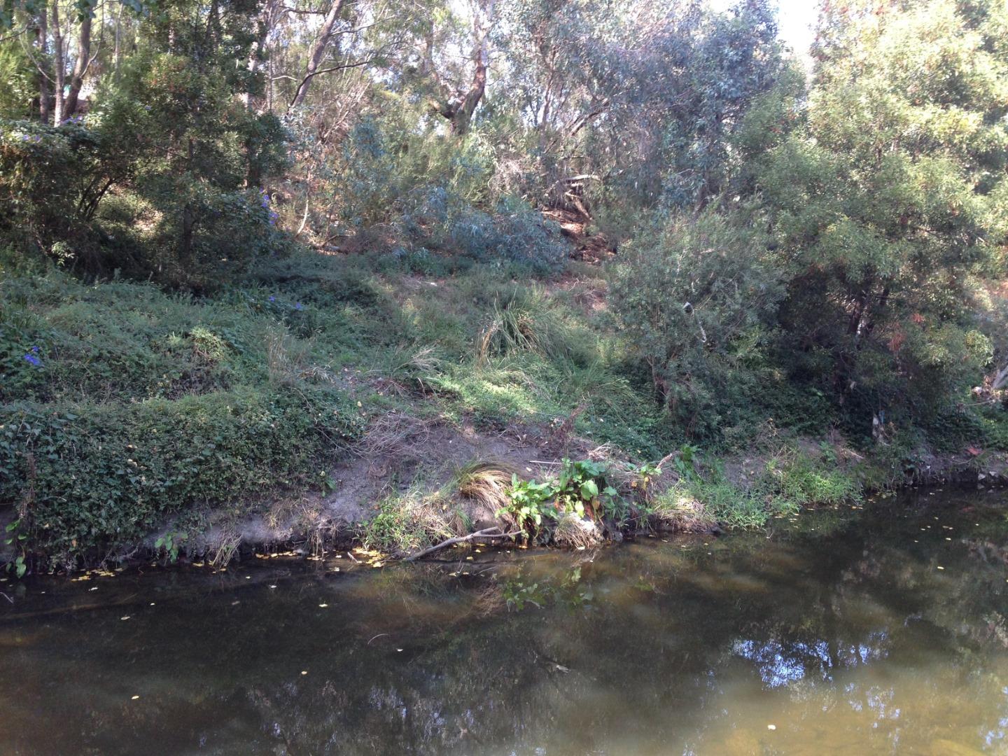
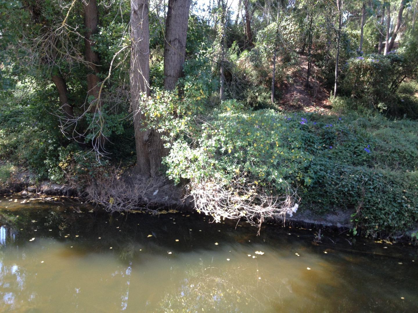
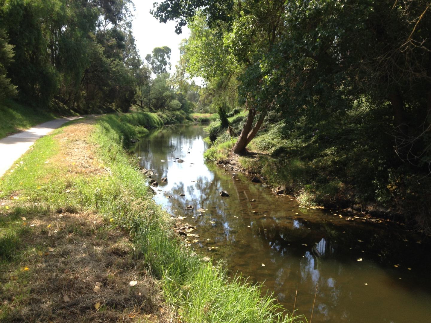
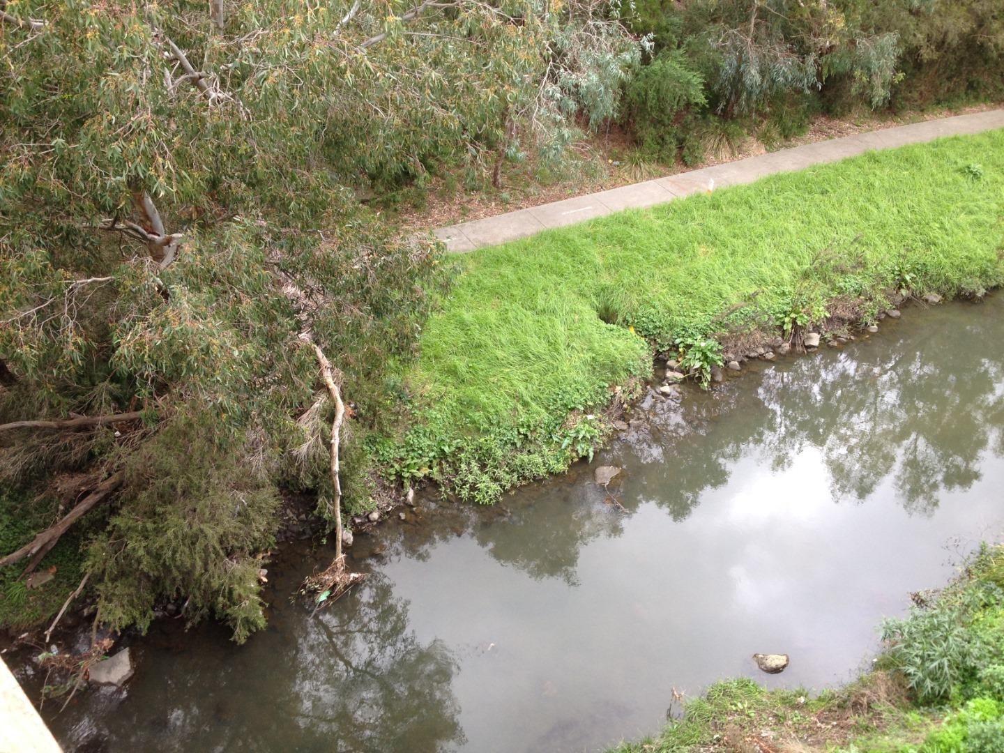
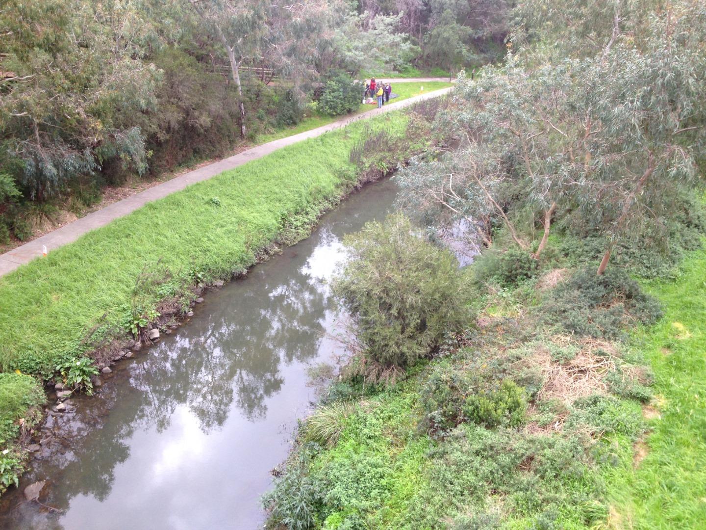
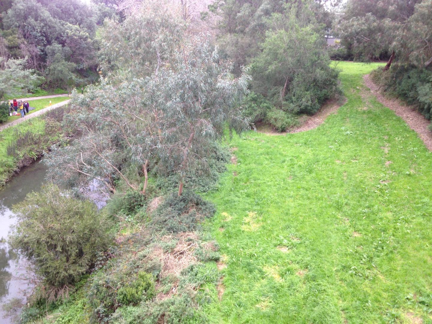
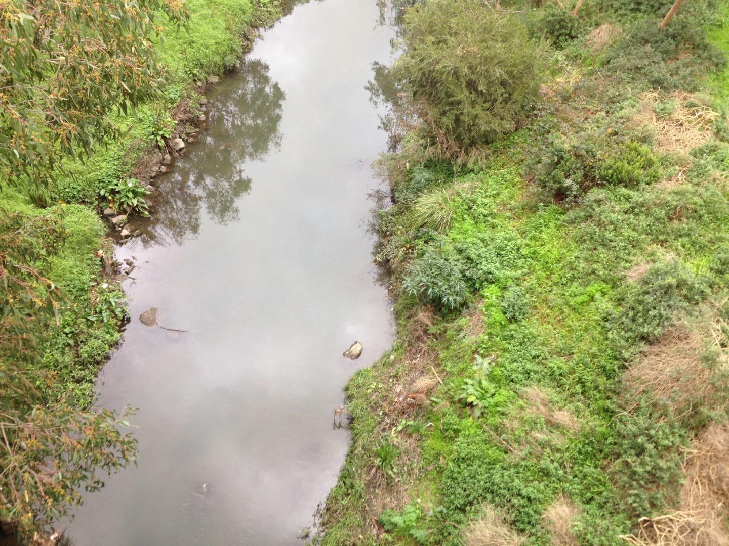
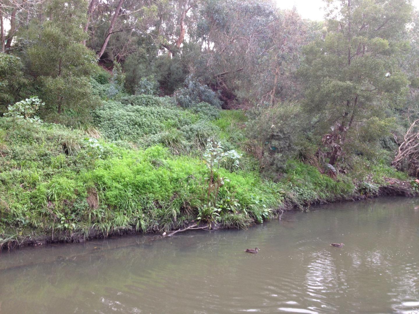
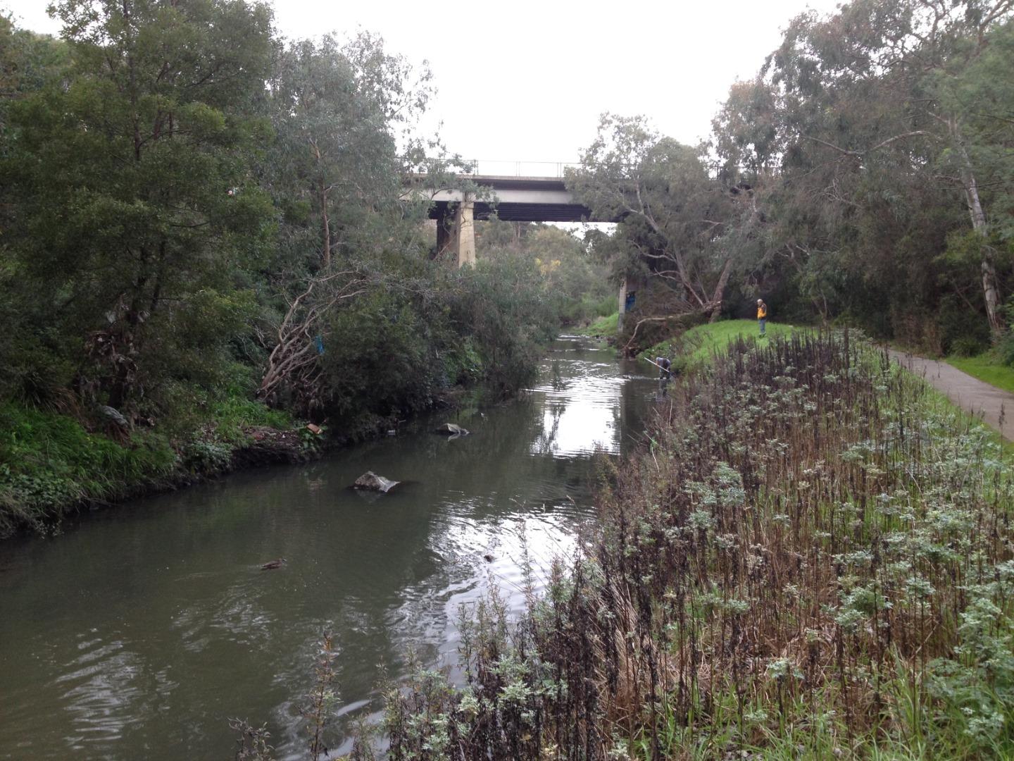
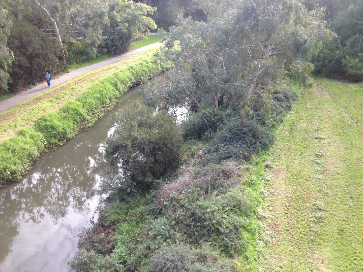
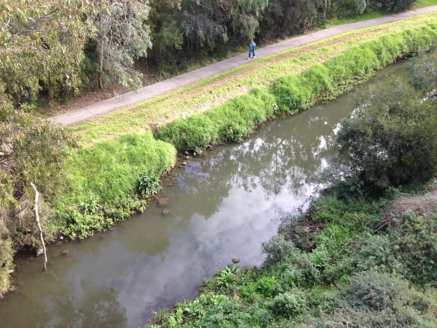
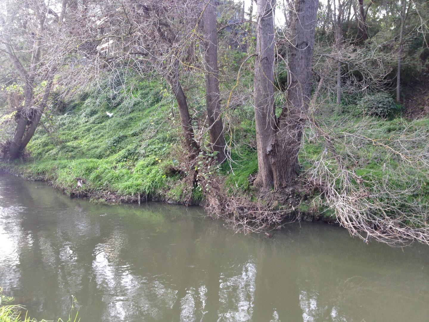
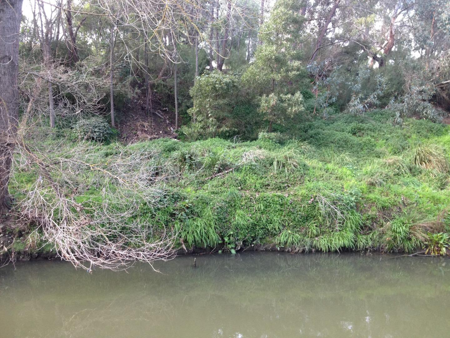
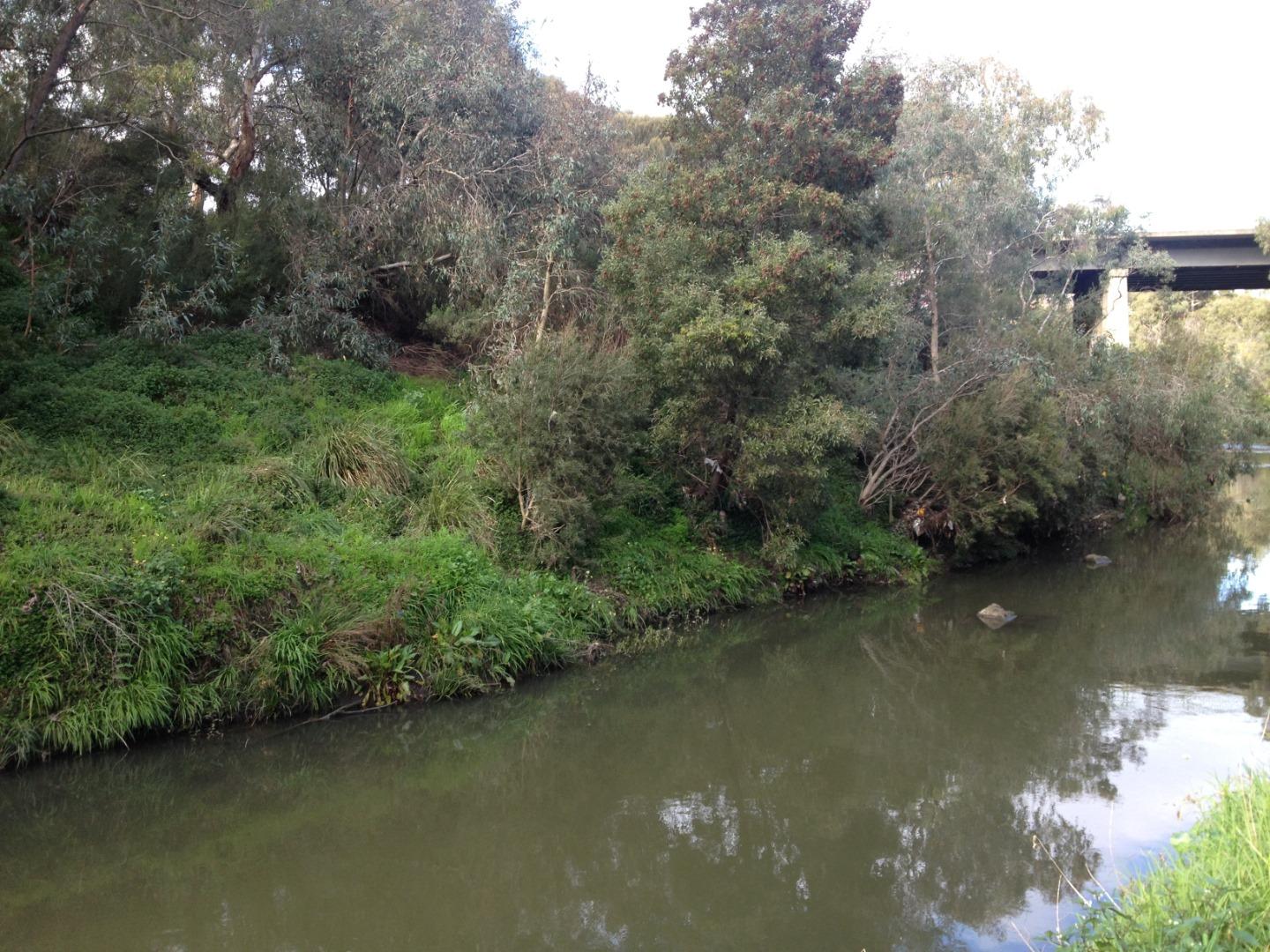
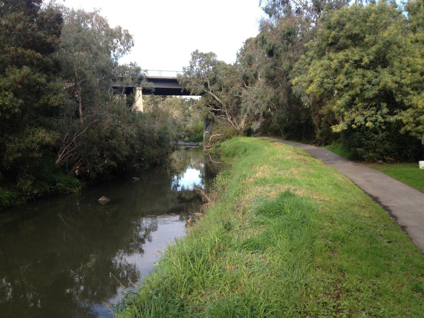
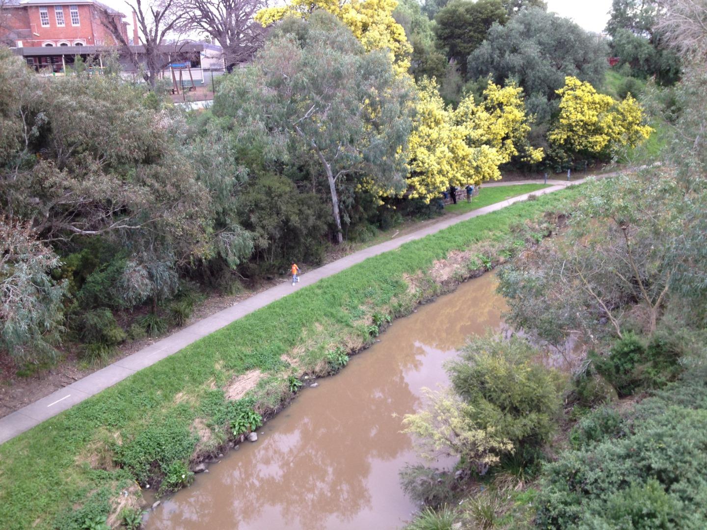
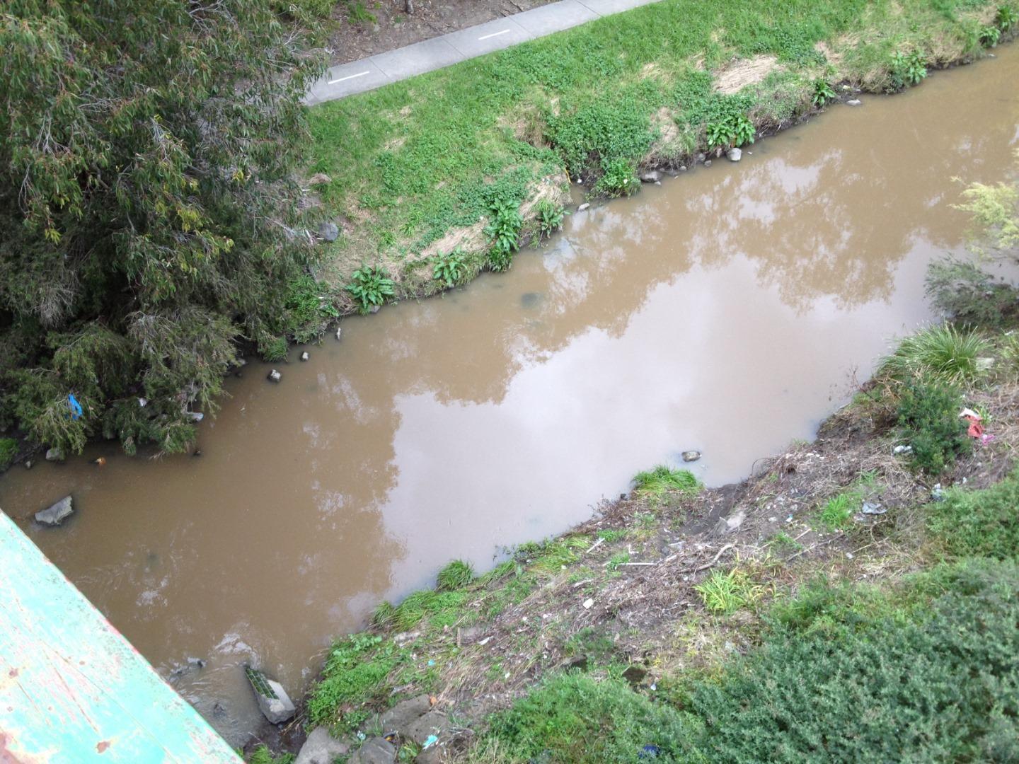
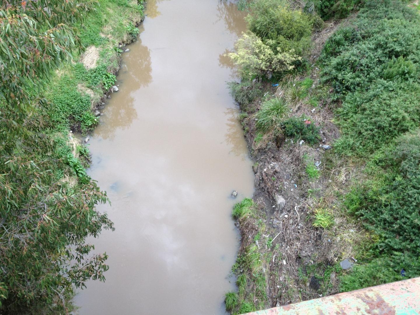
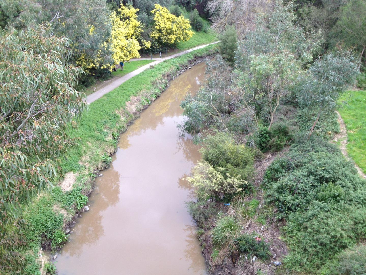
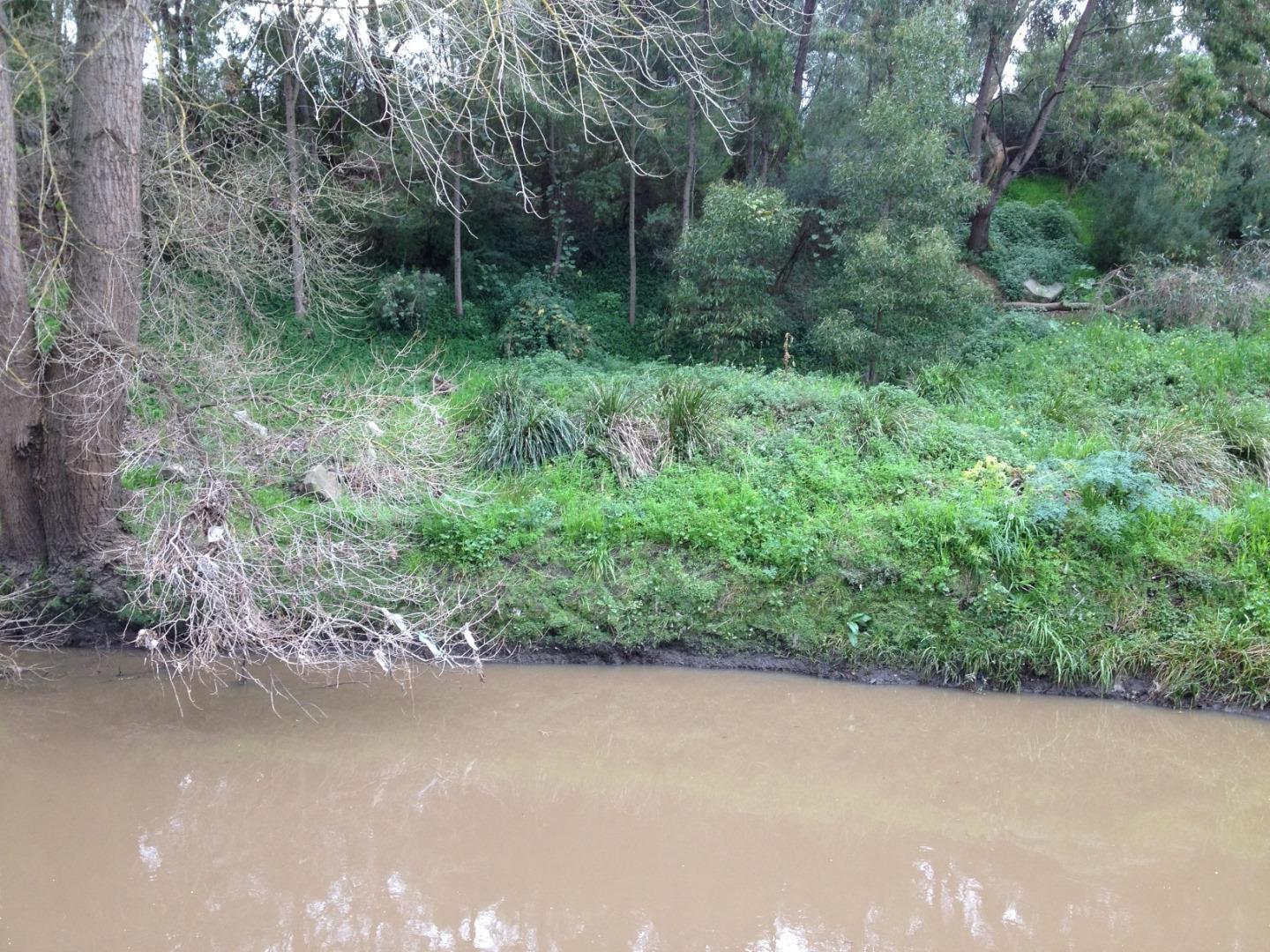
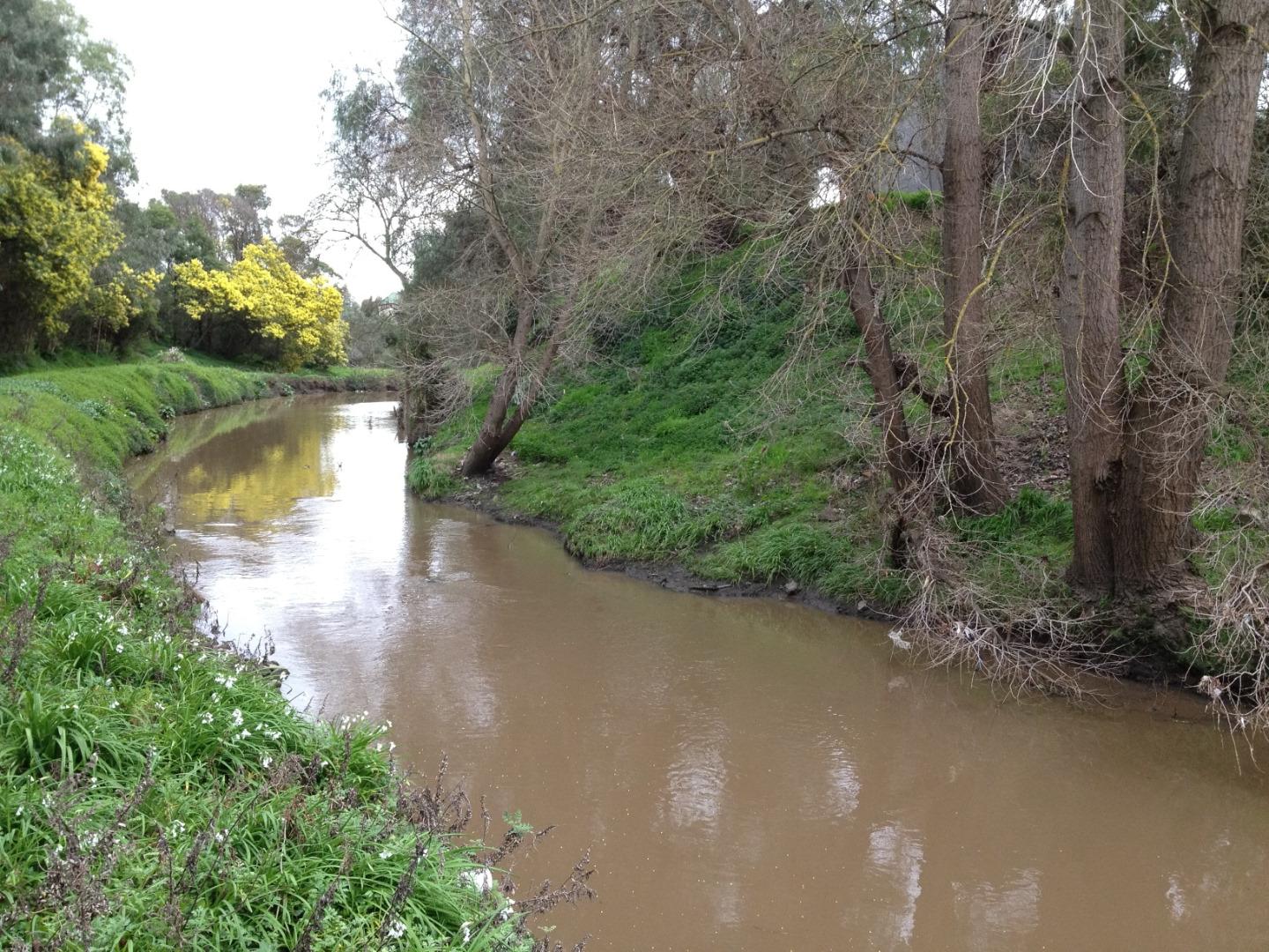
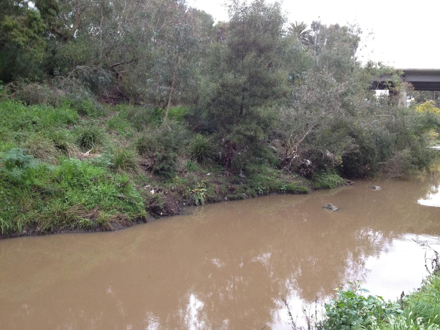
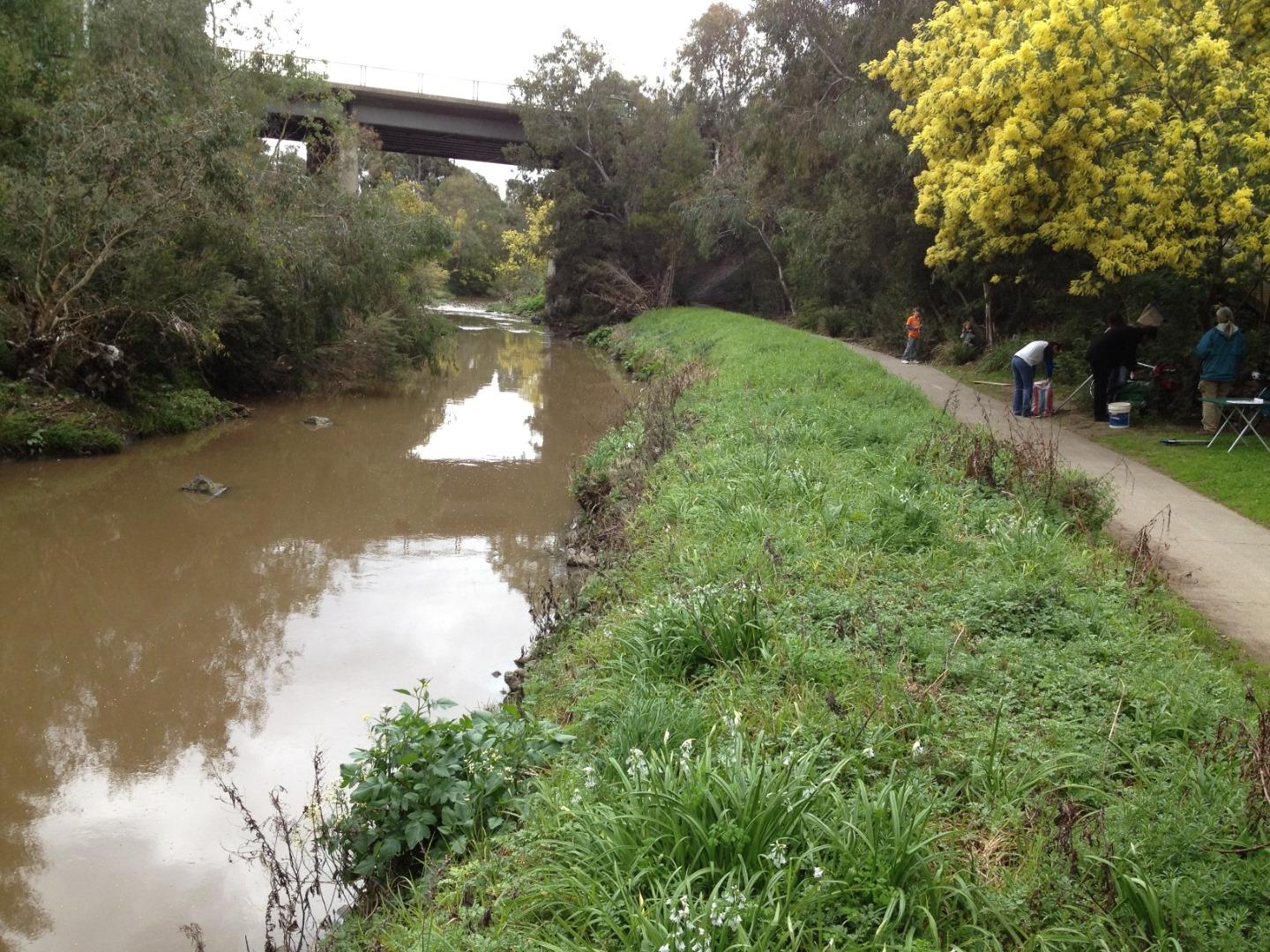
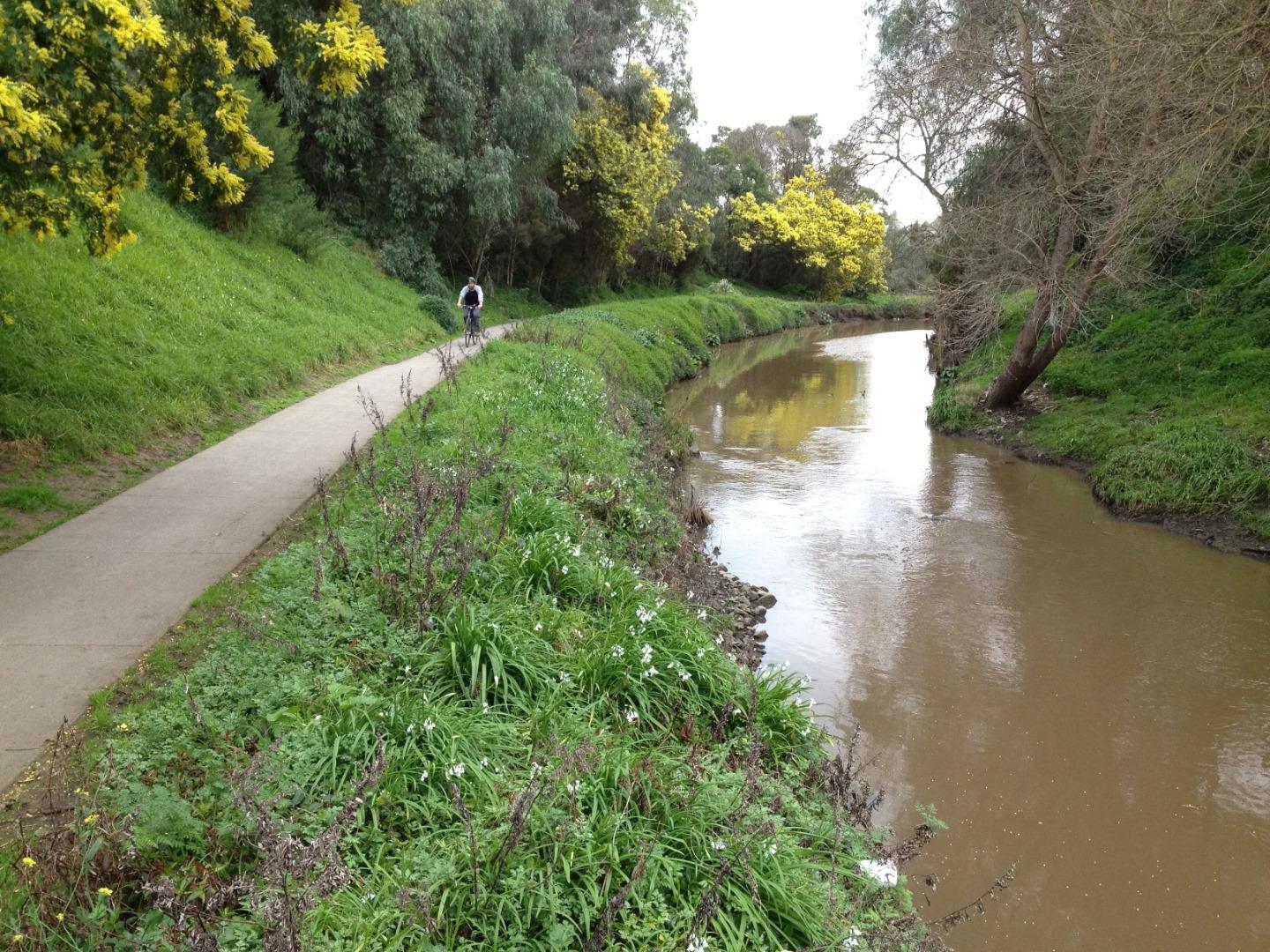
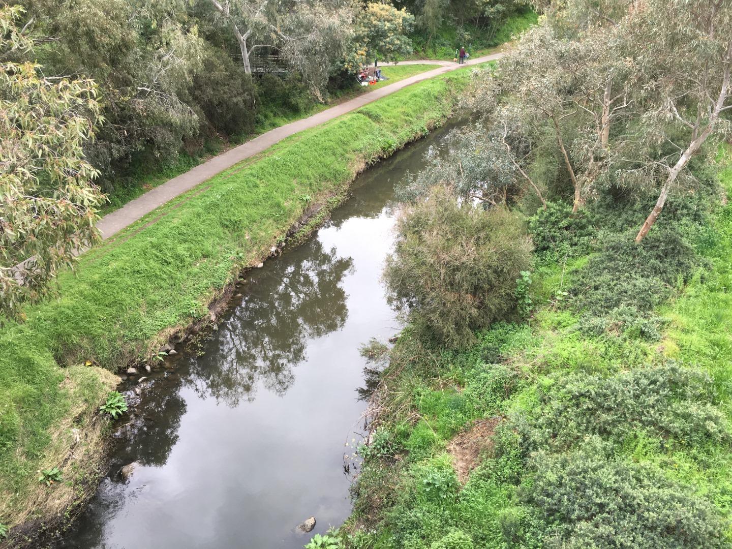
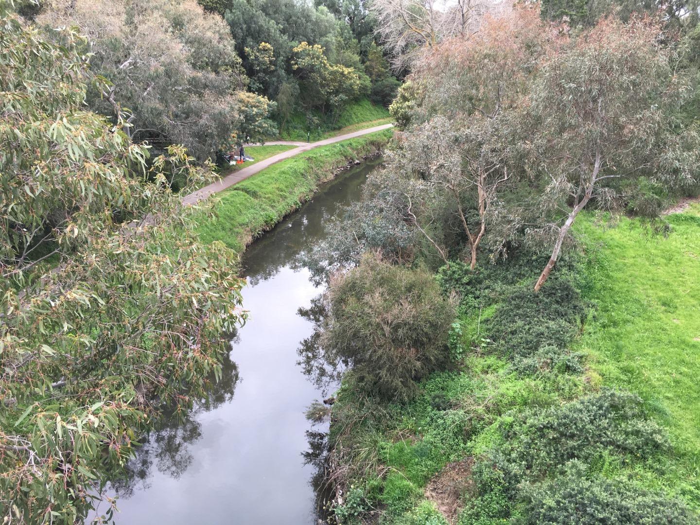
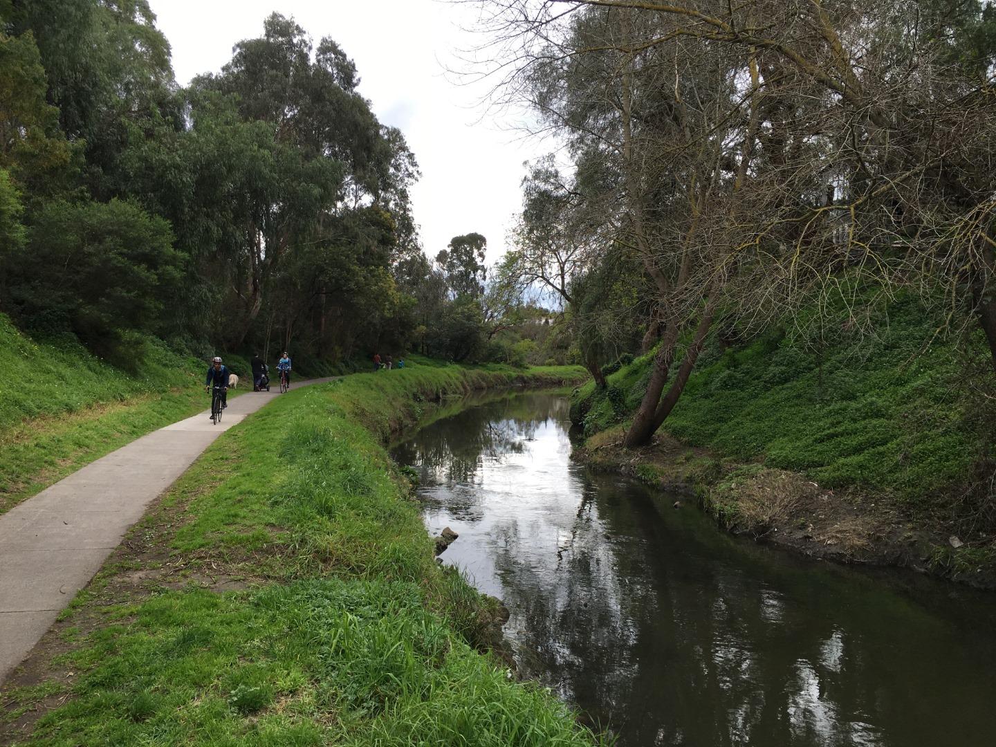
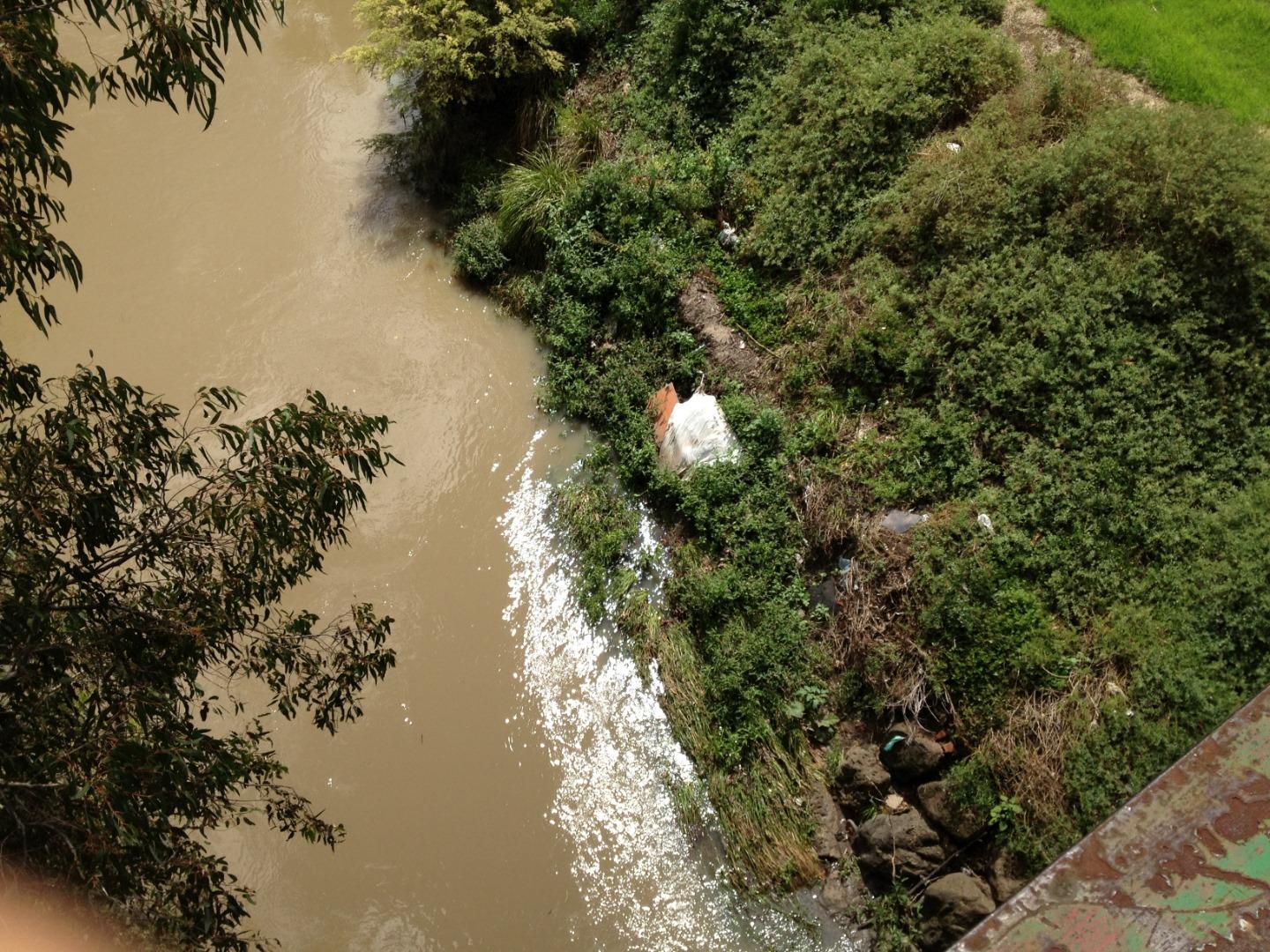
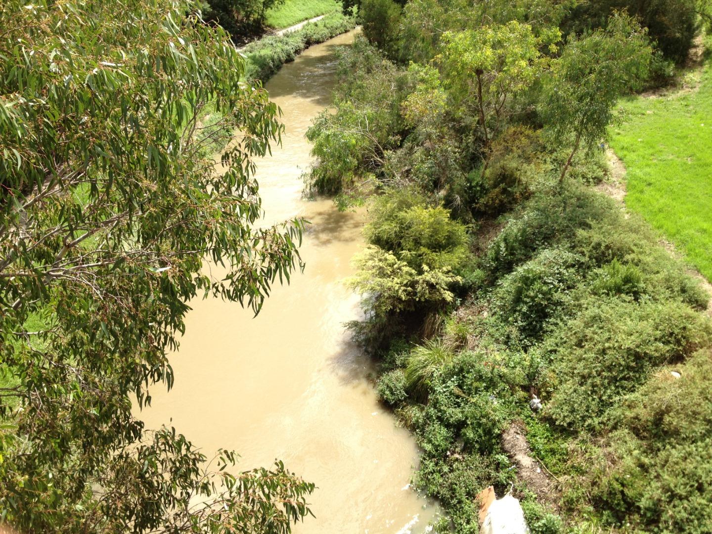
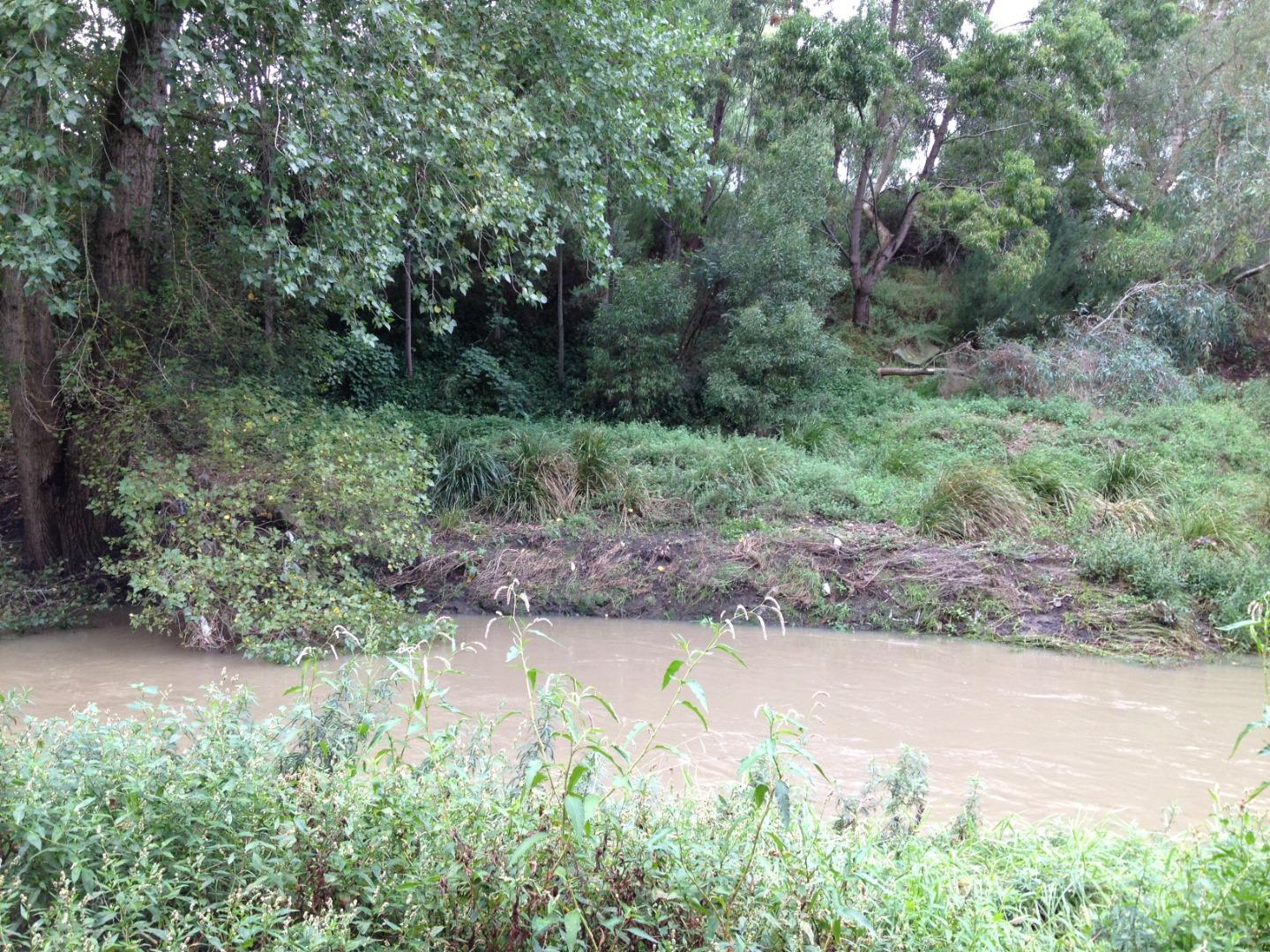
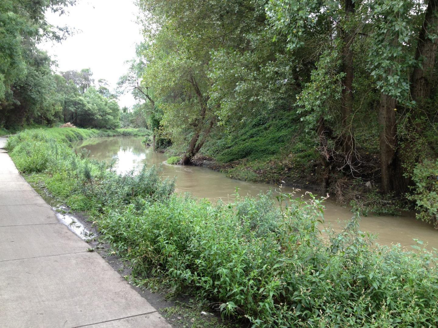
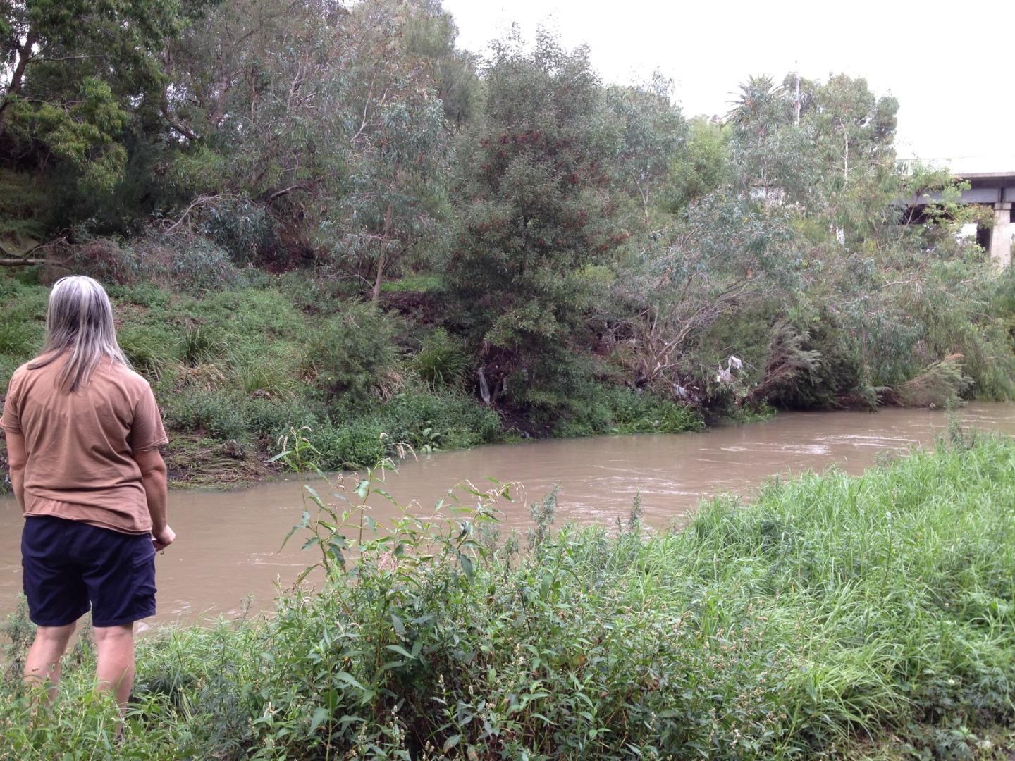
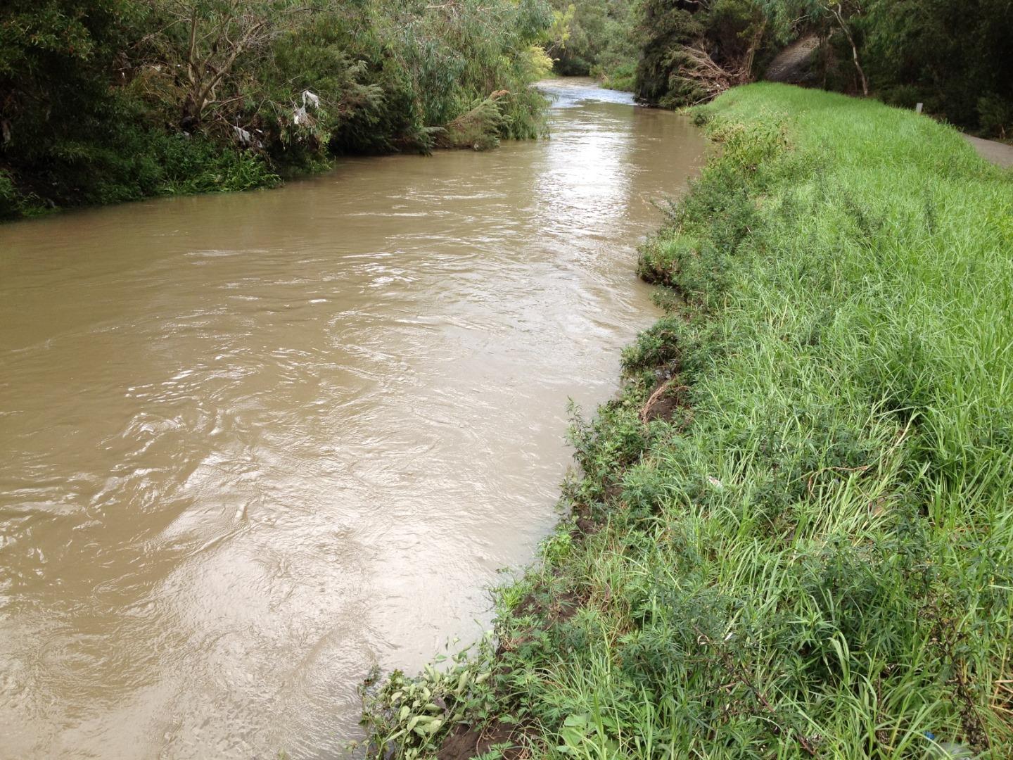
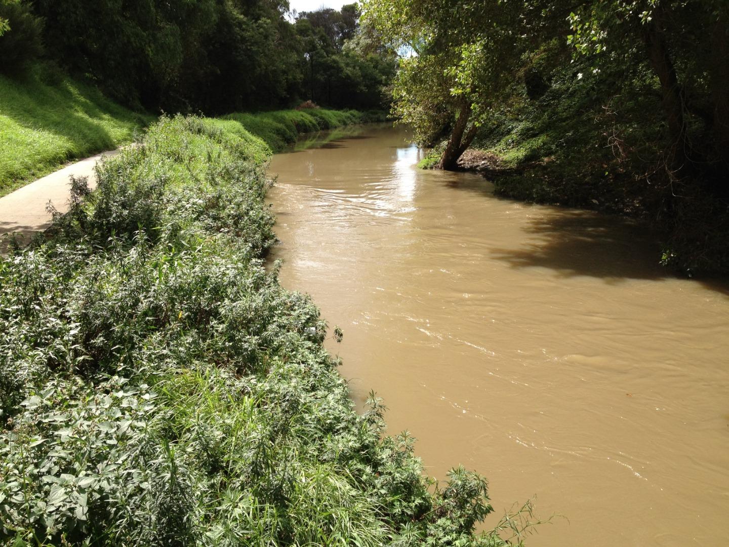
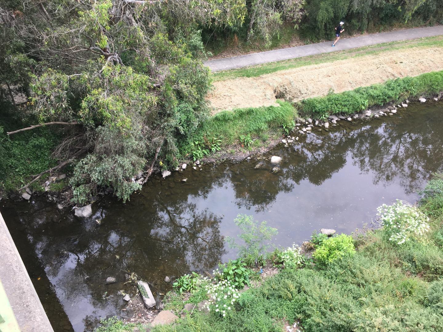
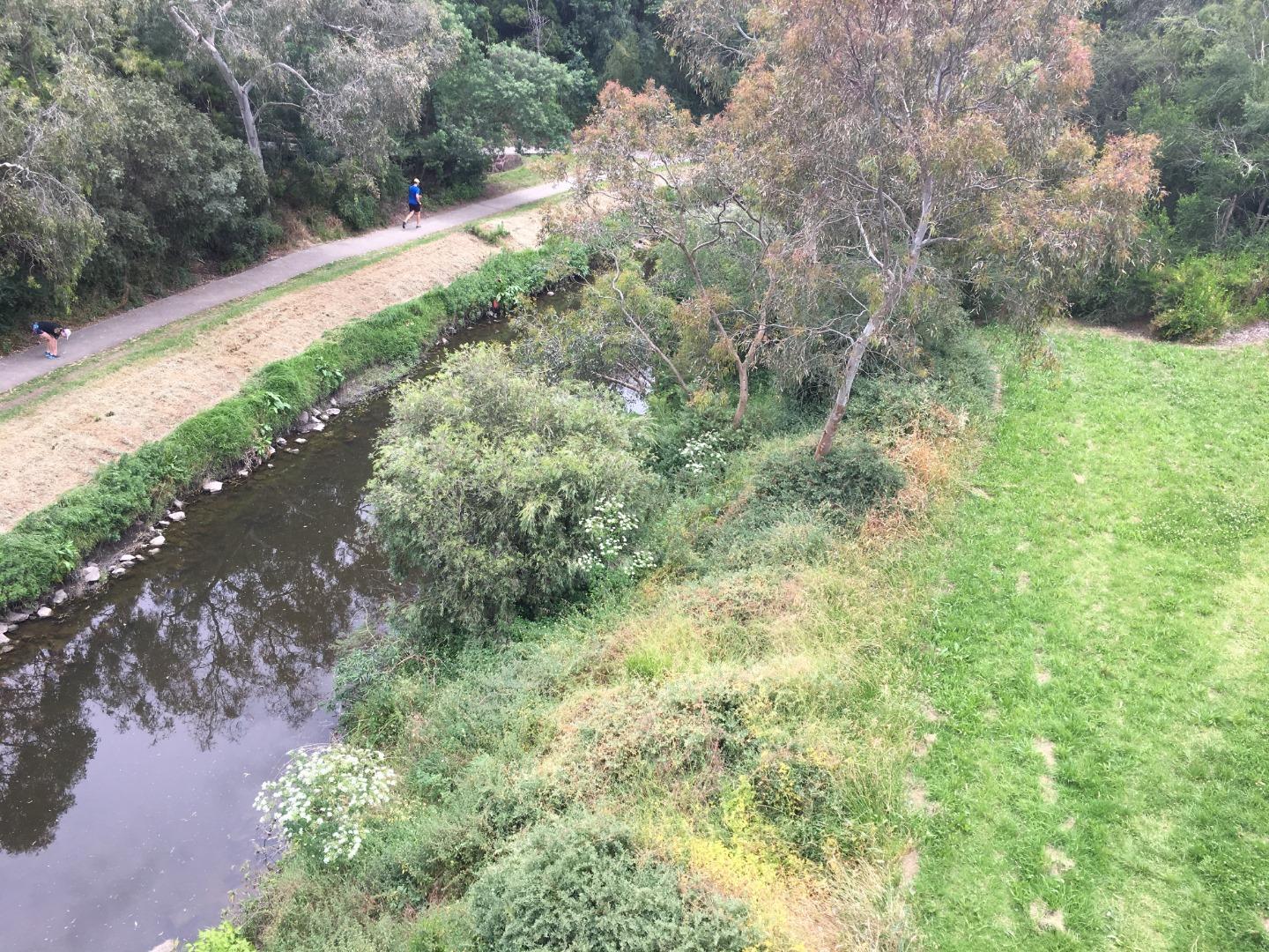
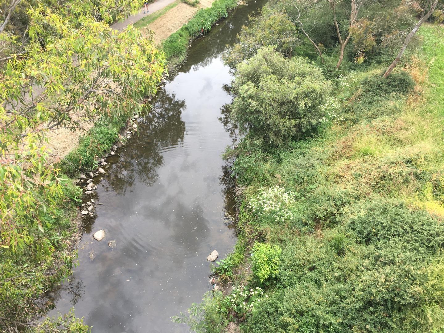
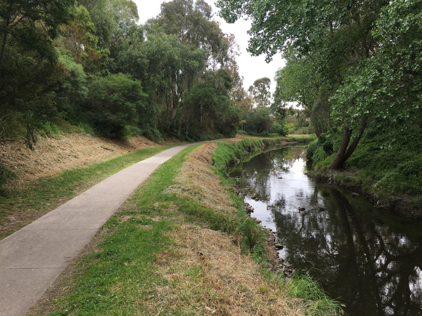
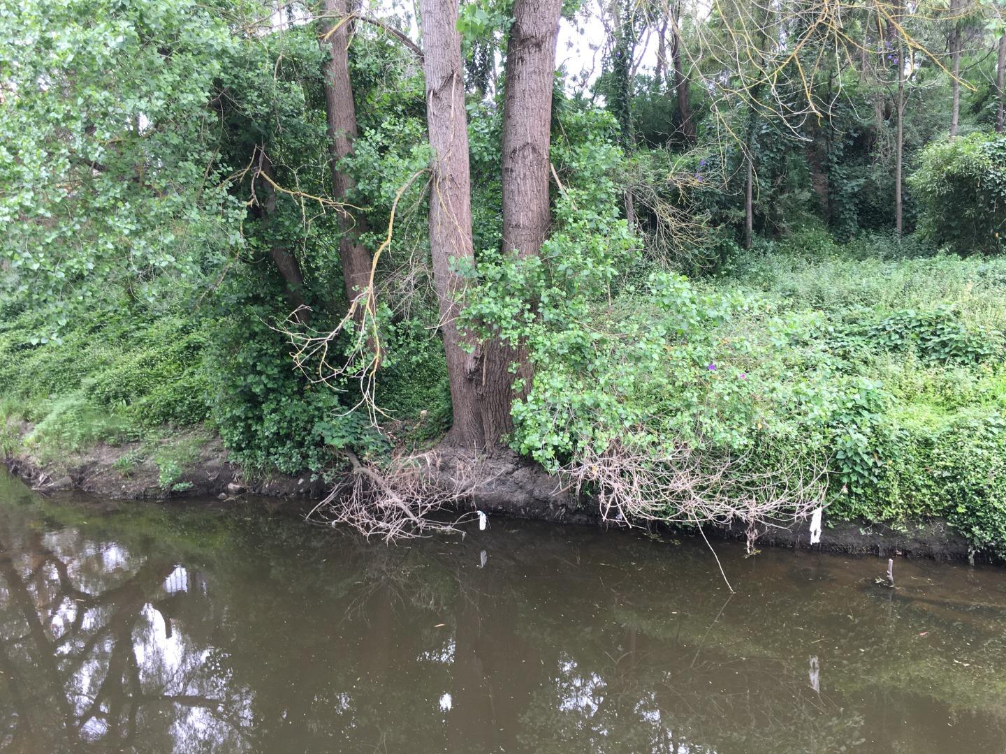
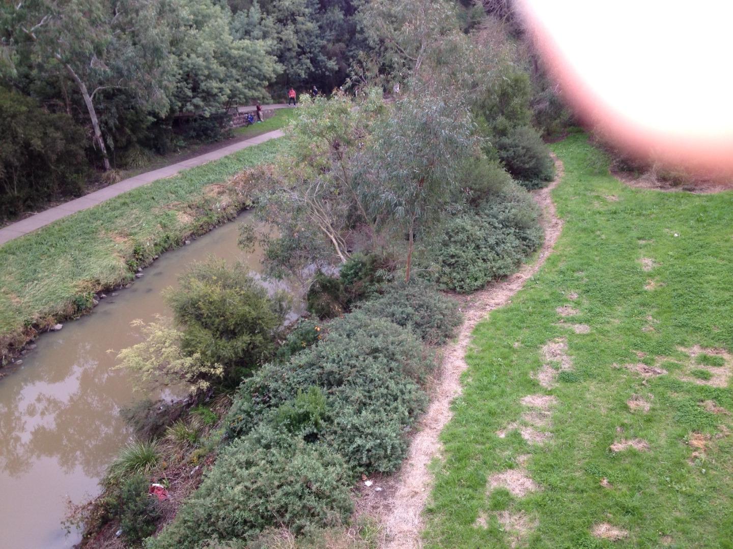
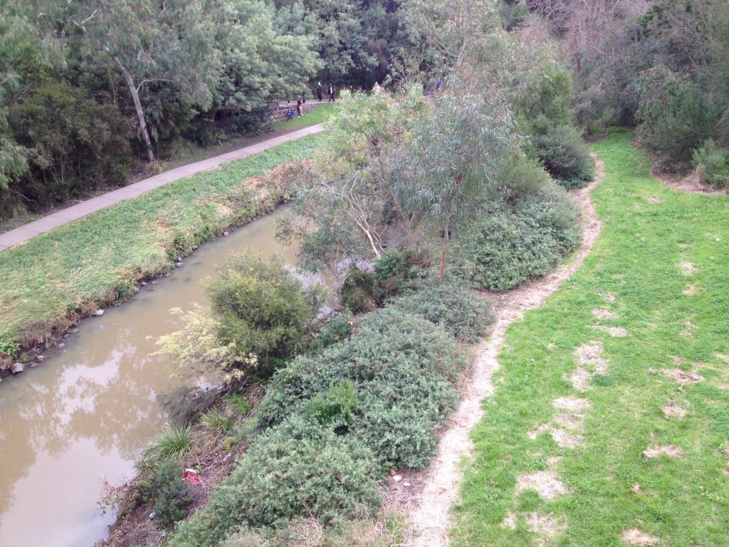
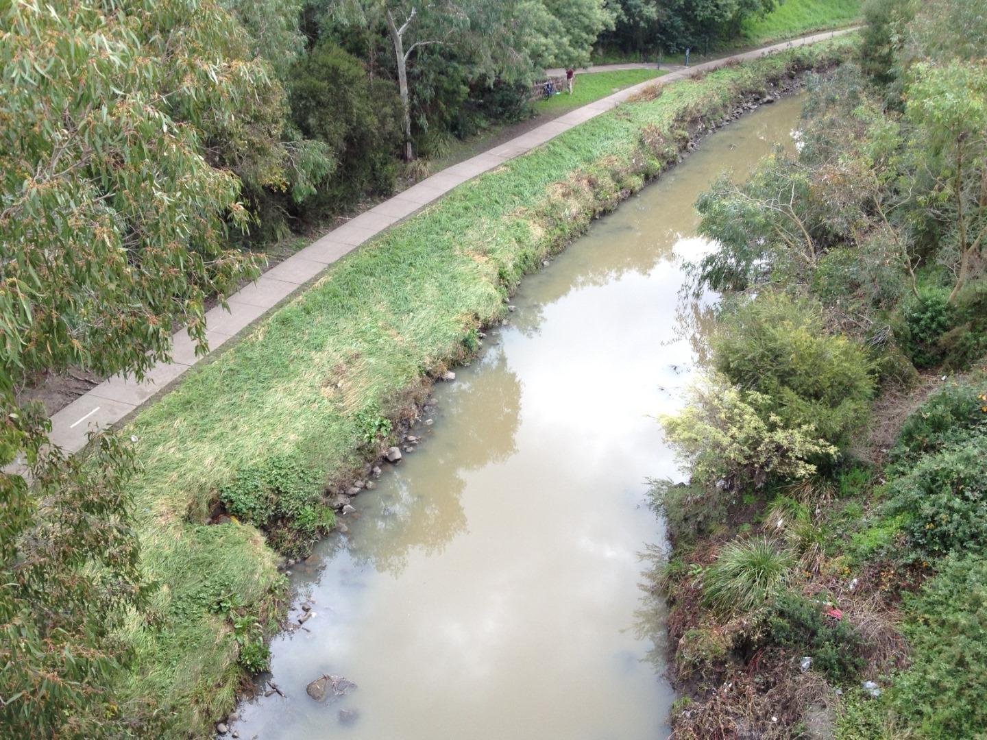
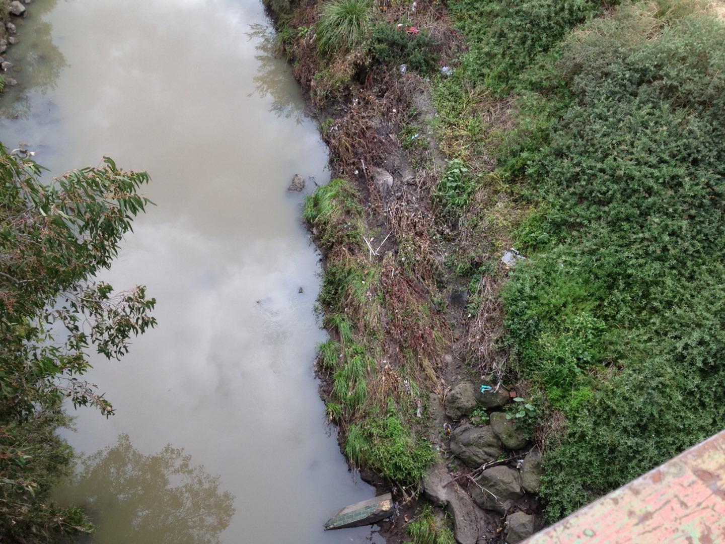
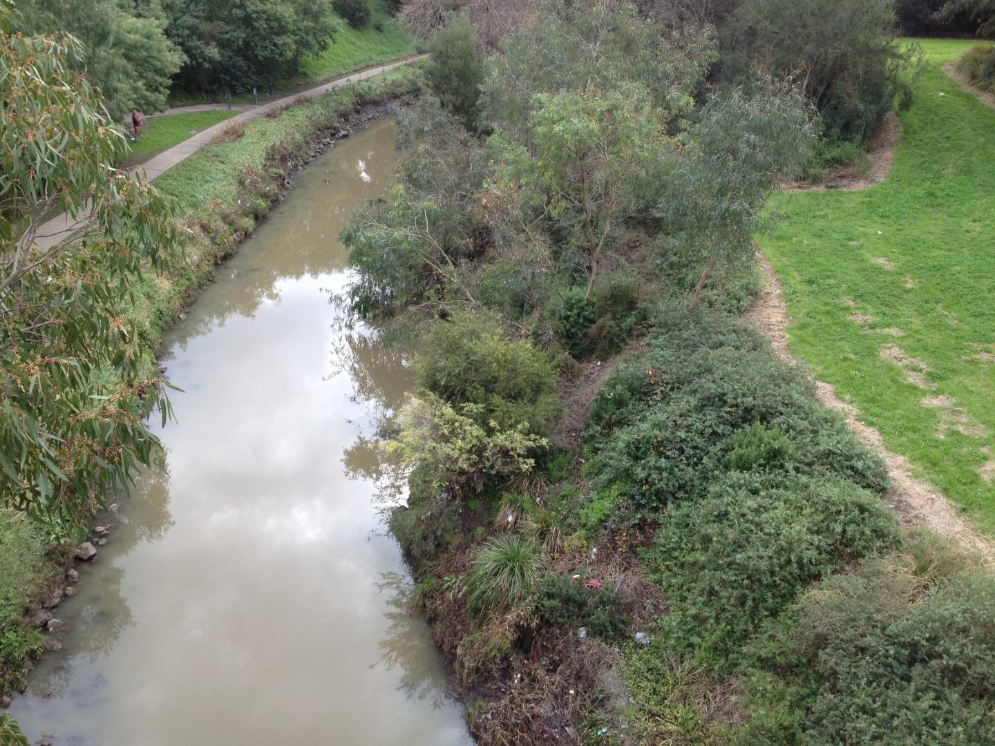
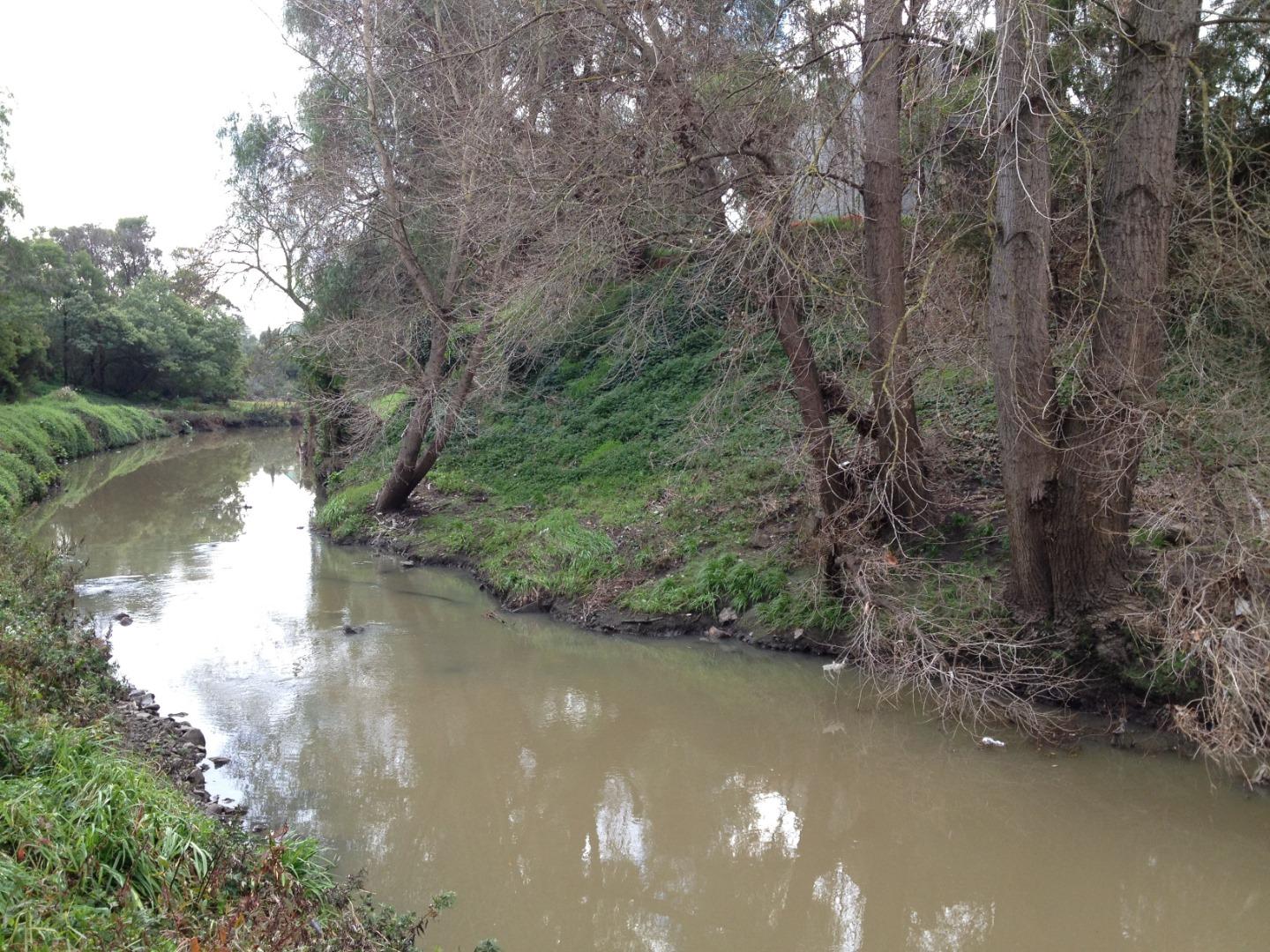
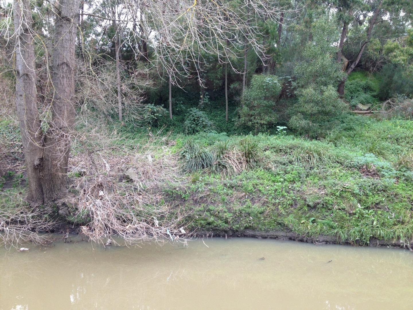
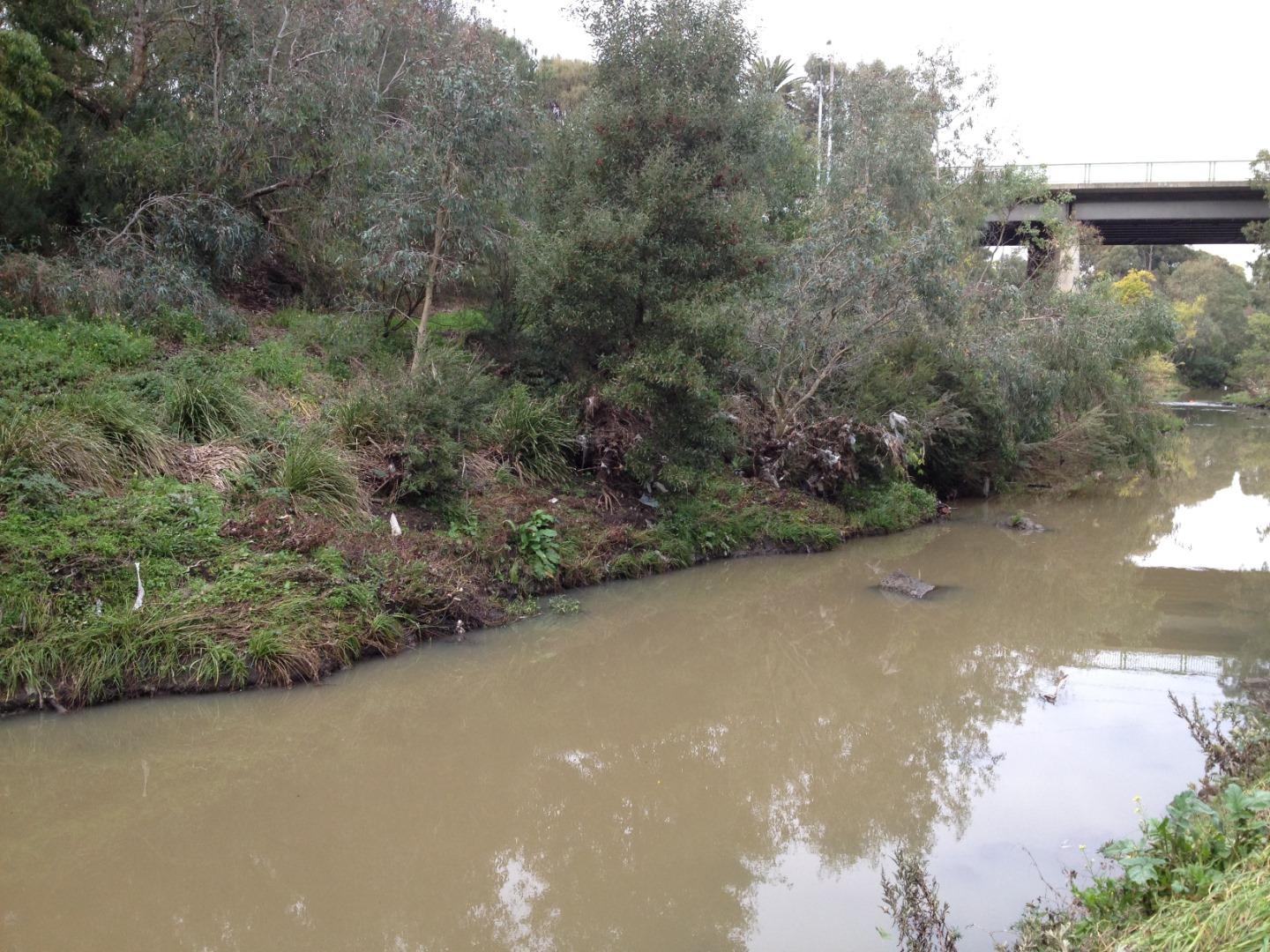
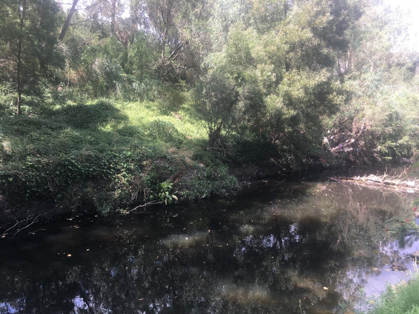
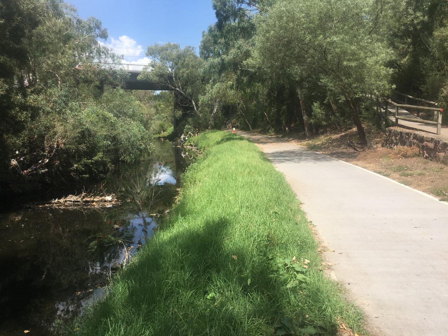
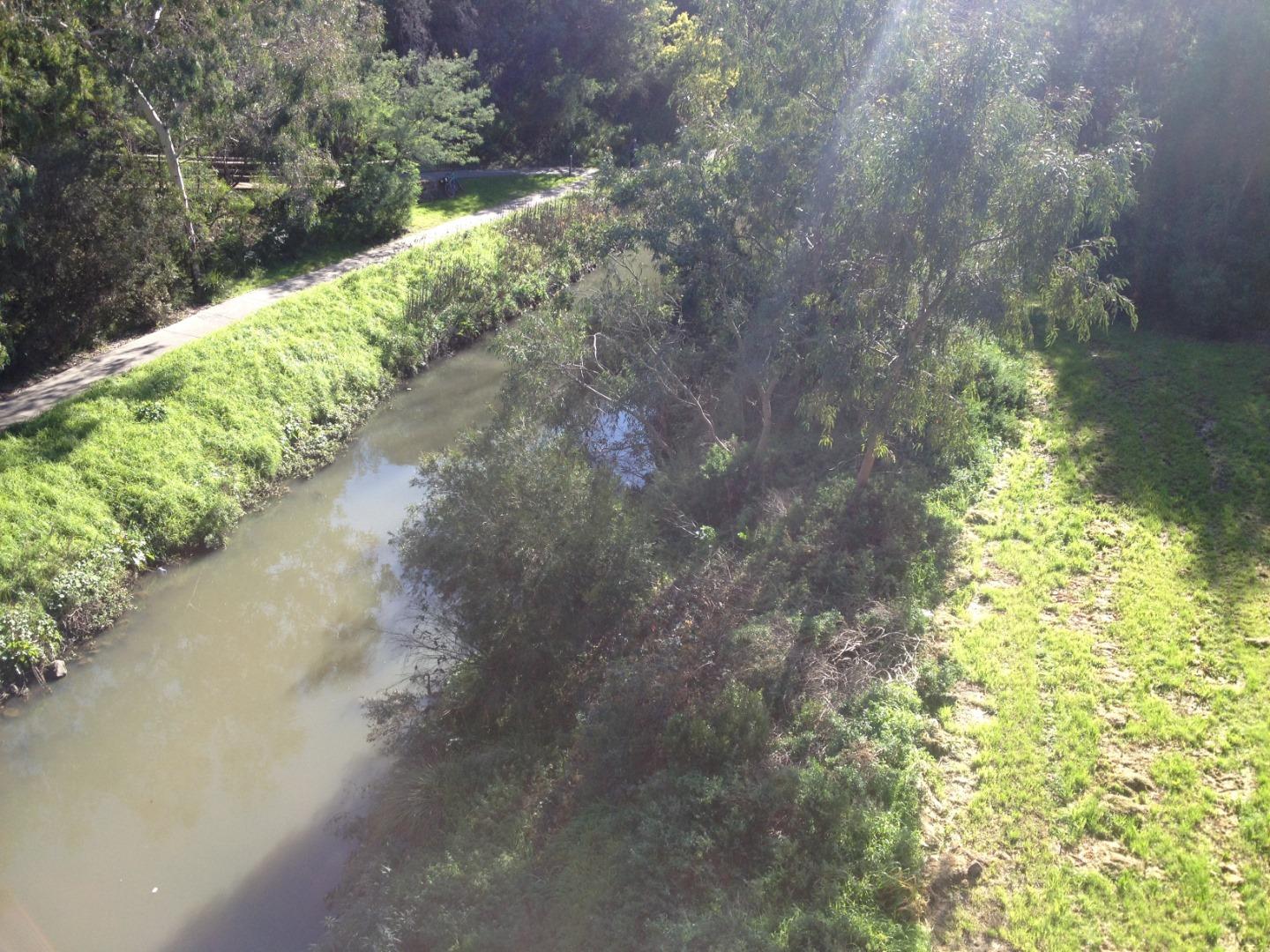
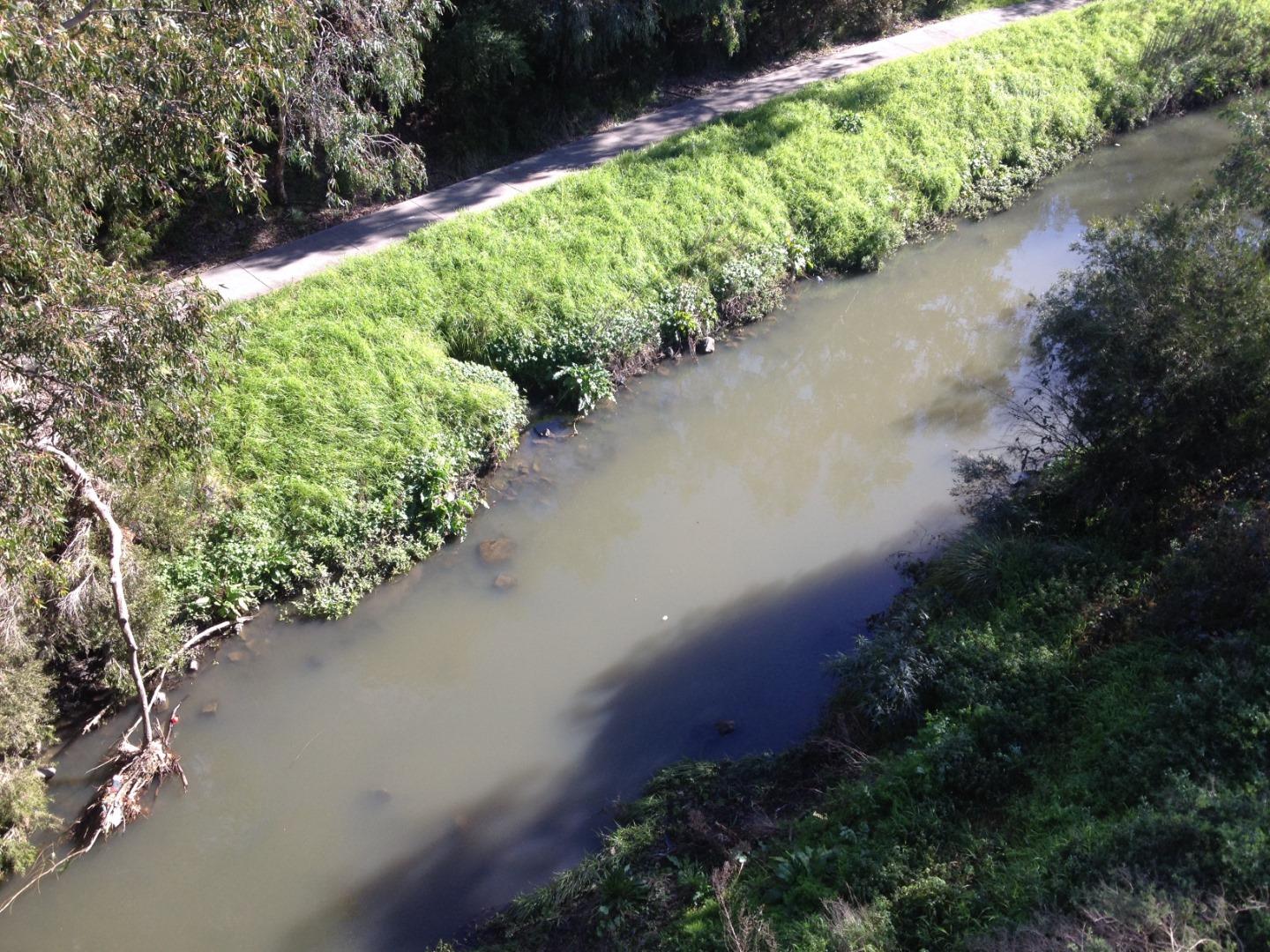
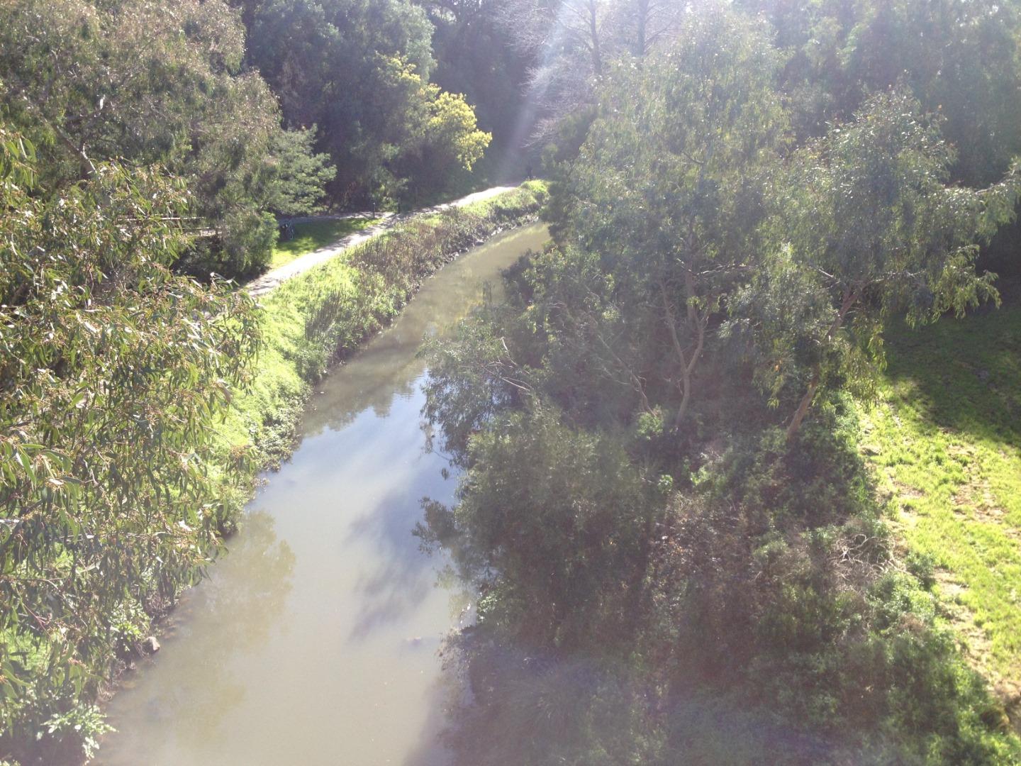
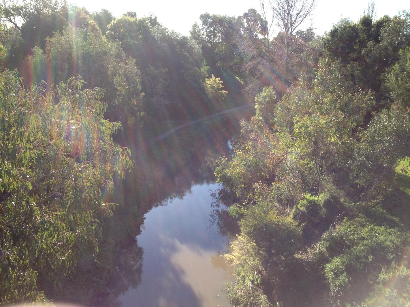
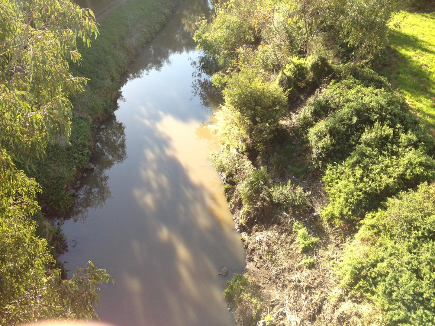
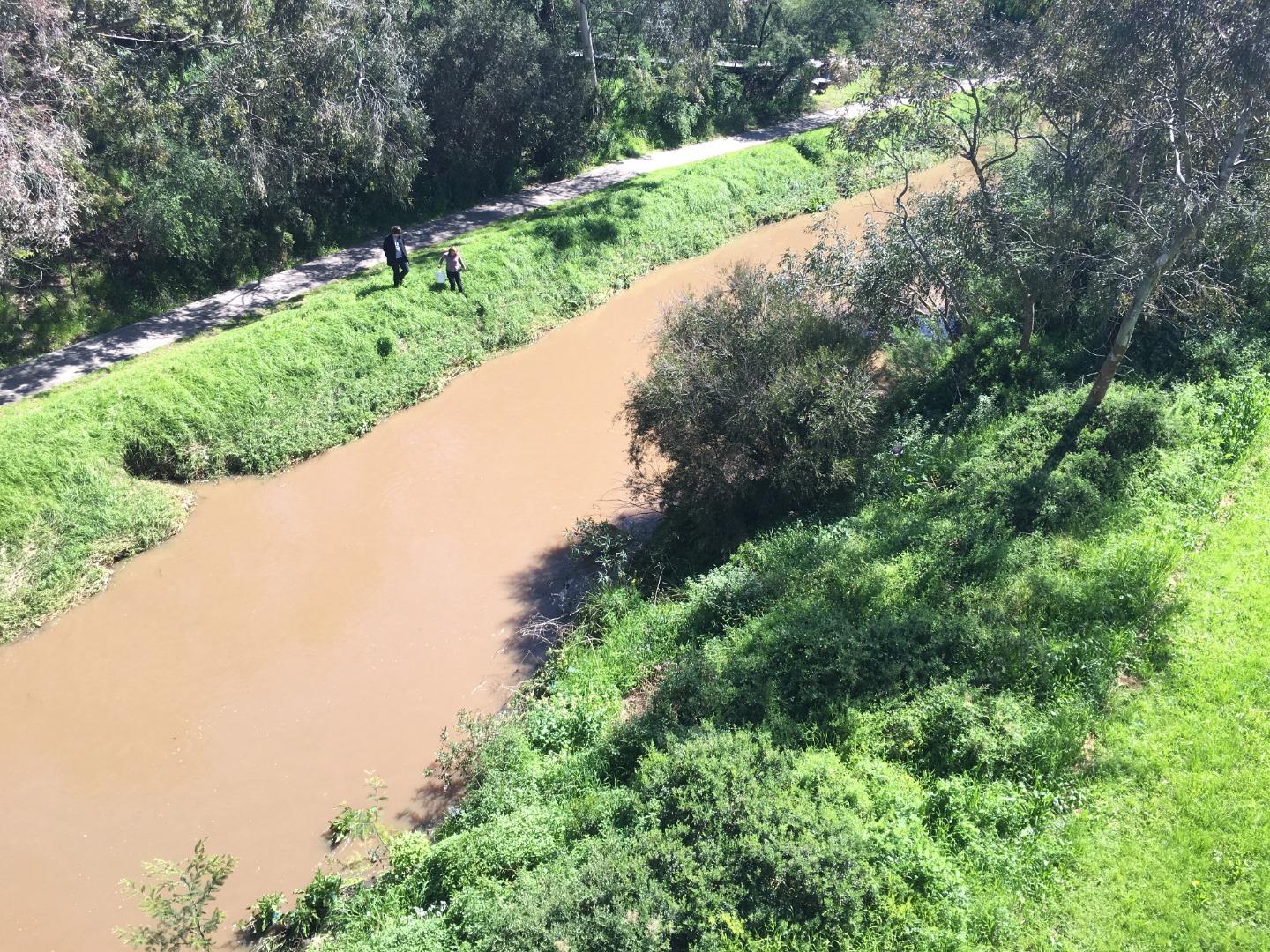
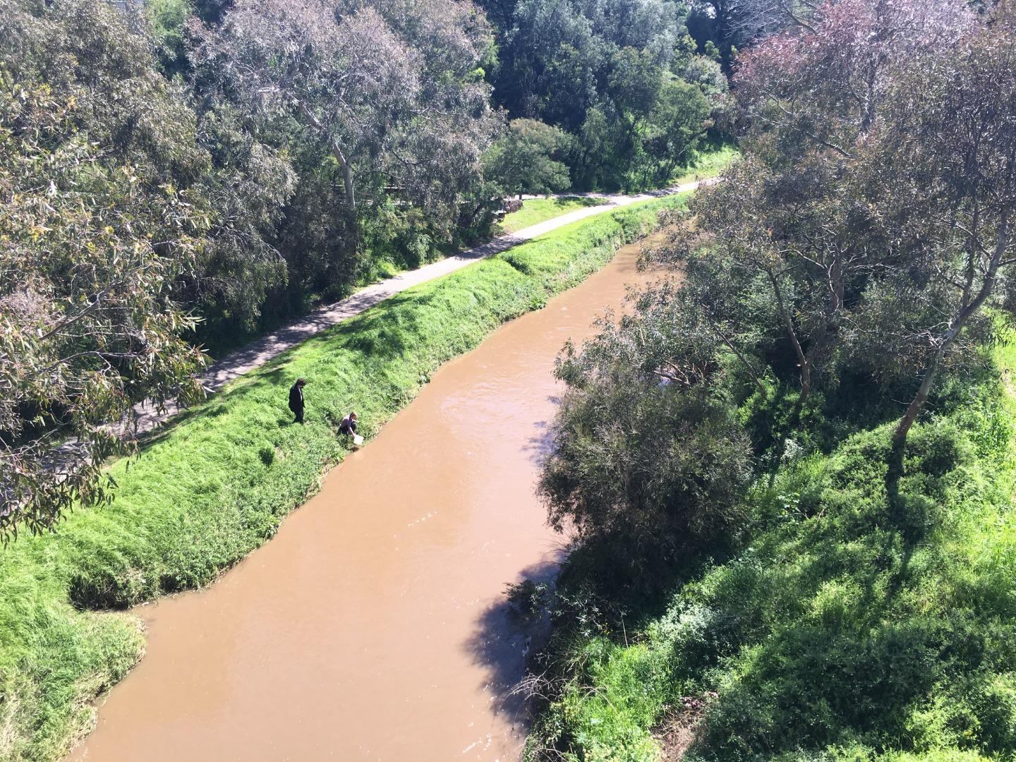
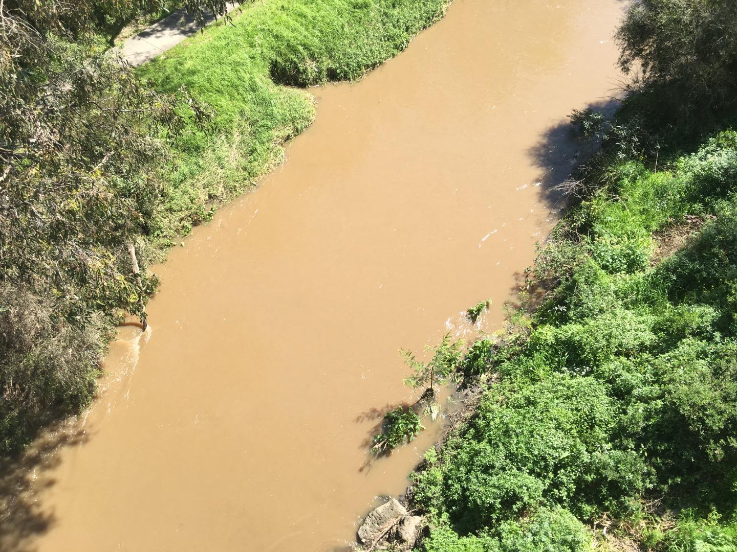
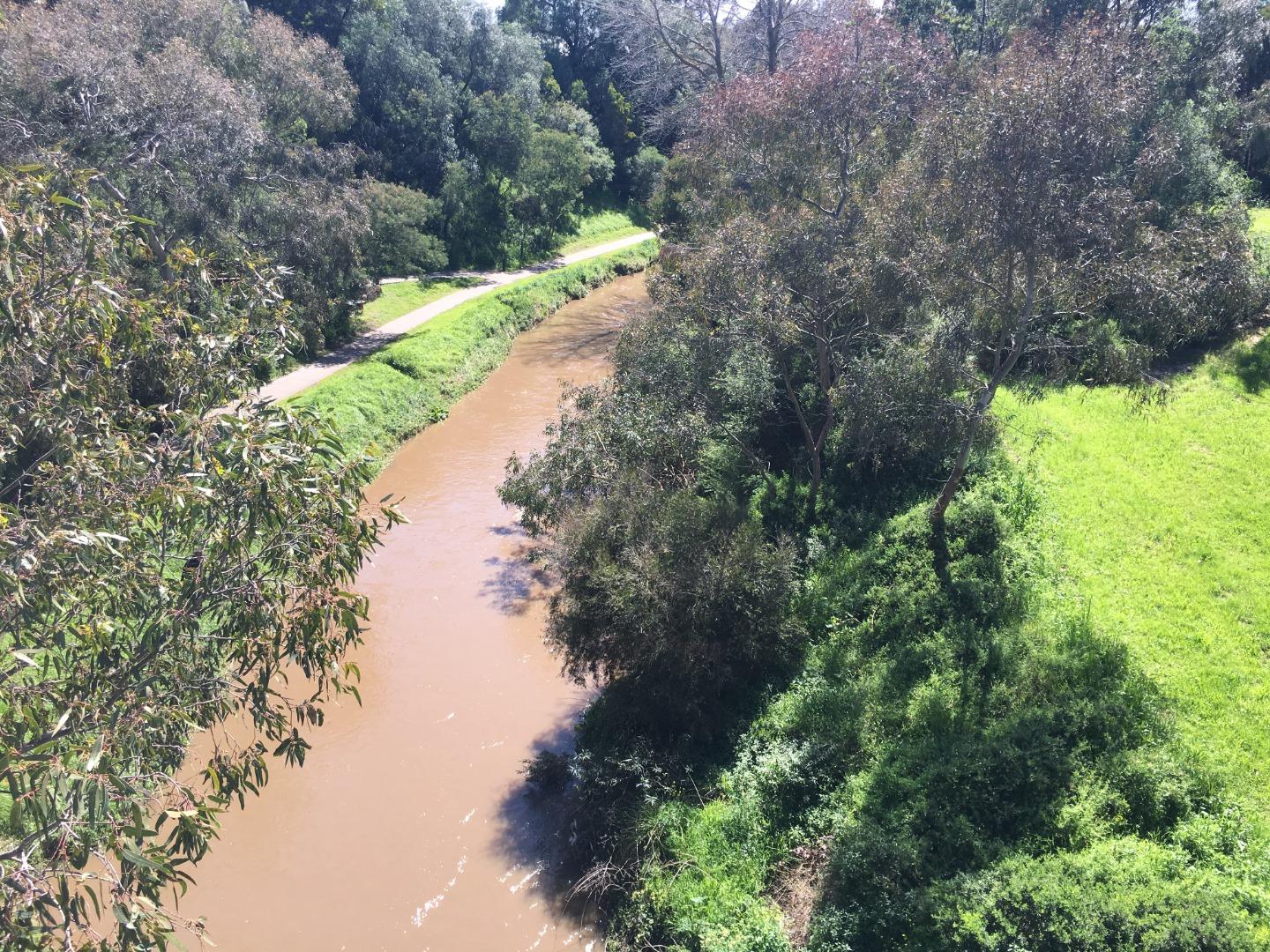
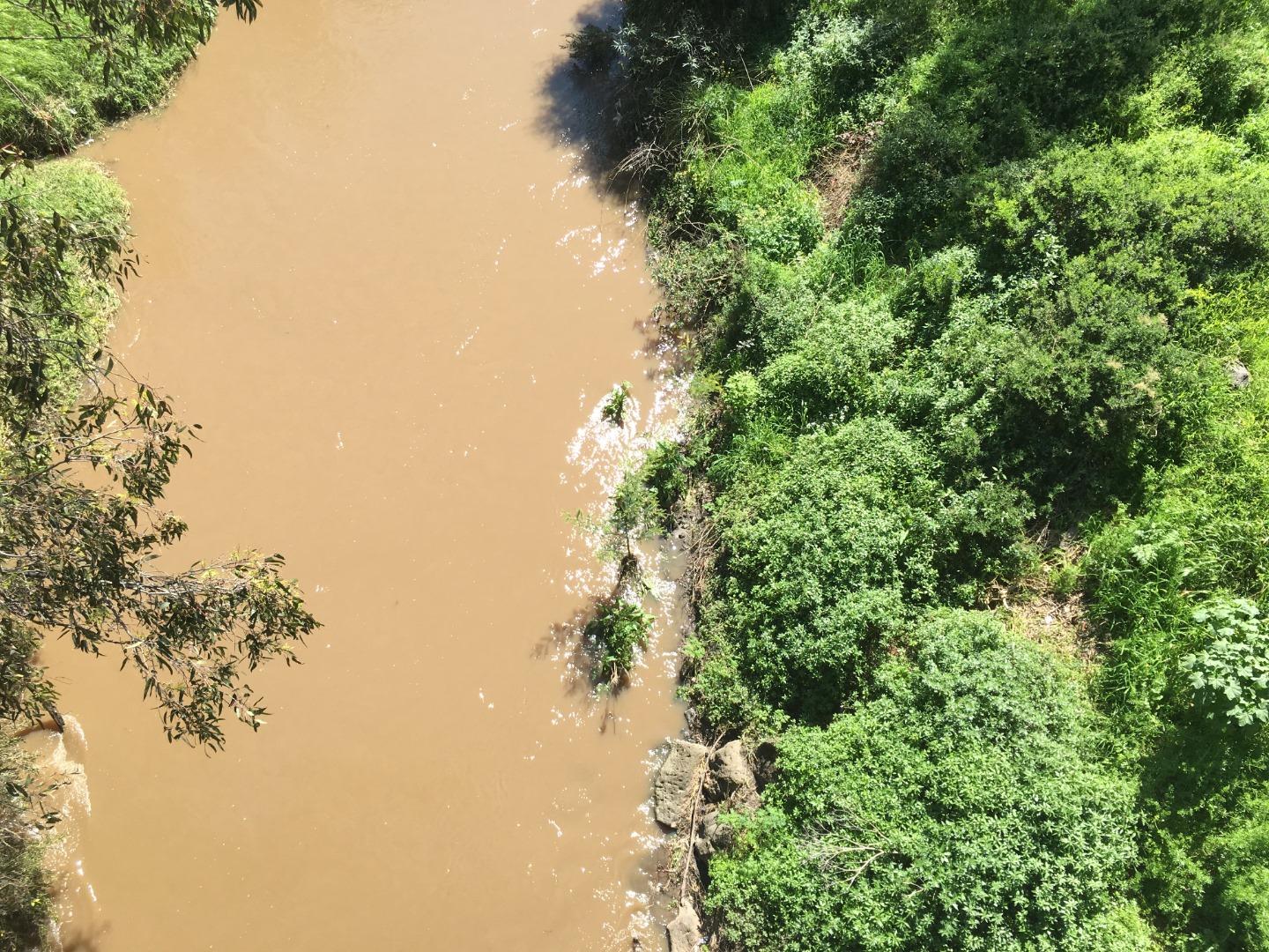
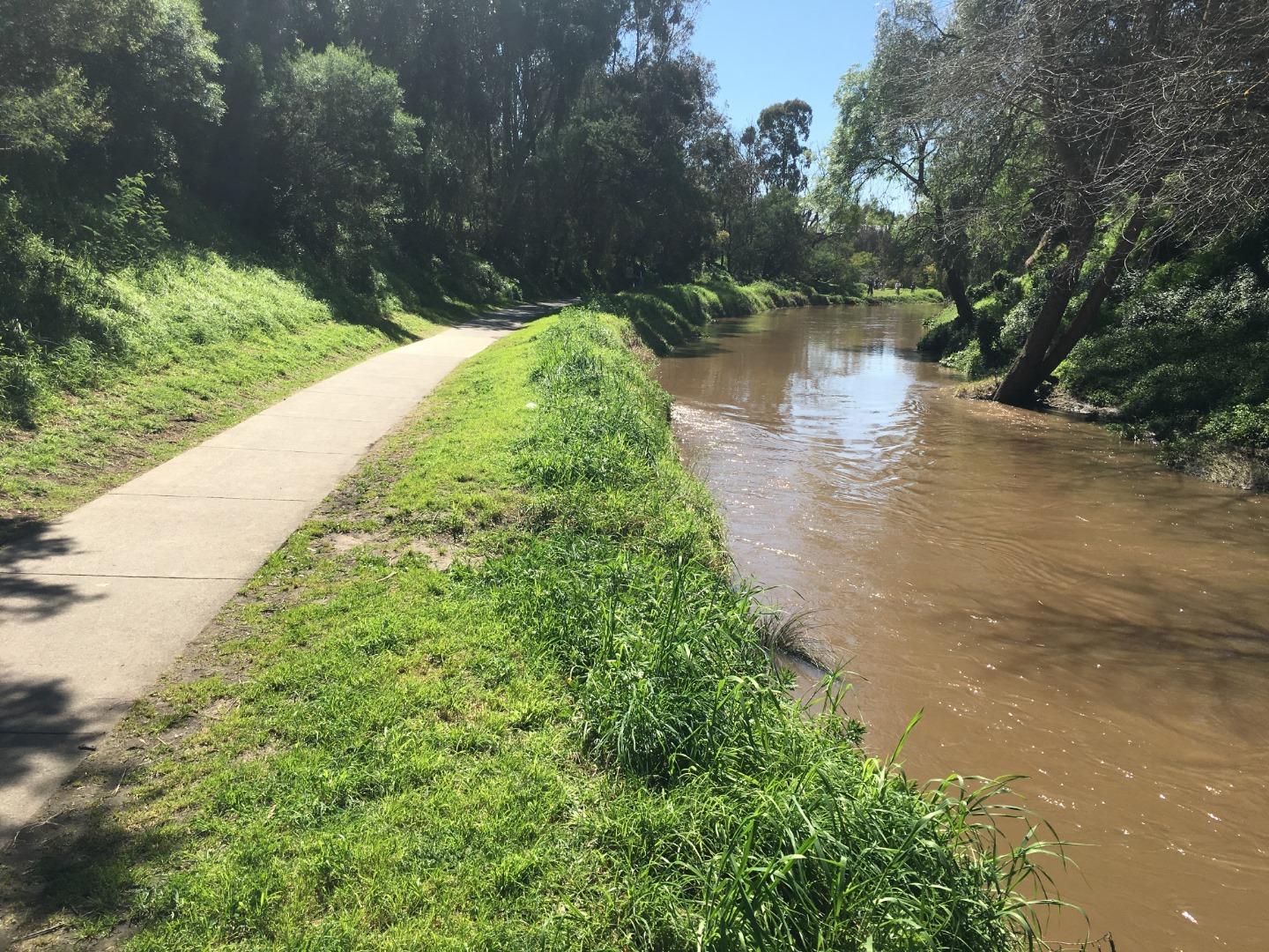
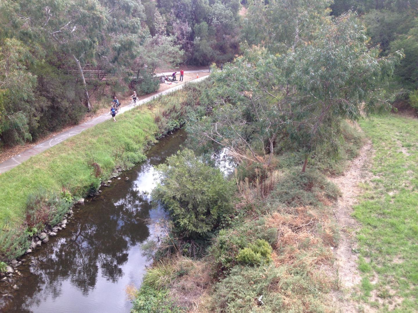
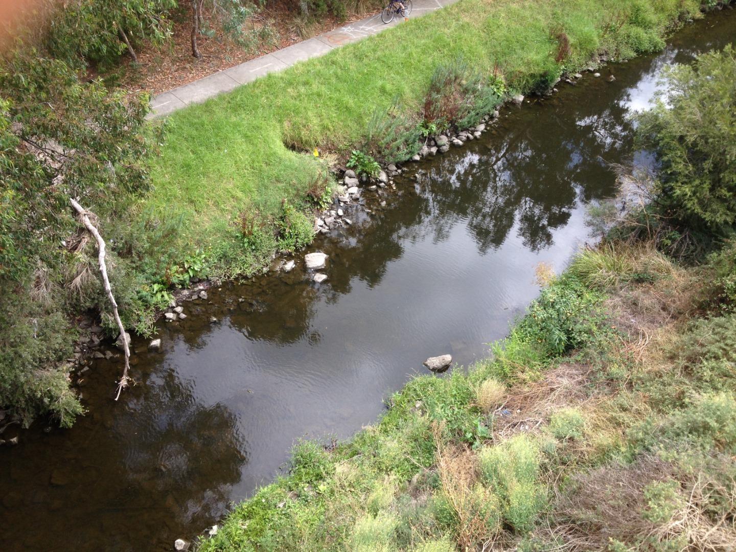
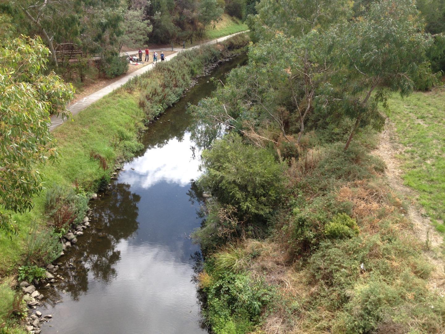
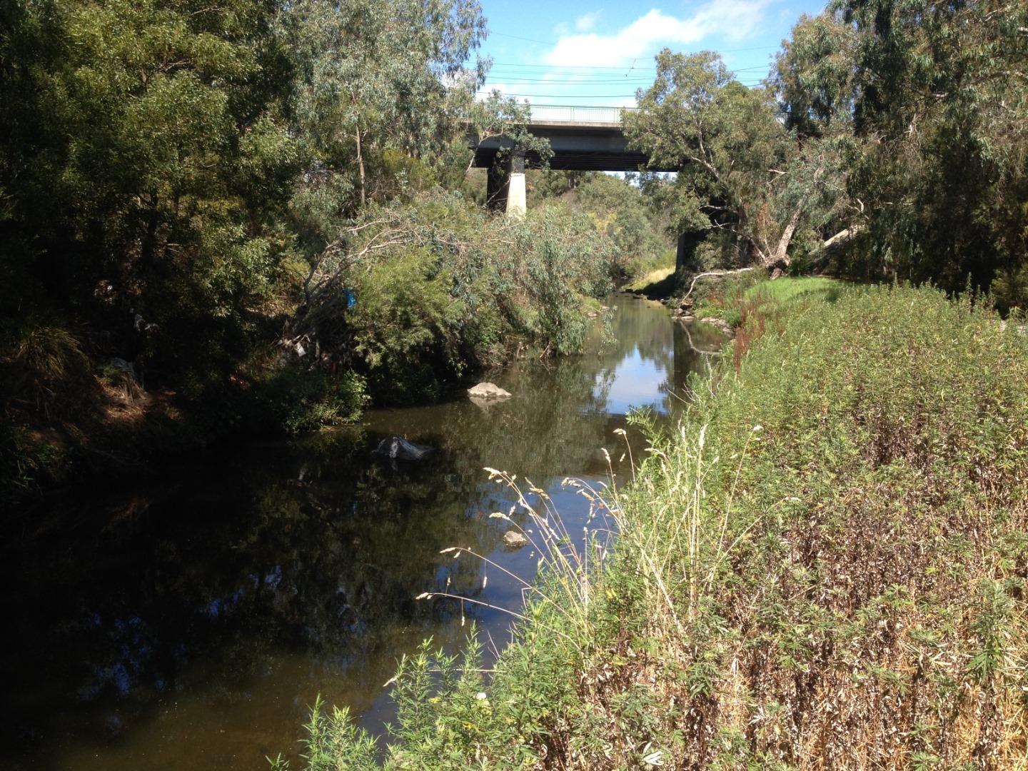
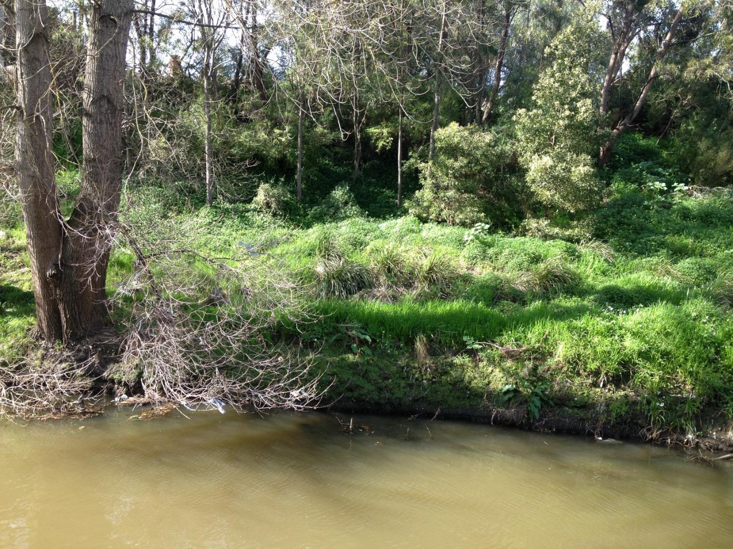
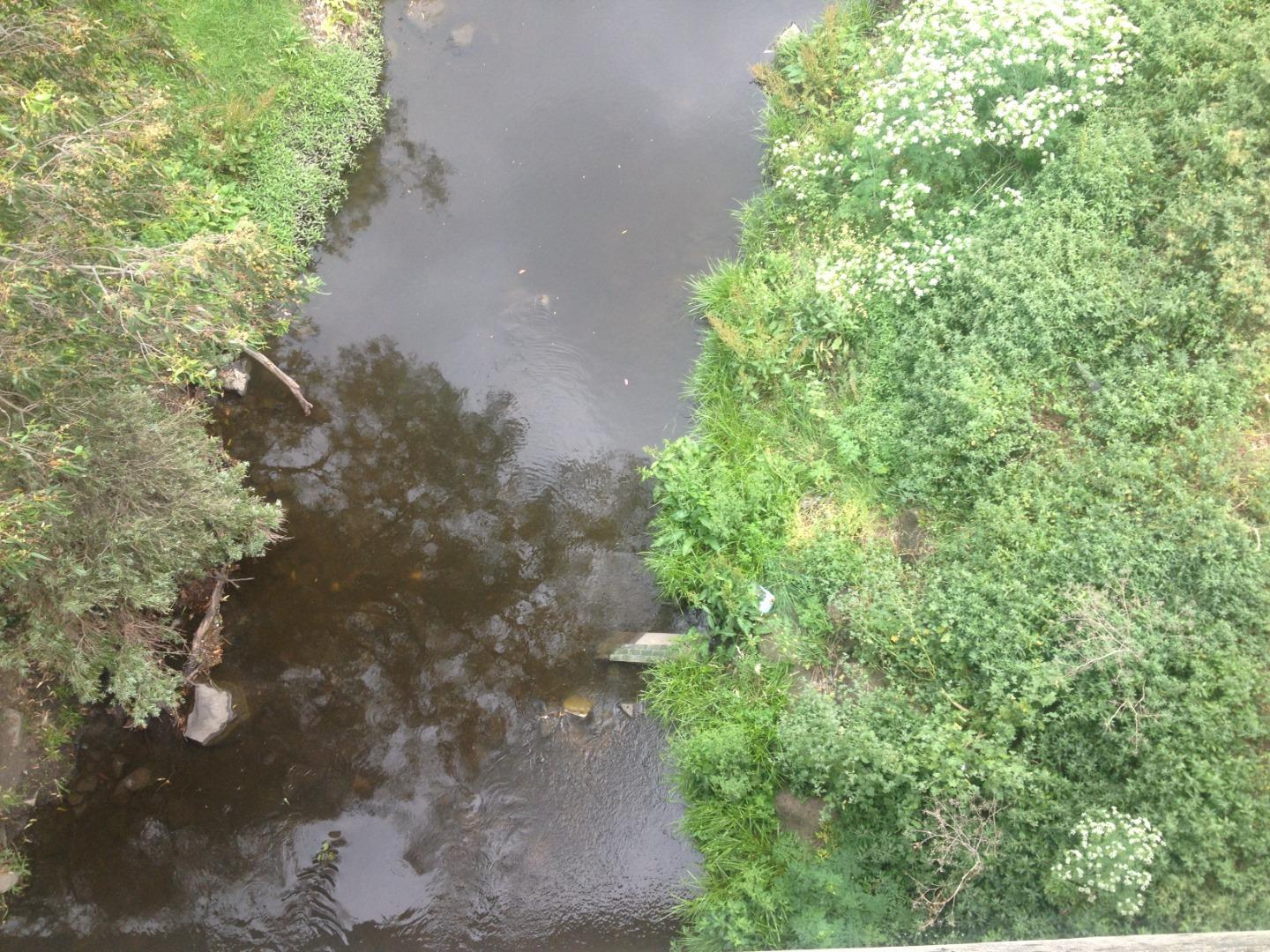
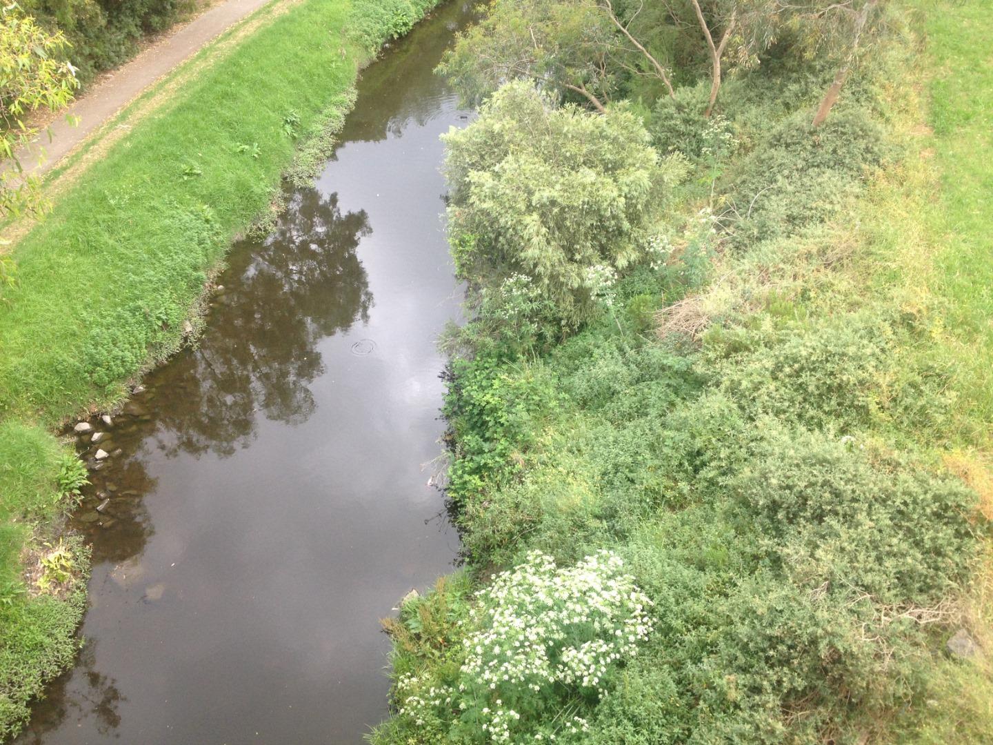
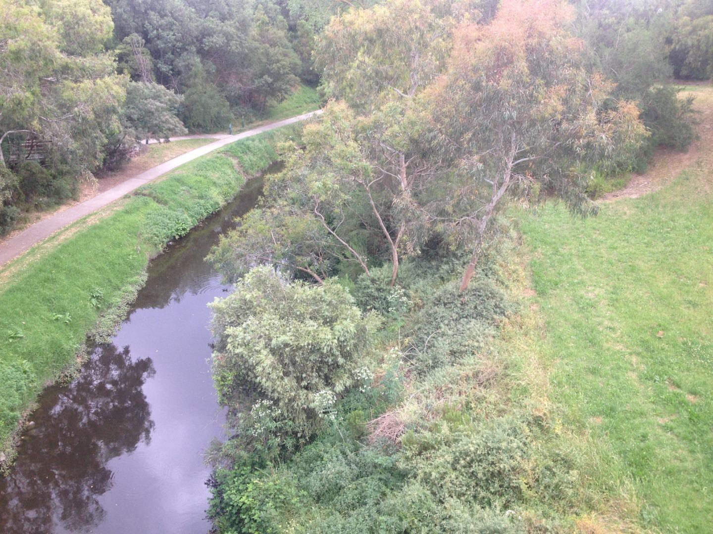
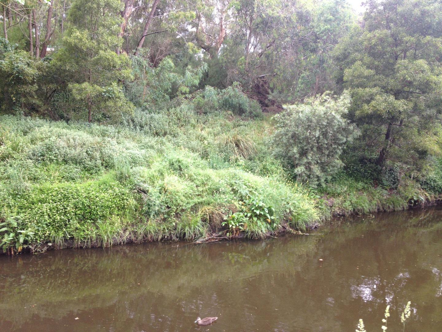
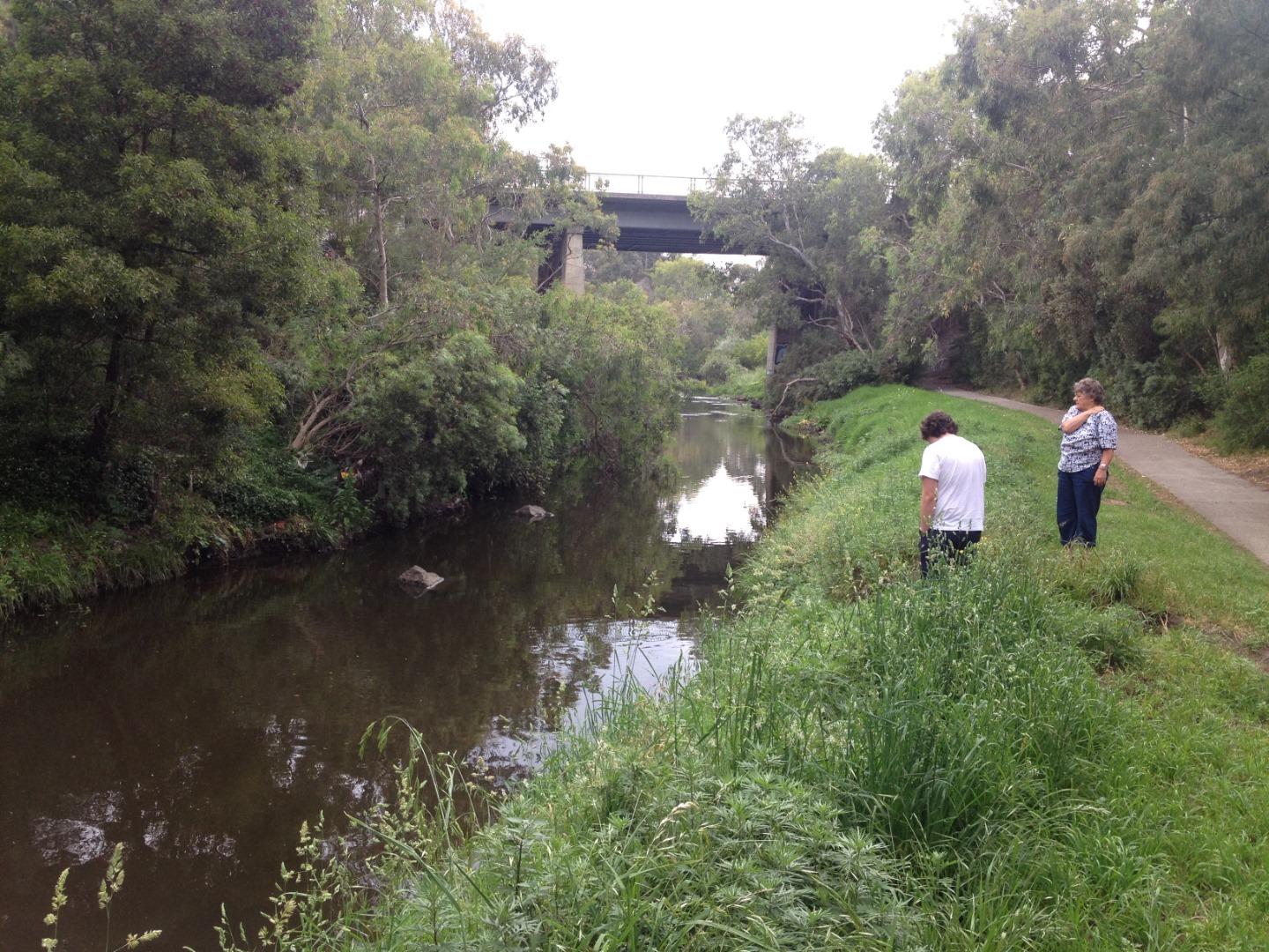
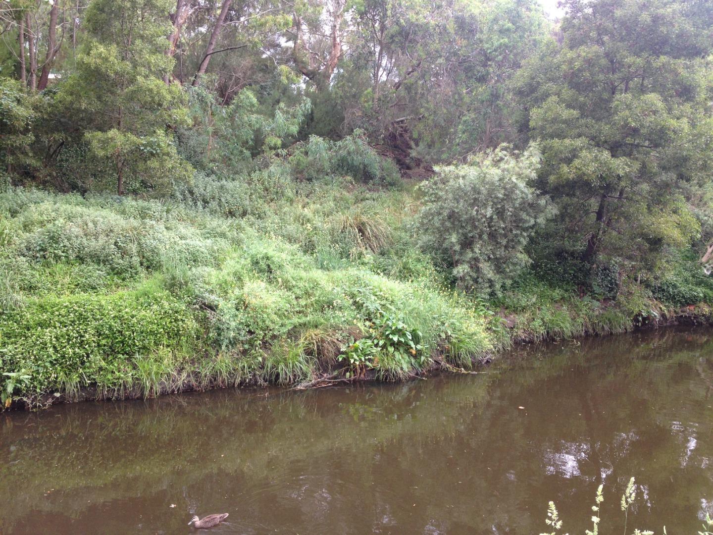
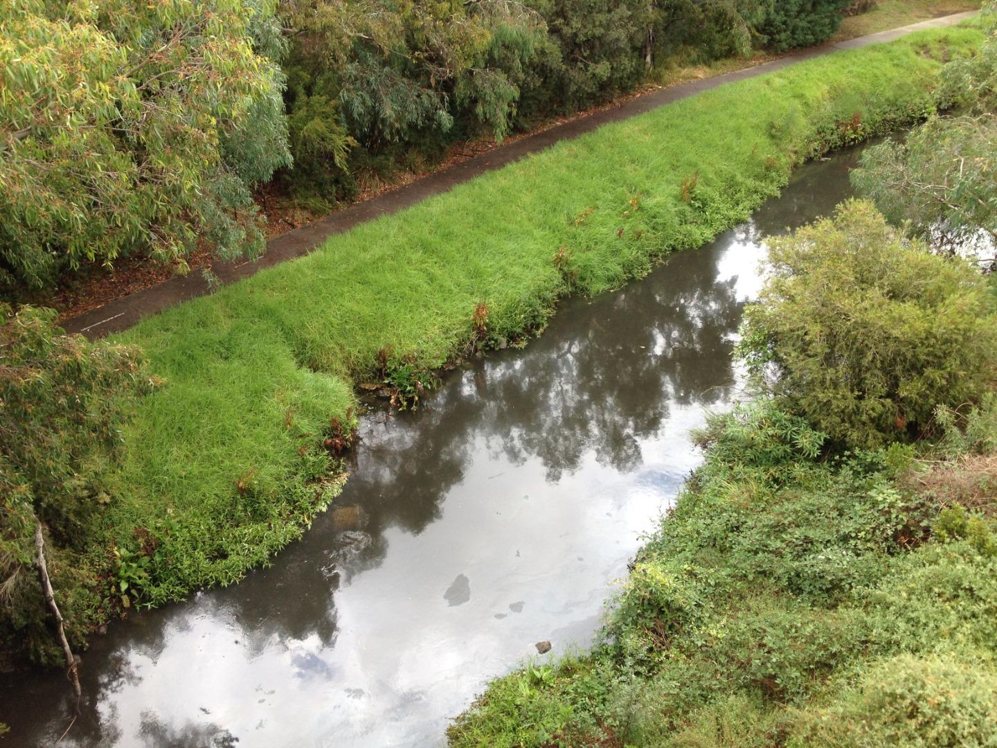
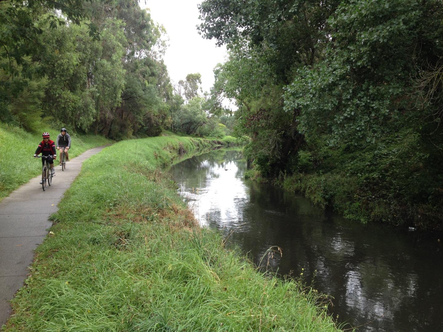
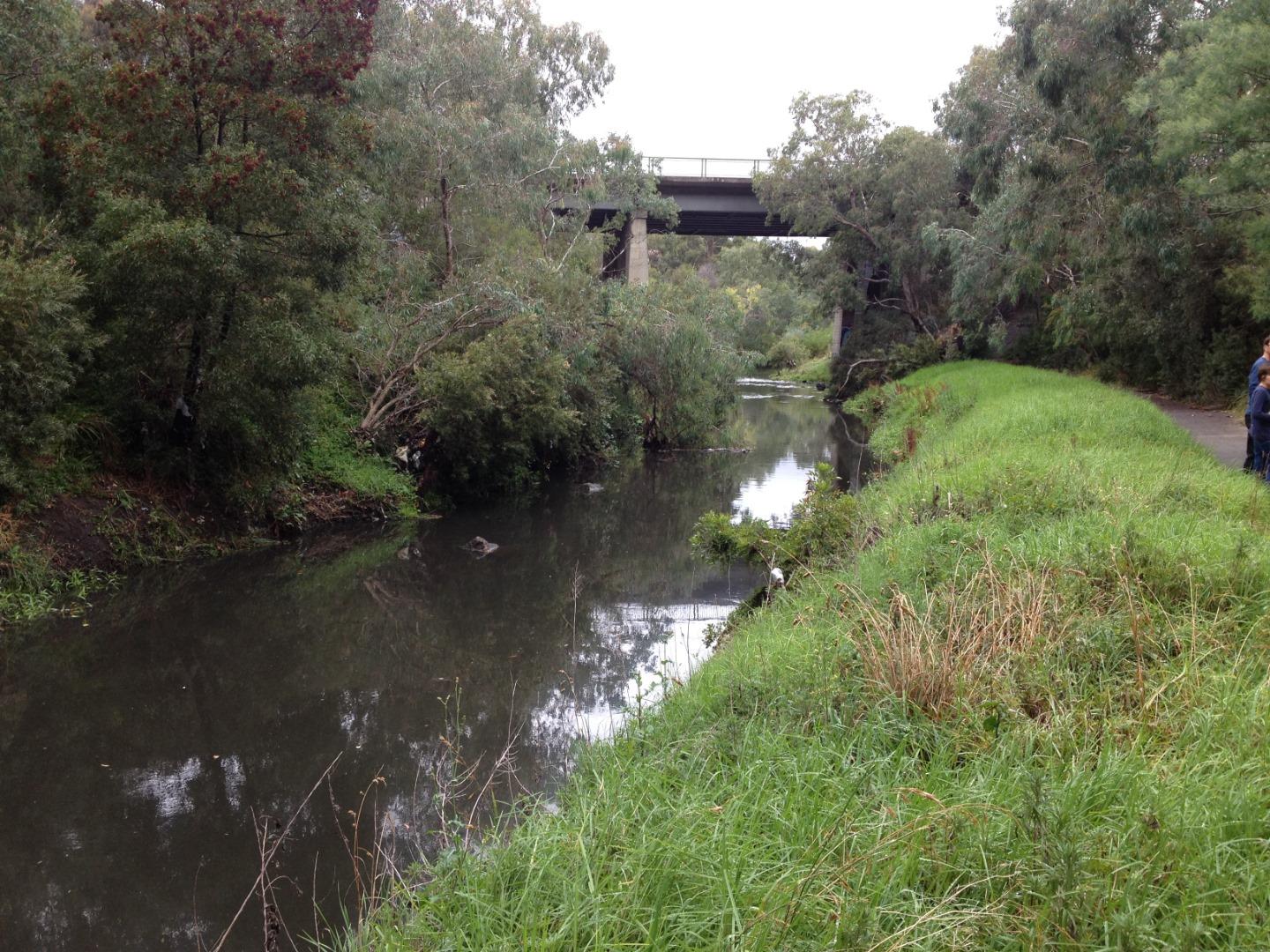
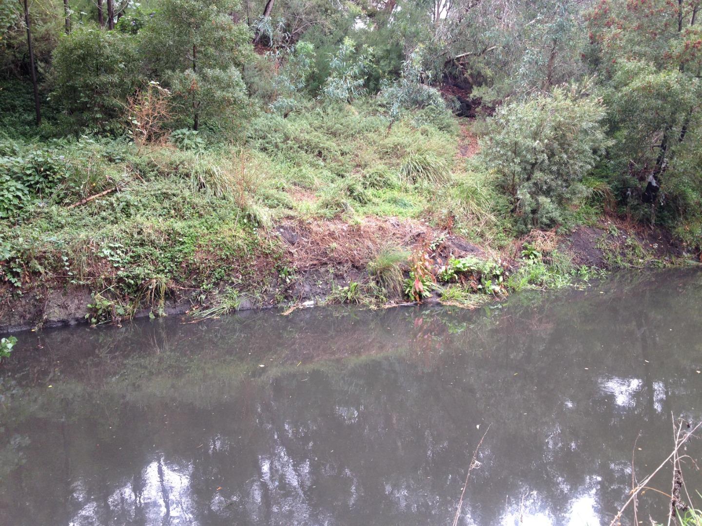
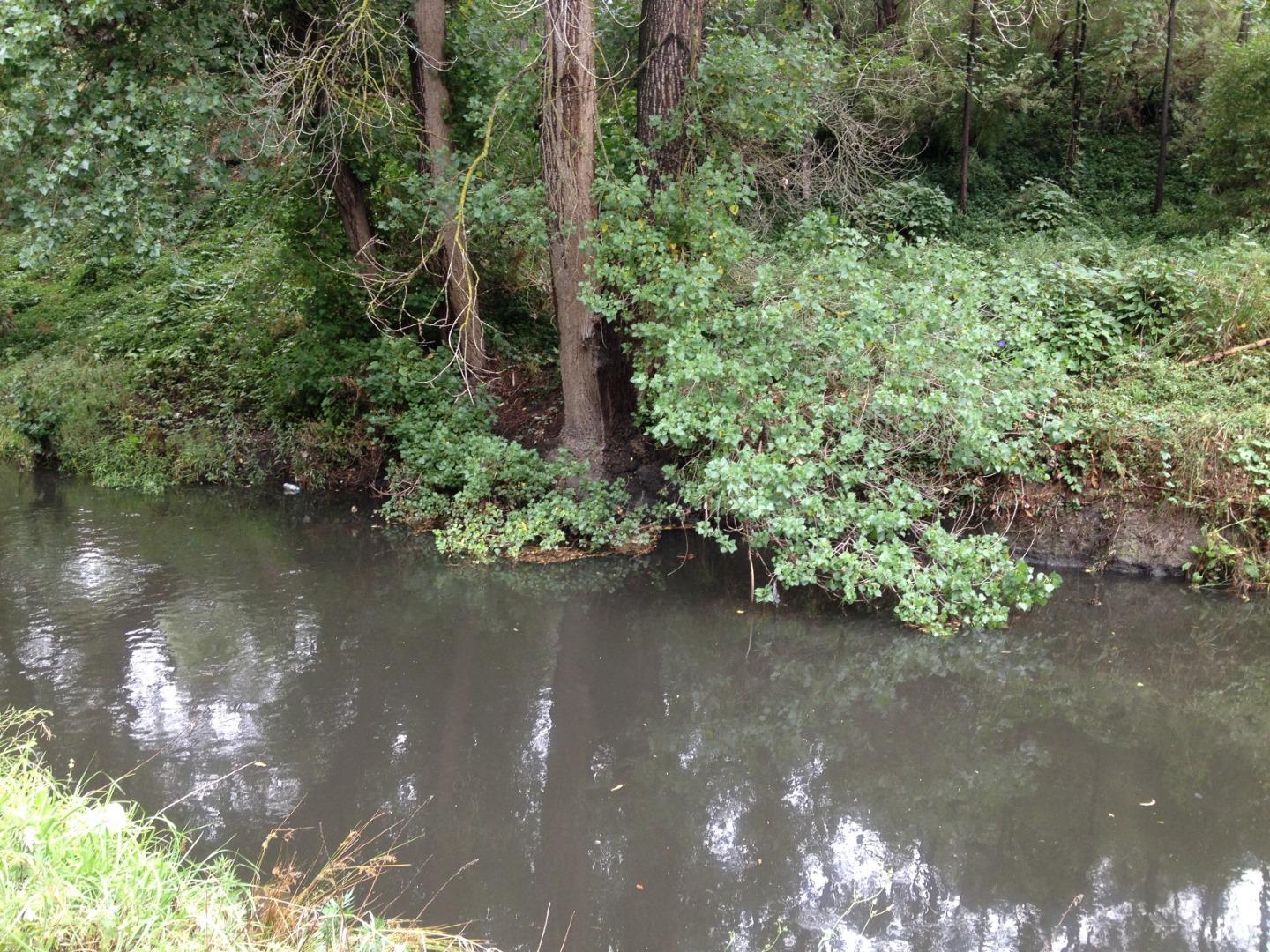
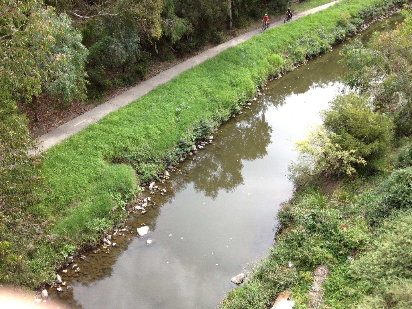
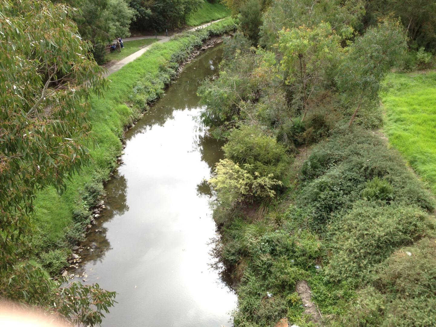
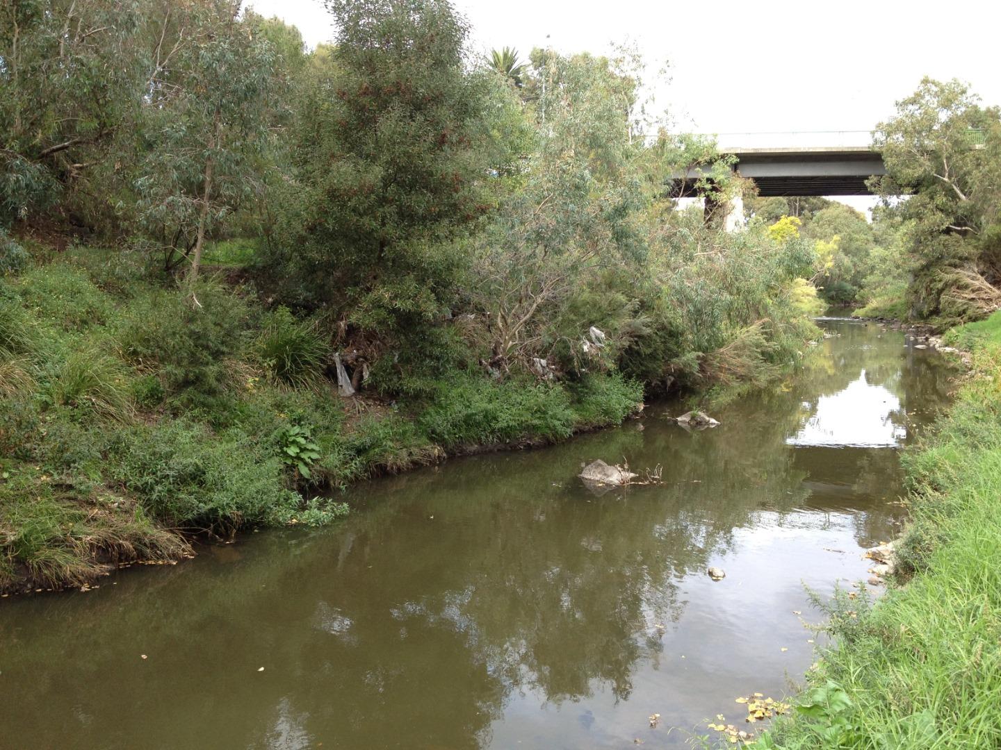
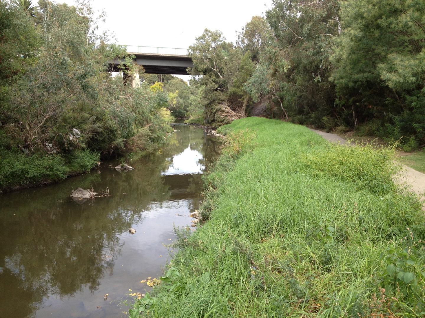
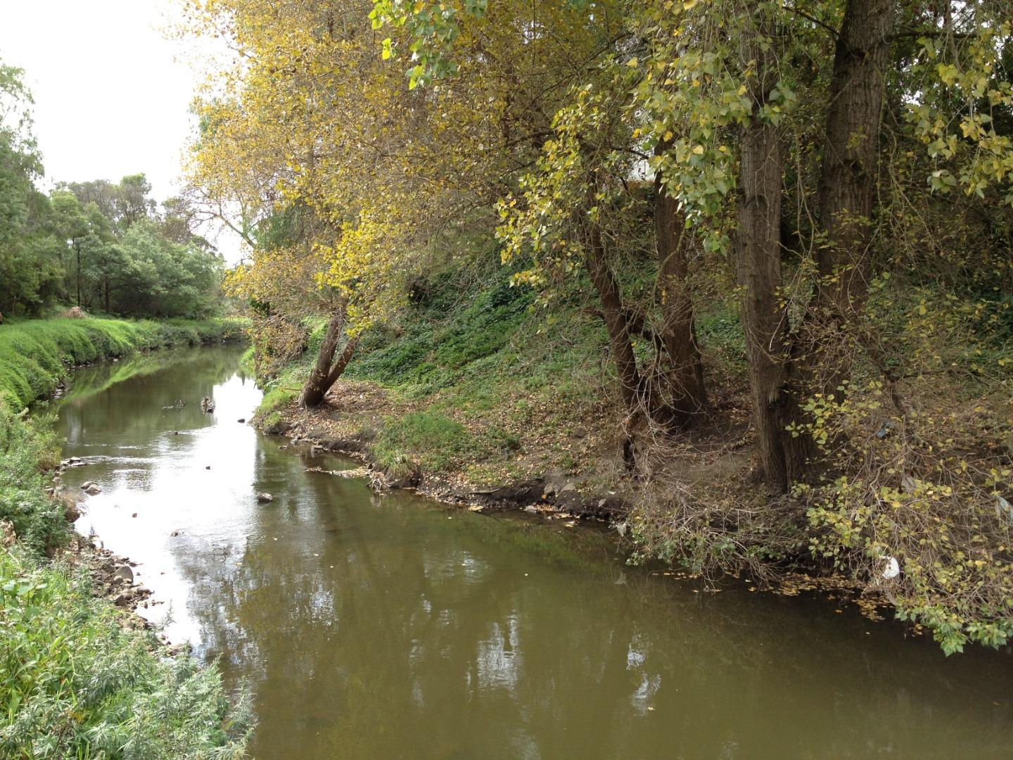
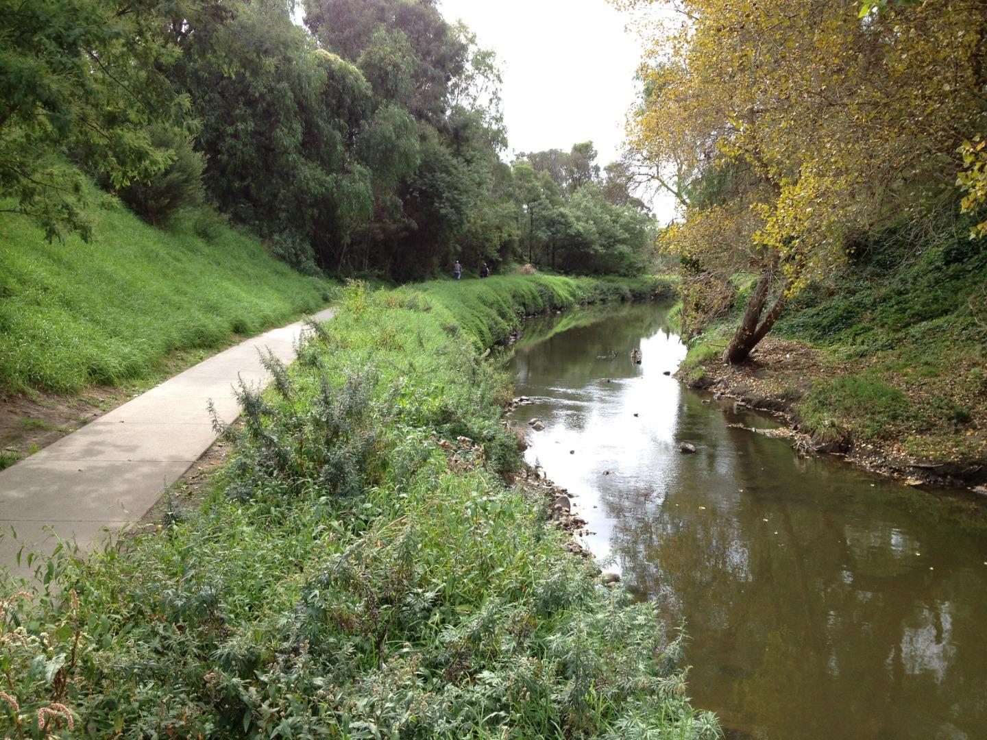
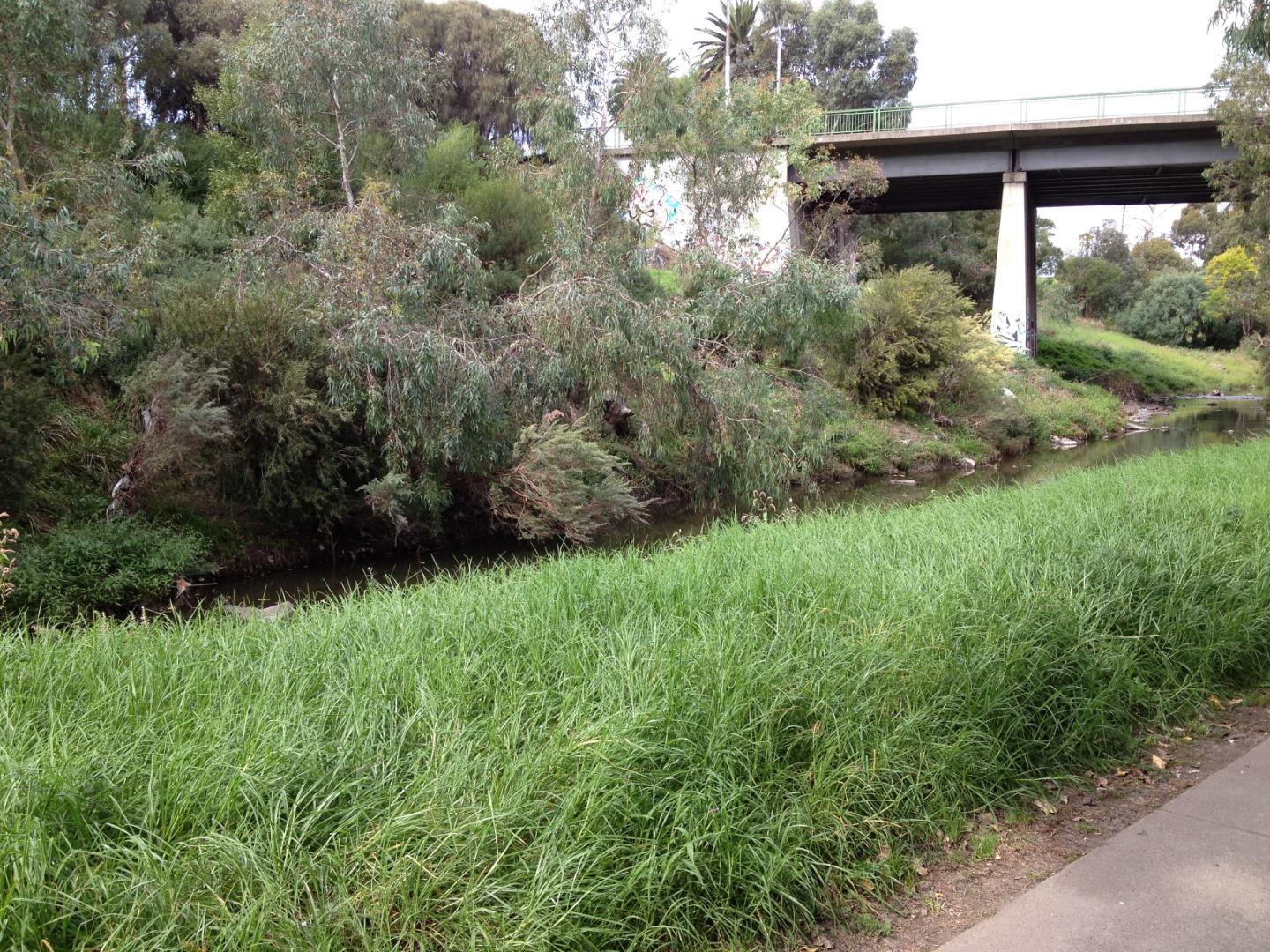
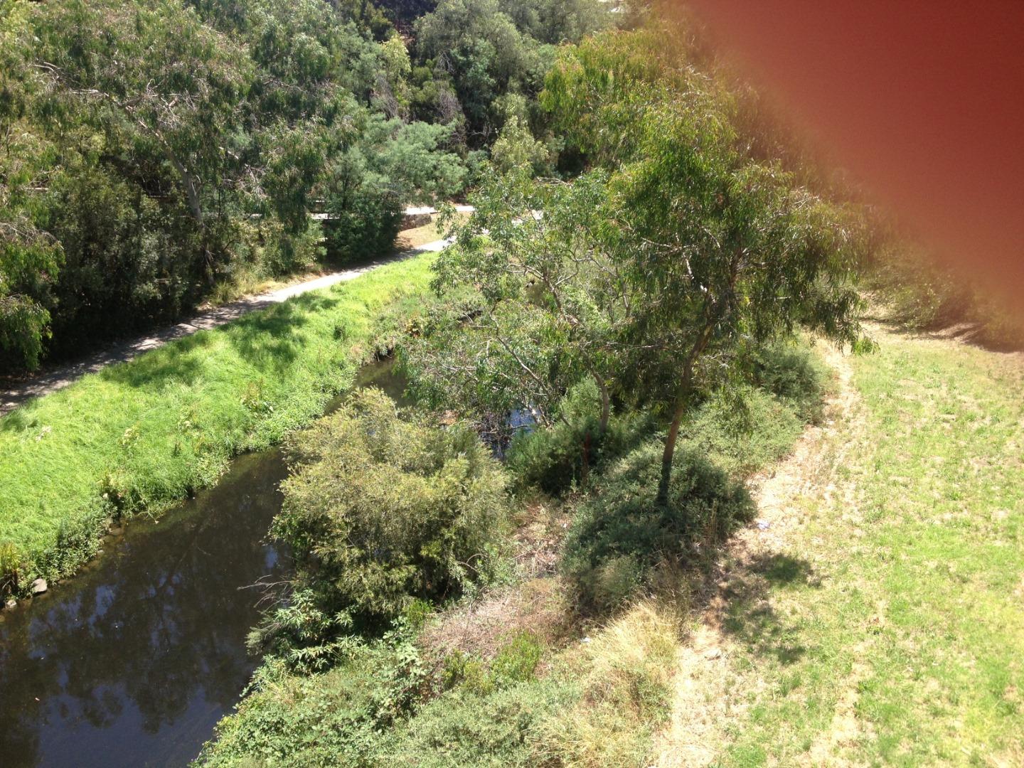
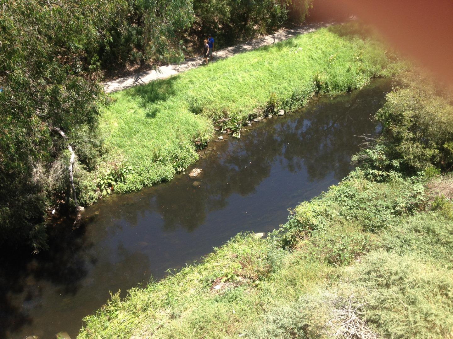
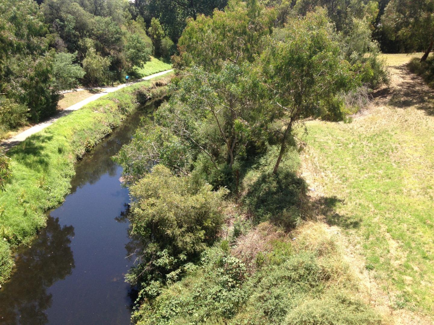
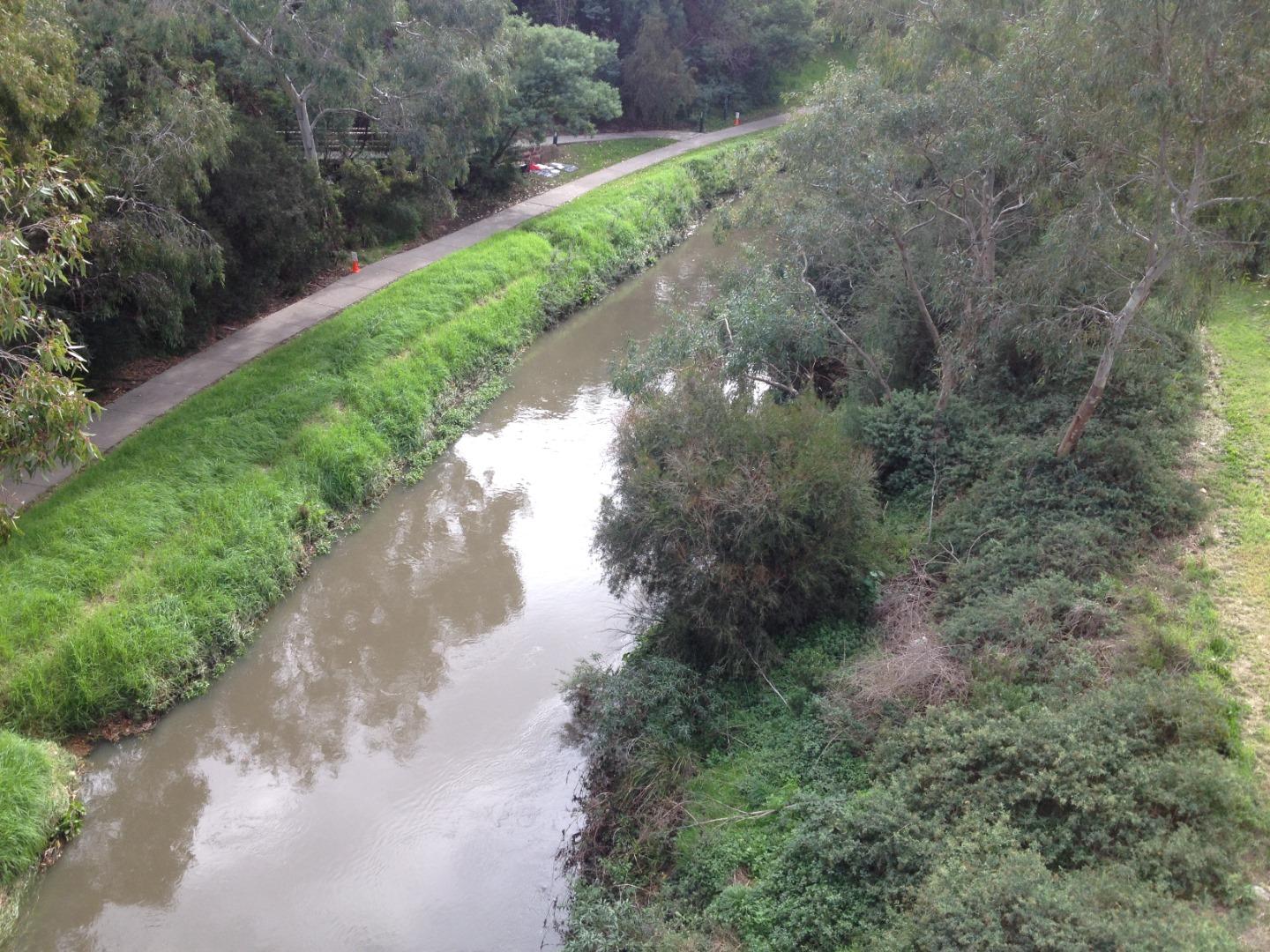
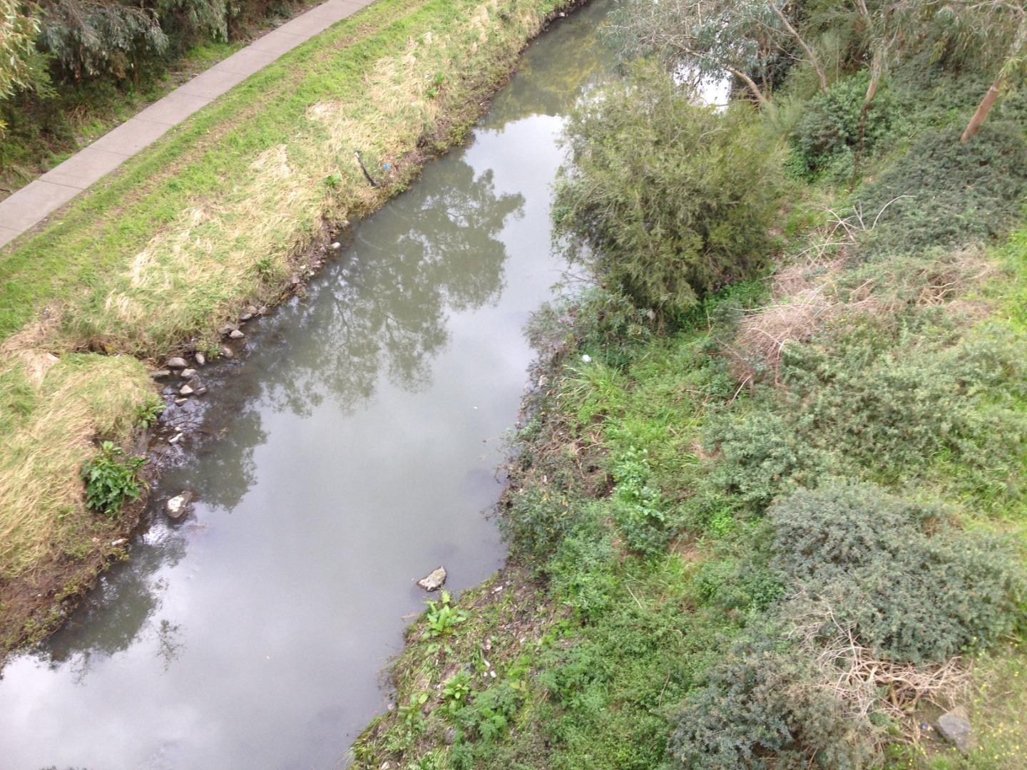
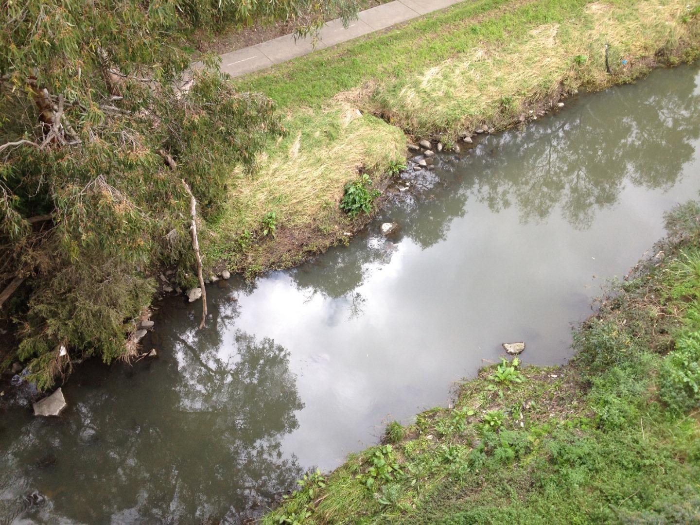
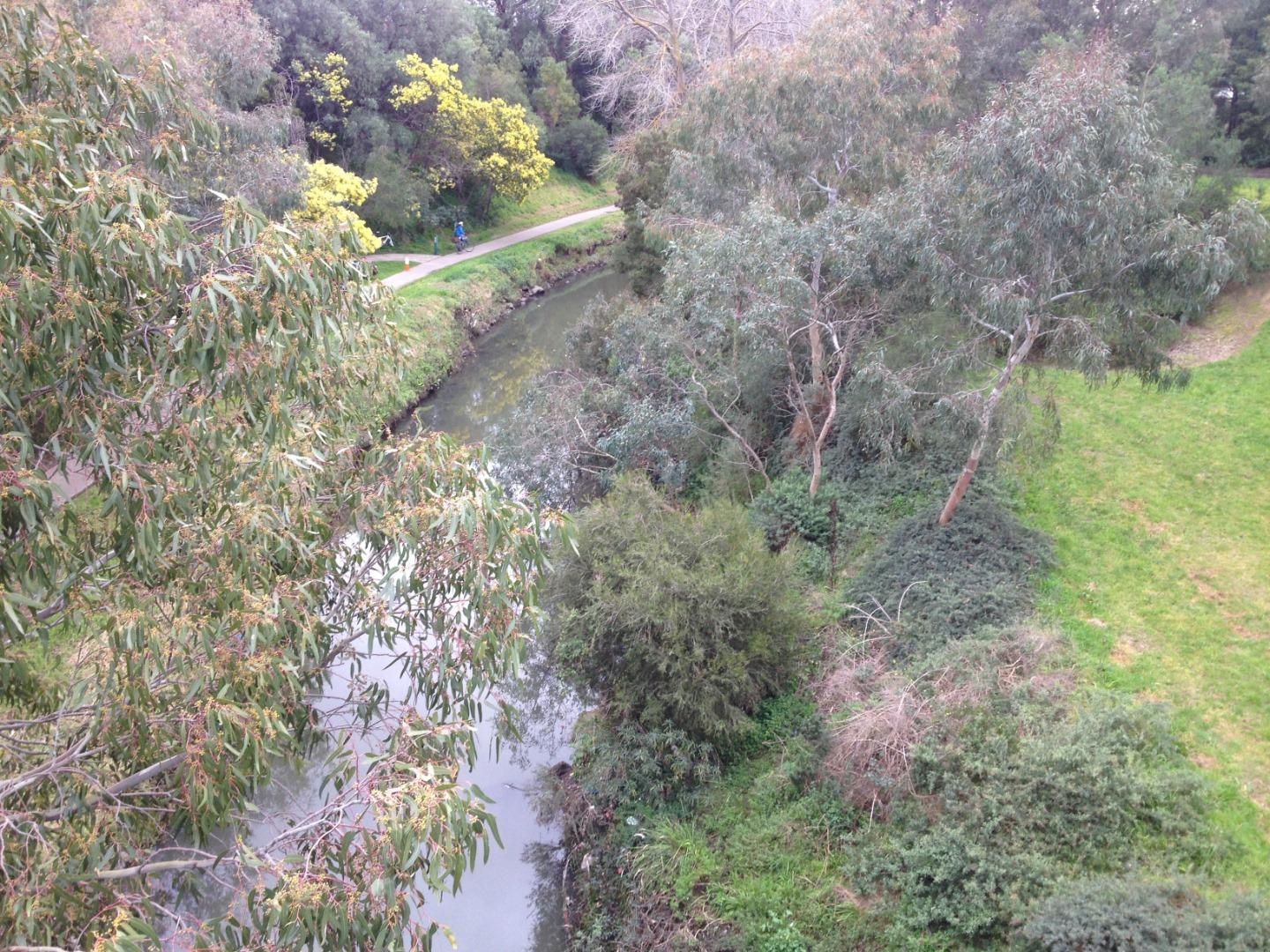
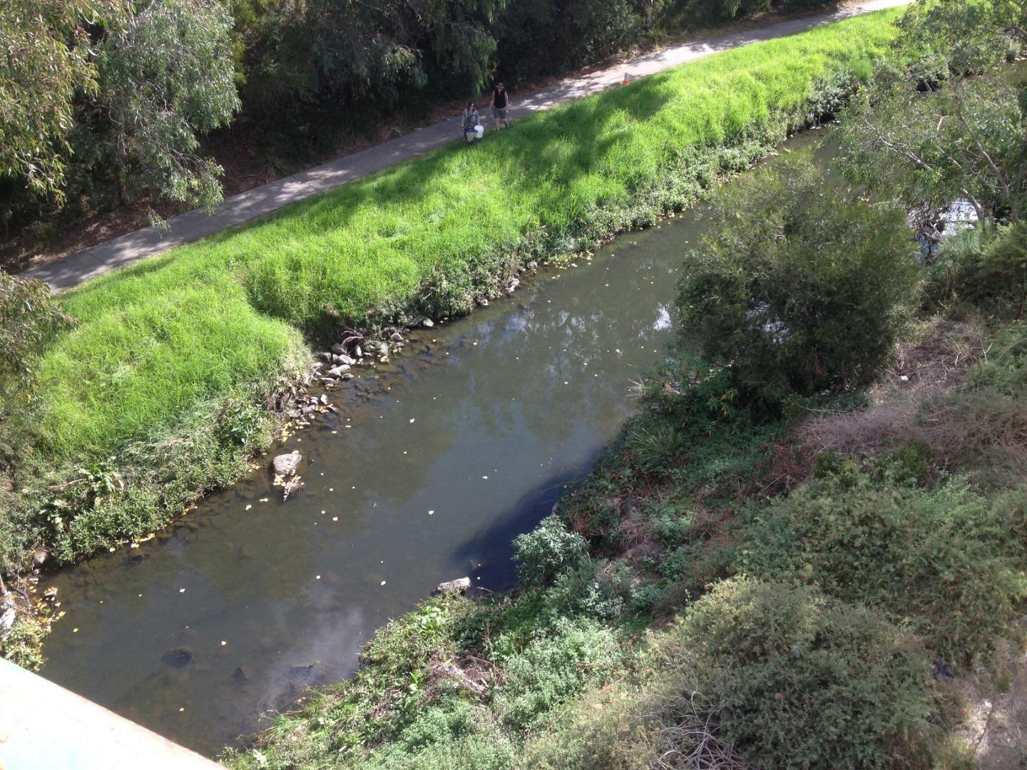
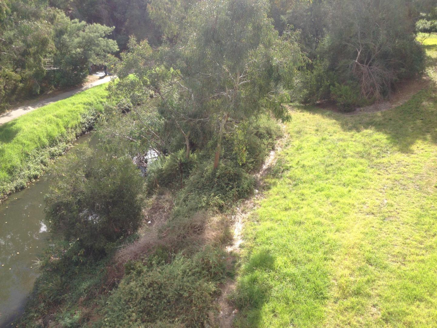
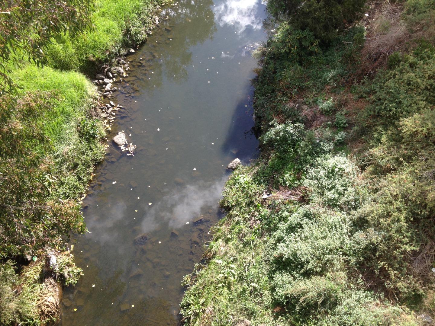
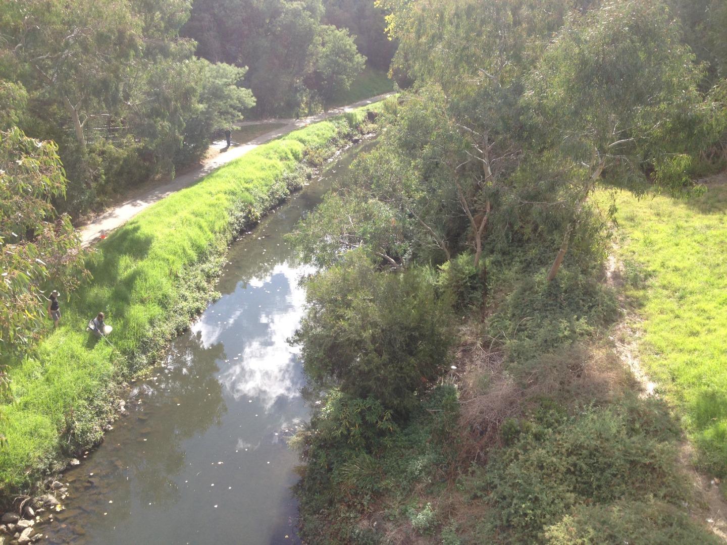
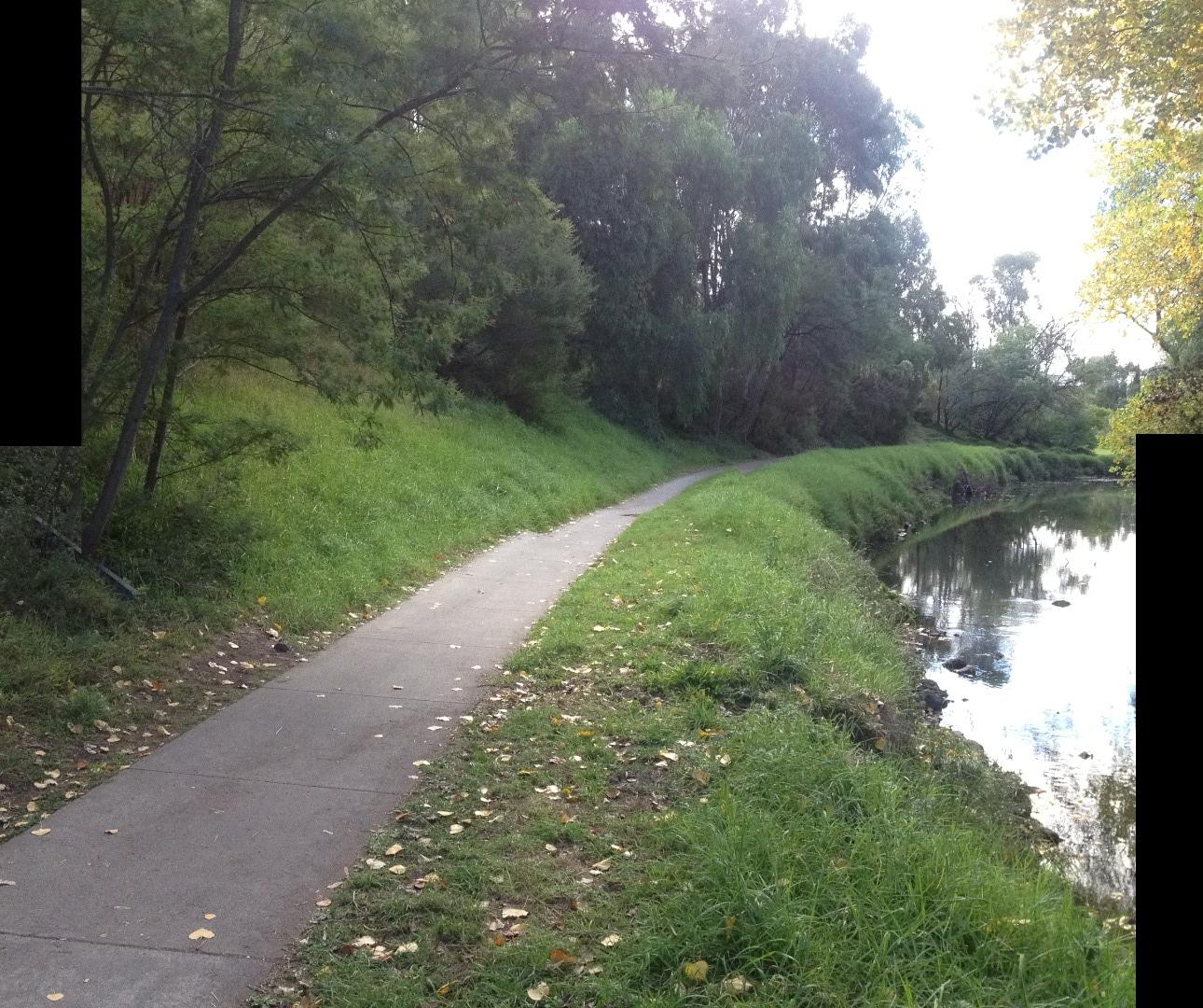
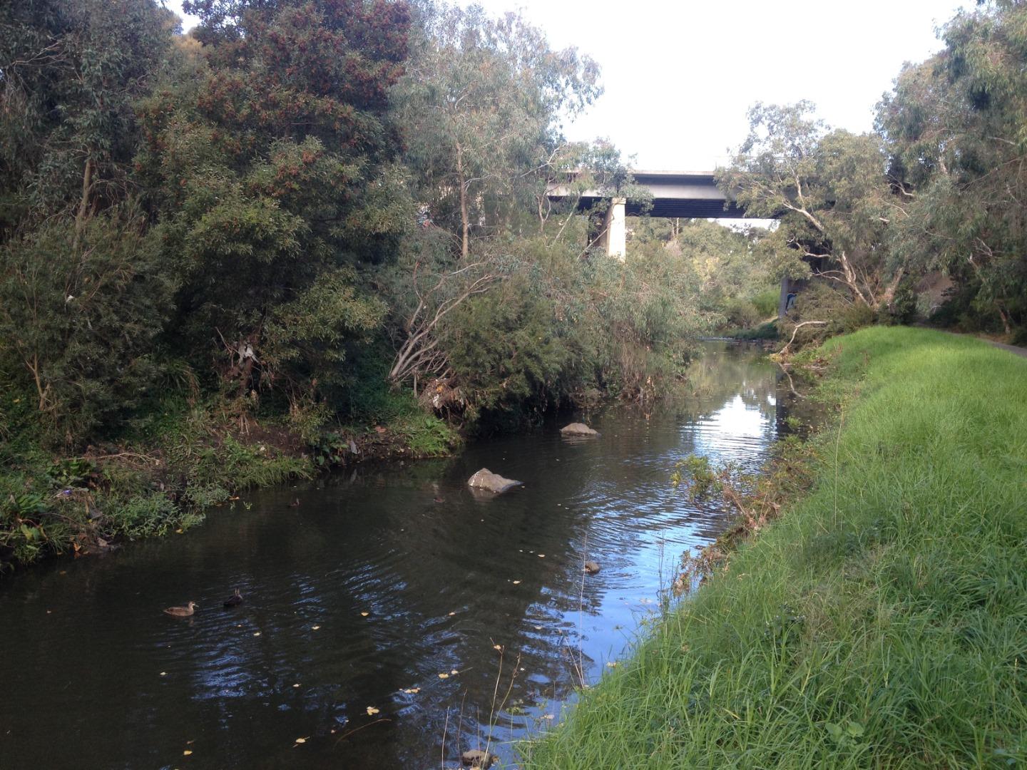
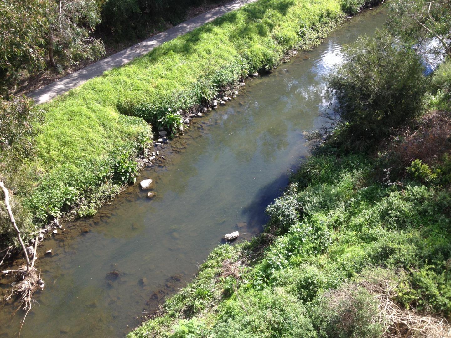
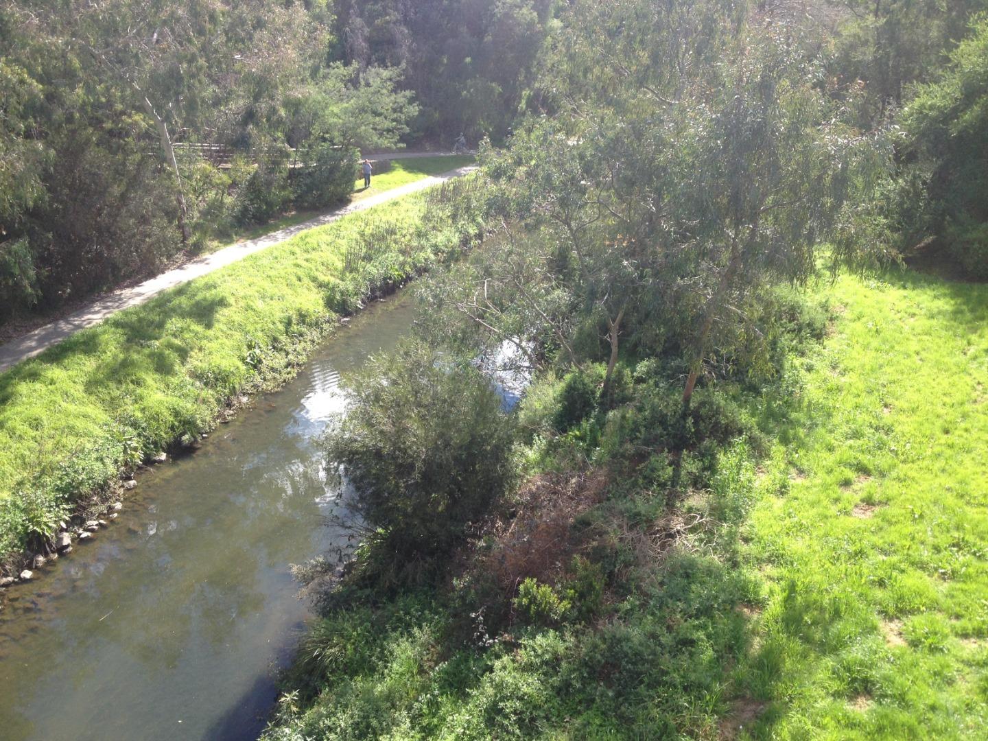
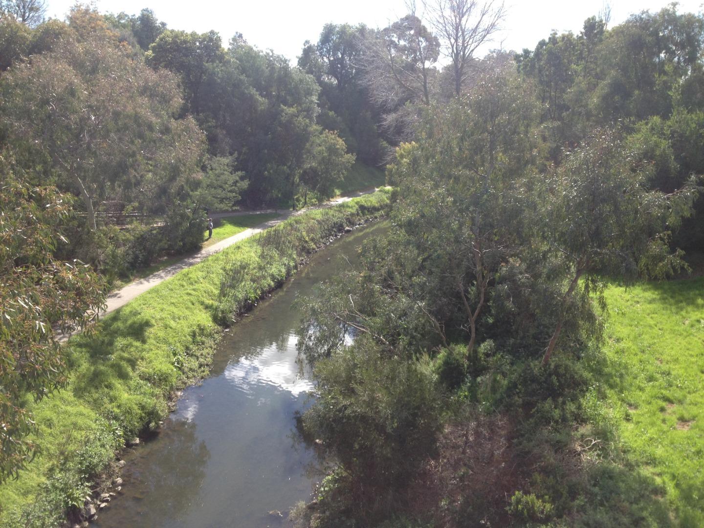
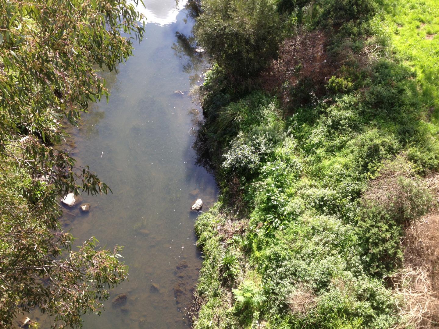
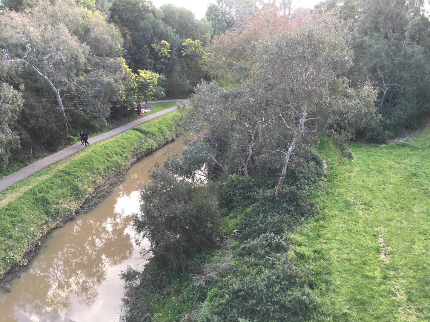
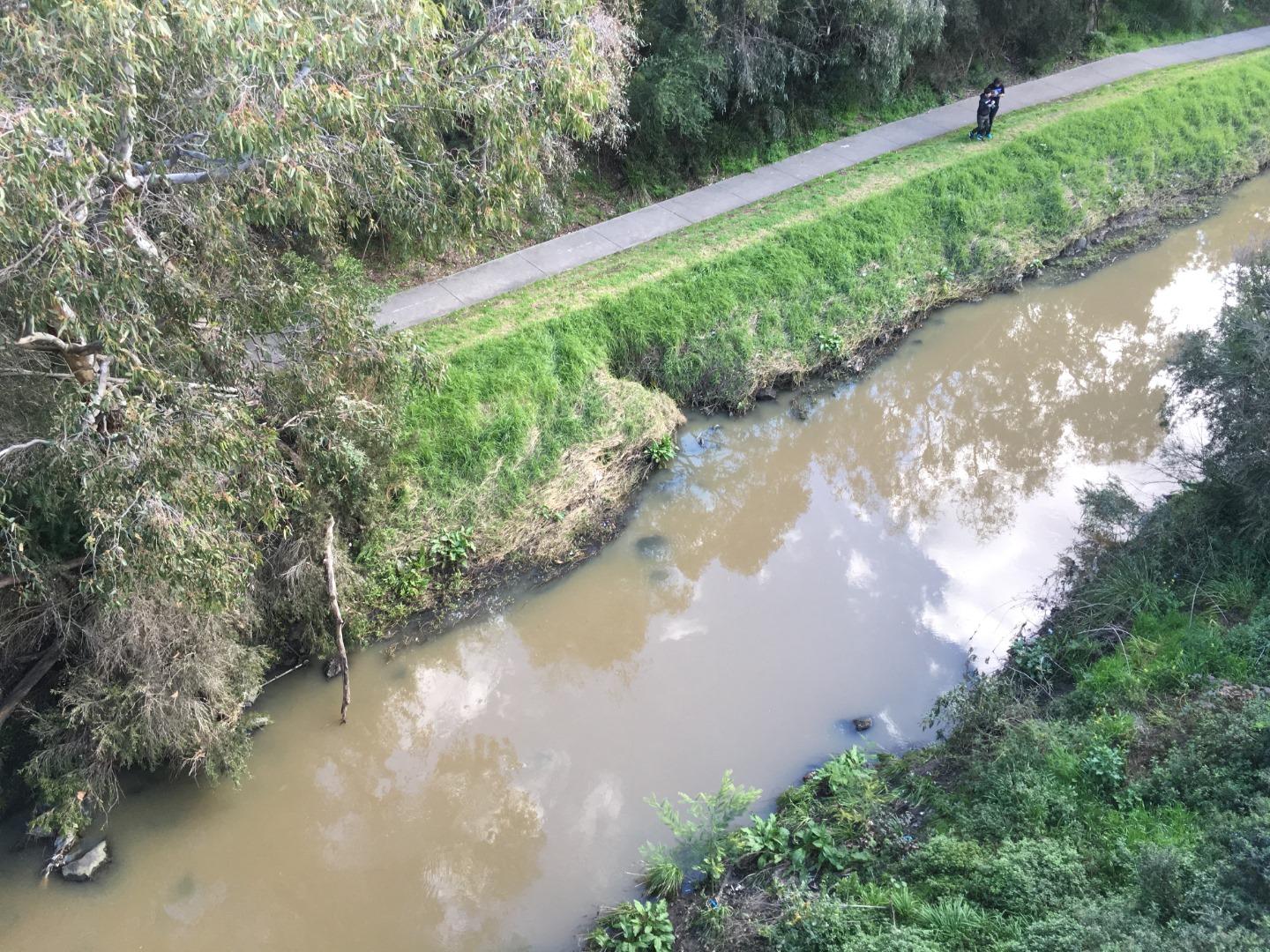
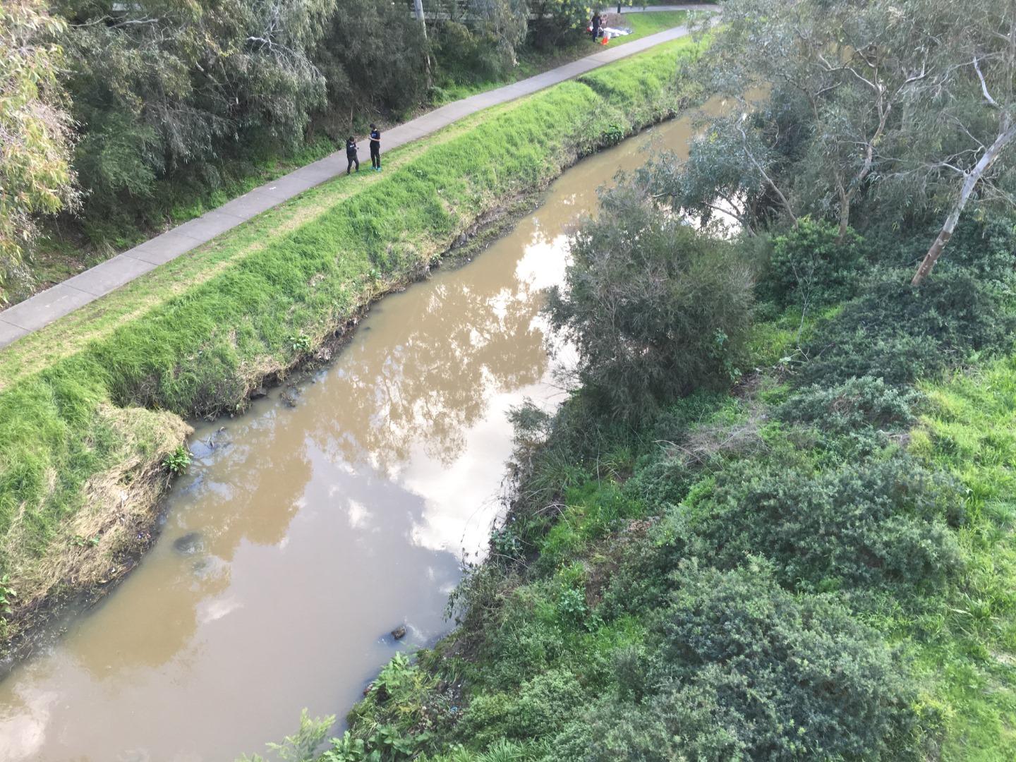
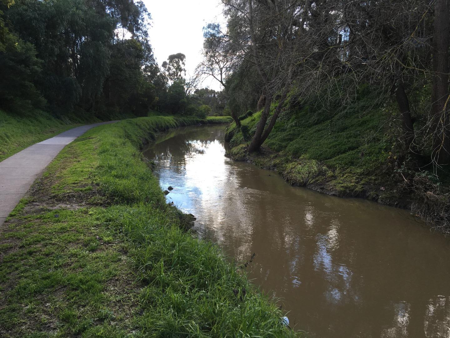
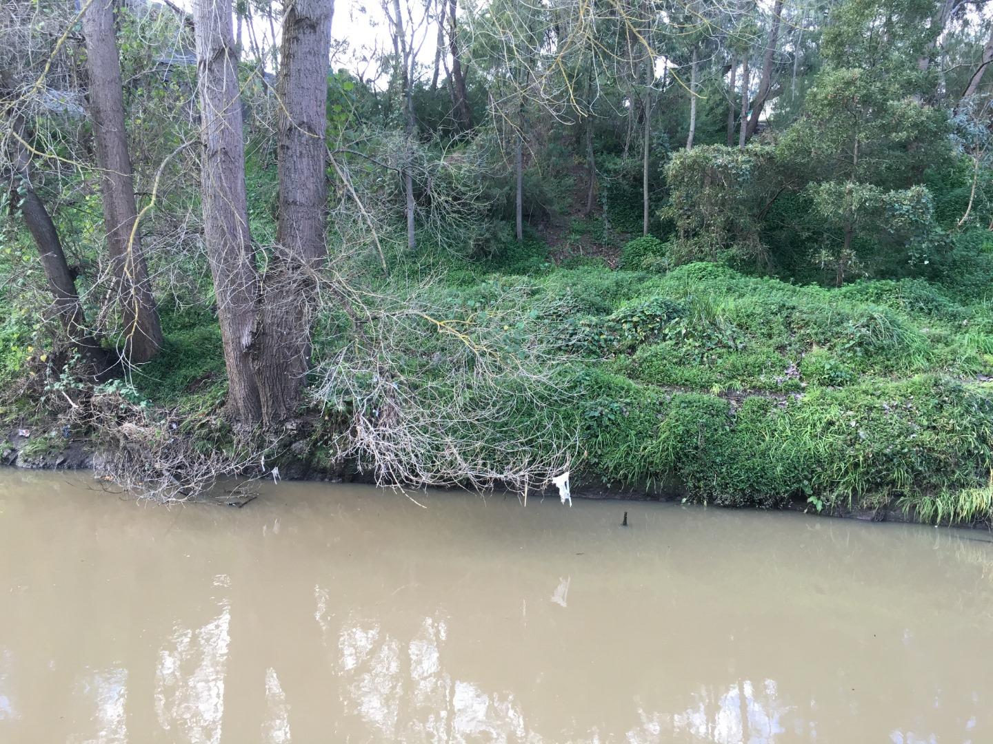
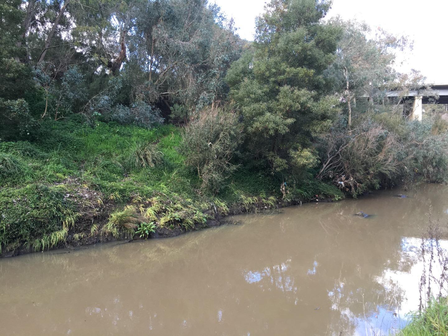
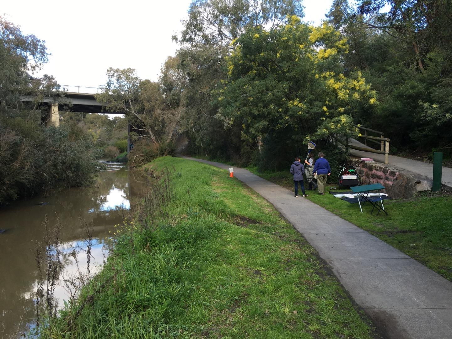
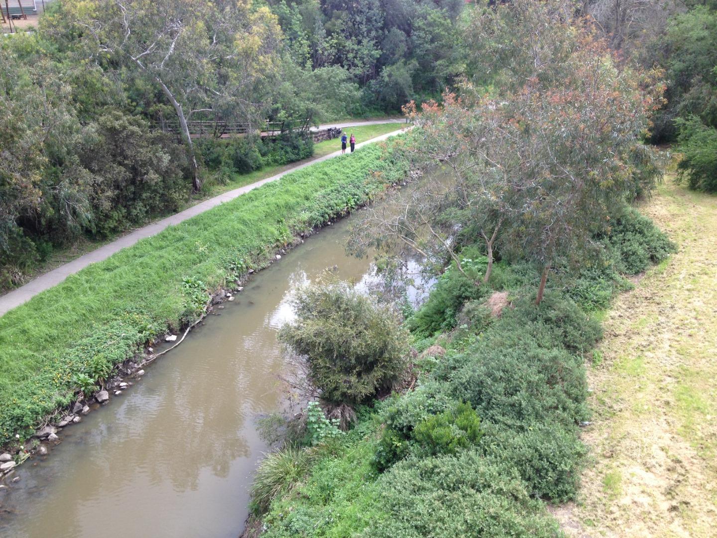
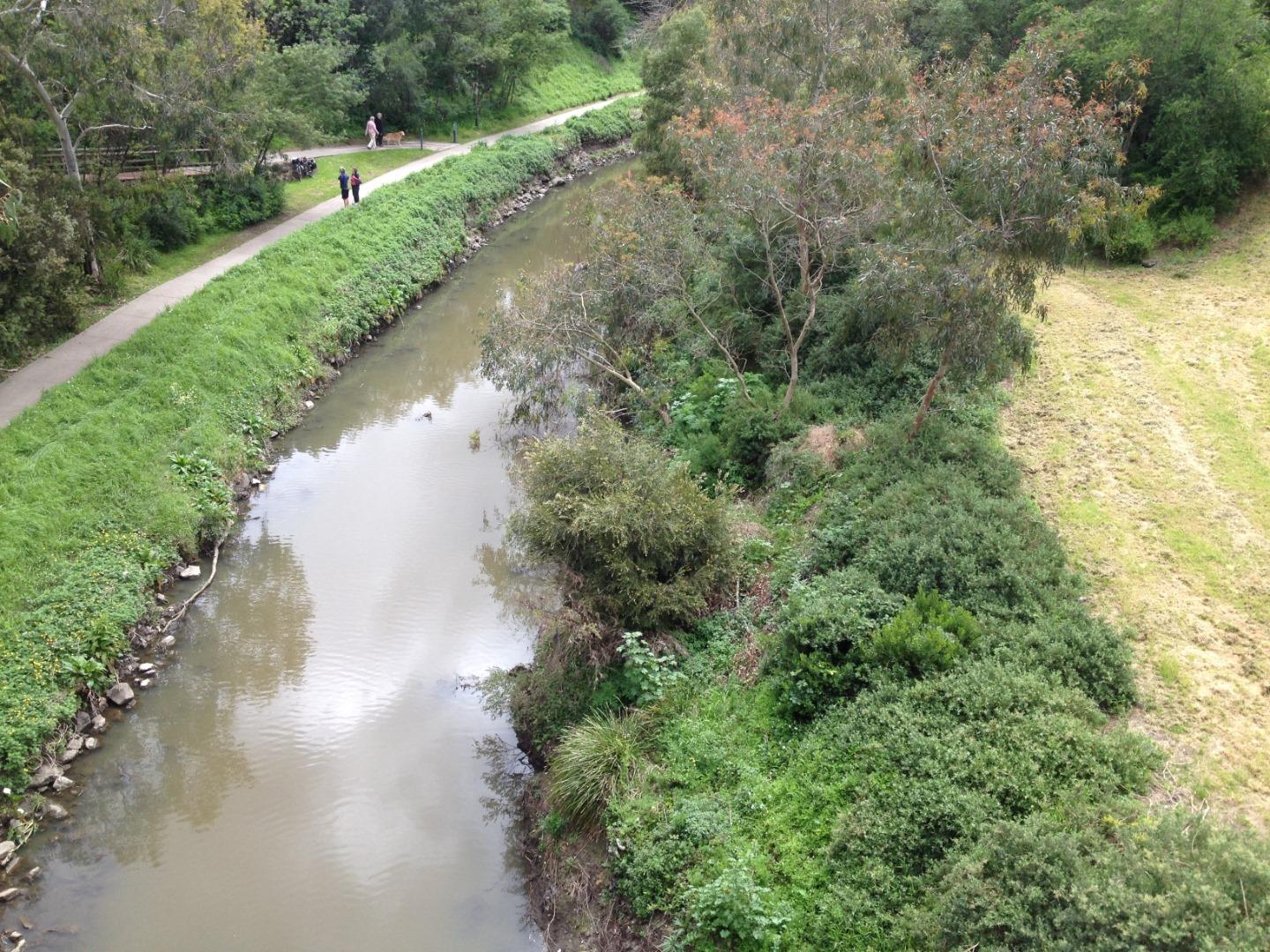
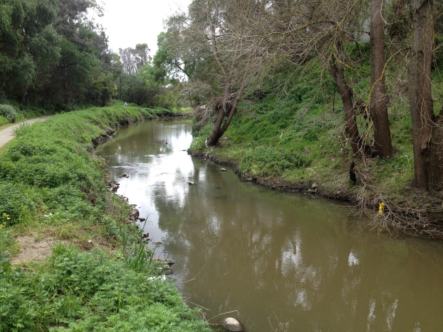
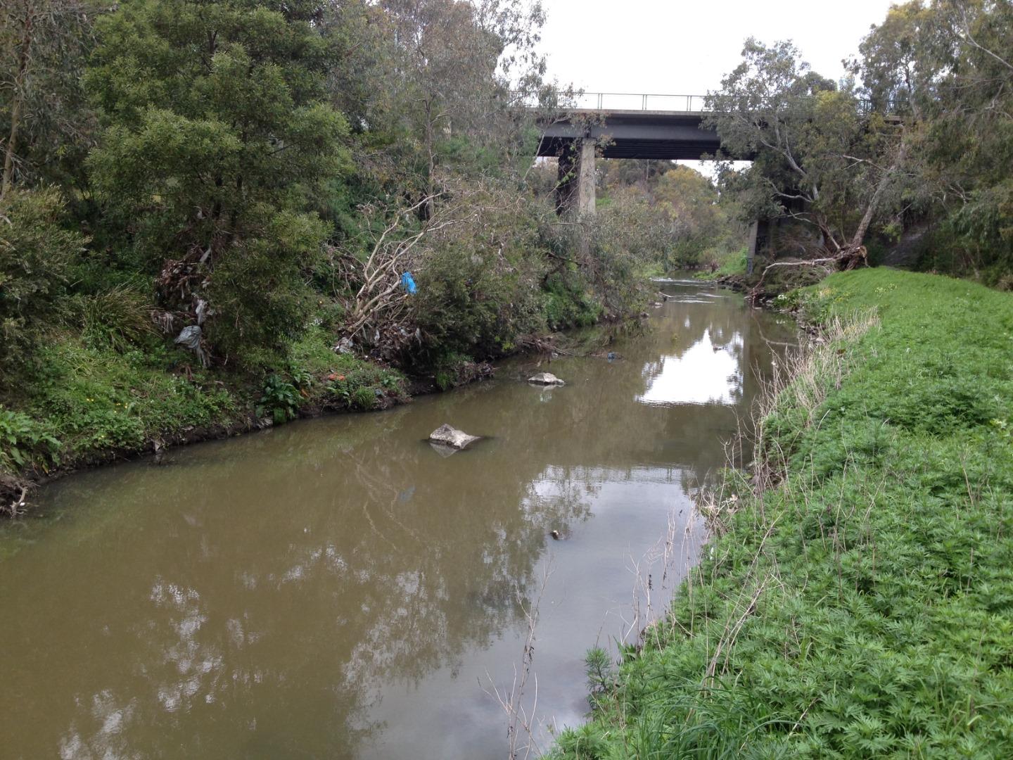
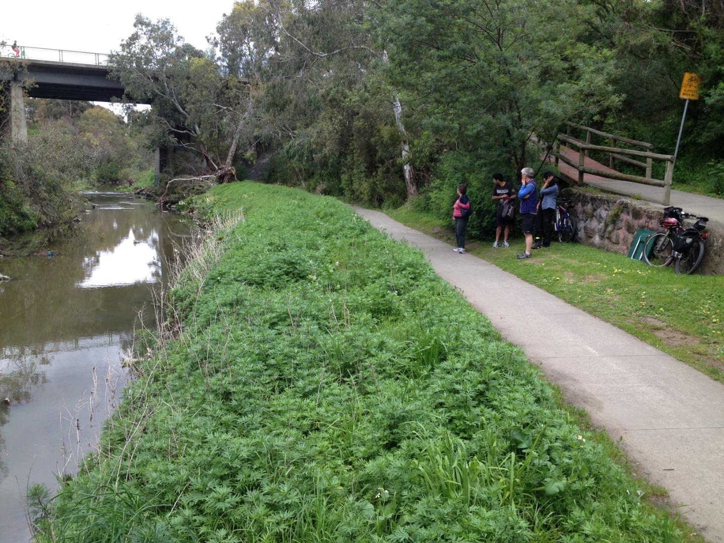
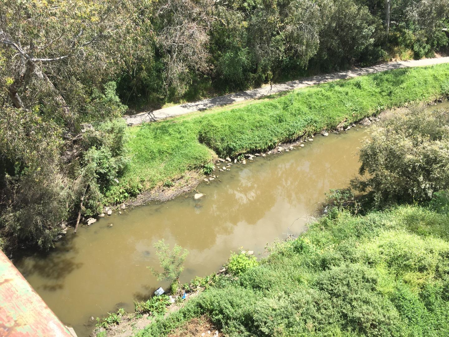
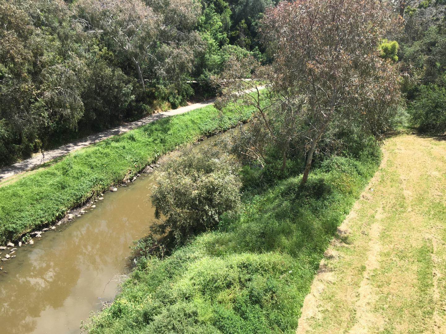
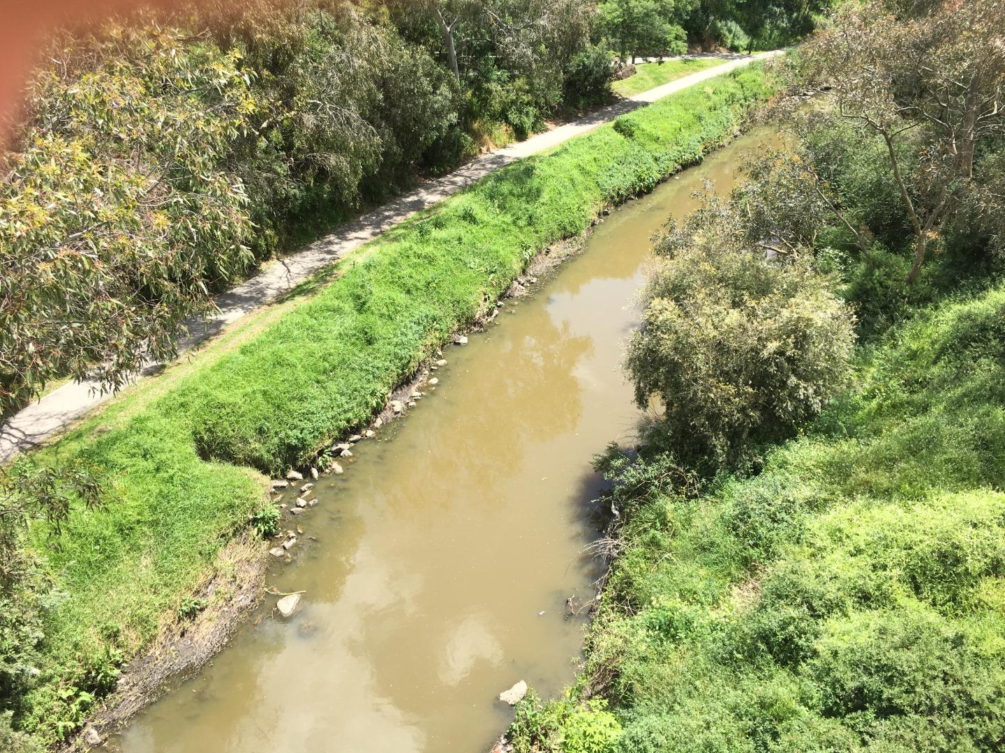
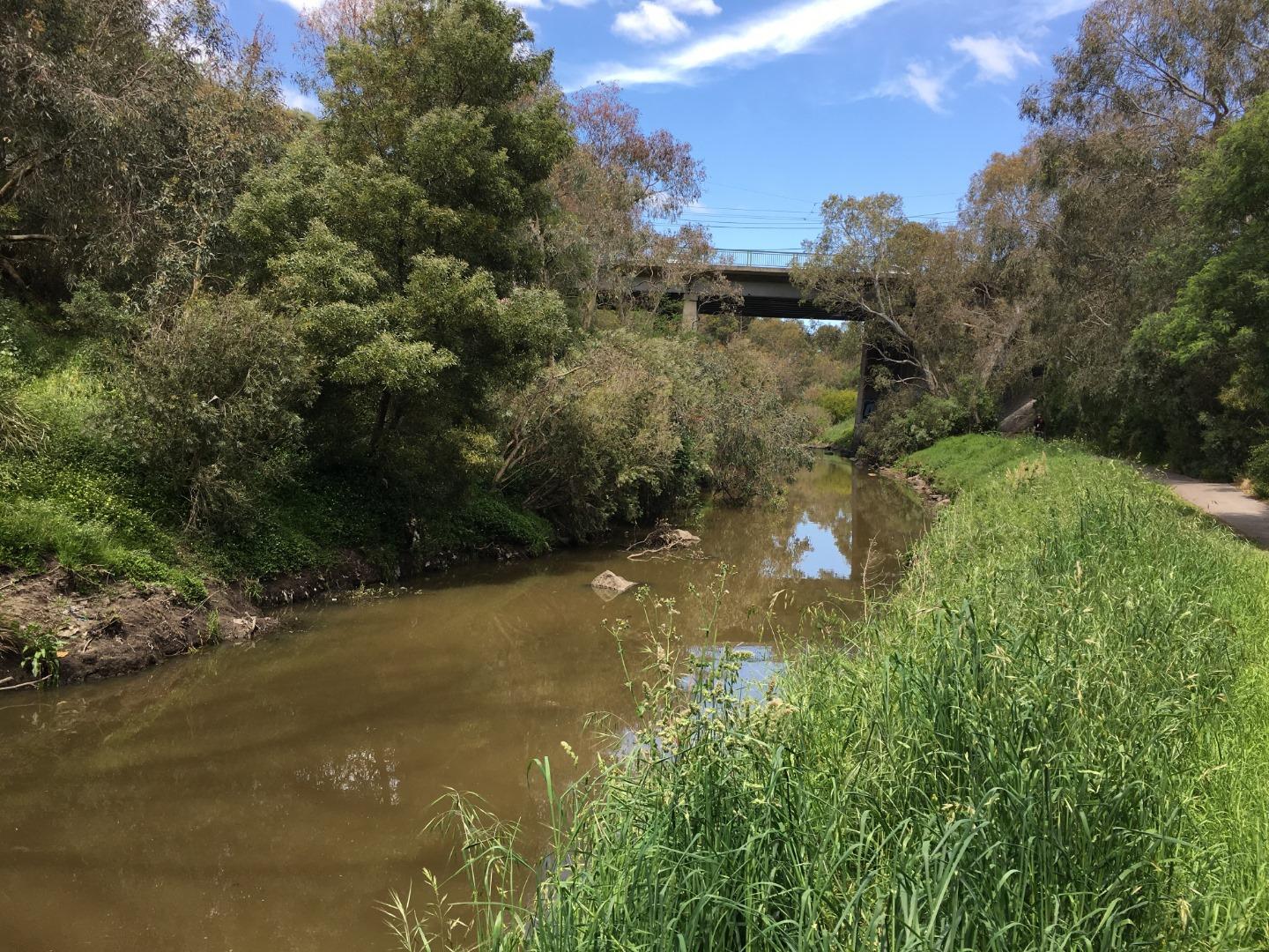
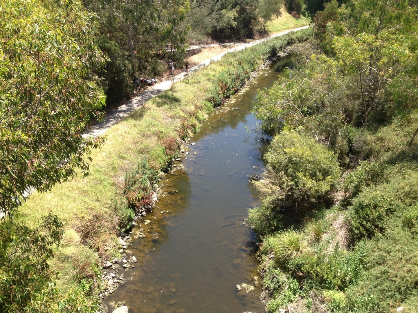
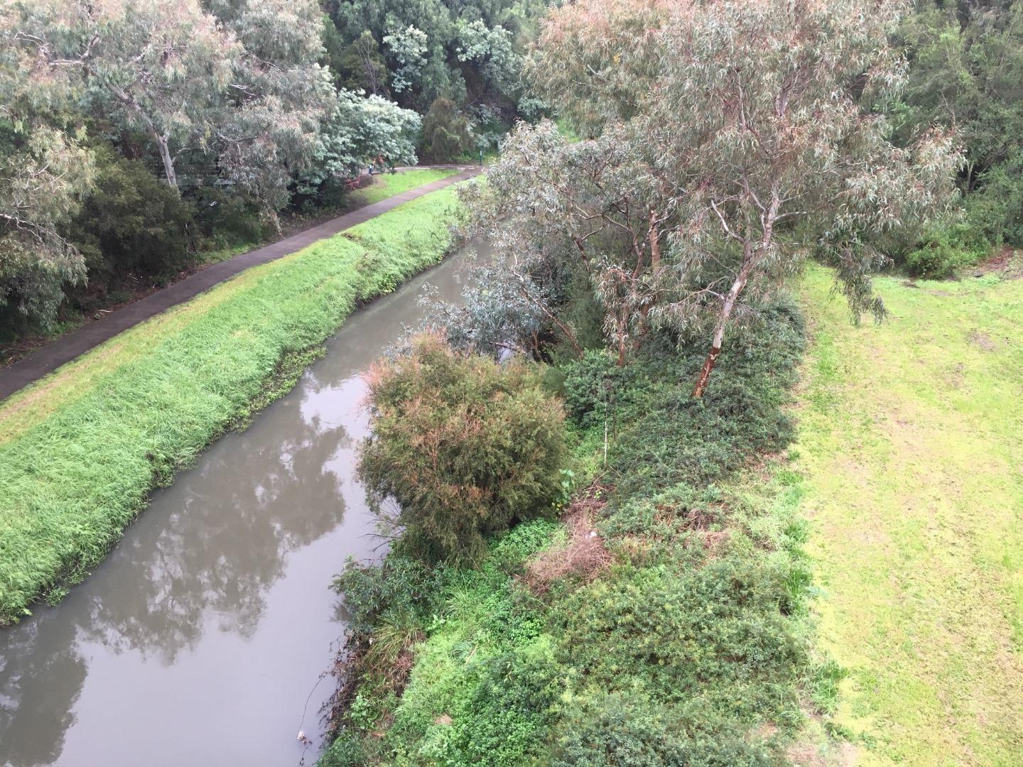
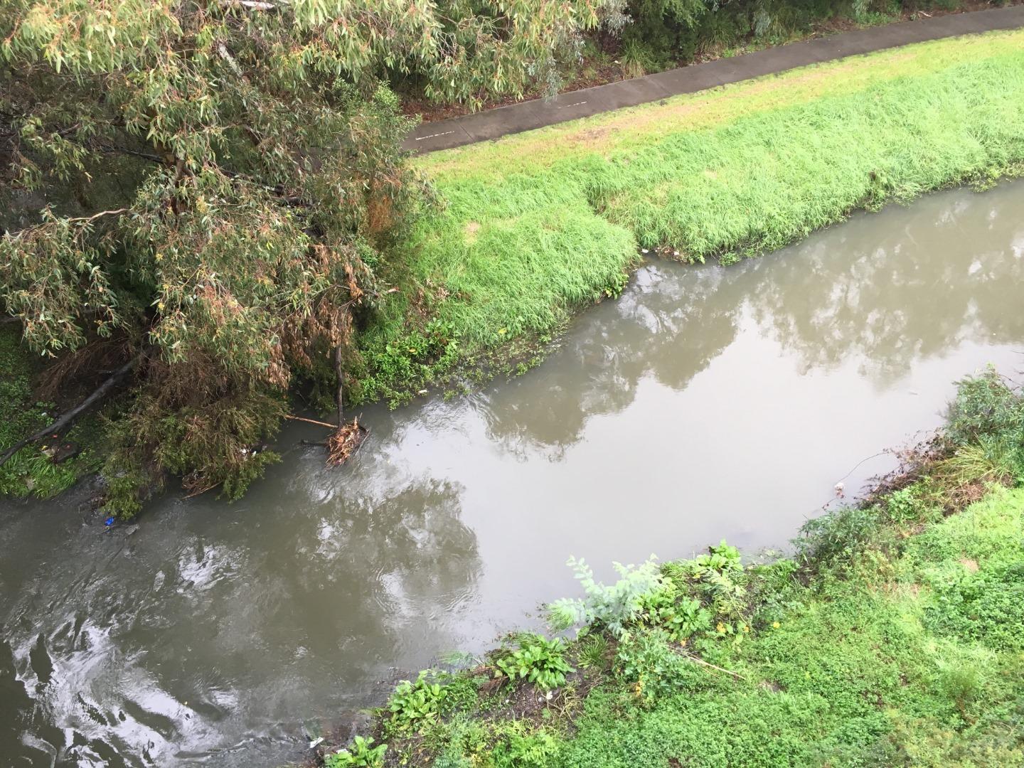
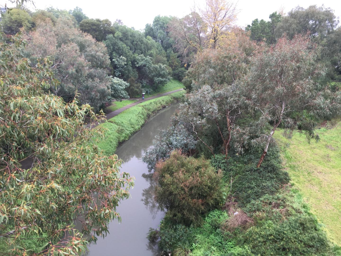
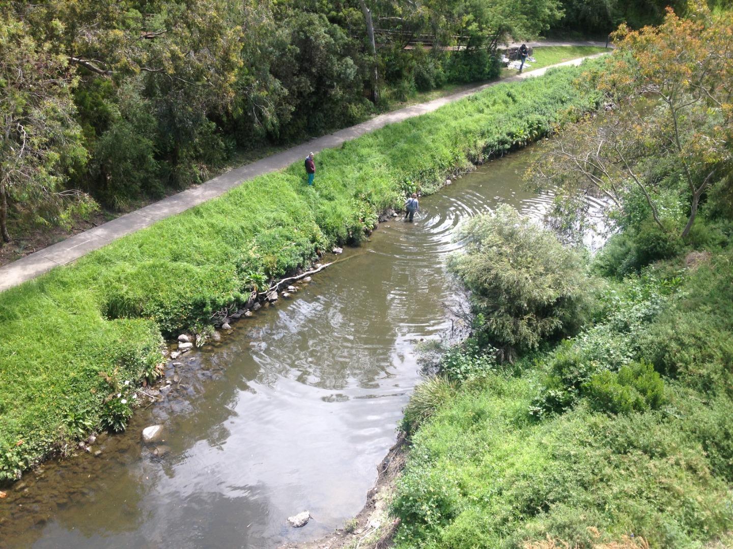
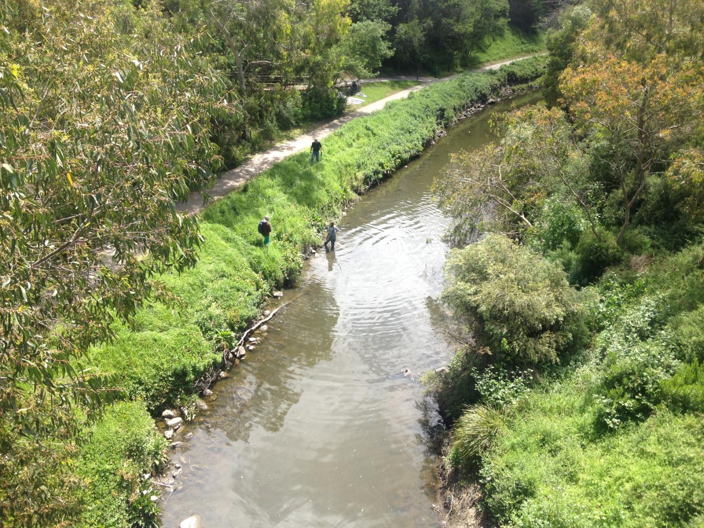
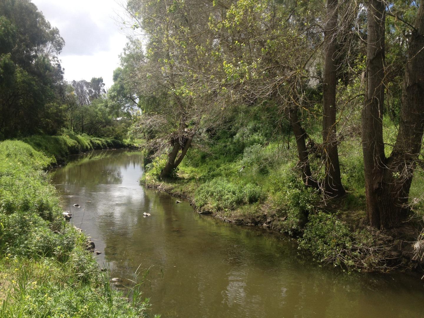
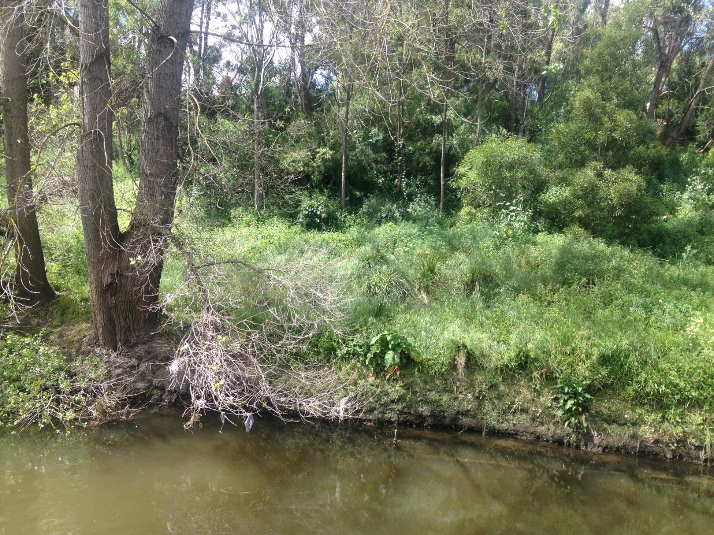
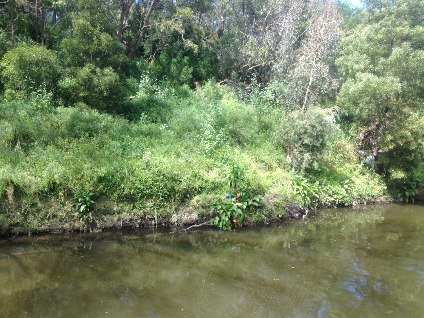
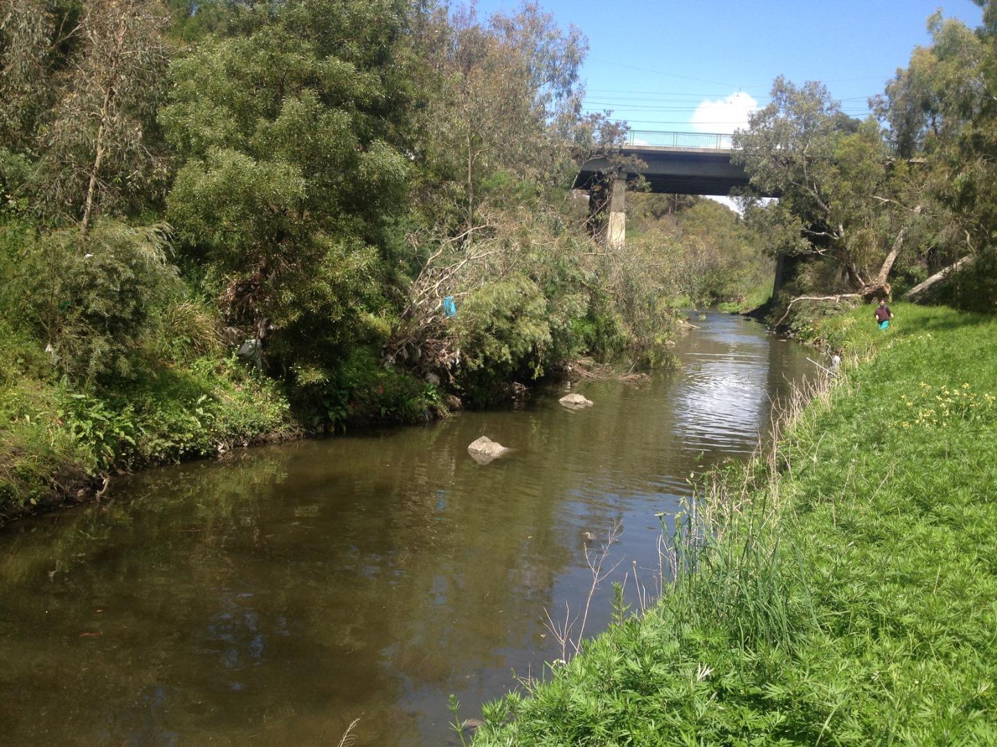
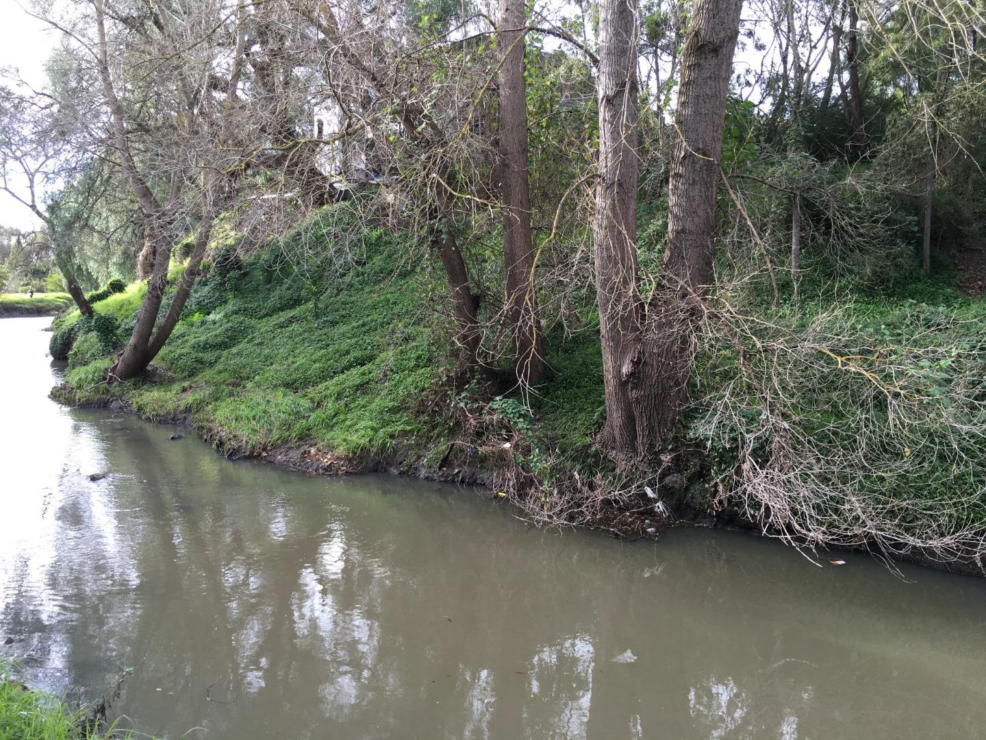
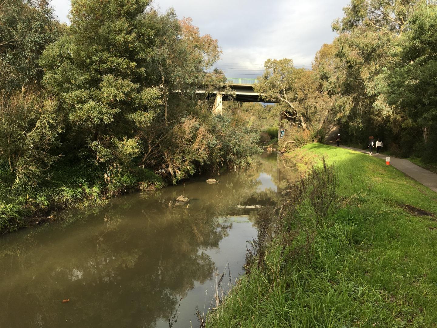
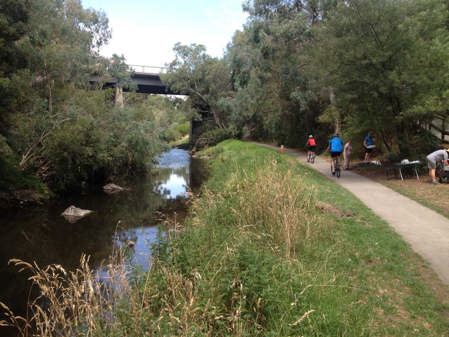
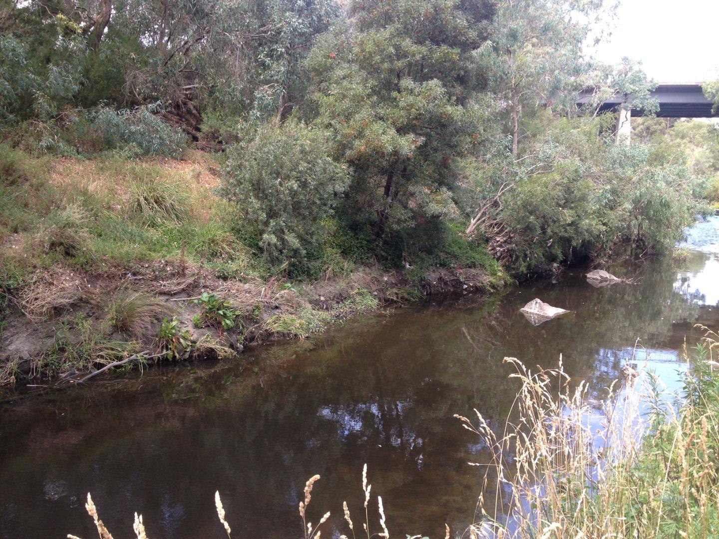
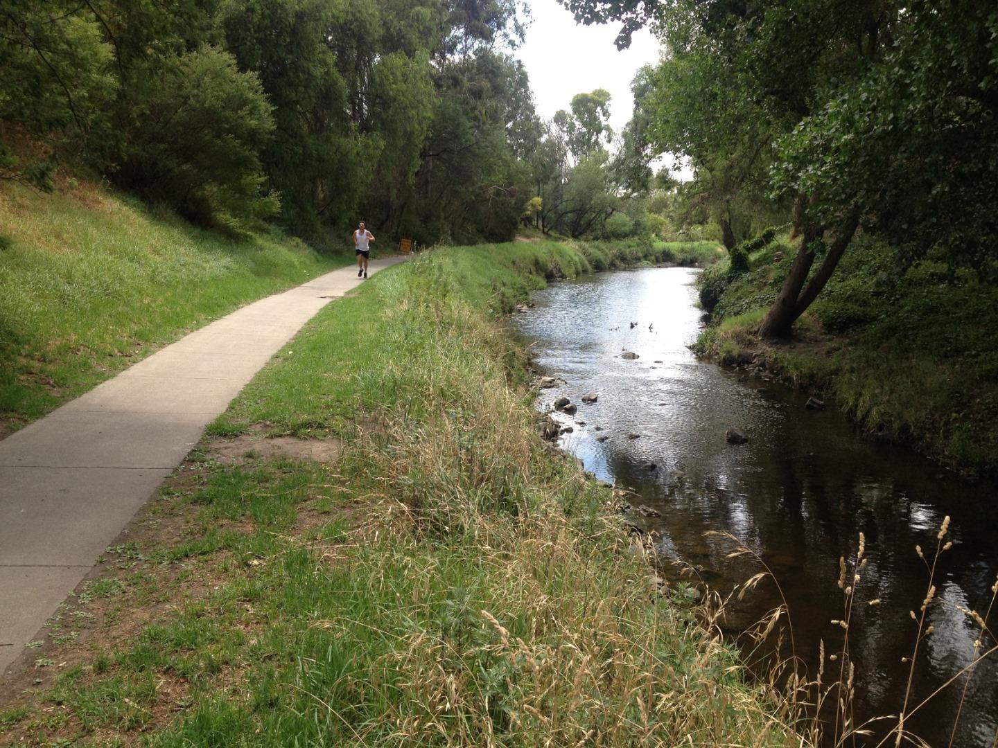
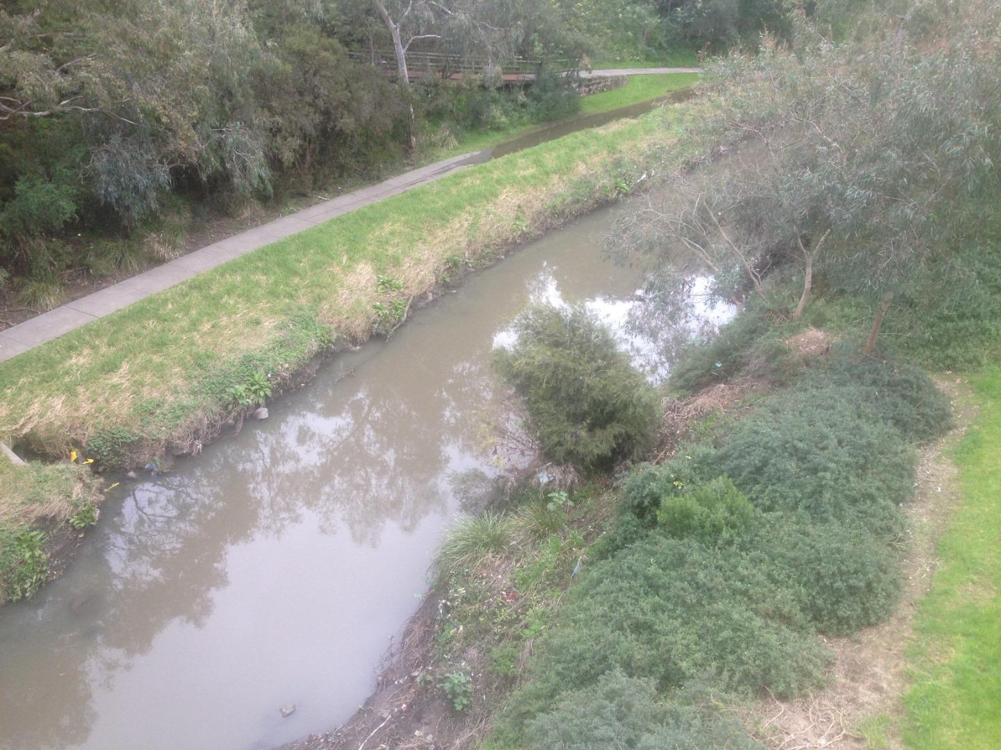
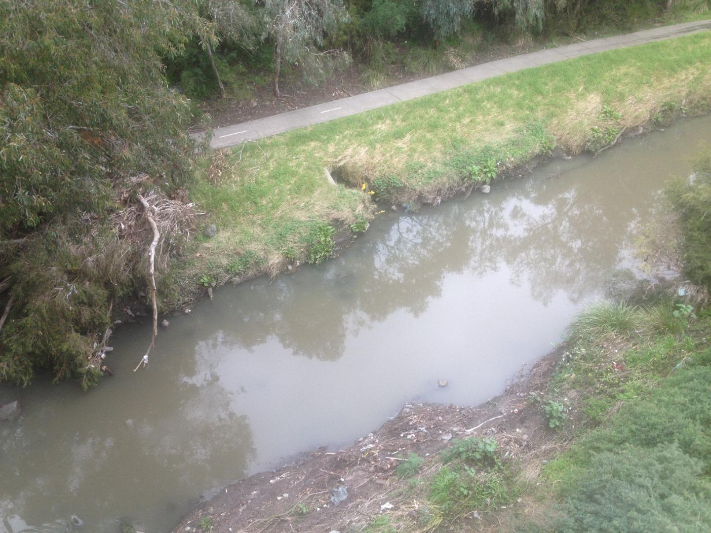
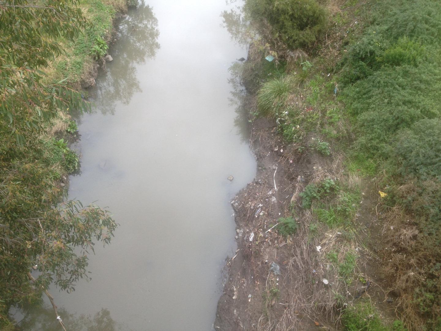
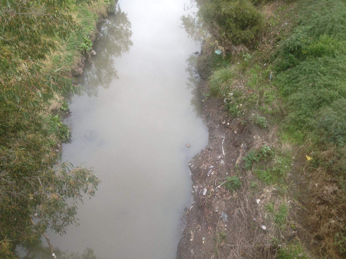
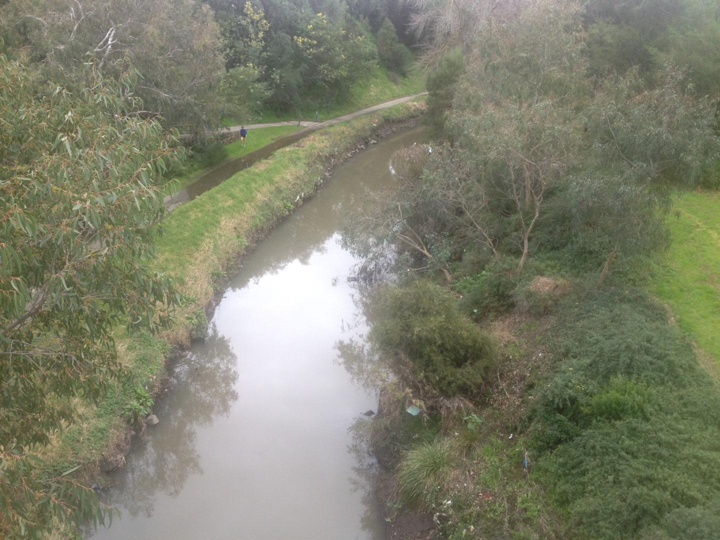
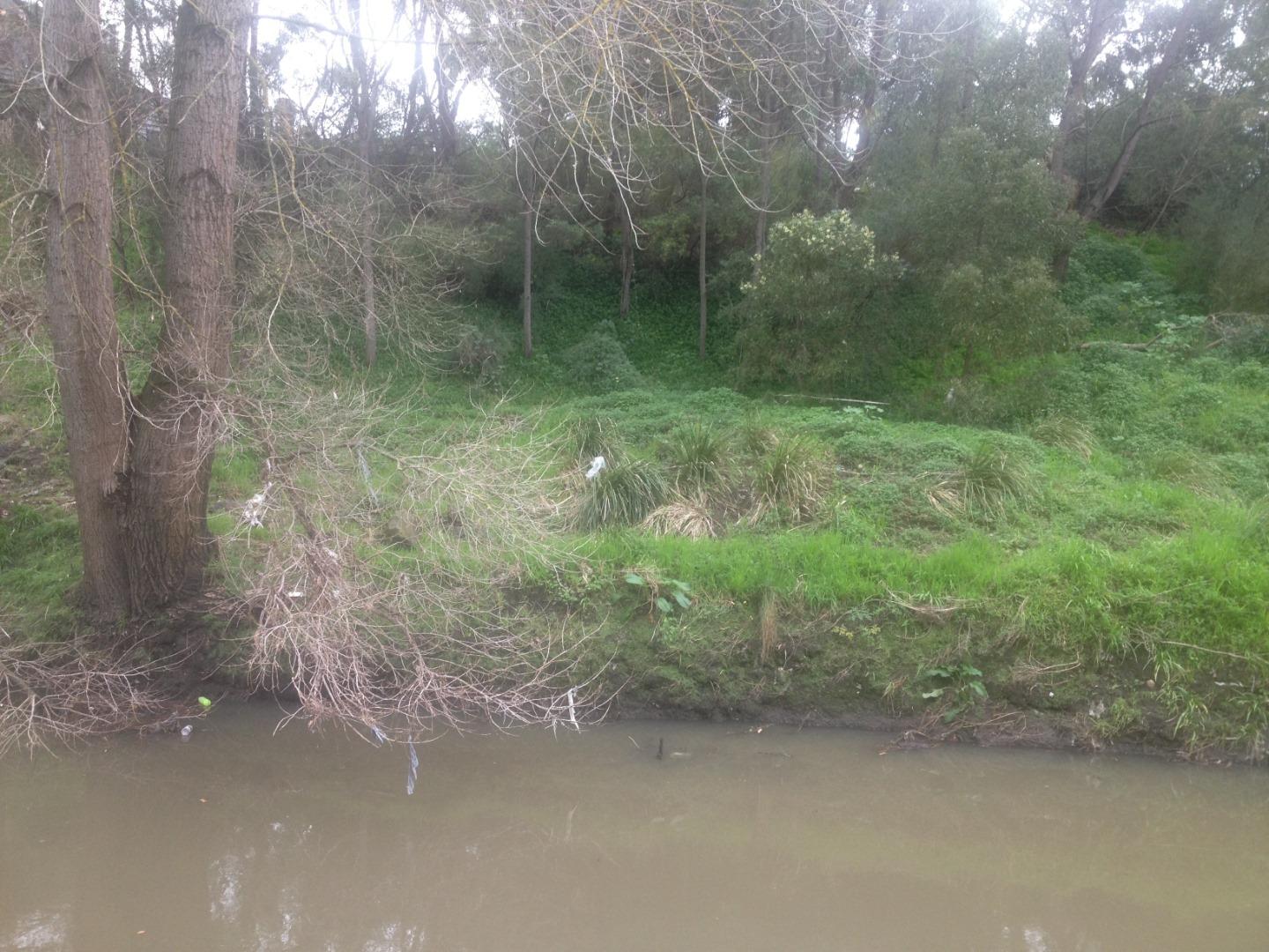
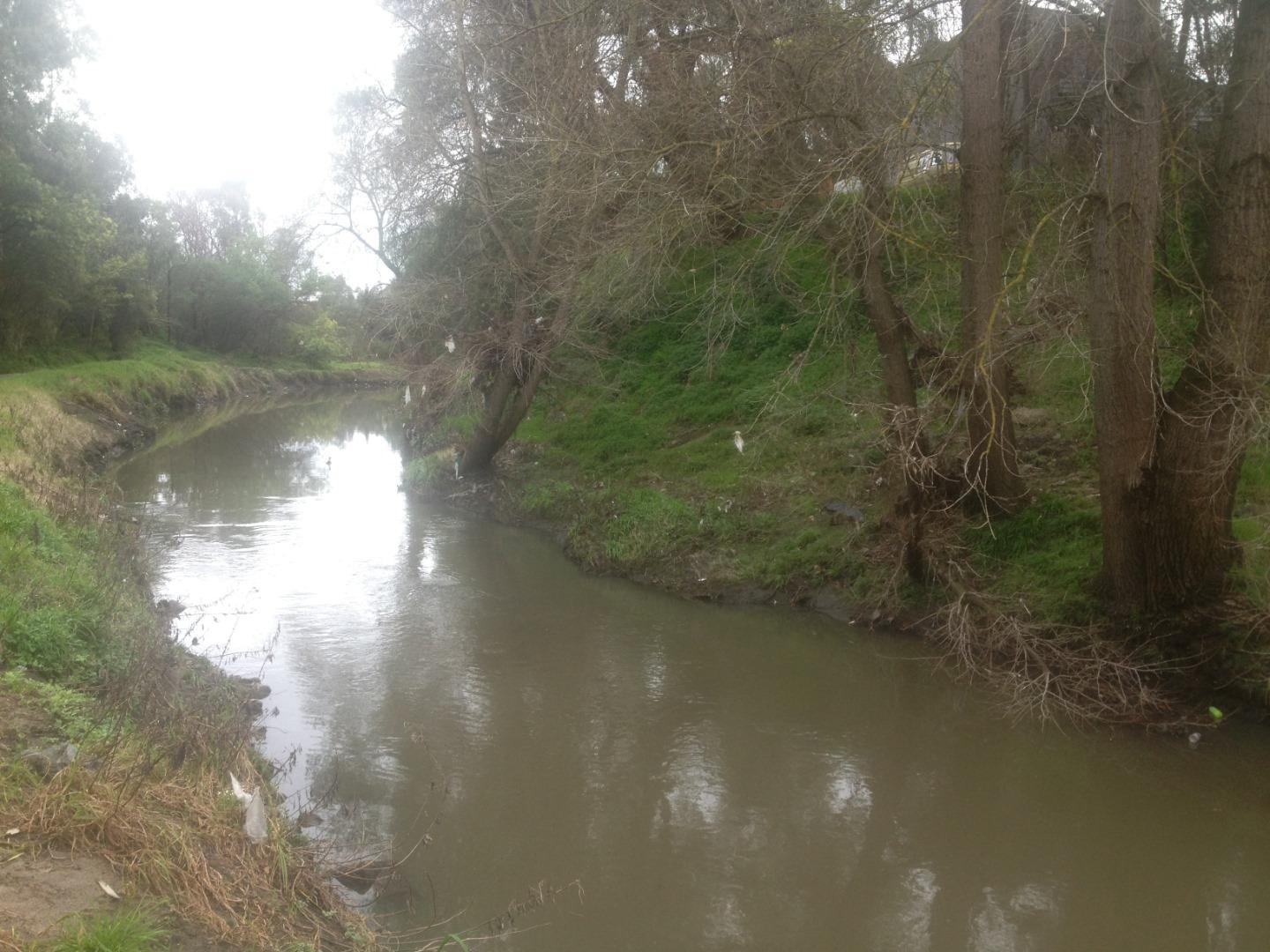
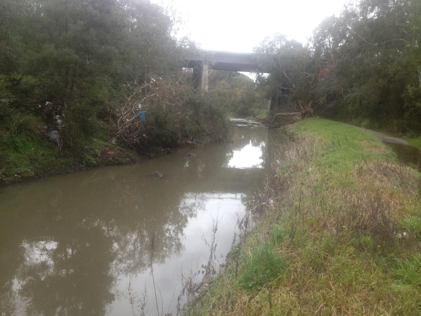
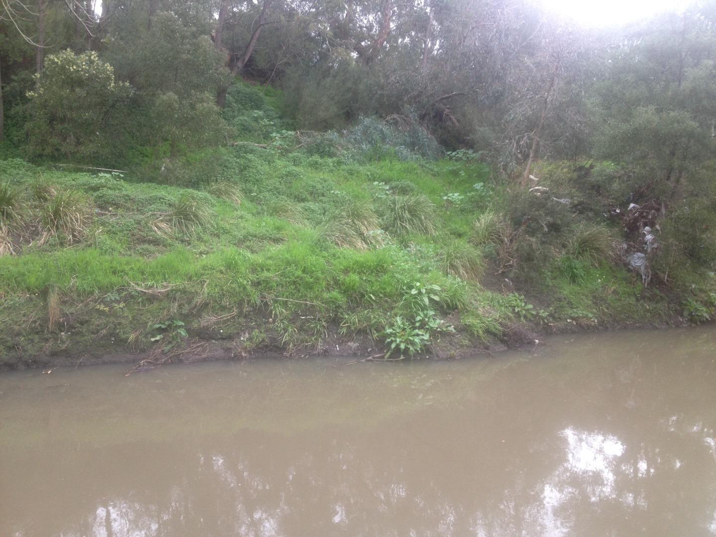
ME_YMR112 Merri Creek, u/s of St Georges Rd Bridge, North Fitzroy
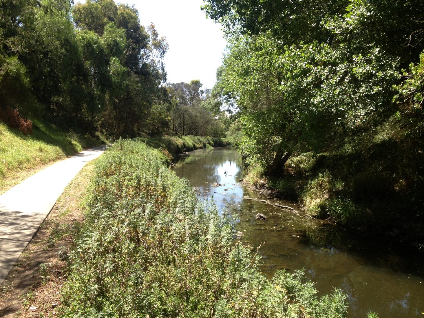
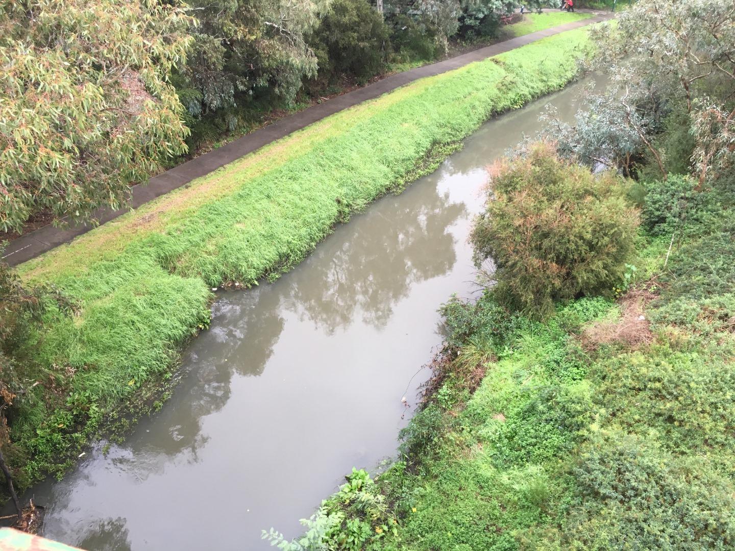
Site details
Overview
| Site code | ME_YMR112 |
|---|---|
| Site name | Merri Creek, u/s of St Georges Rd Bridge, North Fitzroy |
| Status | Active |
| Water Authority | Melbourne |
| Basin | Yarra River |
| Catchment | Yarra River |
| Sub catchment | Merri Creek |
| Reach | |
| Water type | Creek |
| Council | Yarra City Council |
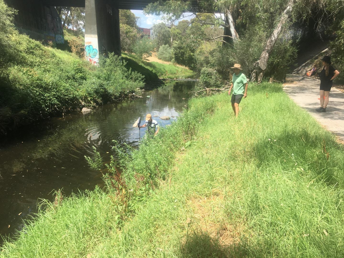
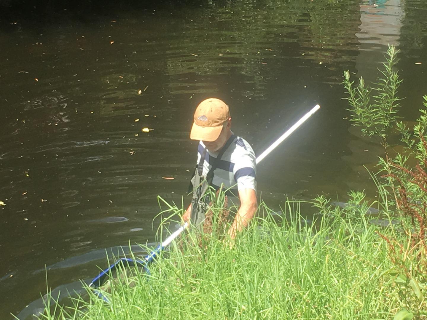
| History | View all 199 site visits 14-04-2003 - 07-04-2024 |
| Monitoring organisations |
Site visits
 Loading chart
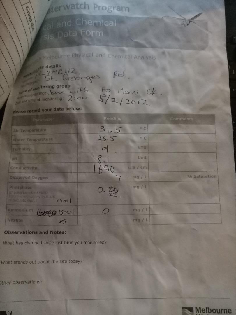
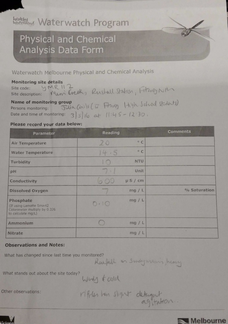
| Date | Ammon-Nit mg/L NH3-N | N mg/L NH4+ | D.O. % | D.O mg/L | EC µS/cm | FrP mg/L P | Nitrate-Nit mg/L N | pH pH Units | rP mg/L P | Air ° C | Water ° C | Turb NTU |
|---|---|---|---|---|---|---|---|---|---|---|---|---|
| 01-05-2022 | 0 | 95.18 | 9 | 390 | 7.3 | 0.12 | 20.6 | 18 | 29 | |||
| 05-06-2022 | 0.3 | 74.75 | 8 | 760 | 7.7 | 0.1 | 13.5 | 12.2 | 11 | |||
| 03-07-2022 | 0.02 | 82.84 | 9 | 1060 | 8.1 | 0.07 | 14.2 | 11.5 | 9 | |||
| 07-08-2022 | 0 | 75.93 | 8 | 720 | 7.9 | 0.15 | 16.9 | 12.9 | 42 | |||
| 04-09-2022 | 0 | 95.28 | 10 | 540 | 7.8 | 0.1 | 15 | 13.1 | 100 | |||
| 02-10-2022 | 0 | 63.14 | 6 | 770 | 8 | 0.03 | 21.1 | 17.7 | 35 | |||
| 06-11-2022 | 0 | 86.29 | 7 | 720 | 7.6 | 29.3 | 25.9 | 60 | ||||
| 04-12-2022 | 0 | 86.41 | 7 | 1160 | 8 | 0.18 | 34.7 | 25.9 | 22 | |||
| 08-01-2023 | 0 | 123.01 | 10 | 1220 | 8.4 | 0.02 | 33.1 | 25.7 | 60 | |||
| 05-02-2023 | 0 | 97.48 | 9 | 900 | 7.9 | 0.07 | 21.1 | 19.1 | 9 | |||
| 05-03-2023 | 0 | 118.66 | 10 | 1550 | 8.2 | 0.03 | 36.5 | 23.7 | 13 | |||
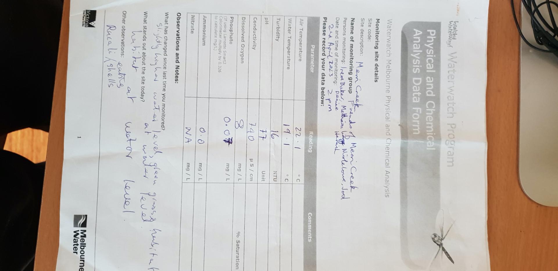
| 02-04-2023 | 0 | 86.61 | 8 | 740 | 7.7 | 0.07 | 22.1 | 19.1 | 16 | |||
| 07-05-2023 | 0 | 91.81 | 10 | 270 | 7.3 | 0.08 | 11.8 | 11.5 | 38 | |||
| 03-09-2023 | 0 | 87.4 | 9 | 950 | 0.06 | 20 | 13.9 | 9 | ||||
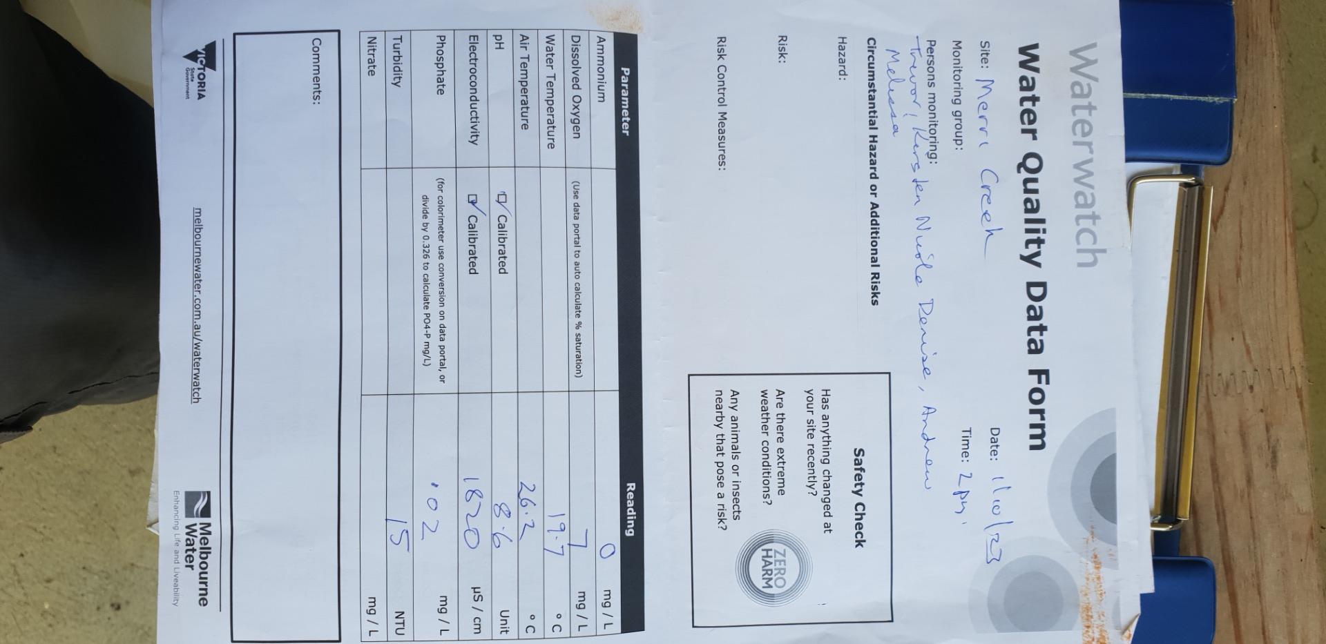
| 01-10-2023 | 0 | 76.95 | 7 | 1820 | 8.6 | 0.02 | 26.2 | 19.7 | 15 | |||
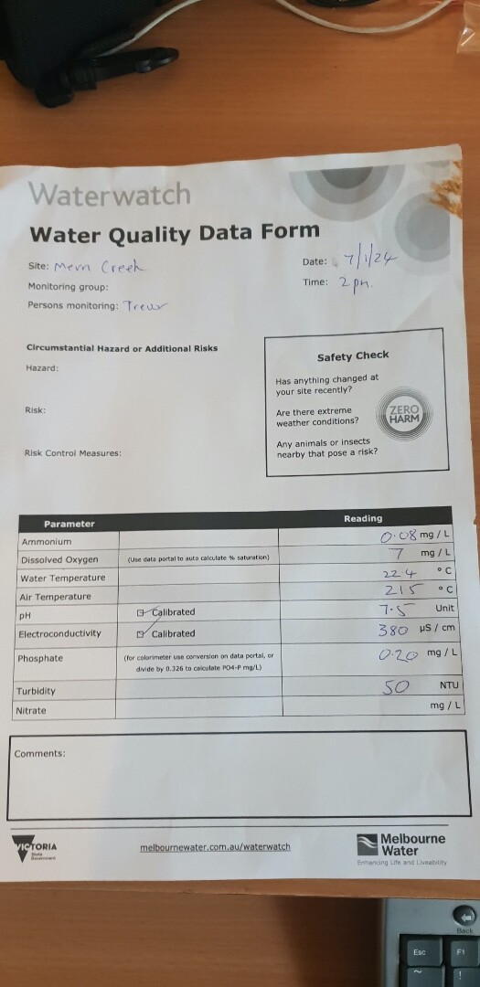
| 07-01-2024 | 0.08 | 80.76 | 7 | 380 | 7.5 | 0.2 | 21.5 | 22.4 | 50 | |||
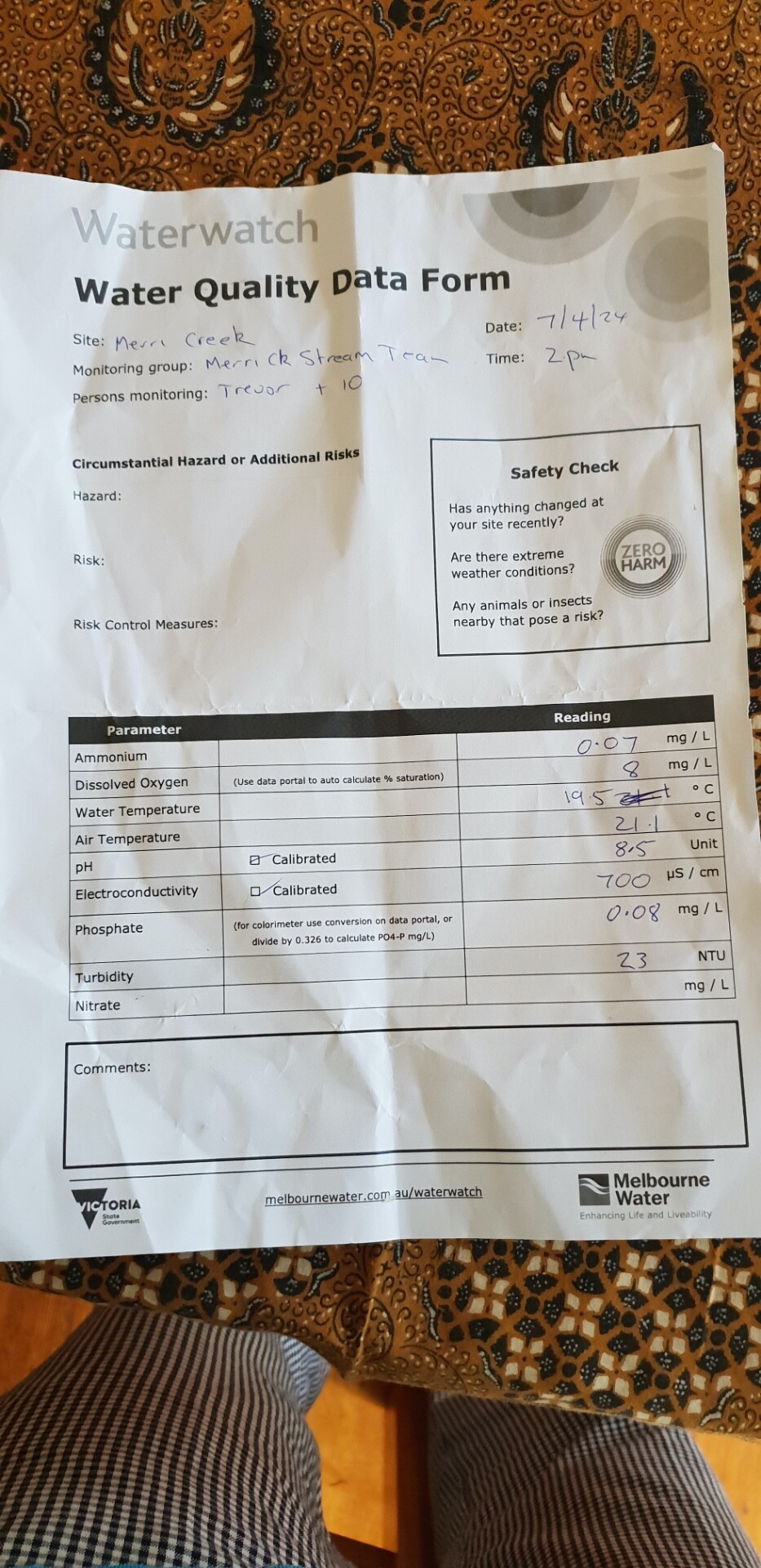
| 07-04-2024 | 0.07 | 87.29 | 8 | 700 | 8.5 | 0.08 | 21.1 | 19.5 | 23 |
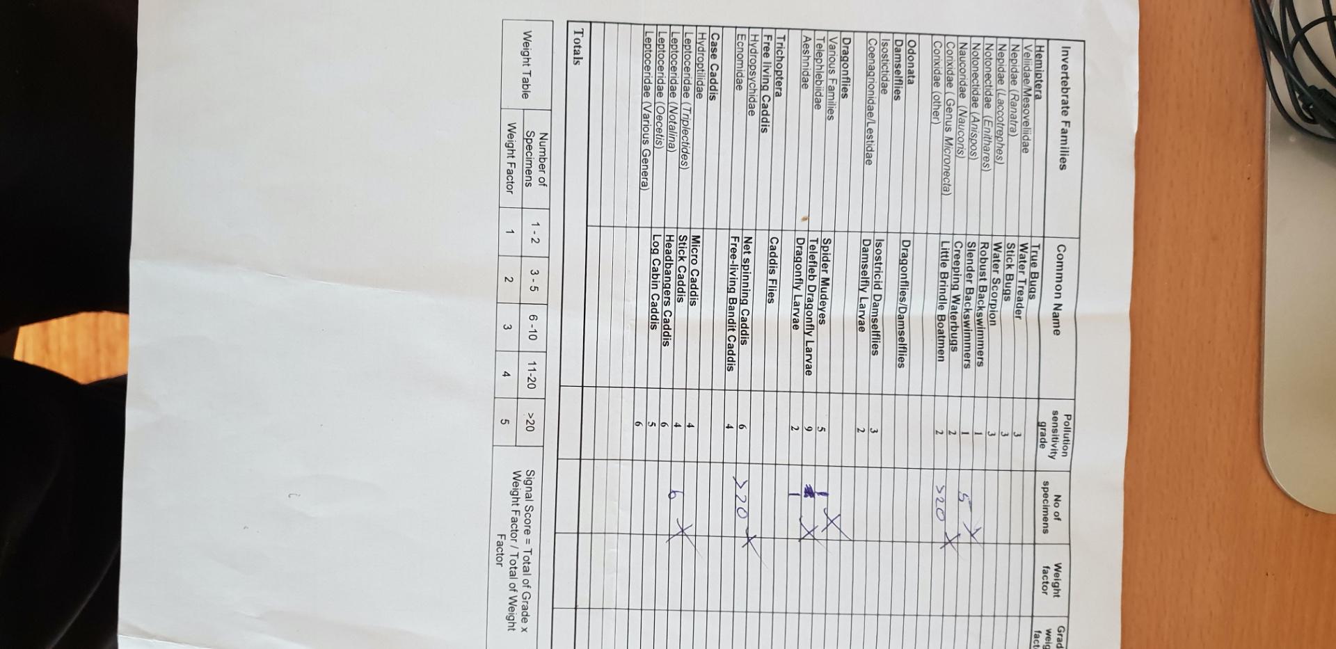
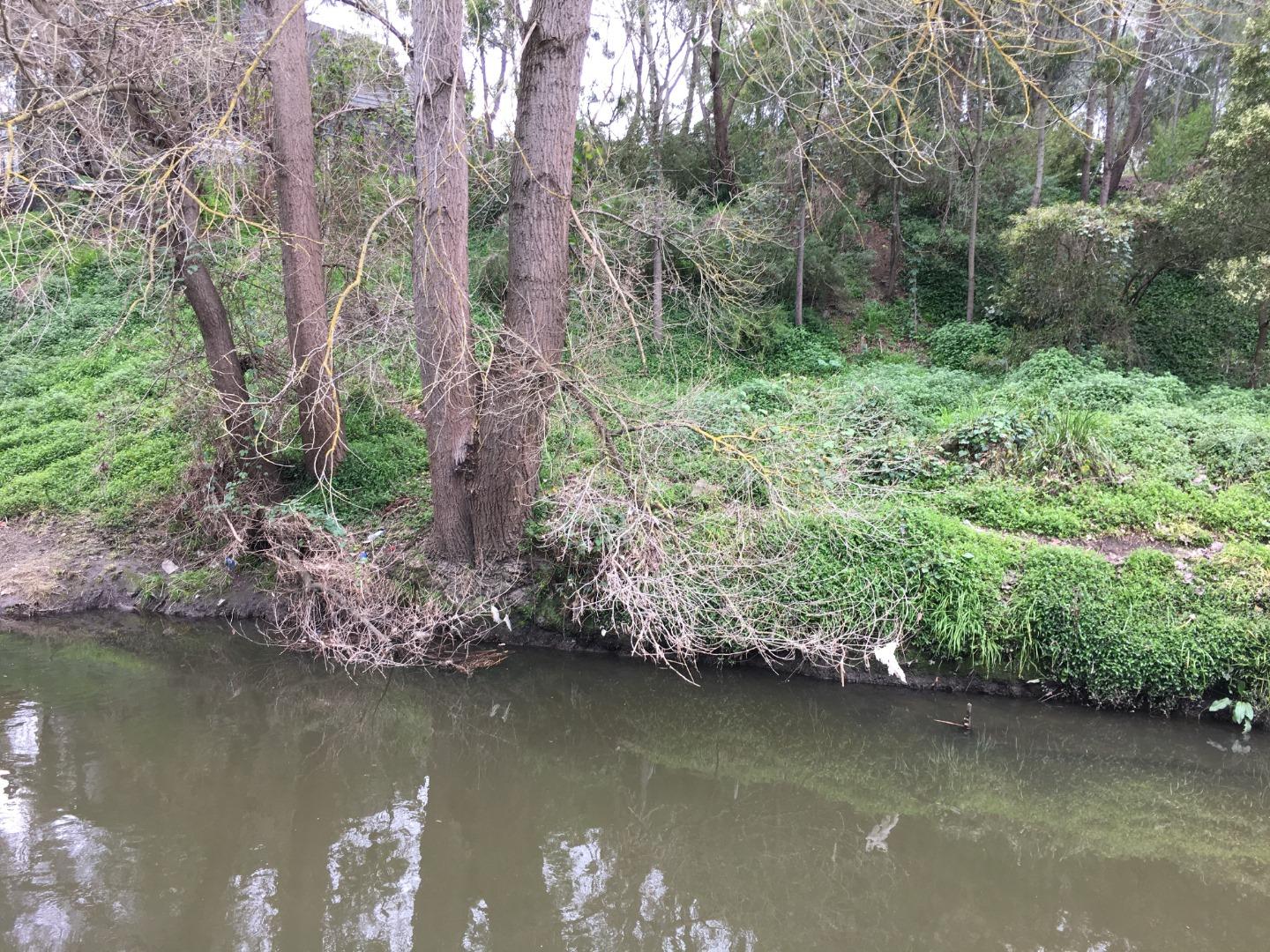
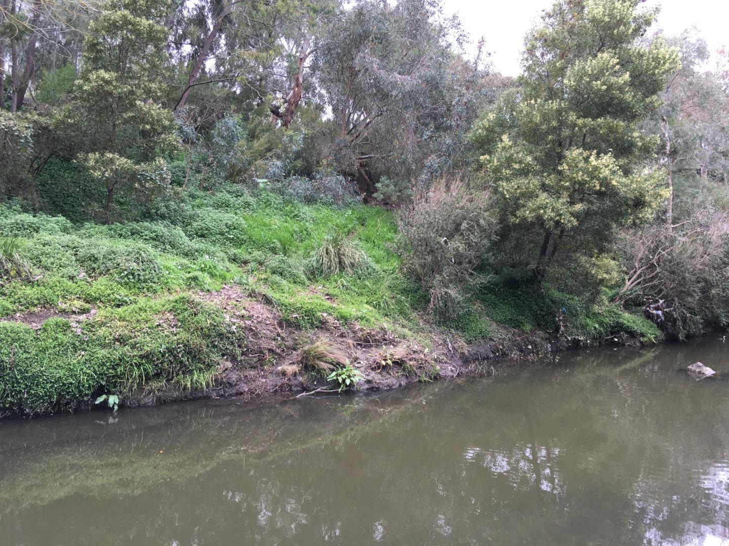
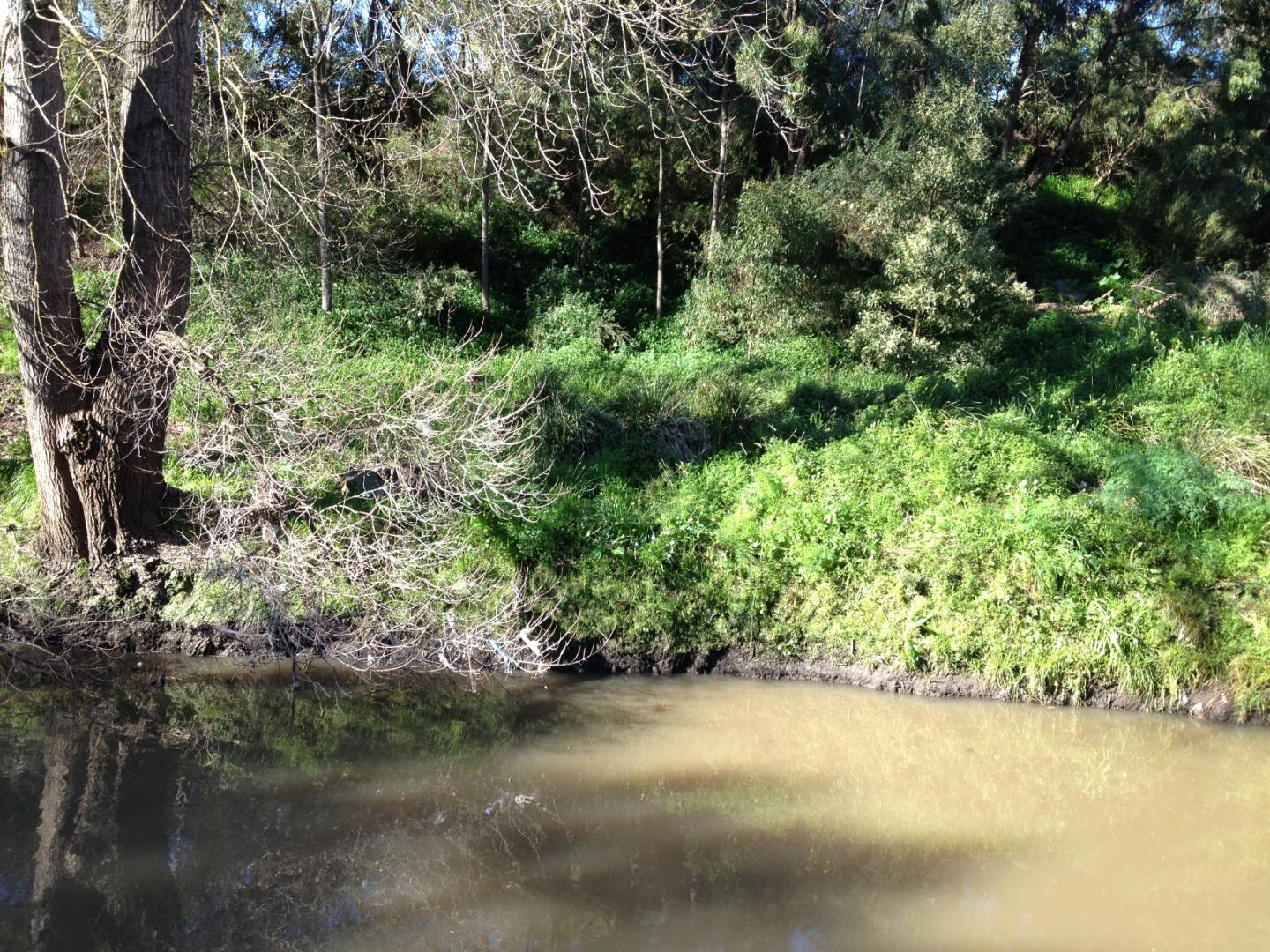
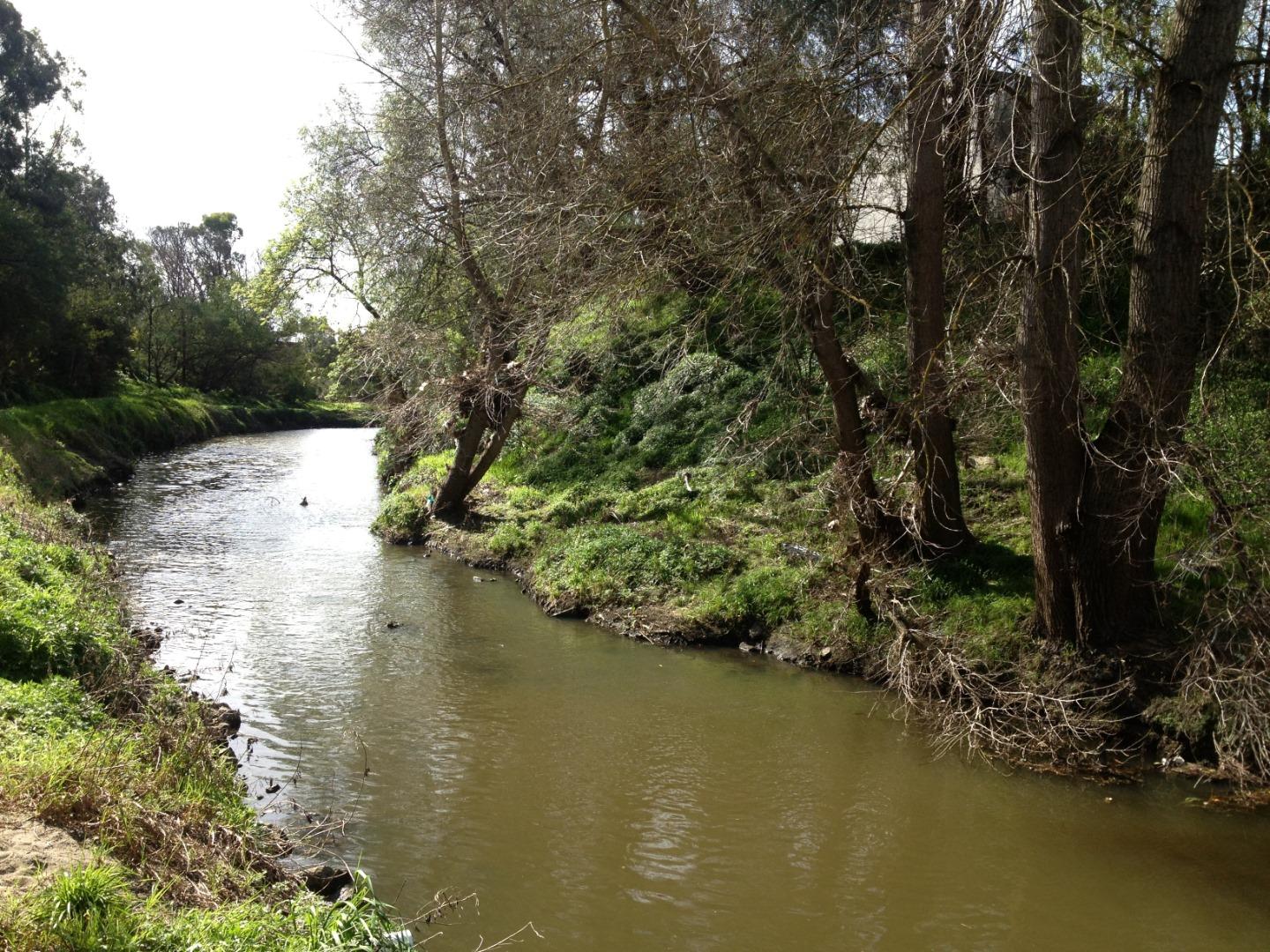
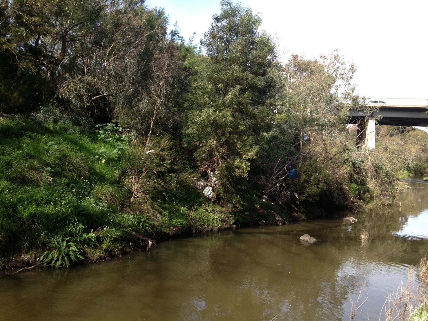
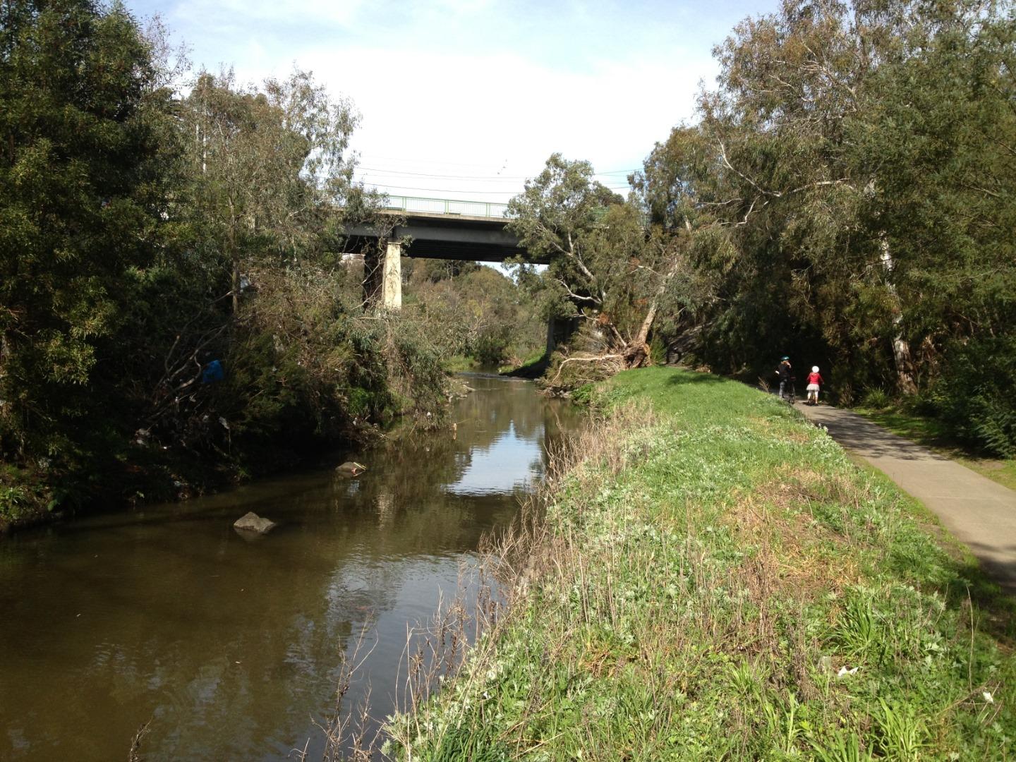
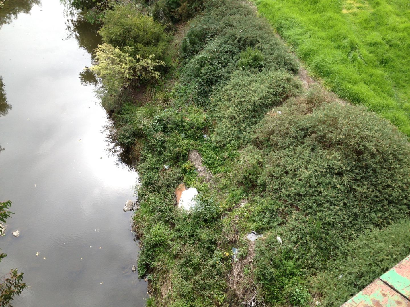
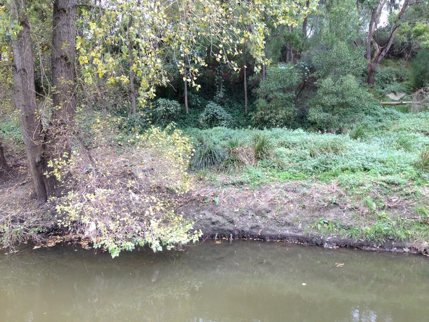
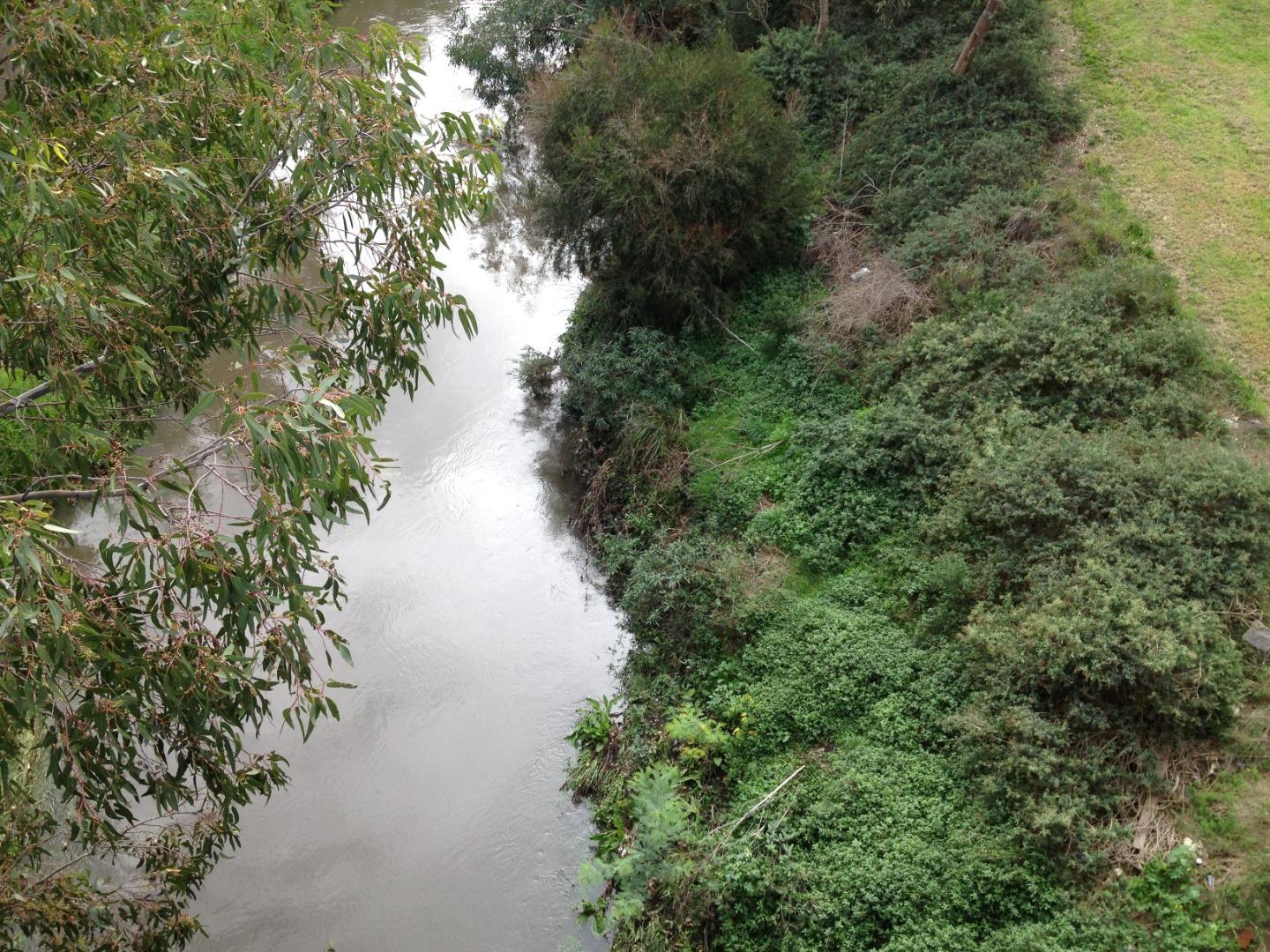
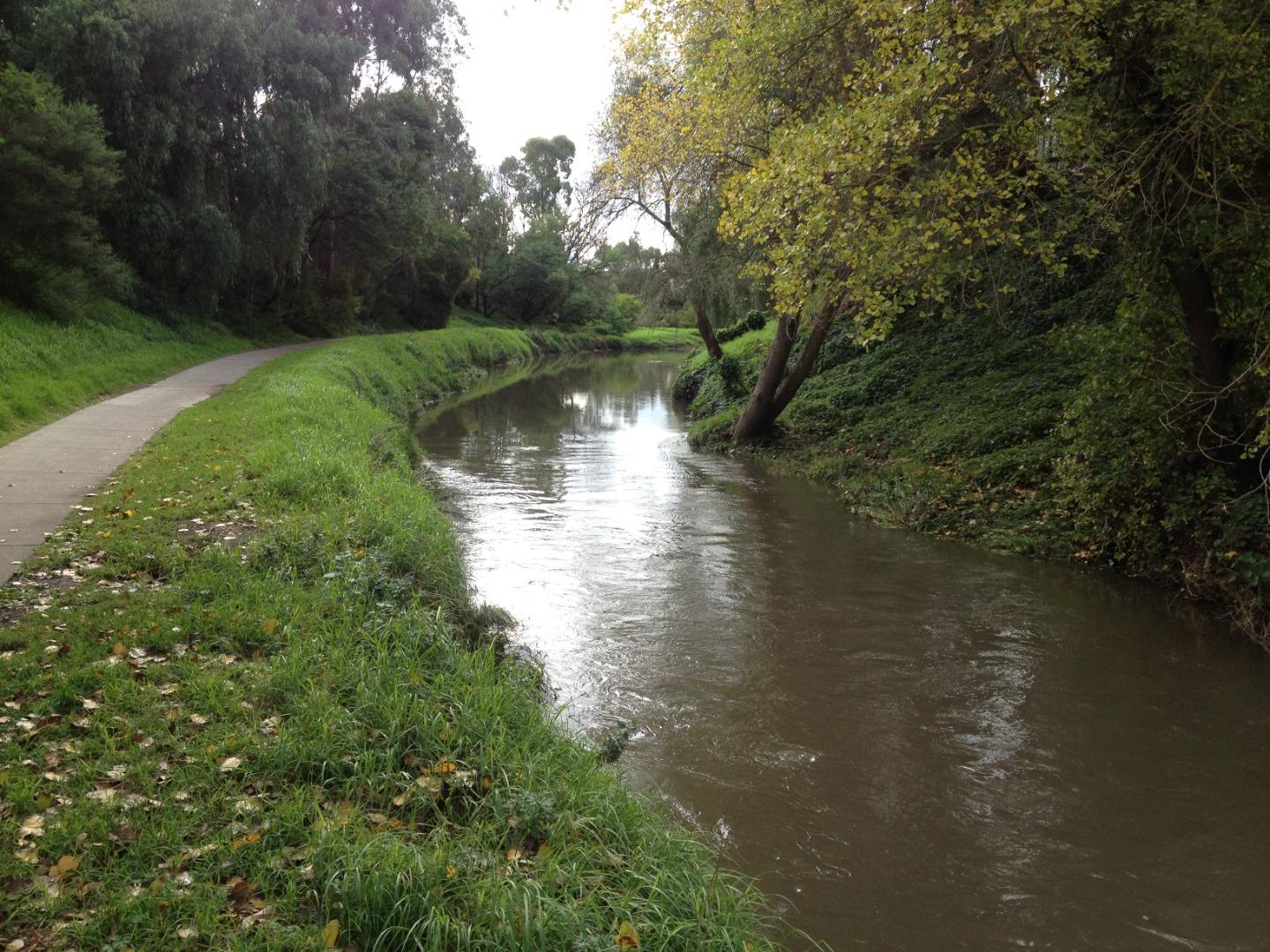
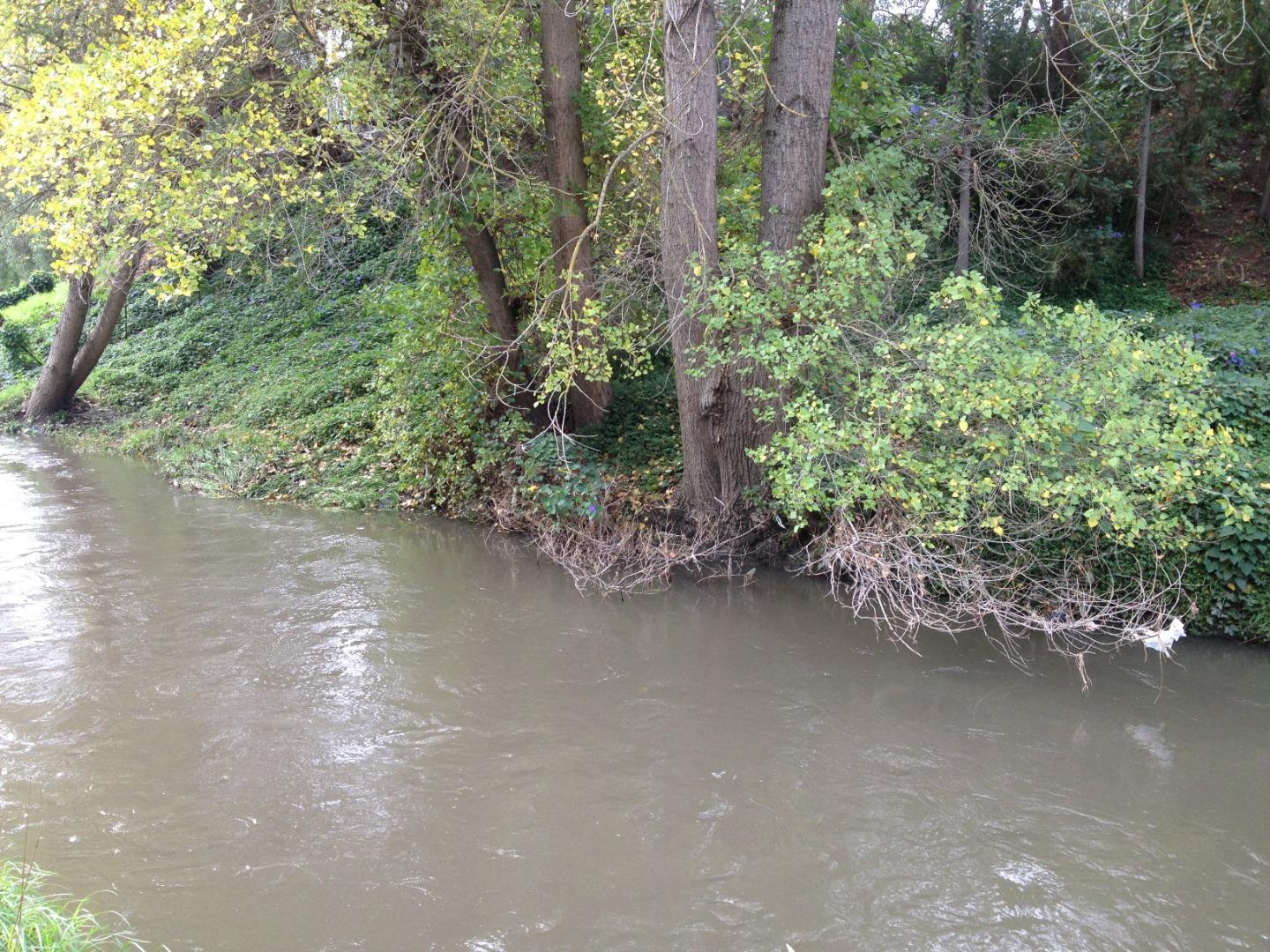
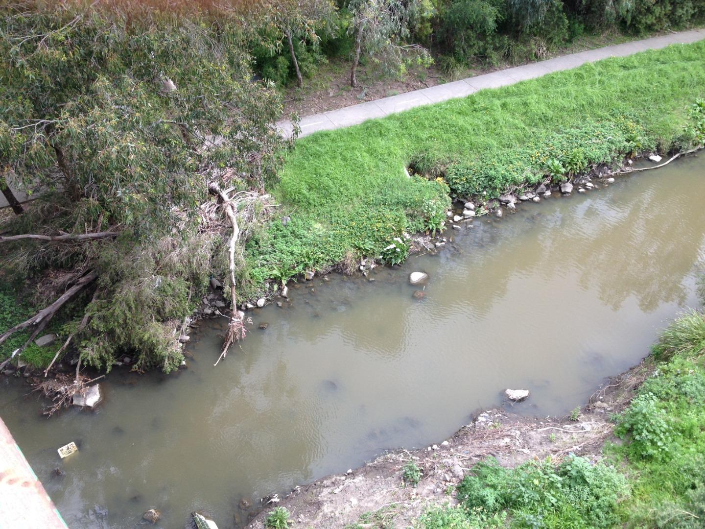
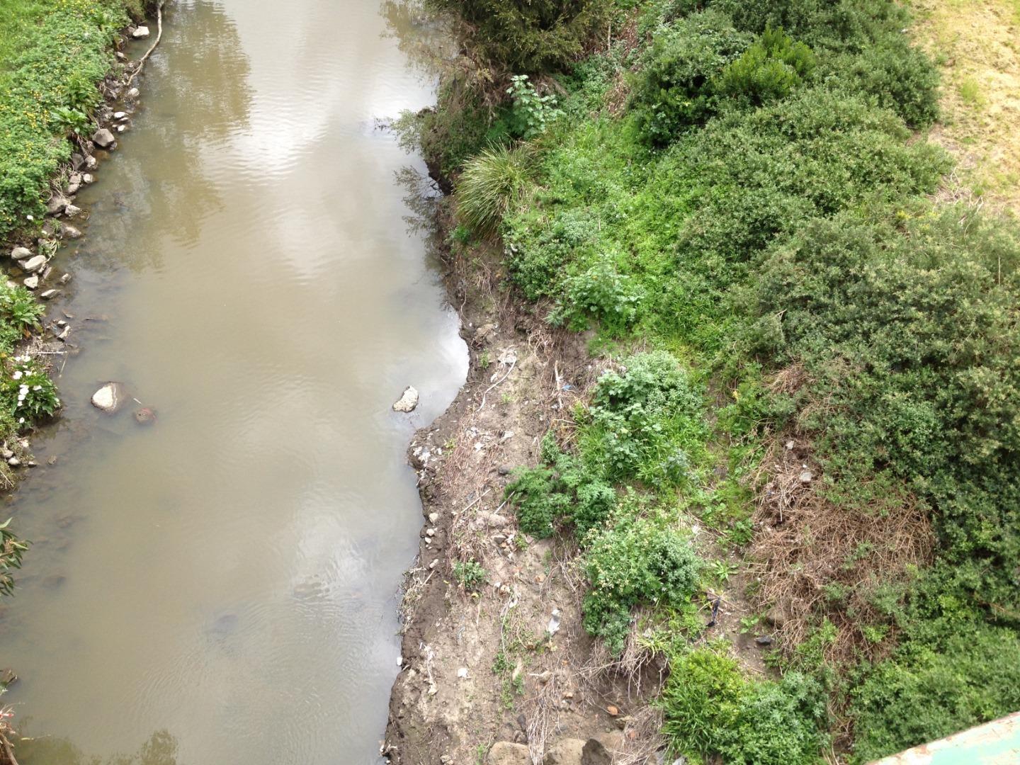
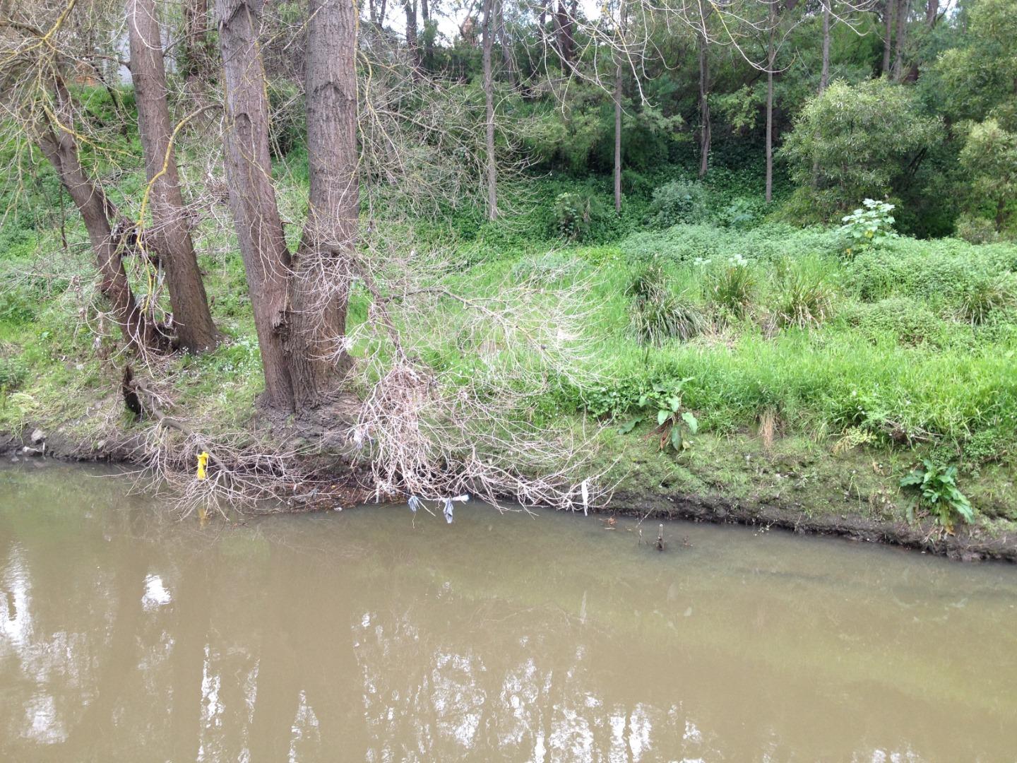
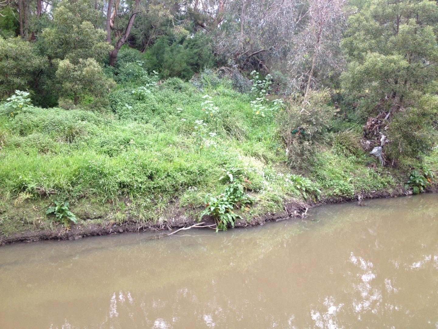
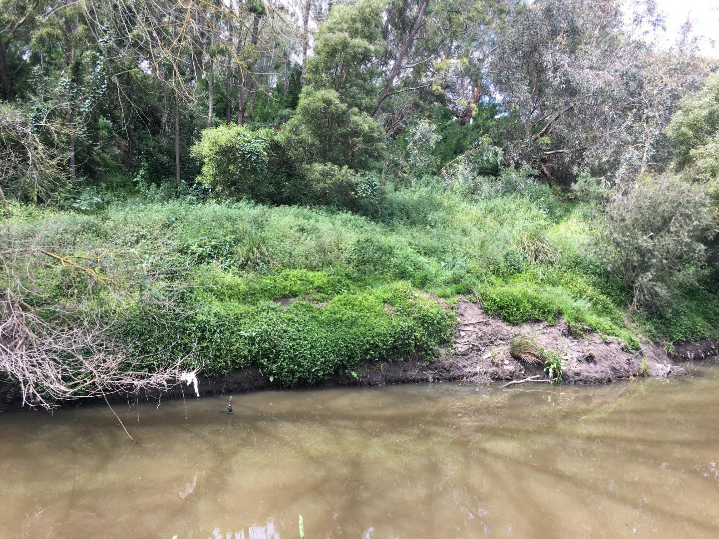
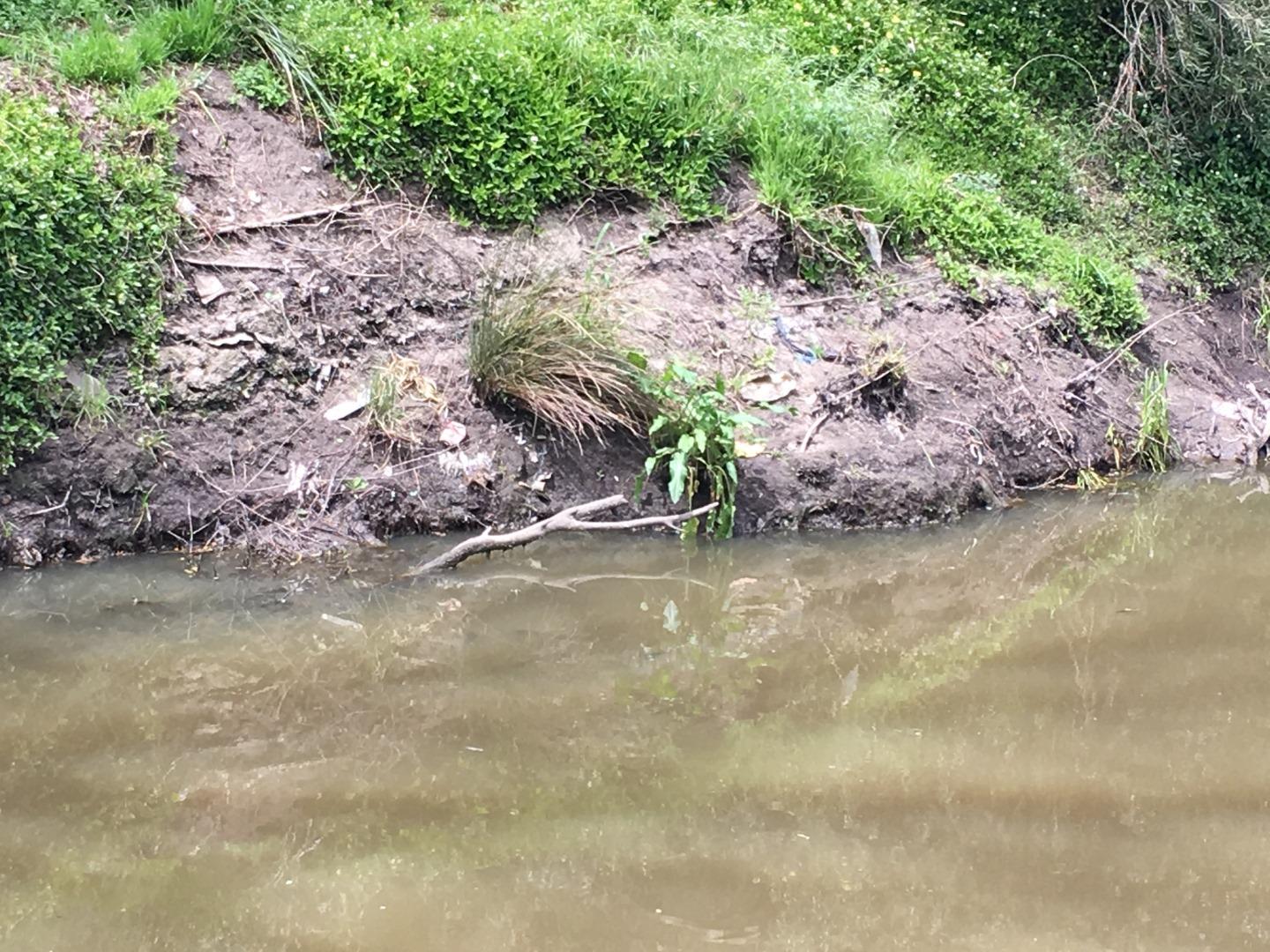
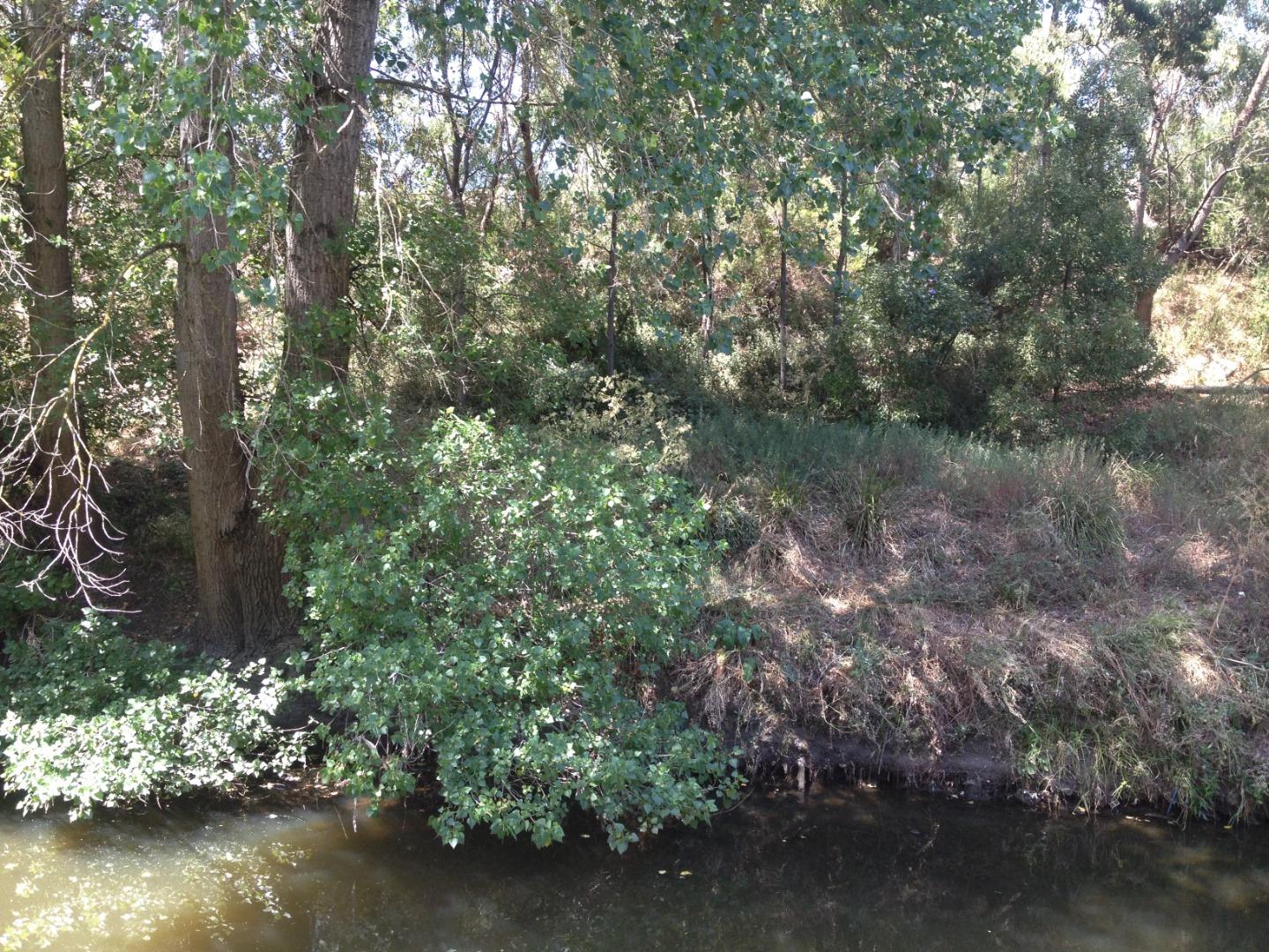
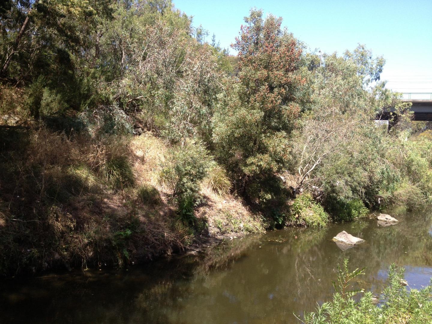
Habitat
| Date | Comment | Bank Erosion Stability | Bank Vegetation | In Stream Cover | Riffles Pools Bends | Verge Vegetation | Overall |
|---|---|---|---|---|---|---|---|
| 04-03-2012 | Fair 3 | Fair 6 | Poor 4 | Poor 2 | Poor 4 | Poor 19 | |
| 06-12-2009 | N/A 0 |


All content, files, data and images provided by the Waterwatch Data Portal and Gallery are subject to a Creative Commons Attribution License
Content is made available to be used in any way, and should always attribute Waterwatch and www.vic.waterwatch.org.au
.png)