Waterwatch Data Portal
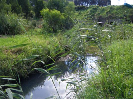
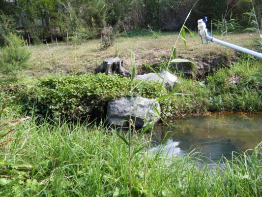
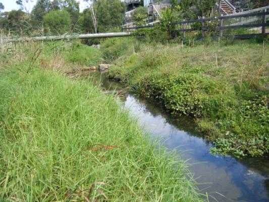
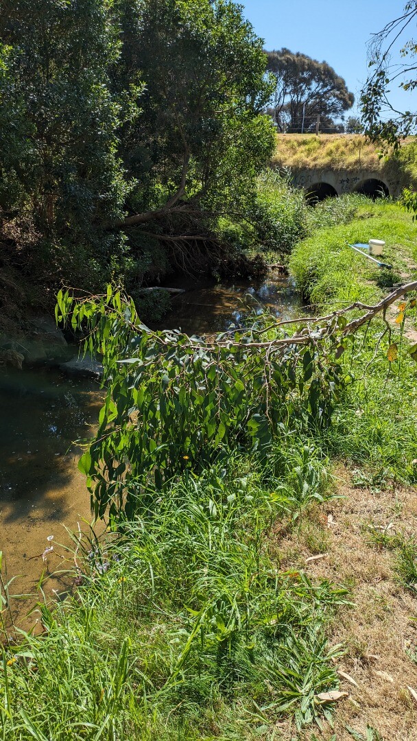
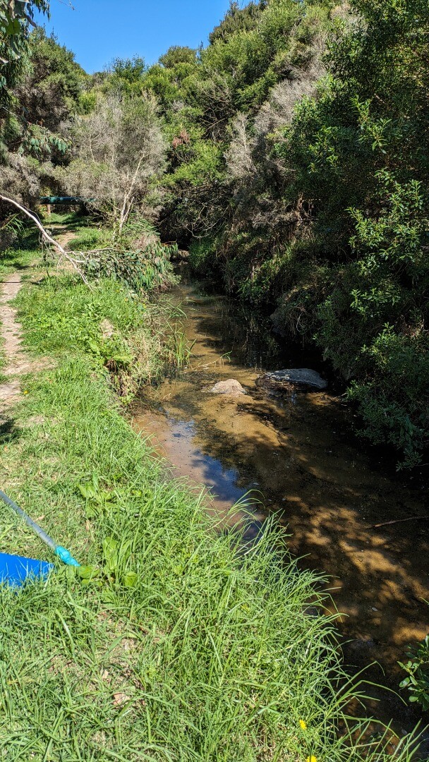
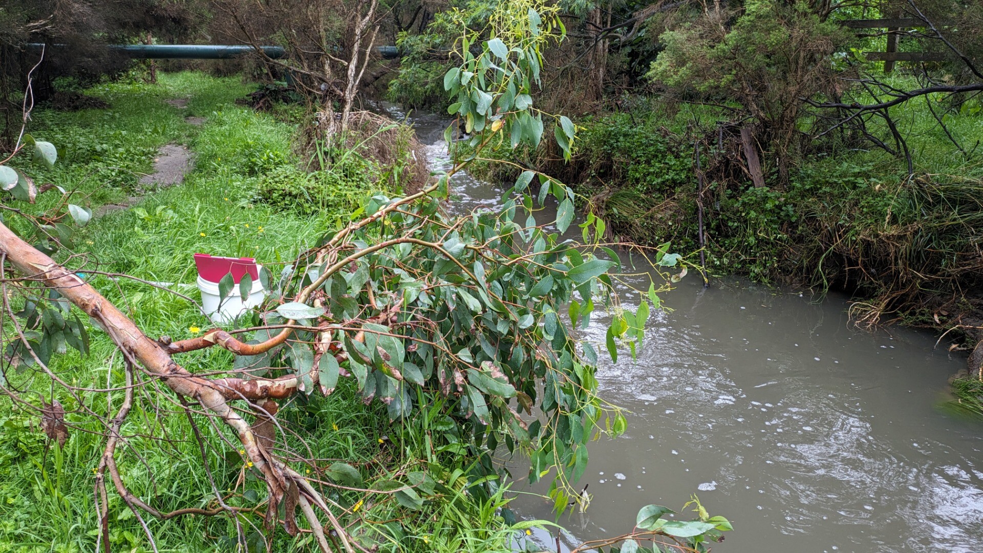
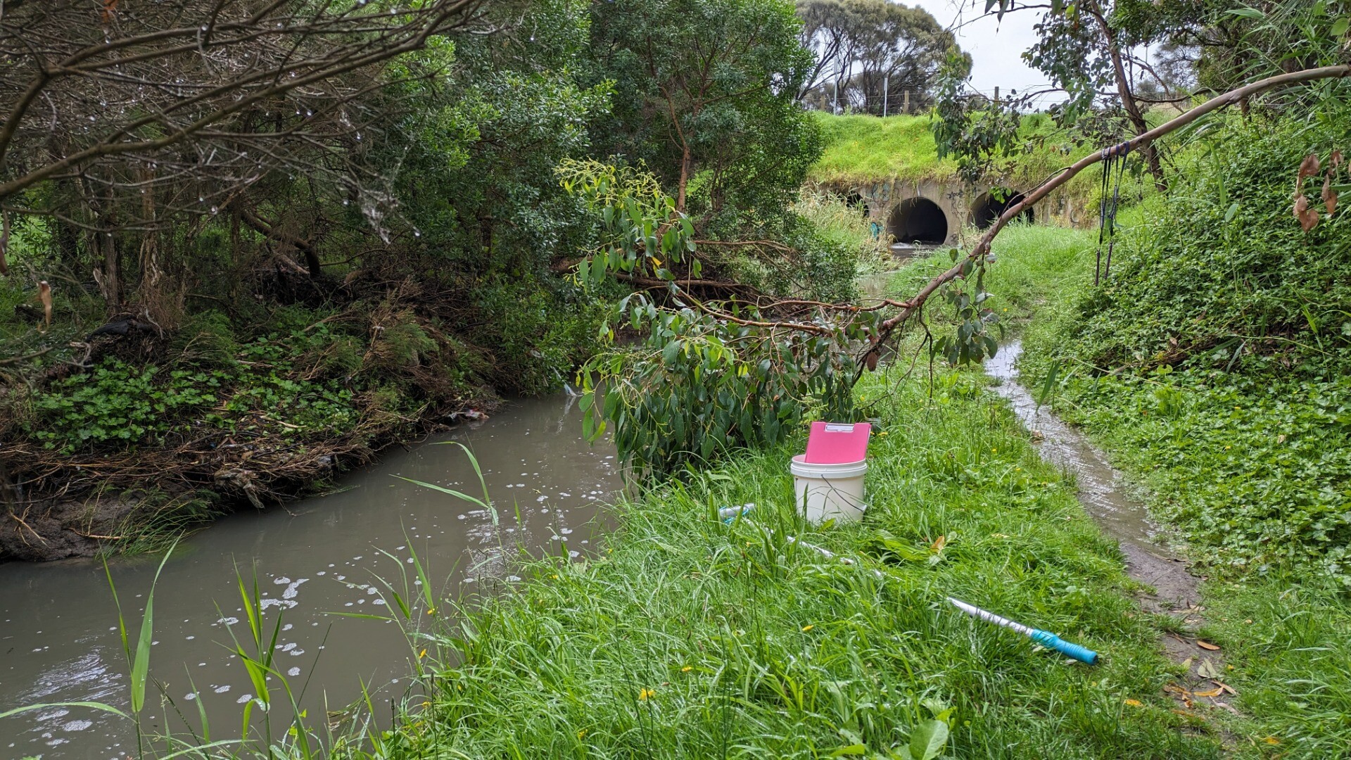
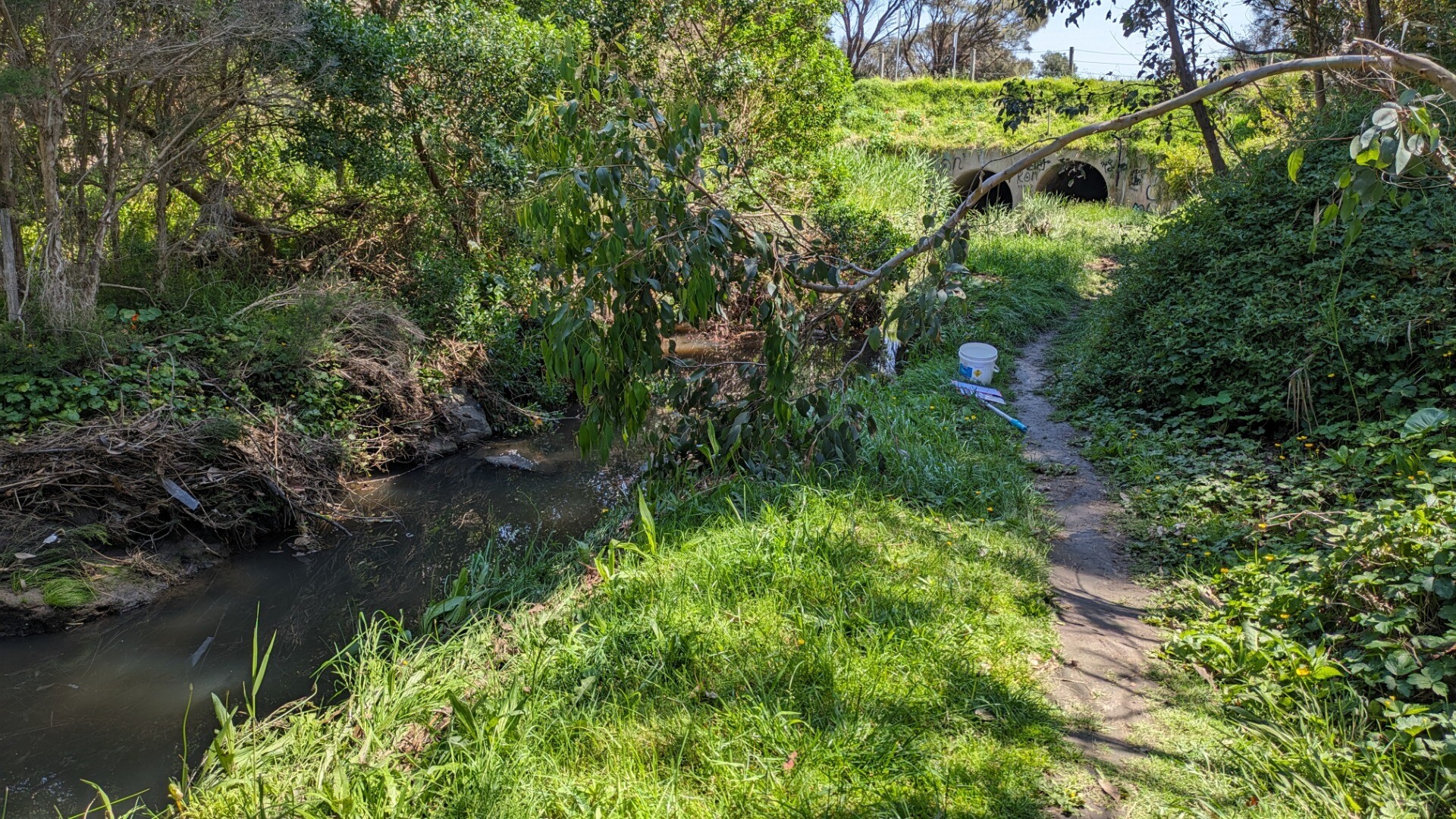
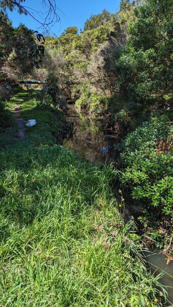
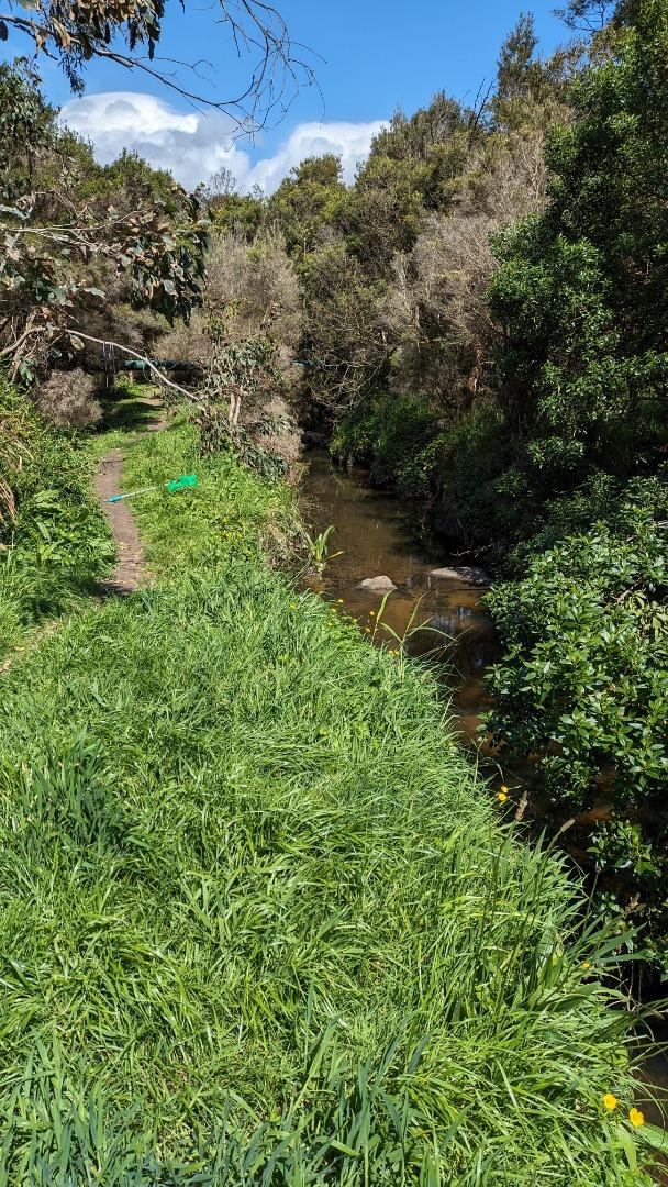
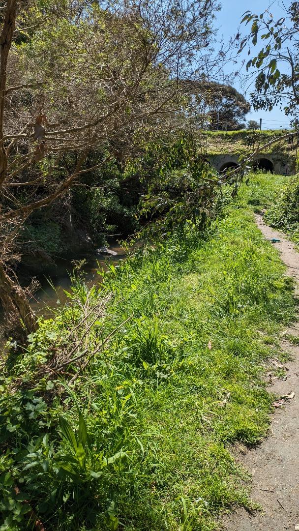
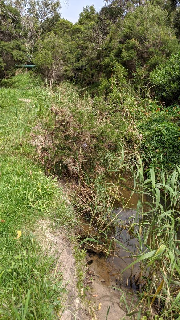
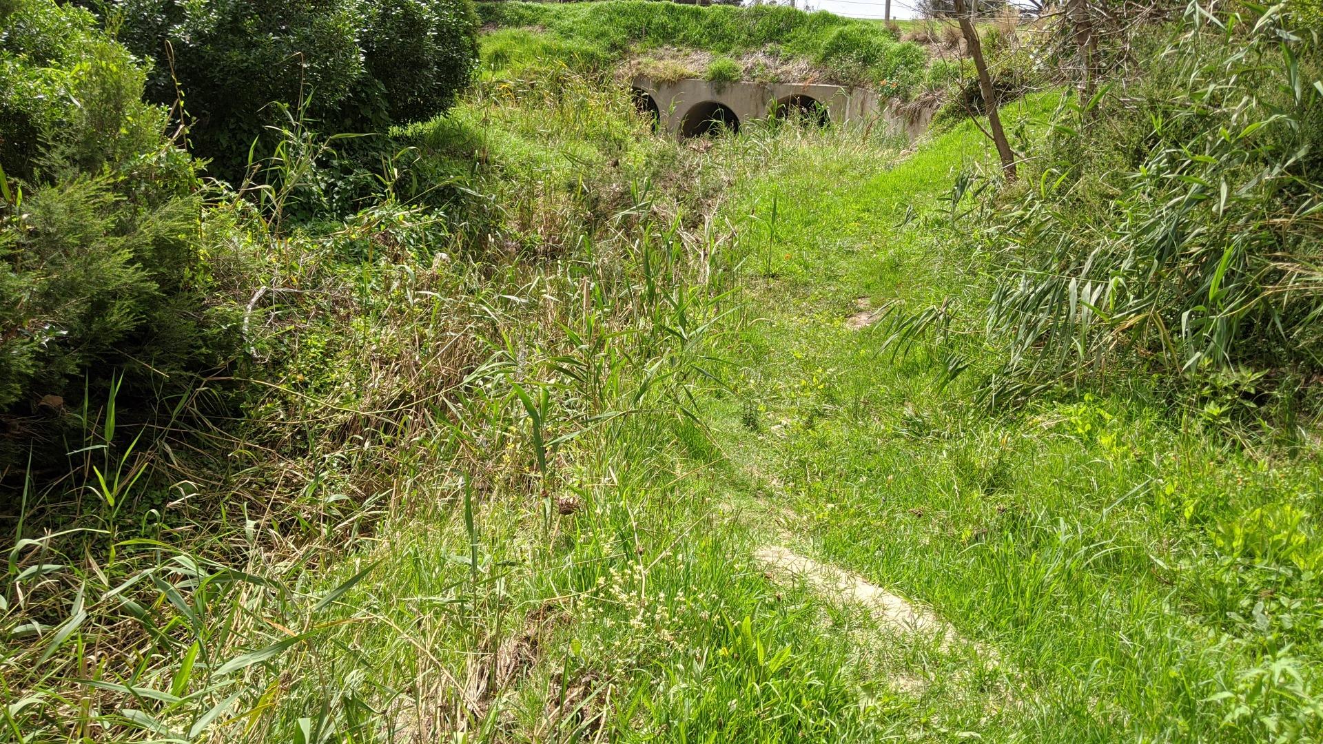
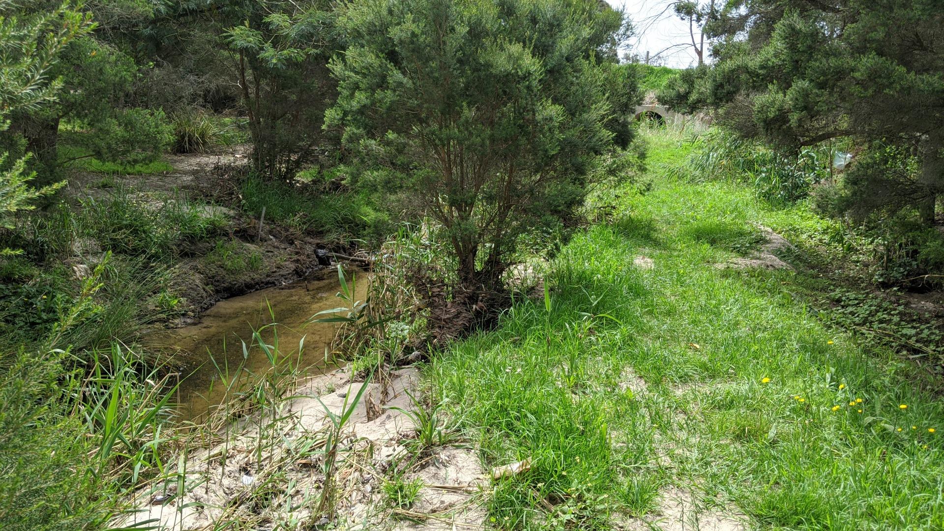
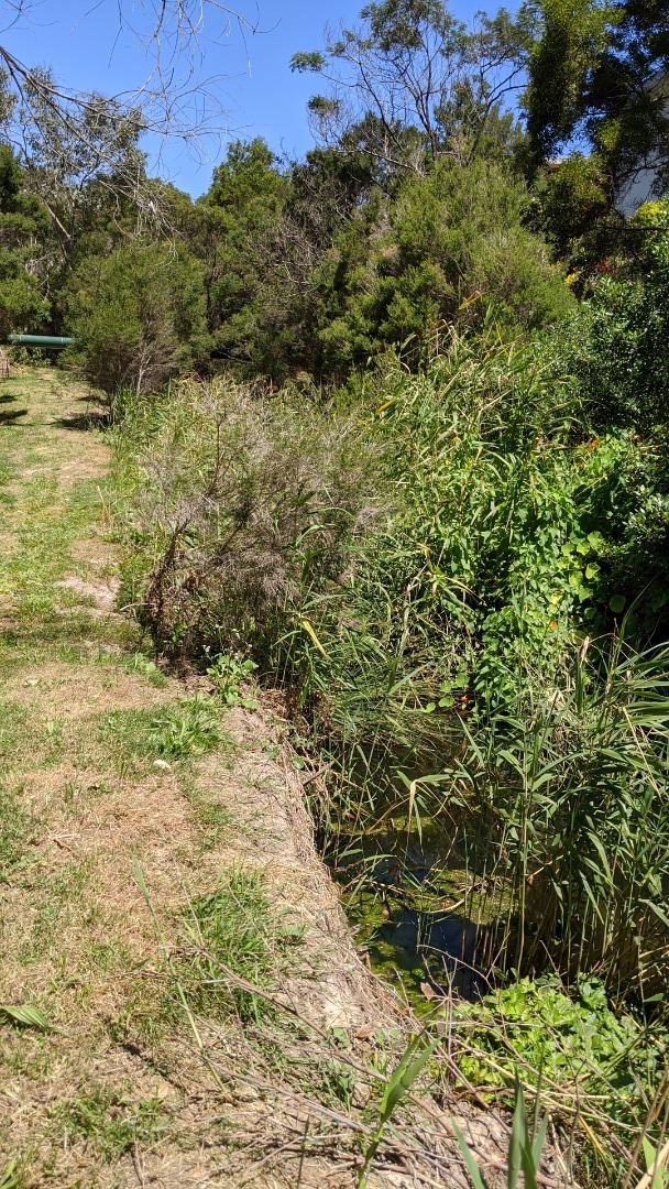
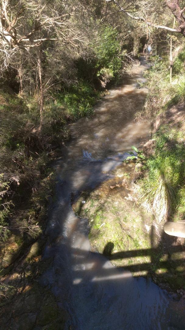
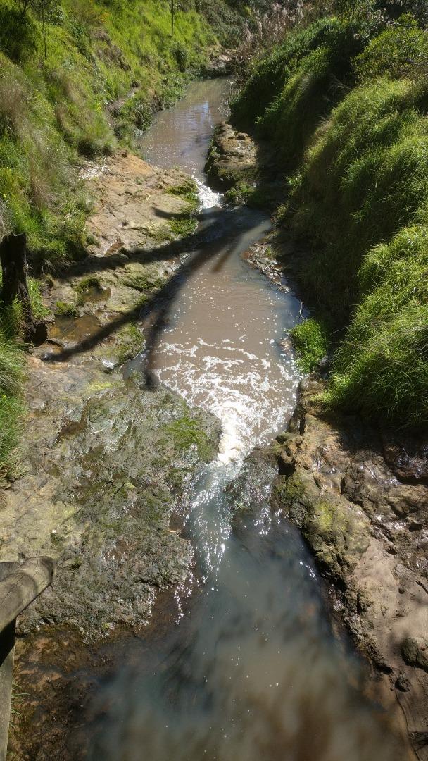
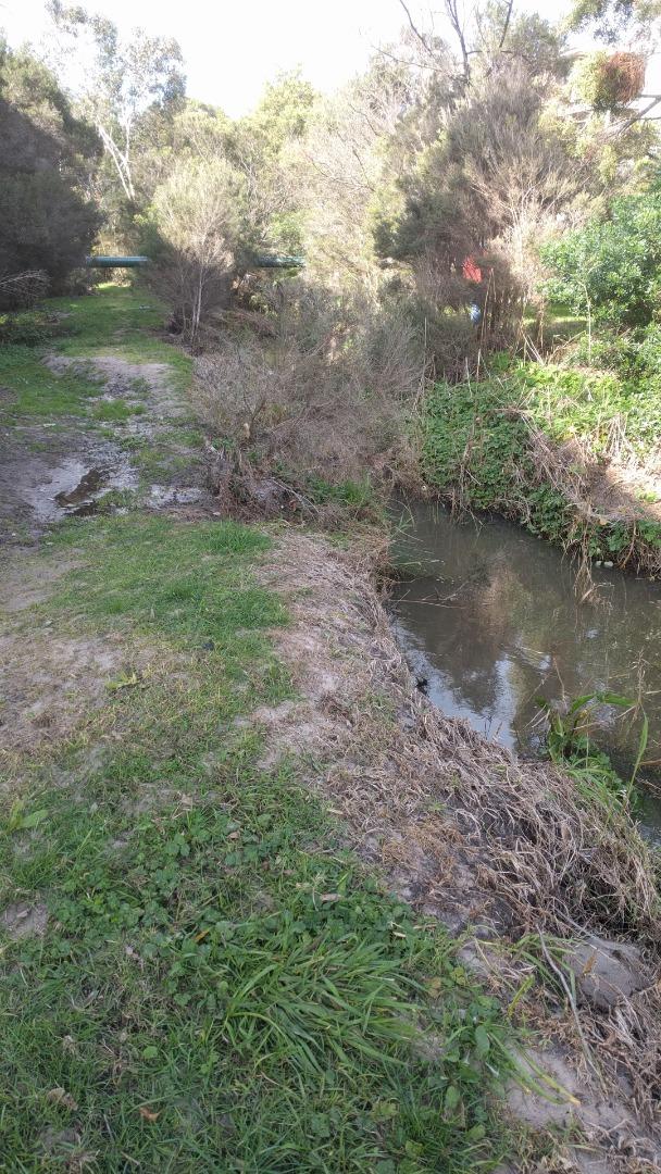
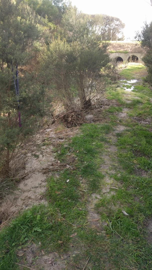
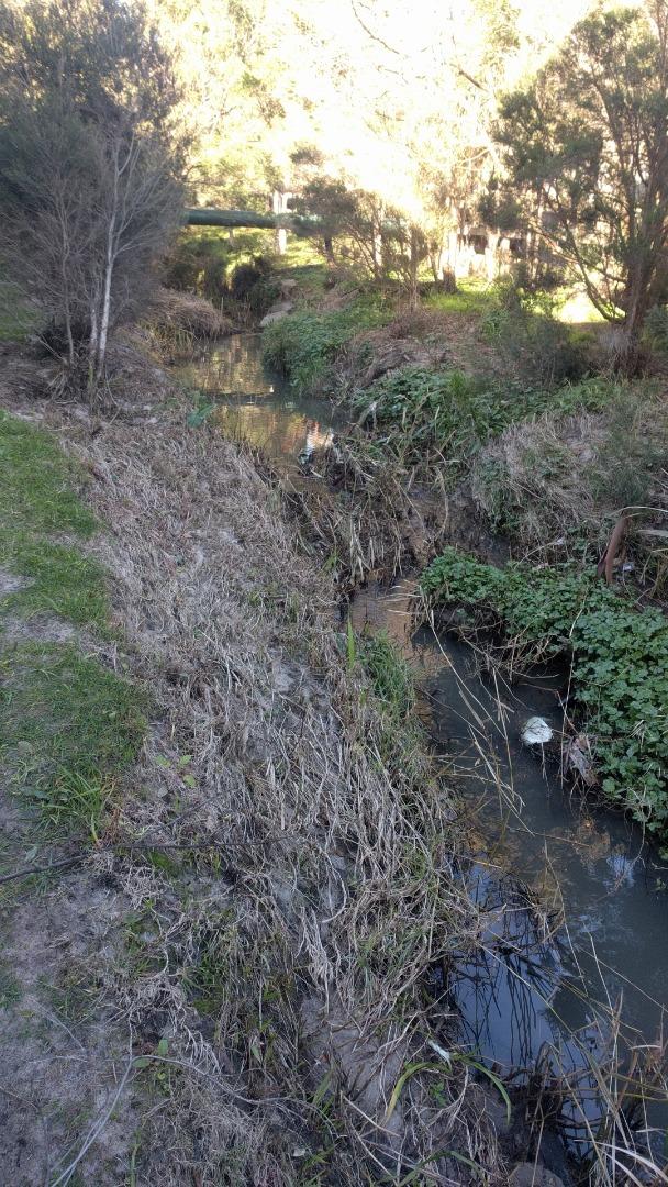
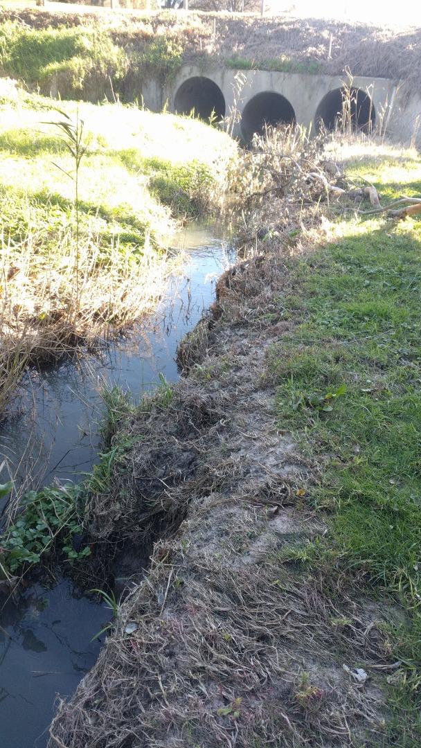
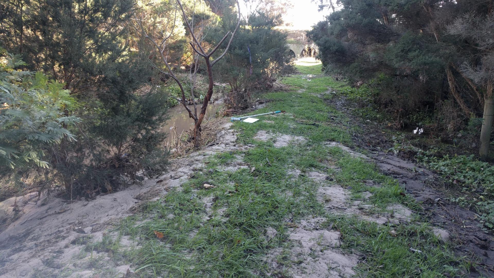
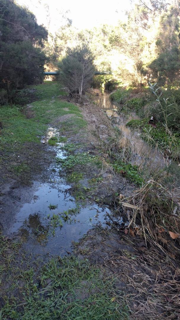
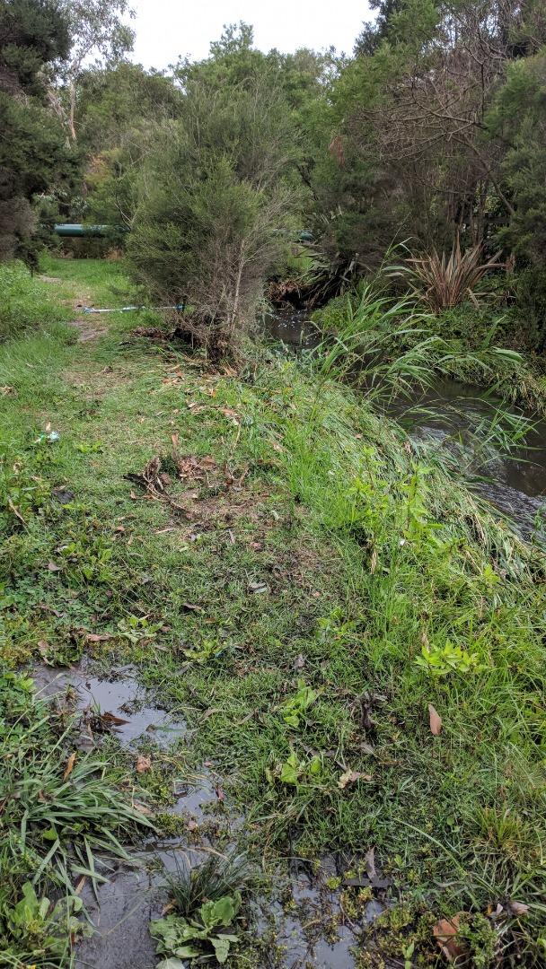
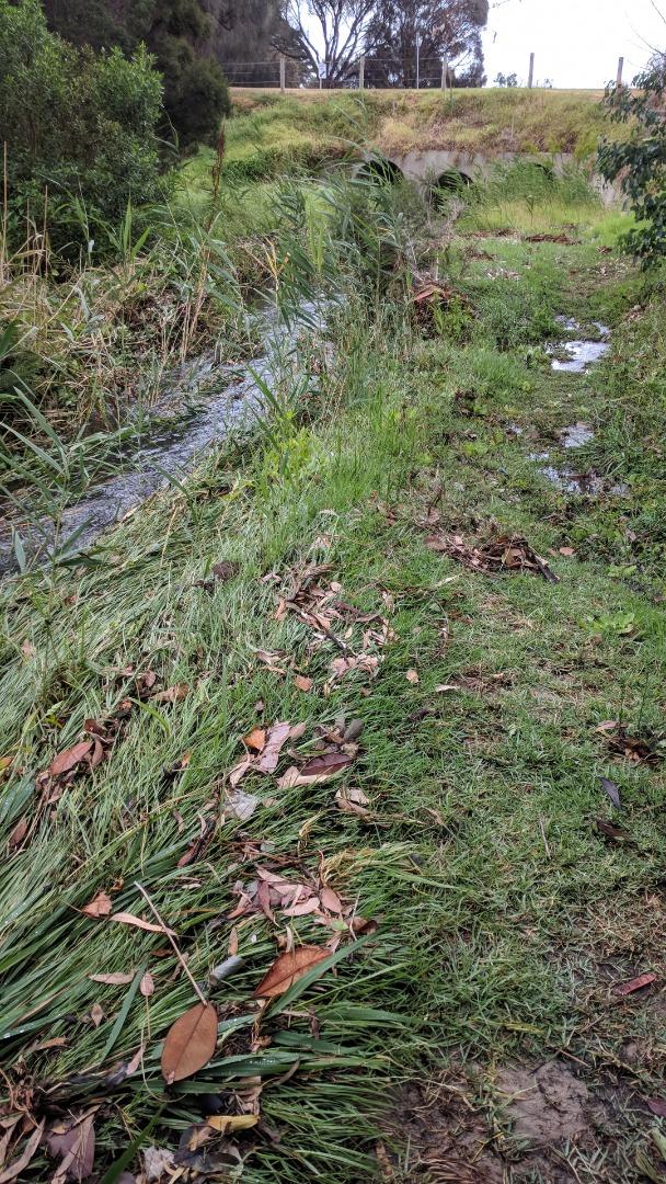
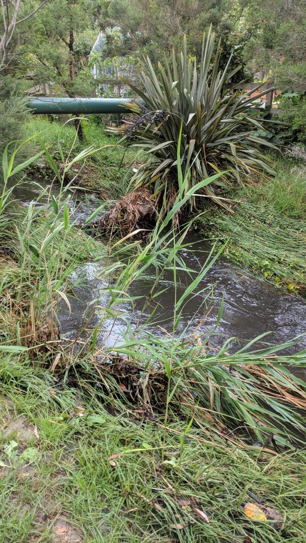
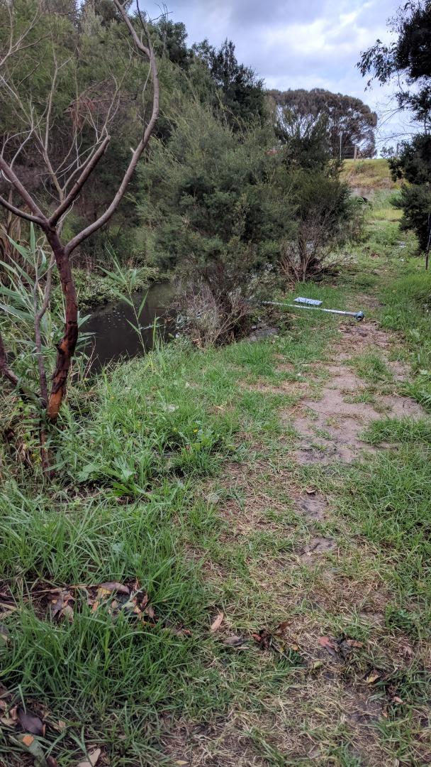
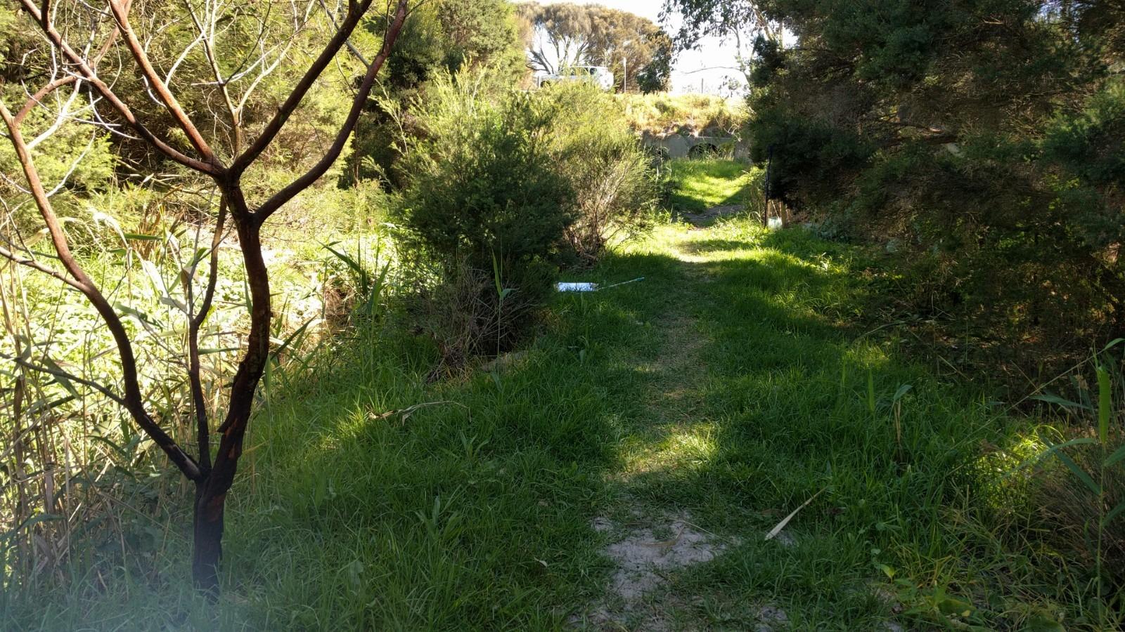
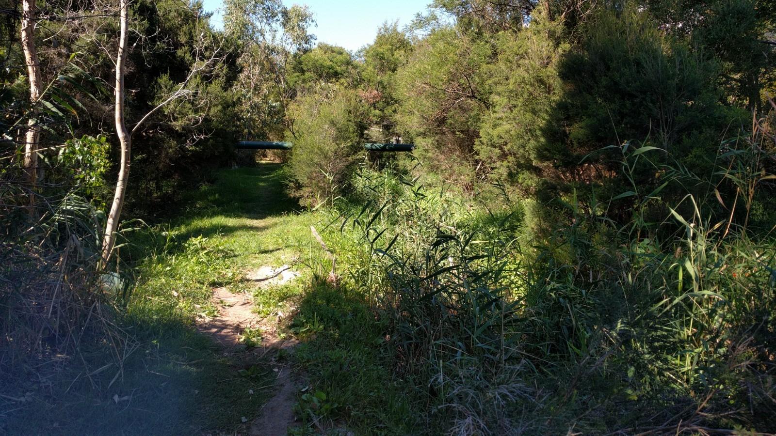
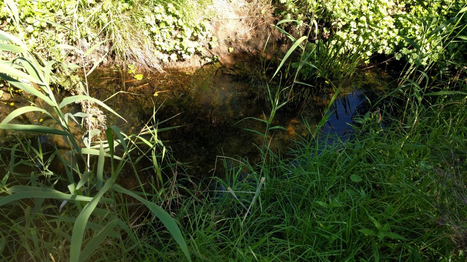
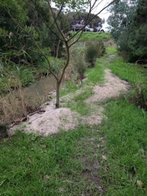
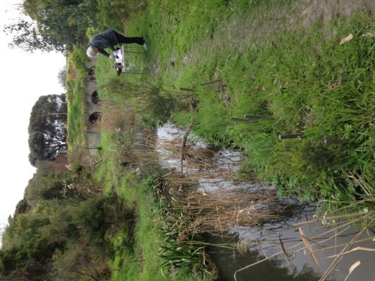
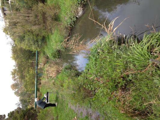
ME_ETN900 Tanti Creek upstream of Estuary (land side of Esplanade)
Site details
Overview
| Site code | ME_ETN900 |
|---|---|
| Site name | Tanti Creek upstream of Estuary (land side of Esplanade) |
| Status | Active |
| Water Authority | Melbourne |
| Basin | Bunyip River |
| Catchment | Bunyip River |
| Sub catchment | Tanti Creek |
| Reach | |
| Water type | Creek |
| Council | Mornington Peninsula Shire Council |
| History | View all 84 site visits 21-09-2007 - 08-03-2024 |
| Monitoring organisations |
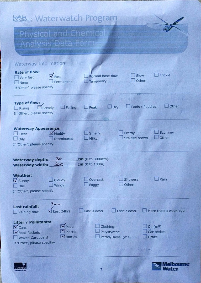
Site visits
 Loading chart
| Date | Ammon-Nit mg/L NH3-N | N mg/L NH4+ | D.O. % | D.O mg/L | EC µS/cm | FrP mg/L P | Nitrate-Nit mg/L N | pH pH Units | rP mg/L P | Air ° C | Water ° C | Turb FAU | Turb NTU |
|---|---|---|---|---|---|---|---|---|---|---|---|---|---|
| 08-10-2023 | 0.02 | 107.57 | 10.6 | 3800 | 7.3 | 0.14 | 17 | 15.5 | 8.4 | ||||
| 08-11-2023 | 0.07 | 87.04 | 8.1 | 1620 | 7 | 0.03 | 23.5 | 18.6 | 15.5 | ||||
| 17-01-2024 | 0.04 | 76.39 | 6.9 | 220 | 7.4 | 0.042 | 17 | 20.3 | 37.8 | ||||
| 08-03-2024 | 0.02 | 114.59 | 10.2 | 6600 | 8 | 0.06 | 27 | 20 | 8.18 |
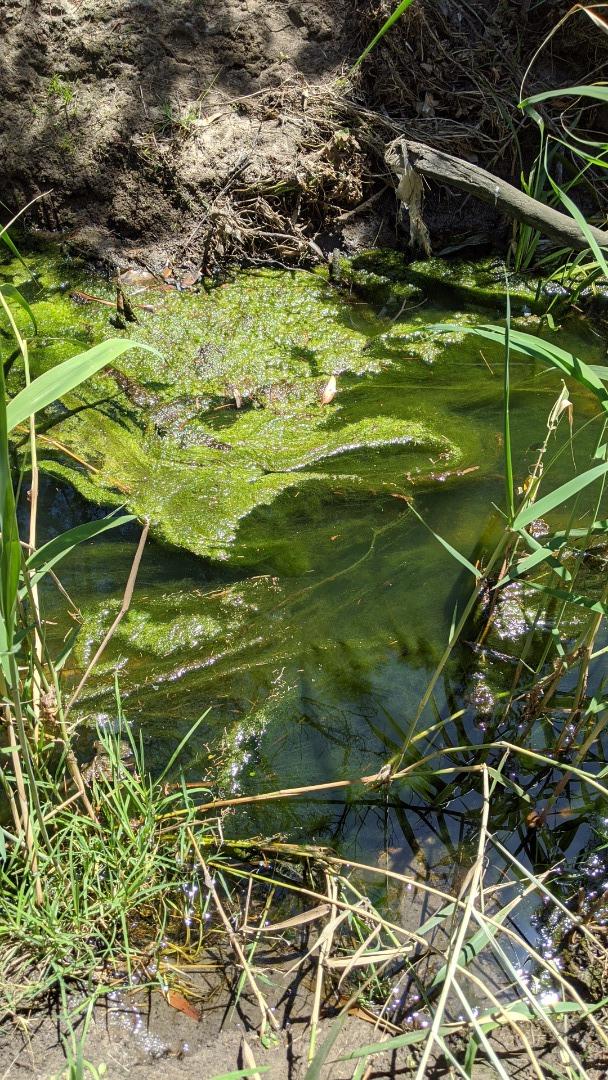
Habitat
| Date | Comment | Bank Erosion Stability | Bank Vegetation | In Stream Cover | Riffles Pools Bends | Verge Vegetation | Overall |
|---|---|---|---|---|---|---|---|
| 01-06-2015 | Good 4 | Fair 6 | Fair 6 | Poor 2 | Good 8 | Fair 26 | |
| 07-08-2009 | Fair 3 | VeryPoor 2 | Poor 4 | Fair 3 | Poor 4 | Poor 16 |


All content, files, data and images provided by the Waterwatch Data Portal and Gallery are subject to a Creative Commons Attribution License
Content is made available to be used in any way, and should always attribute Waterwatch and www.vic.waterwatch.org.au
.png)