Waterwatch Data Portal
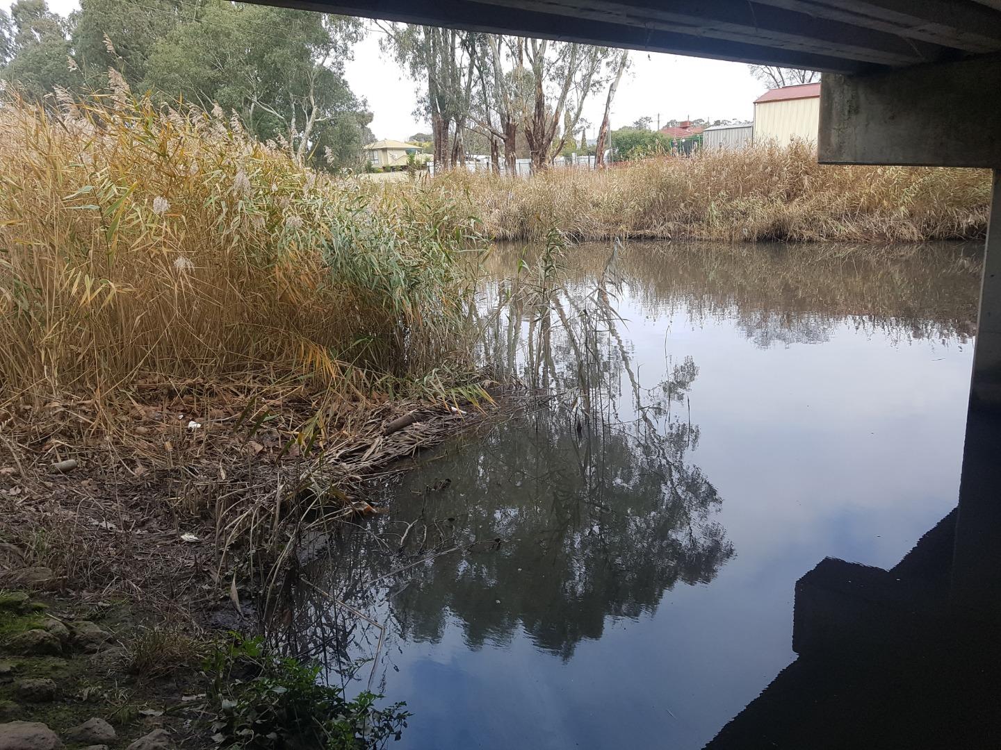
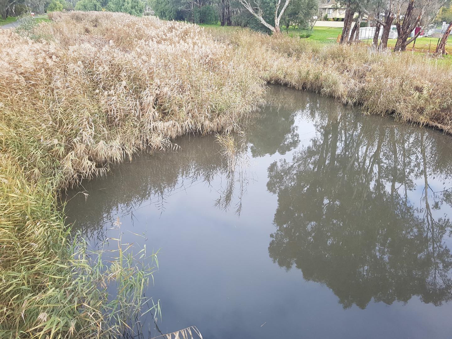
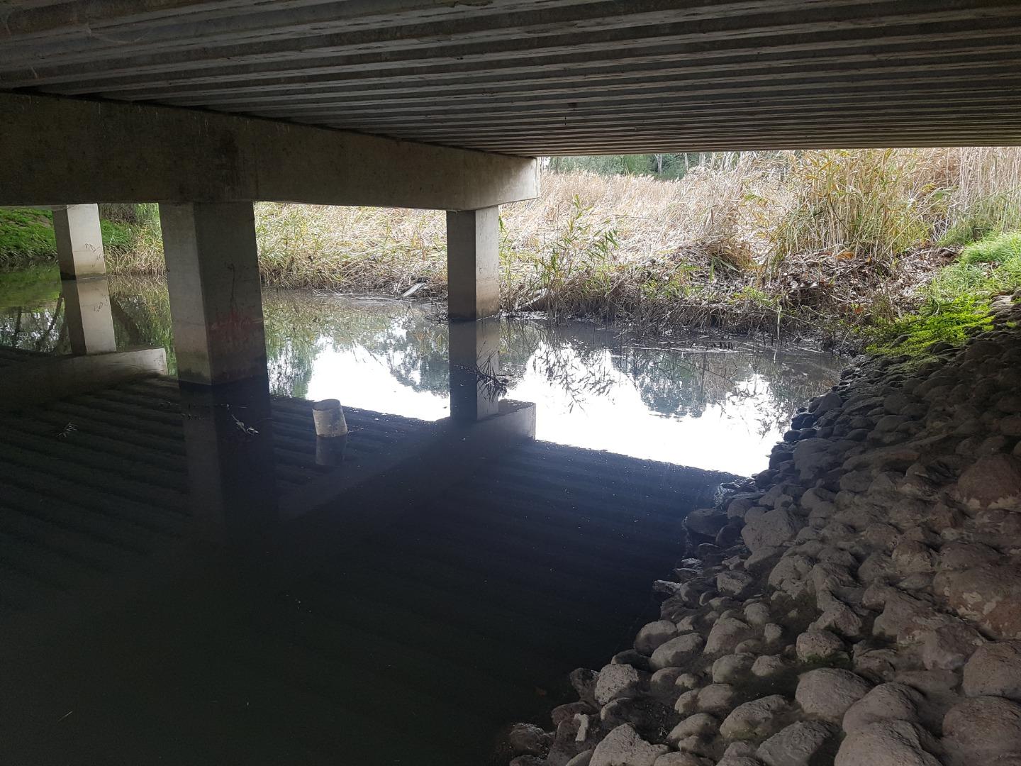
NC_BGO029 Bendigo Creek - Knight Street bridge, White Hills
Site details
Overview
| Site code | NC_BGO029 |
|---|---|
| Site name | Bendigo Creek - Knight Street bridge, White Hills |
| Status | Active |
| Water Authority | North Central |
| Basin | Loddon River |
| Catchment | Loddon River |
| Sub catchment | Bendigo Creek |
| Reach | 7_44 Bendigo Creek |
| Water type | Other |
| Council | Greater Bendigo City Council |
| History | View all 31 site visits 07-07-2005 - 28-02-2024 |
| Monitoring organisations |
|
Site visits
 Loading chart
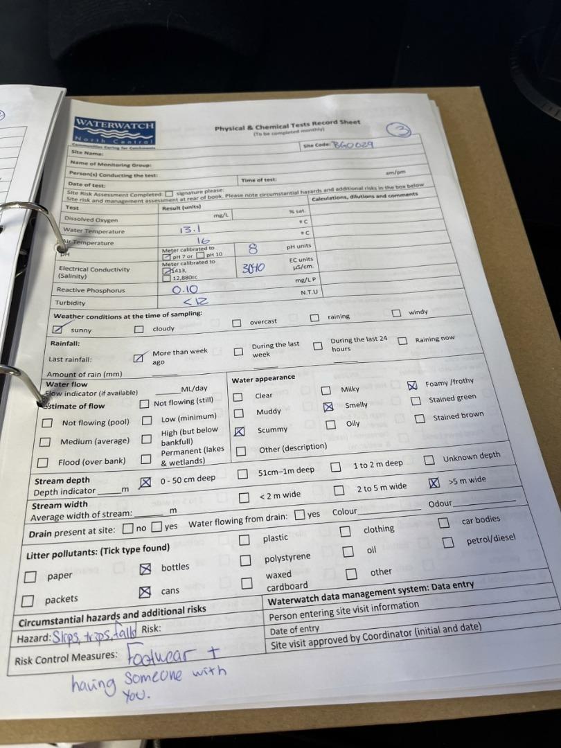
| Date | Ammon-Nit mg/L NH3-N | D.O. % | EC µS/cm | pH pH Units | rP mg/L P | Air ° C | Water ° C | Turb NTU |
|---|---|---|---|---|---|---|---|---|
| 06-07-2022 | 3040 | 8 | 0.1 | 16 | 13.1 | 12 | ||
| 30-11-2022 | 3560 | 8.14 | 0.3 | 17 | 16.8 | 60 | ||
| 27-02-2023 | 2660 | 7.3 | 0.4 | 22 | 21.5 | 11 | ||
| 24-04-2023 | 4390 | 7.8 | 0.05 | 23 | 18.4 | 9 | ||
| 16-05-2023 | 4750 | 7.9 | 0.2 | 17 | 15.5 | 9 | ||
| 19-06-2023 | 378 | 7.6 | 0.1 | 11 | 10.2 | 0.8 | ||
| 17-07-2023 | 5810 | 8.1 | 0.033 | 12 | 13.6 | 9 | ||
| 05-09-2023 | 5600 | 8.5 | 0 | 16.3 | 17.1 | |||
| 18-09-2023 | 5700 | 7.9 | 0.05 | 25 | 23.5 | |||
| 23-10-2023 | 5640 | 8.6 | 0.067 | 20 | 19.7 | |||
| 10-11-2023 | 2195 | 7.5 | 0.3 | 20 | 20 | 11 | ||
| 21-12-2023 | 4040 | 8.1 | 0.067 | 27 | 26 | 10 | ||
| 31-01-2024 | 4920 | 8.2 | 0.267 | 27 | 20.2 | 30 | ||
| 28-02-2024 | 3840 | 8 | 0.027 | 33 | 24 | 10 |
Habitat
| Date | Comment | Bank Erosion Stability | Bank Vegetation | In Stream Cover | Riffles Pools Bends | Verge Vegetation | Overall |
|---|---|---|---|---|---|---|---|
| 24-04-2023 | Poor 2 | VeryPoor 2 | VeryPoor 2 | VeryPoor 1 | Poor 4 | 11 | |
| 27-02-2023 | N/A | Poor 4 | VeryPoor 2 | VeryPoor 1 | Poor 4 | 11 |
![ducks also crossing the weeroona ave bridge [ not the knight st one pictured]](https://www.vic.waterwatch.org.au/uploads/file_234941.jpg)
![PH test result [7.3]](https://www.vic.waterwatch.org.au/uploads/file_232612.jpg)

All content, files, data and images provided by the Waterwatch Data Portal and Gallery are subject to a Creative Commons Attribution License
Content is made available to be used in any way, and should always attribute Waterwatch and www.vic.waterwatch.org.au
.png)