Waterwatch Data Portal
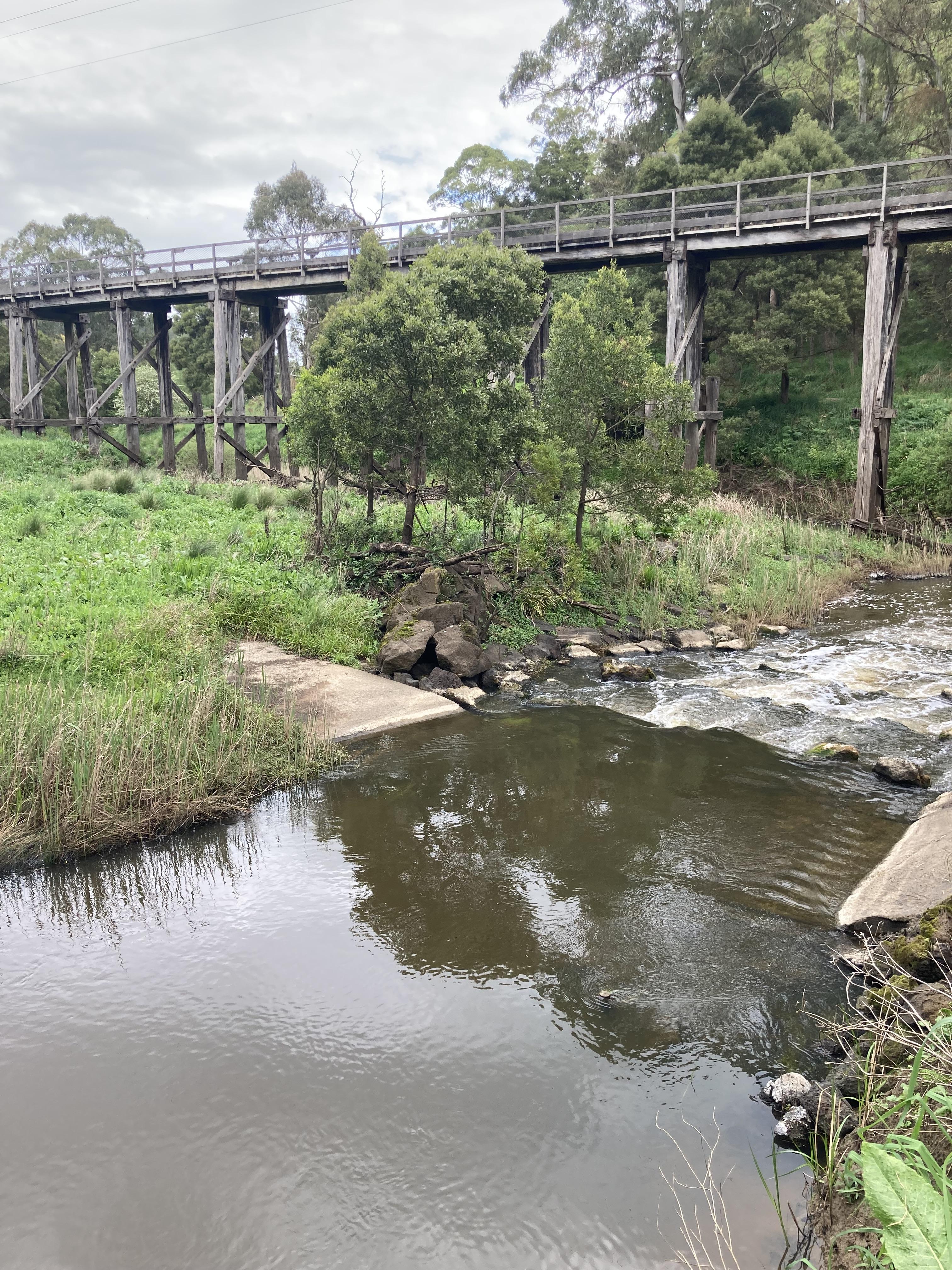
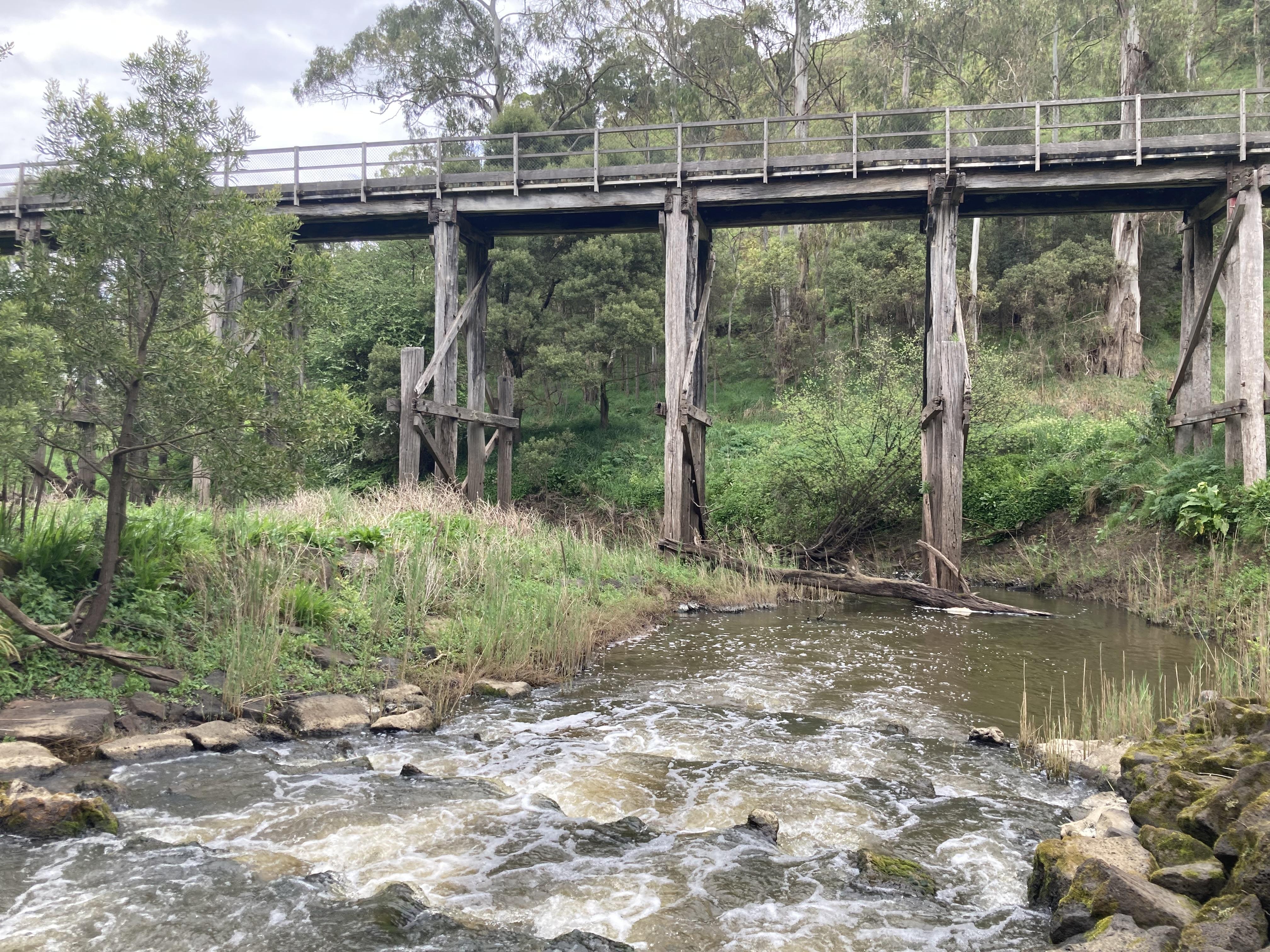
CO_CUR060 Curdies River @ confluence with Limestone Creek above Timboon-Camperdown rail trail trestle bridge
Site details
Overview
| Site code | CO_CUR060 |
|---|---|
| Site name | Curdies River @ confluence with Limestone Creek above Timboon-Camperdown rail trail trestle bridge |
| Status | Active |
| Water Authority | Corangamite |
| Basin | Otway Coast |
| Catchment | Otway Coast |
| Sub catchment | Curdies River |
| Reach | 35_2 Curdies River |
| Water type | River |
| Council | Colac Otway Shire Council |
| History | View all 7 site visits 23-11-2019 - 03-10-2023 |
| Monitoring organisations |
|
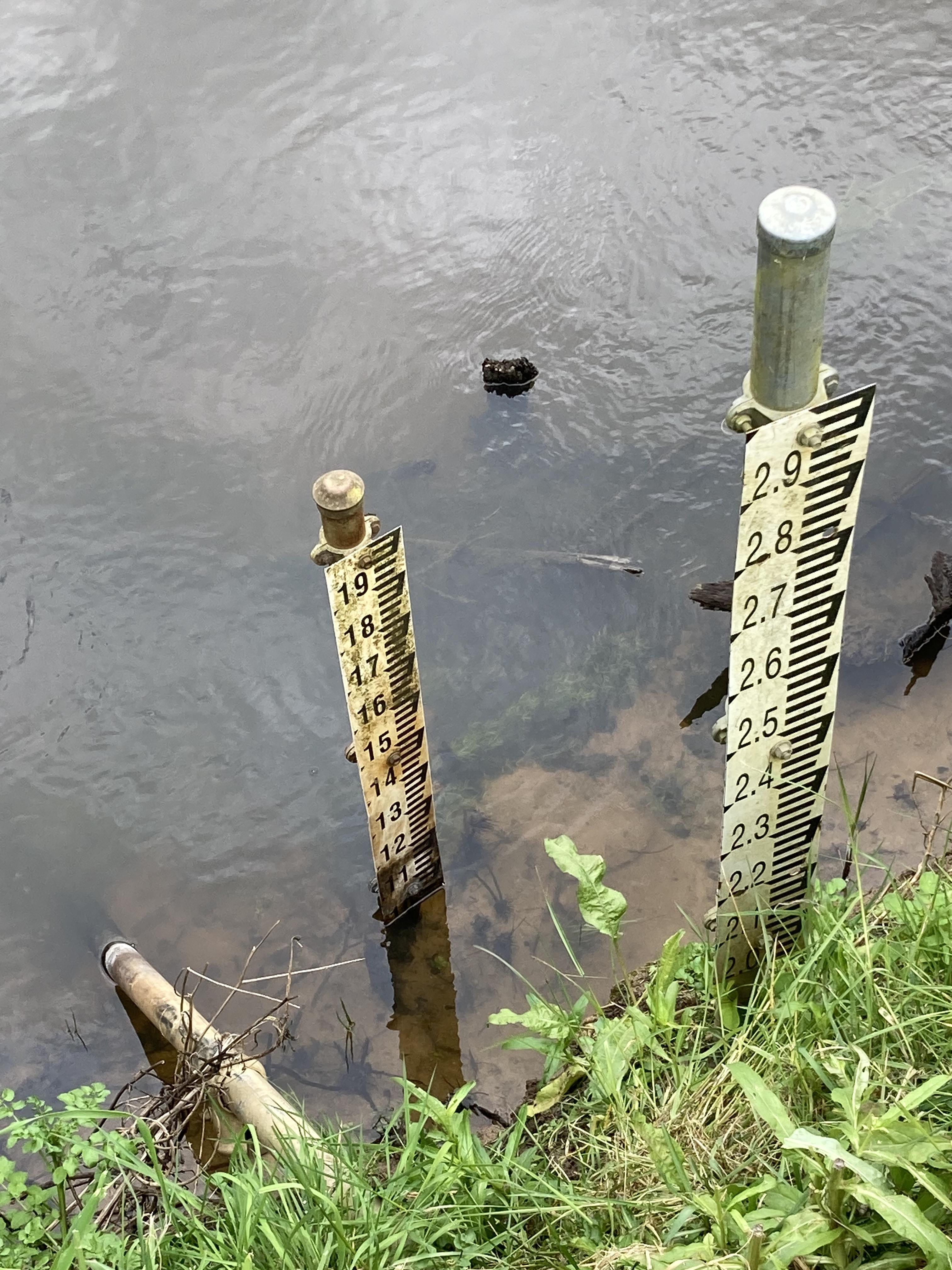
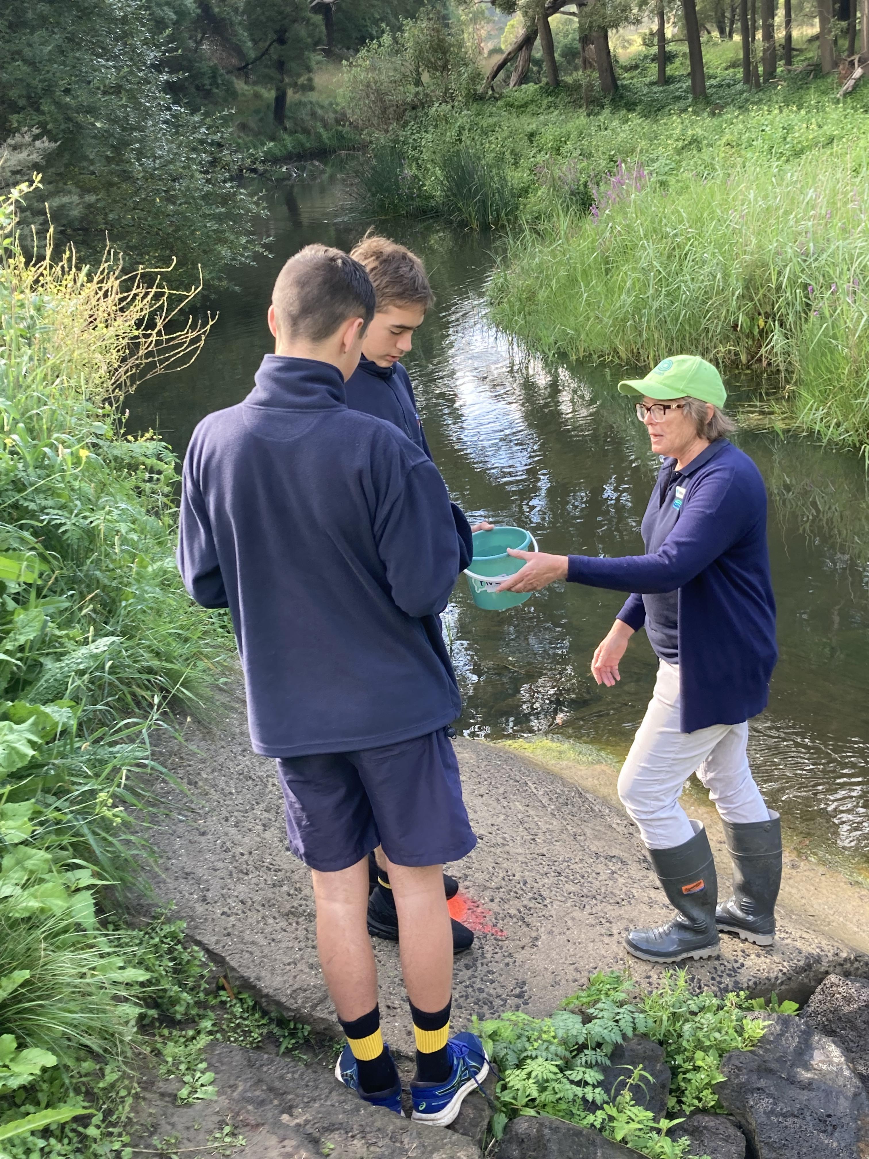
Site visits
 Loading chart
| Date | D.O. % | D.O mg/L | eDNA presence=1 | EC µS/cm | pH pH Units | rP mg/L P | Air ° C | Water ° C | Turb NTU |
|---|---|---|---|---|---|---|---|---|---|
| 23-03-2023 | 1291 | 7 | 0.07 | 20 | 17 | 10 | |||
| 23-03-2023 | 1291 | 7 | 0.07 | 20 | 17 | 10 | |||
| 03-10-2023 | 1280 | 8 | 0.1 | 17 | 15 | 10 |
Habitat
| Date | Comment | Bank Erosion Stability | Bank Vegetation | In Stream Cover | Riffles Pools Bends | Verge Vegetation | Overall |
|---|---|---|---|---|---|---|---|
| 02-03-2021 | <p>Ragworl, Purple strife, Hawthorn, Blackwwod acacia, Eucalypts, lawn grass, hemlock, mastard weed, Fargmitis, woolly heatrec, elodea</p> | Good 4 | Excellent 10 | Excellent 10 | Excellent 5 | Fair 6 | 35 |
| 08-02-2021 | <p>Blackwood, wooly tea tea, purple loose strife, fragmytes austialis, convulvus, poa lab, gum trees, juncus </p> | Good 4 | Good 8 | Fair 6 | Fair 3 | Poor 4 | 25 |
| 11-01-2021 | <p>Dark woolly teatree, phargmites, reed, eukalyptus, blackwood, white facted heron, duck</p> | Good 4 | Fair 6 | Excellent 10 | Excellent 5 | Poor 4 | 29 |
| 23-11-2019 | <p>Fishway also present at site</p> | Excellent 5 | Fair 6 | Good 8 | Good 4 | Fair 6 | 29 |

All content, files, data and images provided by the Waterwatch Data Portal and Gallery are subject to a Creative Commons Attribution License
Content is made available to be used in any way, and should always attribute Waterwatch and www.vic.waterwatch.org.au
.png)