Waterwatch Data Portal
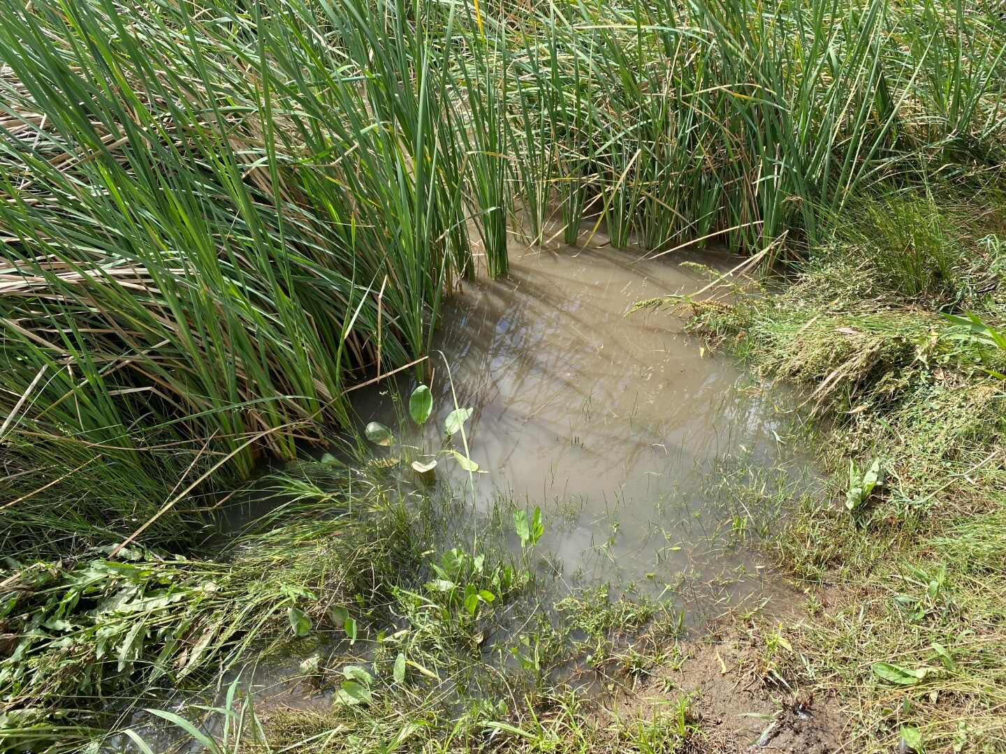
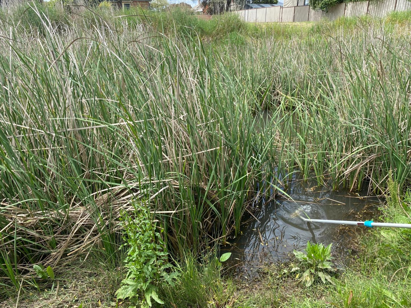
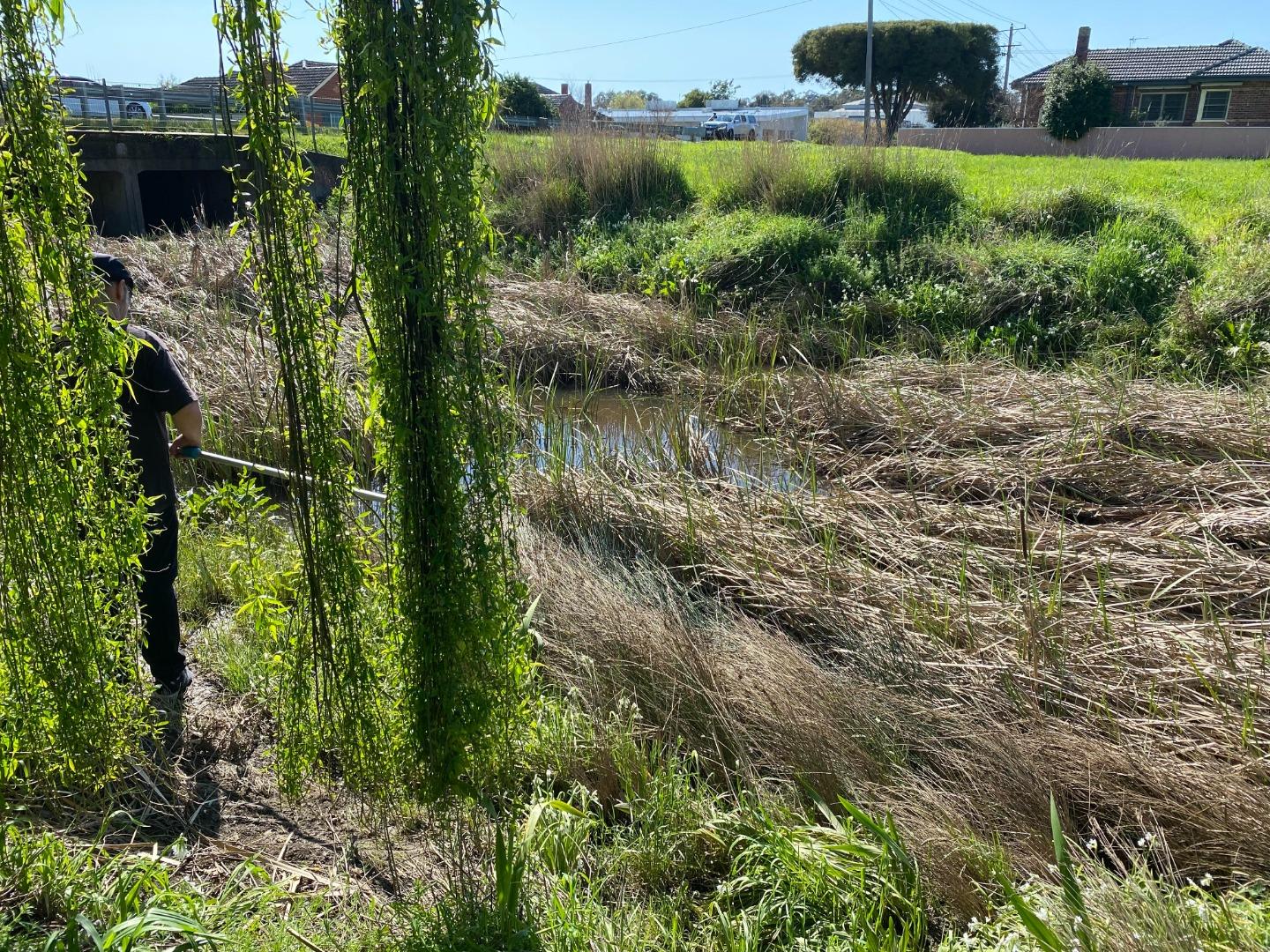
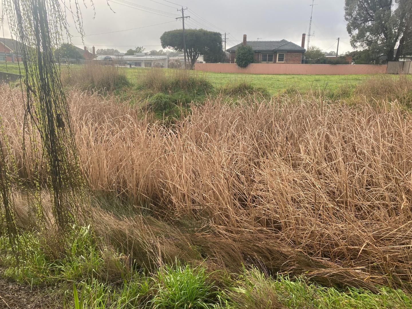
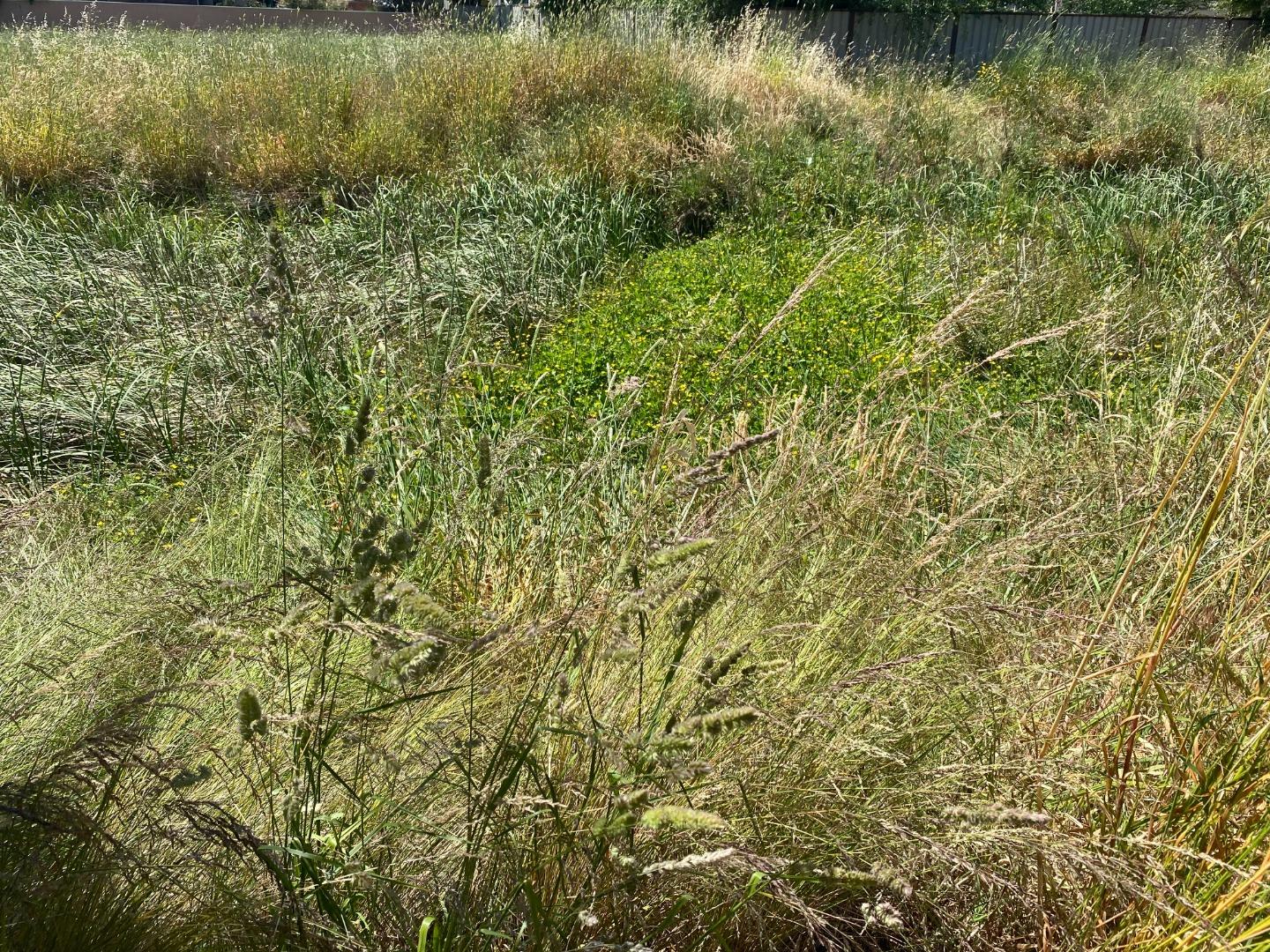
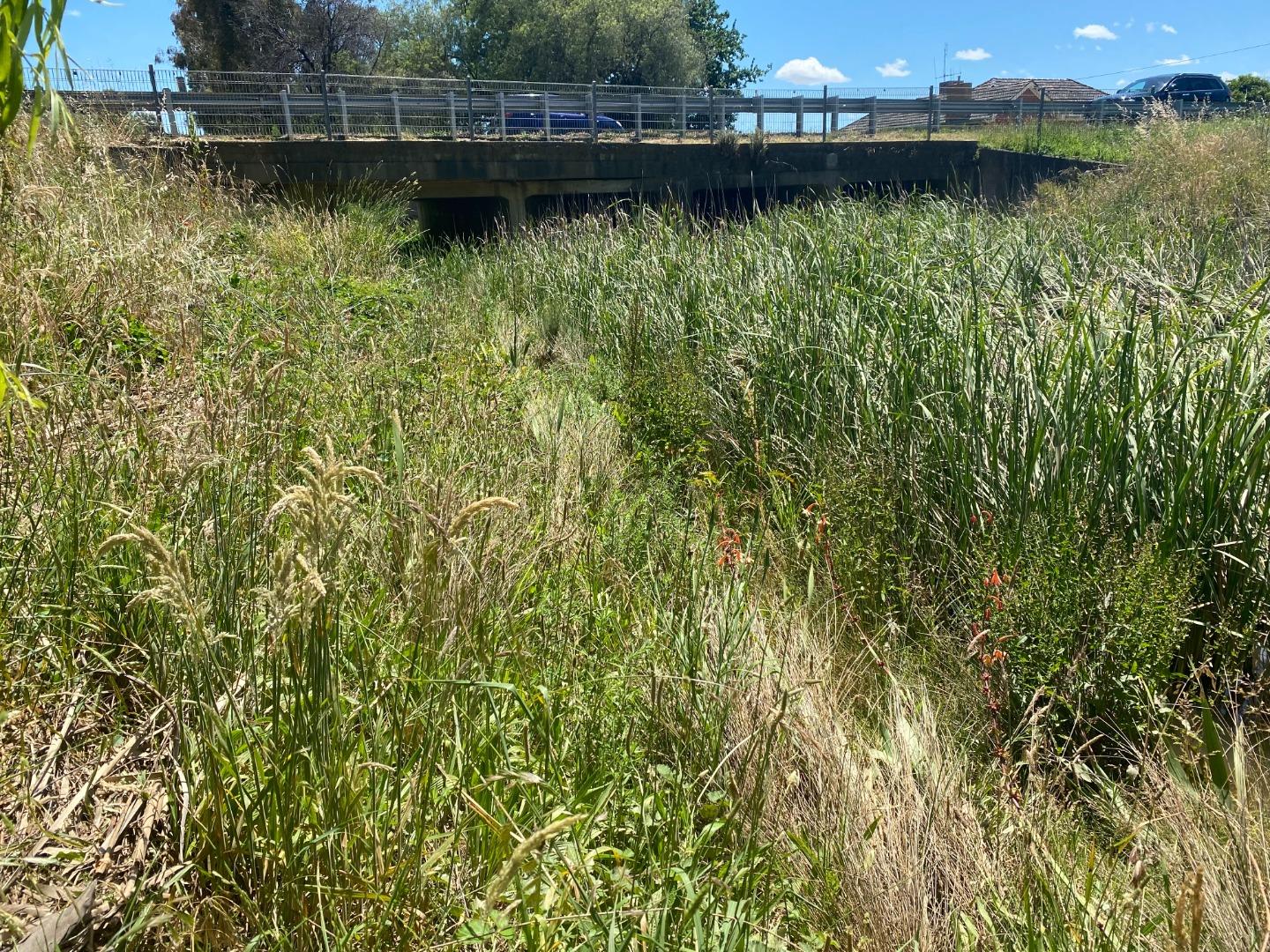
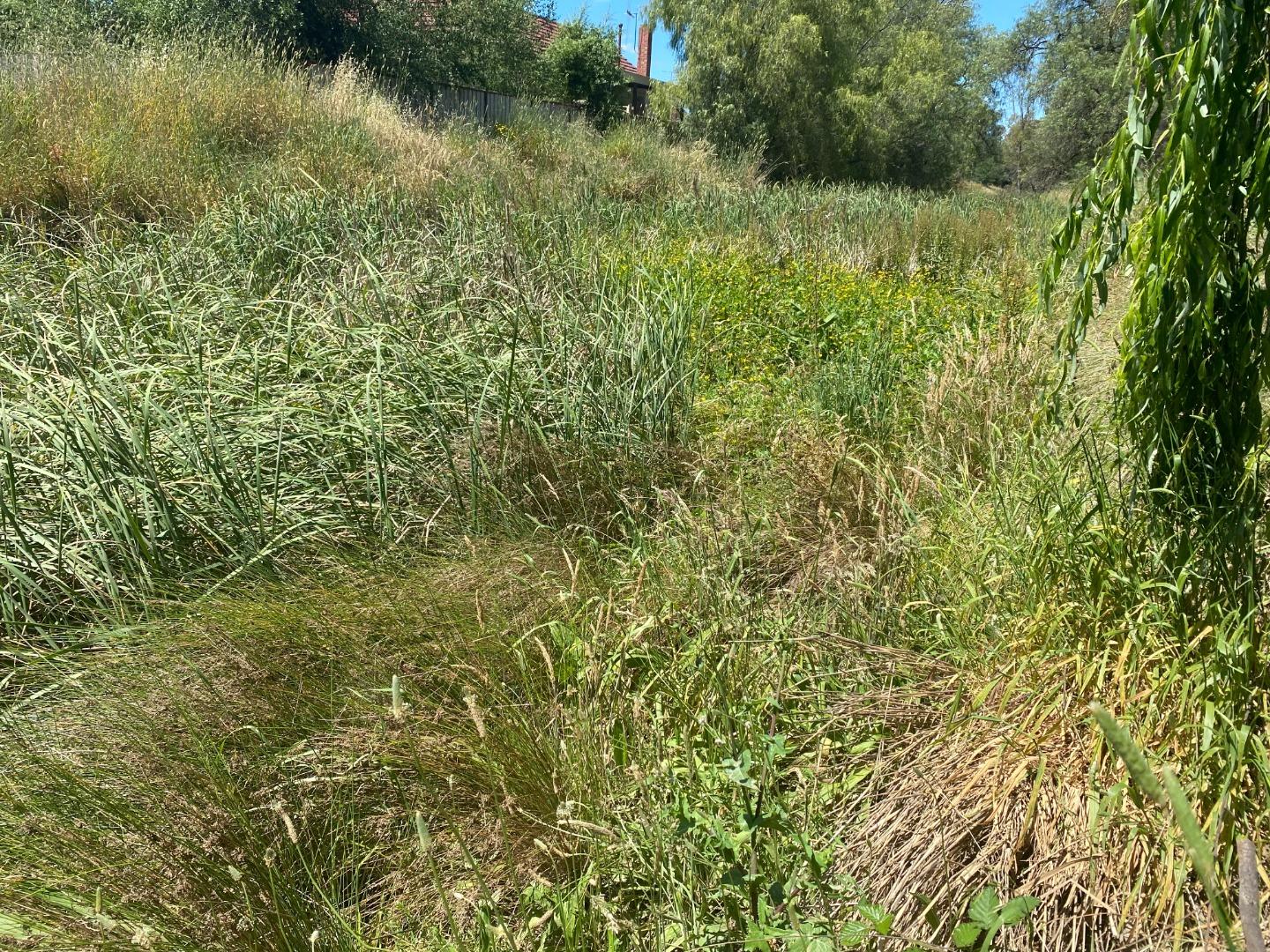
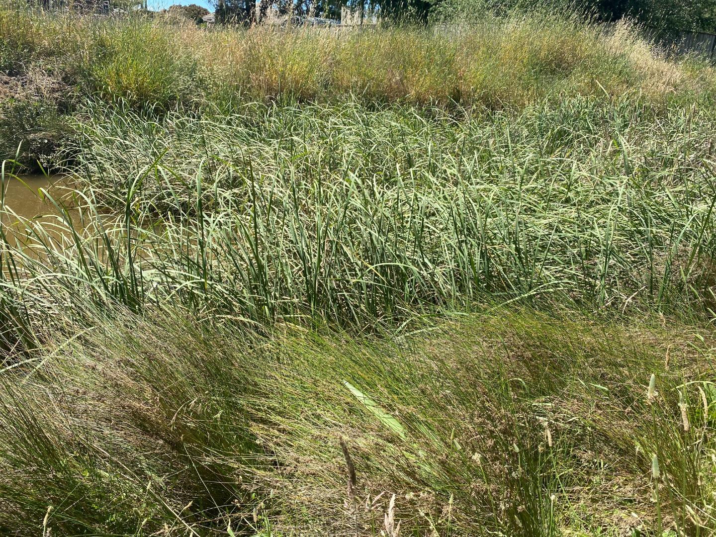
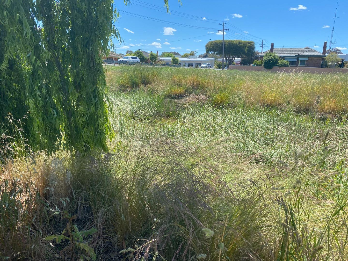
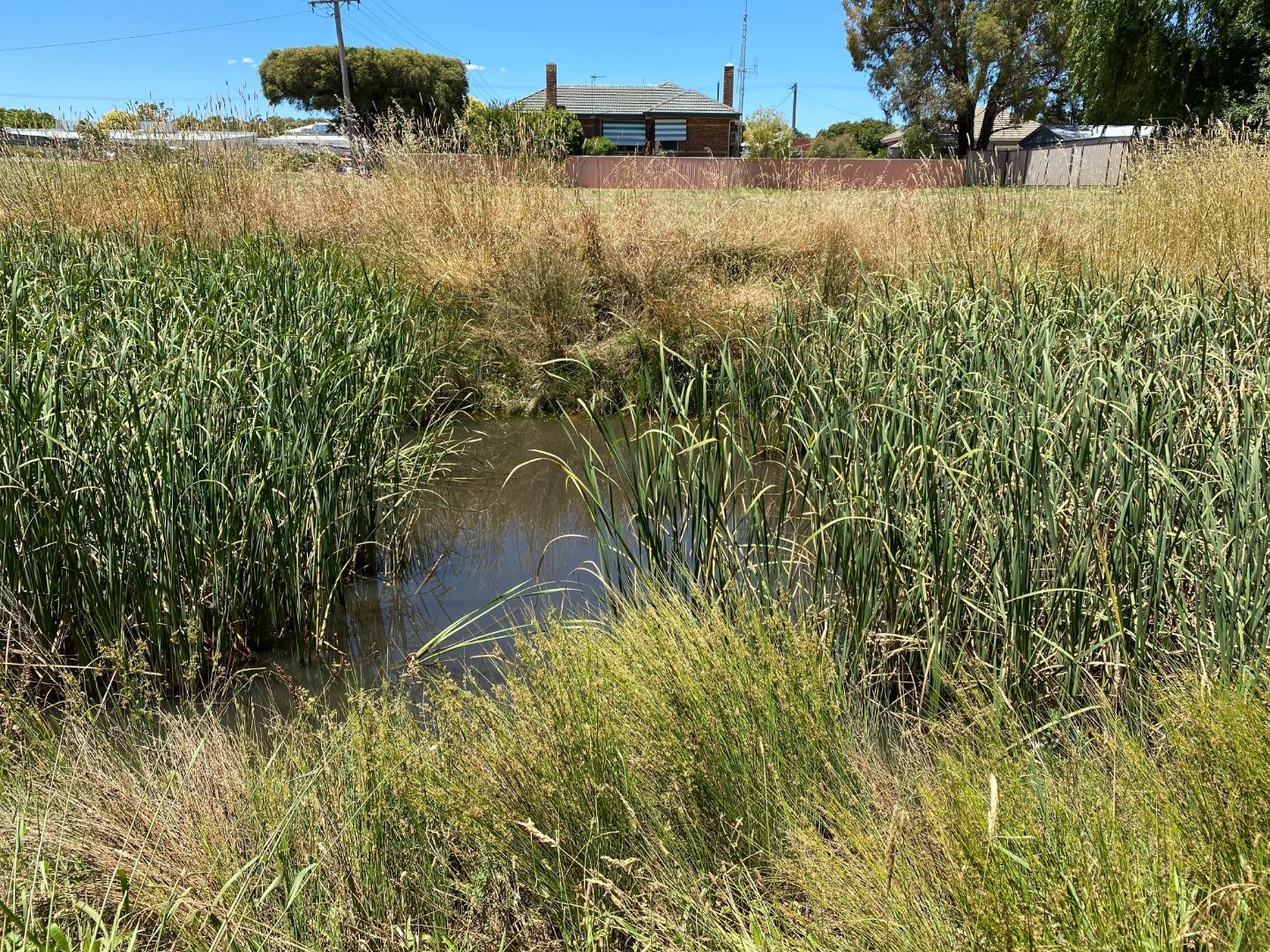
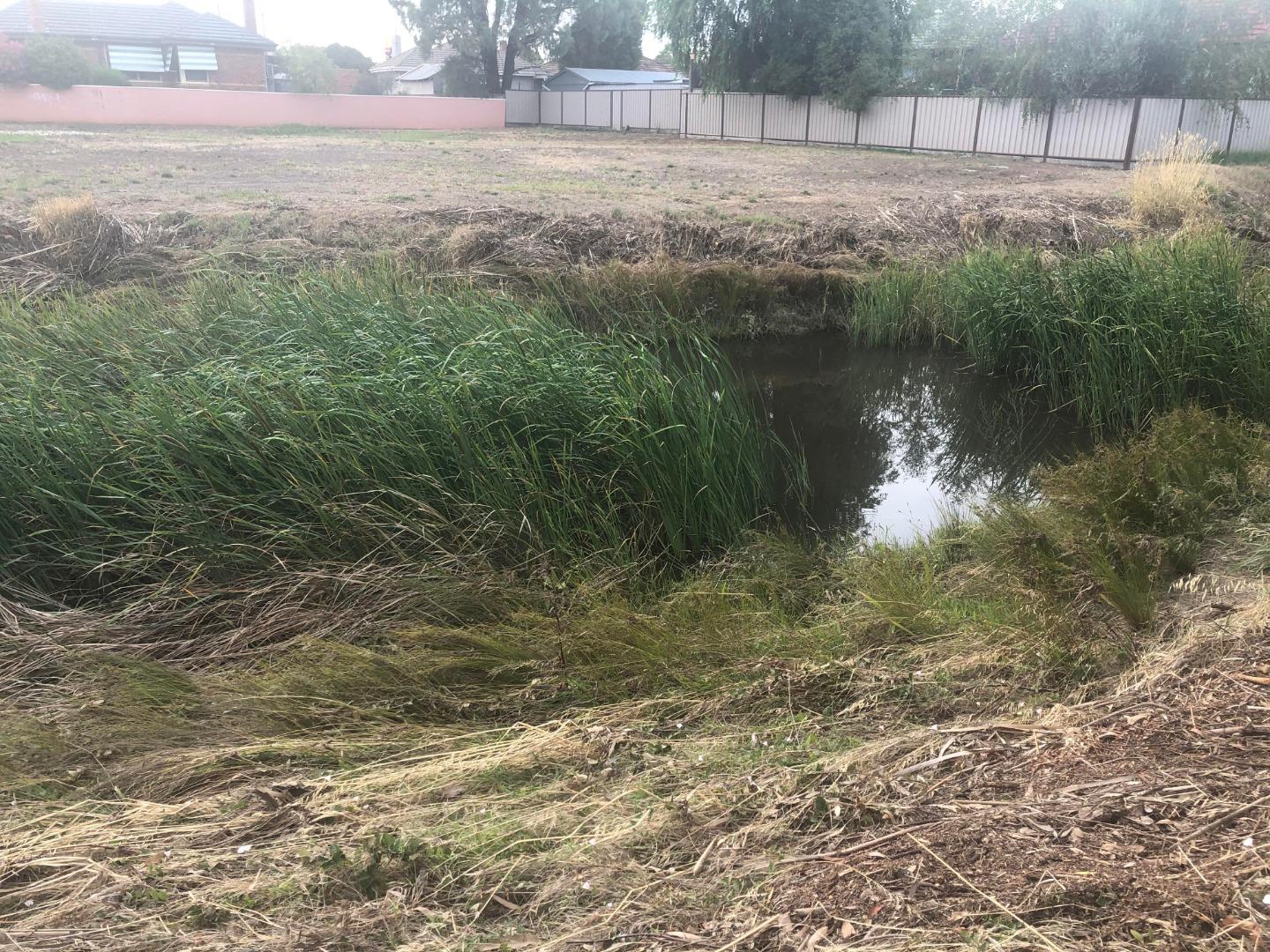
NC_BGO011 Bendigo Creek Lockwood Road (upstream side of bridge)
Site details
Overview
| Site code | NC_BGO011 |
|---|---|
| Site name | Bendigo Creek Lockwood Road (upstream side of bridge) |
| Status | Active |
| Water Authority | North Central |
| Basin | Loddon River |
| Catchment | Loddon River |
| Sub catchment | Bendigo Creek |
| Reach | 7_44 Bendigo Creek |
| Water type | Creek |
| Council | Greater Bendigo City Council |
| History | View all 33 site visits 23-01-2019 - 10-02-2024 |
| Monitoring organisations |
|
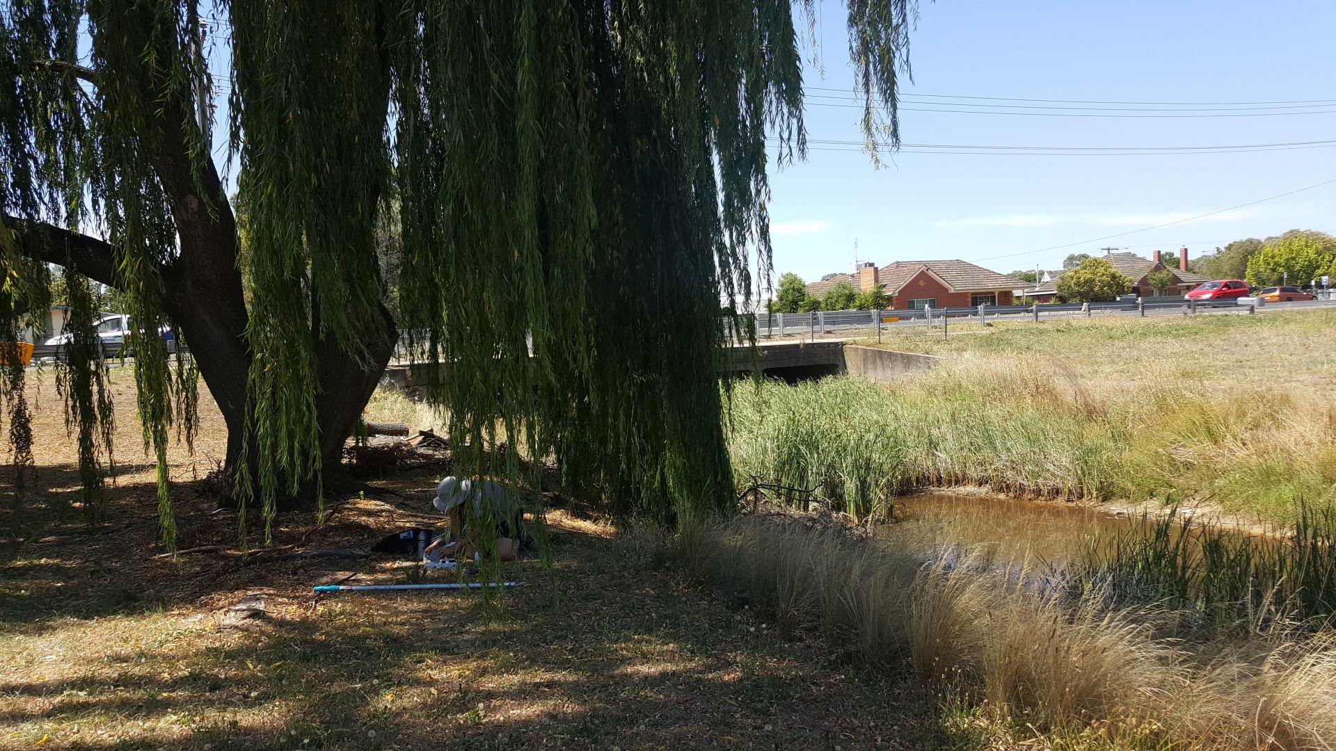
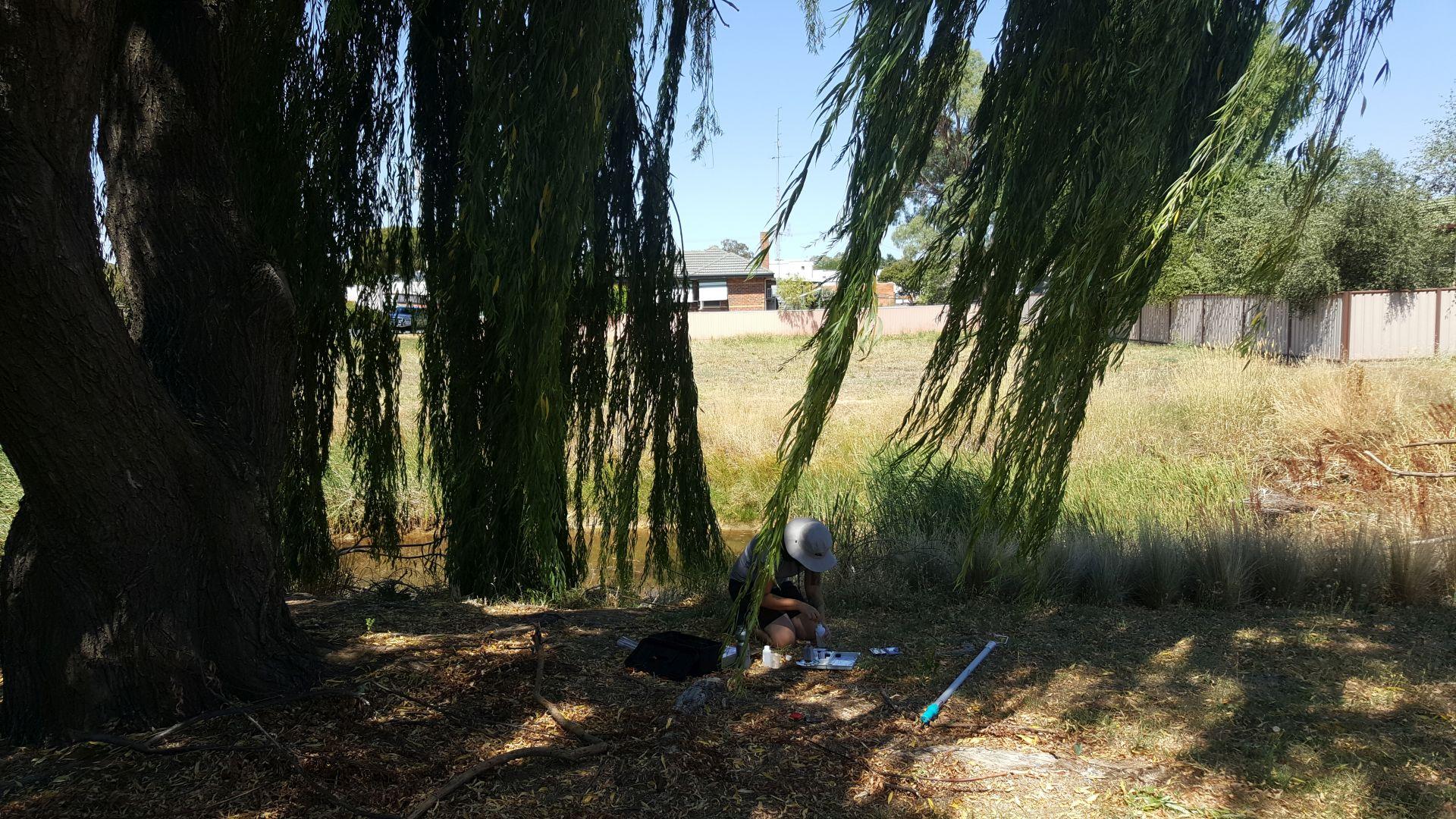
Site visits
 Loading chart
| Date | EC µS/cm | pH pH Units | rP mg/L P | Air ° C | Water ° C | Turb NTU |
|---|---|---|---|---|---|---|
| 29-04-2022 | 934 | 7 | 0.1 | 19 | 16.5 | 12 |
| 20-08-2022 | 1630 | 7.1 | 0.07 | 11 | 10 | 27 |
| 22-09-2022 | 2490 | 7.3 | 0.07 | 20 | 12.5 | 9 |
| 31-10-2022 | 1556 | 7.2 | 0.03 | 18 | 16.5 | 9 |
| 18-11-2022 | 7.4 | 0.07 | 22 | 18.5 | 9 | |
| 22-12-2022 | 3890 | 7.6 | 0.05 | 23.5 | 18.5 | 9 |
| 15-03-2023 | 763 | 7.8 | 0.1 | 25 | 21.5 | 9 |
| 17-06-2023 | 2170 | 7.2 | 0.05 | 12 | 9 | 9 |
| 02-09-2023 | 3880 | 7.7 | 0.05 | 14.5 | 9 | 9 |
| 26-10-2023 | 1439 | 7 | 0.05 | 15 | 10 | 9 |
| 25-11-2023 | 1187 | 6.9 | 0.07 | 18 | 17.5 | 80 |
| 30-12-2023 | 2590 | 7.4 | 0.2 | 17 | 16 | 10 |

All content, files, data and images provided by the Waterwatch Data Portal and Gallery are subject to a Creative Commons Attribution License
Content is made available to be used in any way, and should always attribute Waterwatch and www.vic.waterwatch.org.au
.png)