Waterwatch Data Portal
Site details
Overview
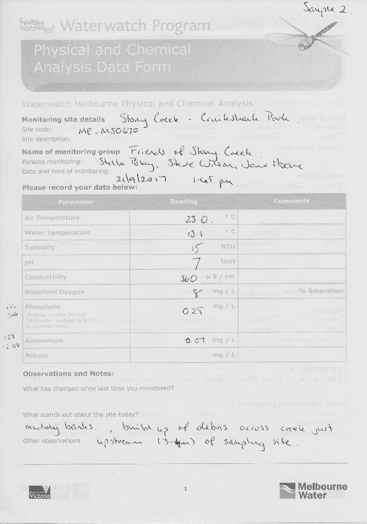
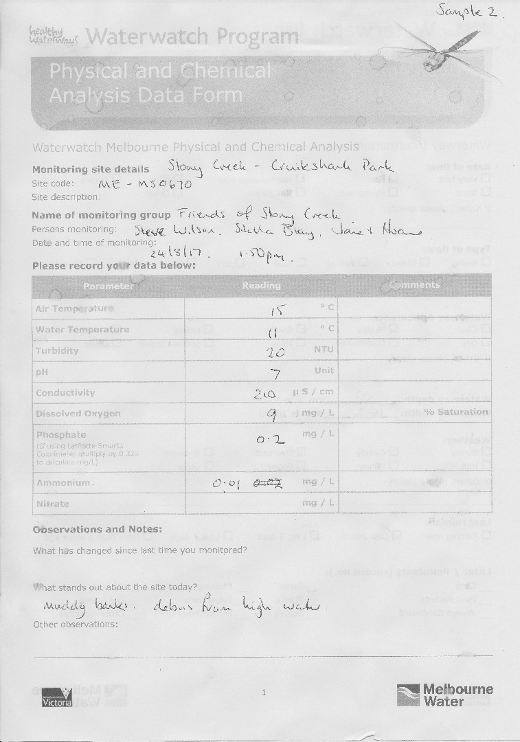
| Site code | ME_MSO670 |
|---|---|
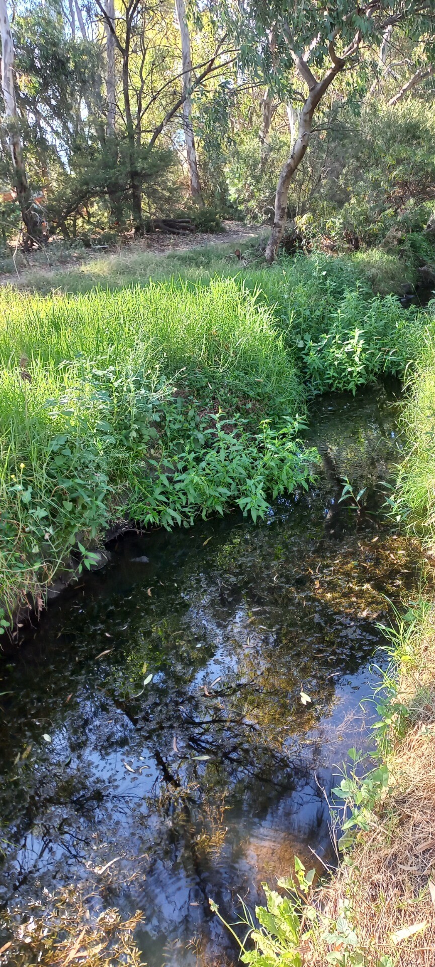
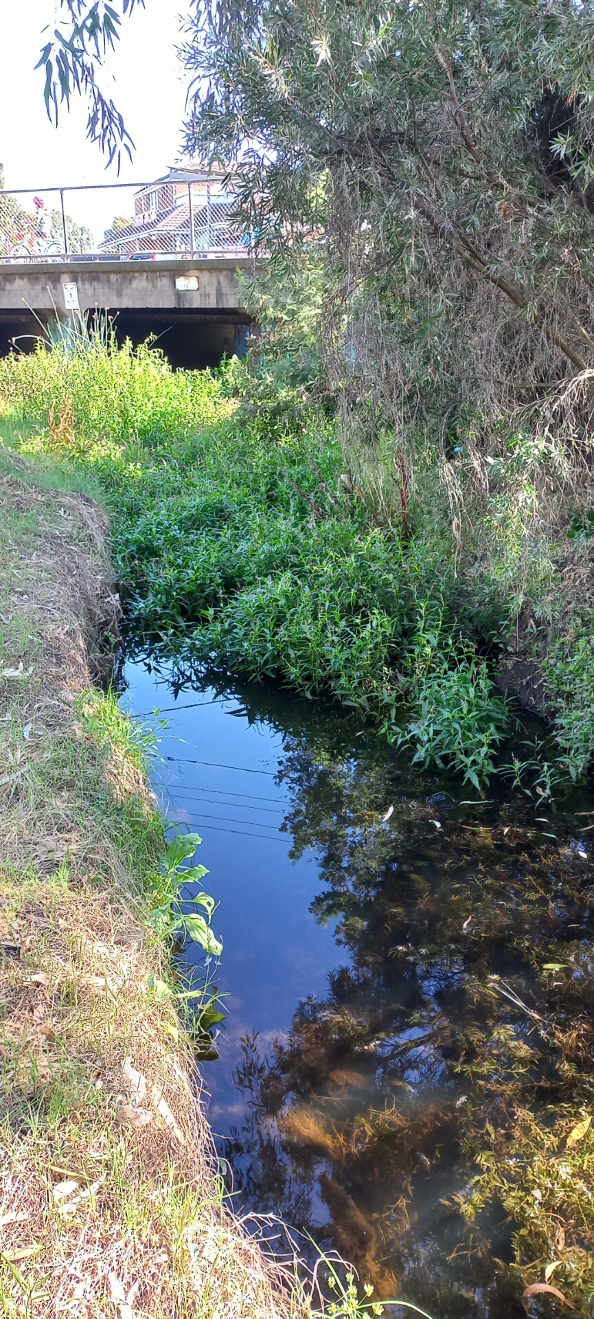
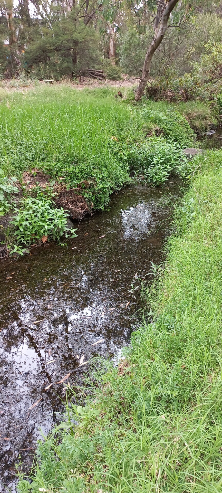
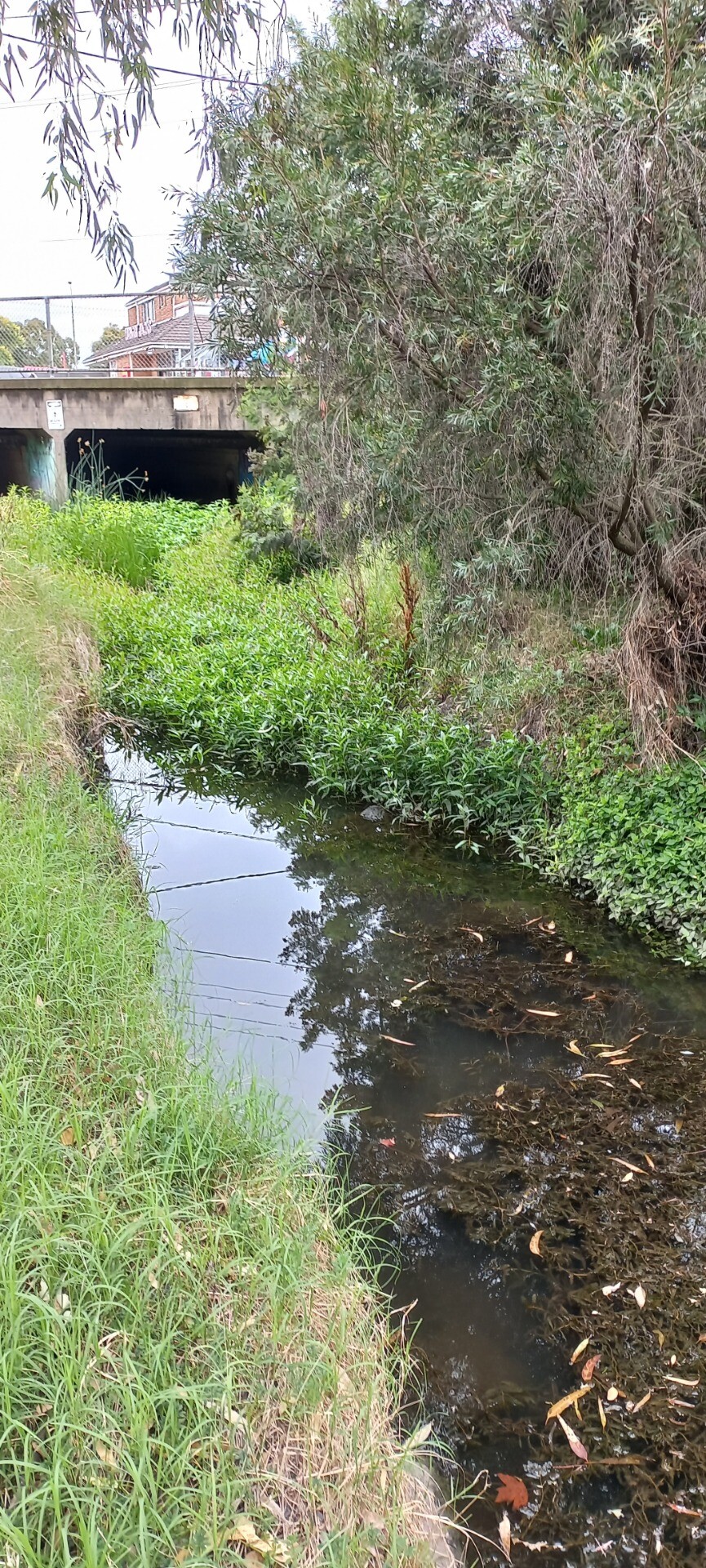
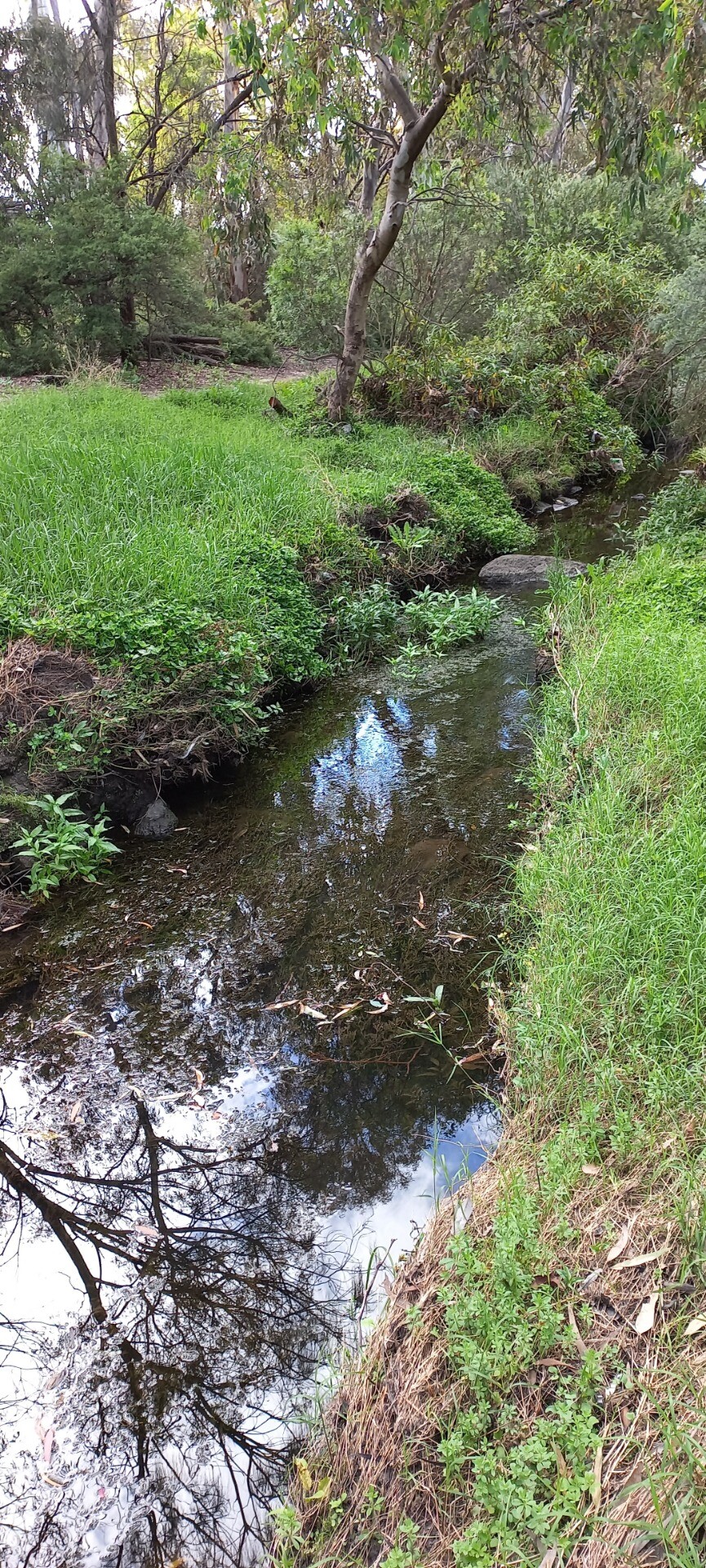
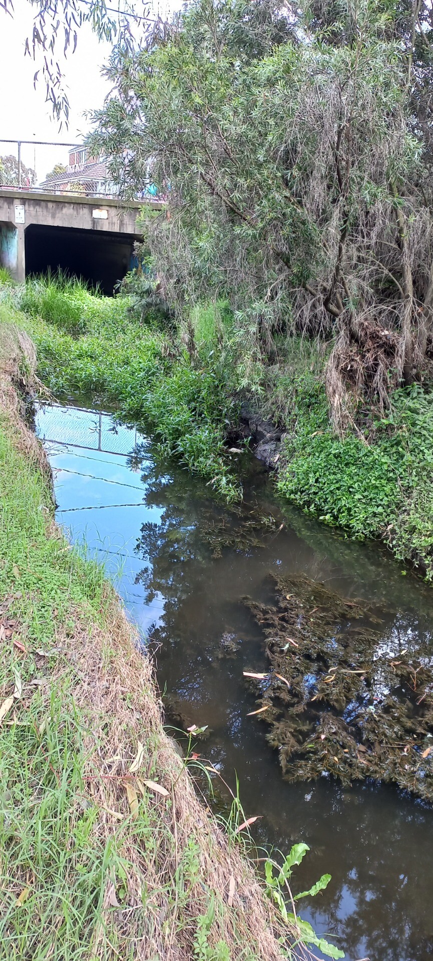
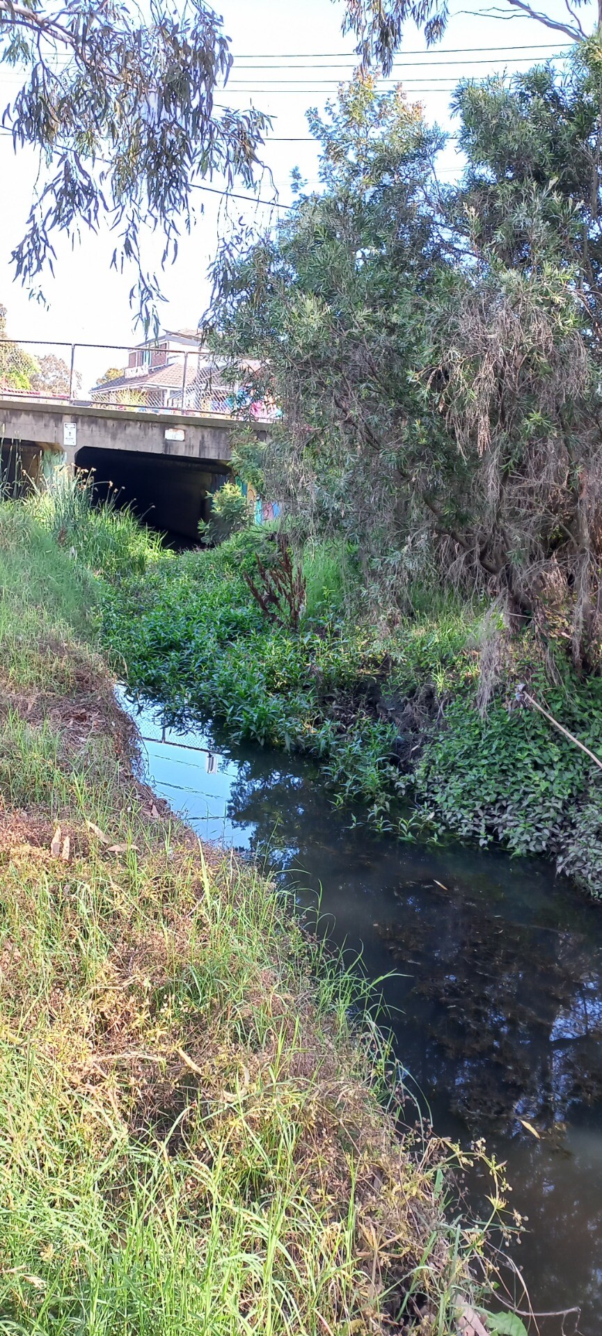
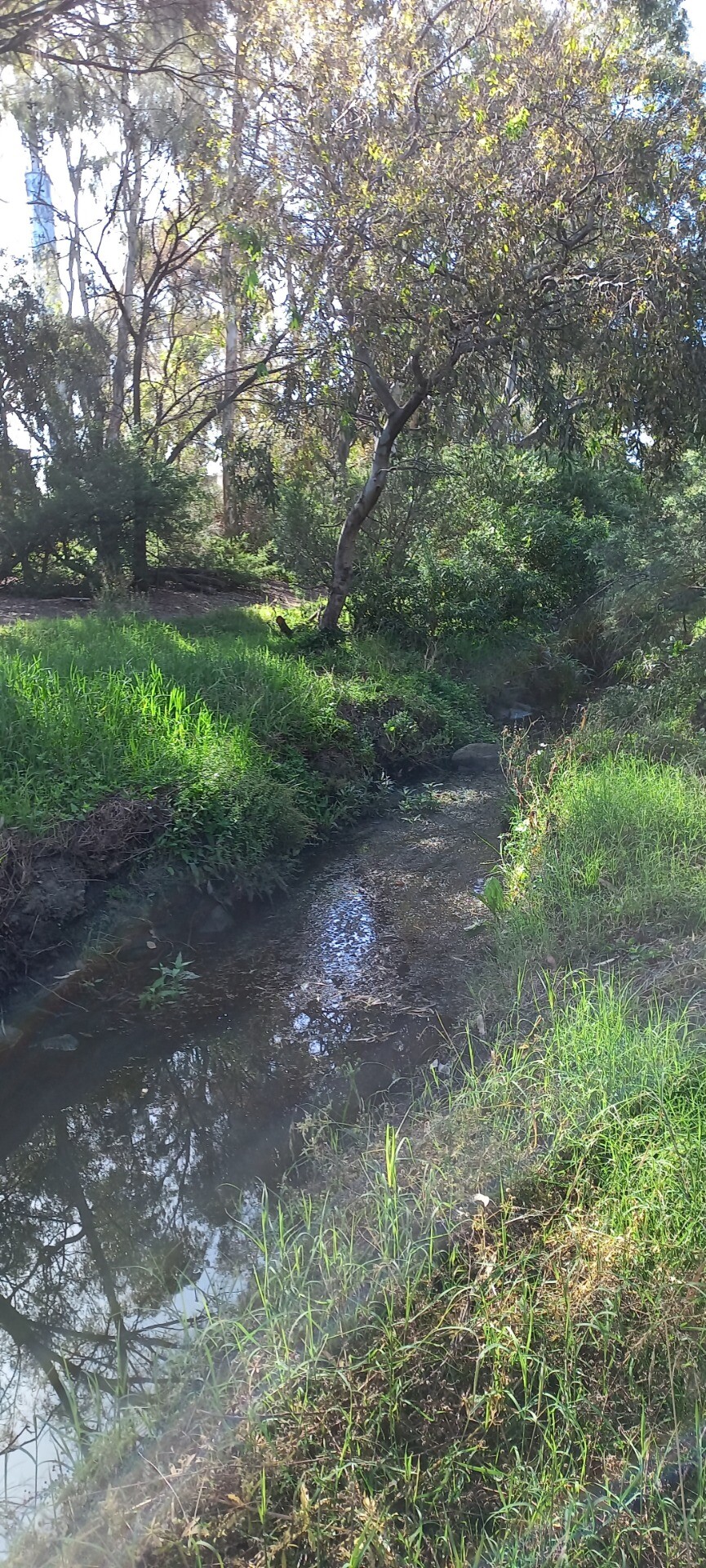
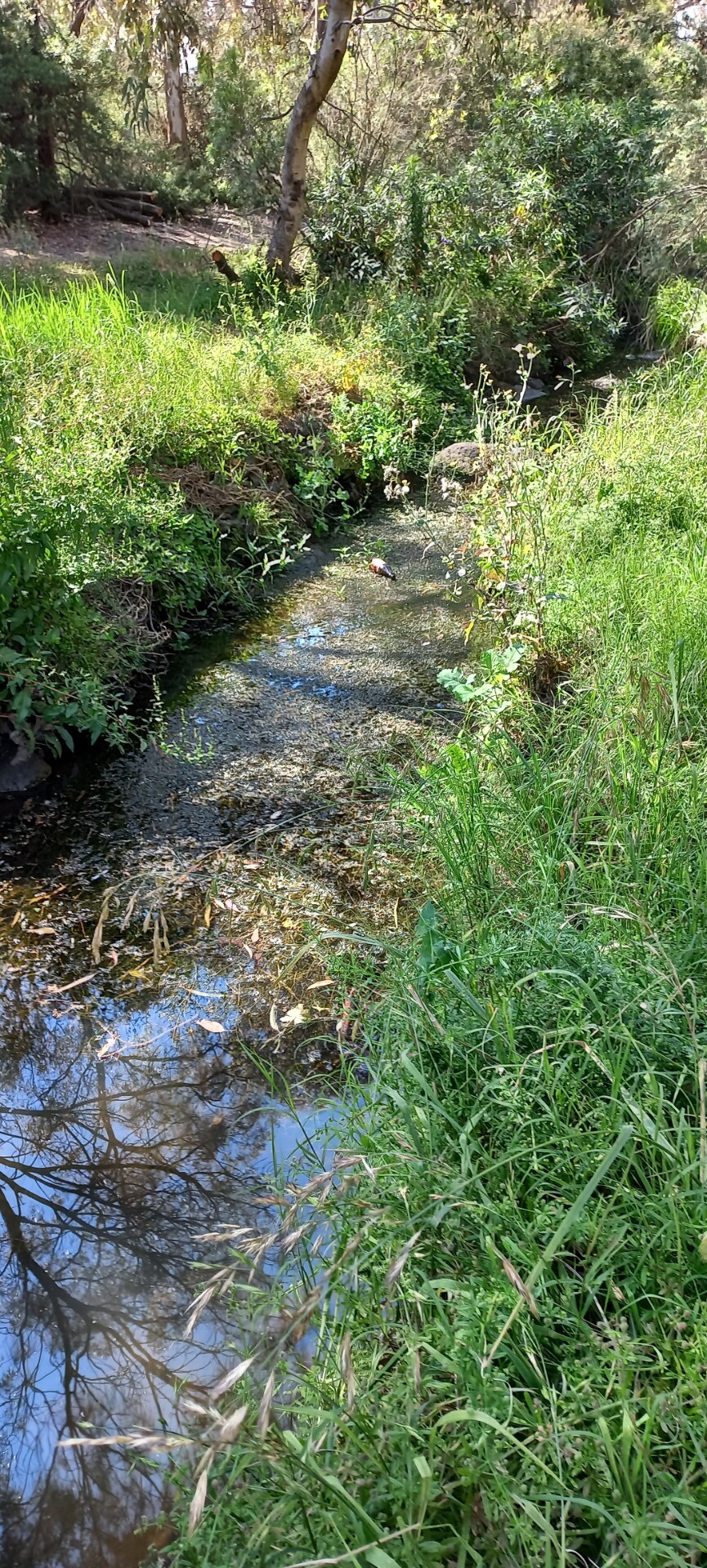
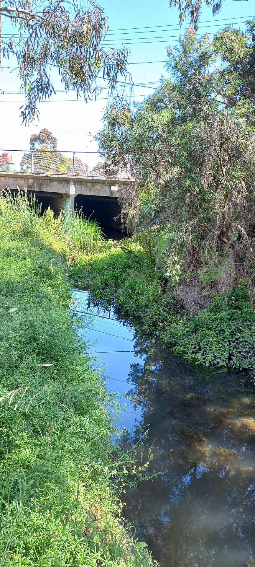
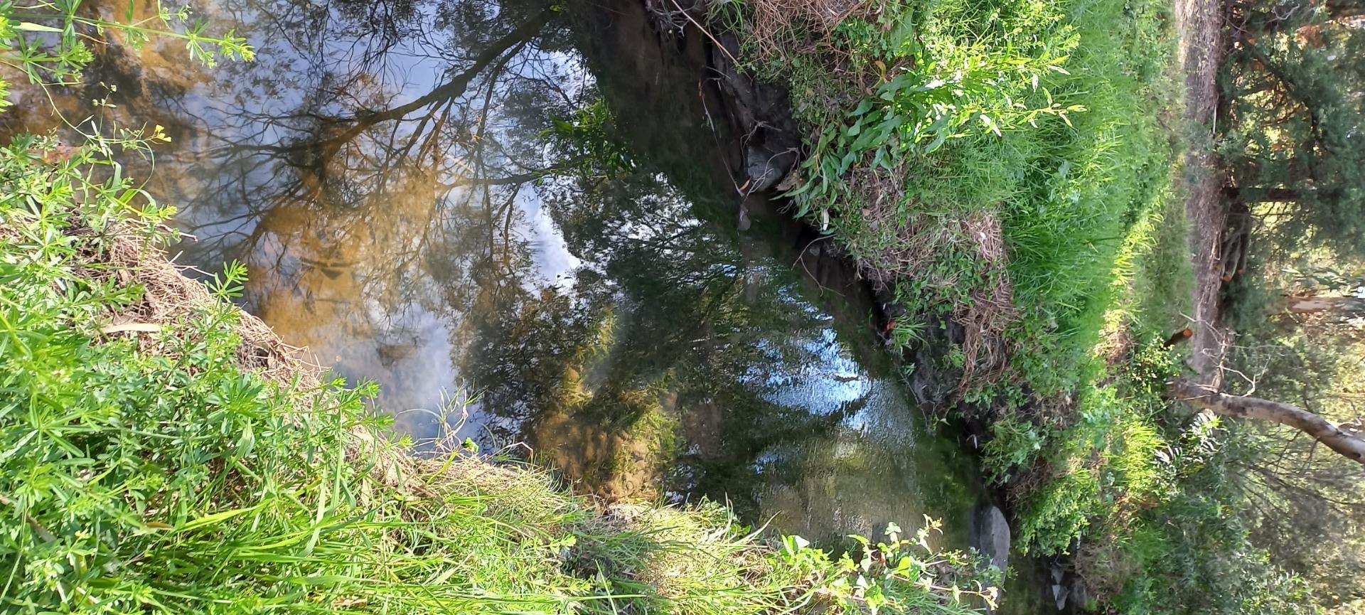
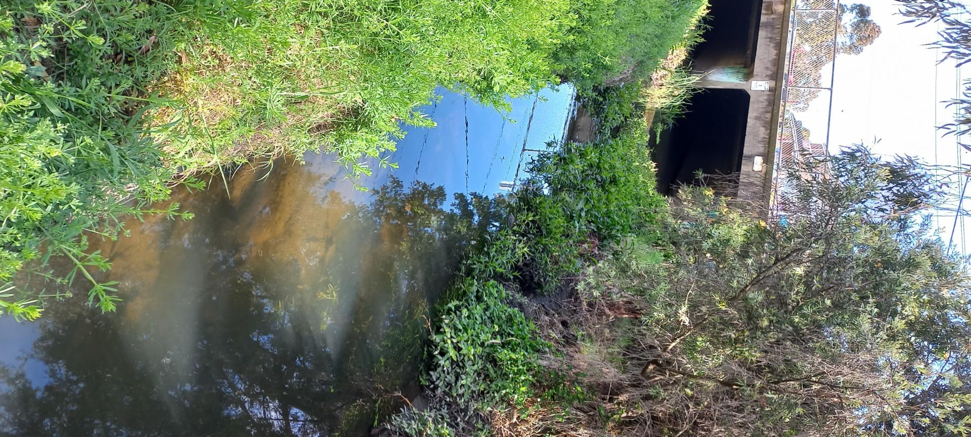
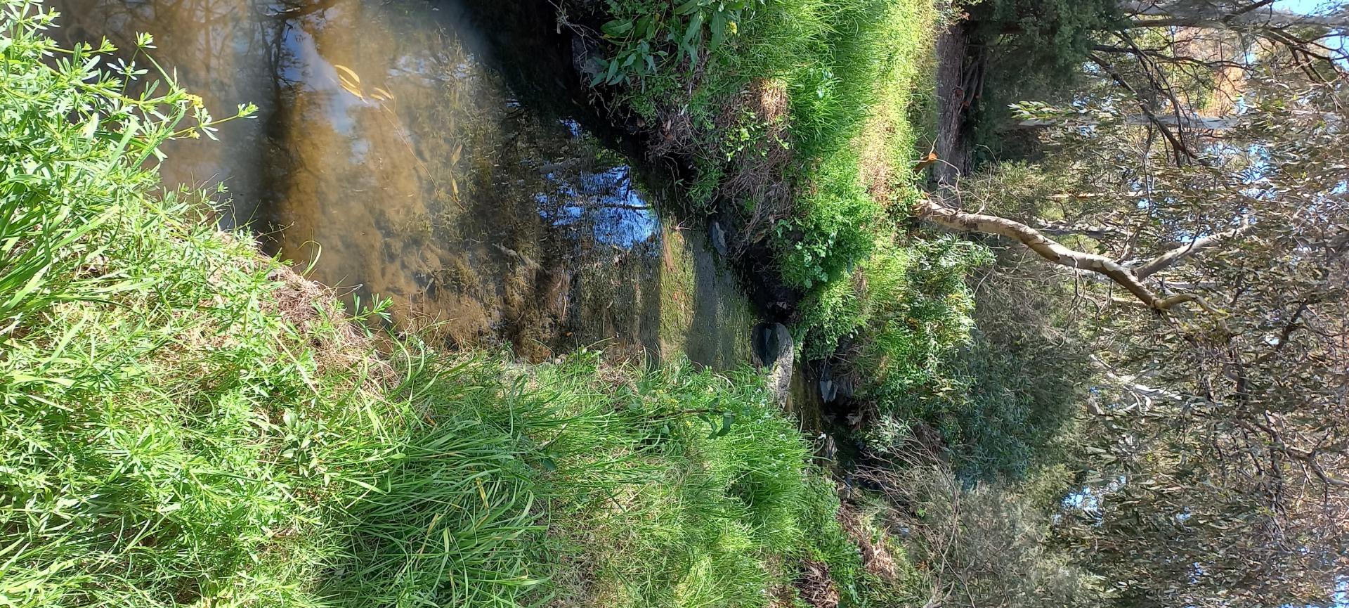
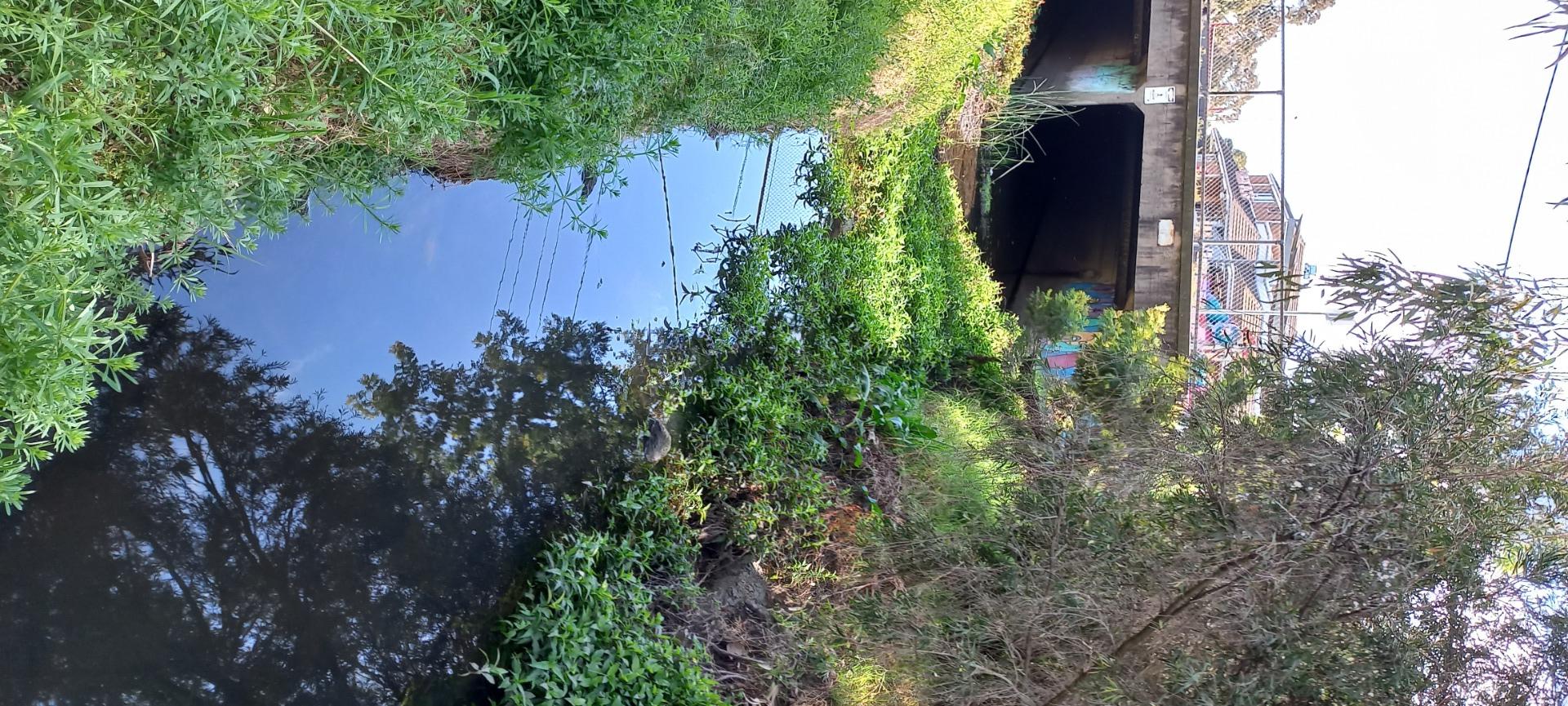
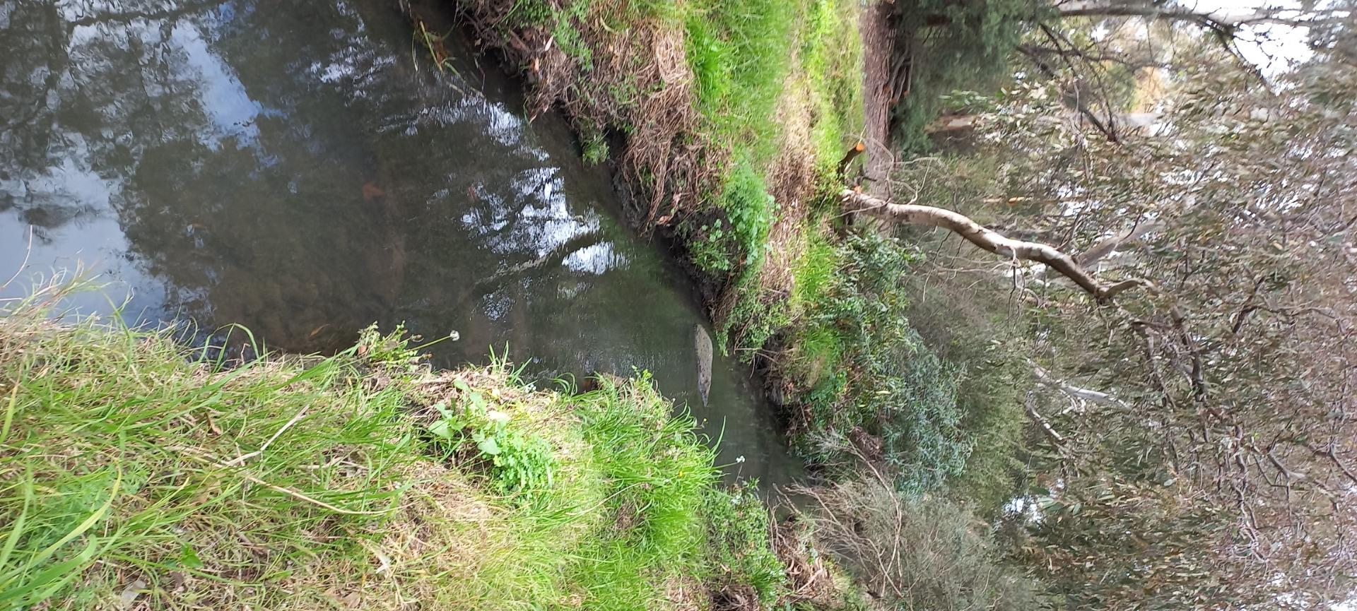
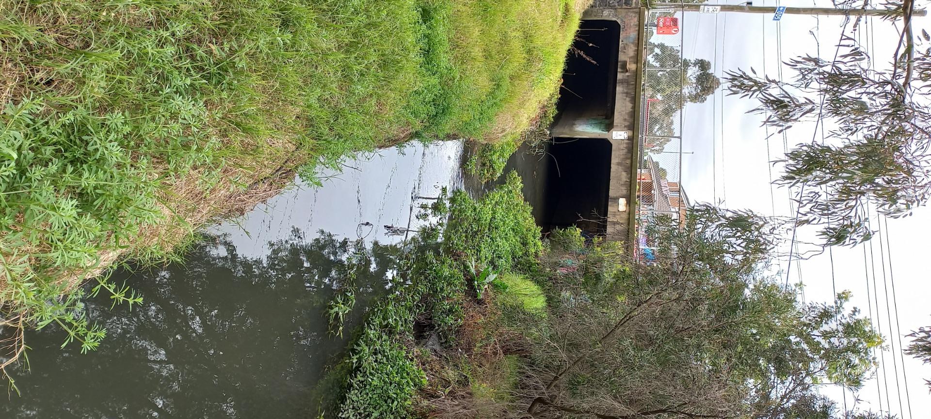
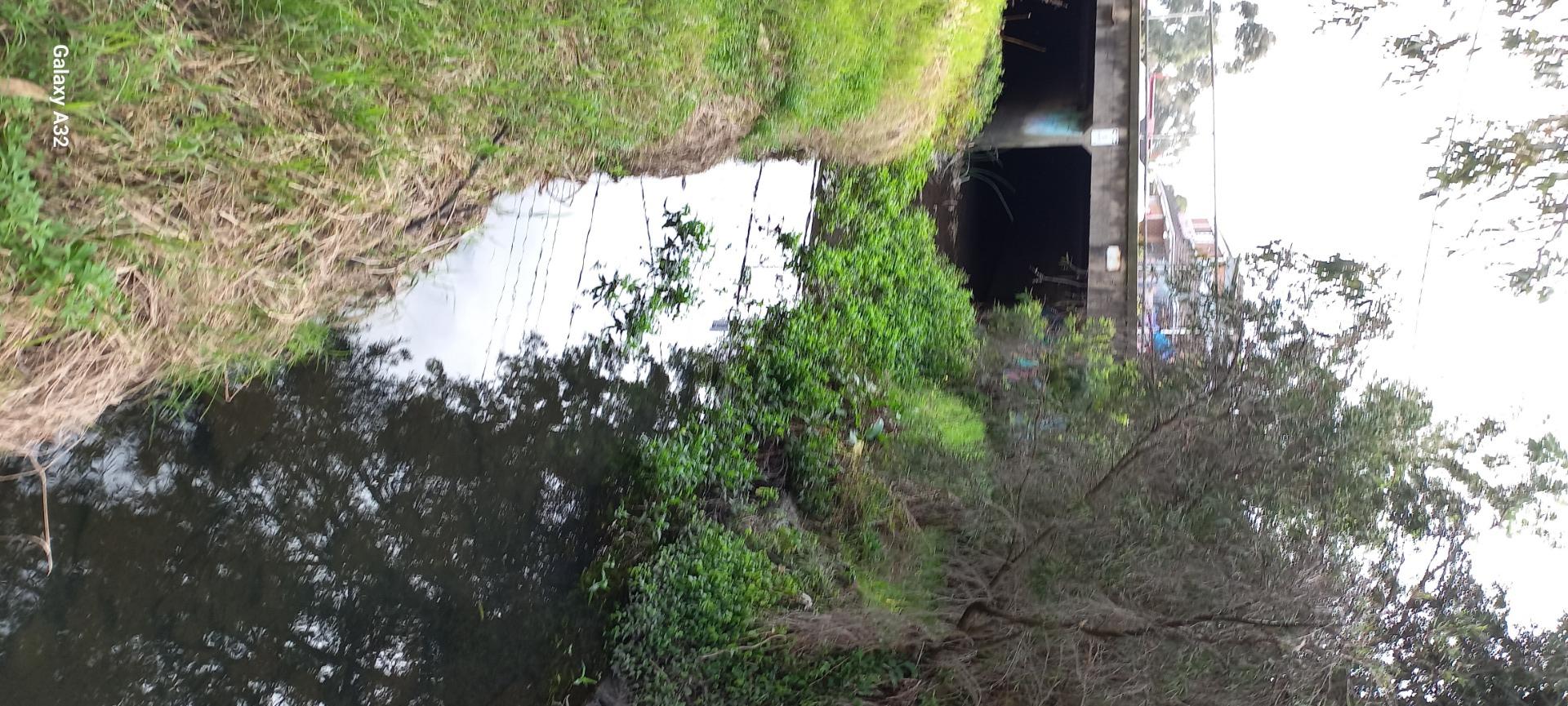
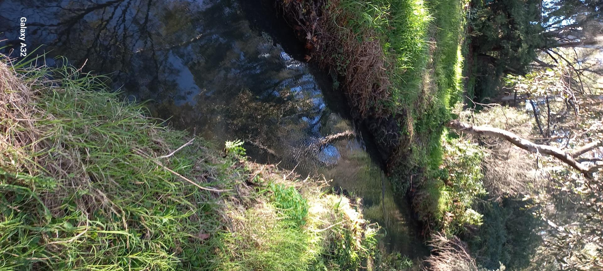
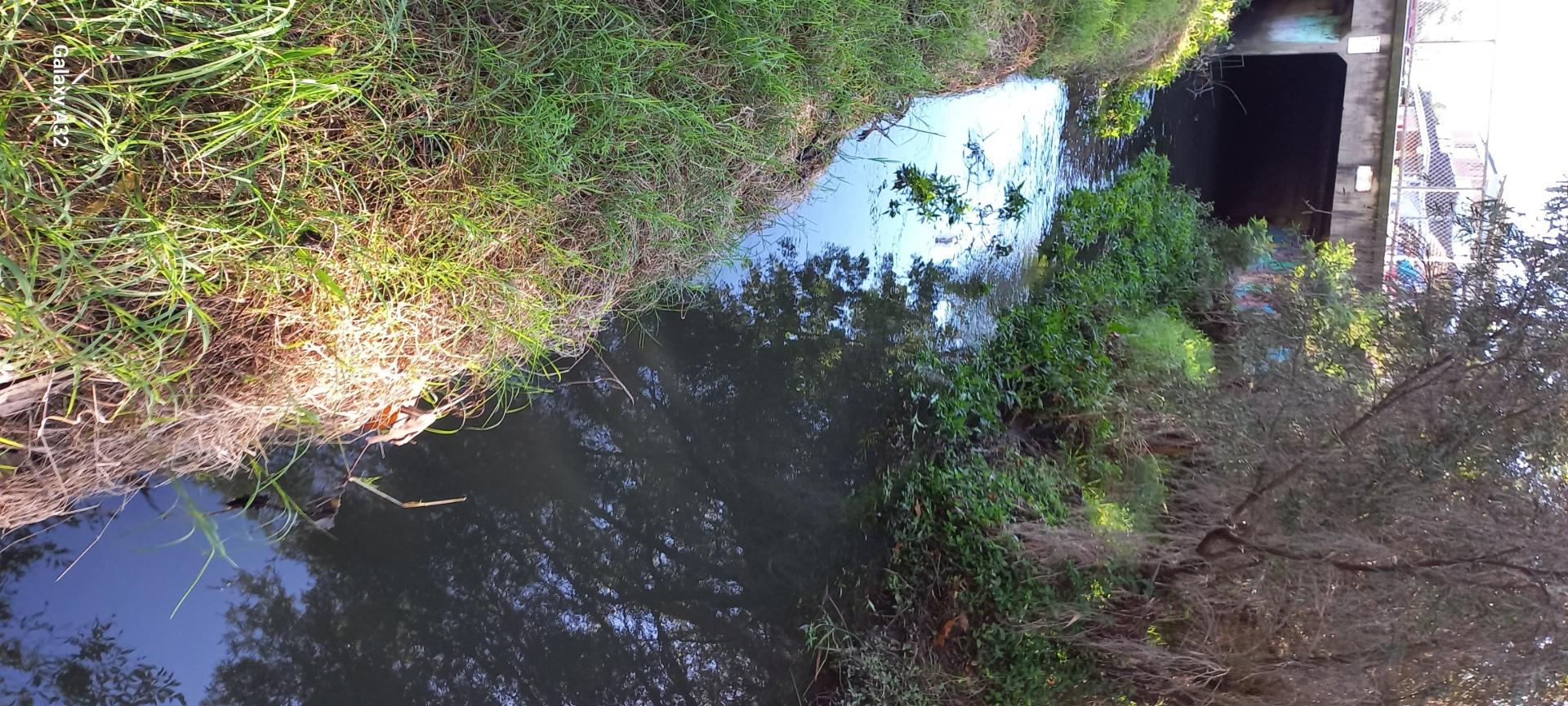
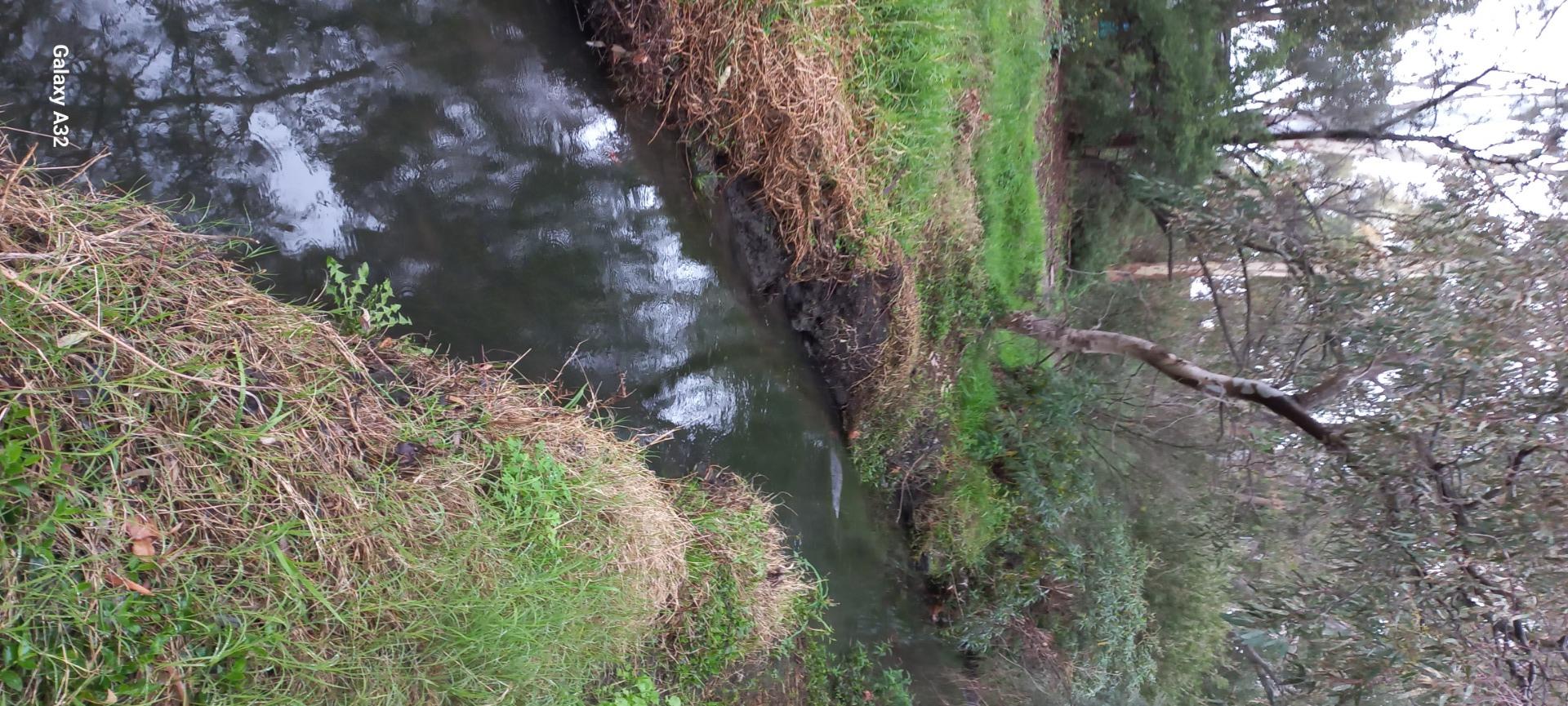
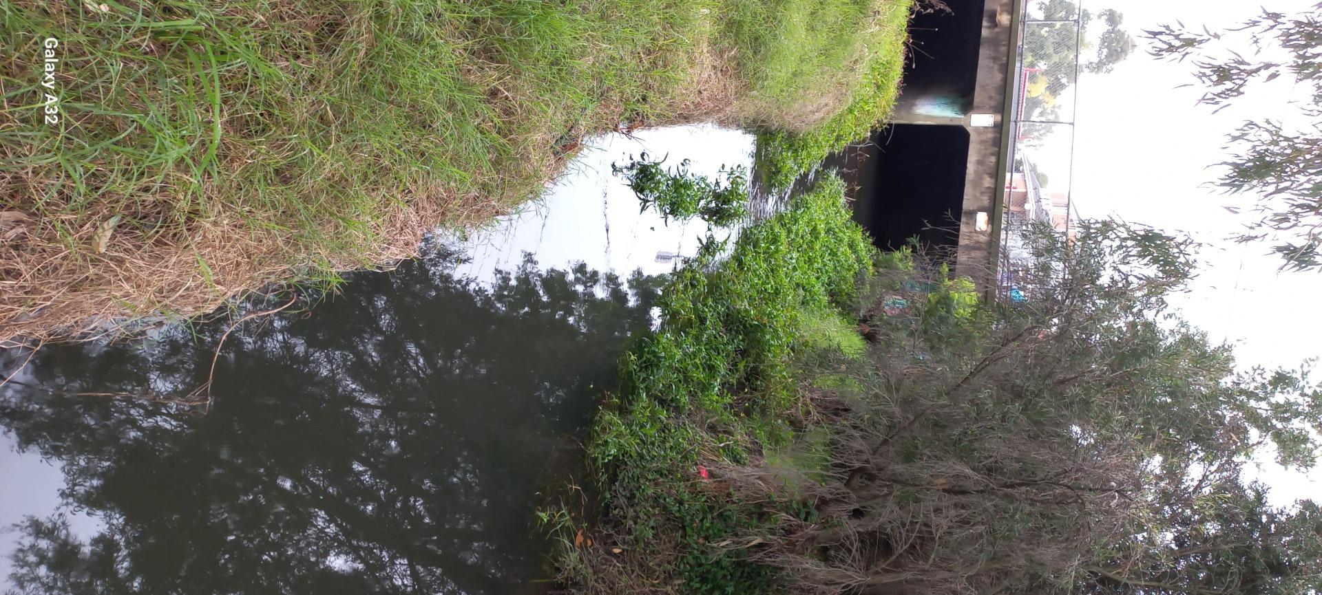
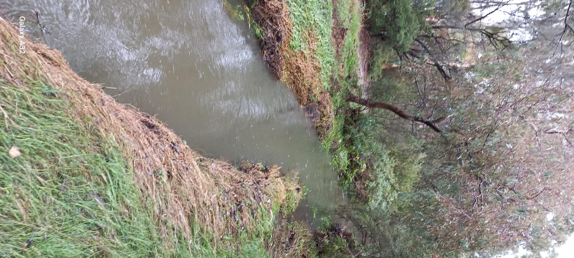
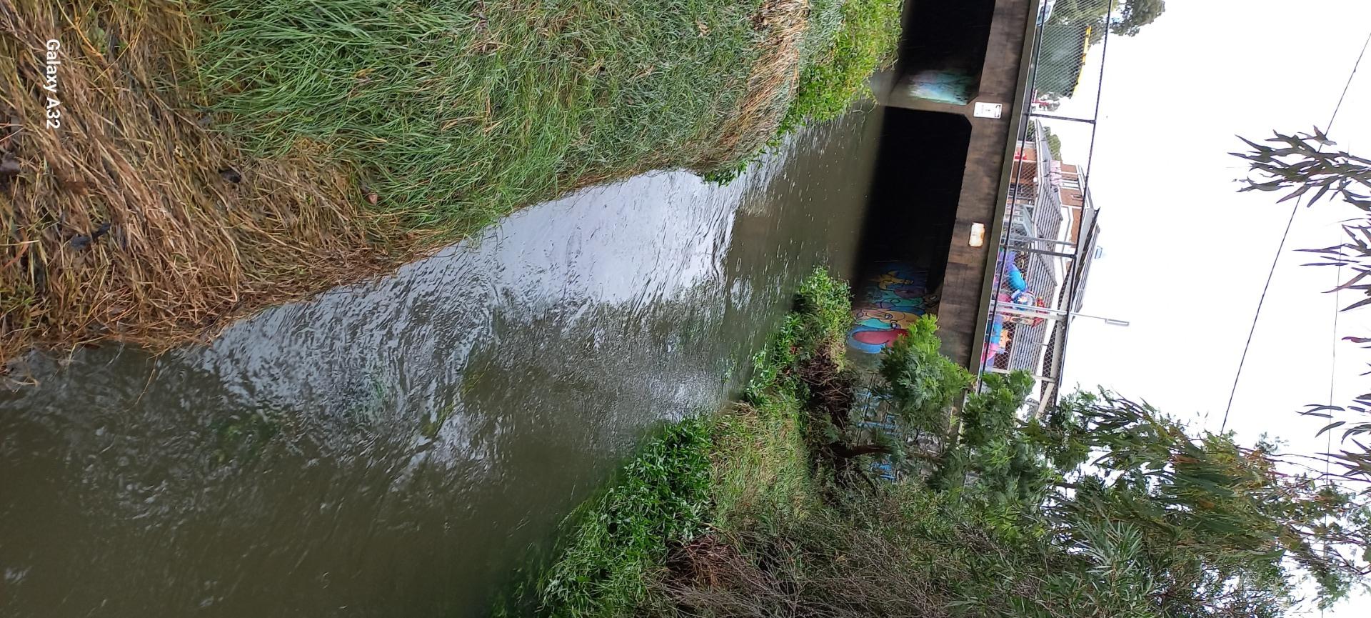
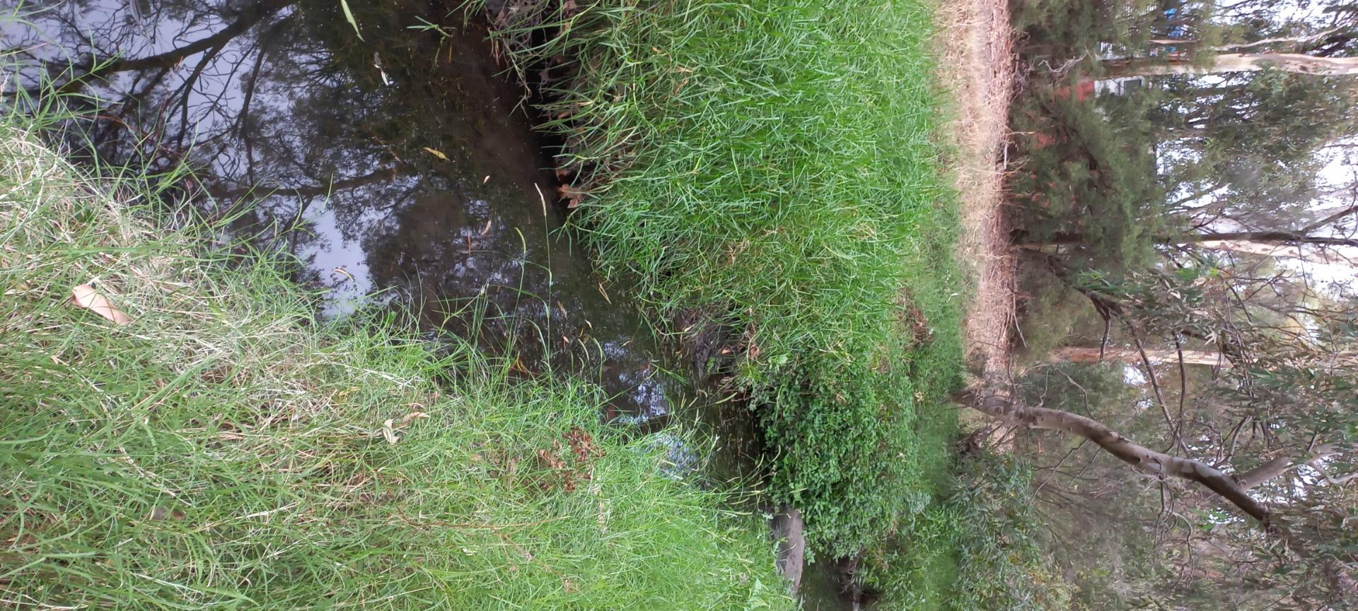
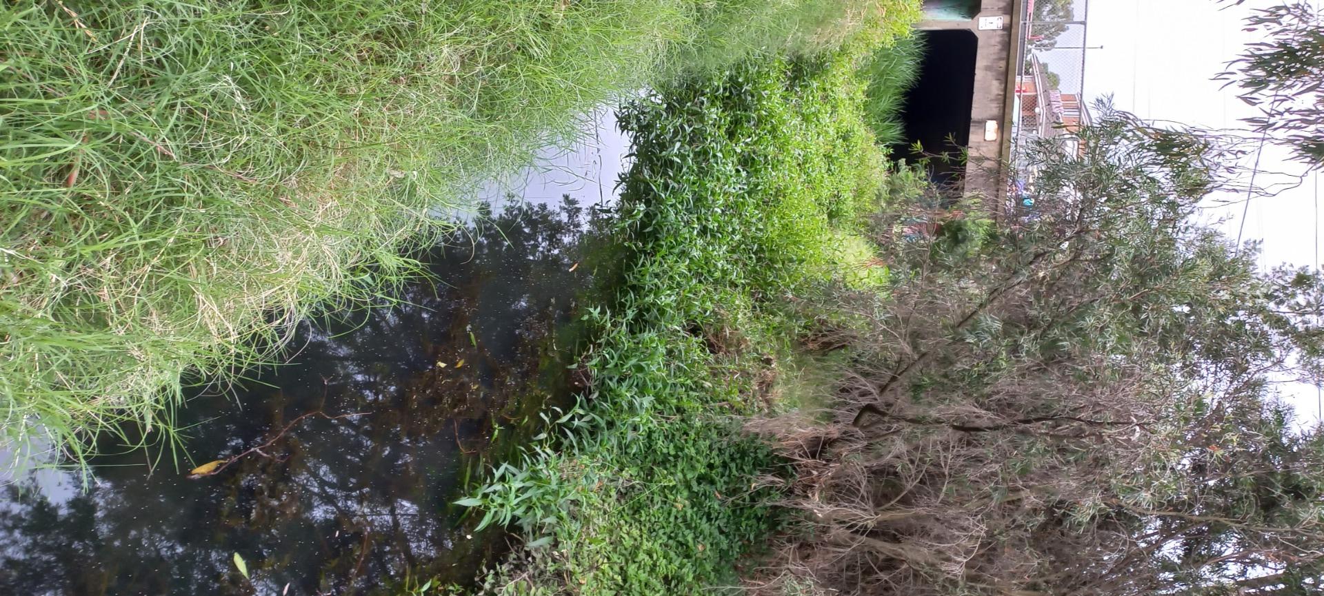
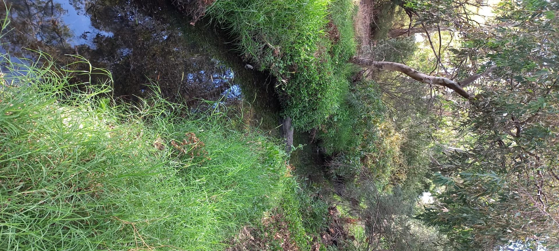
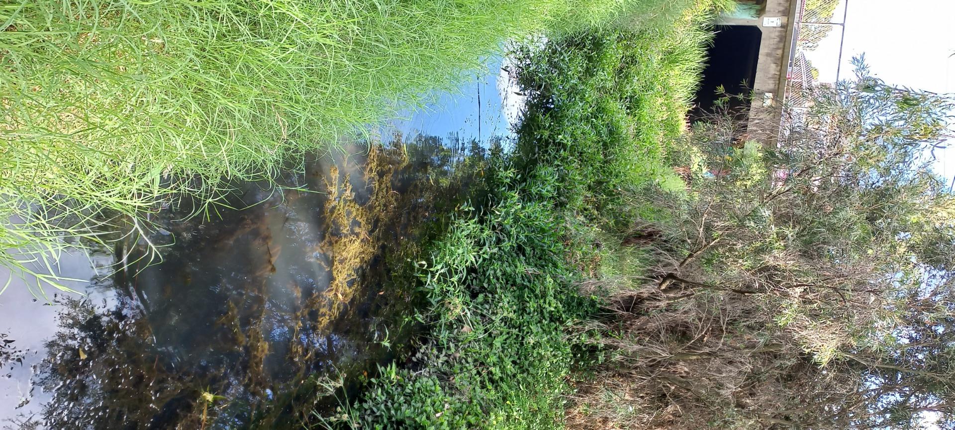
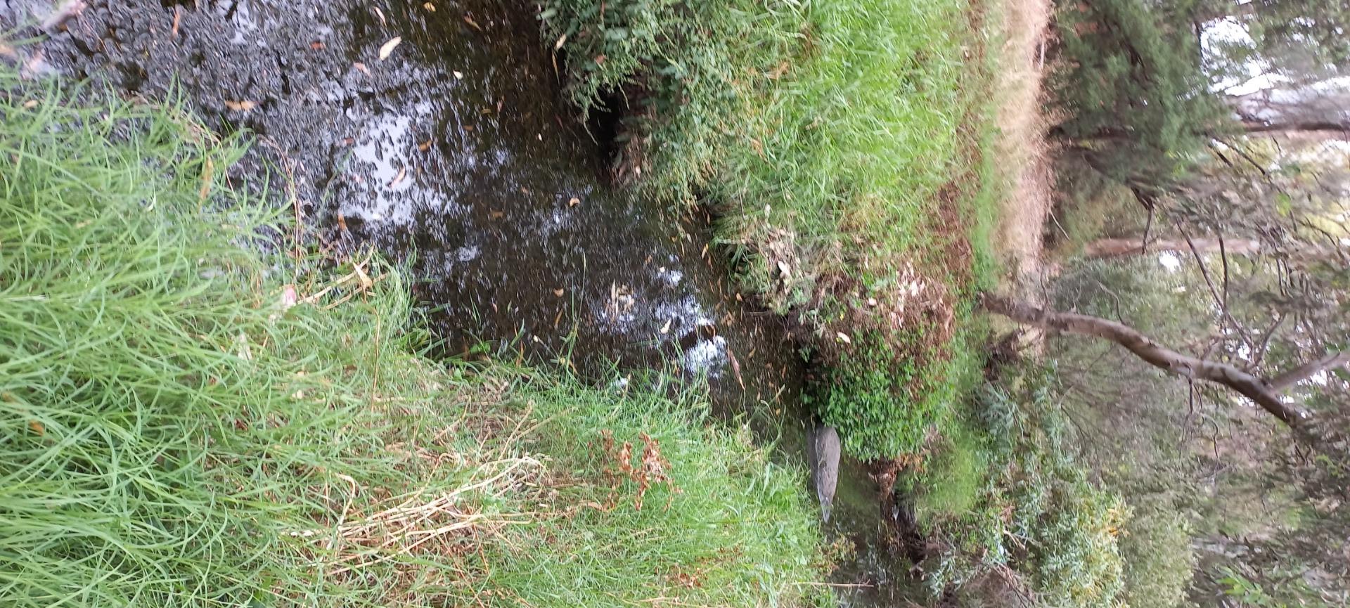
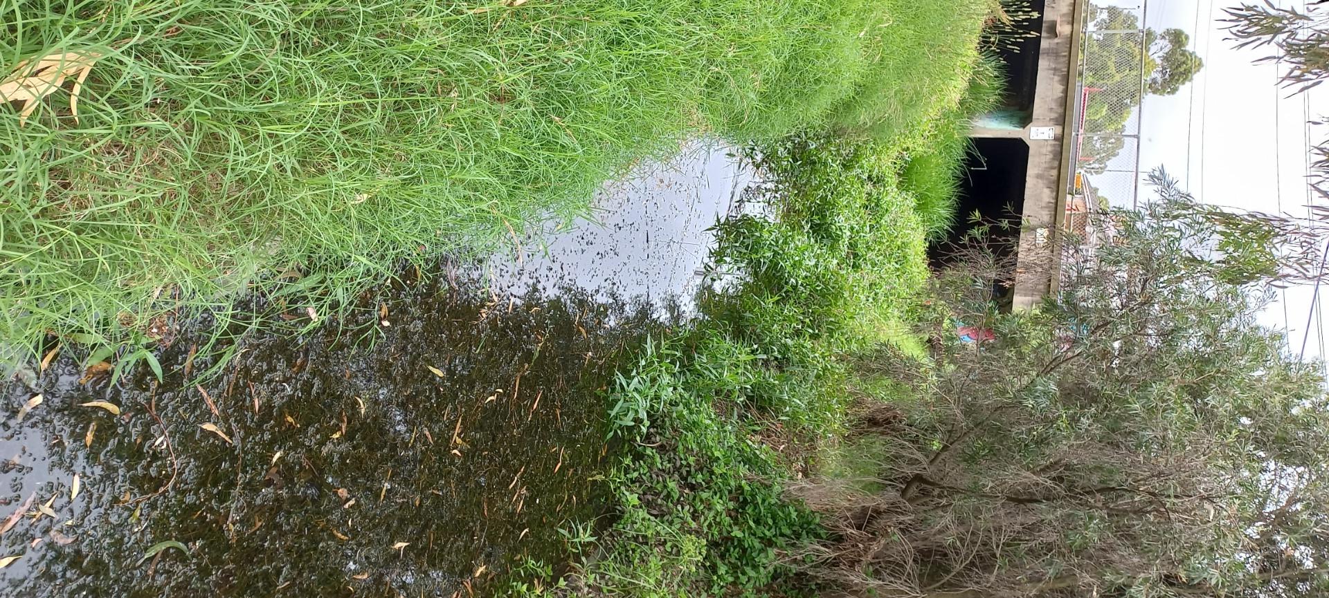
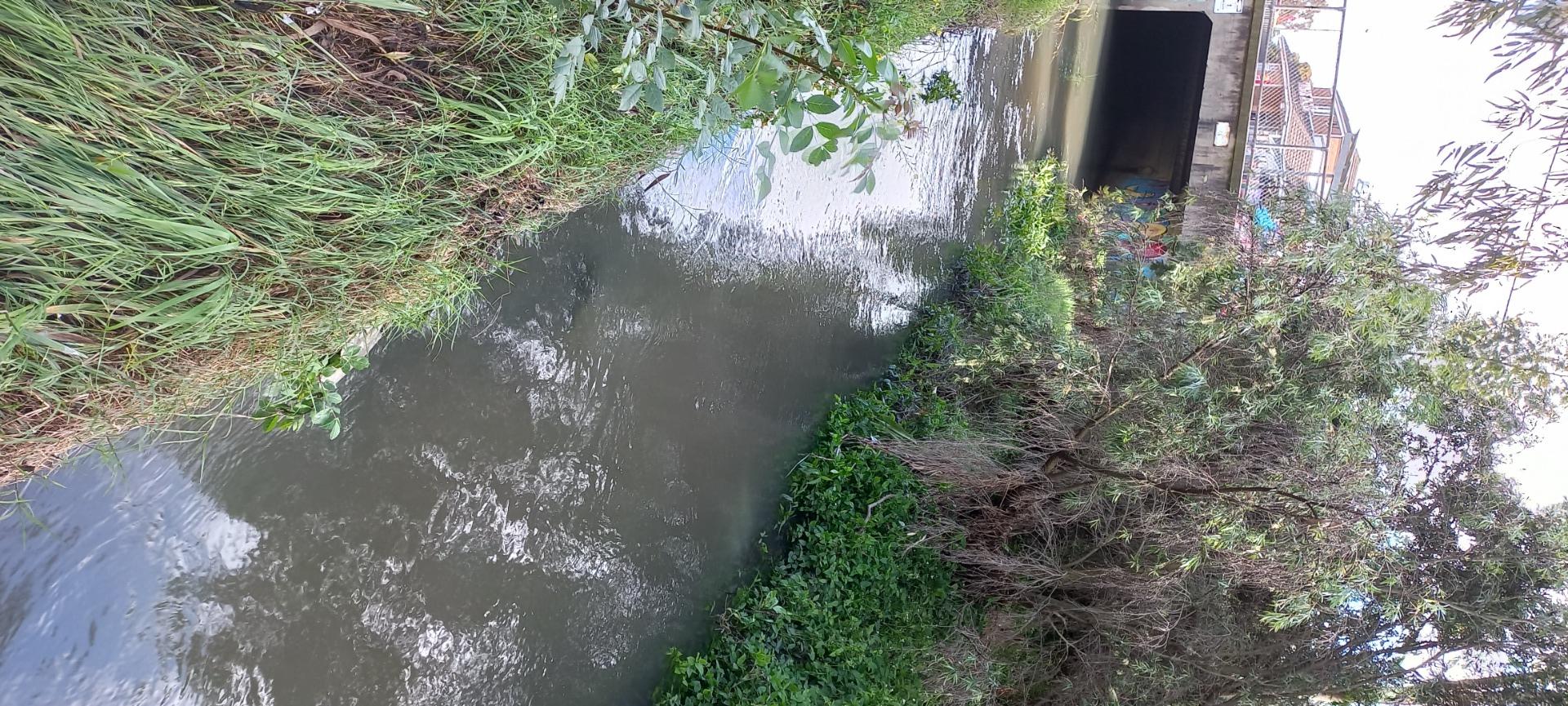
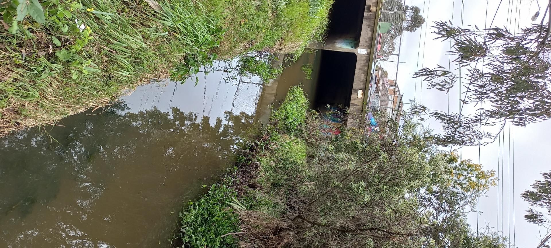
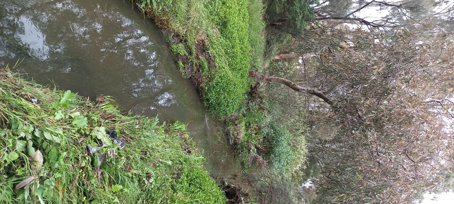
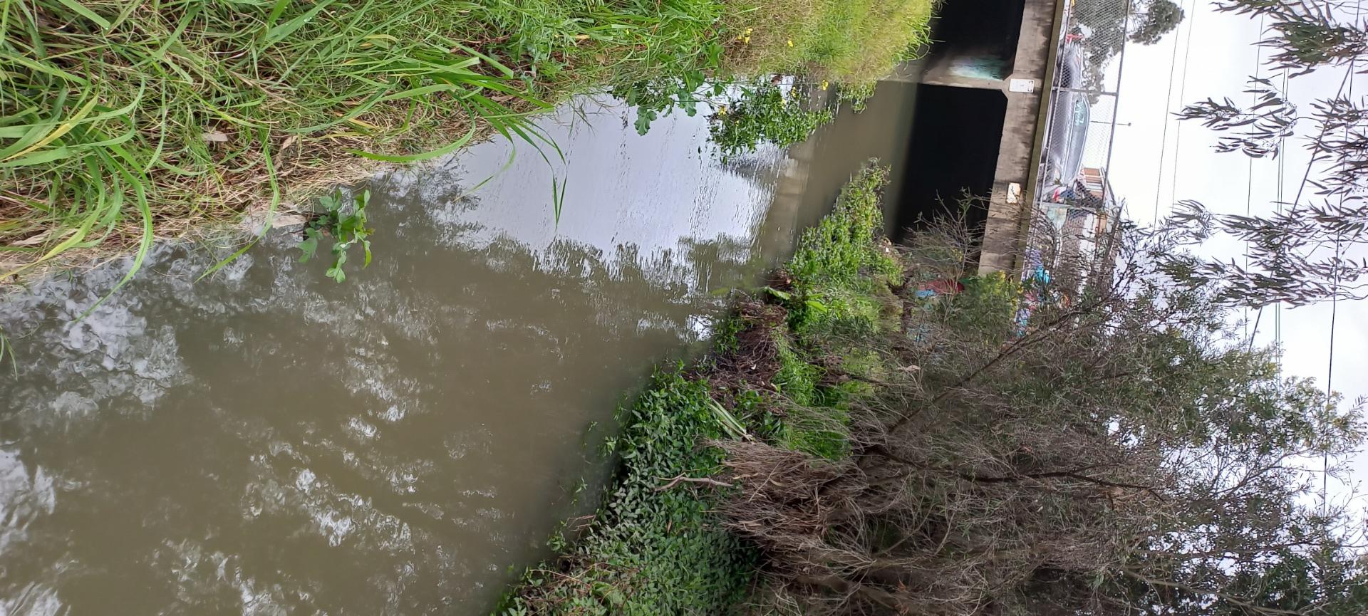
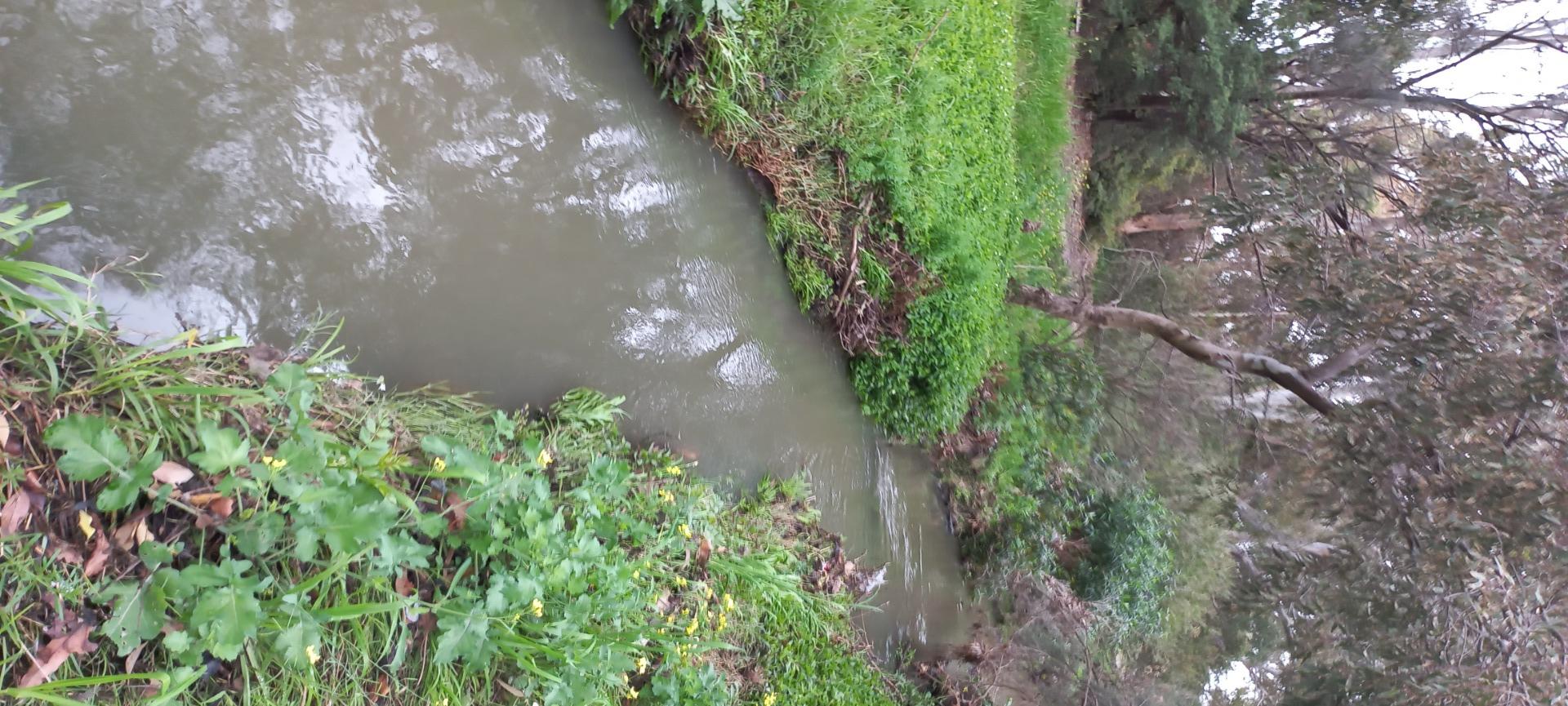
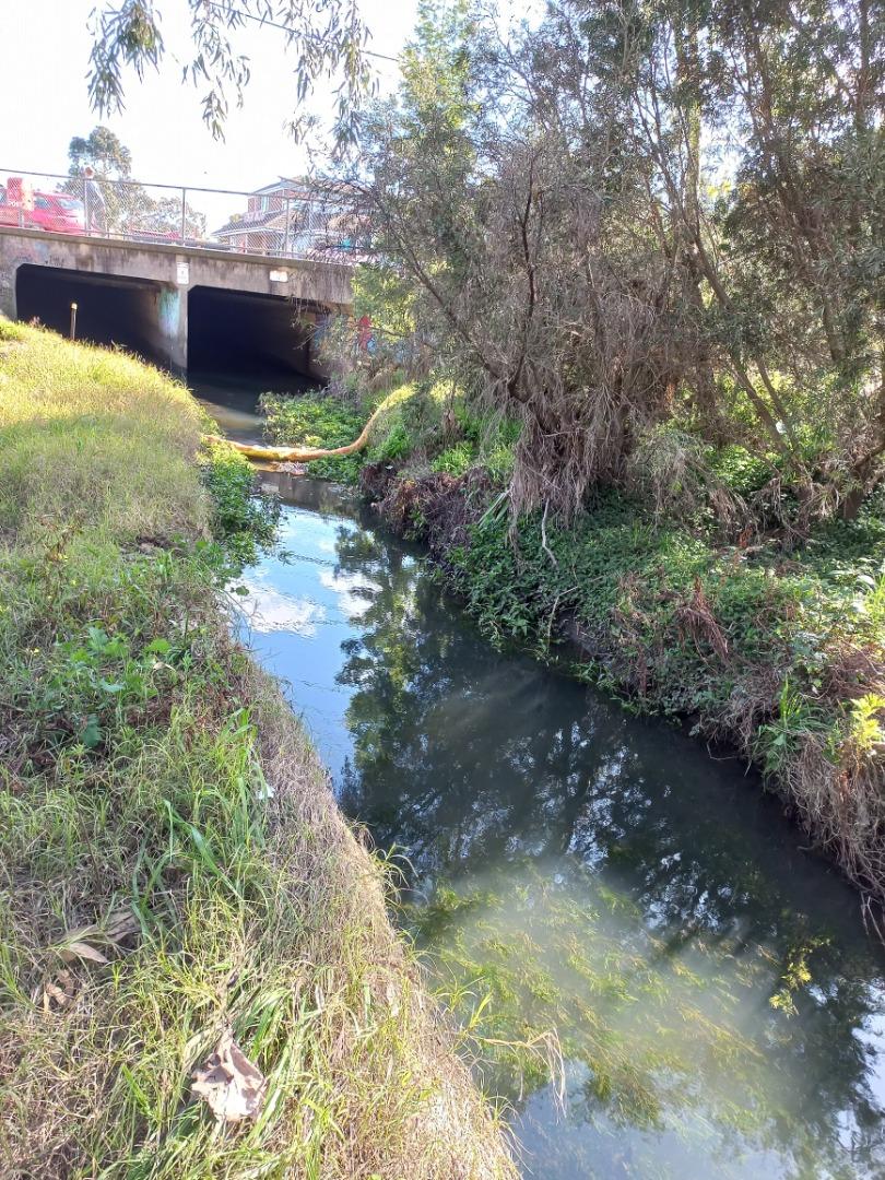
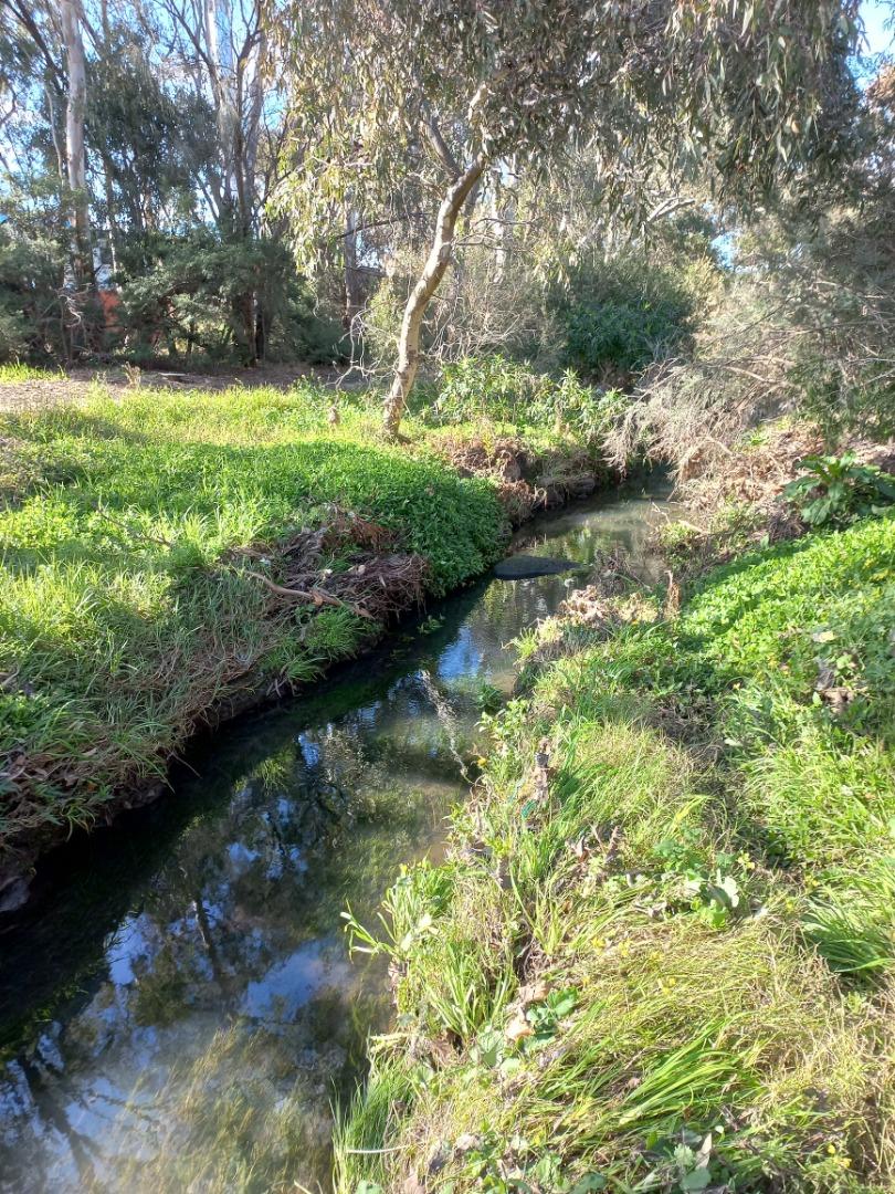
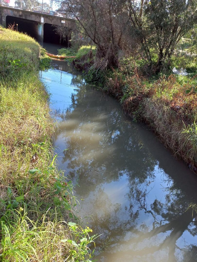
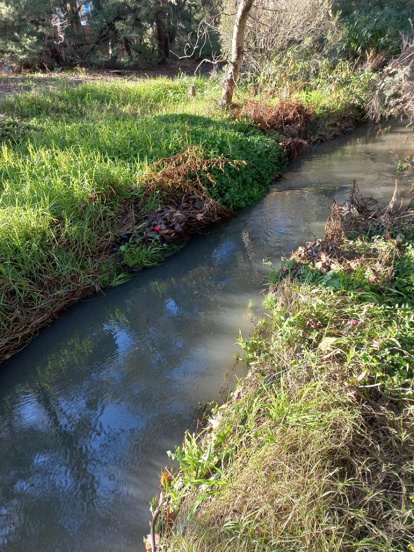
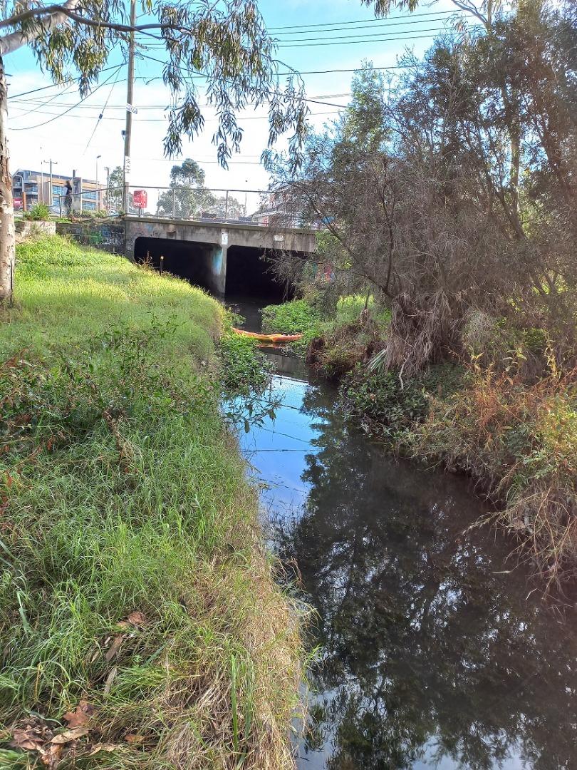
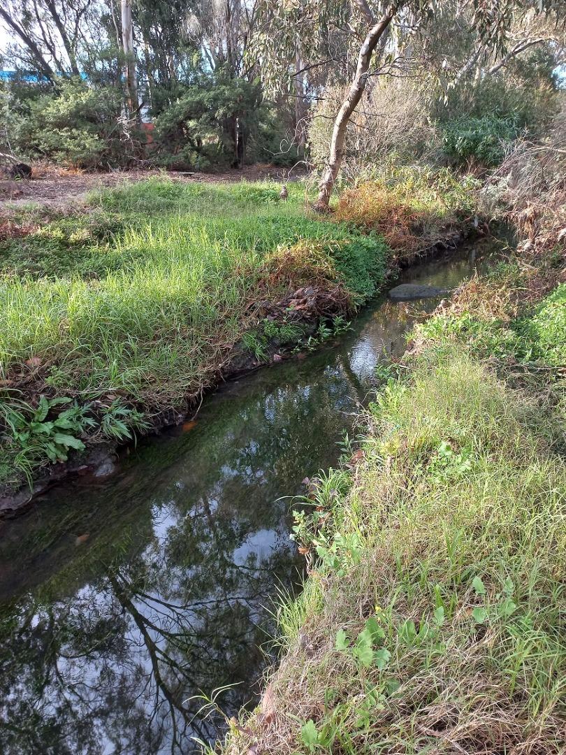
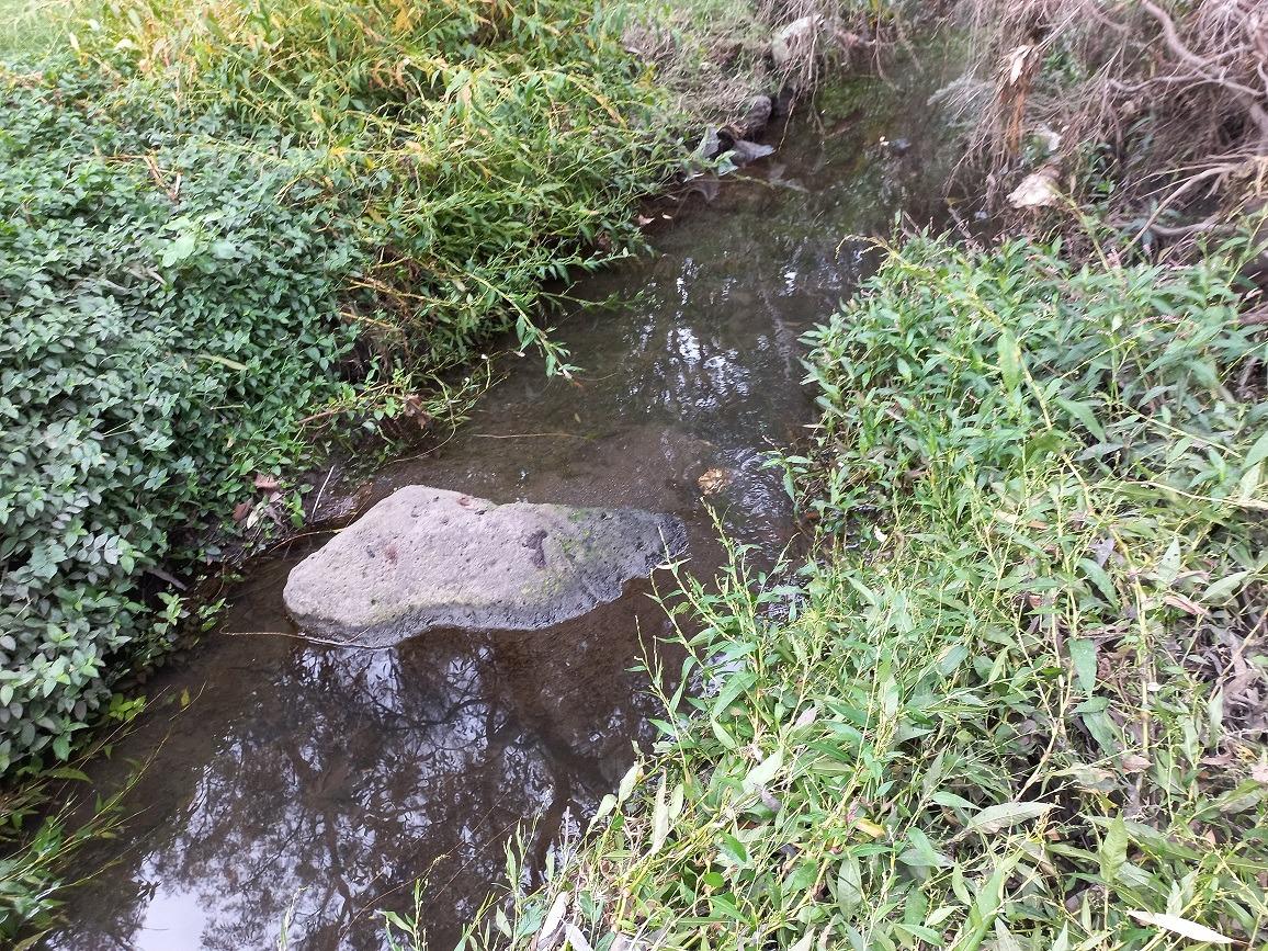
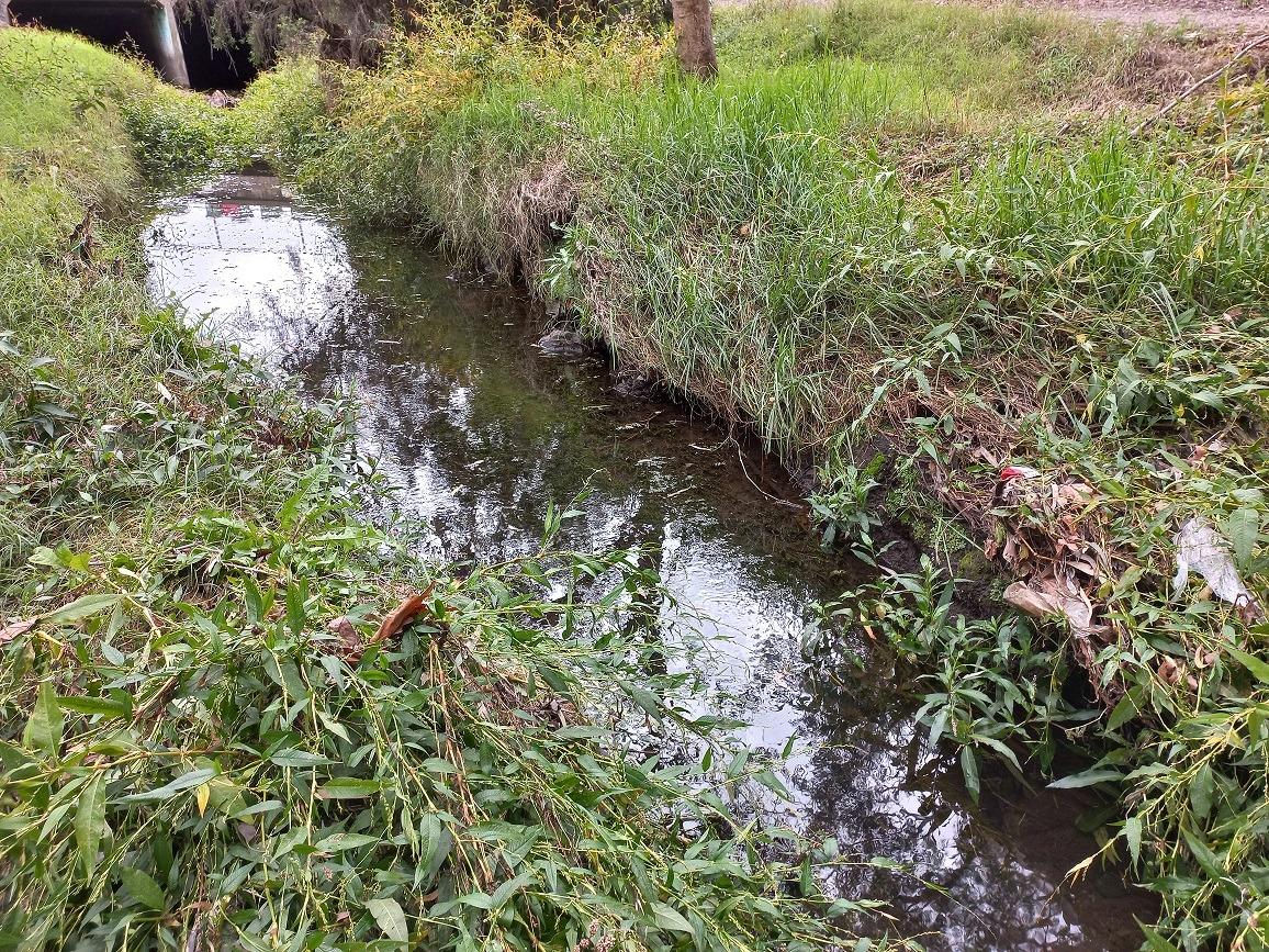
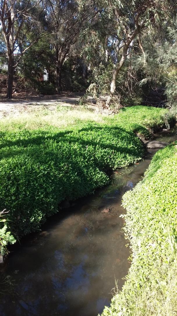
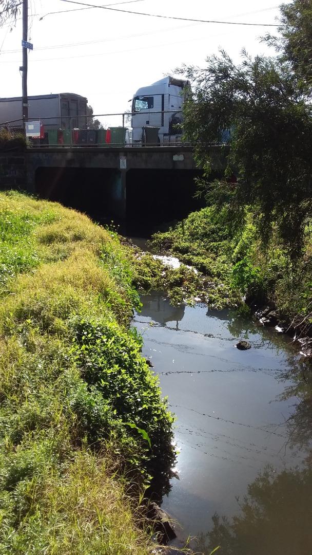
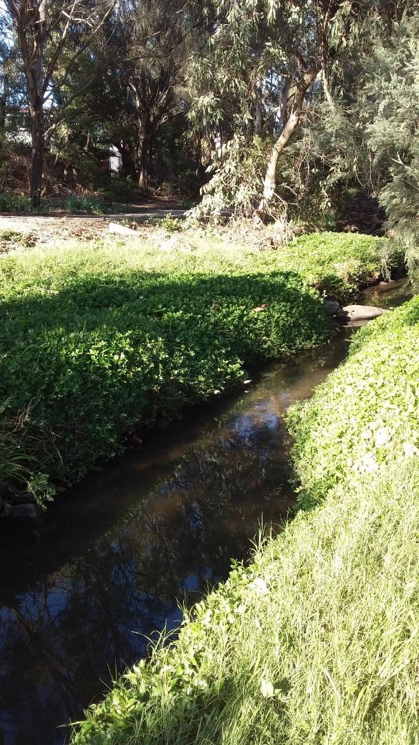
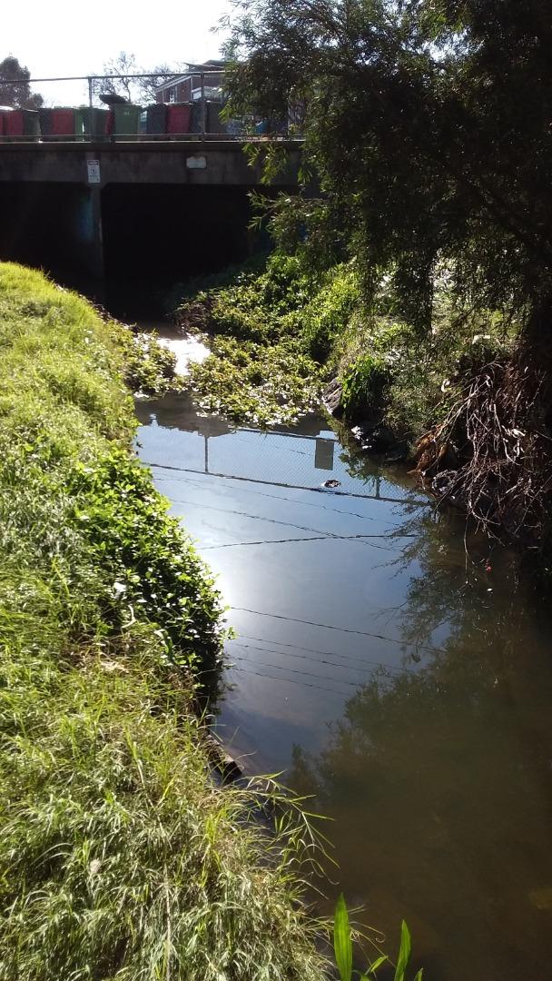
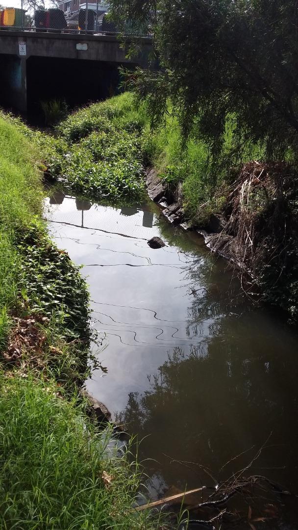
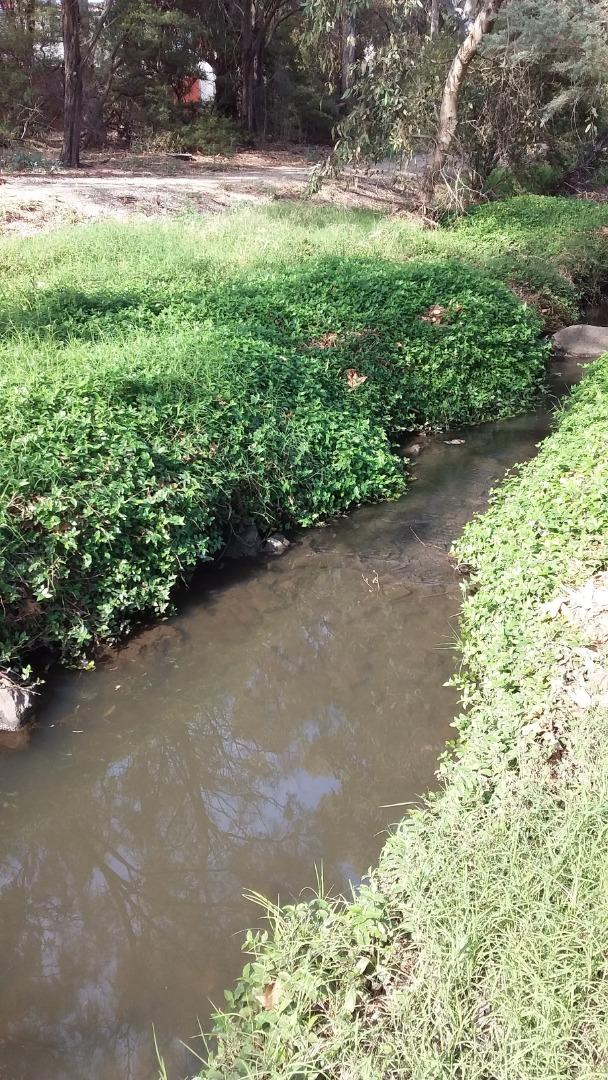
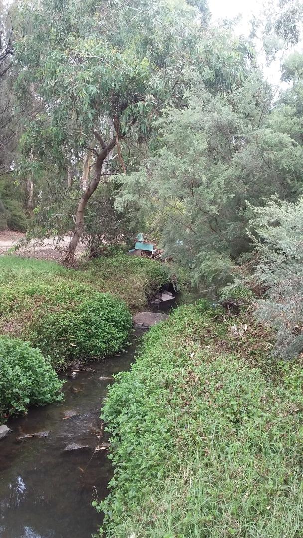
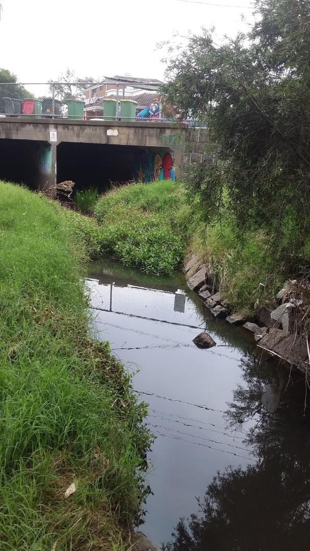
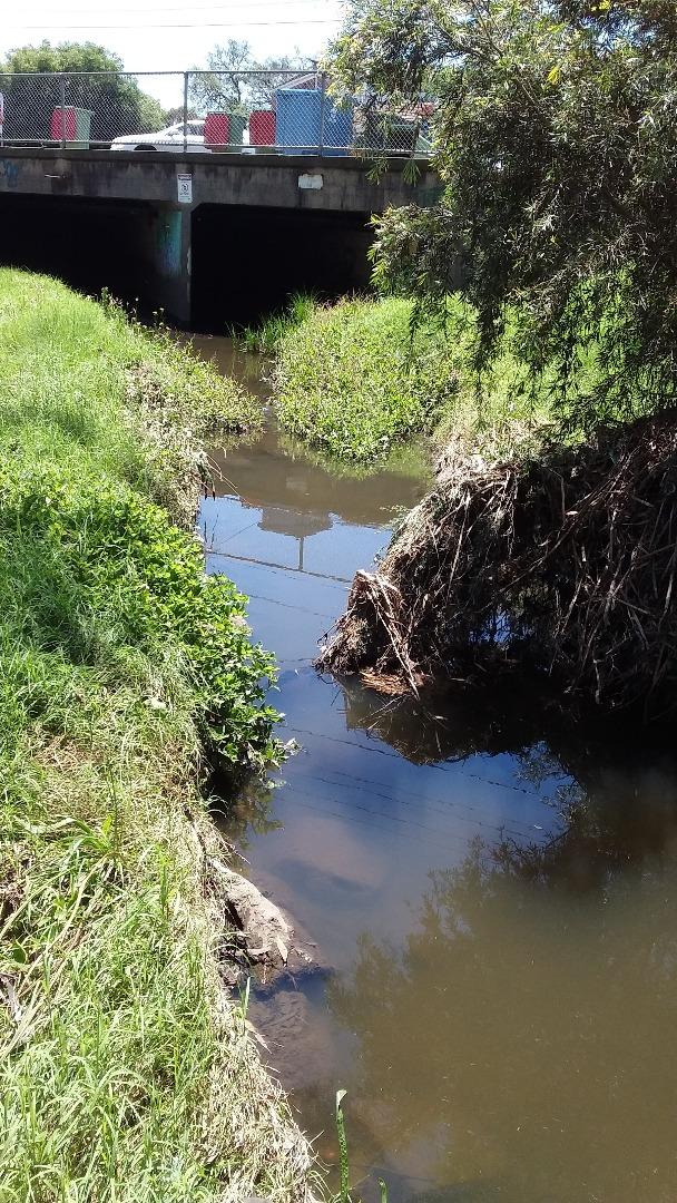
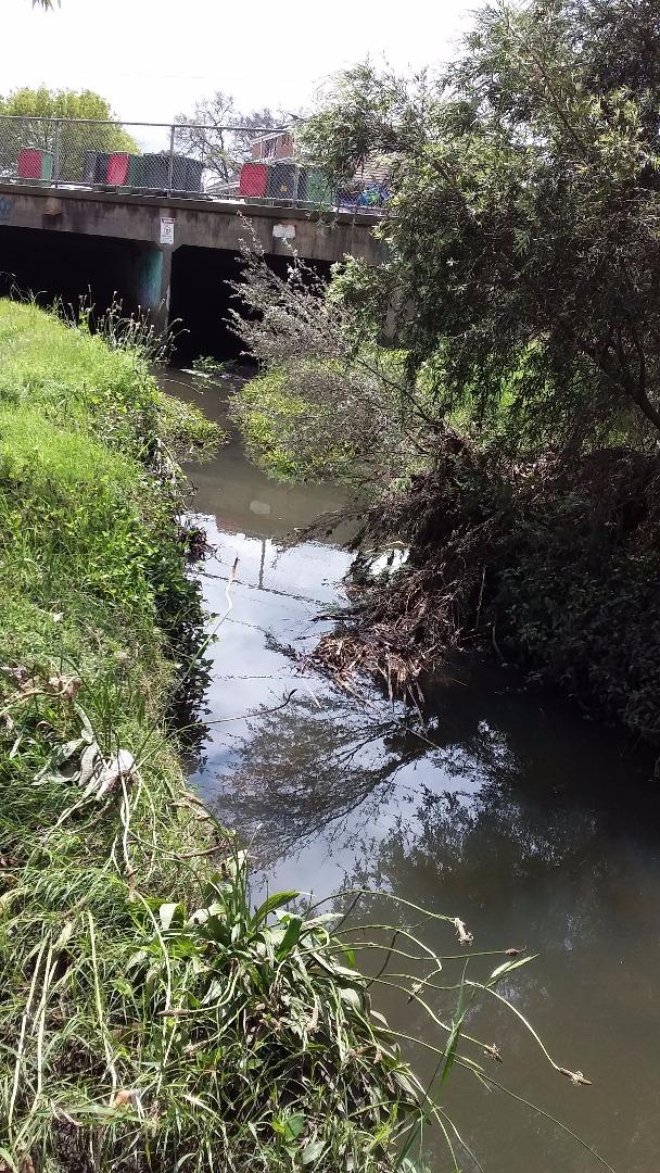
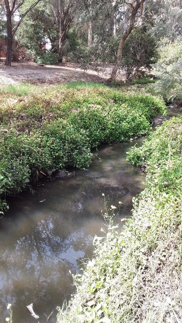
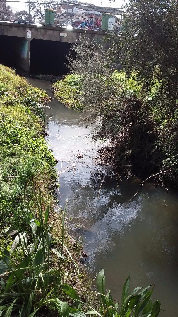
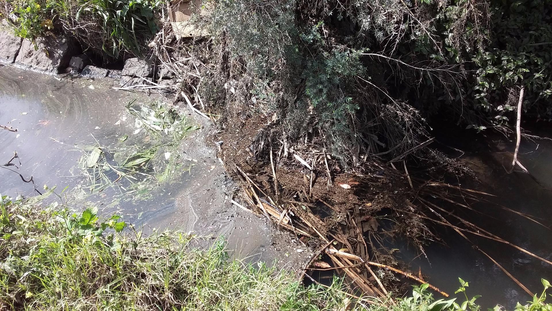
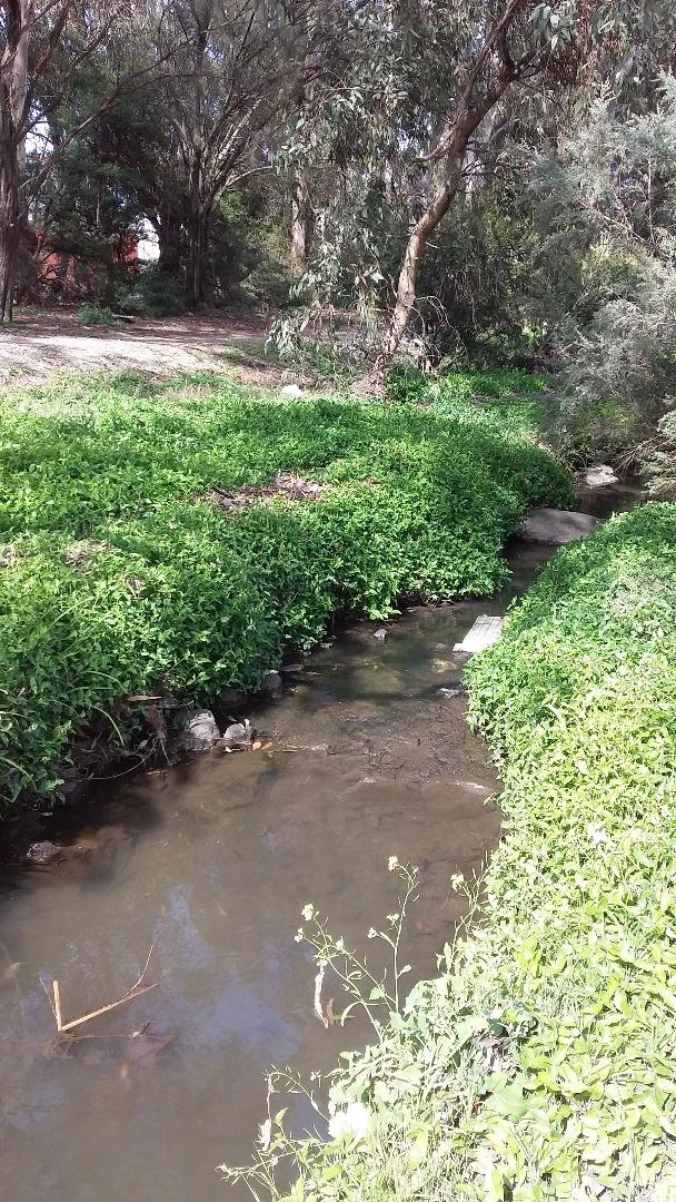
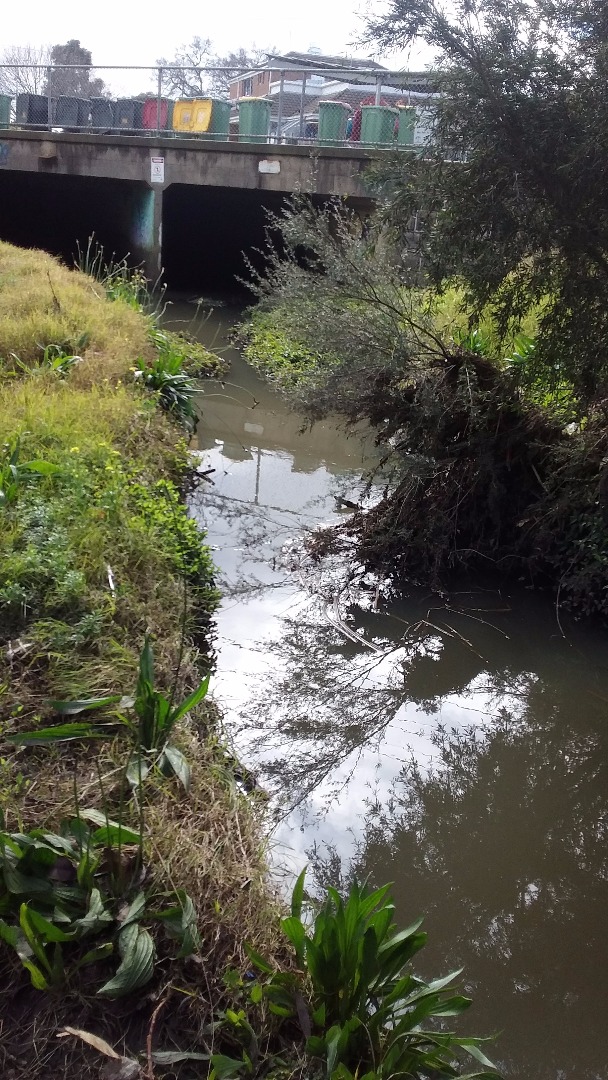
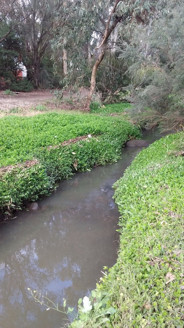
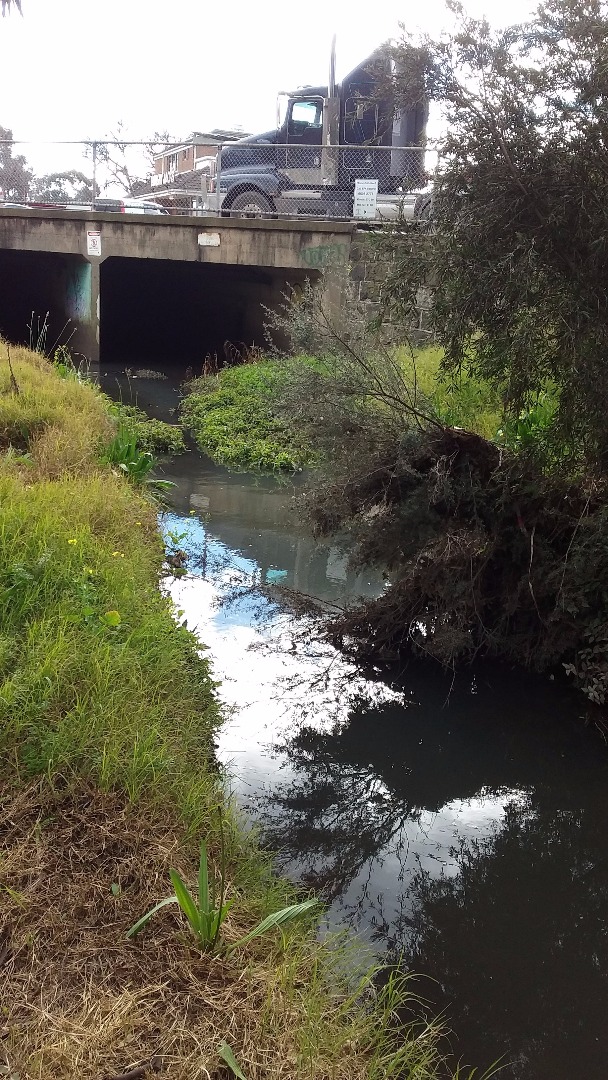
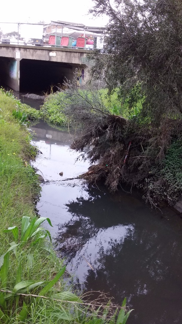
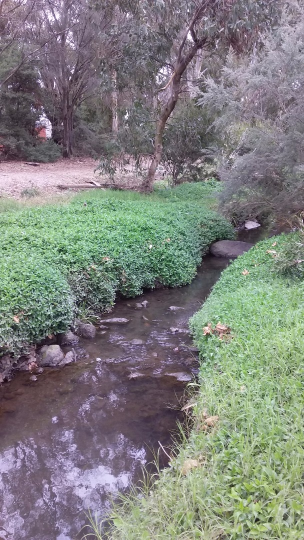
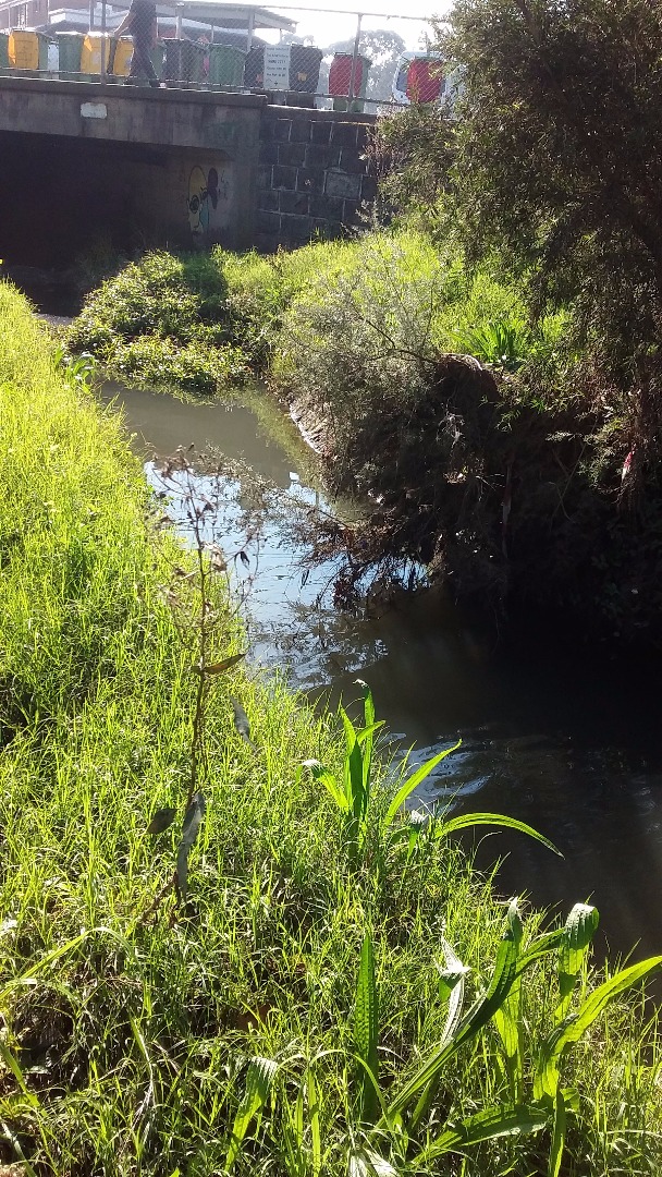
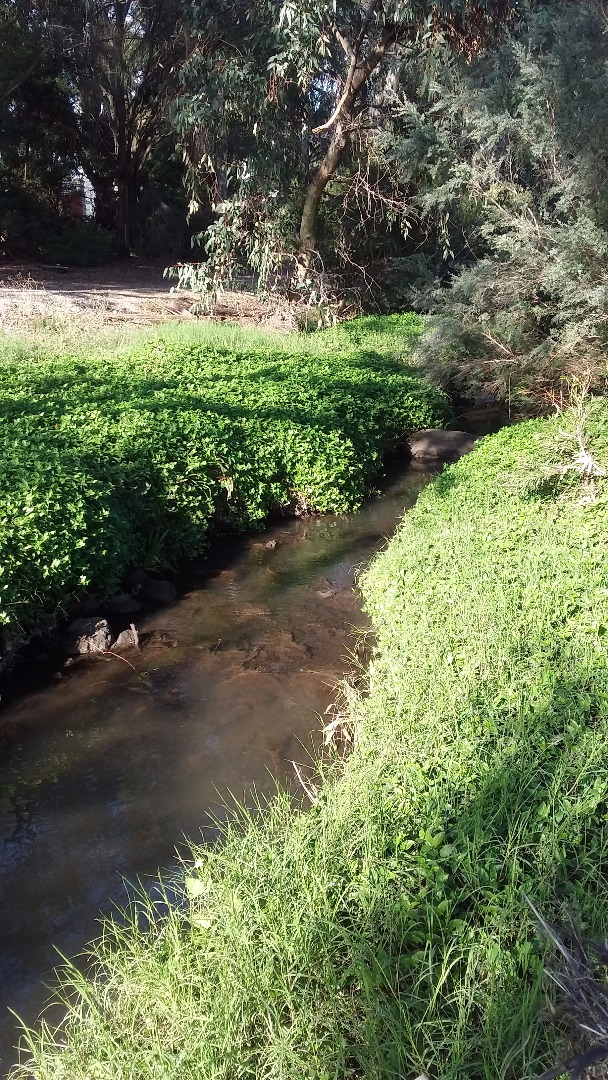
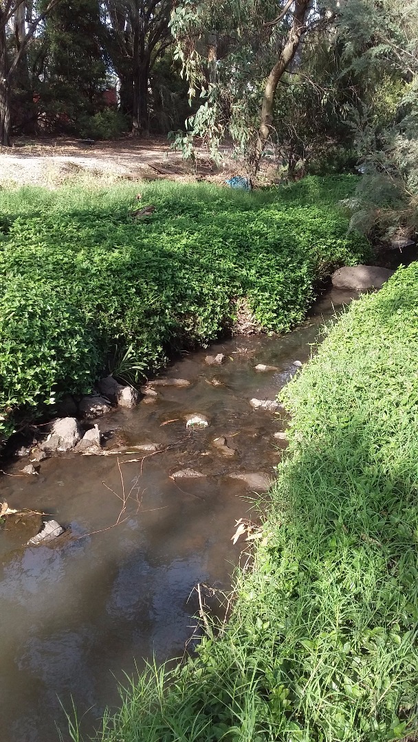
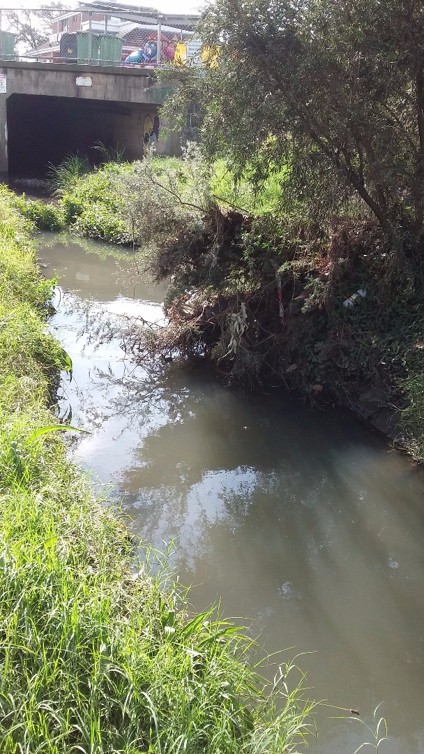
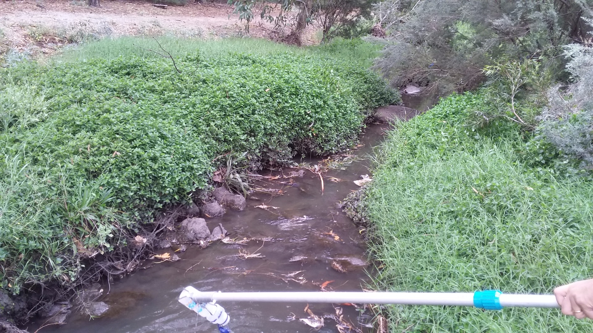
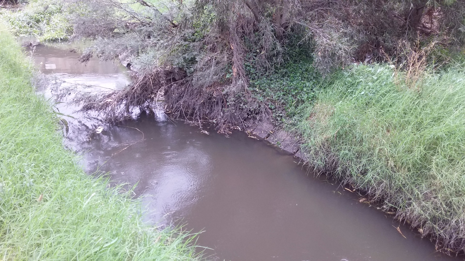
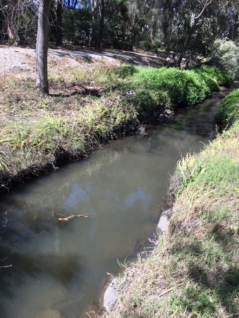
| Site name | Stony Creek downstream of Somerville Rd |
| Status | Active |
| Water Authority | Melbourne |
| Basin | Maribyrnong River |
| Catchment | Maribyrnong River |
| Sub catchment | Stony Creek |
| Reach | |
| Water type | Creek |
| Council | Maribyrnong City Council |
| History | View all 40 site visits 17-07-2014 - 17-03-2024 |
| Monitoring organisations |
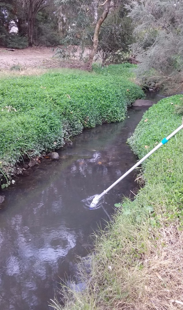
Site visits
 Loading chart
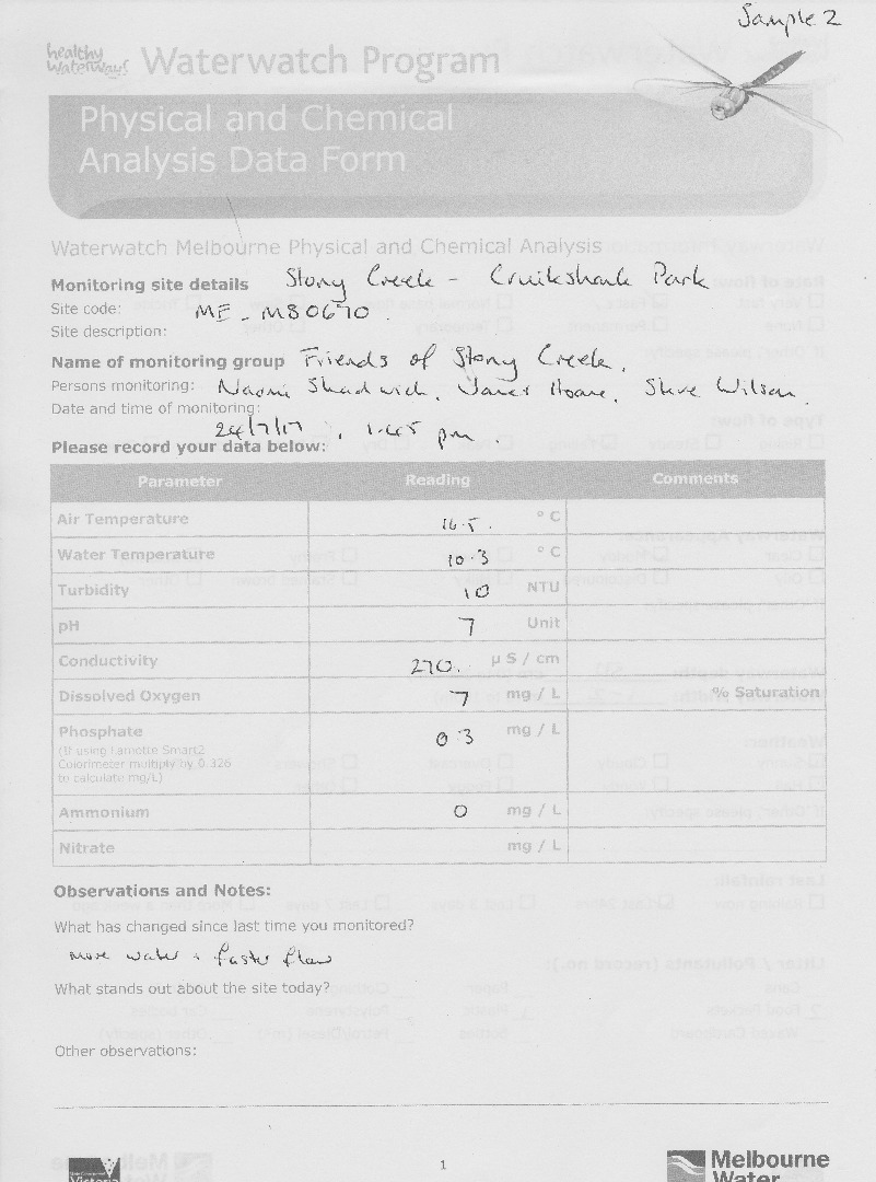
| Date | N mg/L NH4+ | D.O. % | D.O mg/L | EC µS/cm | FrP mg/L P | pH pH Units | rP mg/L P | Air ° C | Water ° C | Turb FAU | Turb FTU | Turb NTU |
|---|---|---|---|---|---|---|---|---|---|---|---|---|
| 28-04-2022 | 0.442 | 19.6 | 1.9 | 460 | 6.5 | 0.14 | 21 | 16.8 | 1 | |||
| 19-06-2022 | 0.07 | 77.18 | 8.6 | 390 | 7.6 | 0.22 | 11 | 10.5 | 8 | |||
| 24-07-2022 | 0.02 | 7.3 | 200 | 7.5 | 0.15 | 15 | 11.2 | 34 | ||||
| 21-08-2022 | 0.12 | 8.1 | 300 | 7.6 | 0.16 | 14.5 | 11.1 | 9 | ||||
| 19-02-2023 | 0.35 | 2.4 | 300 | 7.5 | 0.46 | 21 | 19.7 | 8 | ||||
| 19-03-2023 | 0.21 | 2.8 | 260 | 7.3 | 0.43 | 18.5 | 18.5 | 8 | ||||
| 20-08-2023 | 0.1 | 7.5 | 230 | 7 | 0.14 | 16 | 12 | 9 | ||||
| 17-09-2023 | 0.14 | 7 | 260 | 7.5 | 0.35 | 23 | 15.5 | 5 | ||||
| 08-10-2023 | 0.24 | 8 | 370 | 7.5 | 0.21 | 15 | 12.3 | 7 | ||||
| 19-11-2023 | 0.16 | 5.9 | 290 | 7.2 | 0.42 | 20 | 16.5 | 9 | ||||
| 17-12-2023 | 0.47 | 45.5697 | 4.4 | 320 | 7.3 | 0.26 | 18.5 | 17 | 8 | |||
| 21-01-2024 | 0.12 | 59.1526 | 5.5 | 570 | 7.7 | 0.29 | 20 | 18.8 | 9 | |||
| 18-02-2024 | 0.13 | 4.1 | 360 | 7.6 | 0.33 | 21.5 | 19.3 | 9 |


All content, files, data and images provided by the Waterwatch Data Portal and Gallery are subject to a Creative Commons Attribution License
Content is made available to be used in any way, and should always attribute Waterwatch and www.vic.waterwatch.org.au
.png)