Waterwatch Data Portal
Site details
Overview
| Site code | ME_MGH520 |
|---|---|
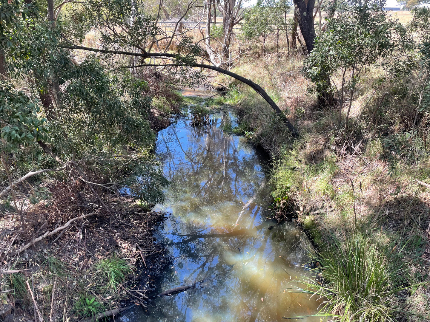
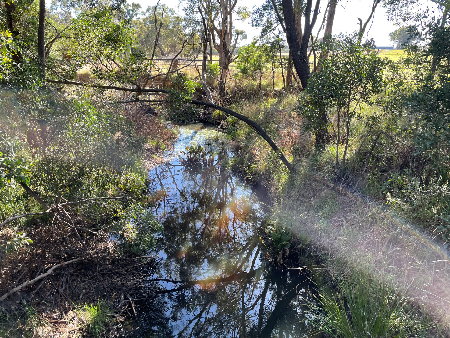
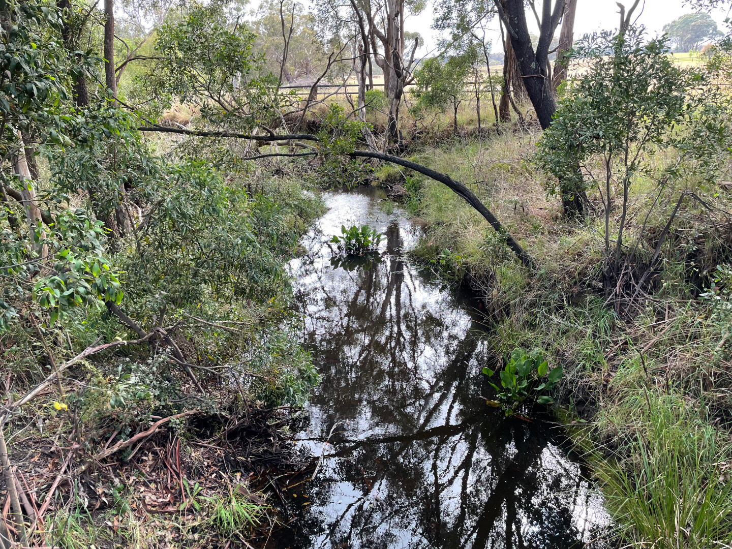
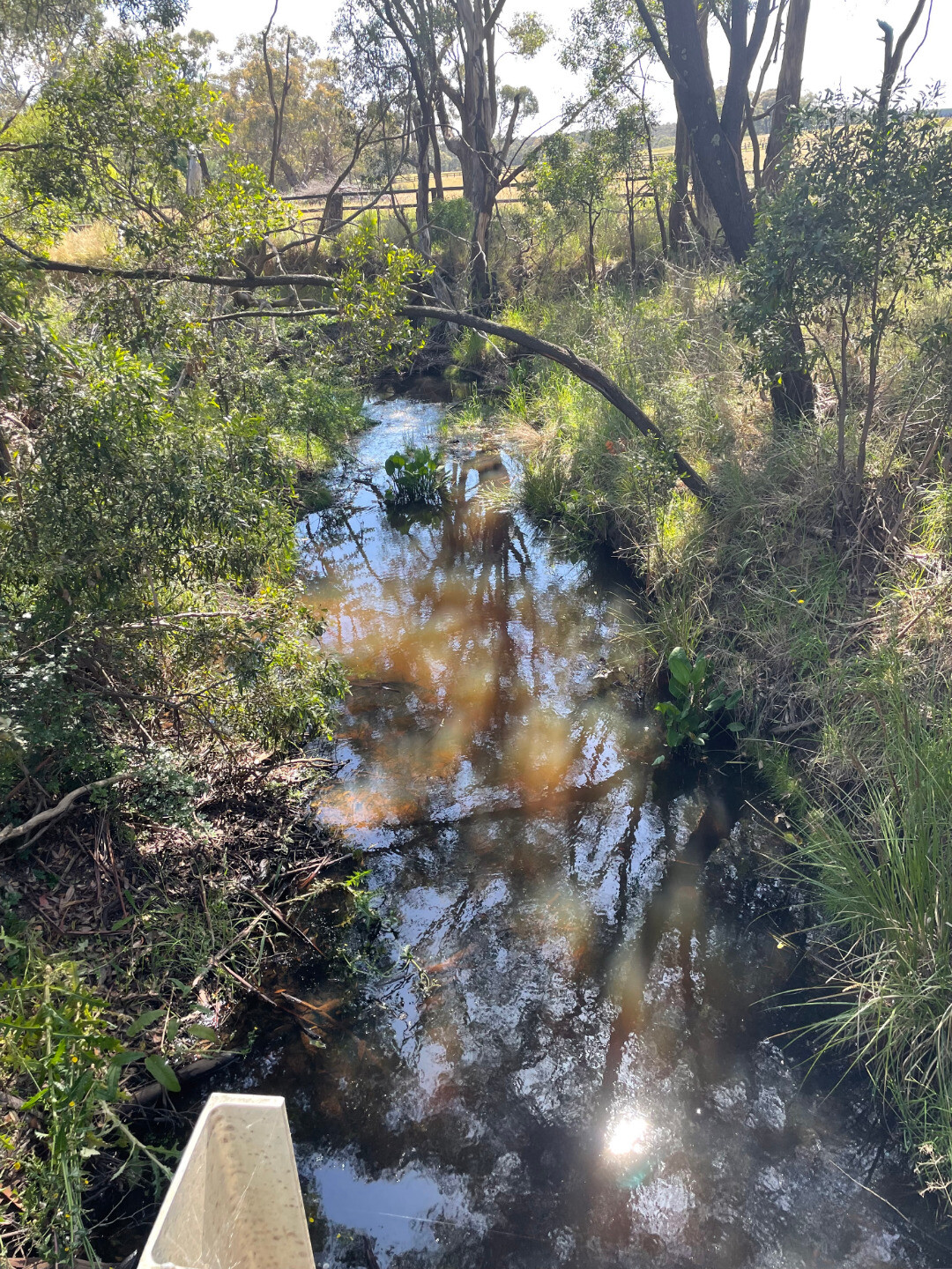
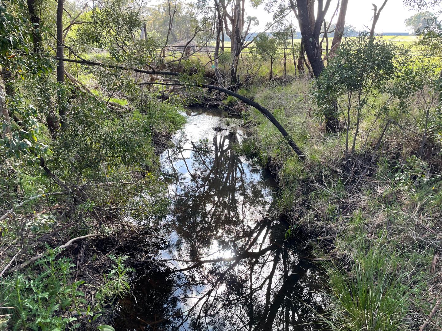
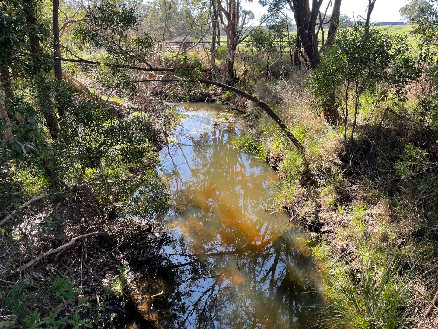
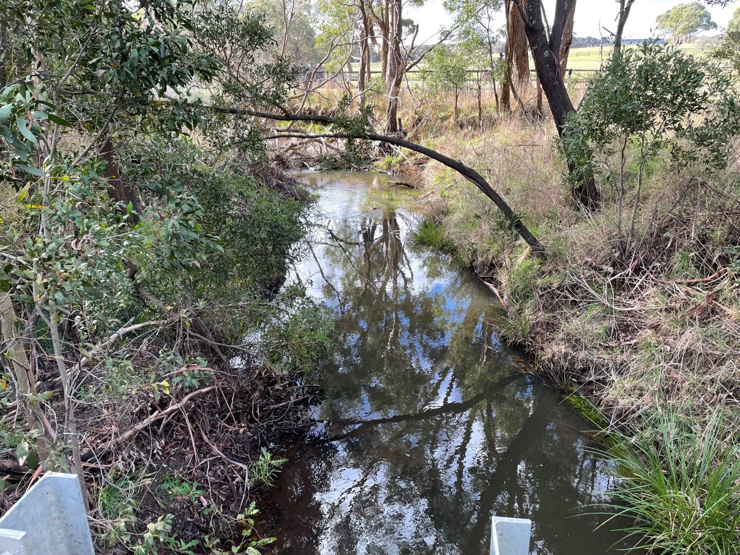
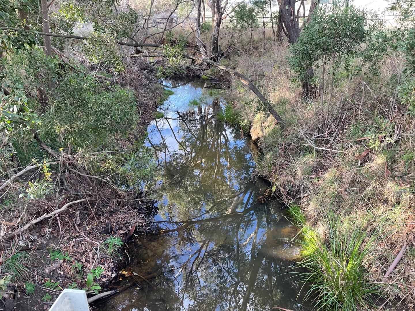
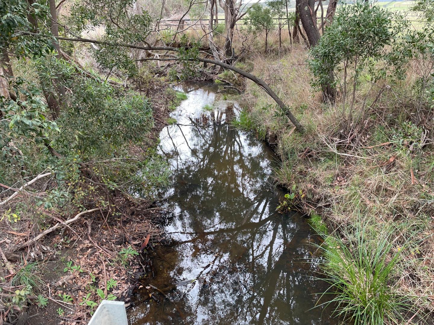
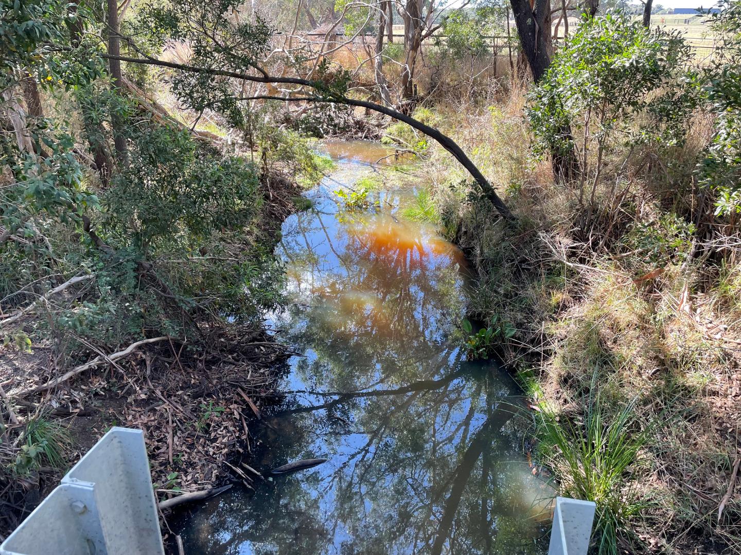
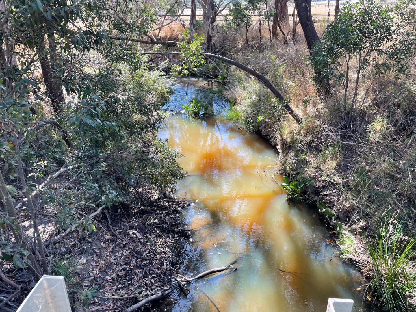
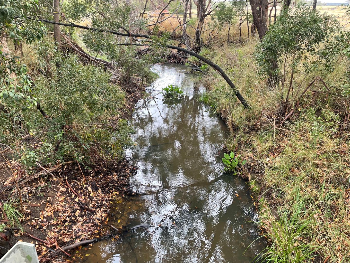
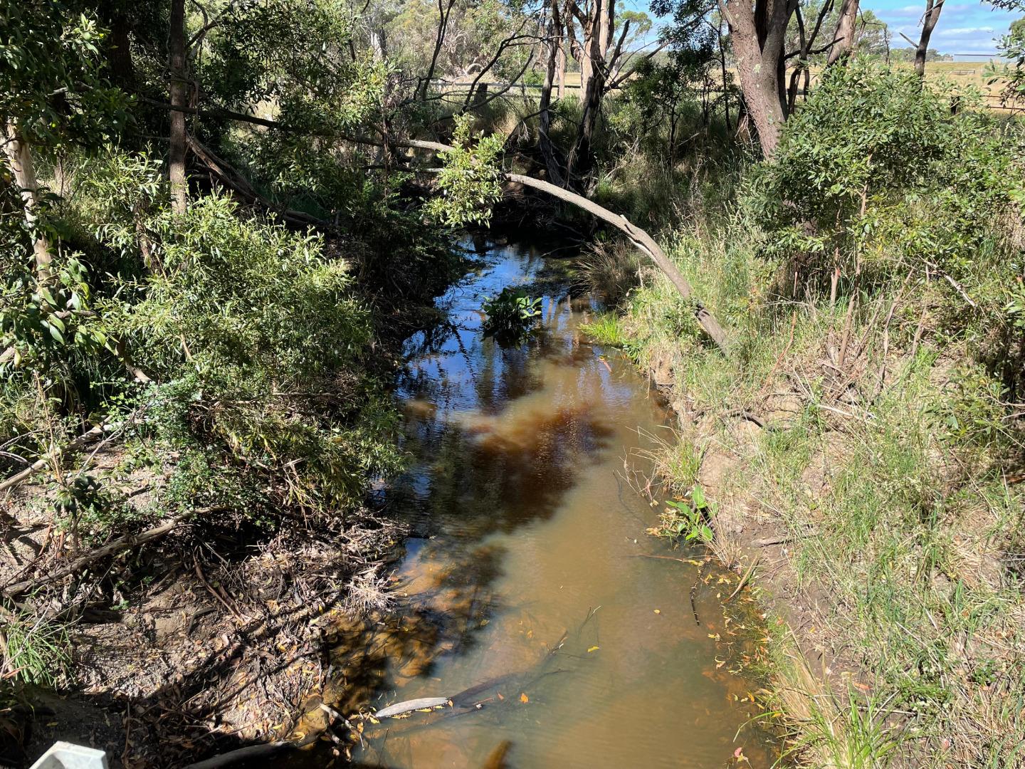
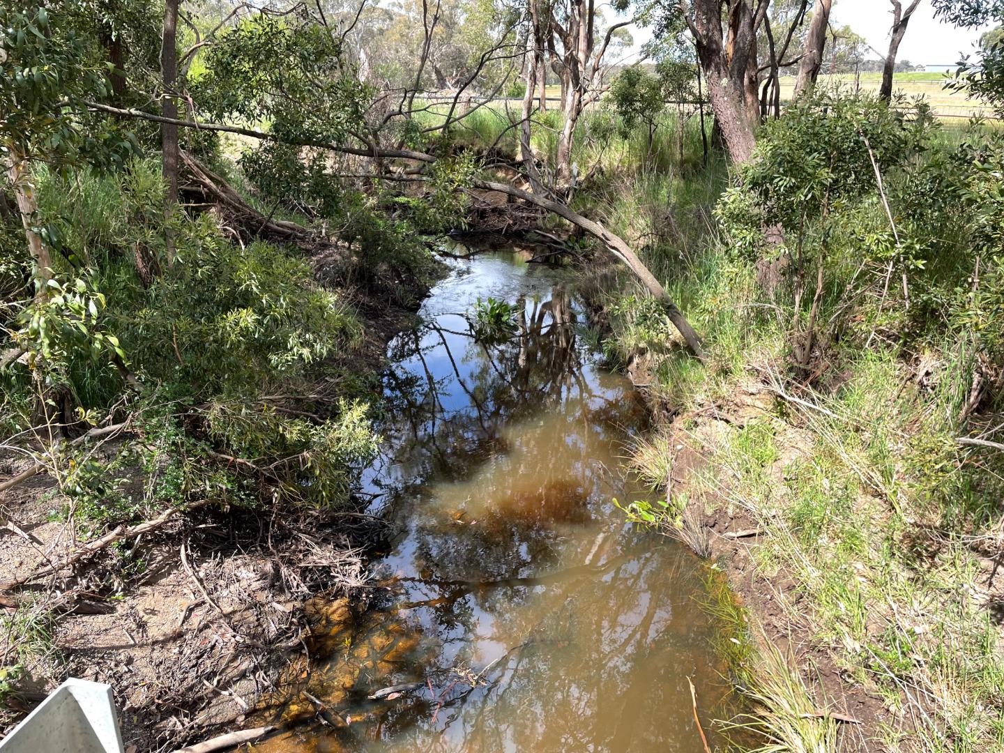
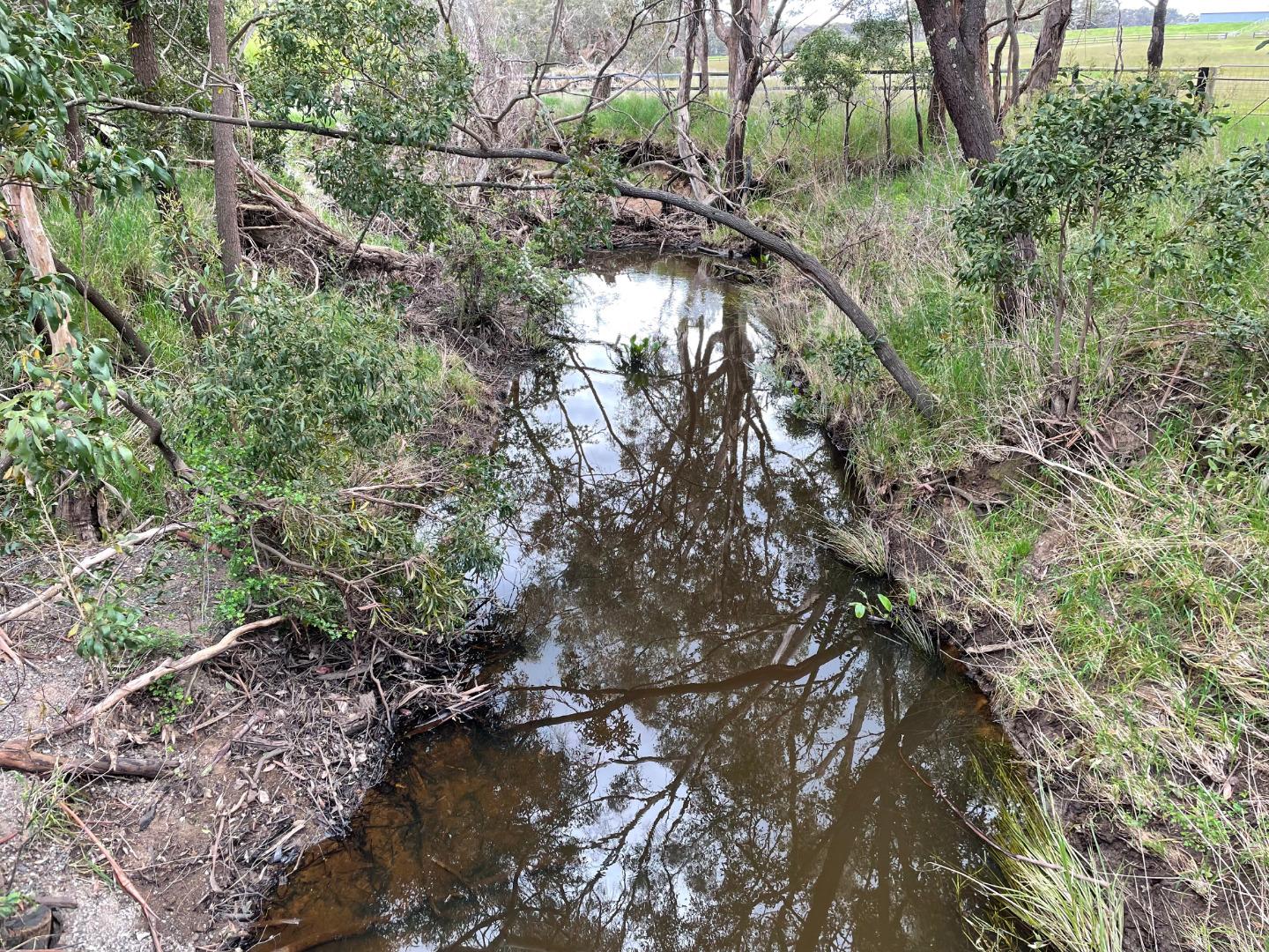
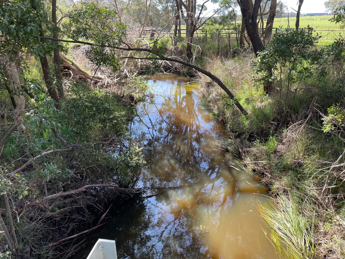
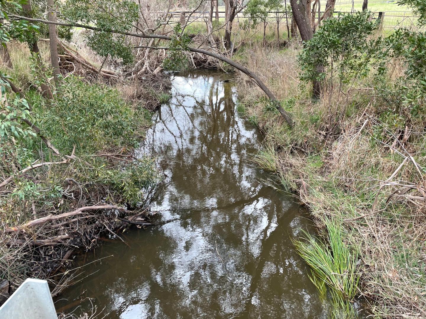
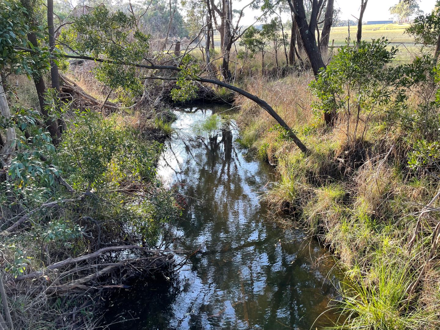
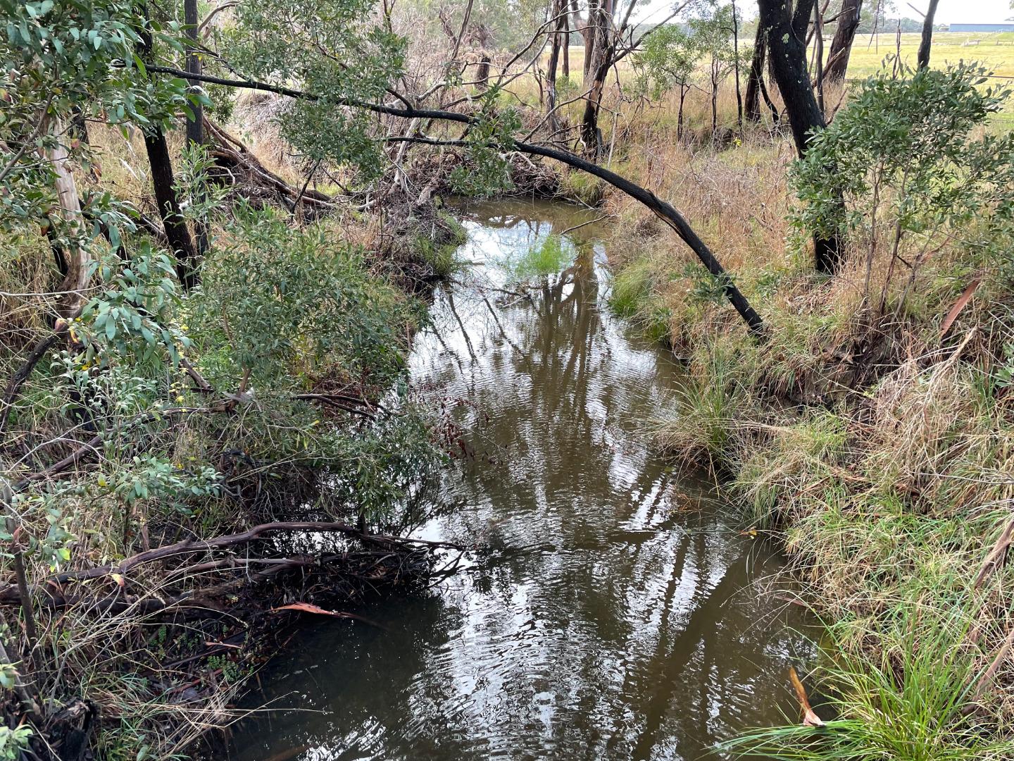
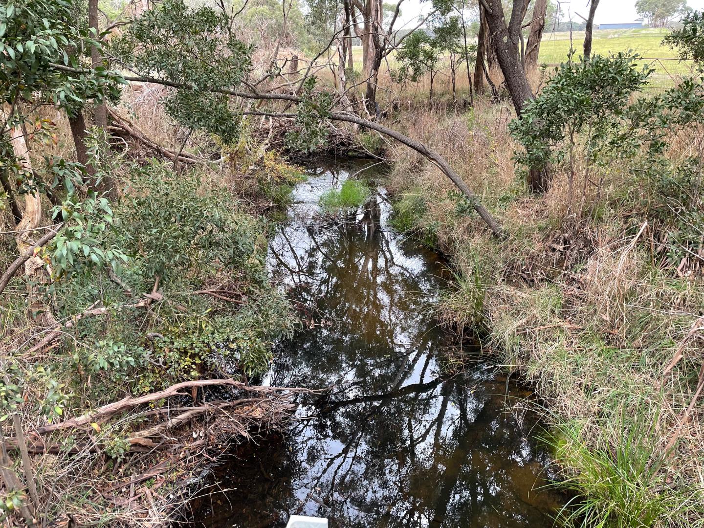
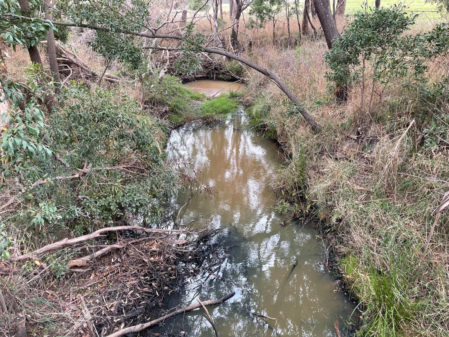
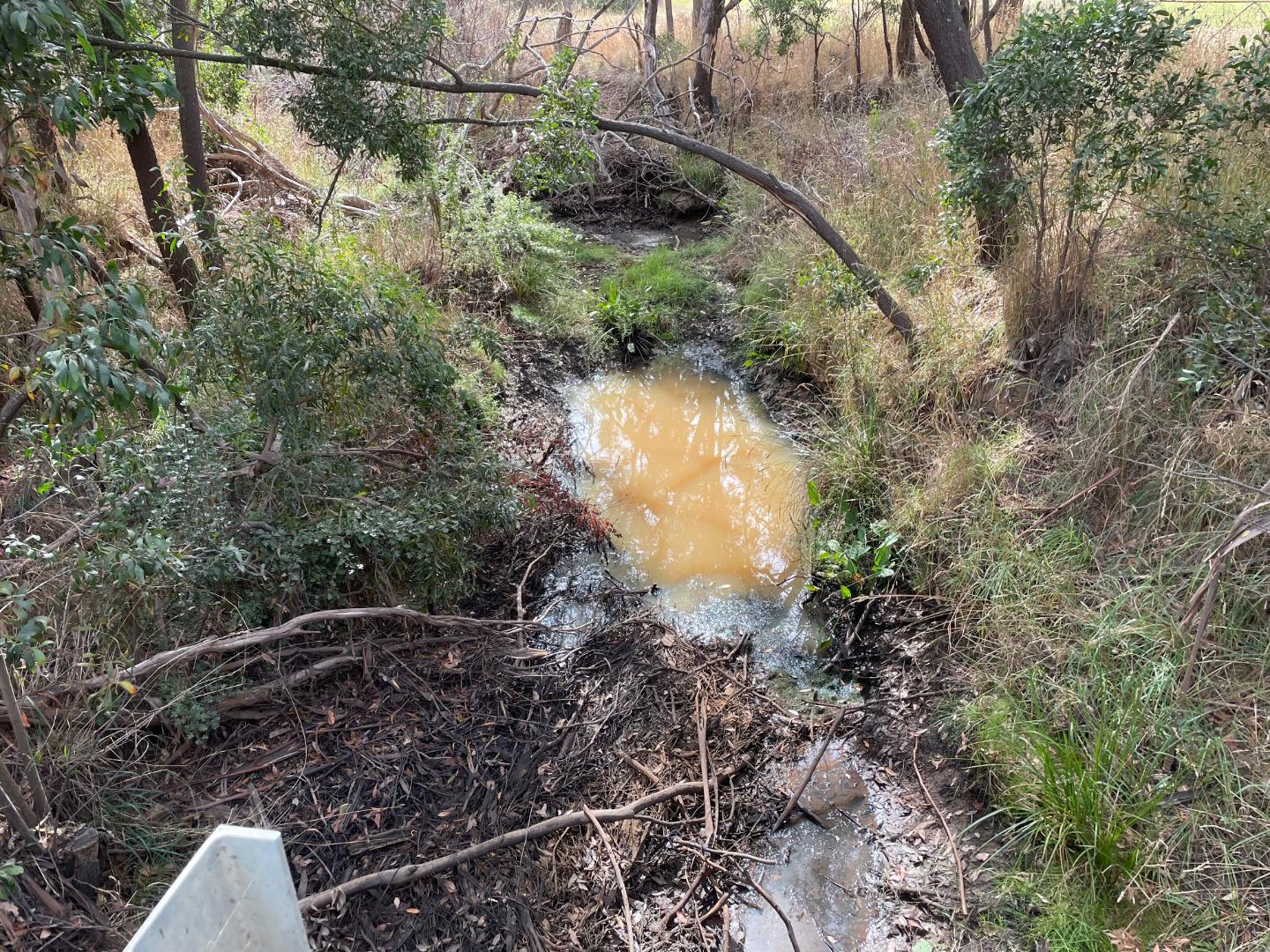
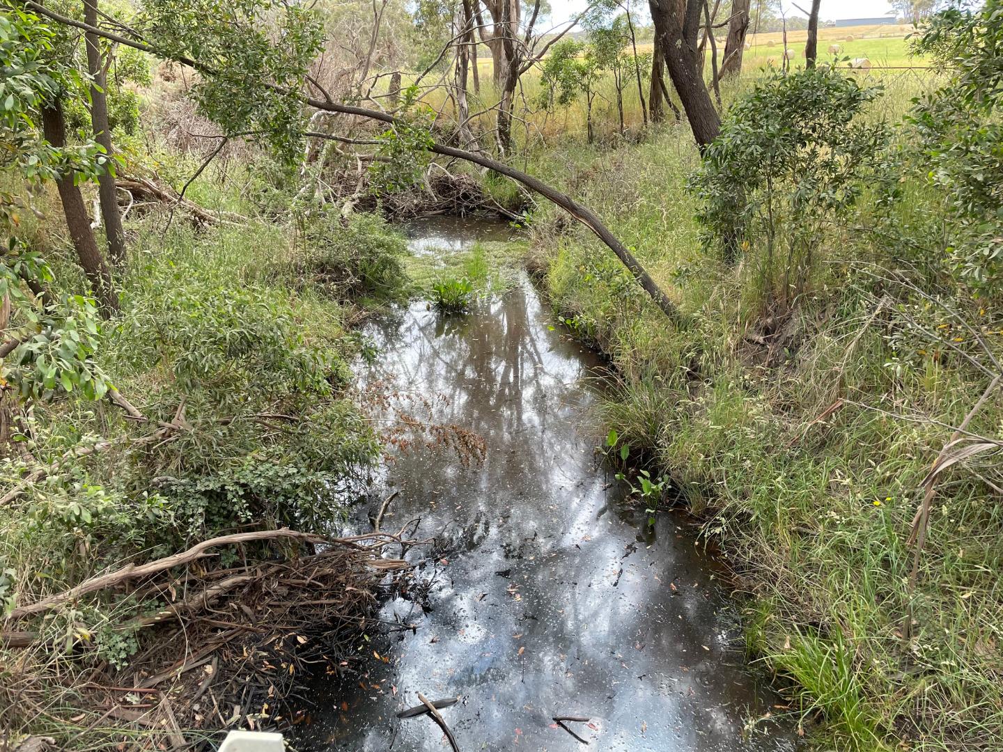
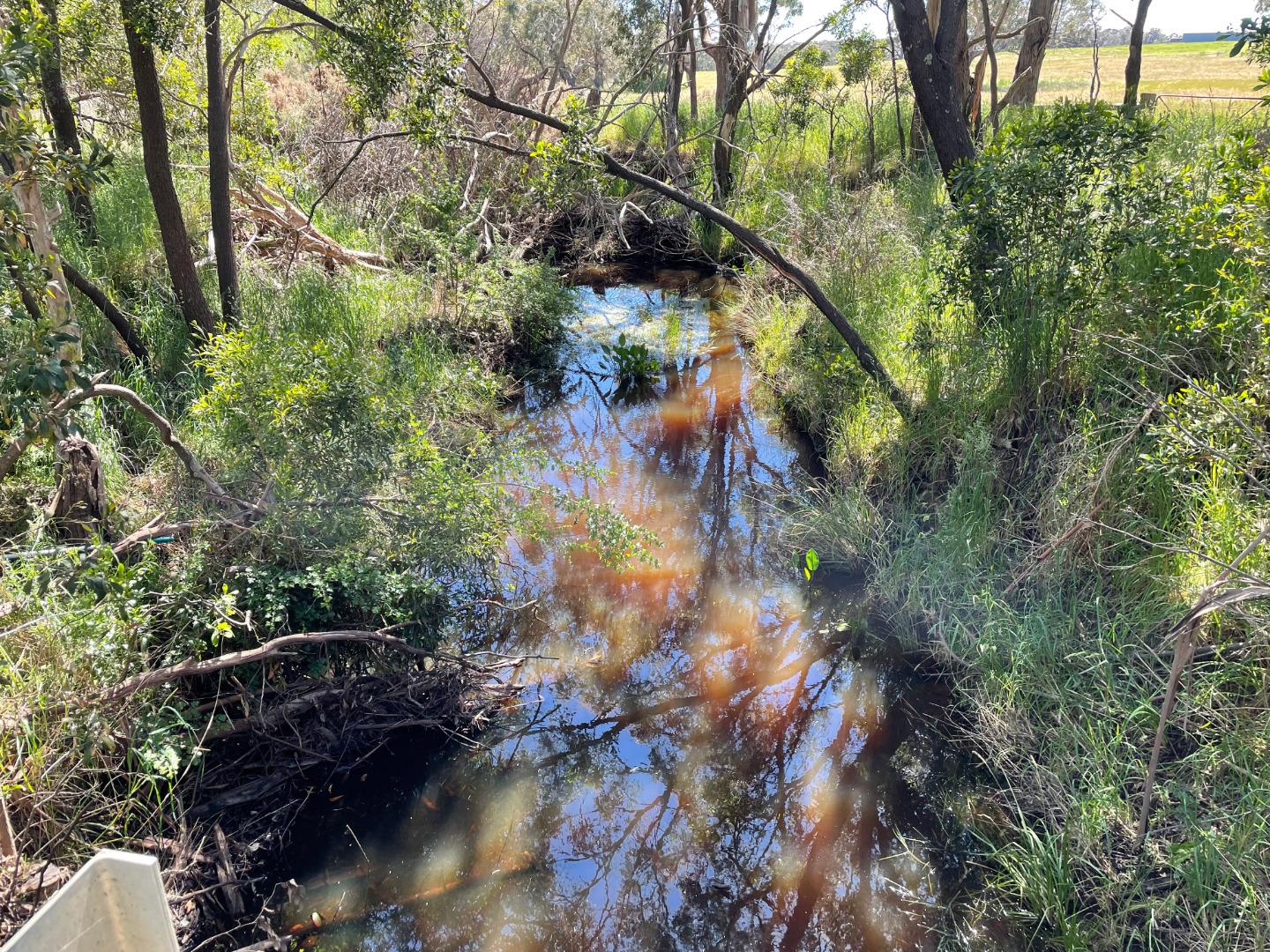
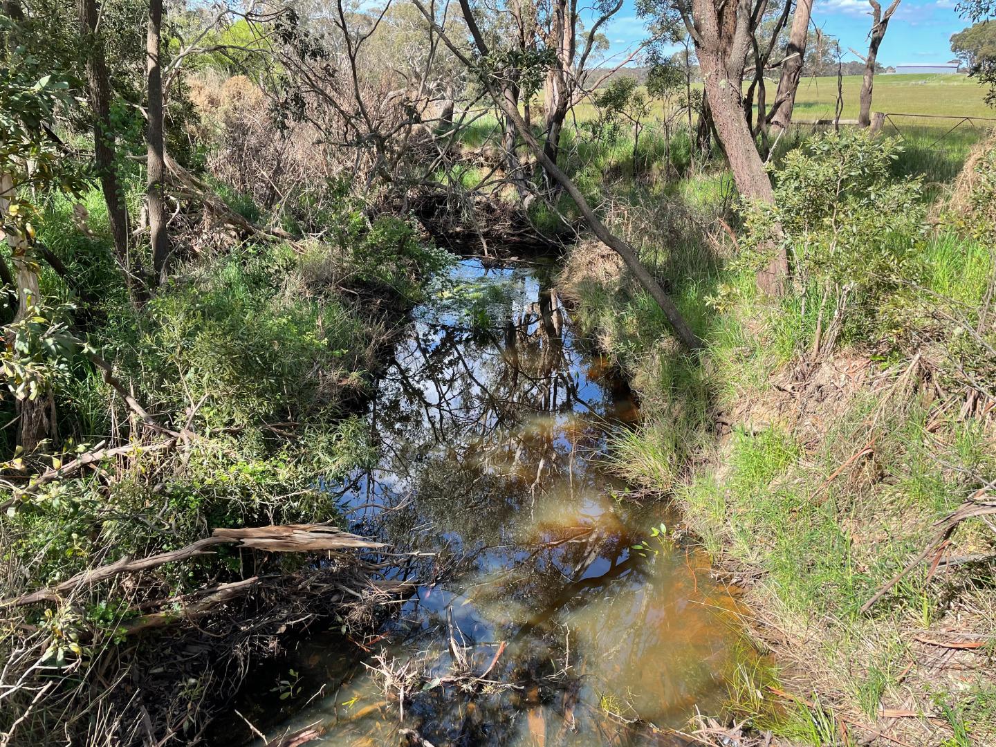
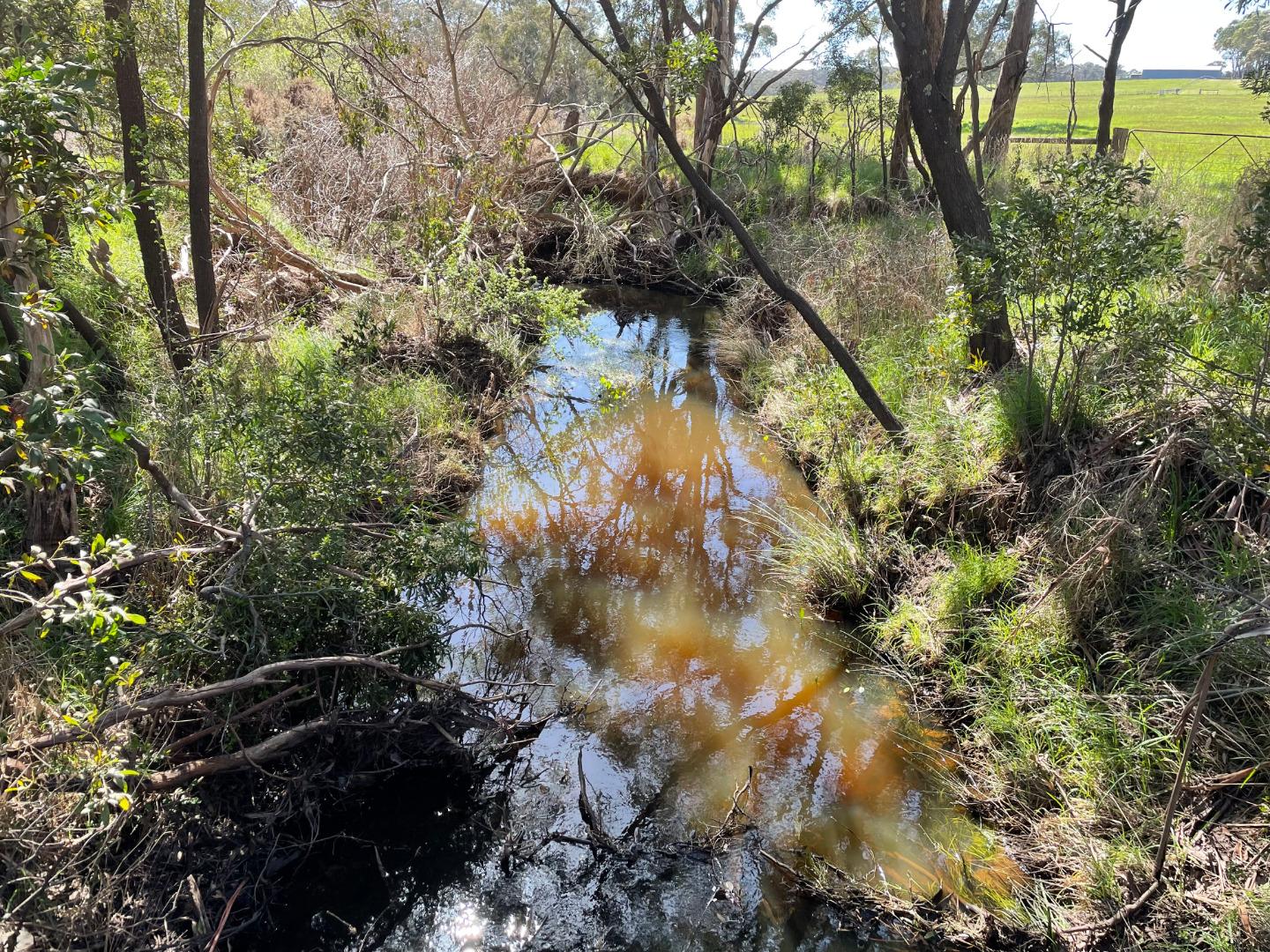
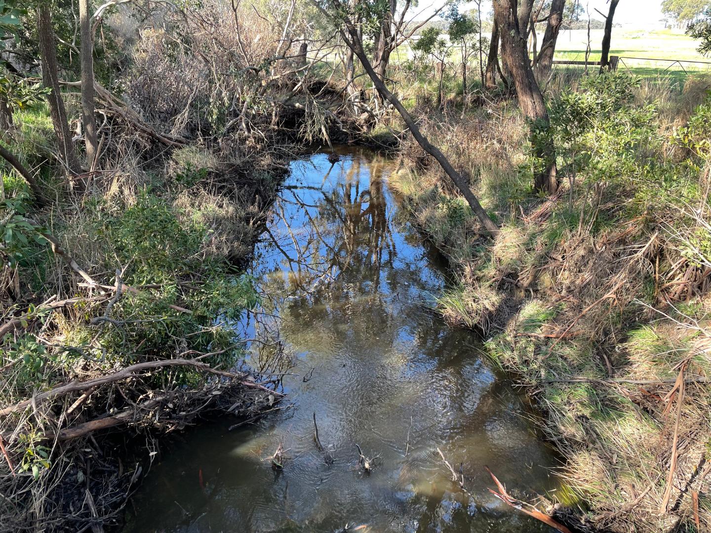
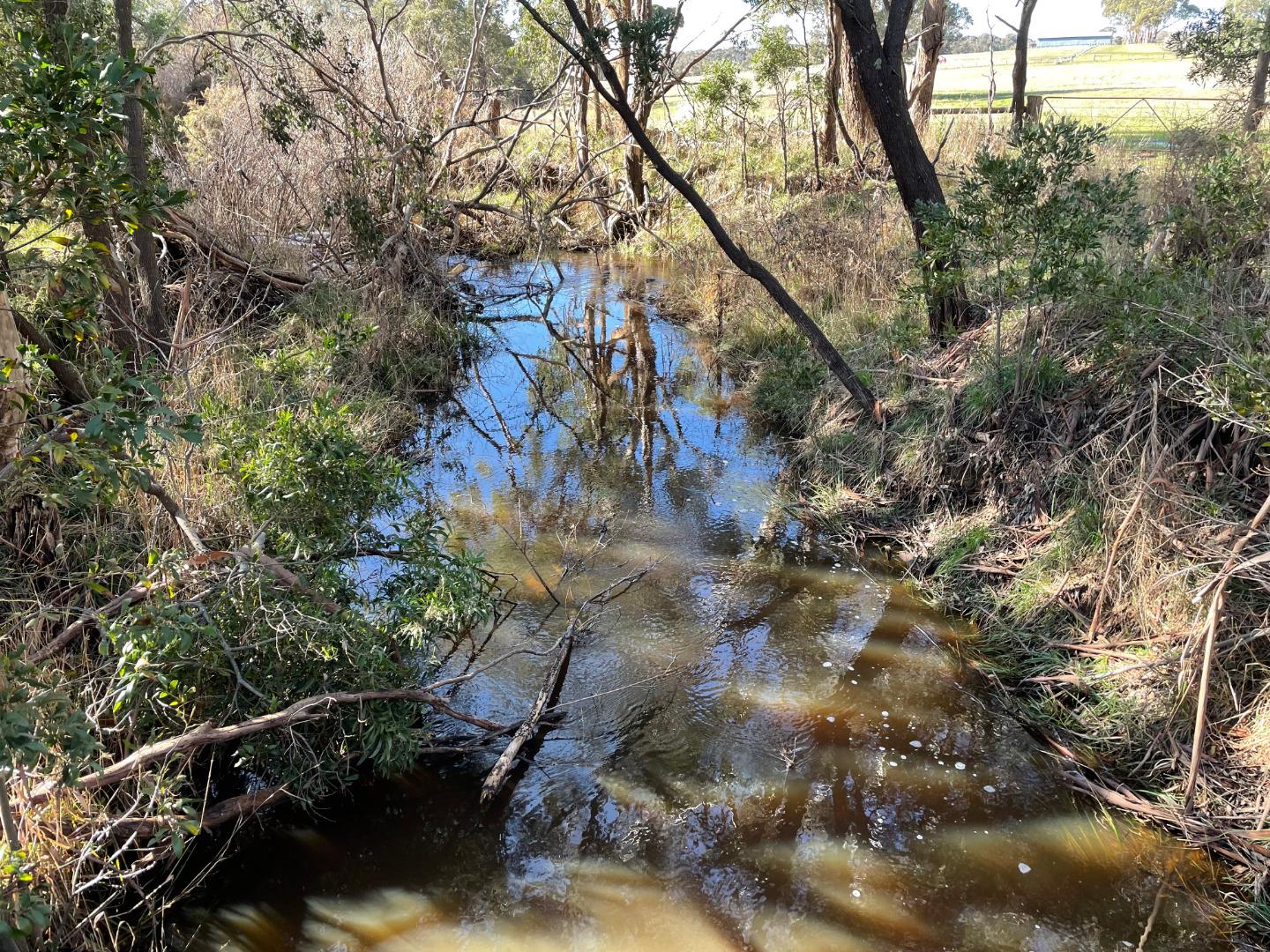
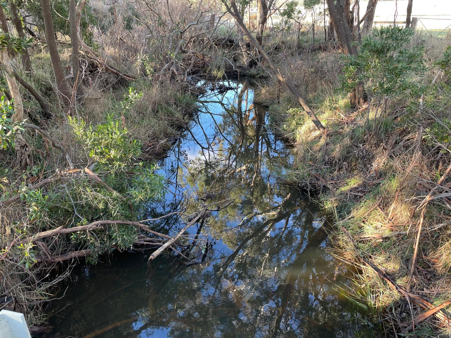
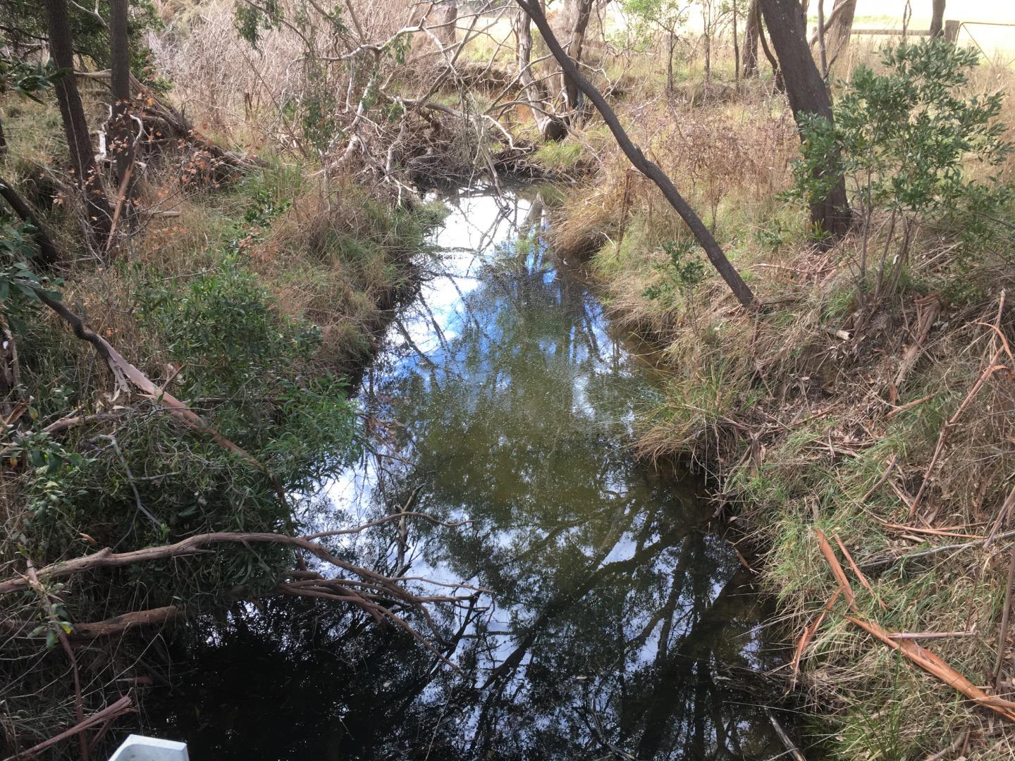
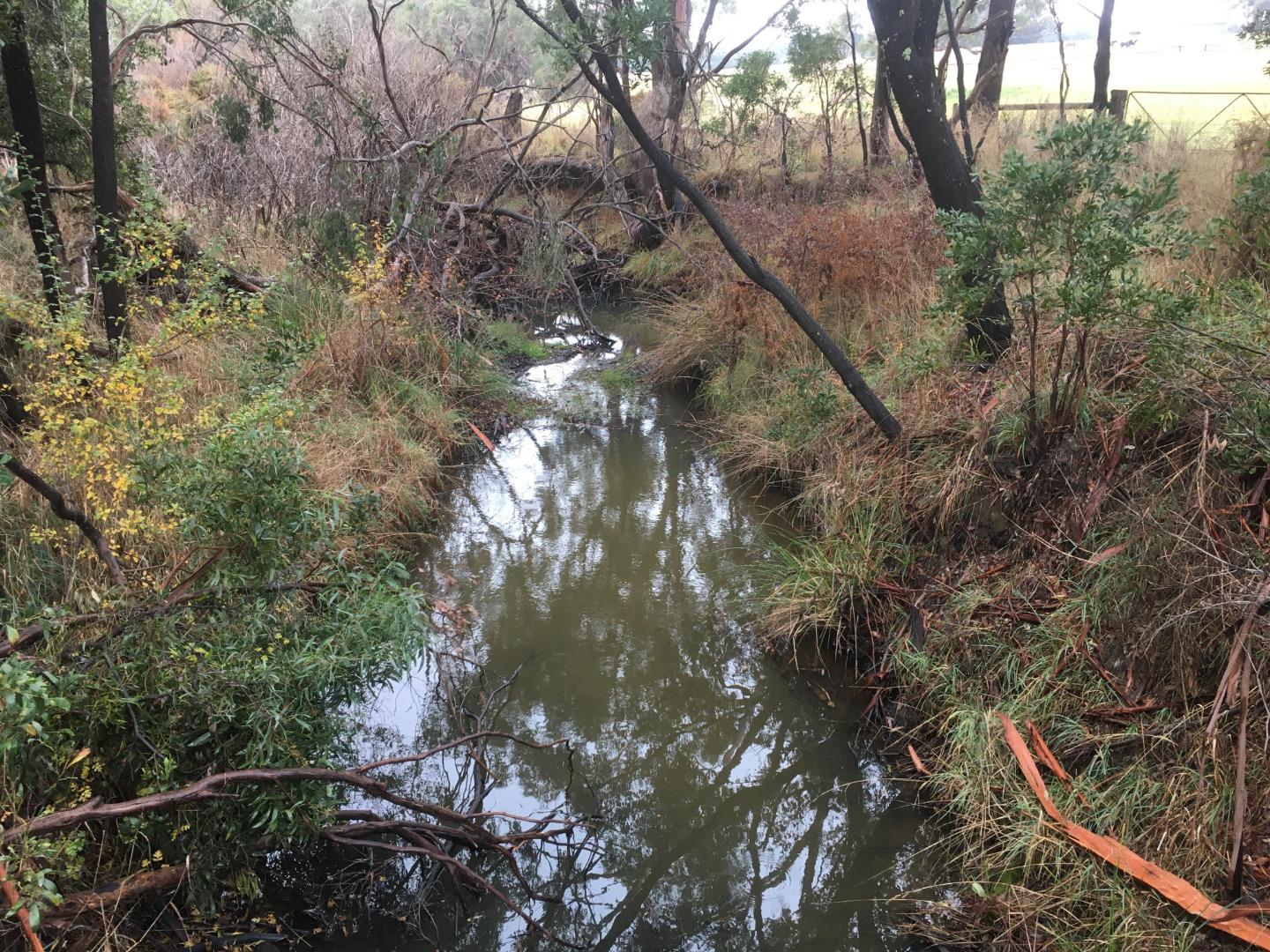
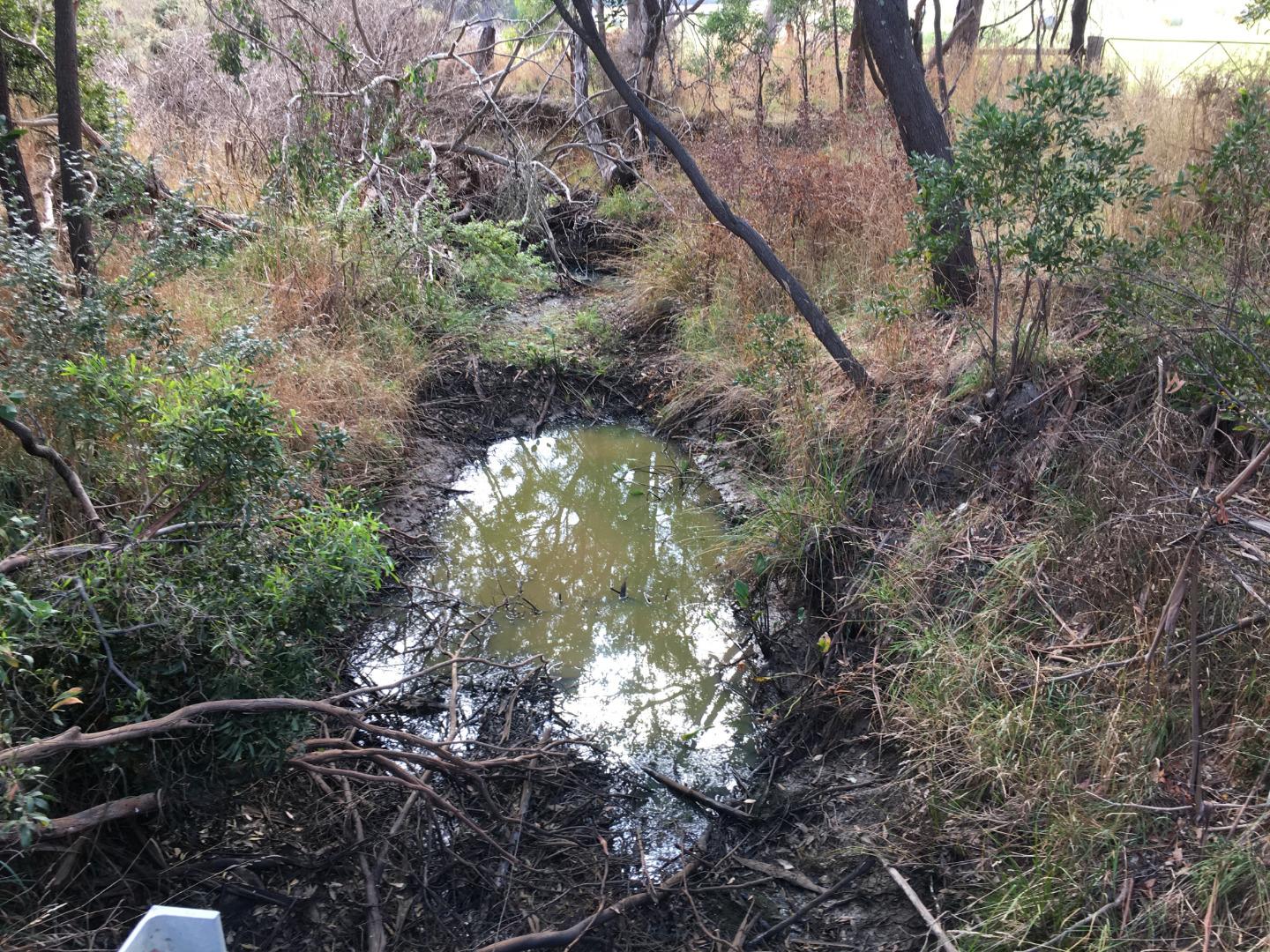
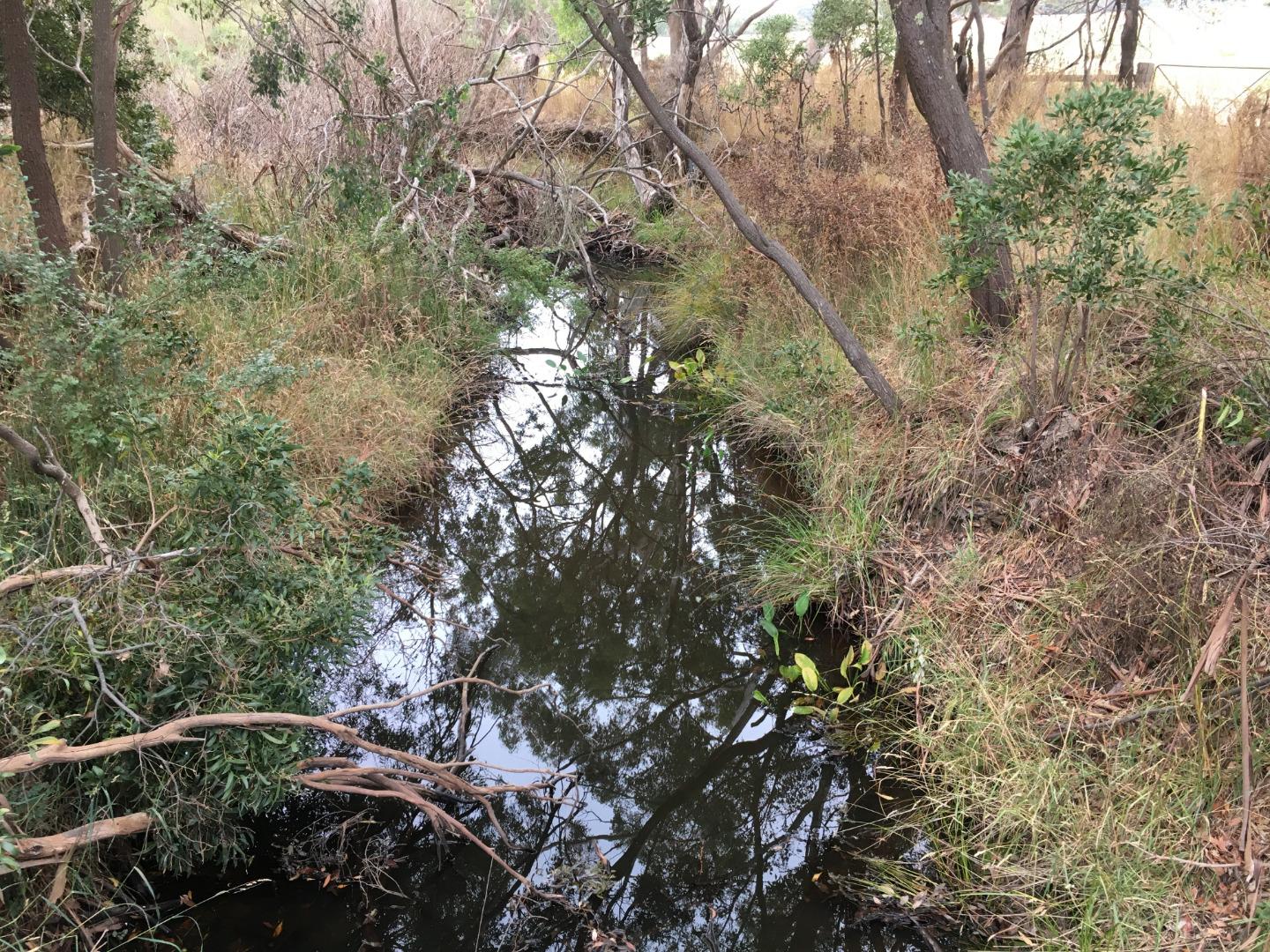
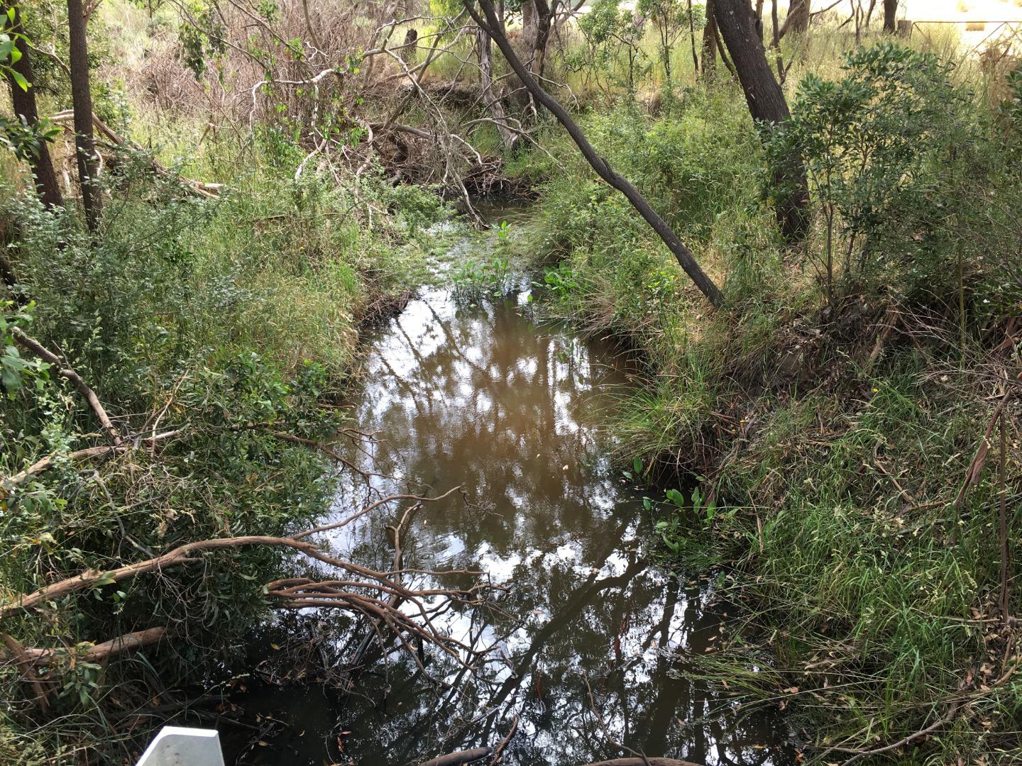
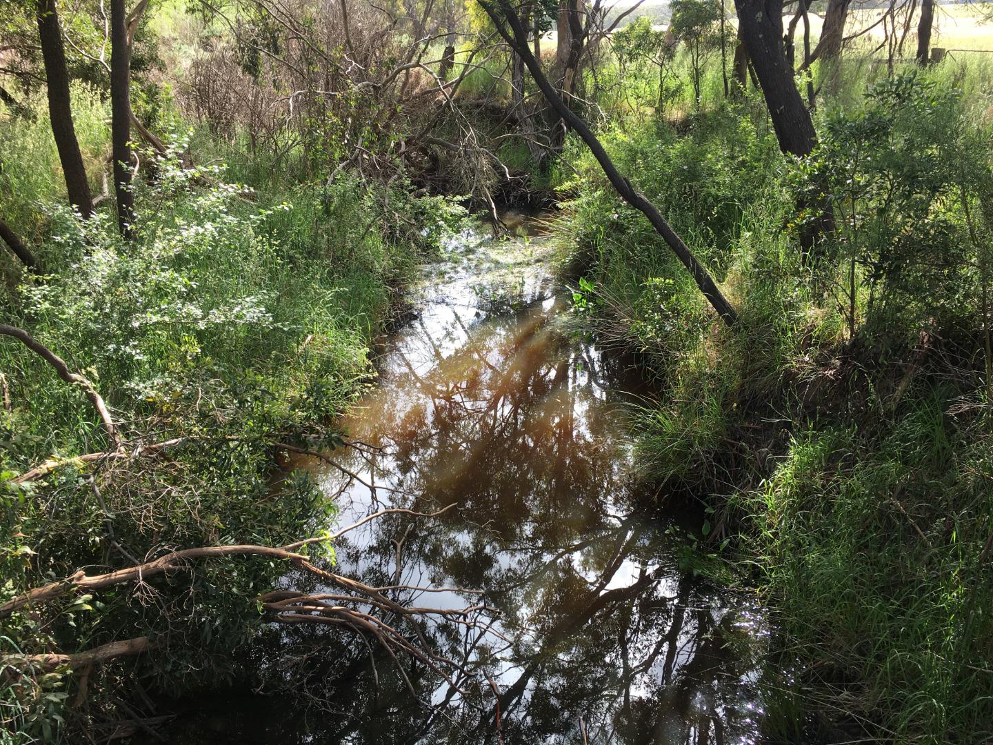
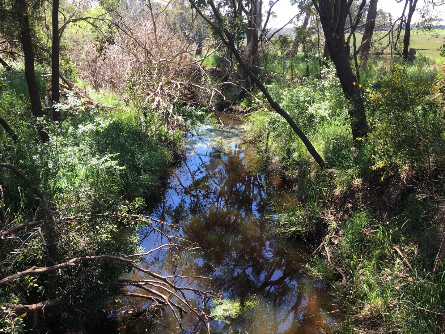
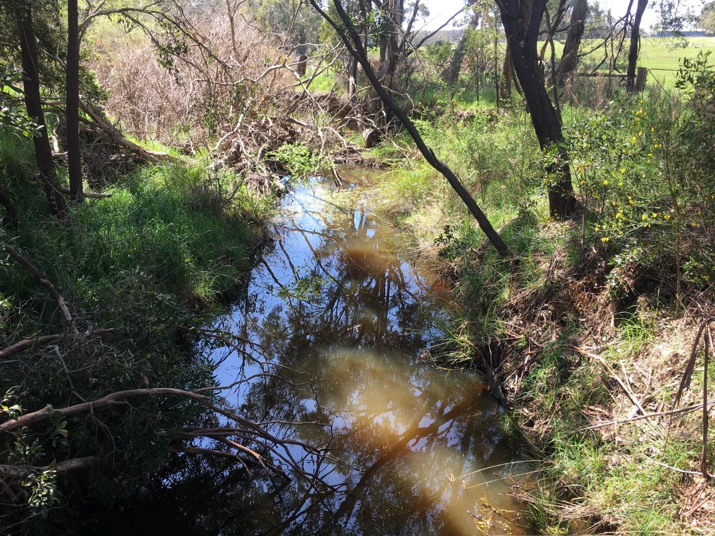
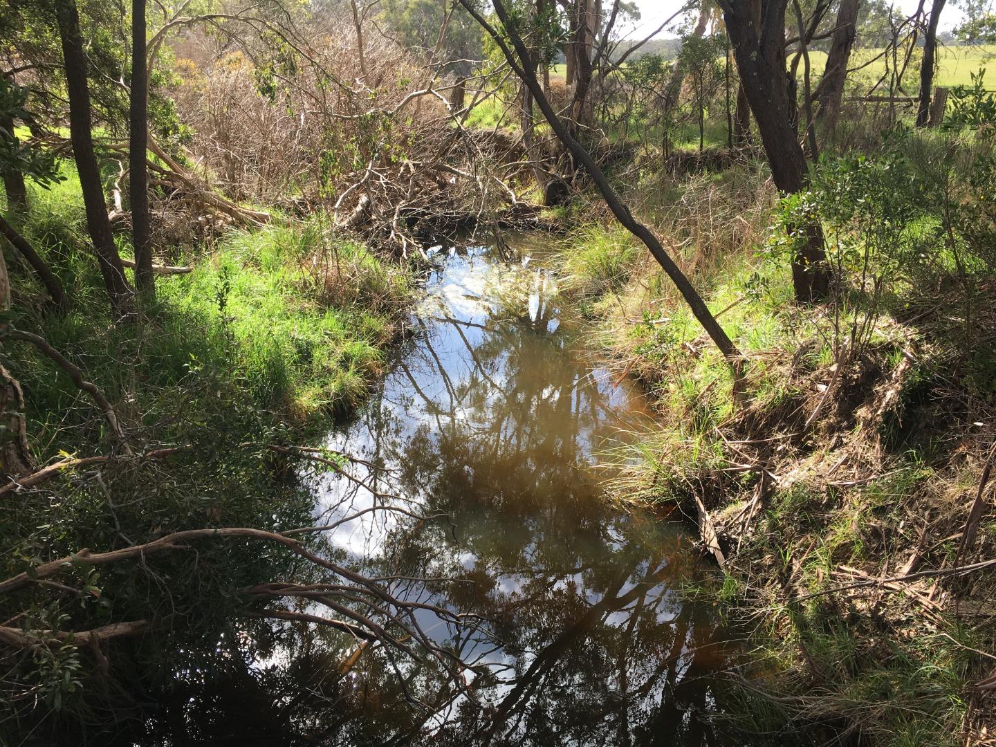
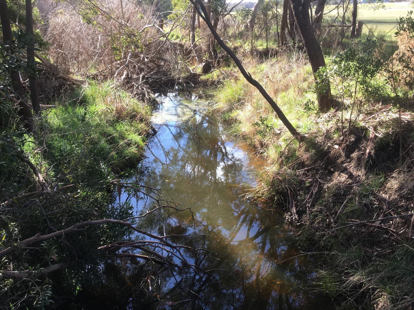
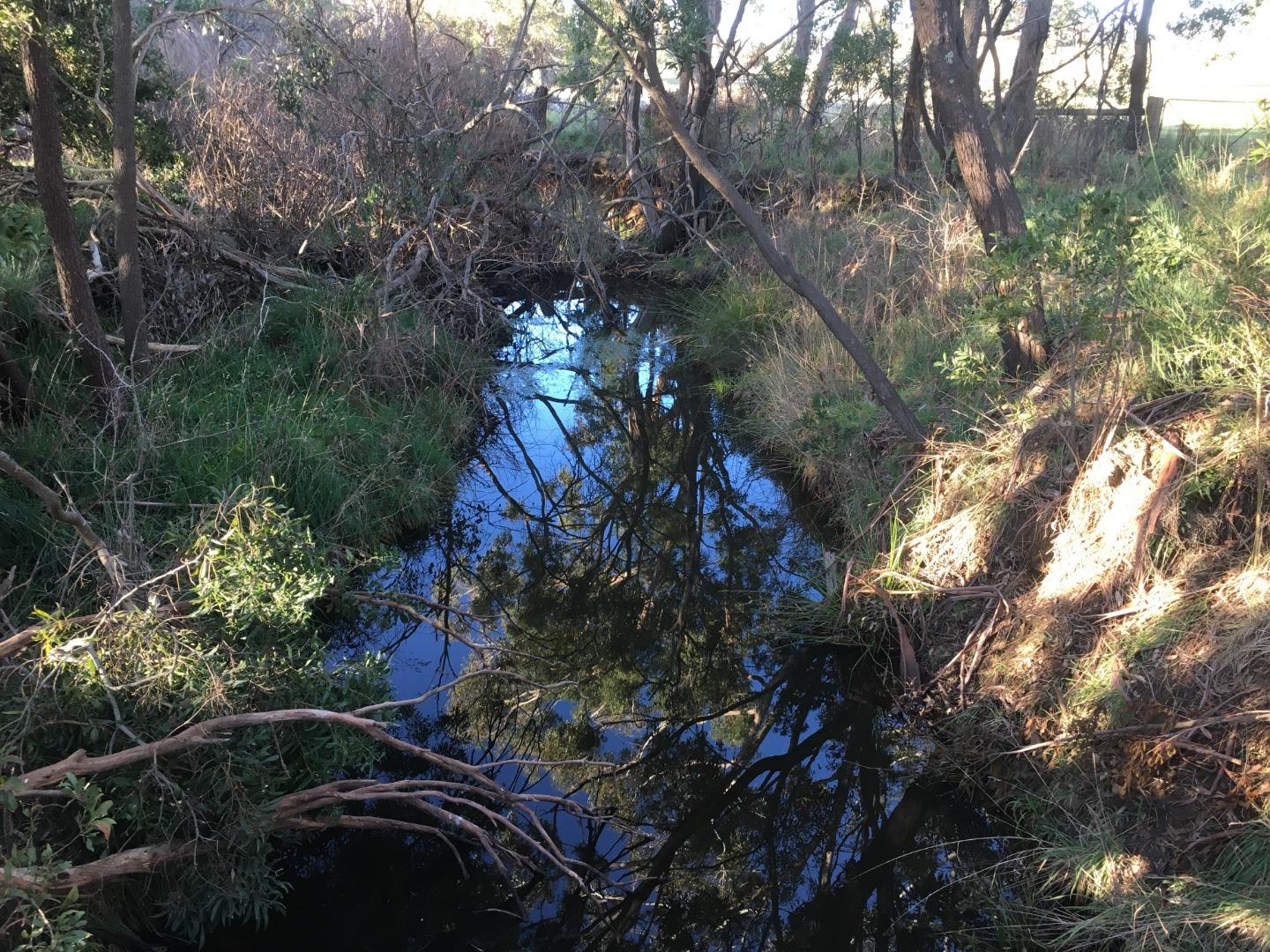
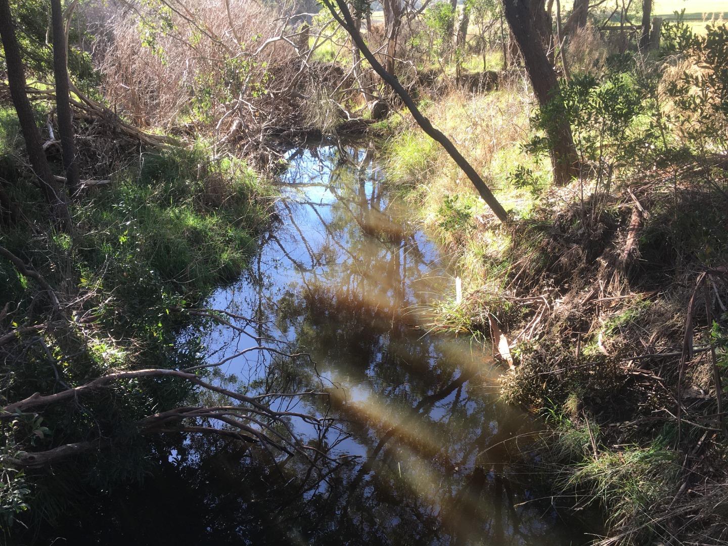
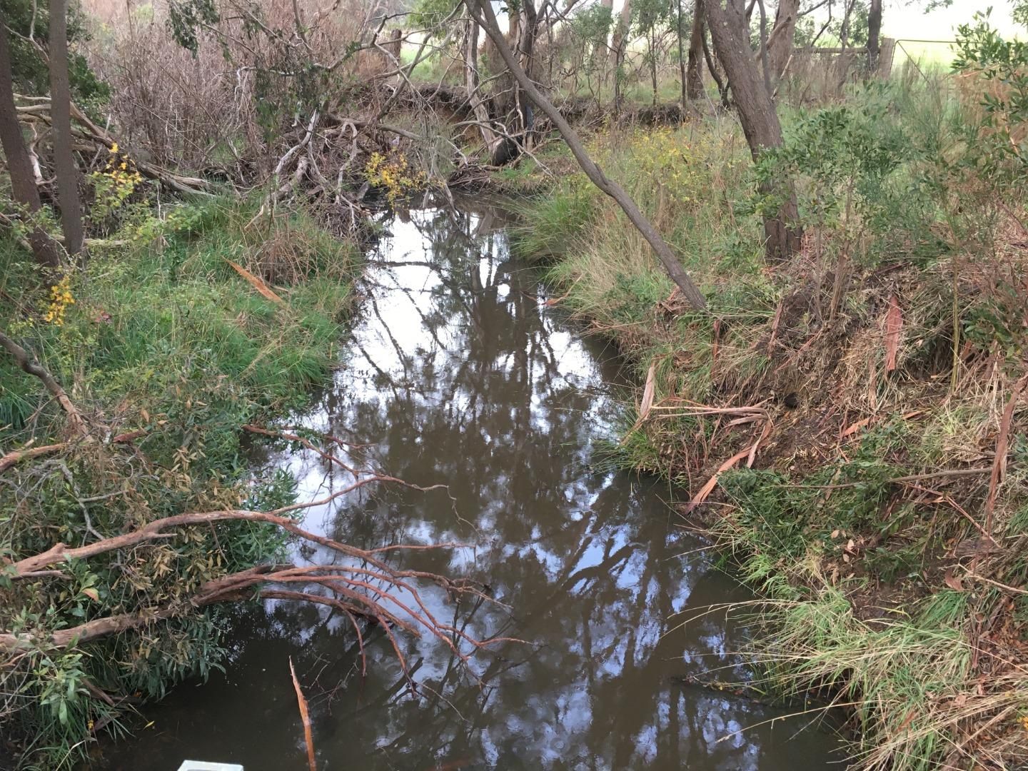
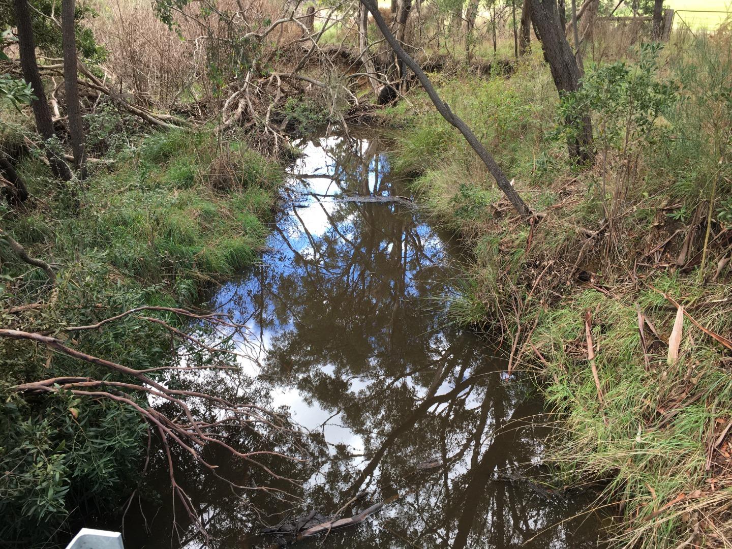
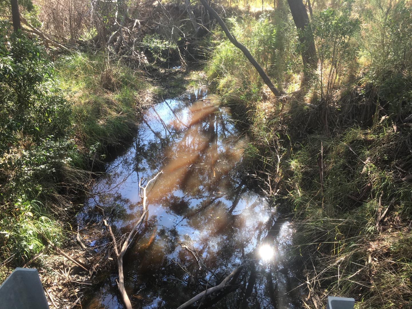
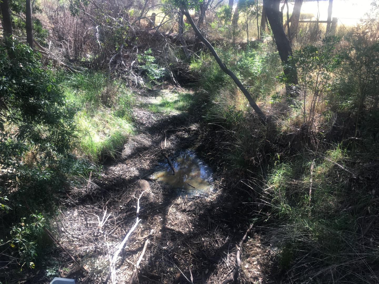
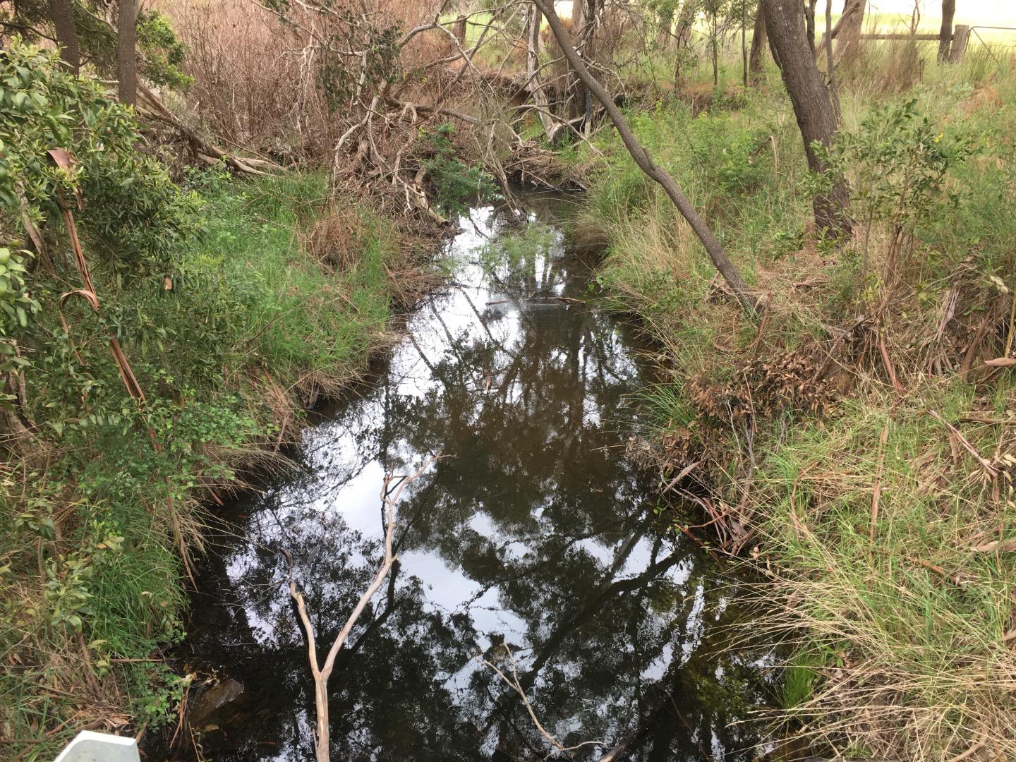
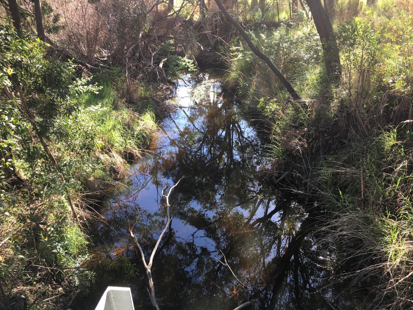
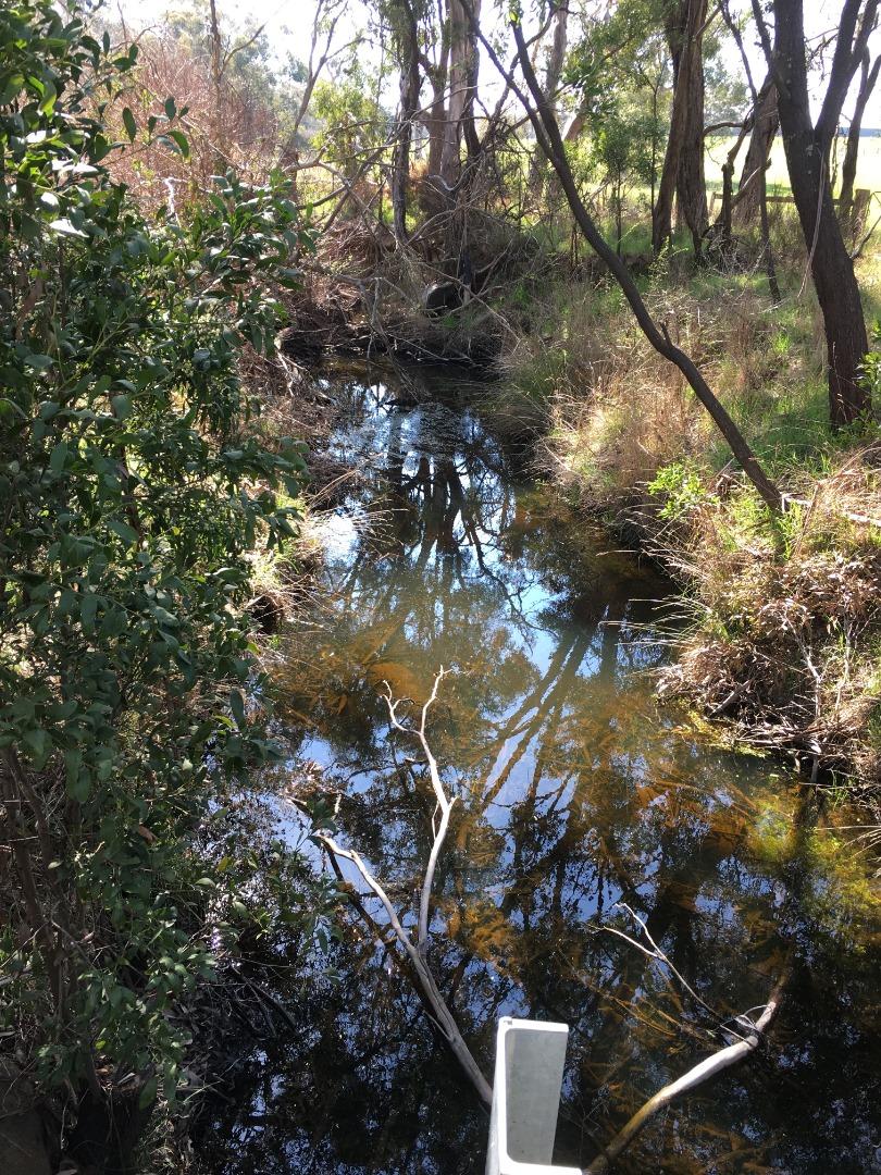
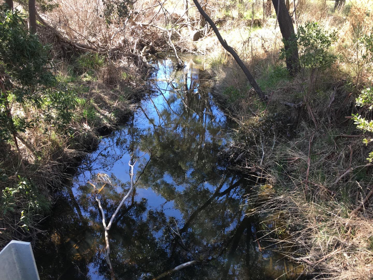
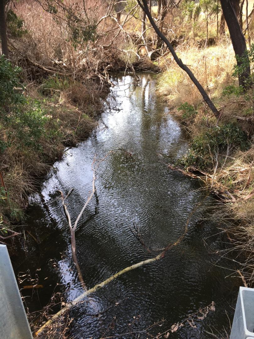
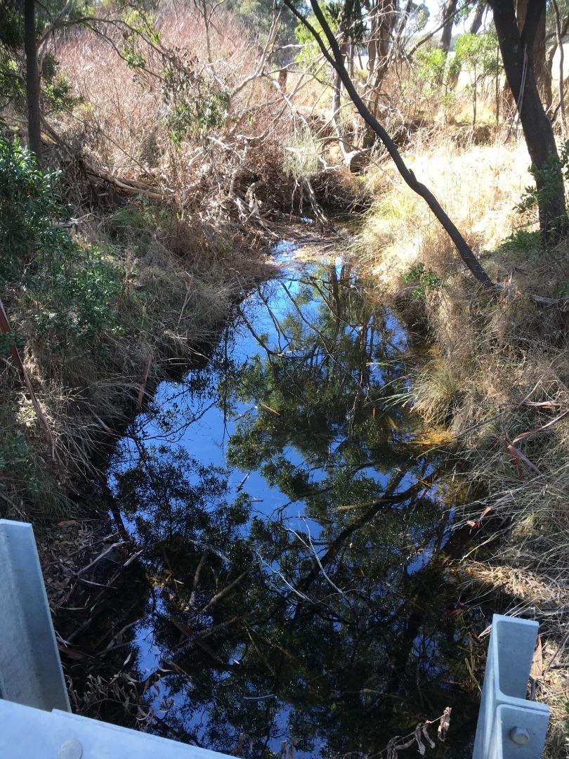
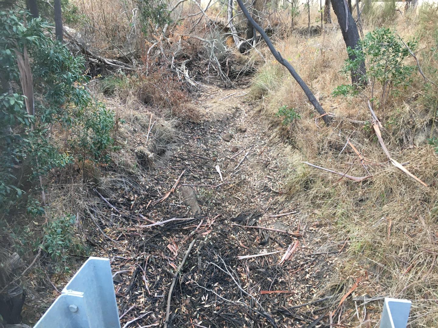
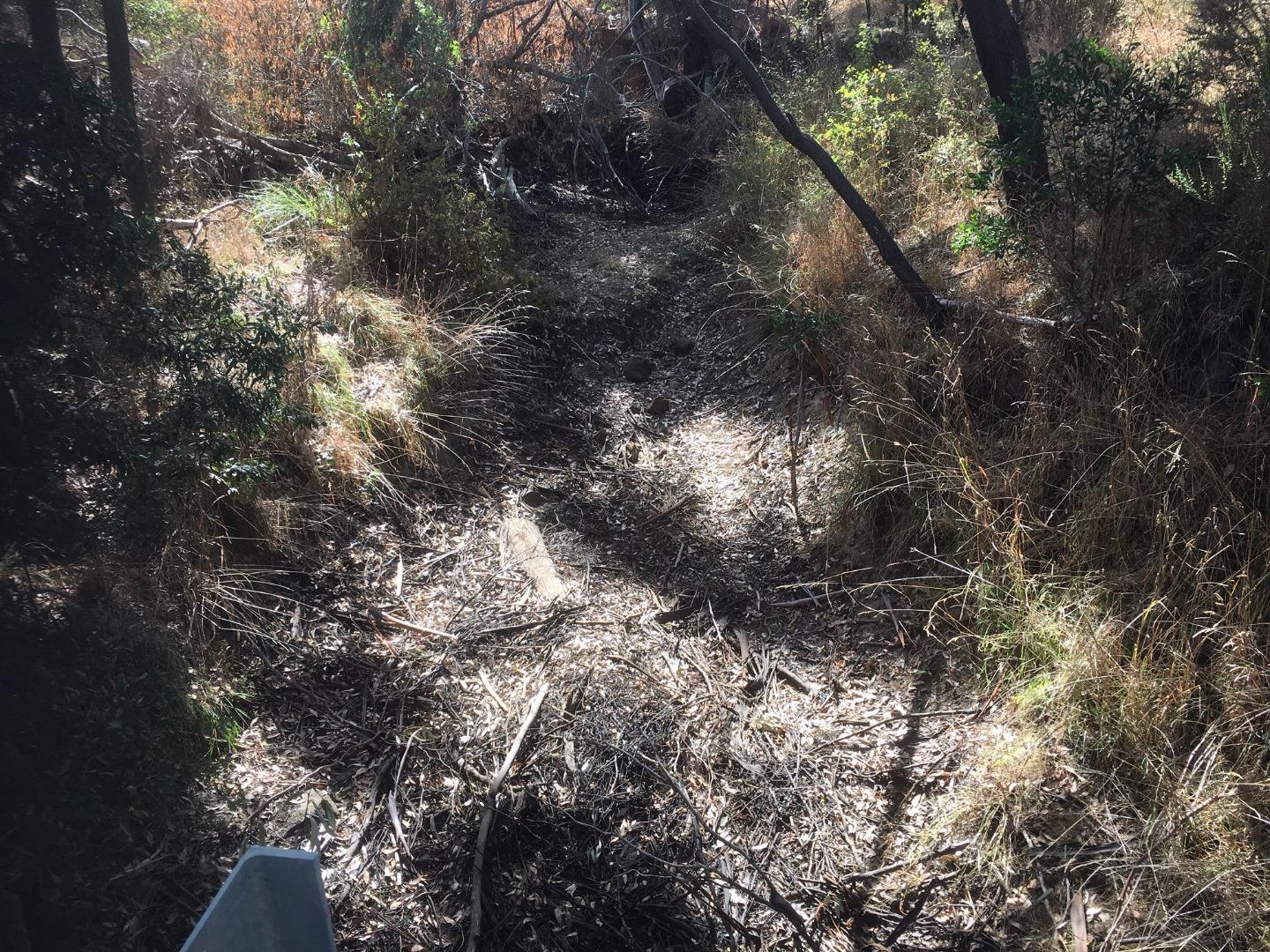
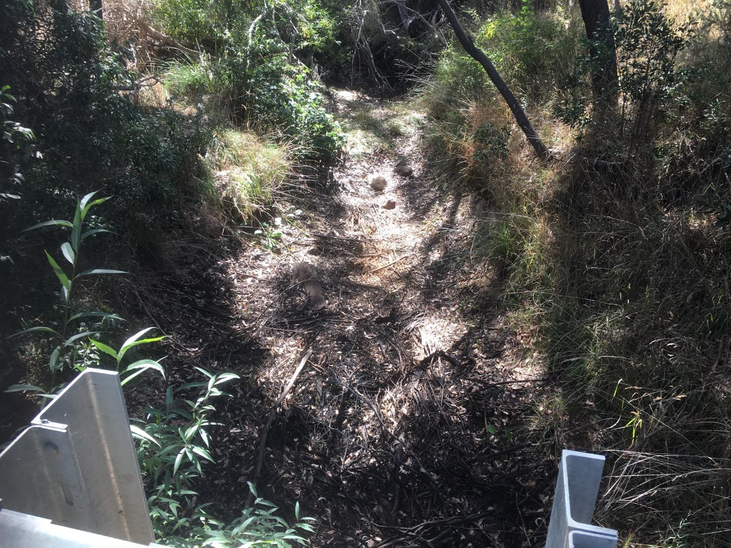
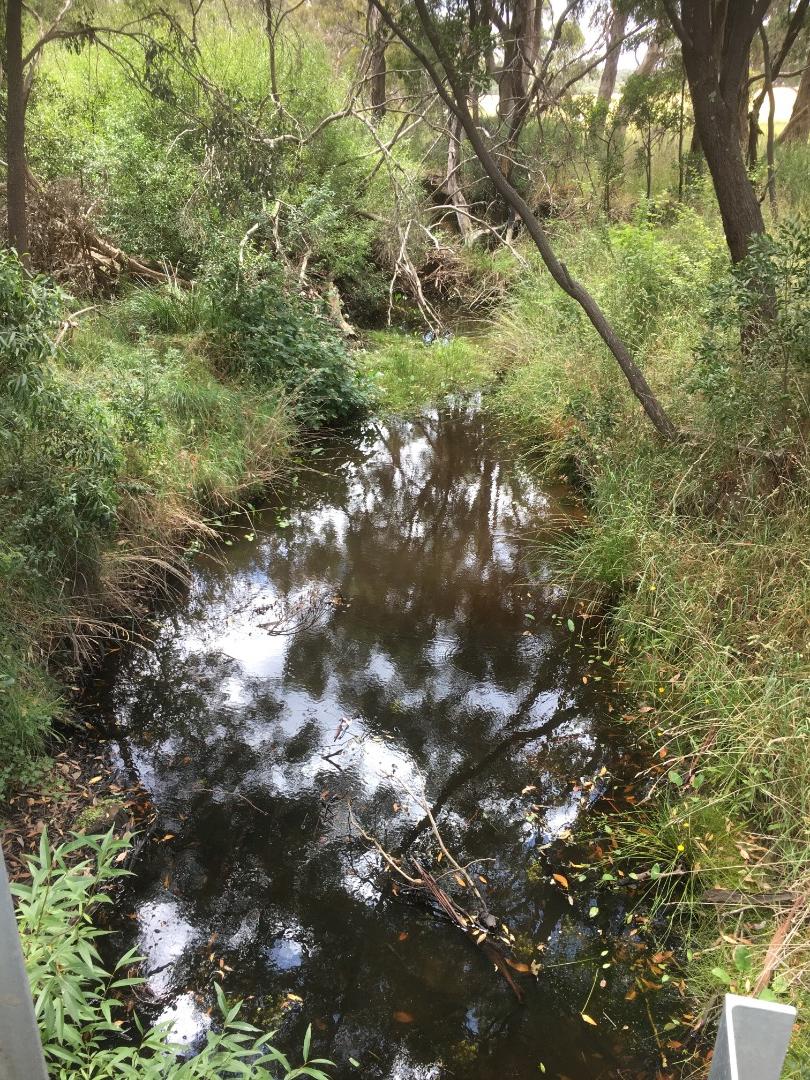
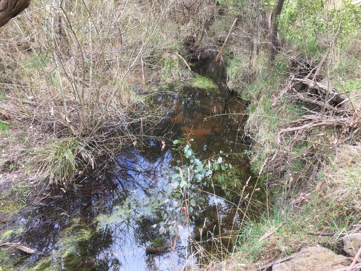
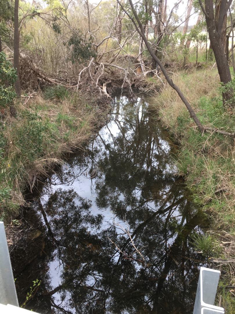
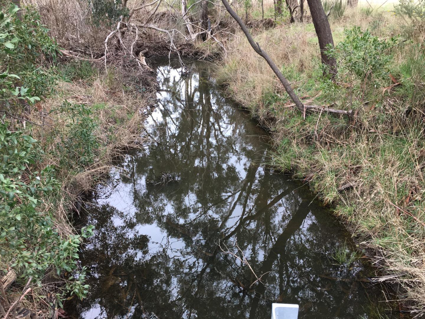
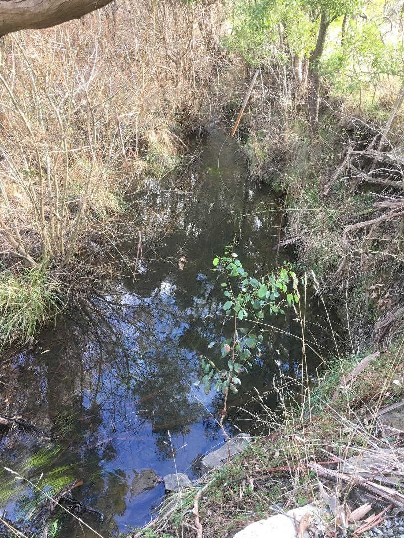
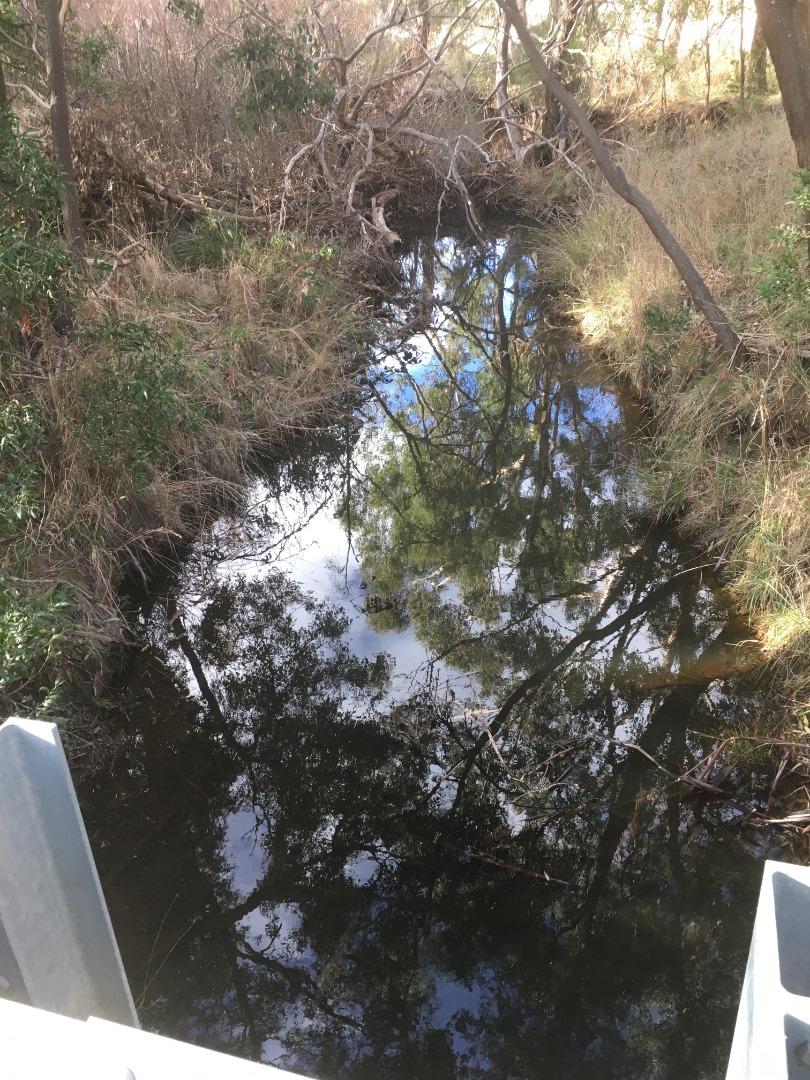
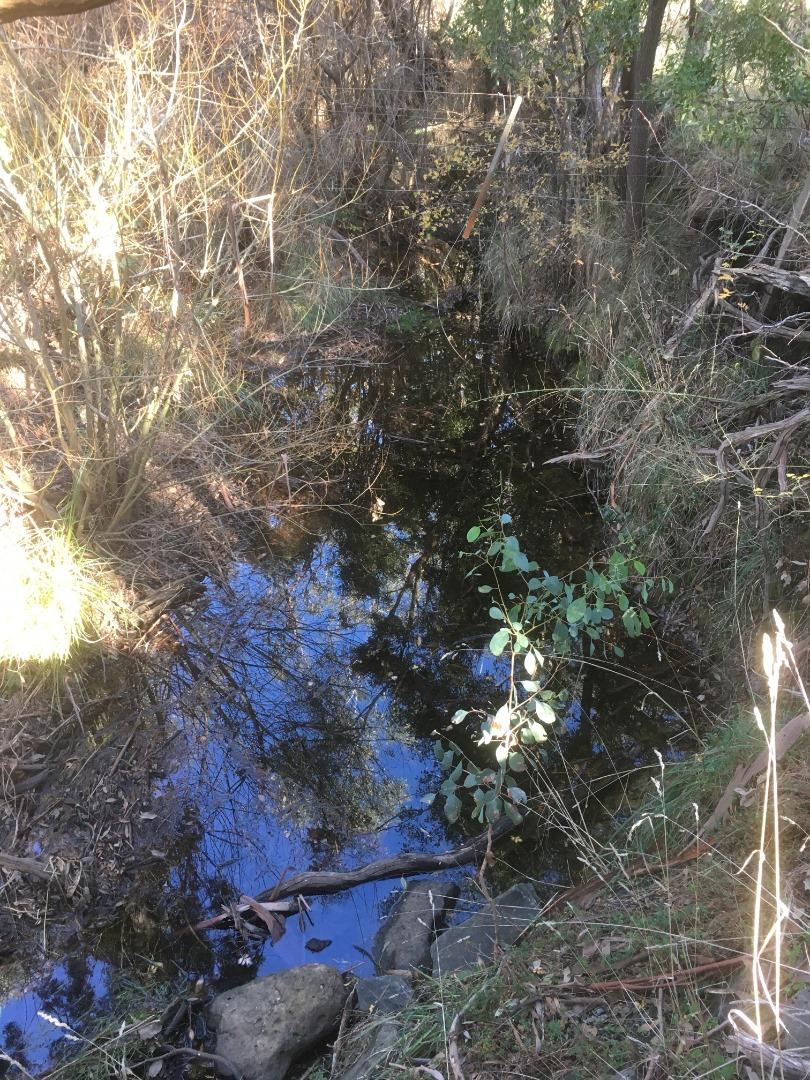
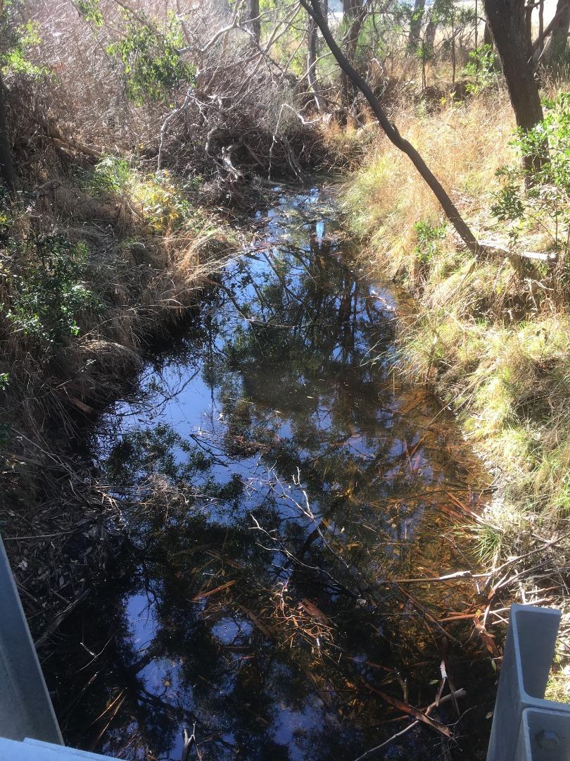
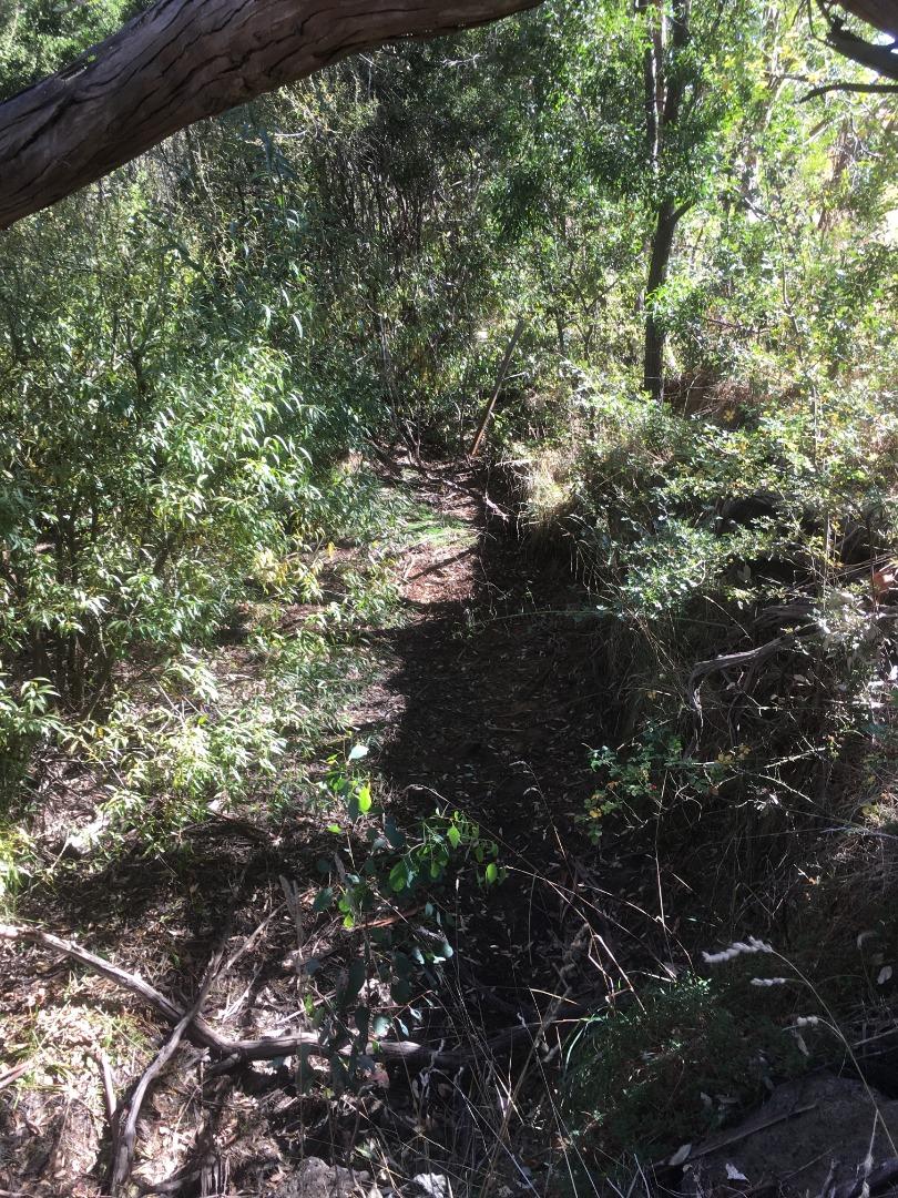
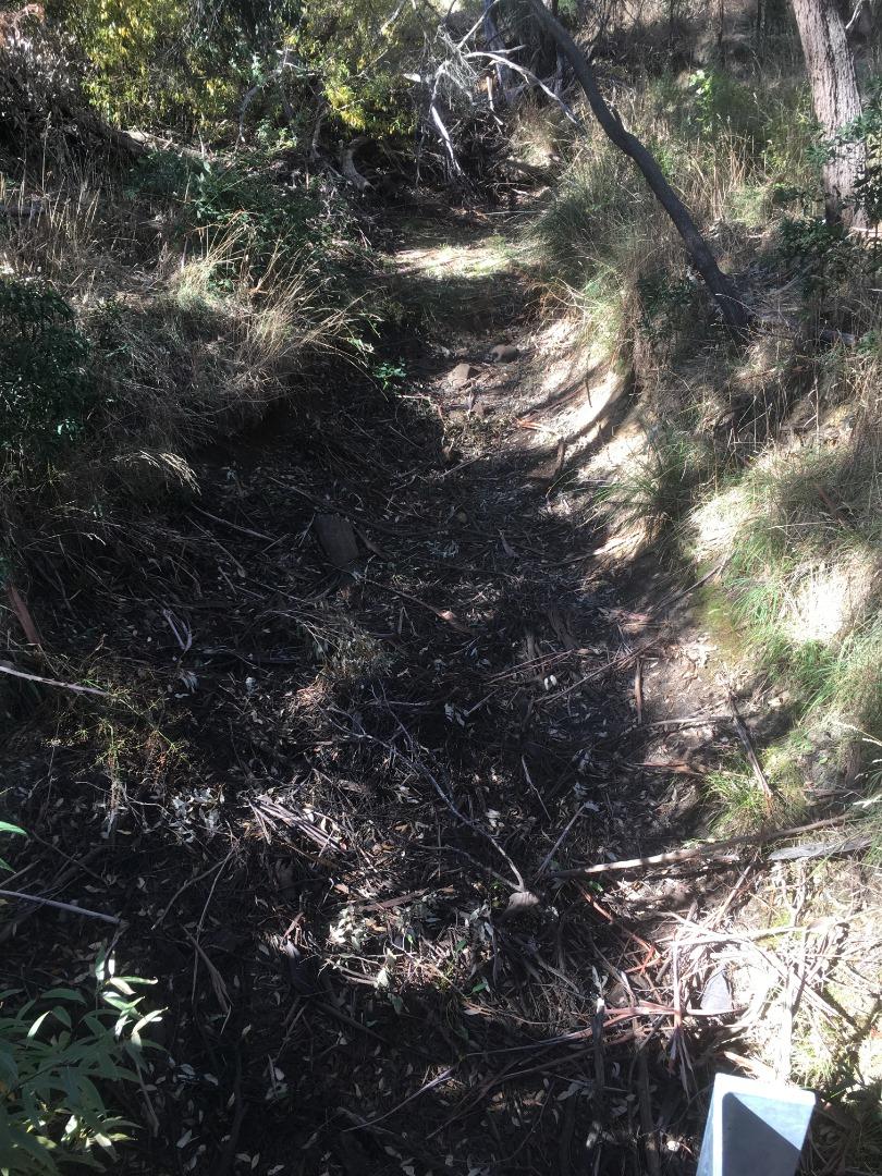
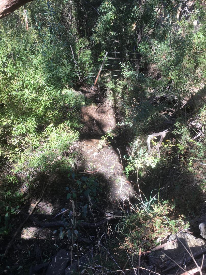
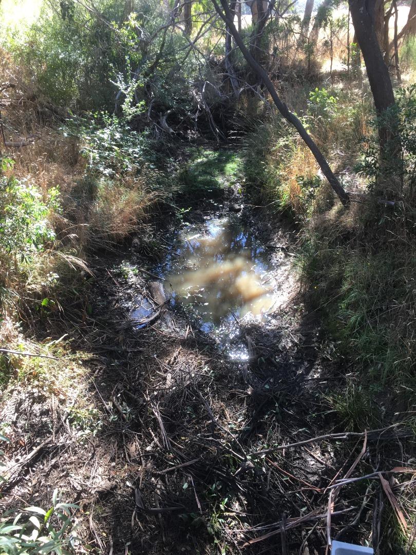
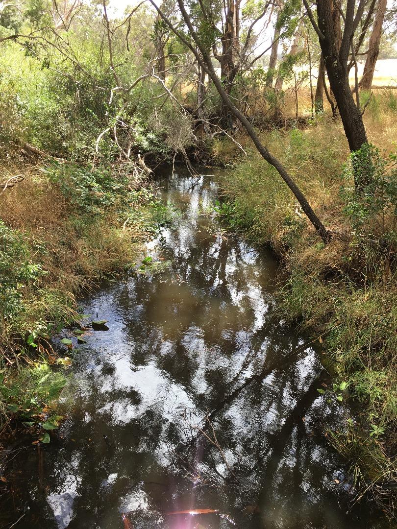
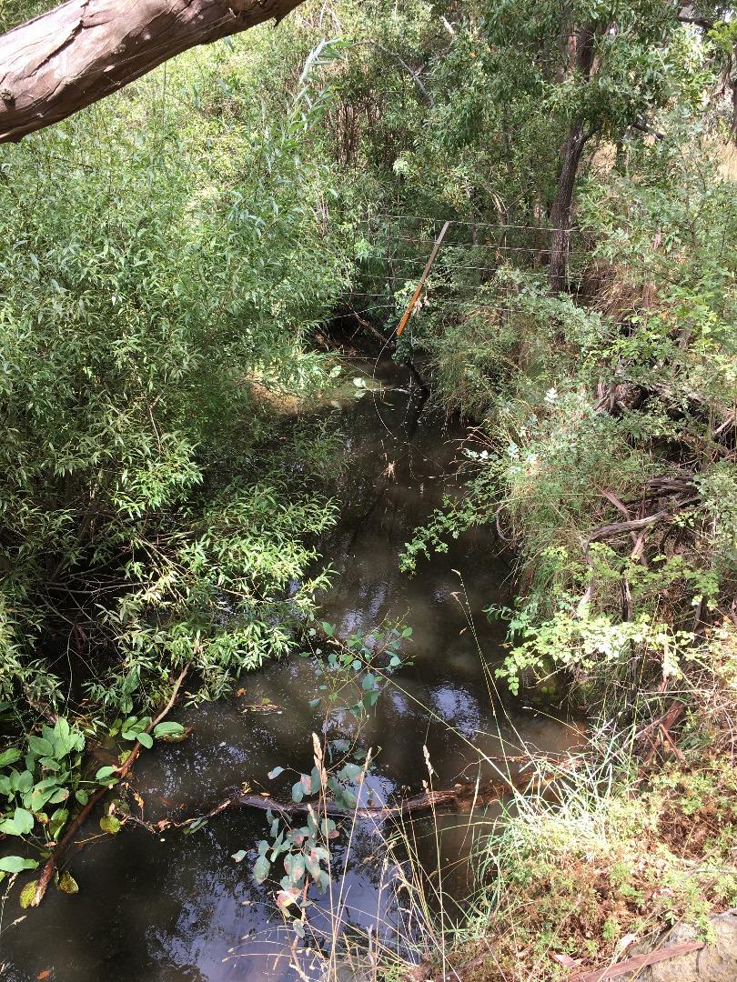
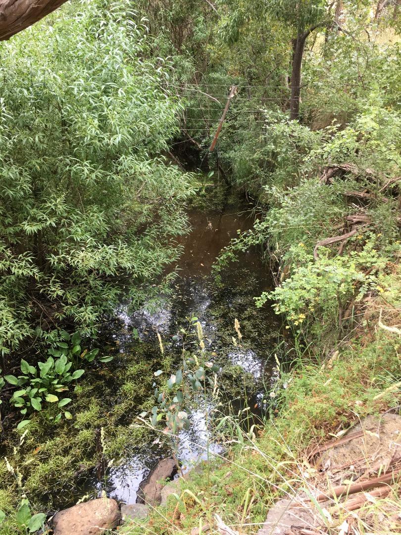
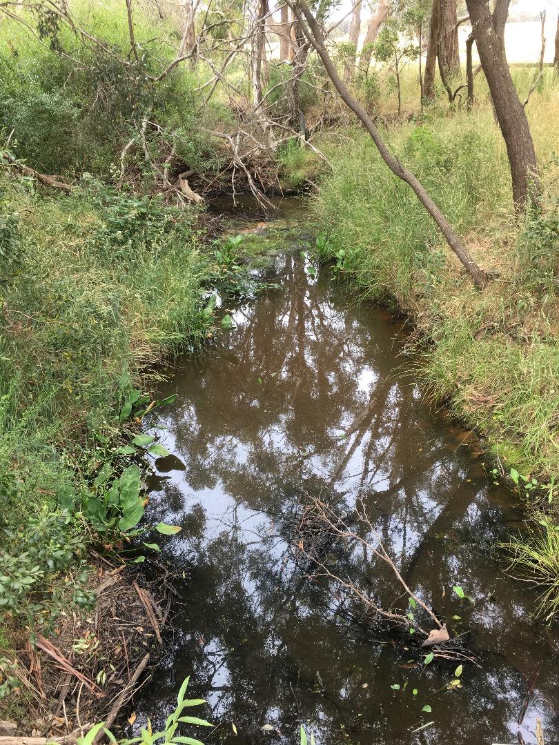
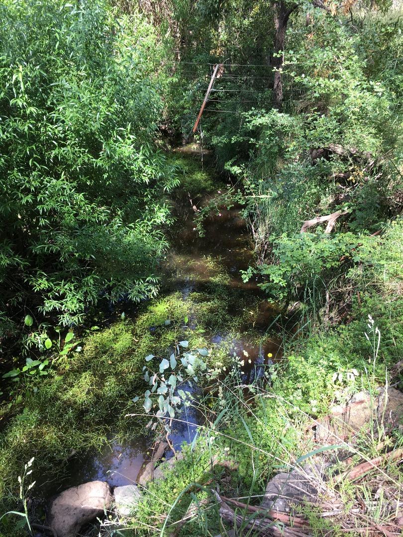
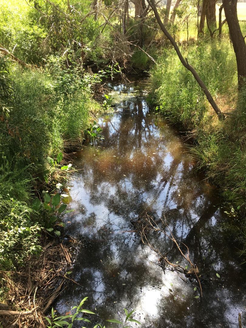
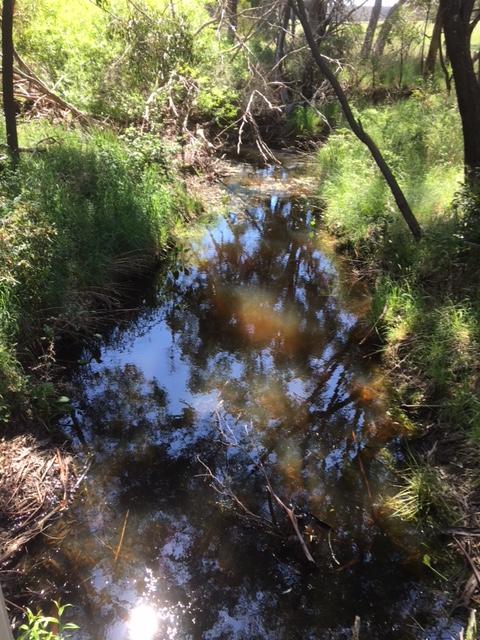
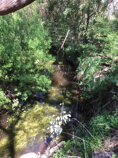
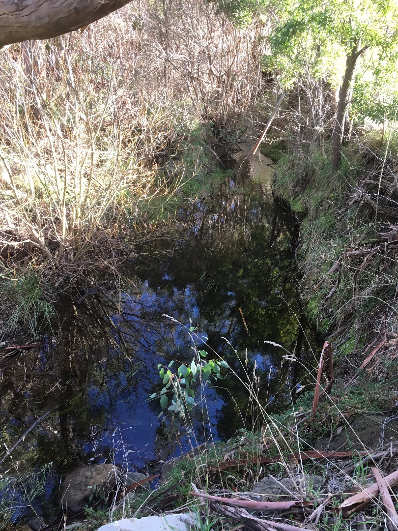
| Site name | Garden Hut Creek@ Hennebergs rd Bridge |
| Status | Active |
| Water Authority | Melbourne |
| Basin | Maribyrnong River |
| Catchment | Maribyrnong River |
| Sub catchment | Deep Creek |
| Reach | |
| Water type | Creek |
| Council | Macedon Ranges Shire Council |
| History | View all 135 site visits 29-05-2012 - 03-04-2024 |
| Monitoring organisations |
|
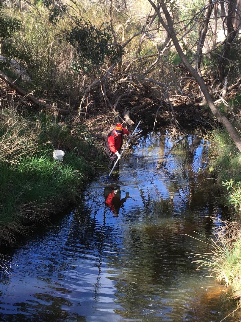
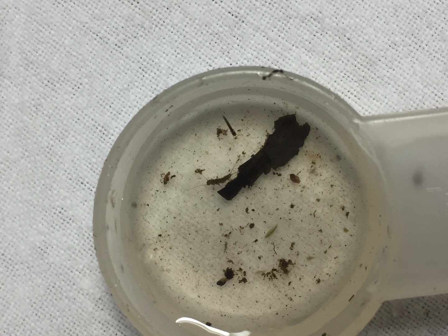
Site visits
 Loading chart
| Date | N mg/L NH4+ | D.O. % | D.O mg/L | EC µS/cm | pH pH Units | rP mg/L P | Air ° C | Water ° C | Turb NTU |
|---|---|---|---|---|---|---|---|---|---|
| 04-05-2022 | 55.38 | 6 | 470 | 7.1 | 0.05 | 14 | 11.7 | 9 | |
| 05-06-2022 | 67.99 | 8 | 520 | 7.2 | 0.05 | 5 | 8.2 | 11 | |
| 03-07-2022 | 82.27 | 10 | 370 | 7.5 | 0 | 6.3 | 6.9 | 9 | |
| 02-09-2022 | 68.76 | 8 | 240 | 7.4 | 0.03 | 7.6 | 8.7 | 9 | |
| 01-10-2022 | 83.19 | 9 | 220 | 7 | 0.02 | 13 | 11.8 | 9 | |
| 06-11-2022 | 95.82 | 10 | 230 | 7.1 | 0.07 | 18.7 | 13.4 | 9 | |
| 04-12-2022 | 66.95 | 6 | 220 | 7.2 | 0.05 | 30.5 | 20.7 | 9 | |
| 03-01-2023 | 54.7 | 5 | 250 | 7.1 | 0.05 | 17.7 | 19.7 | 9 | |
| 03-02-2023 | 64.43 | 7 | 320 | 7 | 0.03 | 10.2 | 11.6 | 9 | |
| 02-03-2023 | 34.19 | 3.5 | 730 | 7 | 0.07 | 17.6 | 14.2 | 13 | |
| 04-04-2023 | 47.11 | 5 | 530 | 6.8 | 0.03 | 20.5 | 12.6 | 9 | |
| 05-05-2023 | 87.88 | 10 | 440 | 7.2 | 0.02 | 10.3 | 9.6 | 9 | |
| 01-06-2023 | 73.49 | 8 | 420 | 6.8 | 0.02 | 10.9 | 11.5 | 9 | |
| 29-06-2023 | 83.29 | 10 | 340 | 7.4 | 0.02 | 6.8 | 7.4 | 9 | |
| 03-09-2023 | 85.56 | 10 | 330 | 7.3 | 0.02 | 16 | 8.5 | 9 | |
| 09-10-2023 | 89.73 | 10 | 320 | 7.3 | 0.02 | 11.8 | 10.5 | 9 | |
| 05-12-2023 | 72.18 | 7 | 270 | 6.4 | 0.07 | 28.7 | 16.8 | 9 | |
| 04-01-2024 | 72.2 | 7 | 320 | 7 | 0.07 | 17 | 16.8 | 9 | |
| 04-02-2024 | 50.16 | 5 | 290 | 6.8 | 0.15 | 25 | 15.5 | 18 | |
| 06-03-2024 | 37.1 | 3.5 | 470 | 6.6 | 0.02 | 31 | 18.1 | 60 |
Habitat
| Date | Comment | Bank Erosion Stability | Bank Vegetation | In Stream Cover | Riffles Pools Bends | Verge Vegetation | Overall |
|---|---|---|---|---|---|---|---|
| 02-01-2021 | Good 4 | Good 8 | Excellent 10 | Excellent 5 | Good 8 | 35 | |
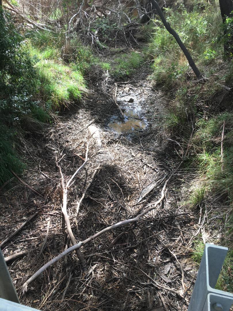
| 28-05-2018 | <p>Monitoring site had torally dried our during summer until rainfall 10 to 12th May (62.6 mm)</p> | Fair 3 | Fair 6 | Fair 6 | Good 4 | Fair 6 | 25 |
| 29-05-2012 | N/A 0 |


All content, files, data and images provided by the Waterwatch Data Portal and Gallery are subject to a Creative Commons Attribution License
Content is made available to be used in any way, and should always attribute Waterwatch and www.vic.waterwatch.org.au
.png)