Waterwatch Data Portal
Site details
Overview
| Site code | ME_MGH440 |
|---|---|
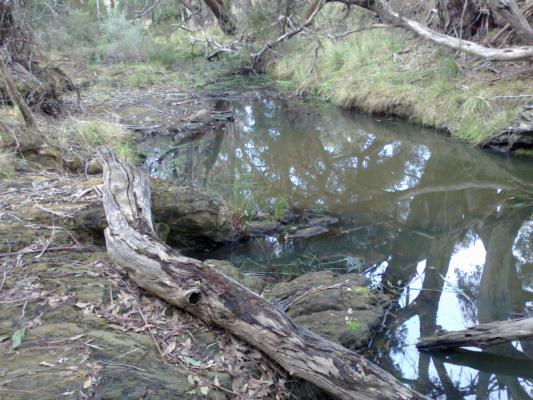
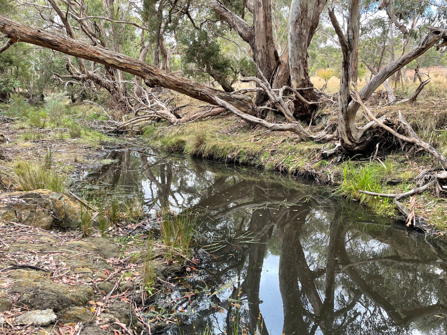
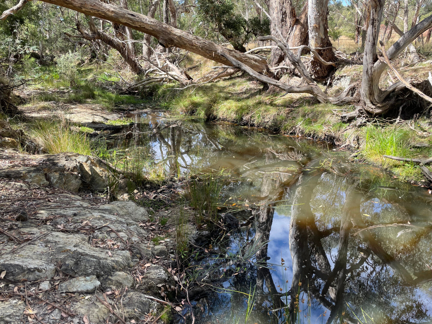
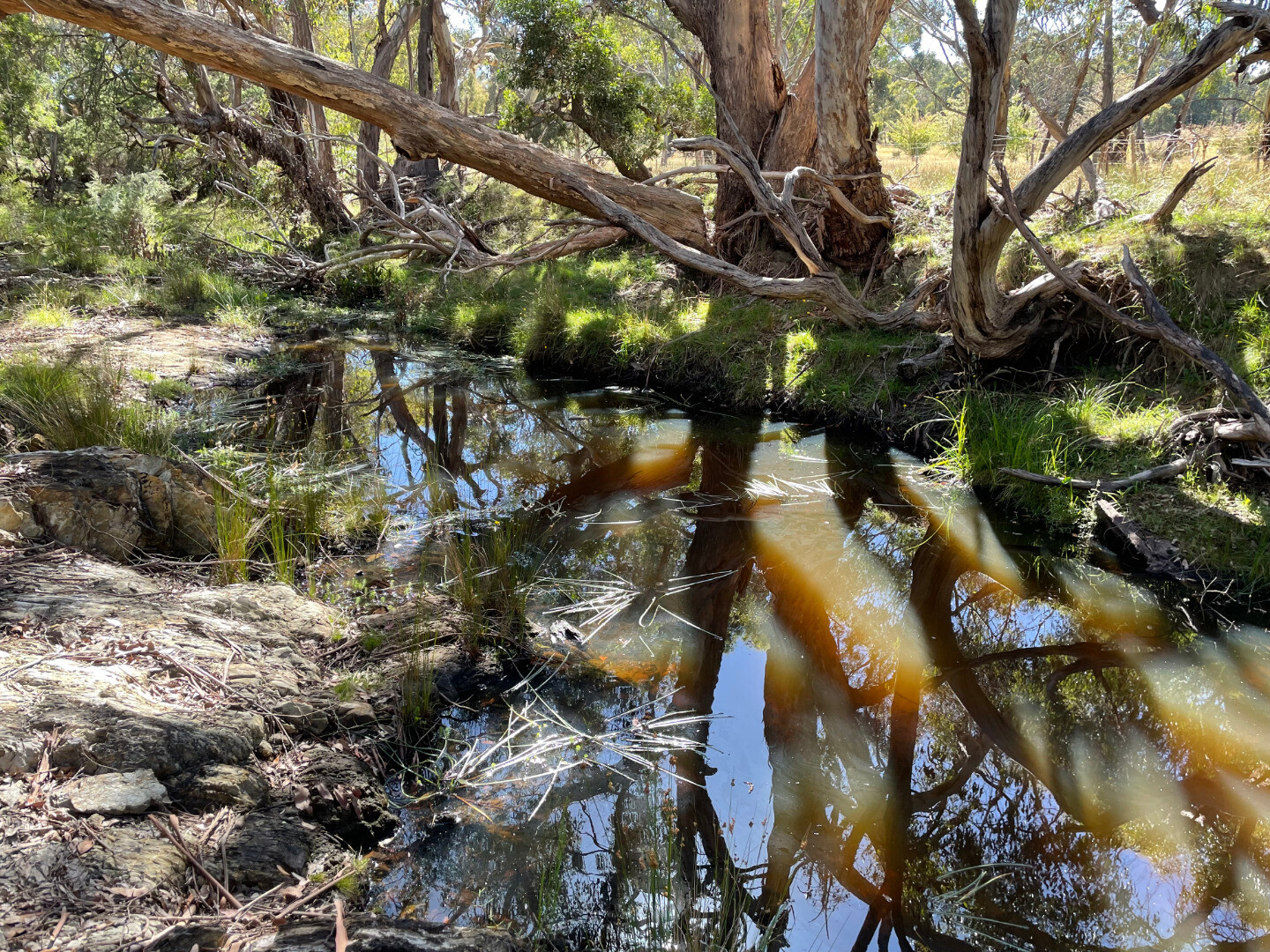
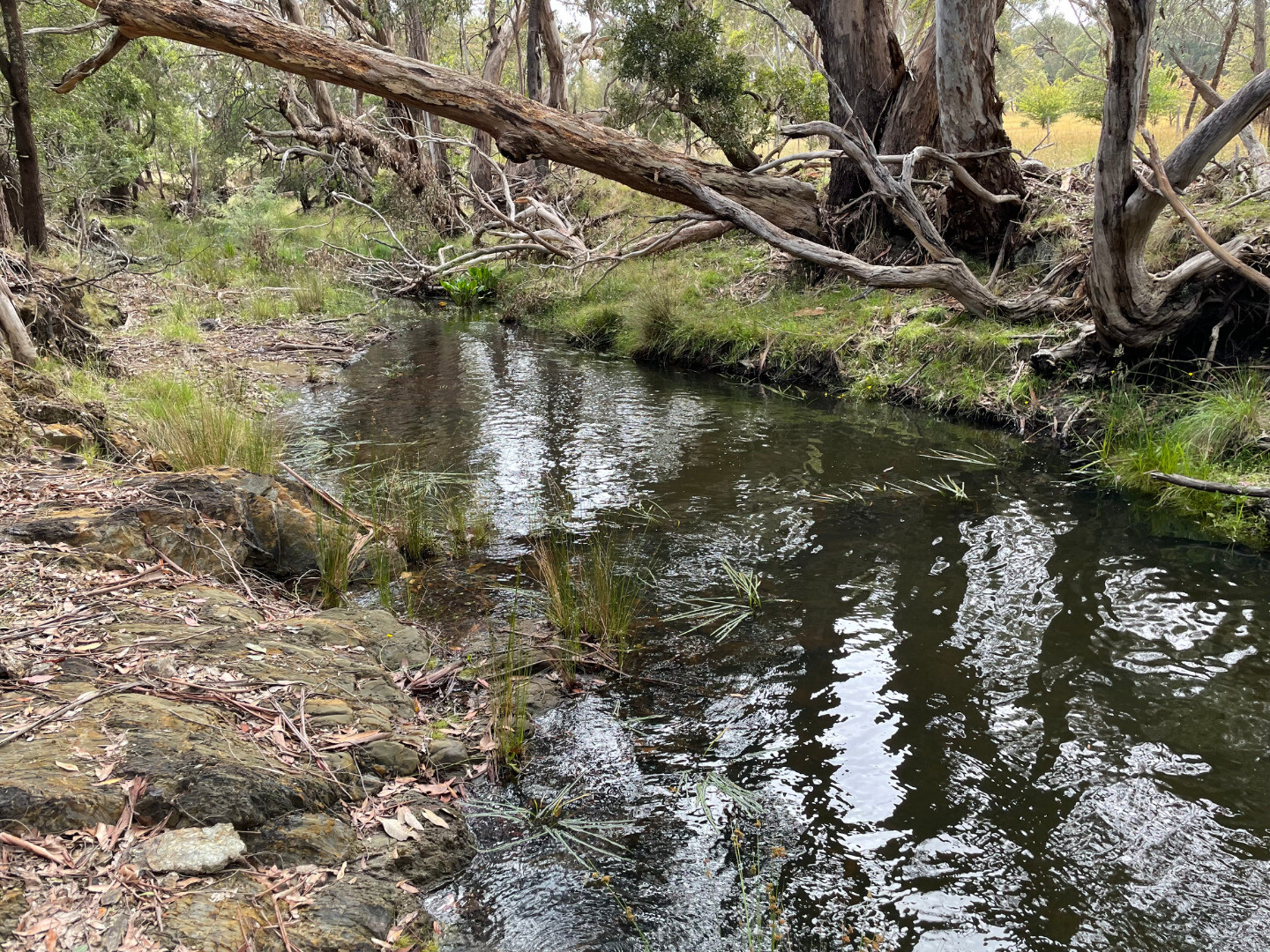
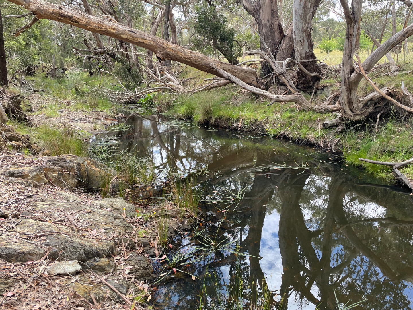
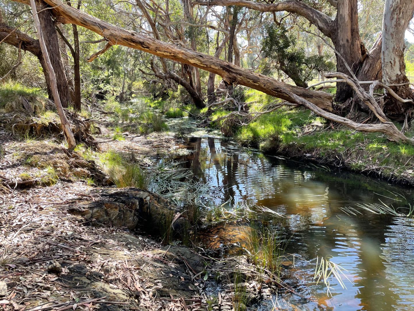
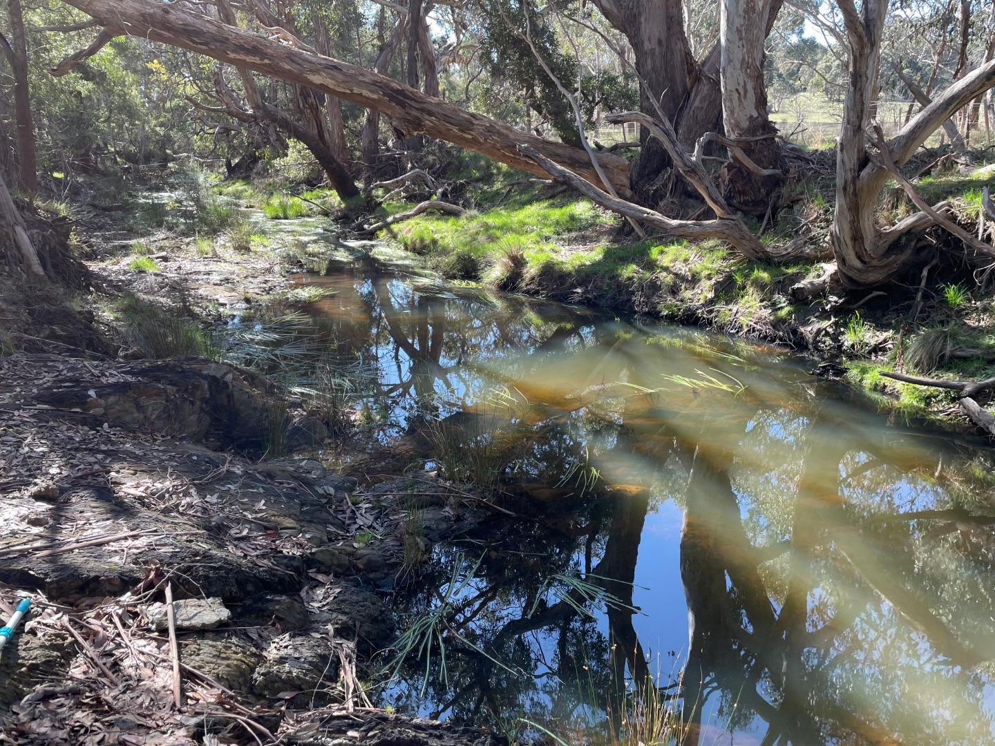
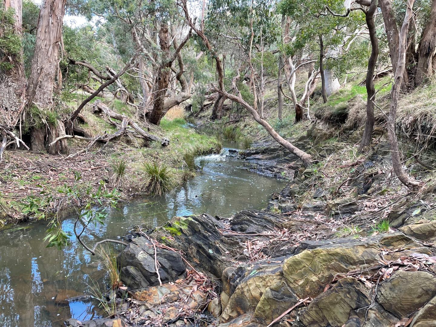
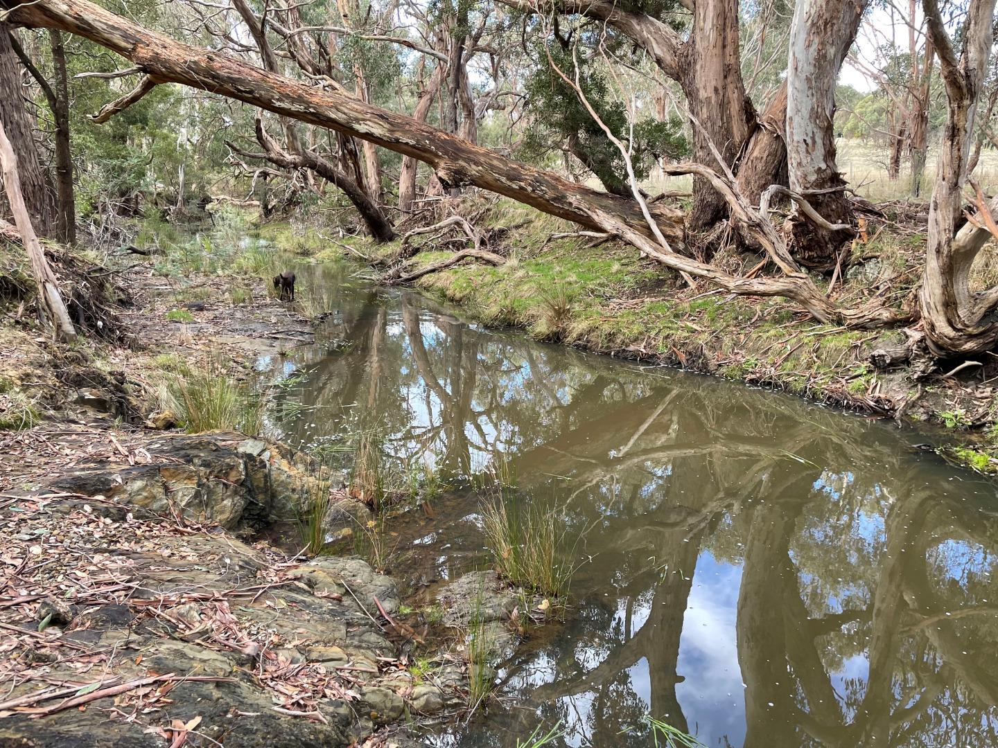
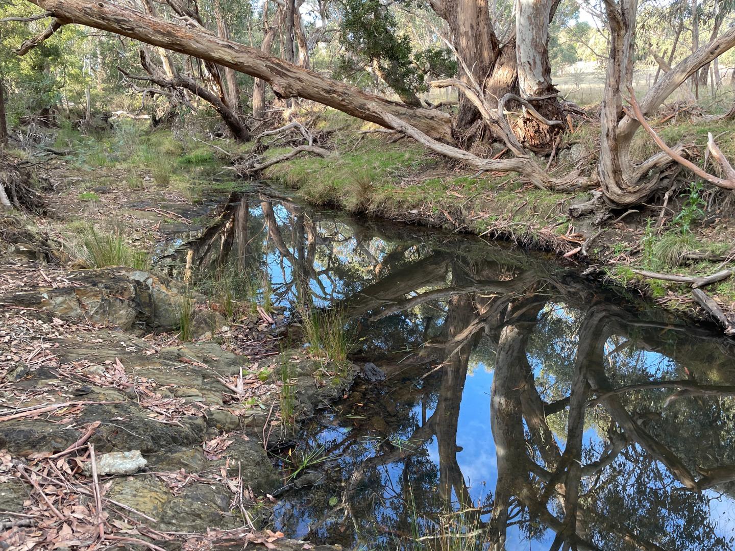
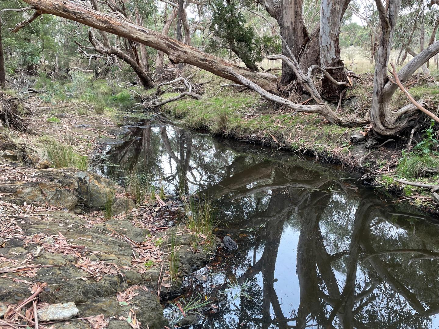
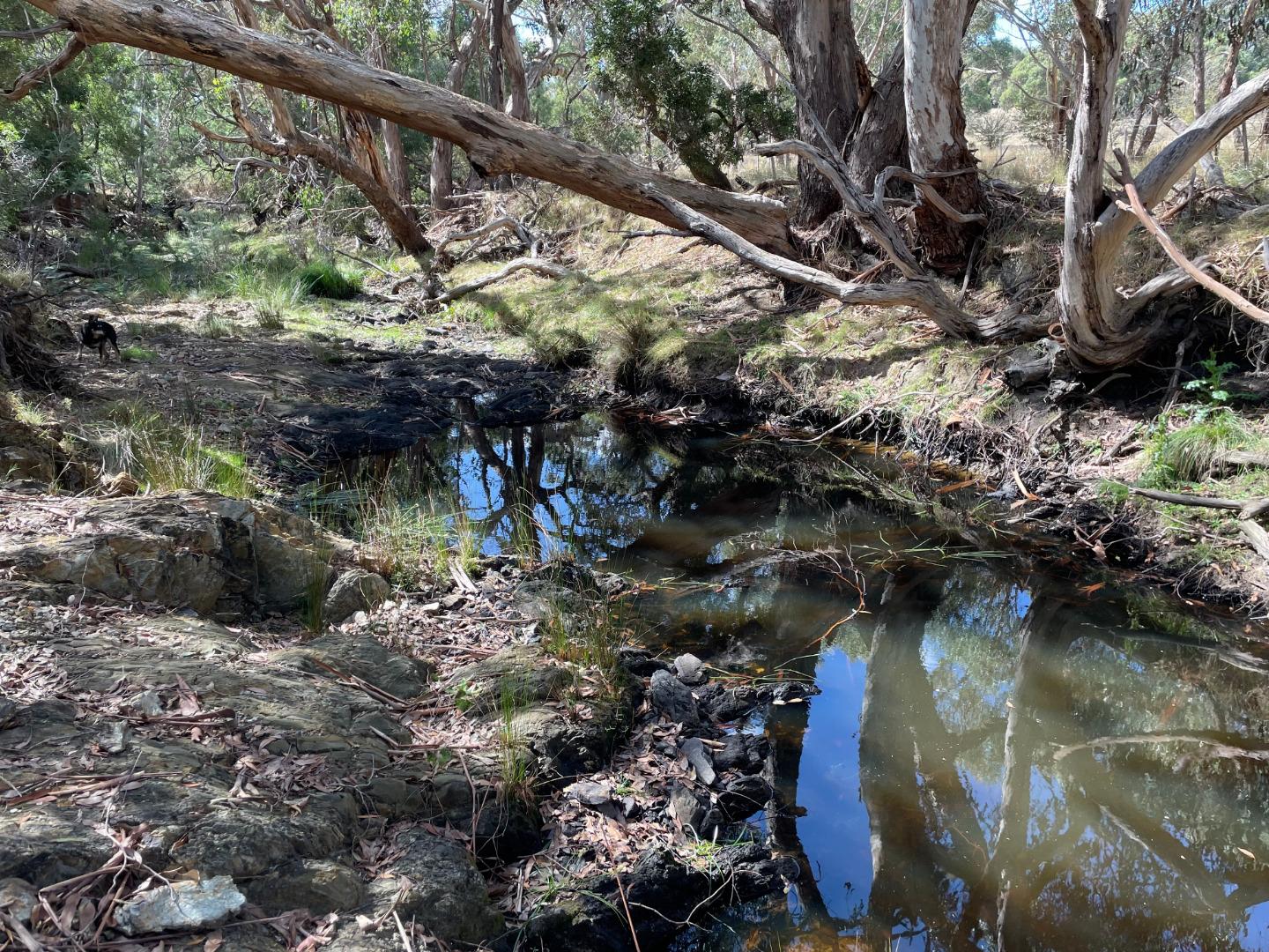
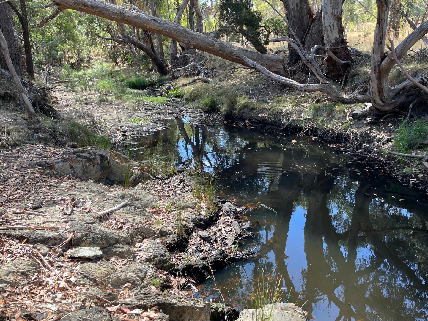
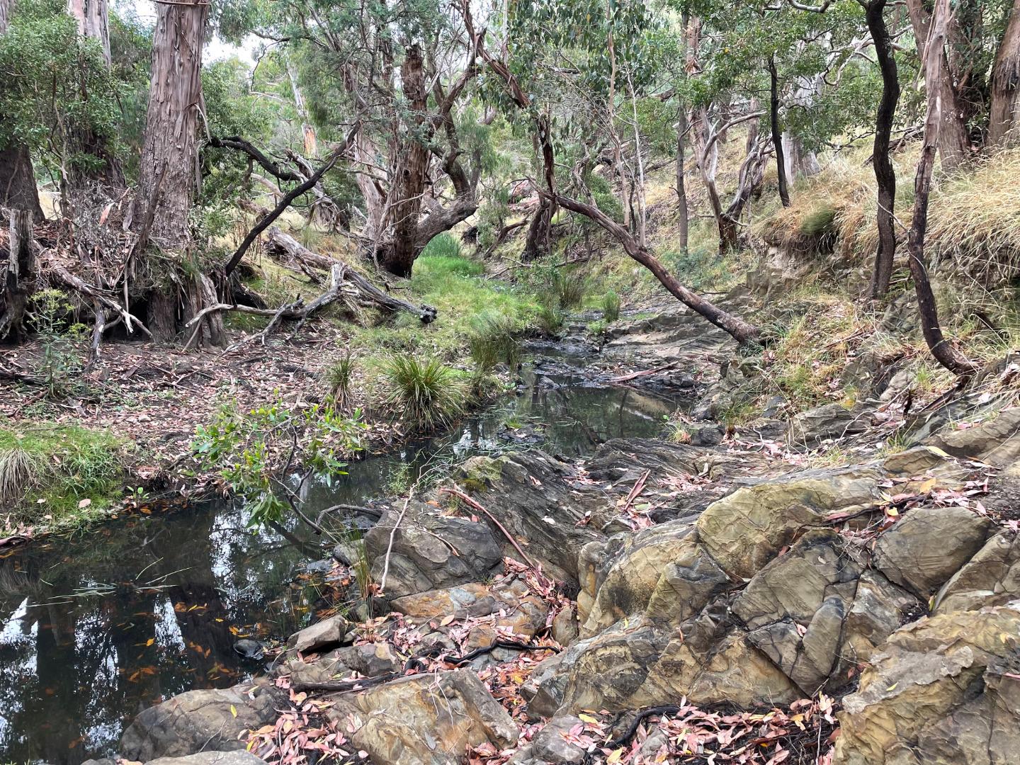
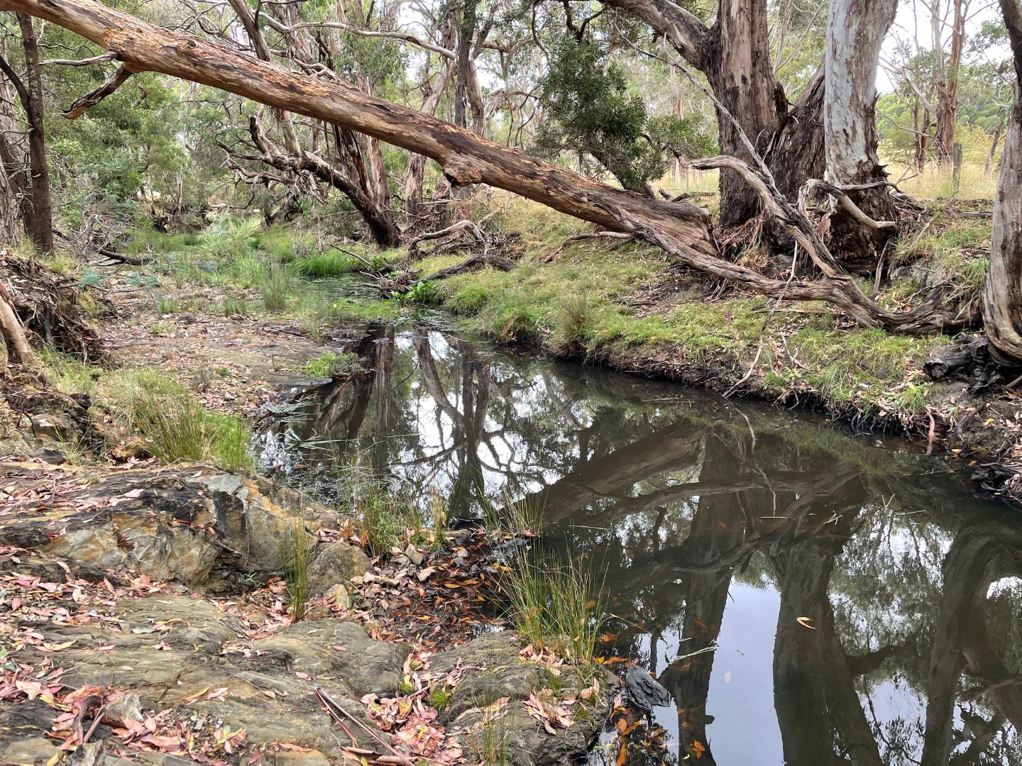
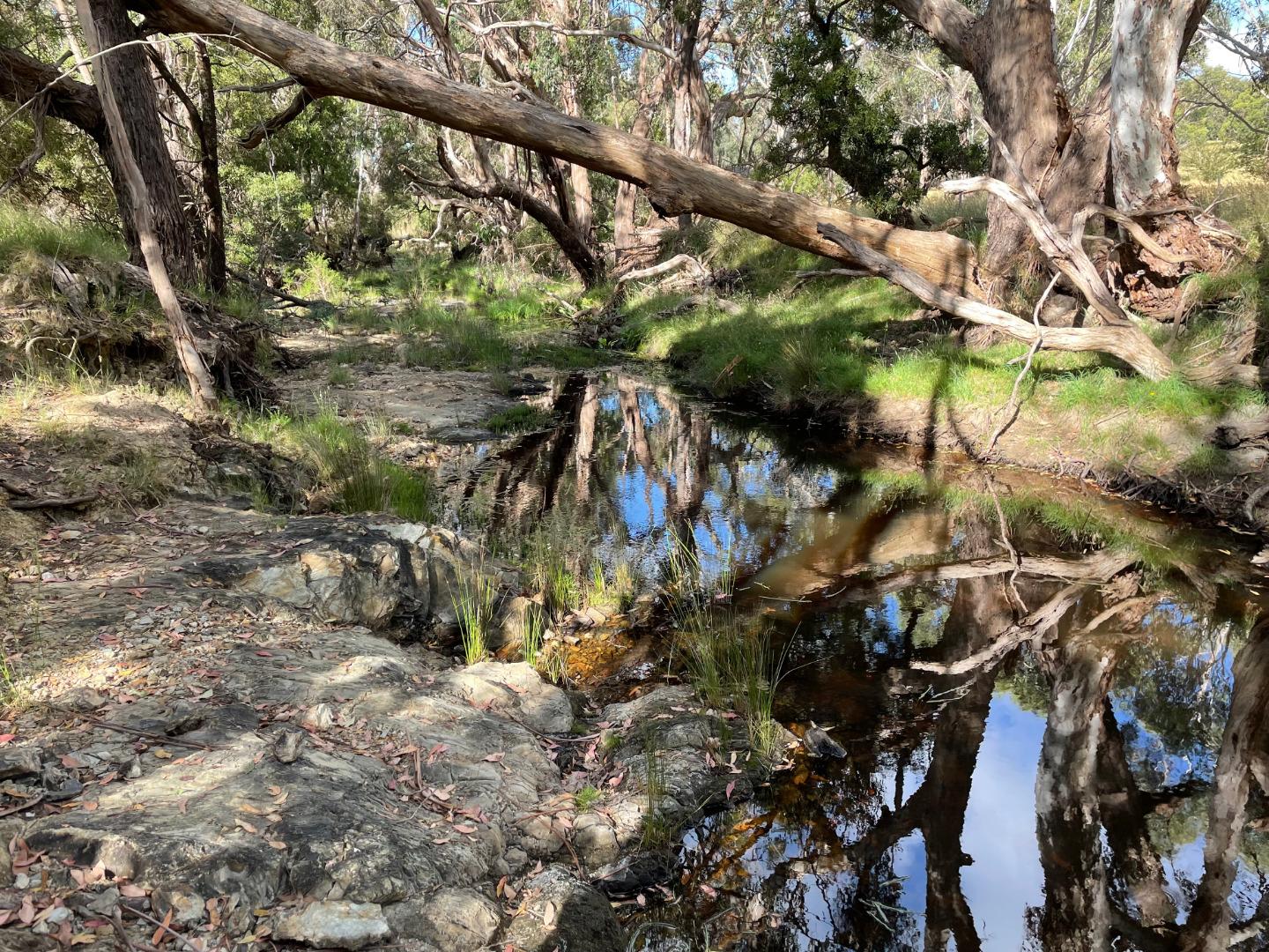
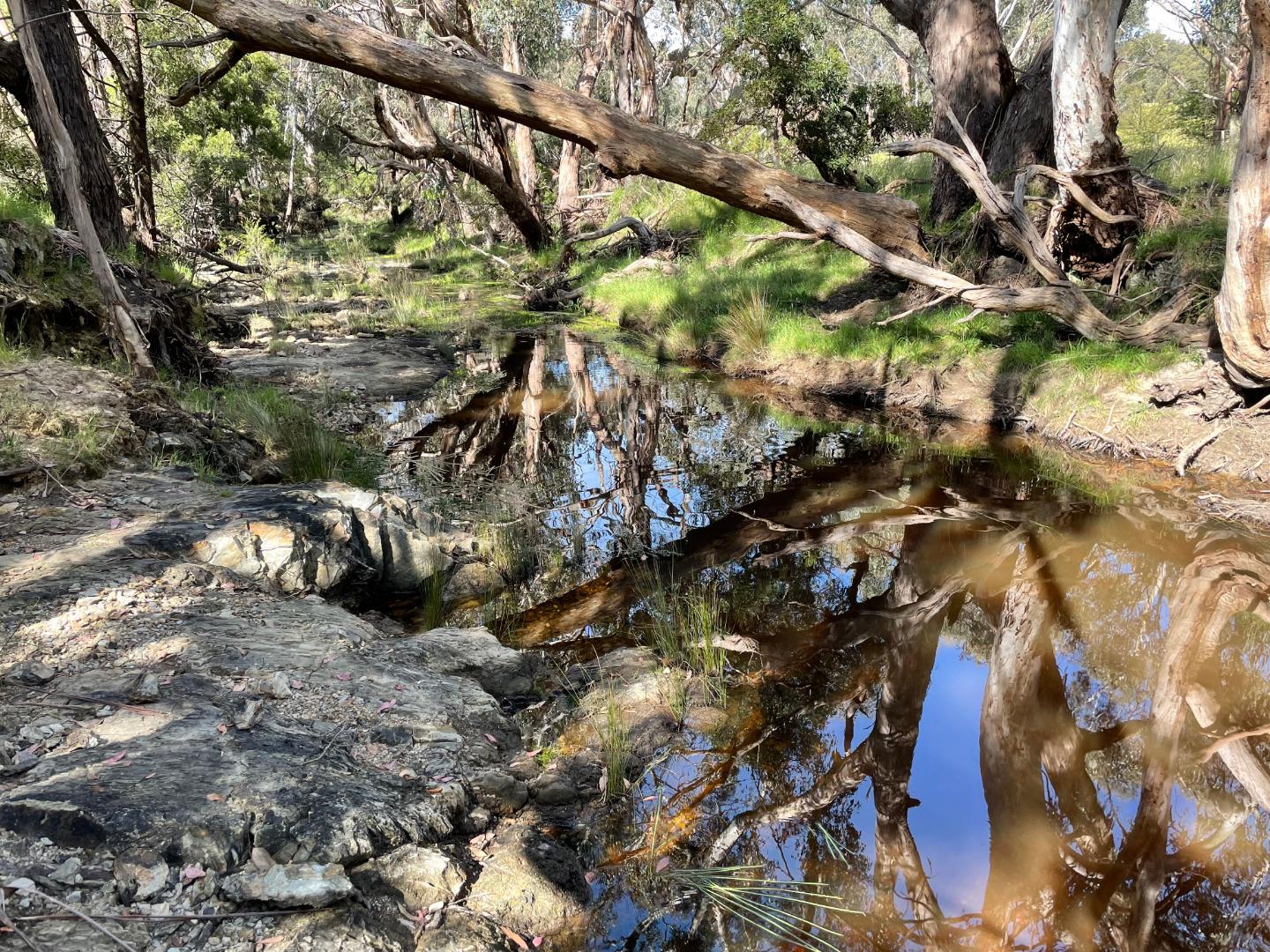
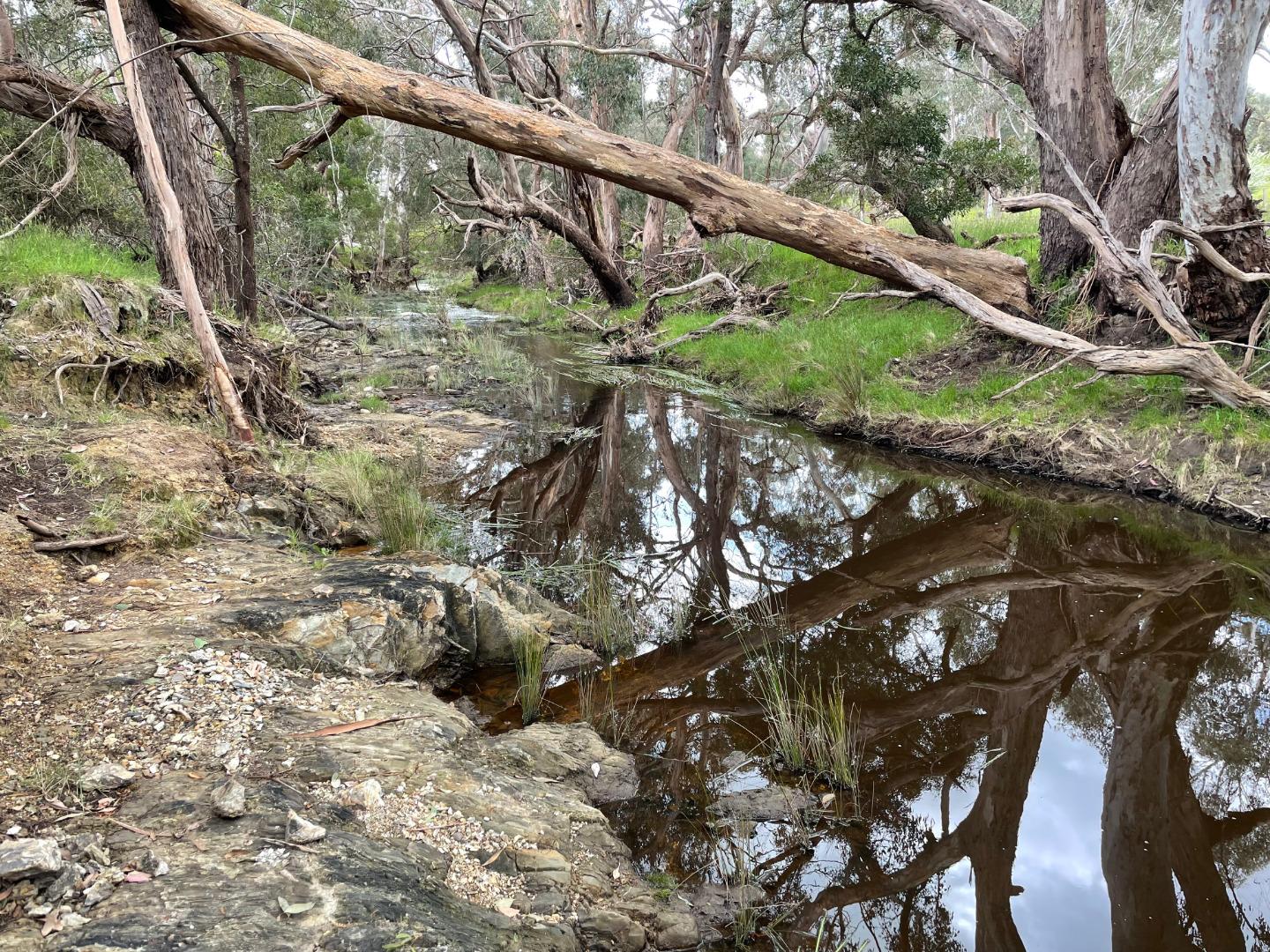
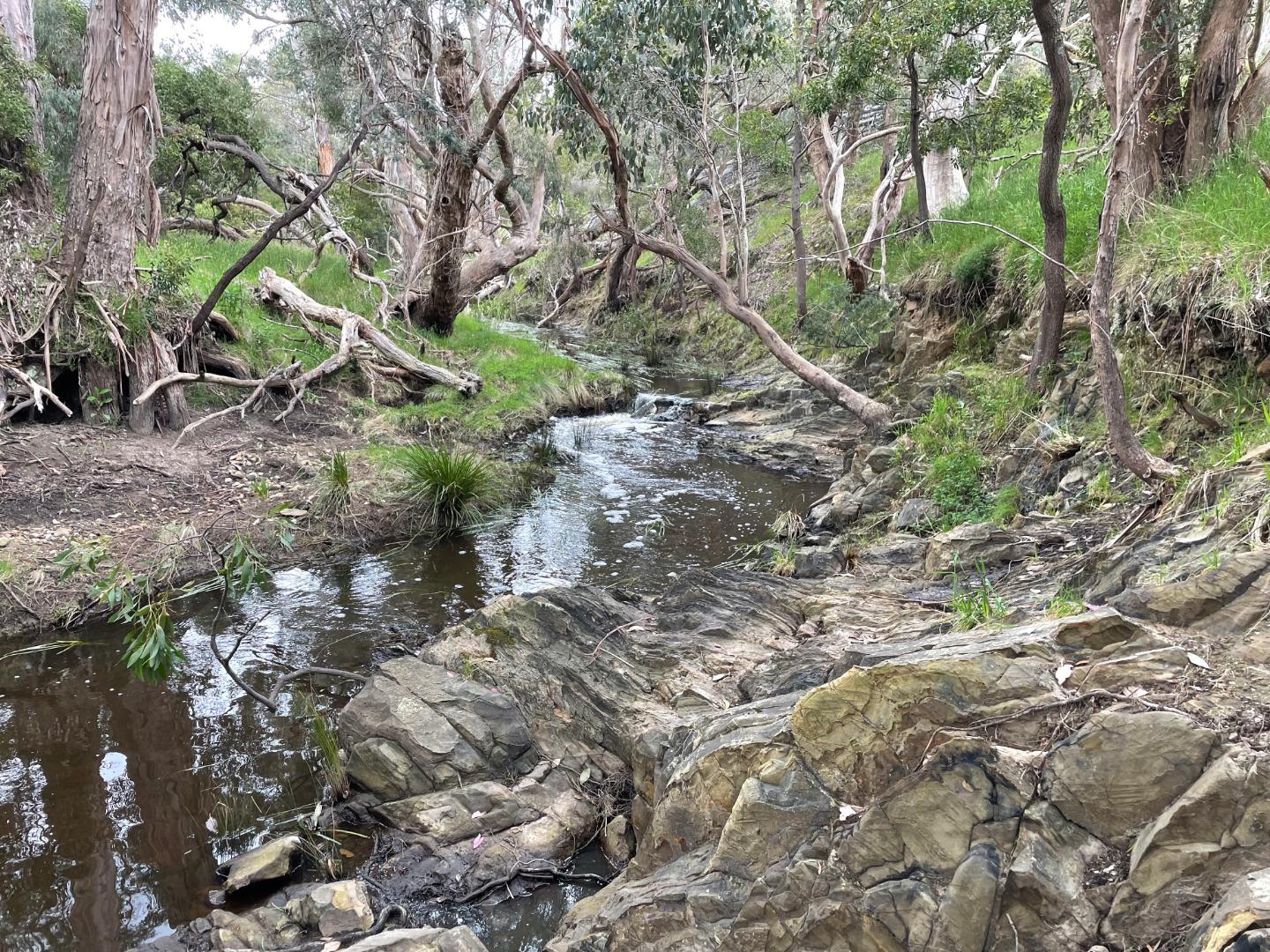
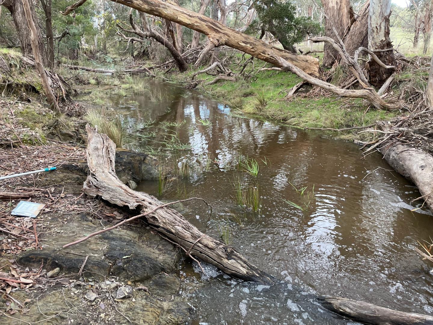
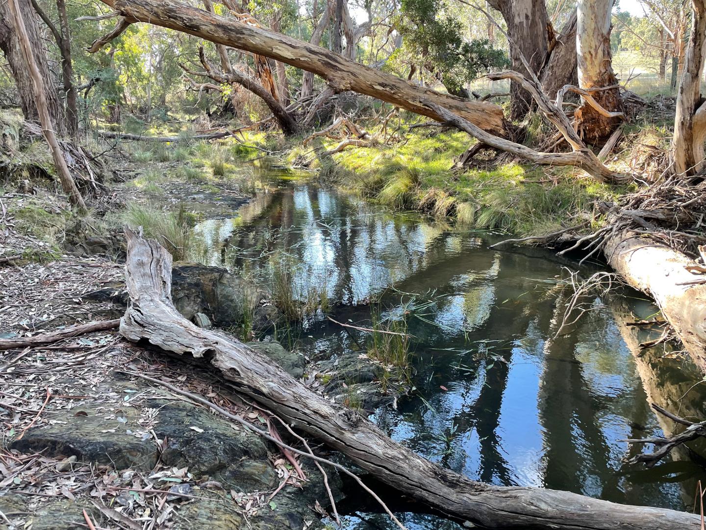
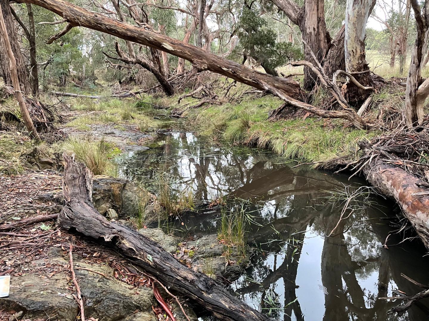
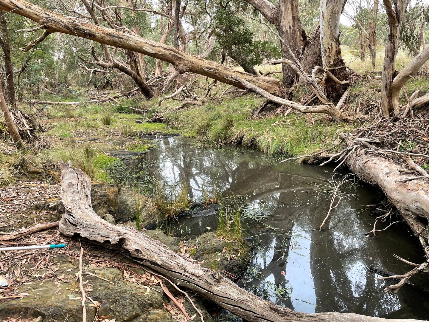
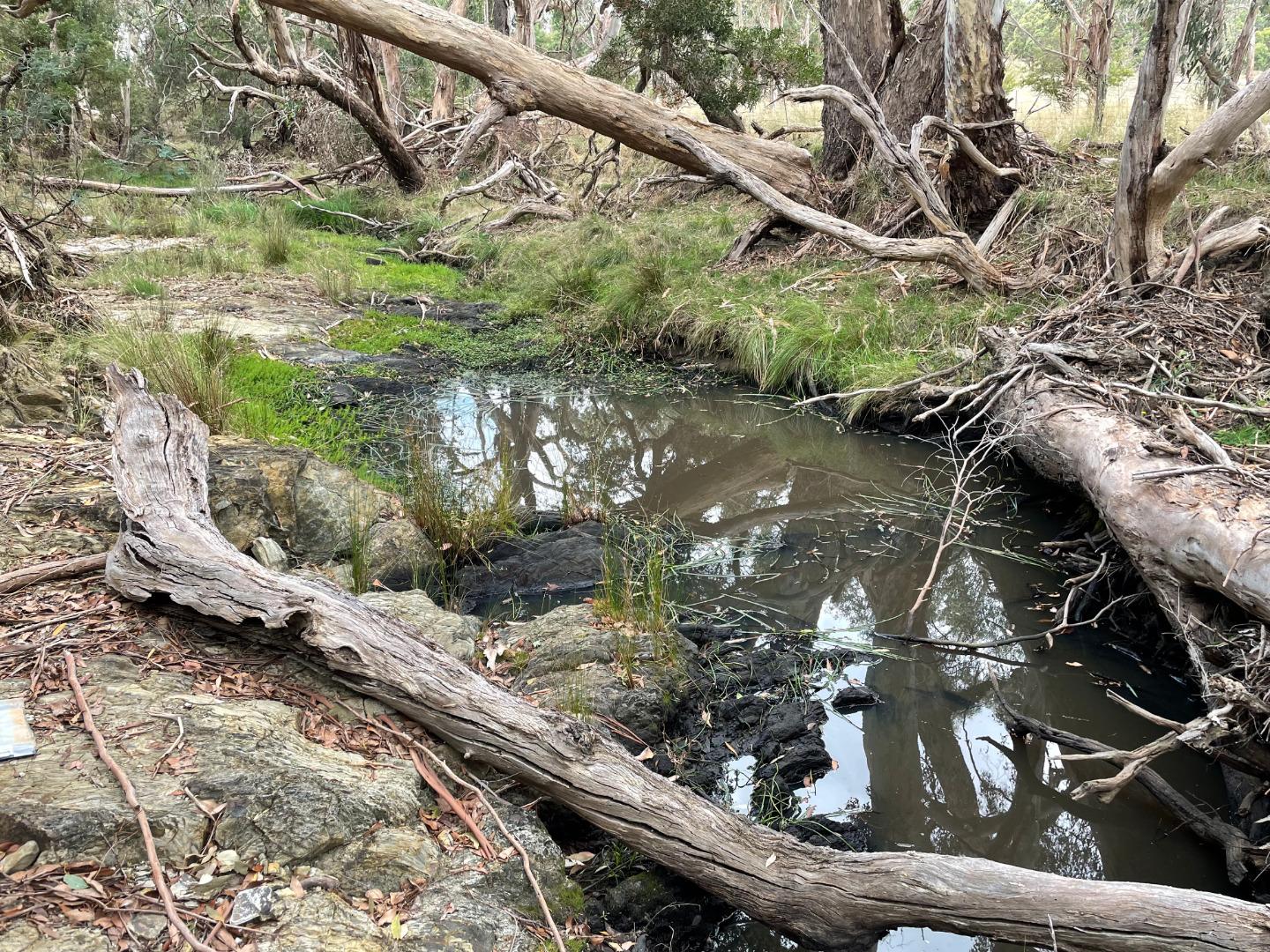
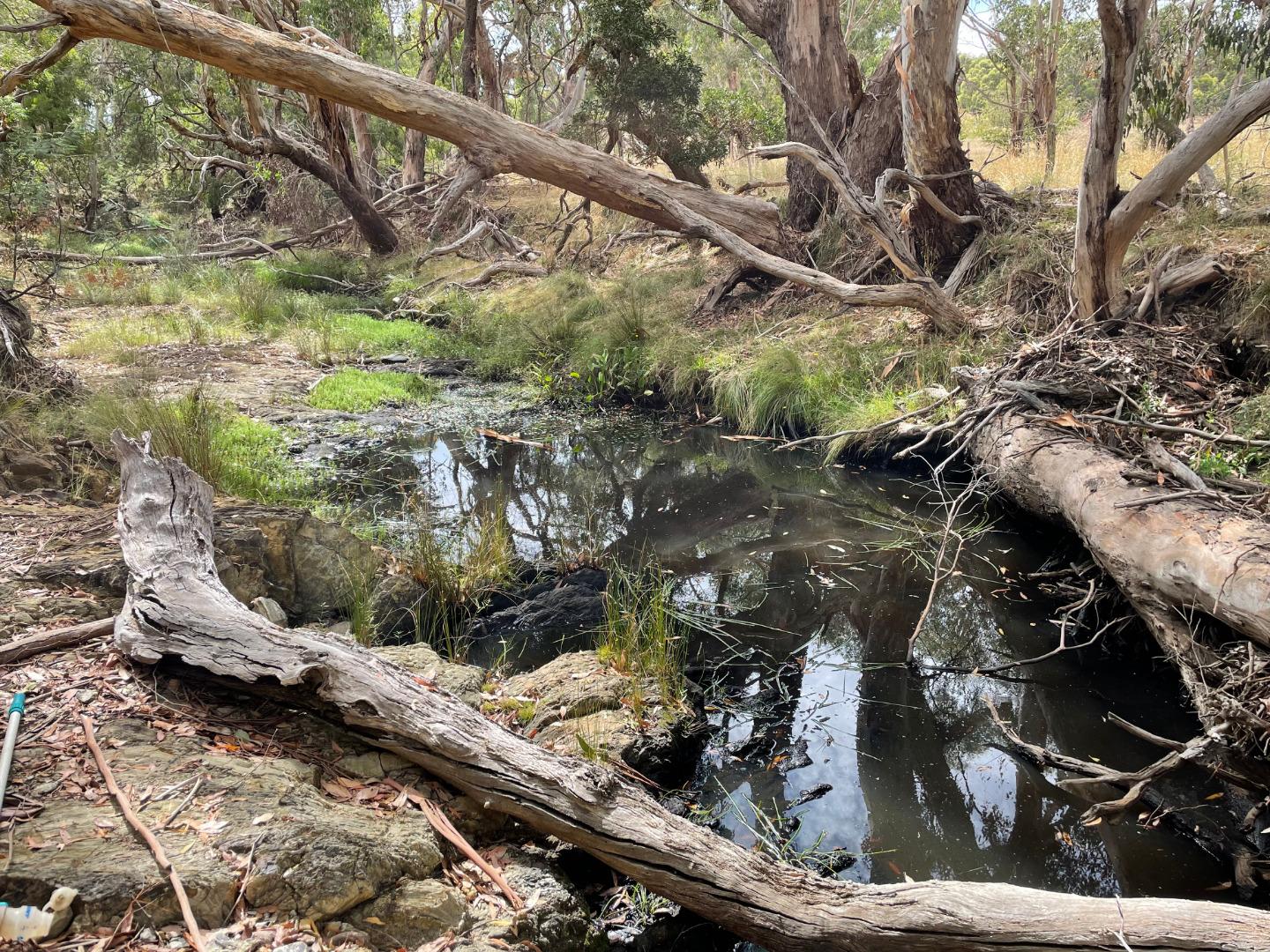
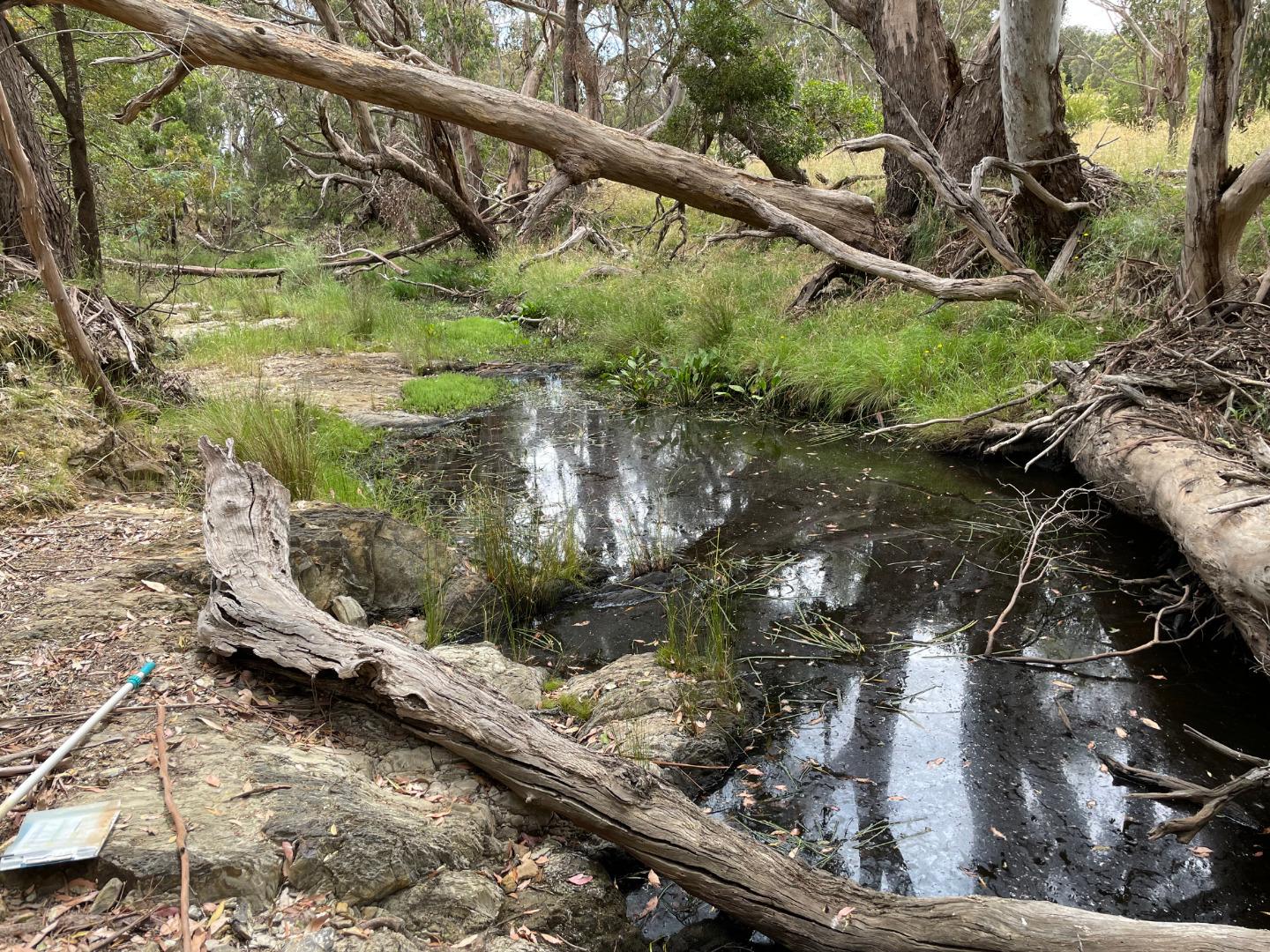
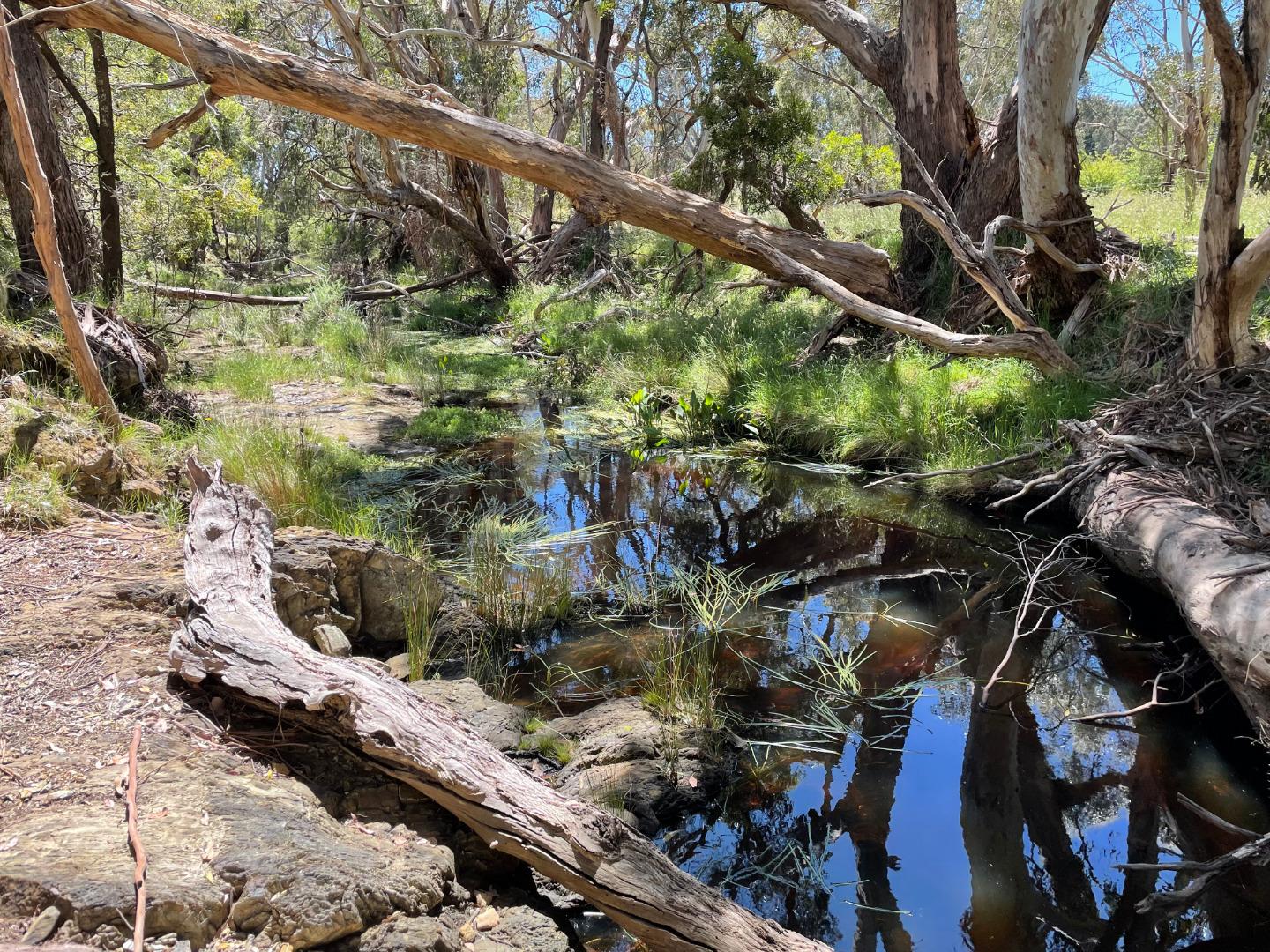
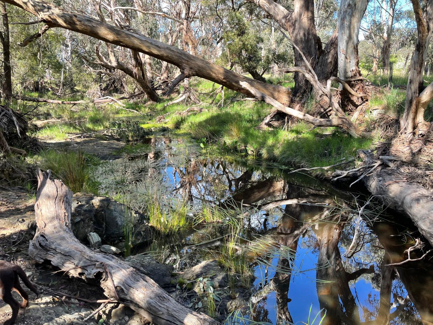
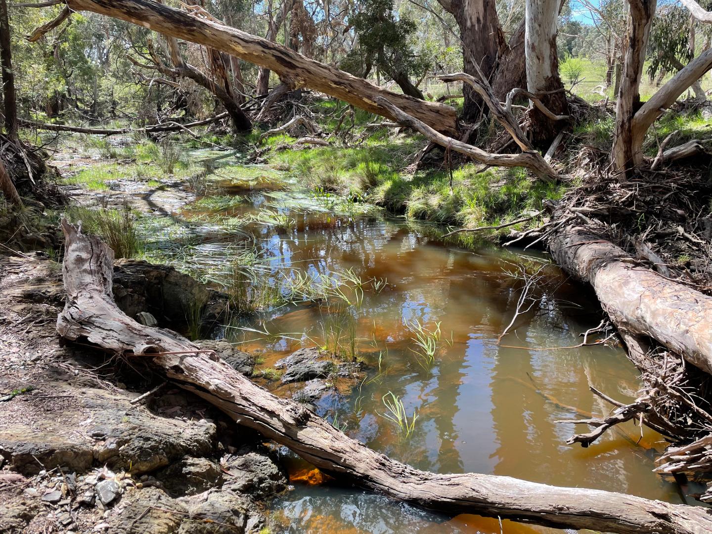
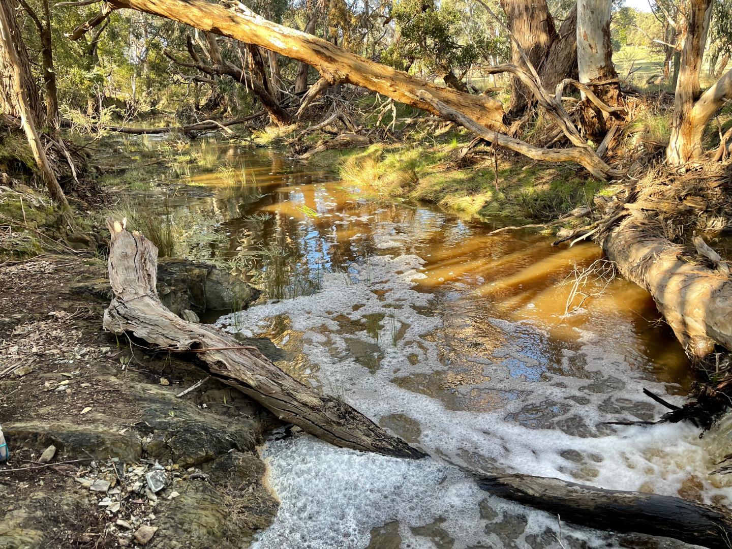
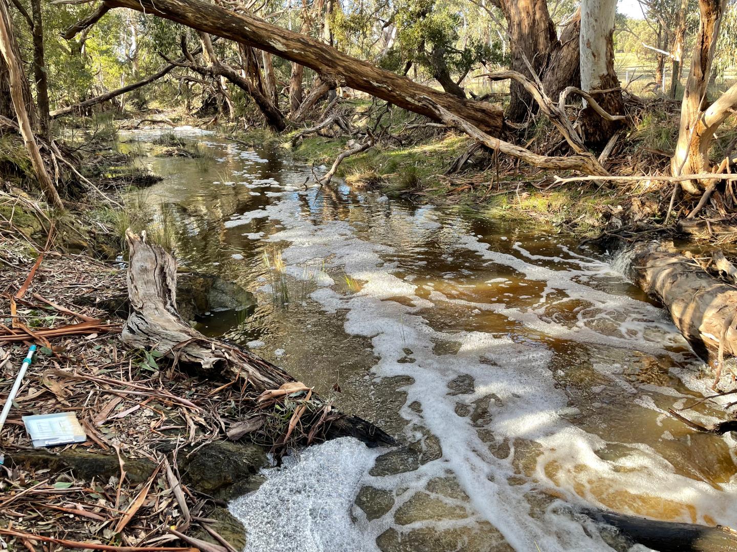
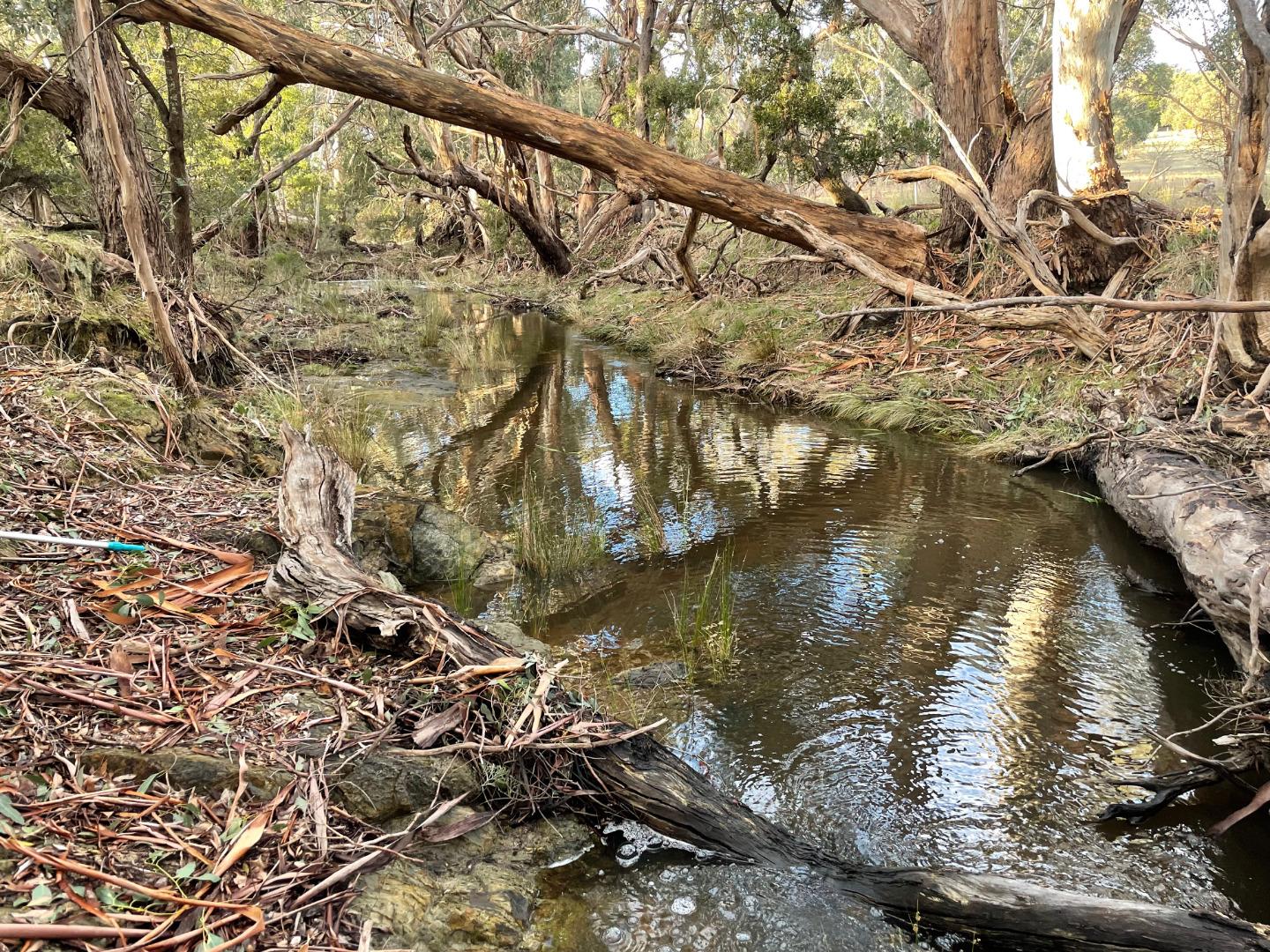
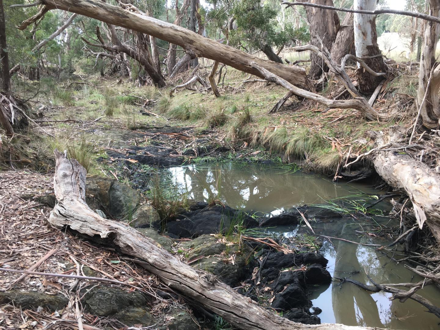
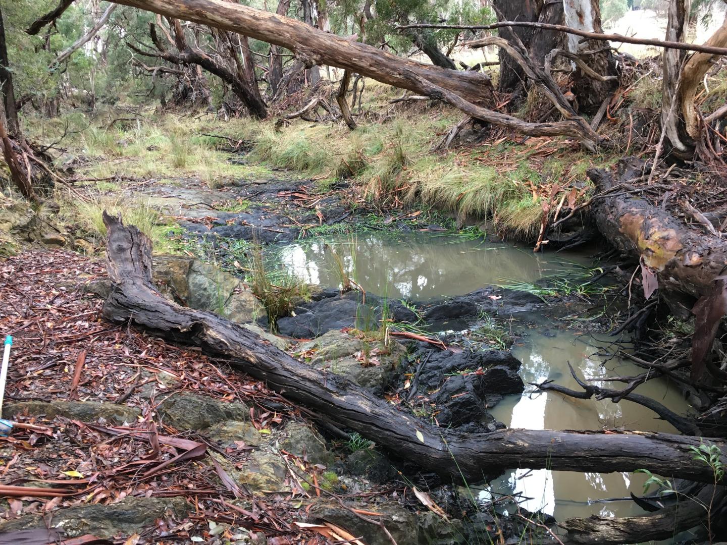
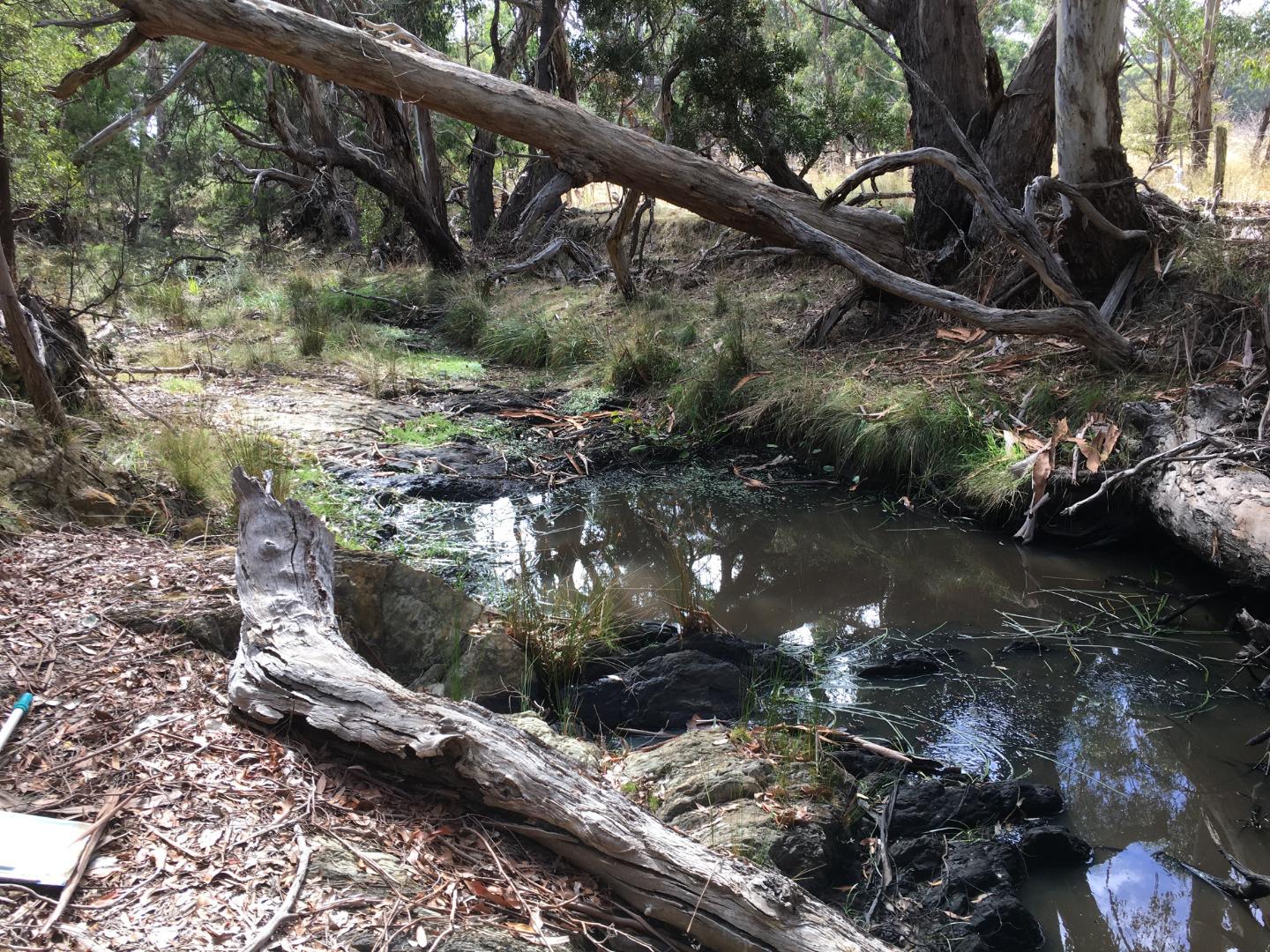
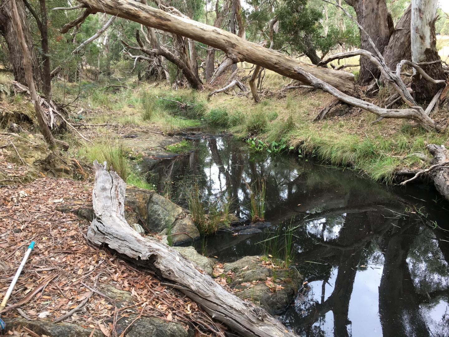
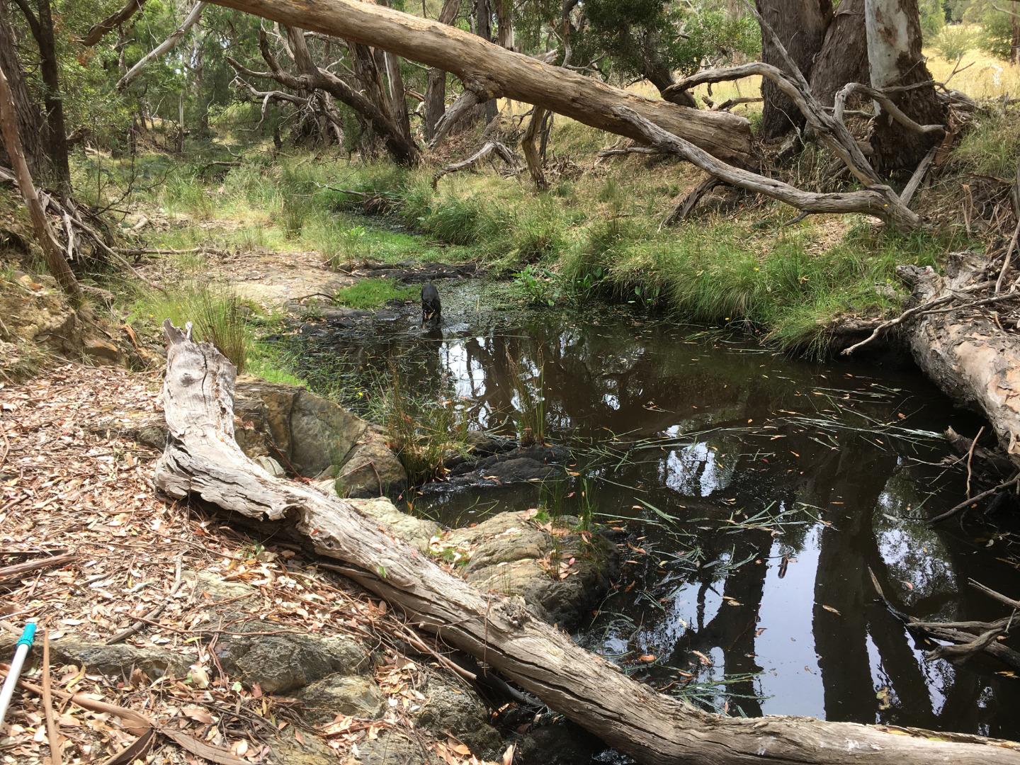
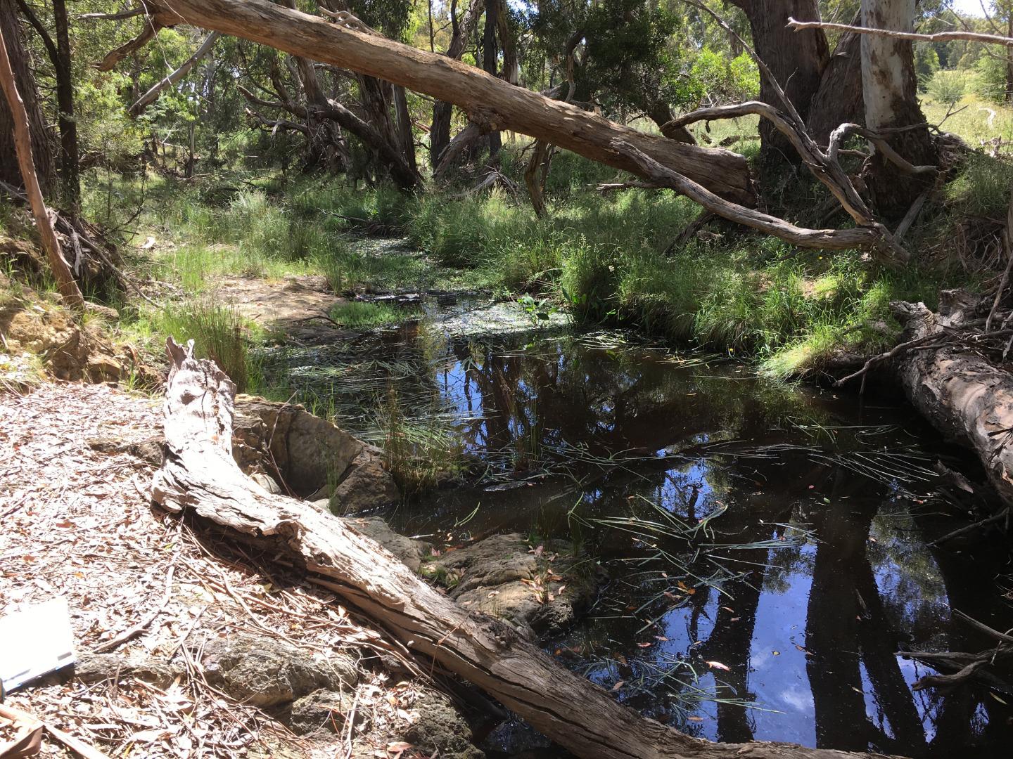
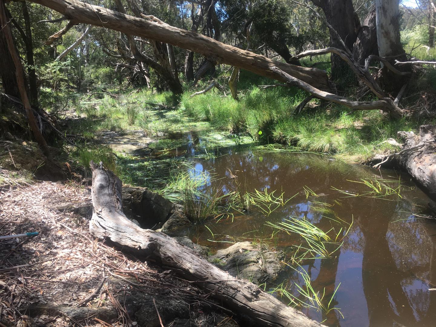
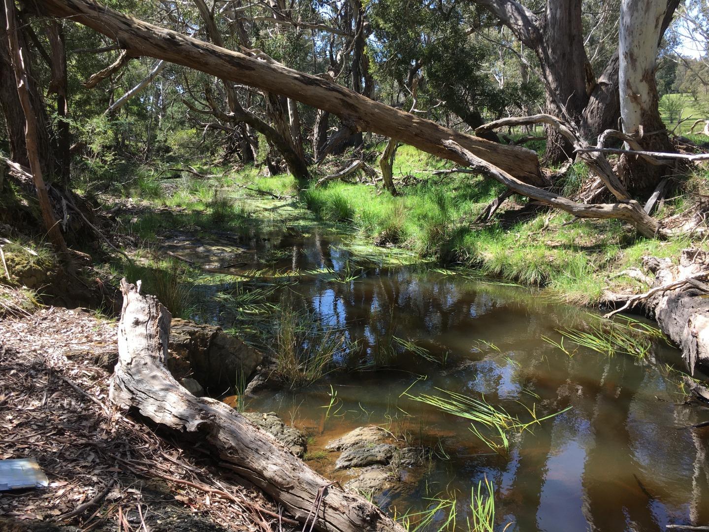
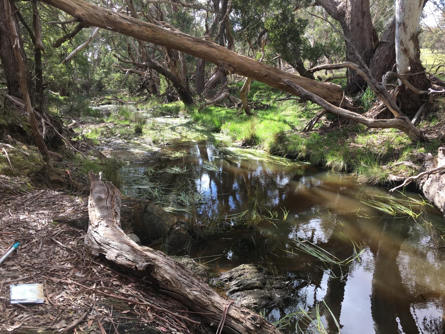
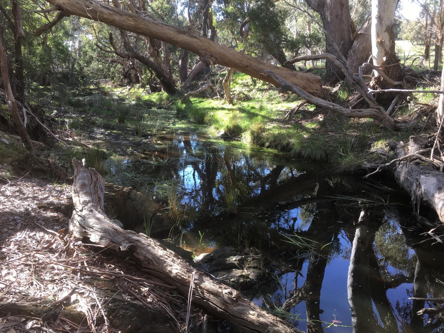
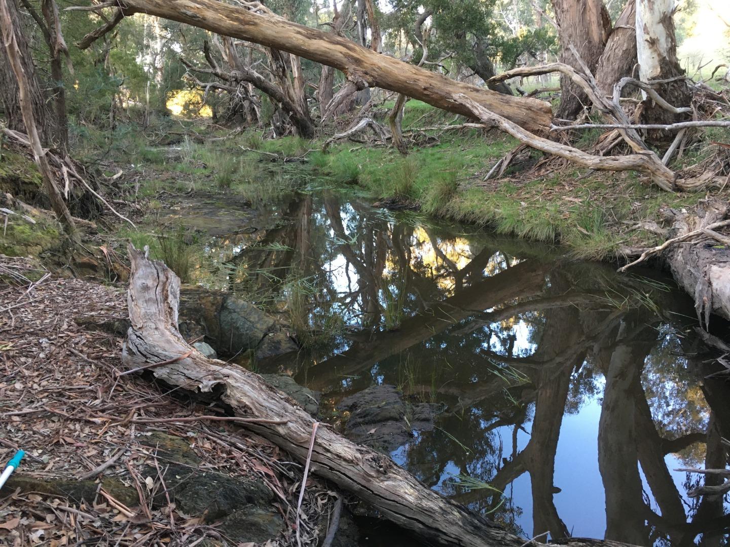
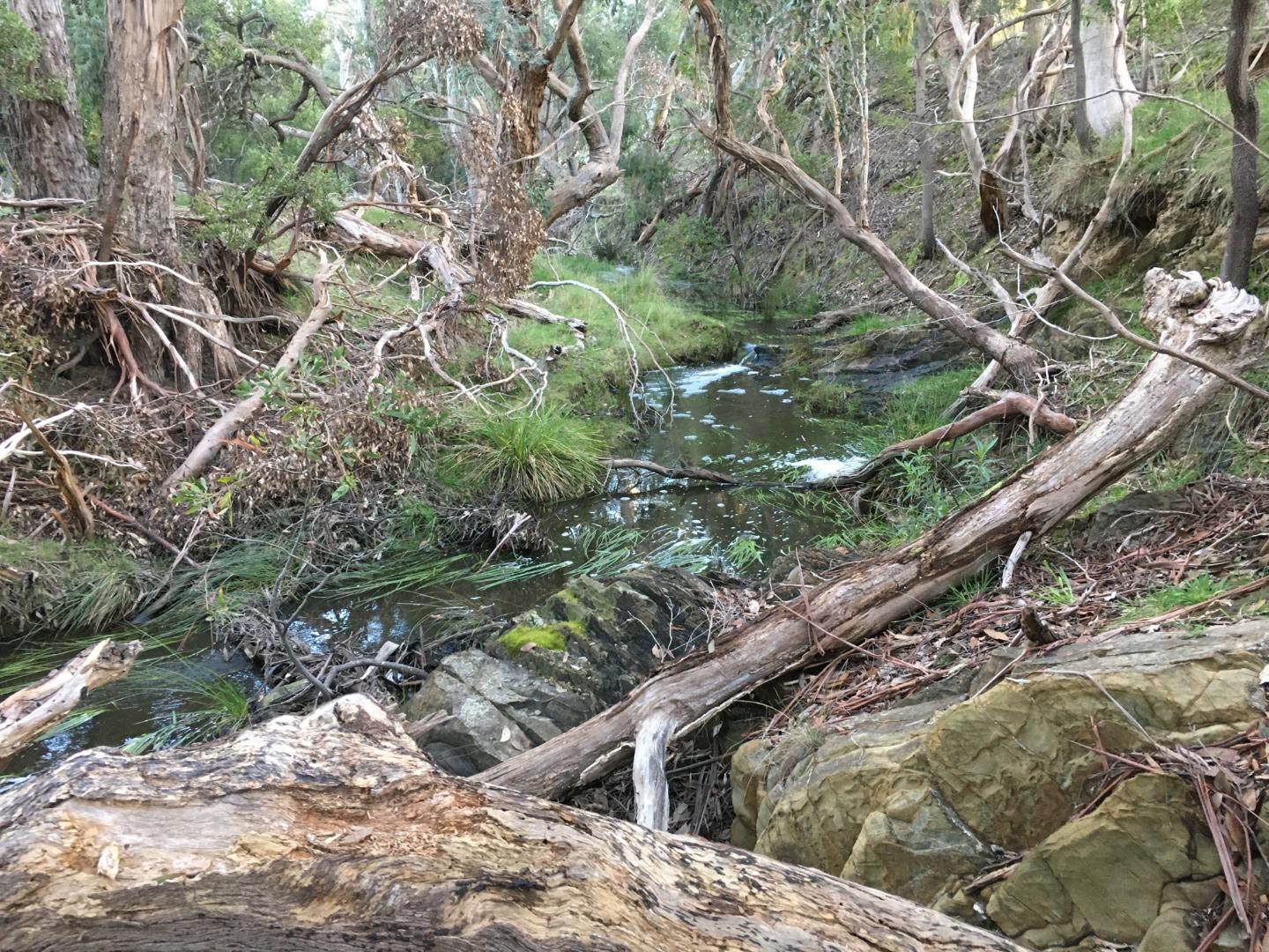
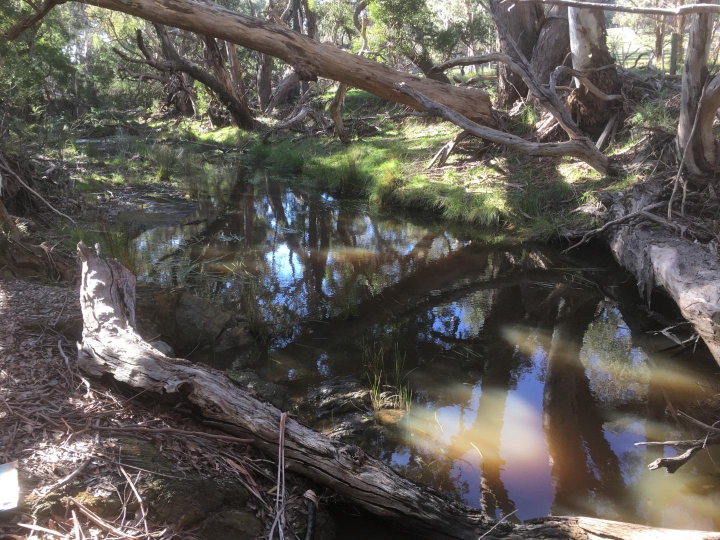
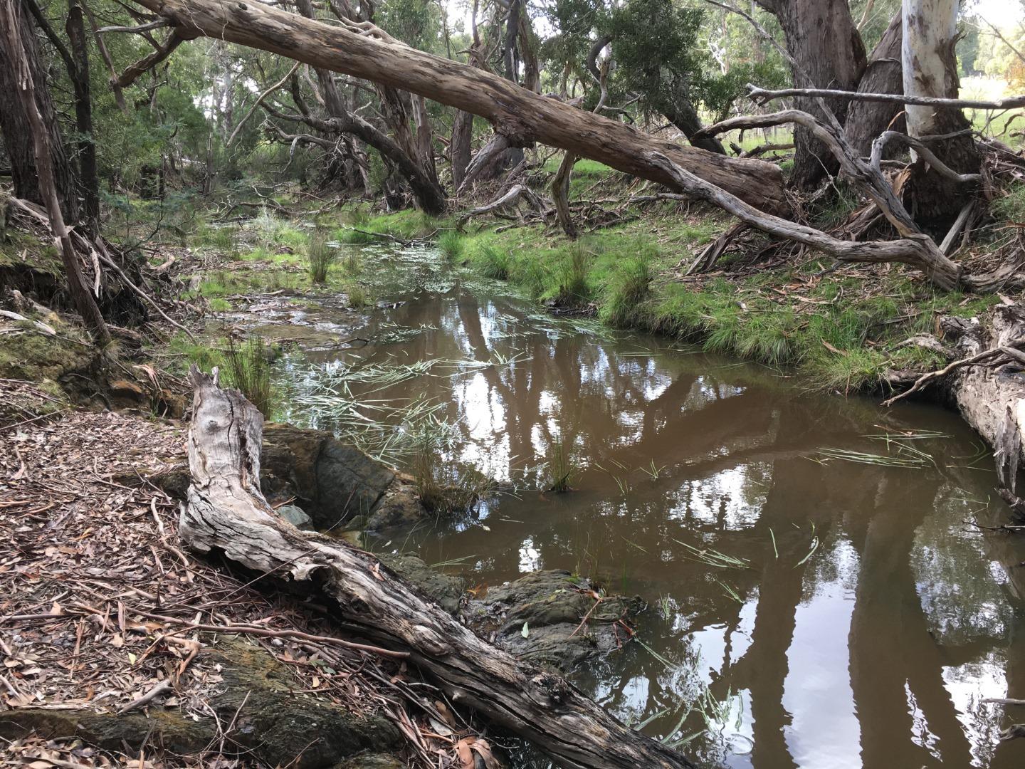
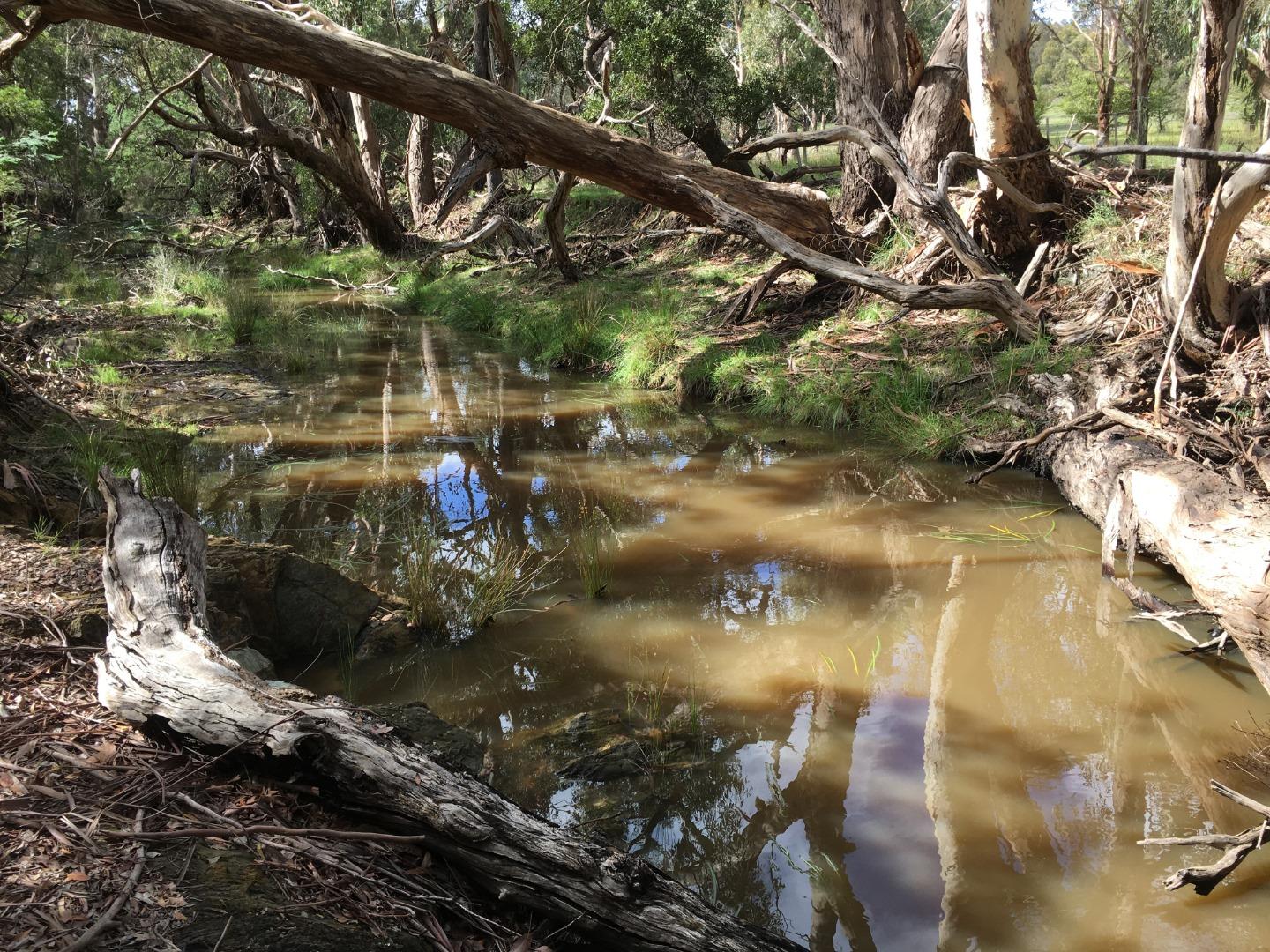
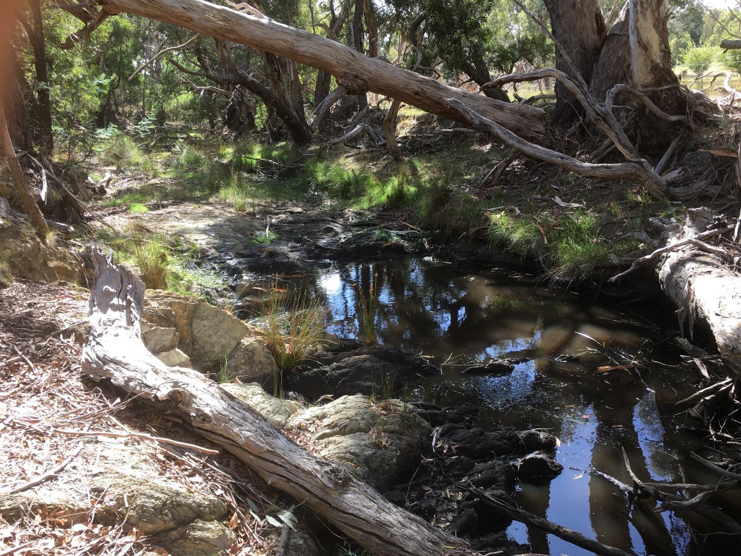
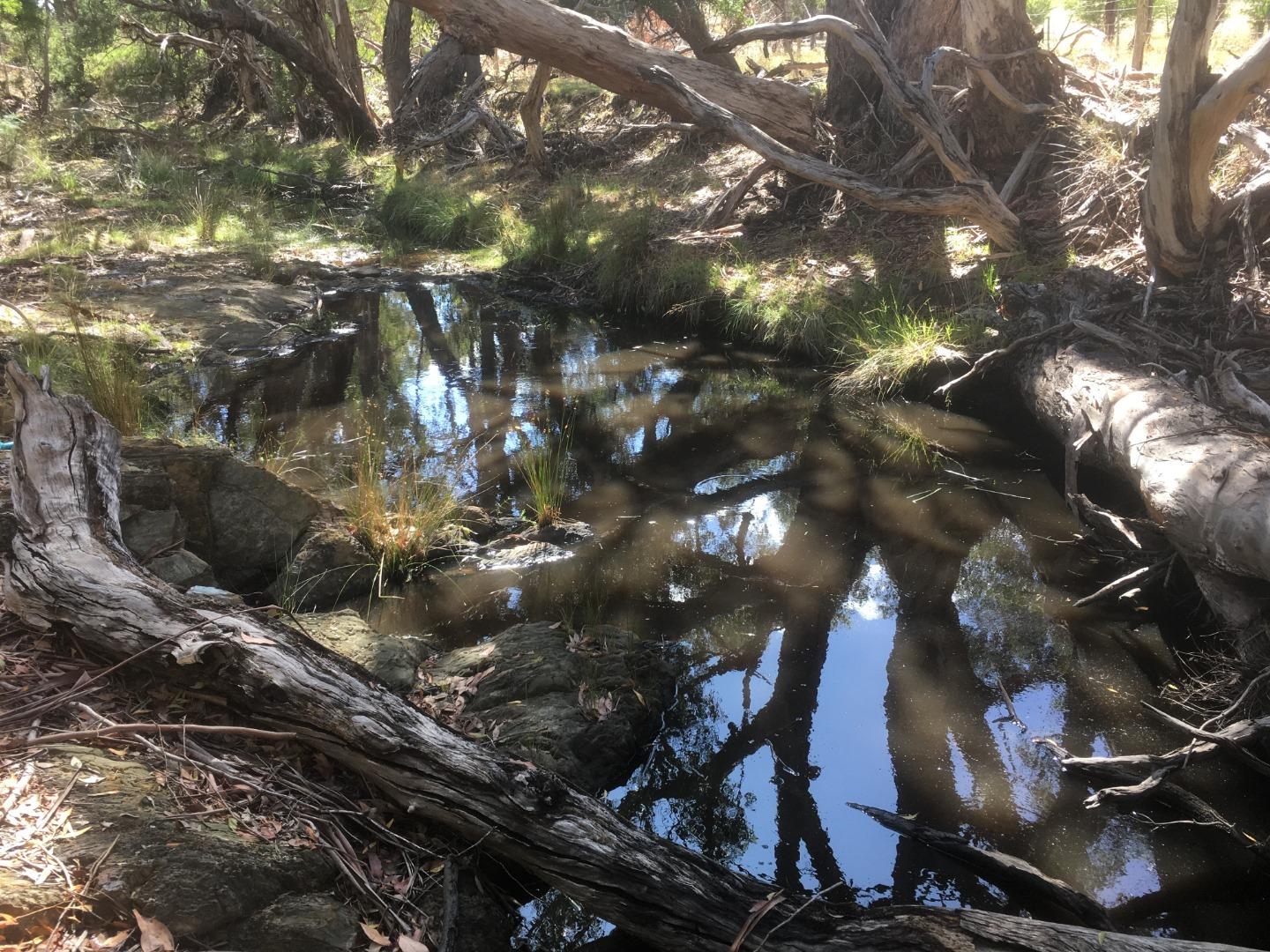
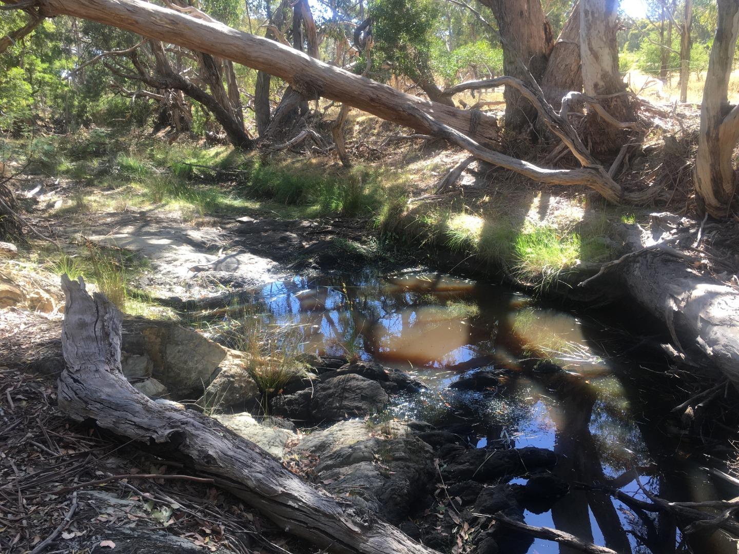
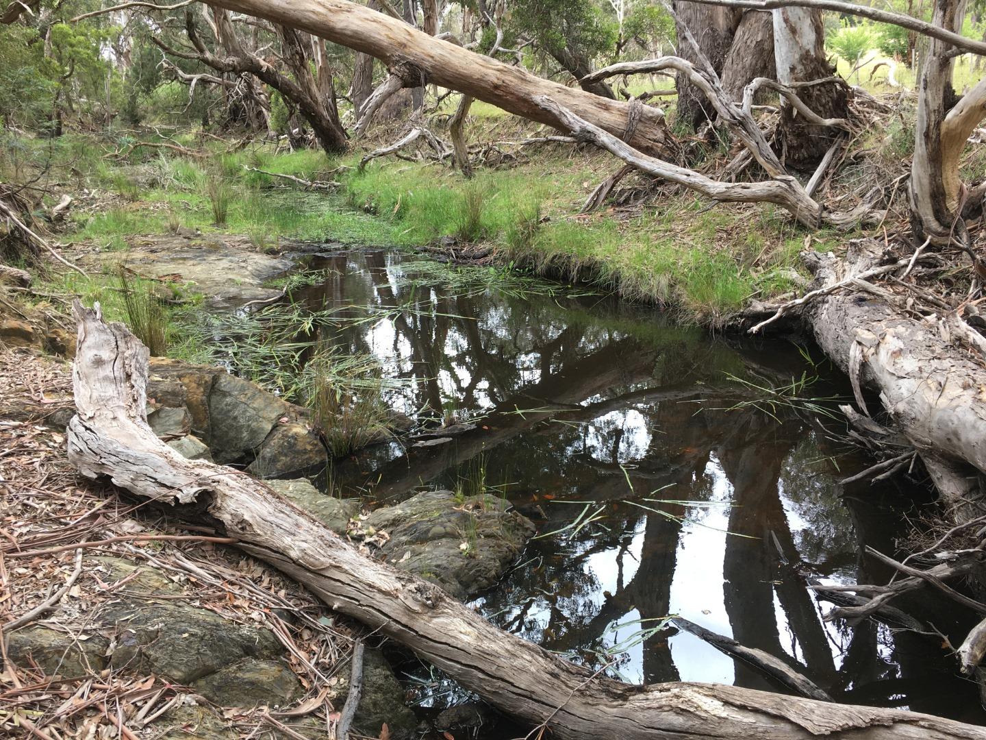
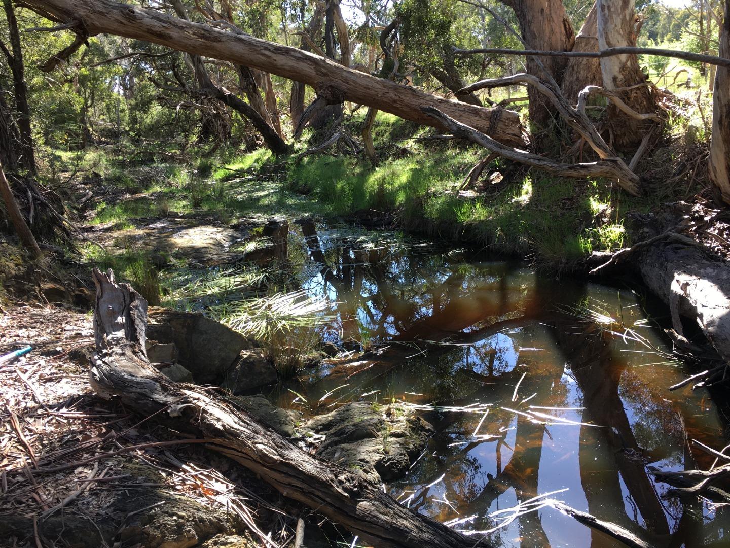
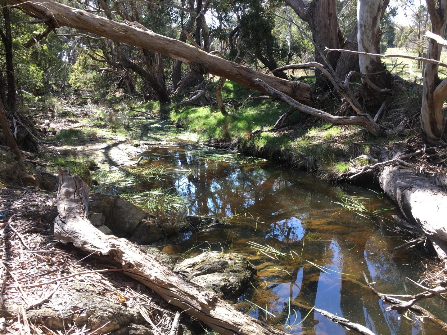
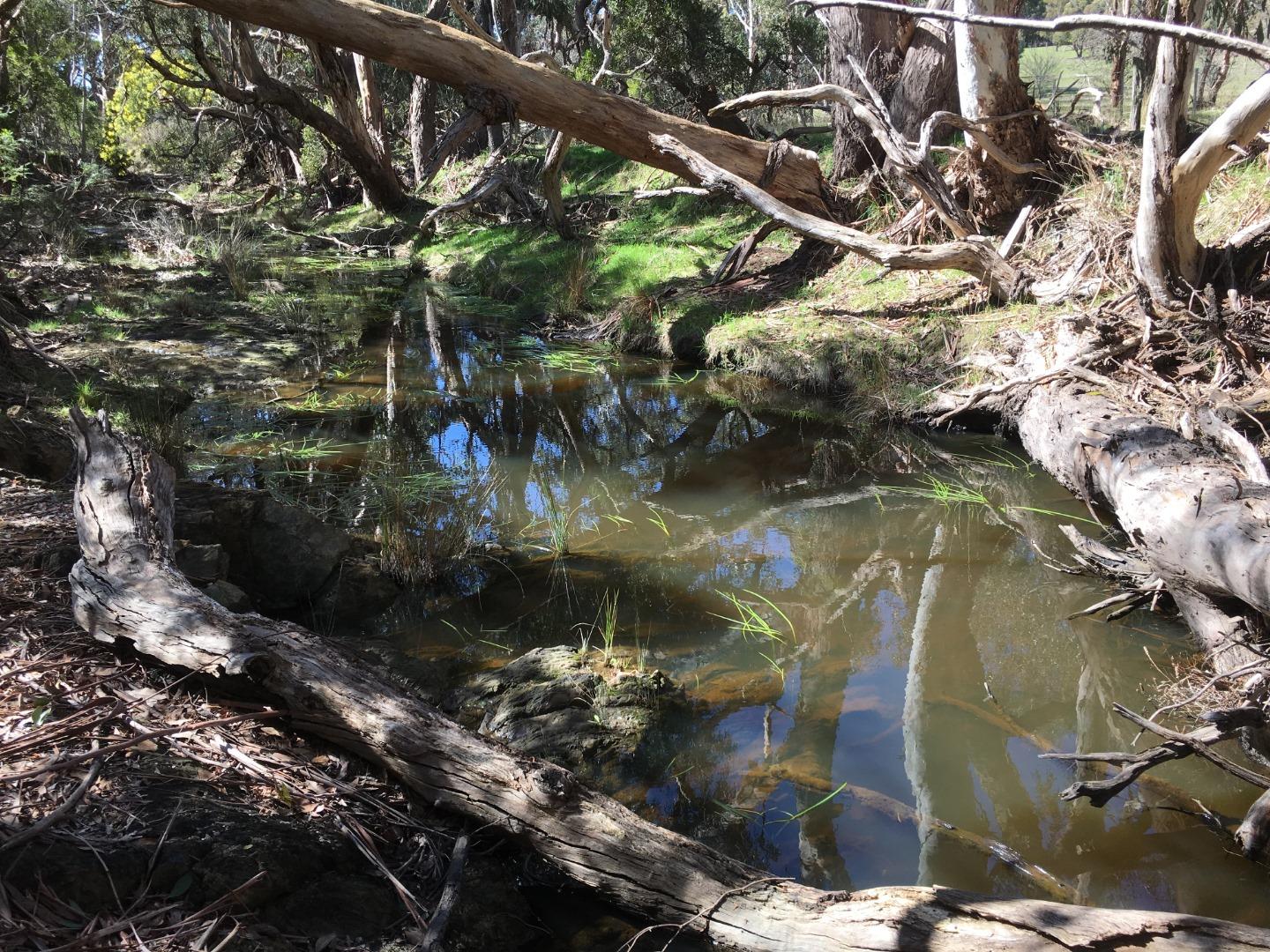
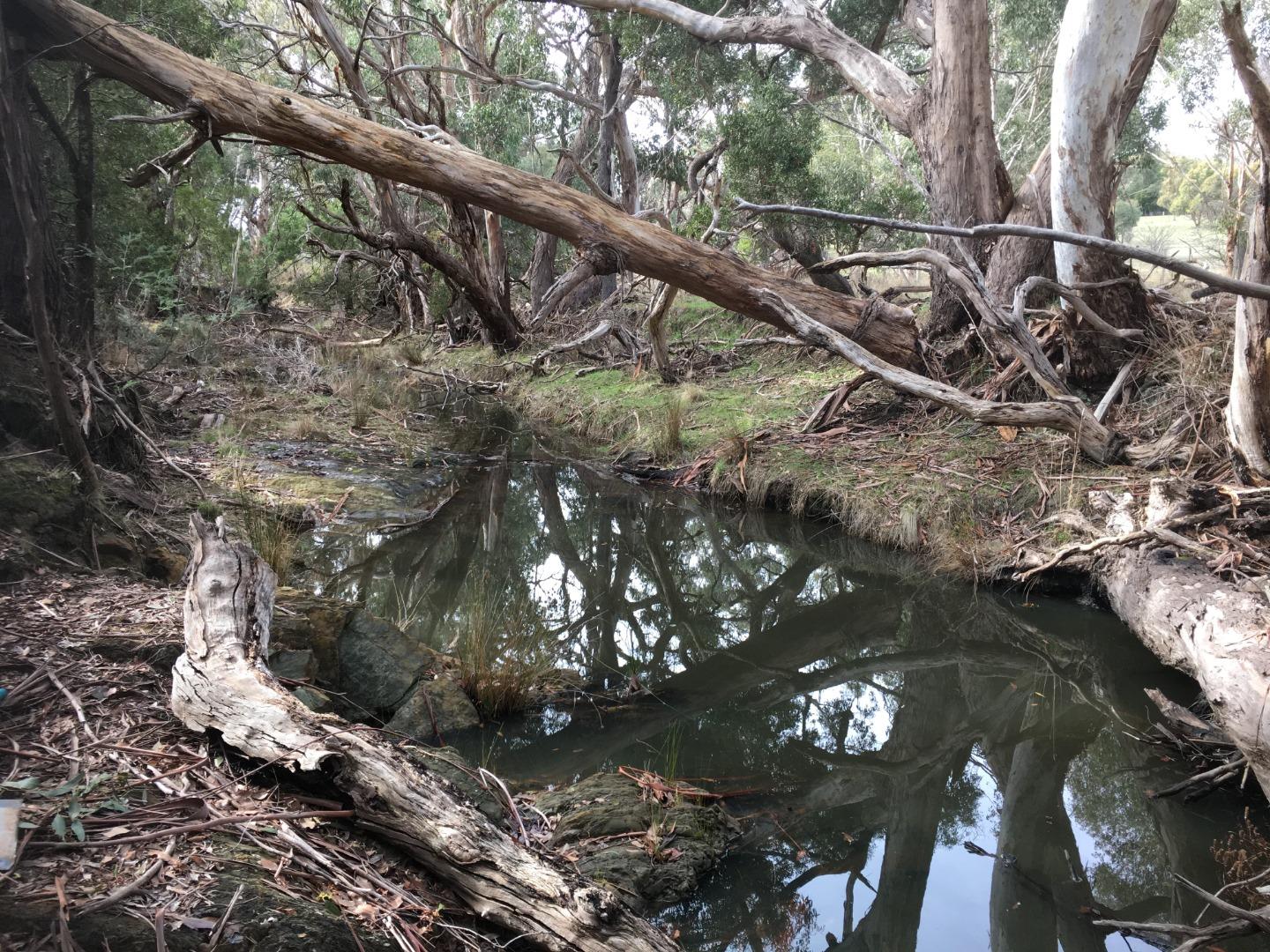
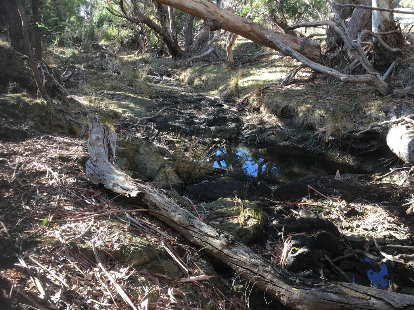
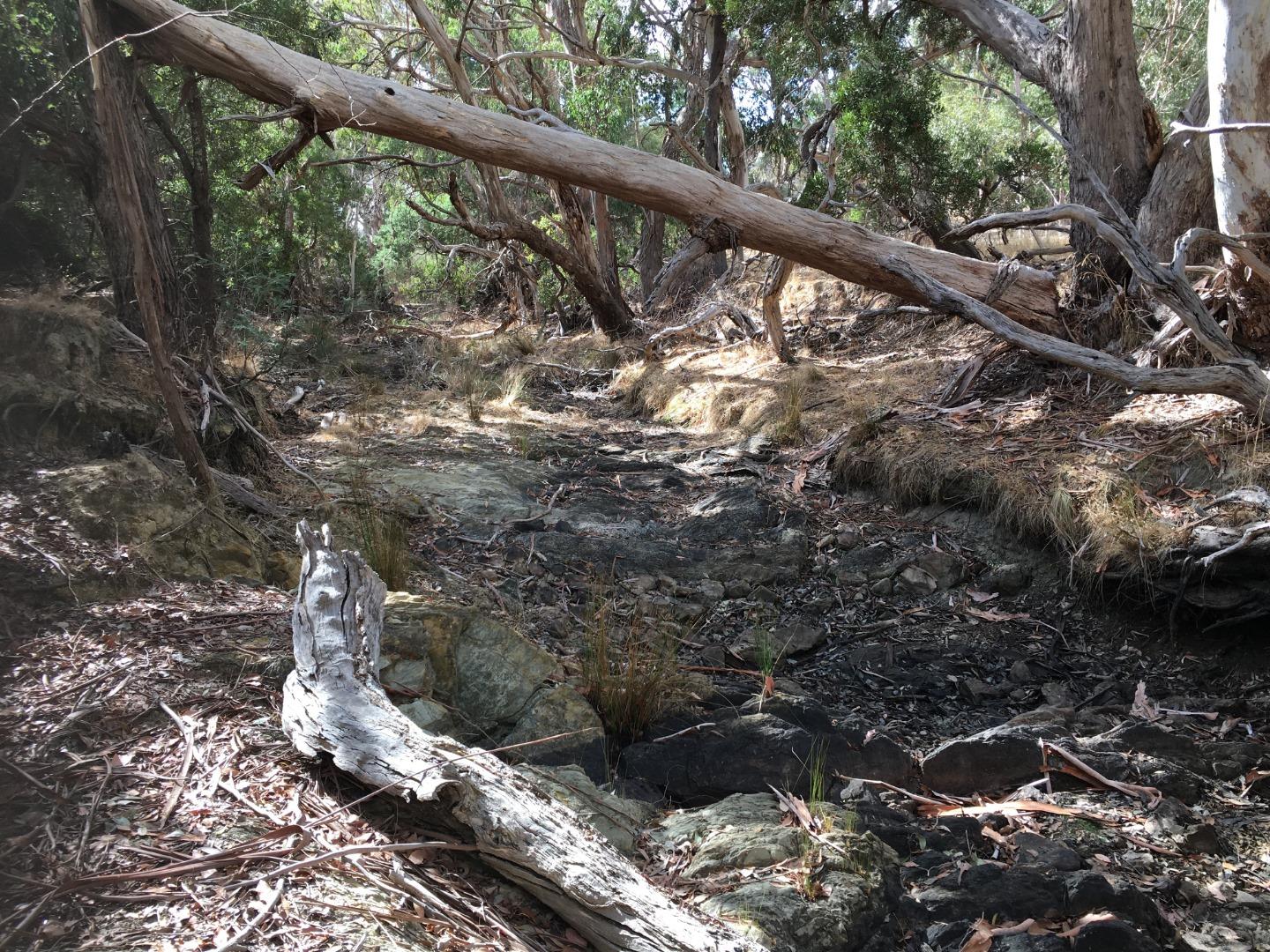
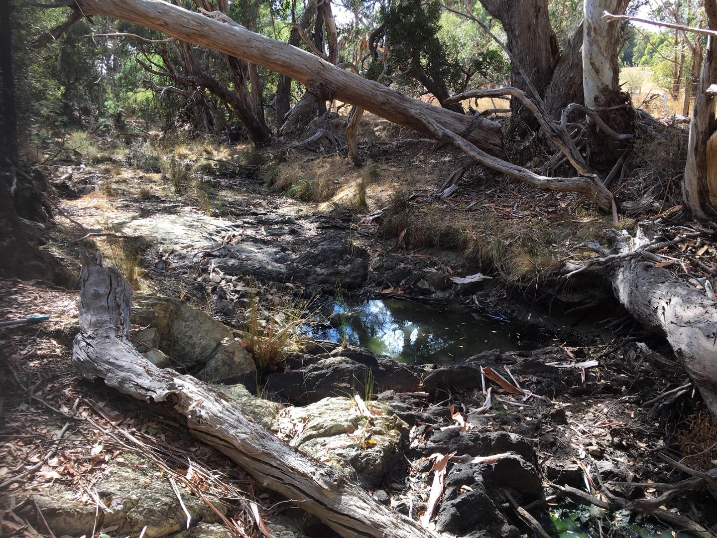
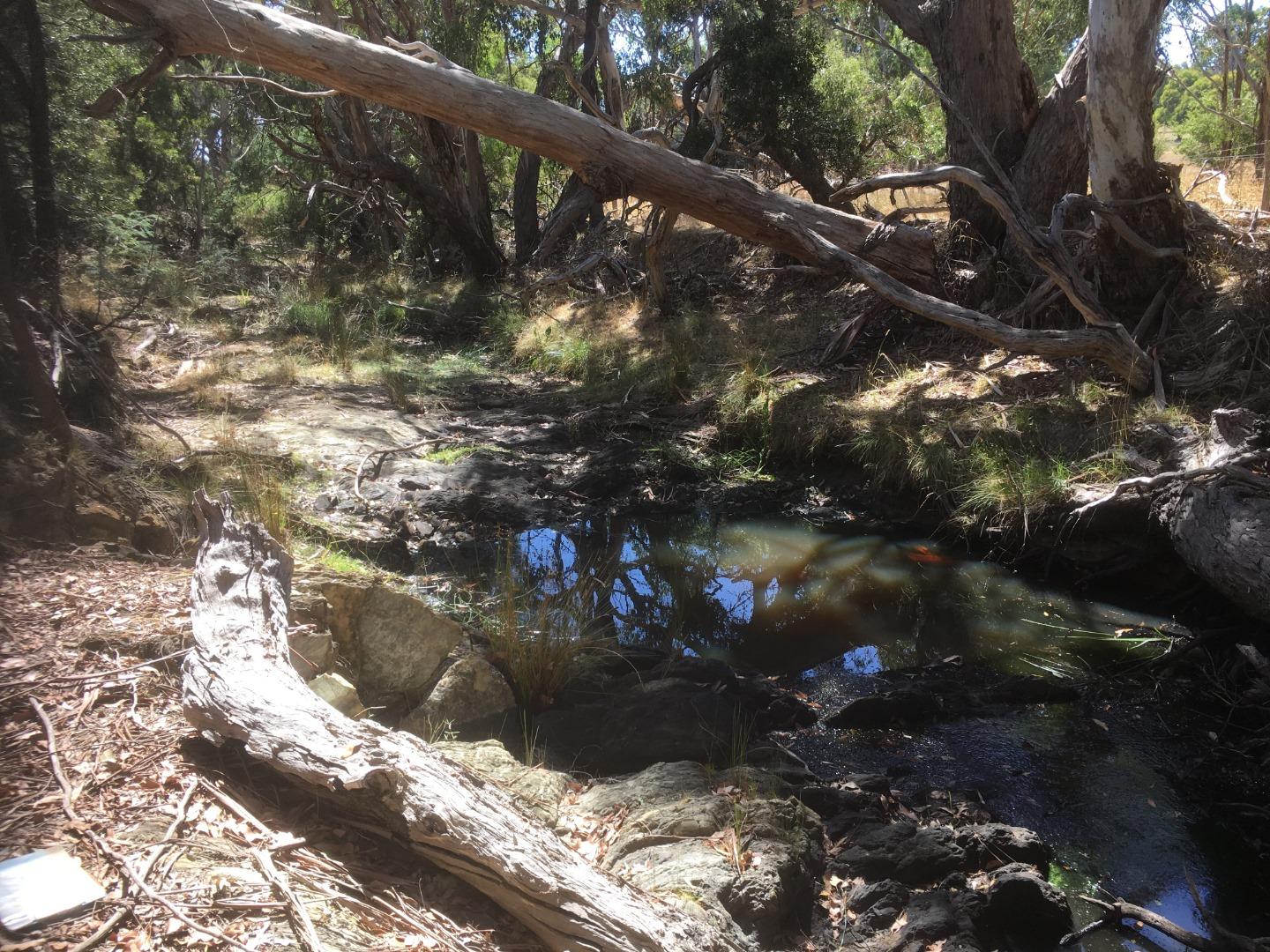
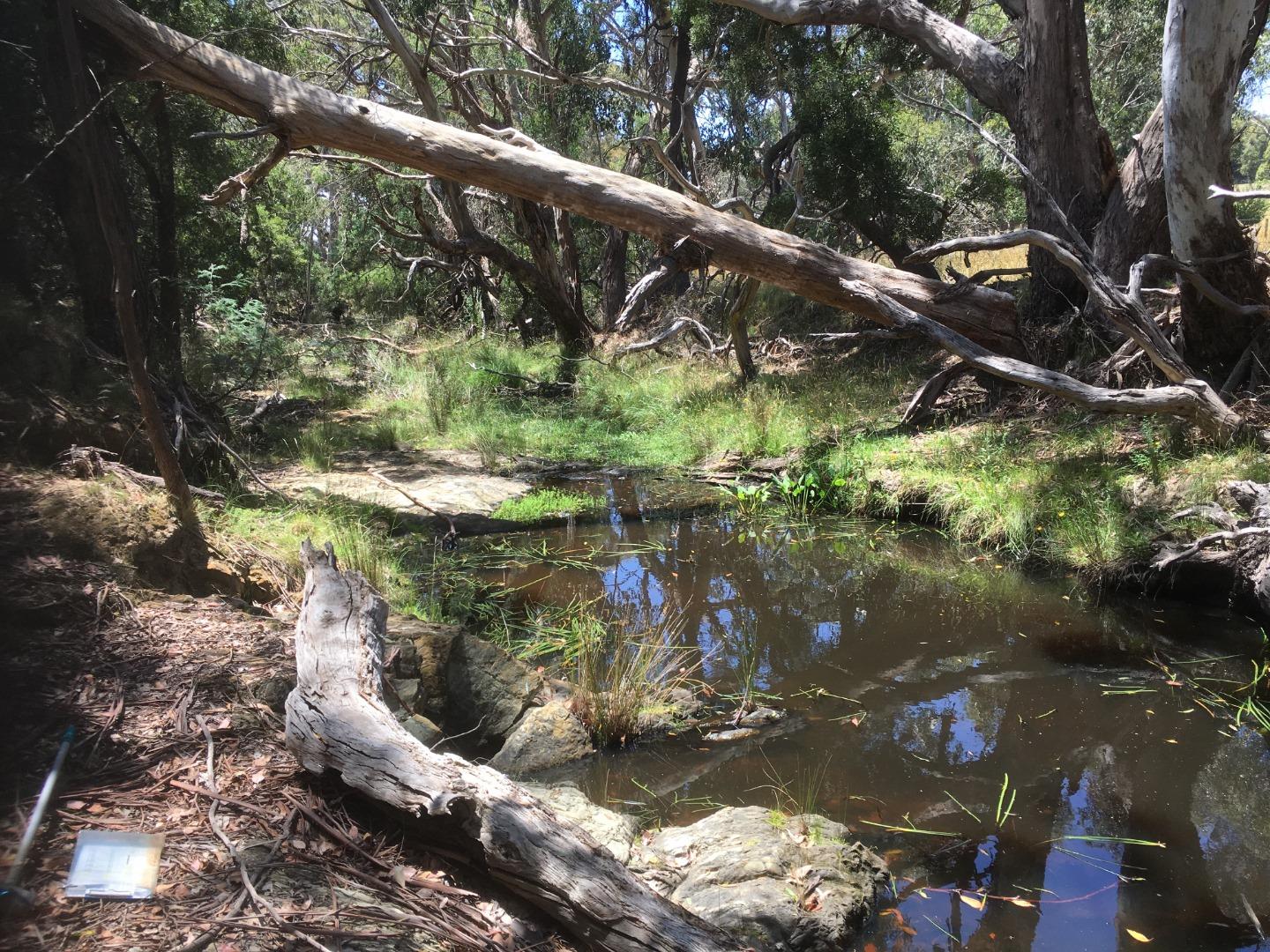
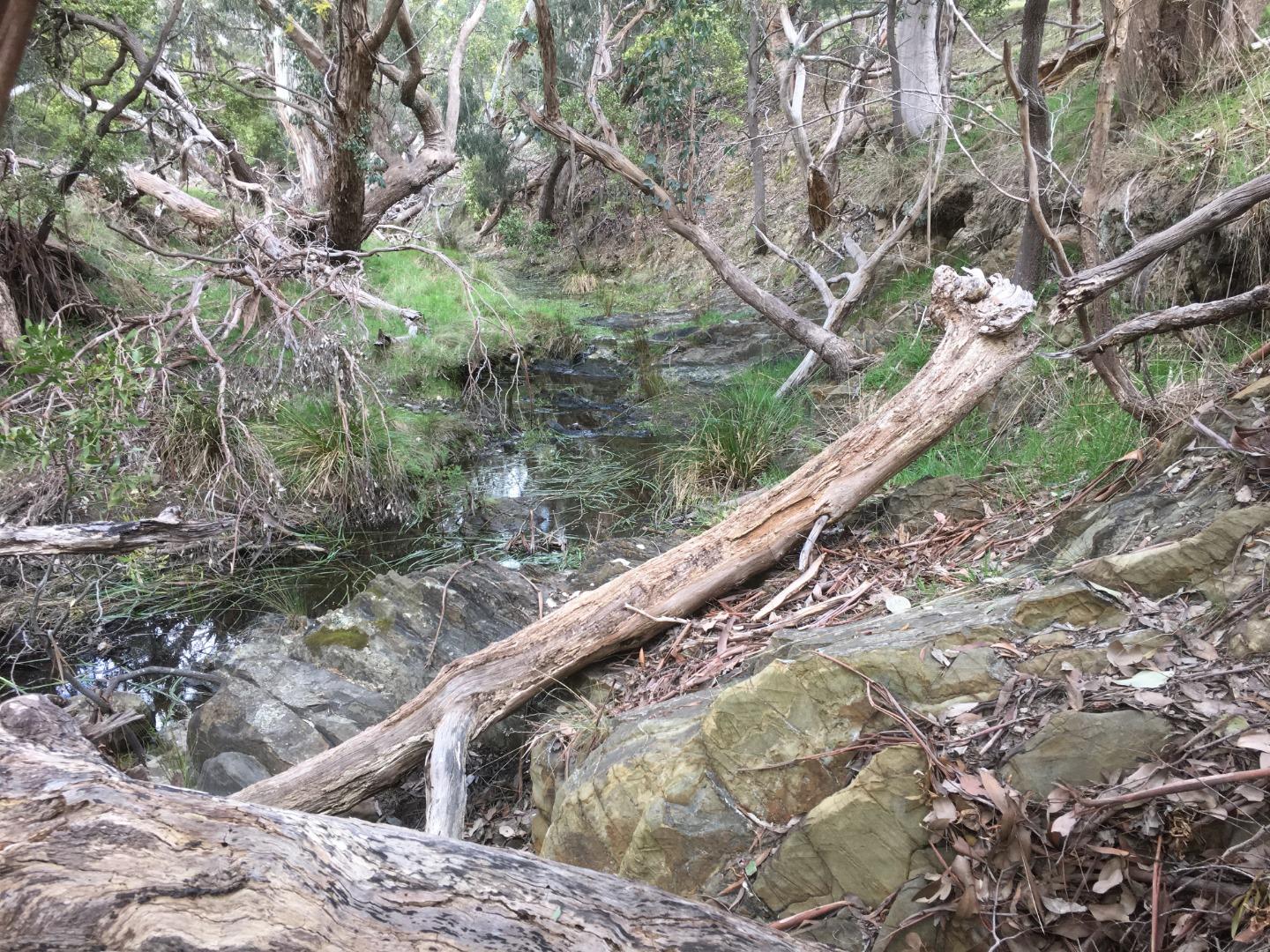
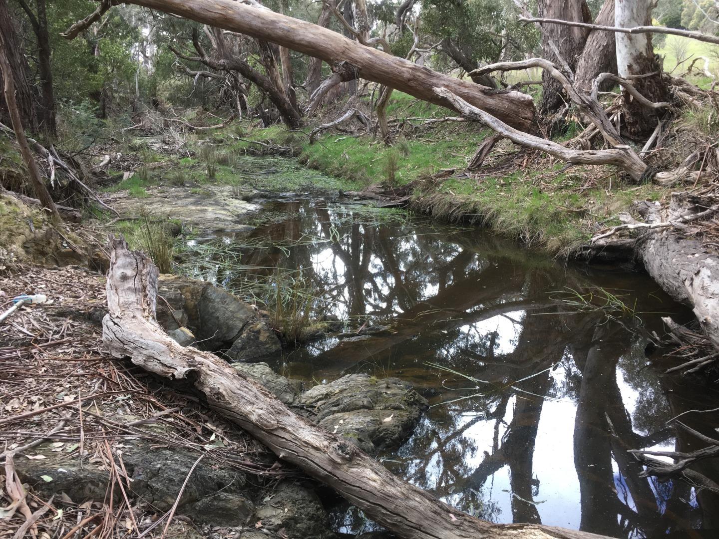
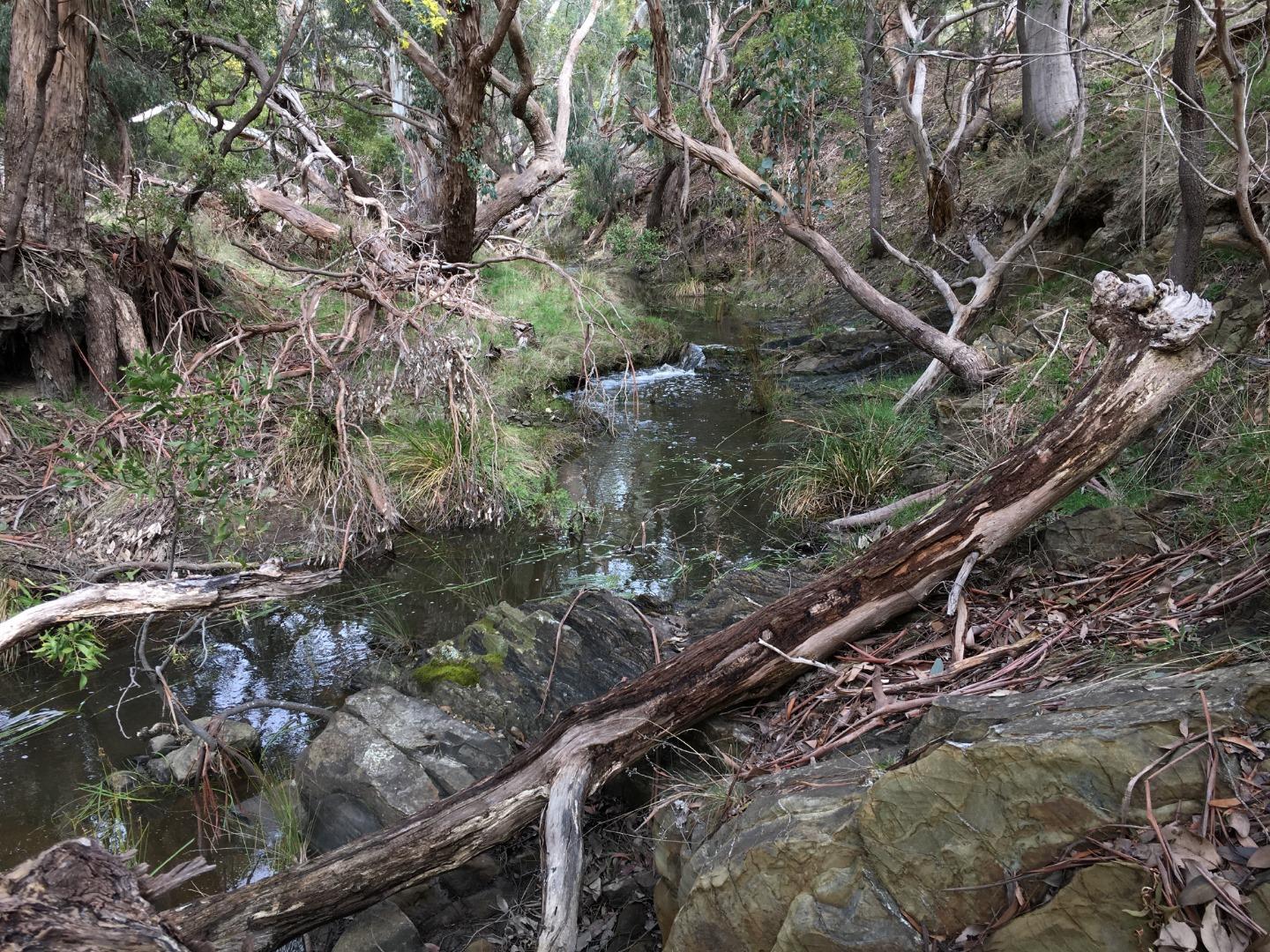
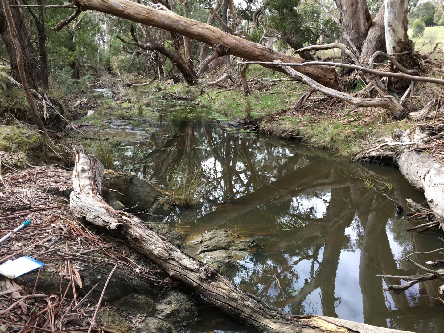
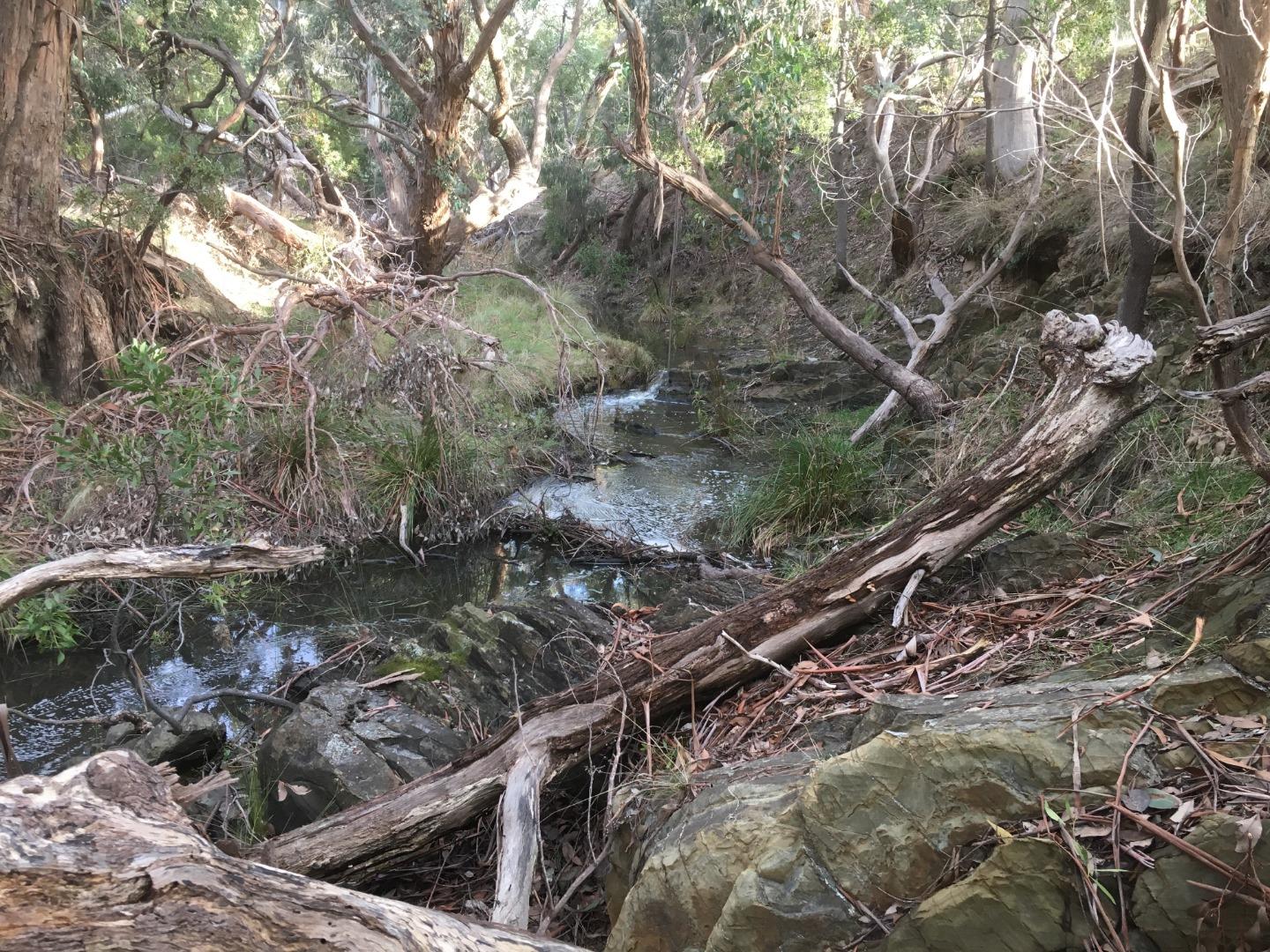
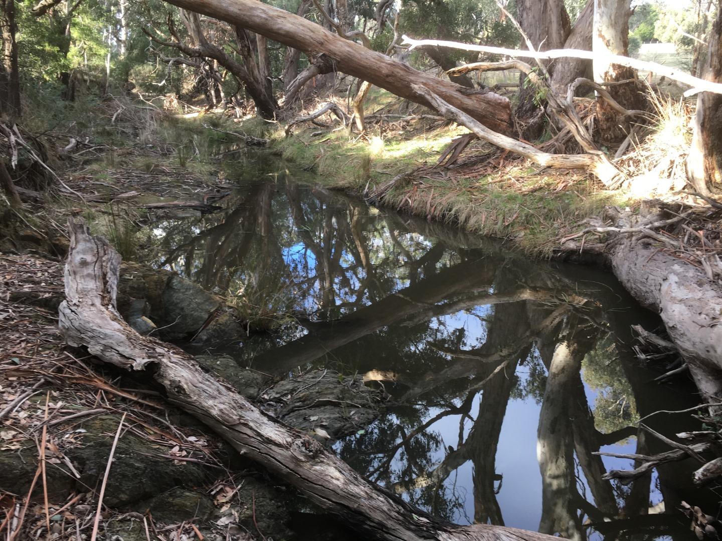
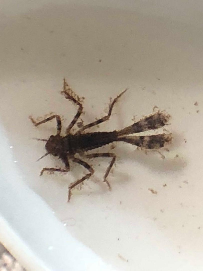
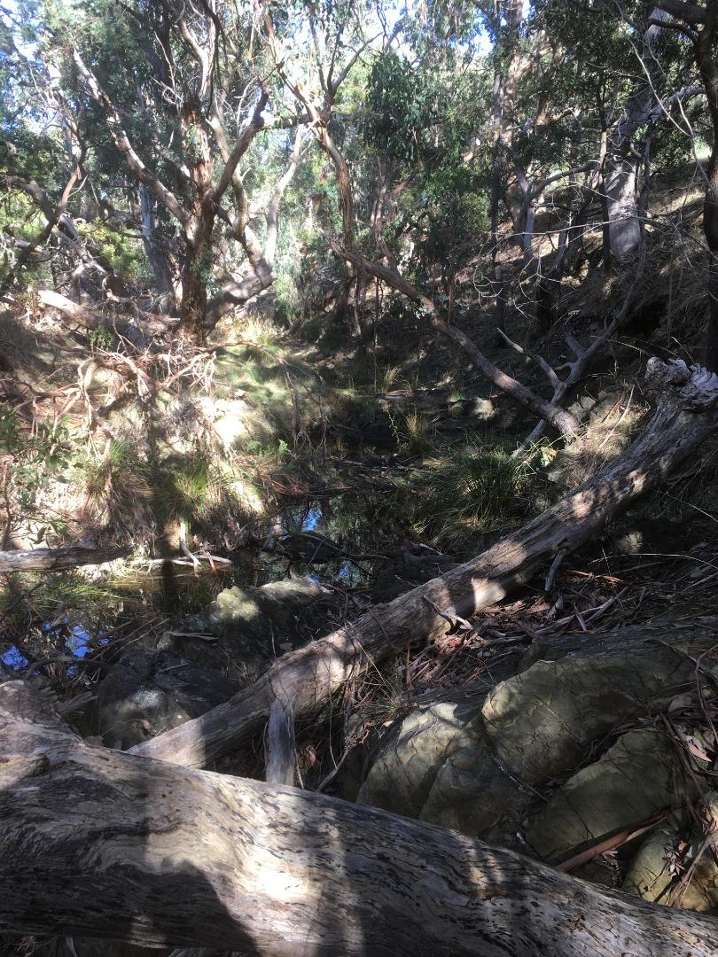
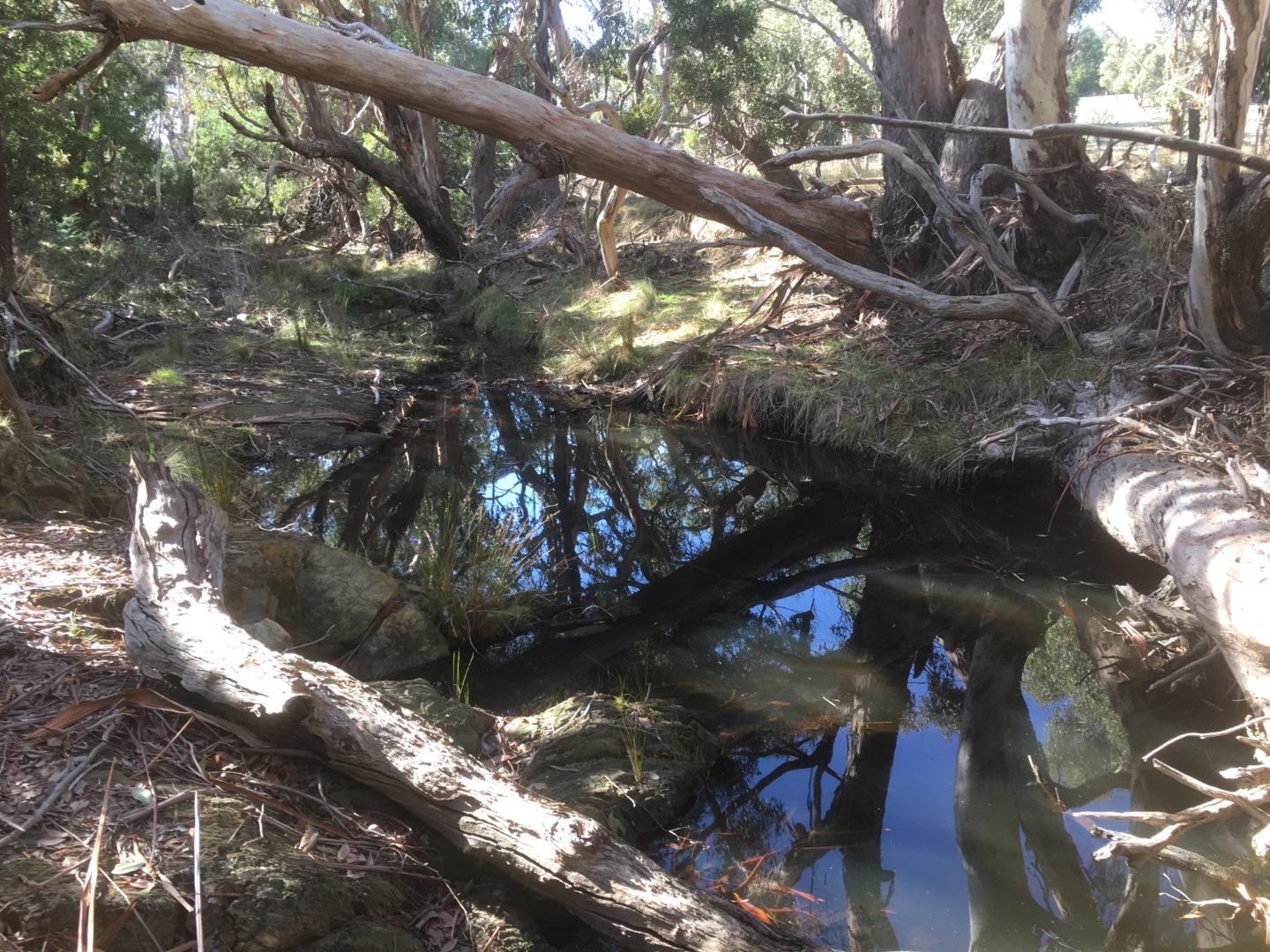
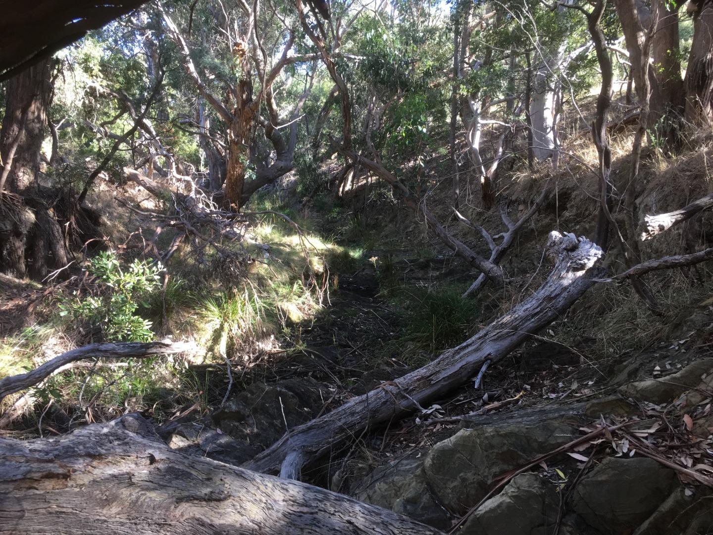
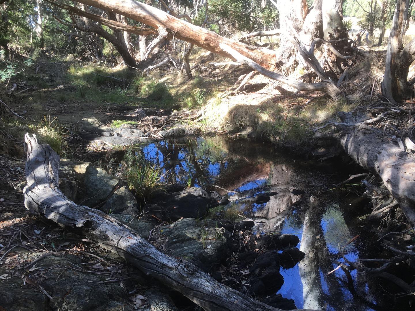
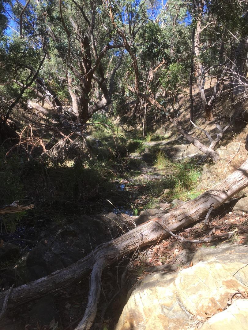
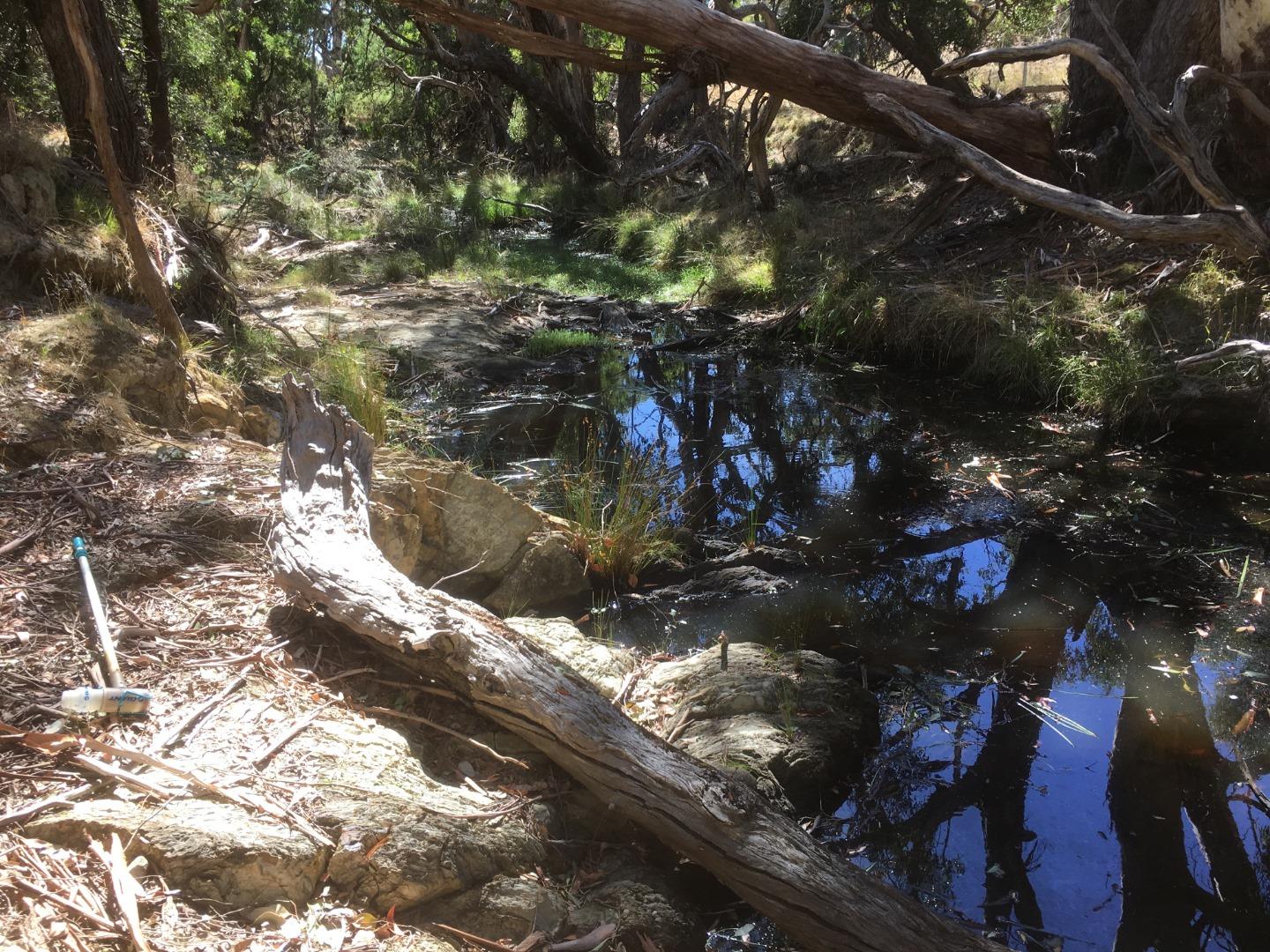
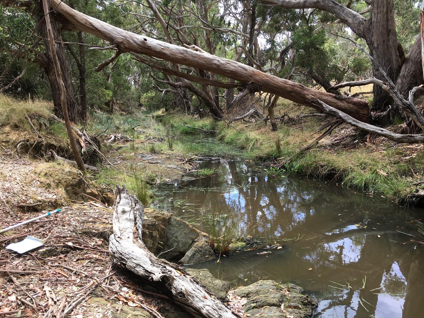
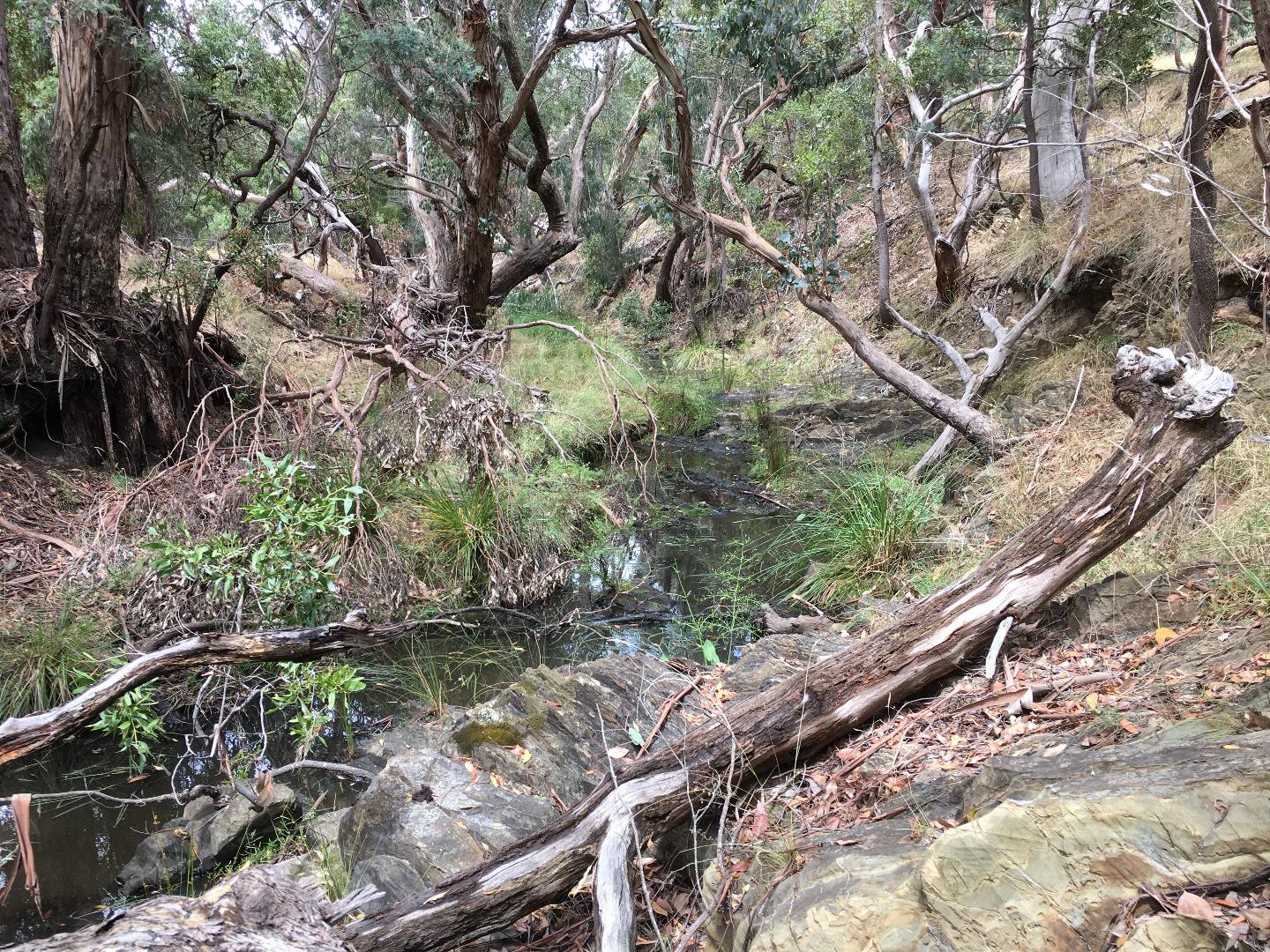
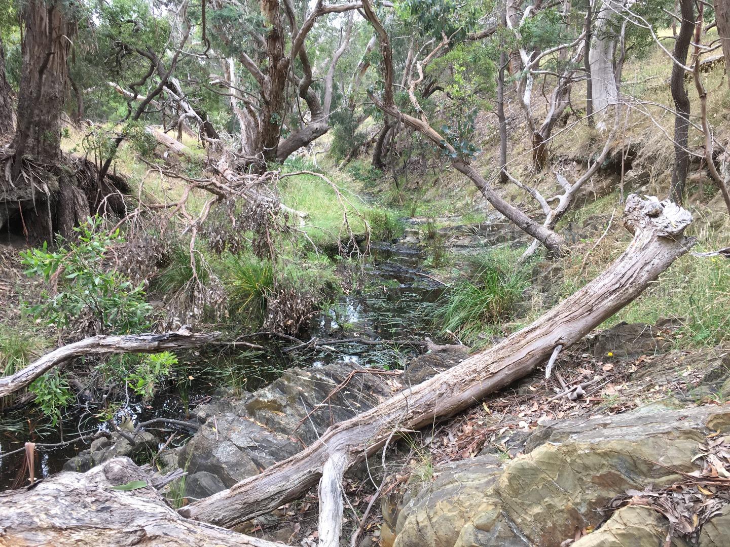
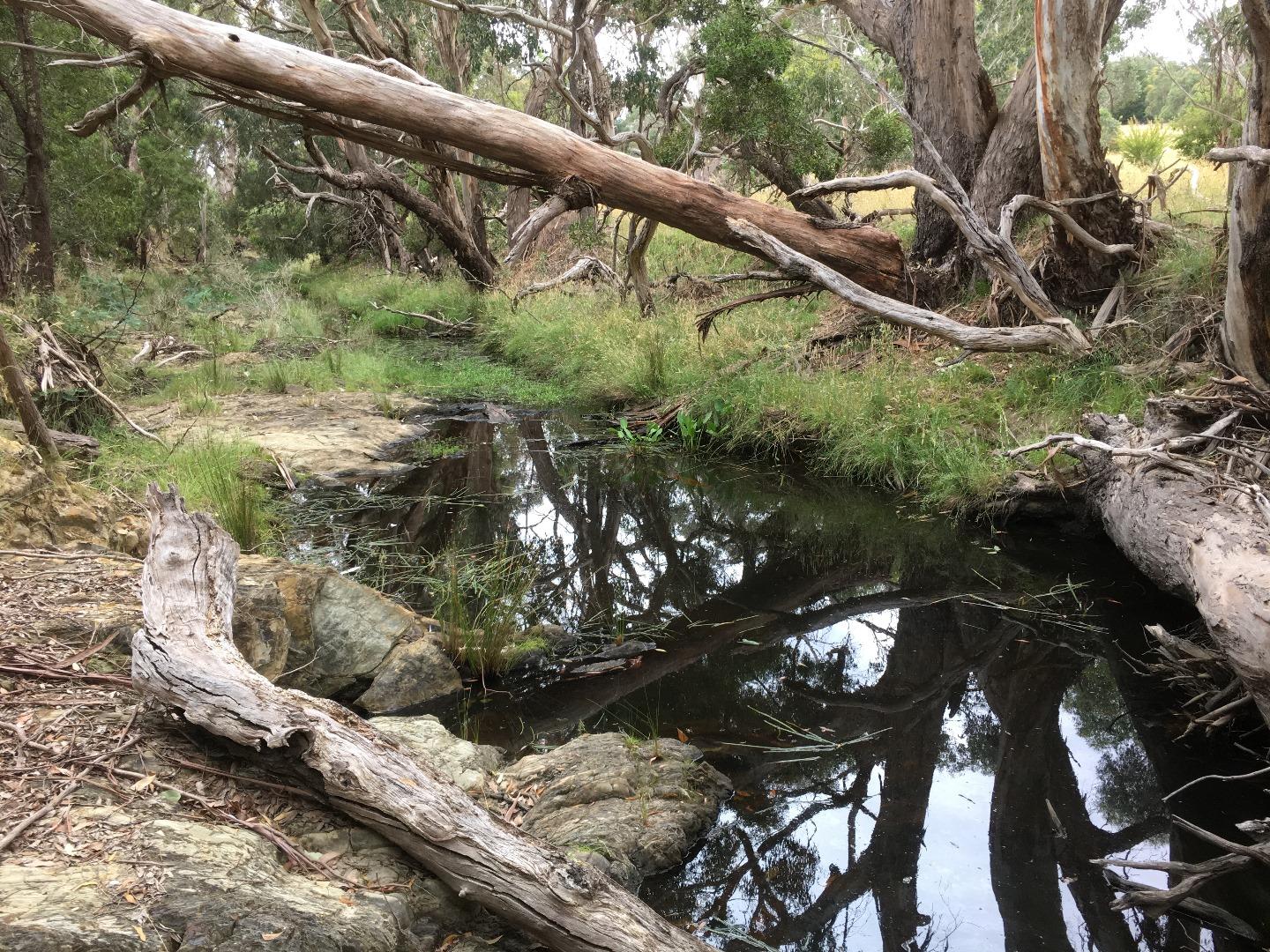
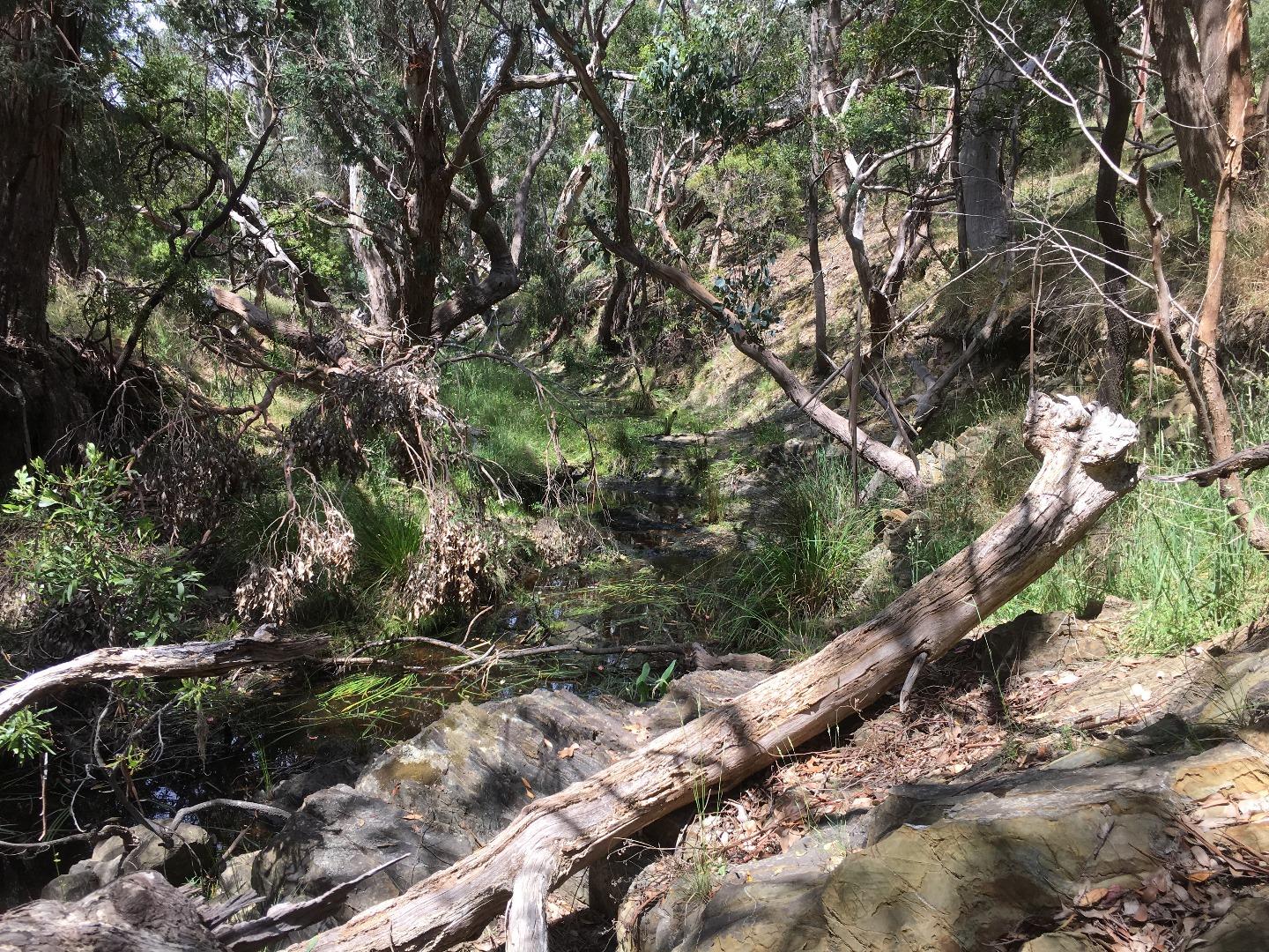
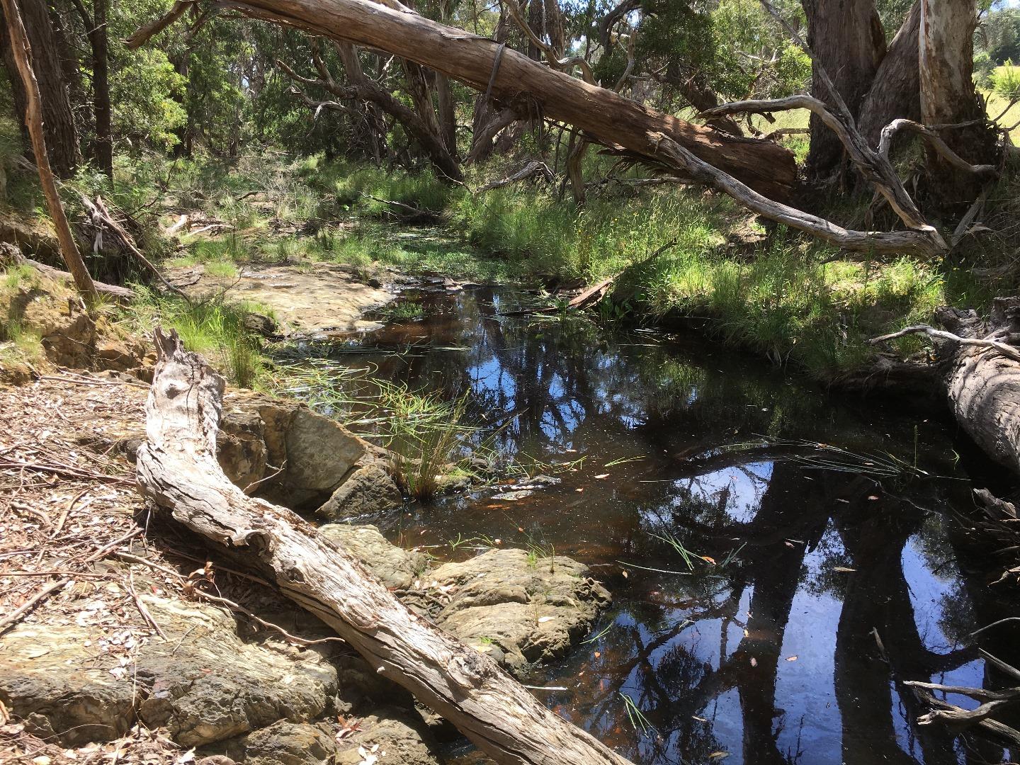
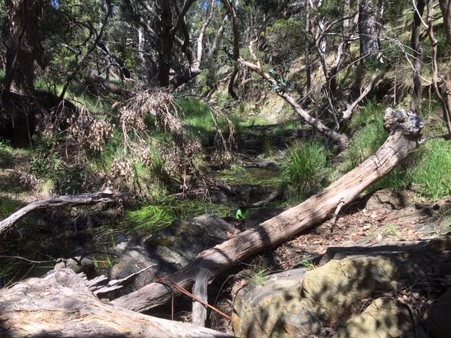
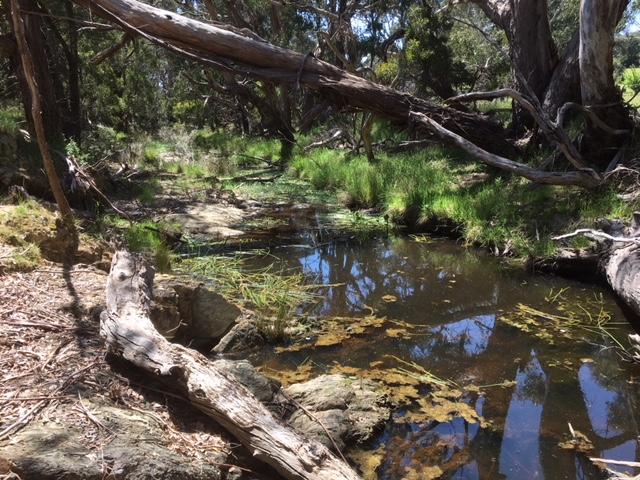
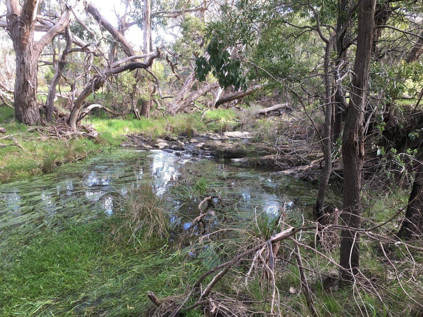
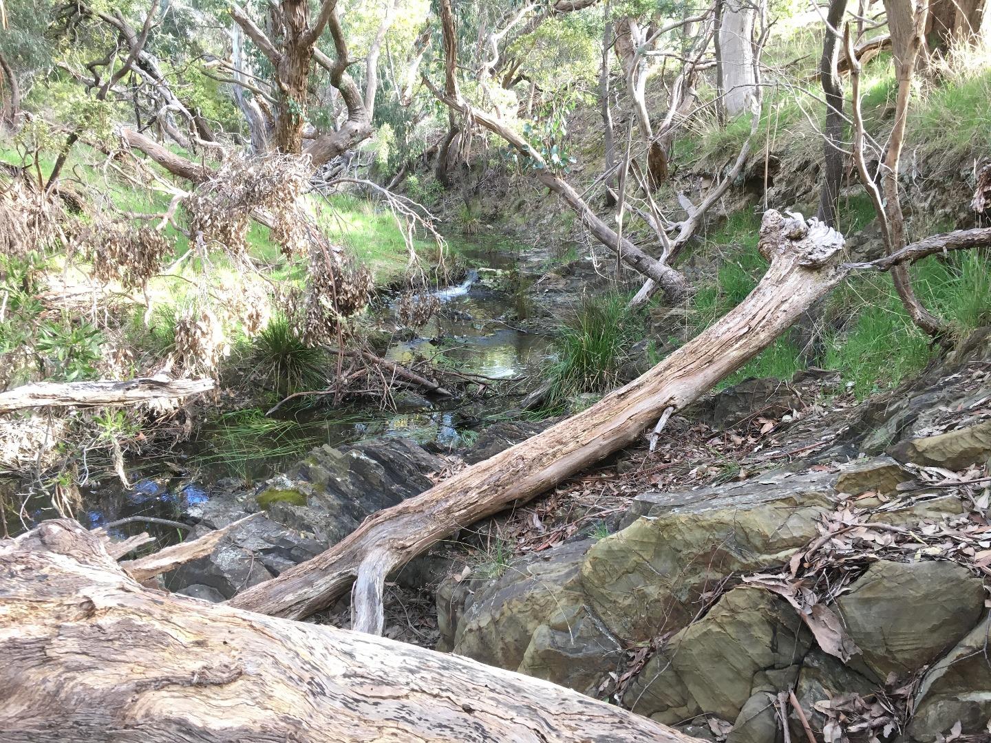
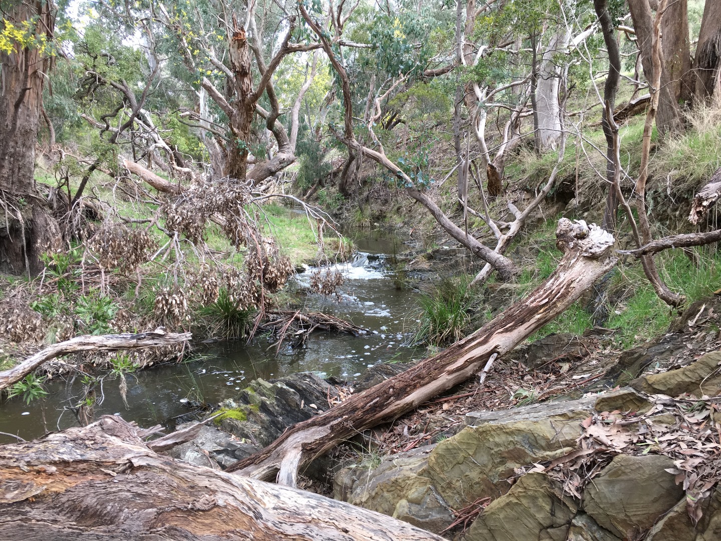
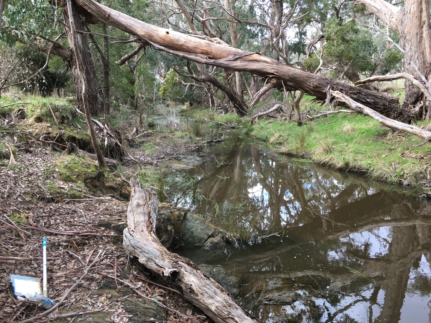
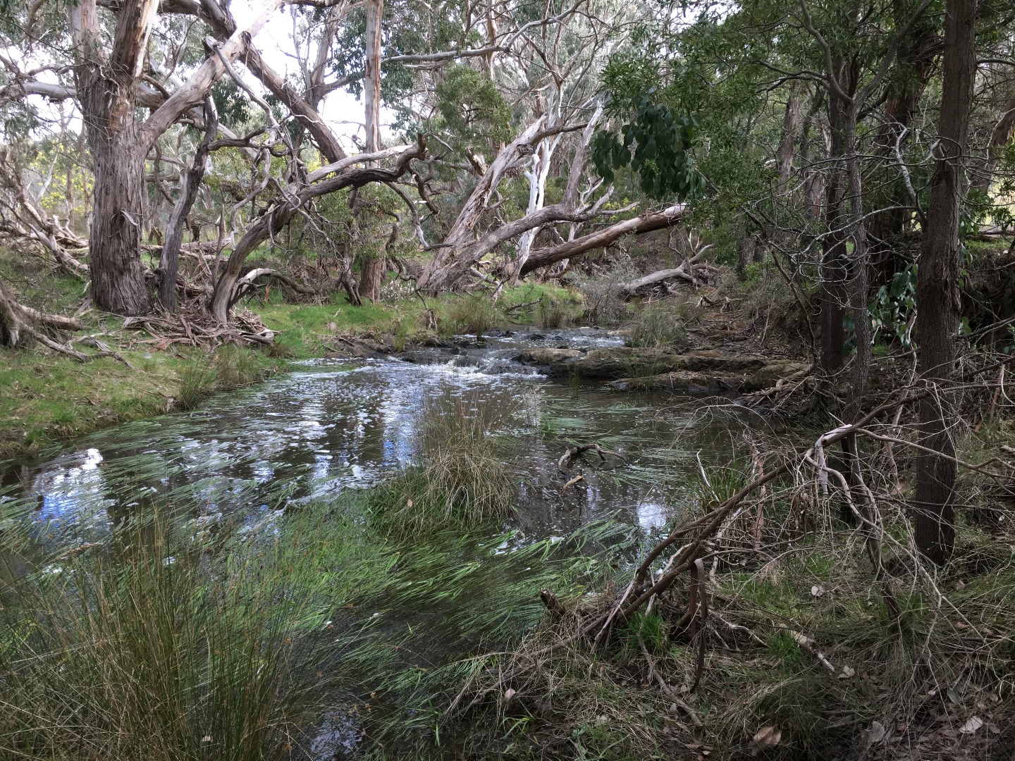
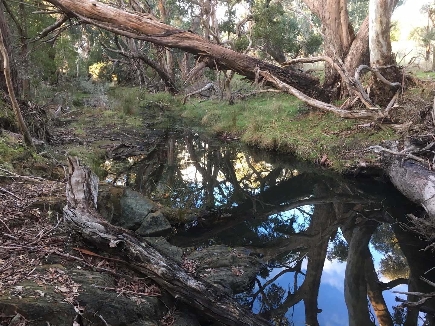
| Site name | Garden Hut Creek @ Above Rapids Kolora |
| Status | Active |
| Water Authority | Melbourne |
| Basin | Maribyrnong River |
| Catchment | Maribyrnong River |
| Sub catchment | Deep Creek |
| Reach | |
| Water type | Creek |
| Council | Macedon Ranges Shire Council |
| History | View all 138 site visits 29-05-2012 - 03-04-2024 |
| Monitoring organisations |
|
Site visits
 Loading chart
| Date | N mg/L NH4+ | D.O. % | D.O mg/L | EC µS/cm | pH pH Units | rP mg/L P | Air ° C | Water ° C | Turb NTU |
|---|---|---|---|---|---|---|---|---|---|
| 04-05-2022 | 32.19 | 3.5 | 800 | 6.6 | 0.05 | 15 | 11.5 | 9 | |
| 06-06-2022 | 34.13 | 4 | 970 | 7 | 0.05 | 7 | 8.3 | 9 | |
| 03-07-2022 | 65.55 | 8 | 660 | 7 | 0.01 | 7.3 | 6.7 | 9 | |
| 02-09-2022 | 87.43 | 10 | 320 | 7.1 | 0.05 | 7.4 | 9.4 | 12 | |
| 01-10-2022 | 78.88 | 8 | 260 | 7.1 | 0.03 | 16 | 14.7 | 13 | |
| 06-11-2022 | 80.6 | 8 | 280 | 7.4 | 0.07 | 20.1 | 15.7 | 9 | |
| 04-12-2022 | 83.53 | 7 | 270 | 7.3 | 0.05 | 29.5 | 24.2 | 9 | |
| 03-01-2023 | 54.5 | 5 | 310 | 7.2 | 0.03 | 17.6 | 19.5 | 9 | |
| 03-02-2023 | 46.99 | 5 | 450 | 7 | 0.05 | 11.3 | 12.5 | 9 | |
| 02-03-2023 | 40.34 | 4 | 590 | 7.1 | 0.07 | 19.4 | 15.7 | 11 | |
| 04-04-2023 | 59.1 | 6 | 610 | 6.8 | 0.07 | 21.9 | 14.6 | 10 | |
| 05-05-2023 | 70.02 | 8 | 660 | 7 | 0.02 | 10.3 | 9.4 | 9 | |
| 01-06-2023 | 62.43 | 7 | 630 | 6.9 | 0.01 | 10.2 | 10.2 | 9 | |
| 30-06-2023 | 84.59 | 10 | 550 | 7.2 | 0.02 | 9.7 | 8 | 9 | |
| 03-09-2023 | 90.23 | 10 | 520 | 6.7 | 0.02 | 16 | 10.7 | 9 | |
| 09-10-2023 | 78.43 | 8 | 510 | 6.7 | 0.02 | 13.7 | 14.4 | 9 | |
| 05-12-2023 | 77.72 | 7 | 520 | 6.7 | 0.07 | 28.9 | 20.4 | 9 | |
| 04-01-2024 | 89.68 | 8 | 460 | 6.8 | 0.03 | 18.7 | 20.9 | 9 | |
| 04-02-2024 | 64.24 | 6 | 420 | 6.6 | 0.05 | 27 | 18.6 | 9 | |
| 06-03-2024 | 42.75 | 4 | 520 | 6.7 | 0.05 | 32 | 18.5 | 9 |
Habitat
| Date | Comment | Bank Erosion Stability | Bank Vegetation | In Stream Cover | Riffles Pools Bends | Verge Vegetation | Overall |
|---|---|---|---|---|---|---|---|
| 02-01-2021 | Poor 2 | Good 8 | Excellent 10 | Excellent 5 | Good 8 | 33 | |
| 07-06-2018 | Fair 3 | Fair 6 | Good 8 | Good 4 | Fair 6 | 27 | |
| 28-02-2018 | Good 4 | Good 8 | Good 8 | Fair 3 | Fair 6 | 29 |


All content, files, data and images provided by the Waterwatch Data Portal and Gallery are subject to a Creative Commons Attribution License
Content is made available to be used in any way, and should always attribute Waterwatch and www.vic.waterwatch.org.au
.png)