Waterwatch Data Portal
Site details
Overview
| Site code | MA_CSA200 |
|---|---|
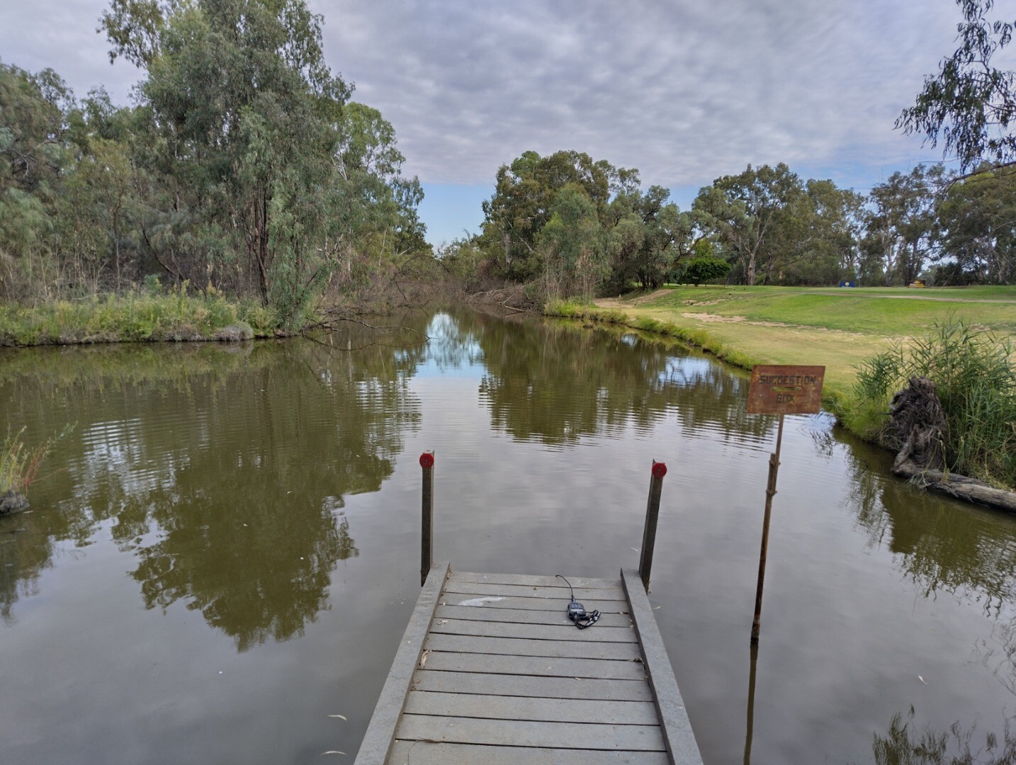
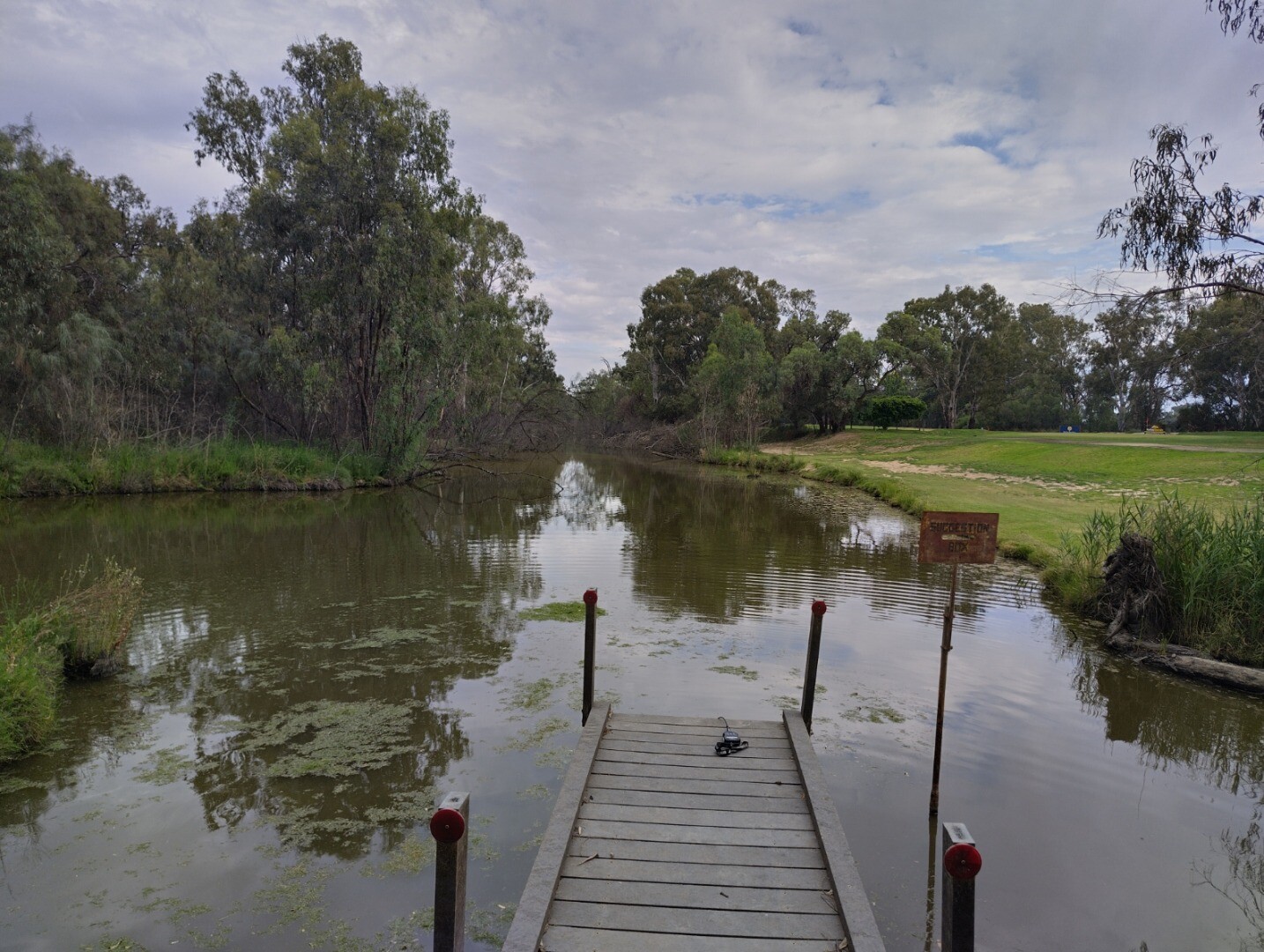
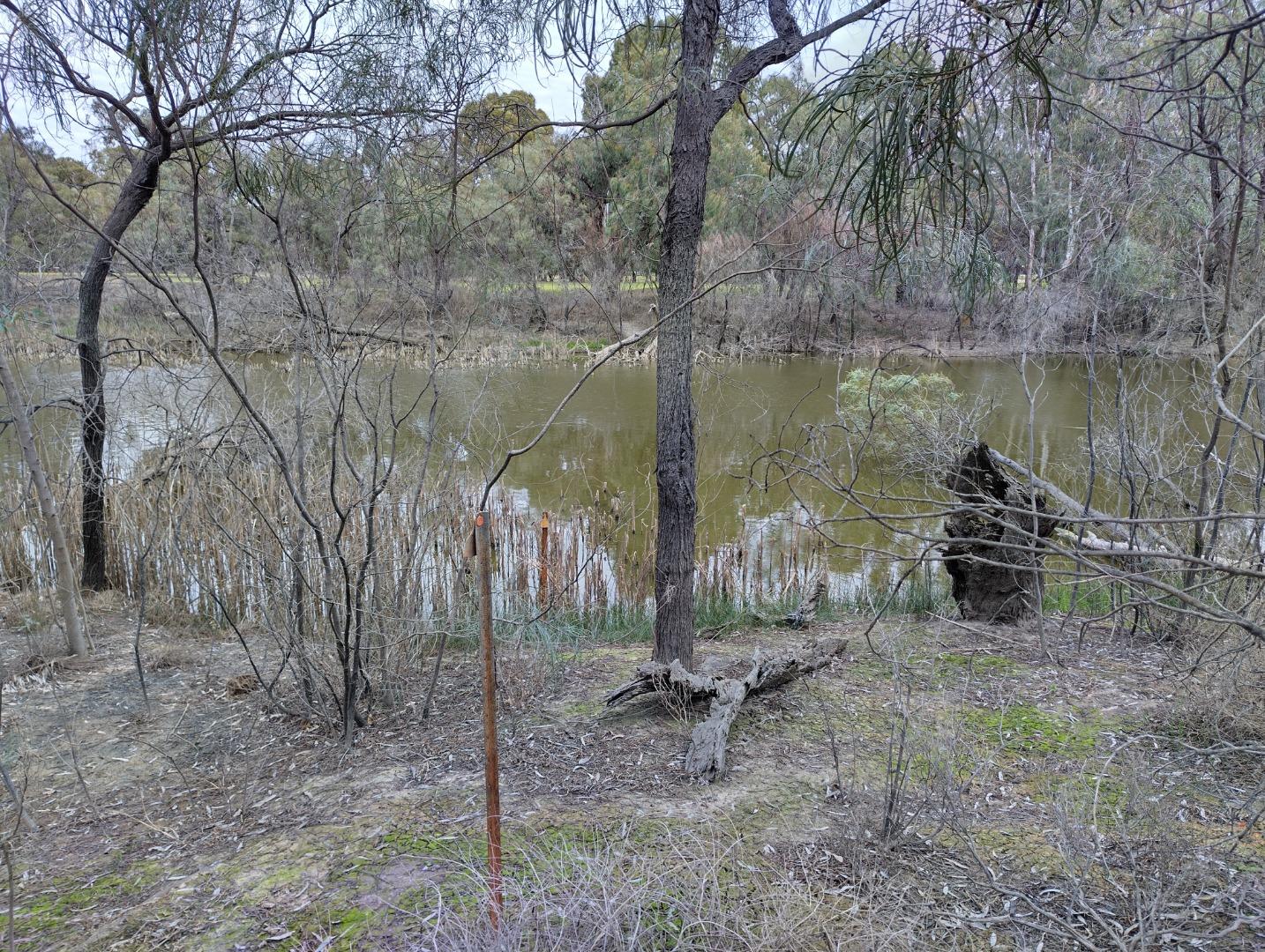
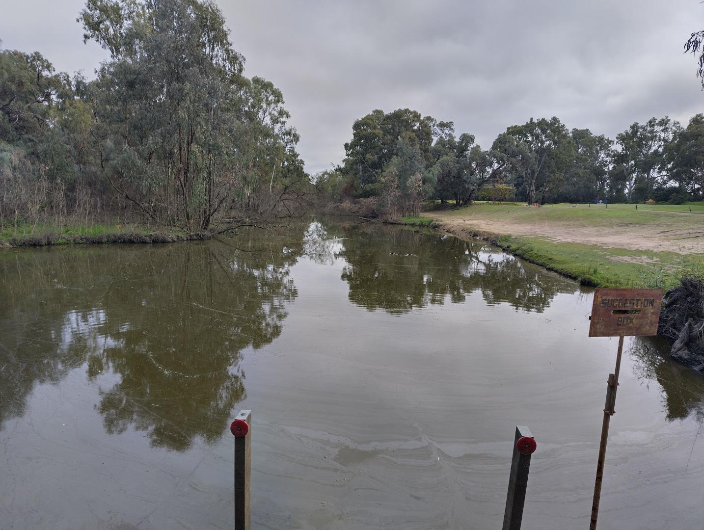
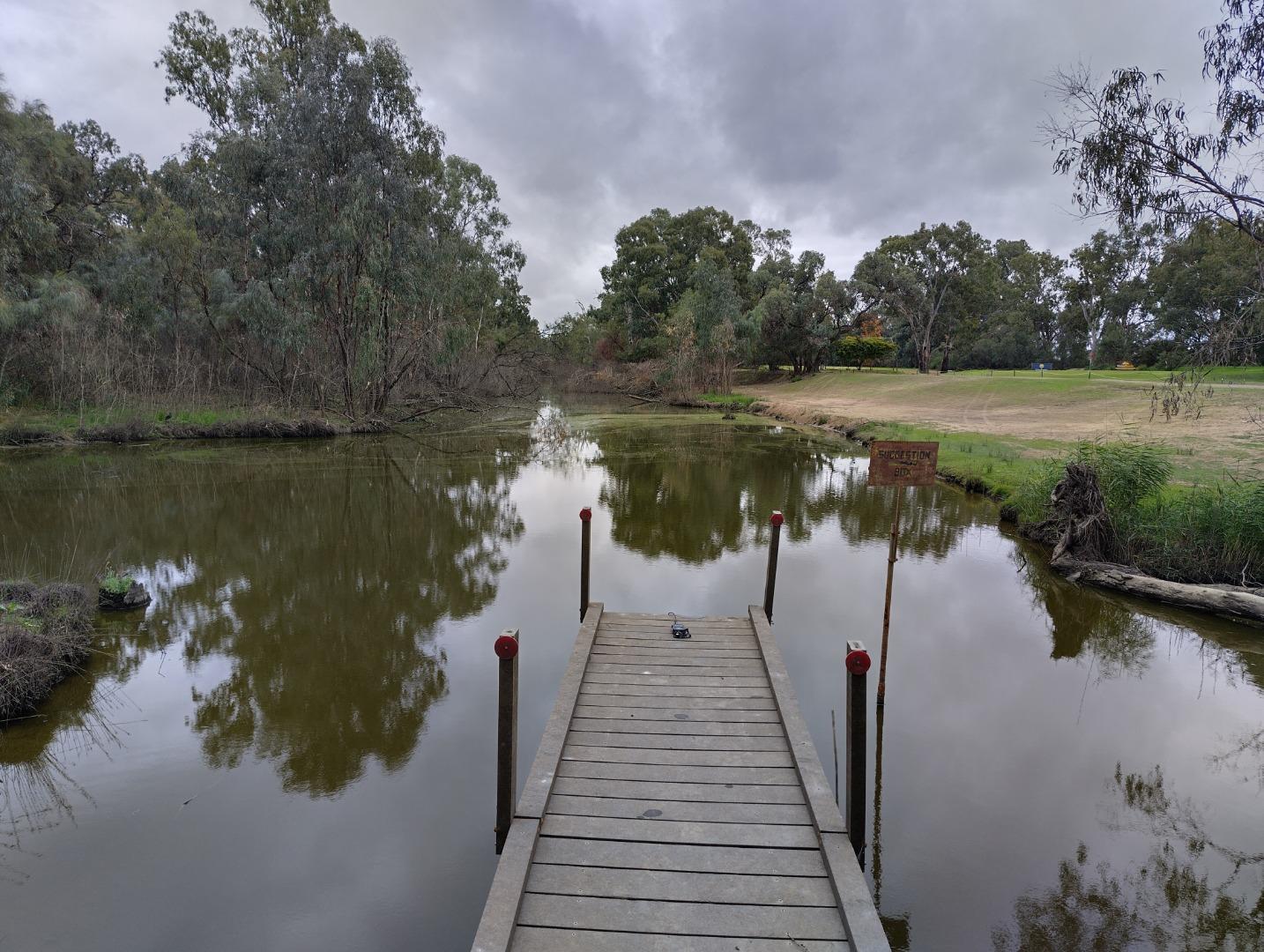
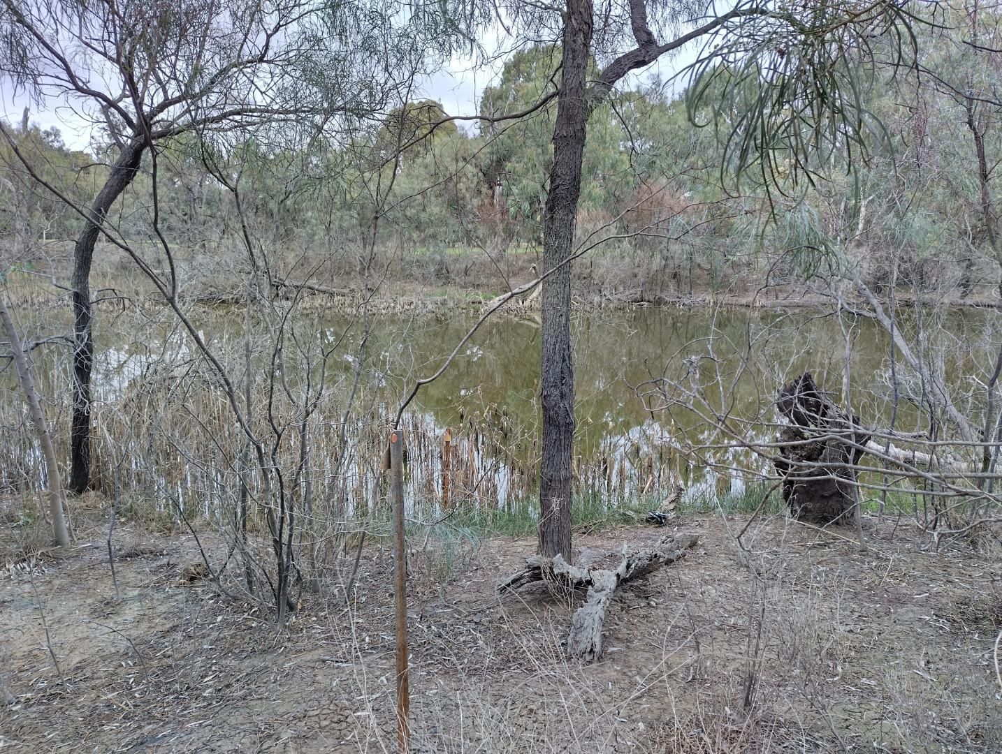
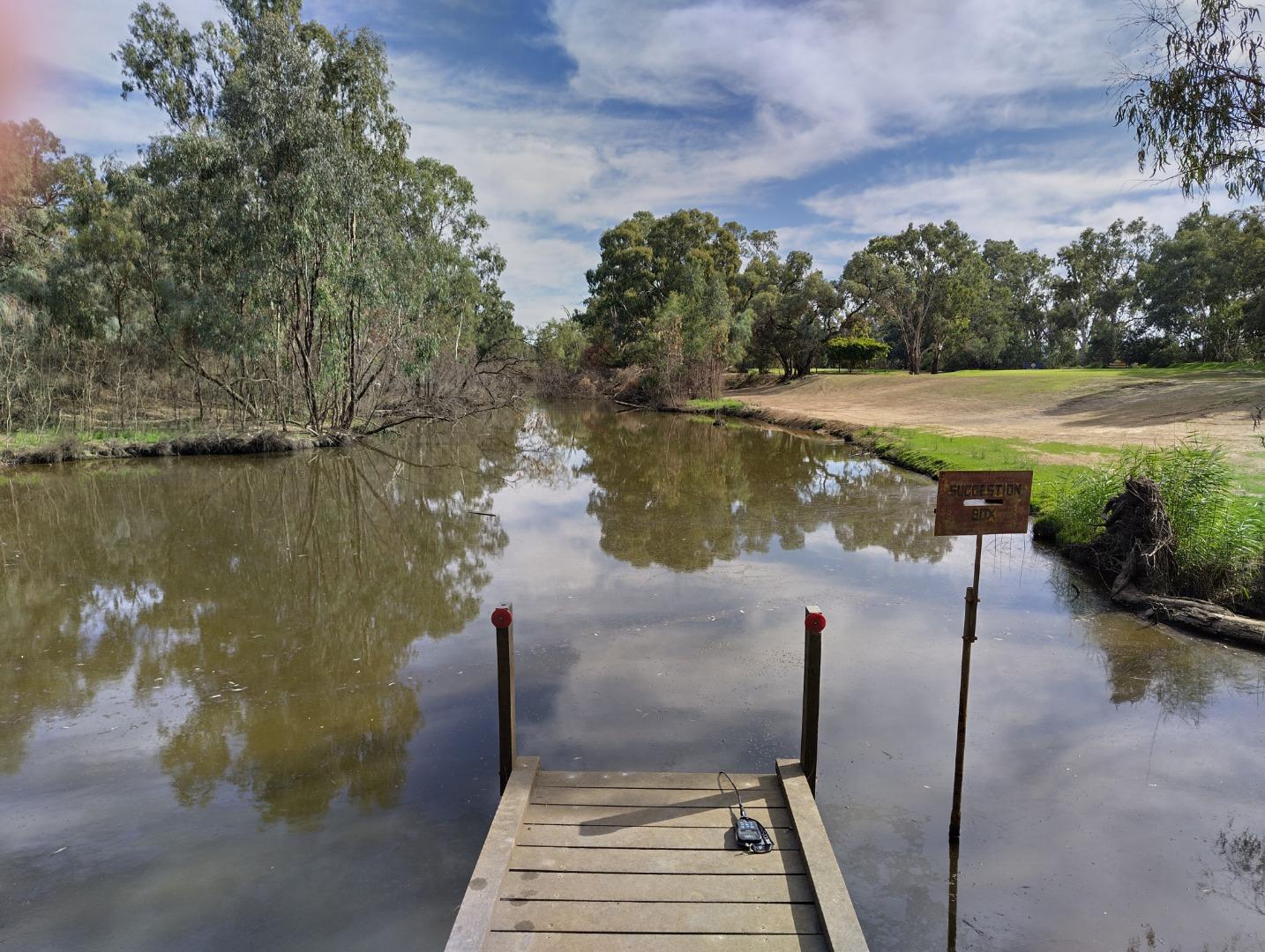
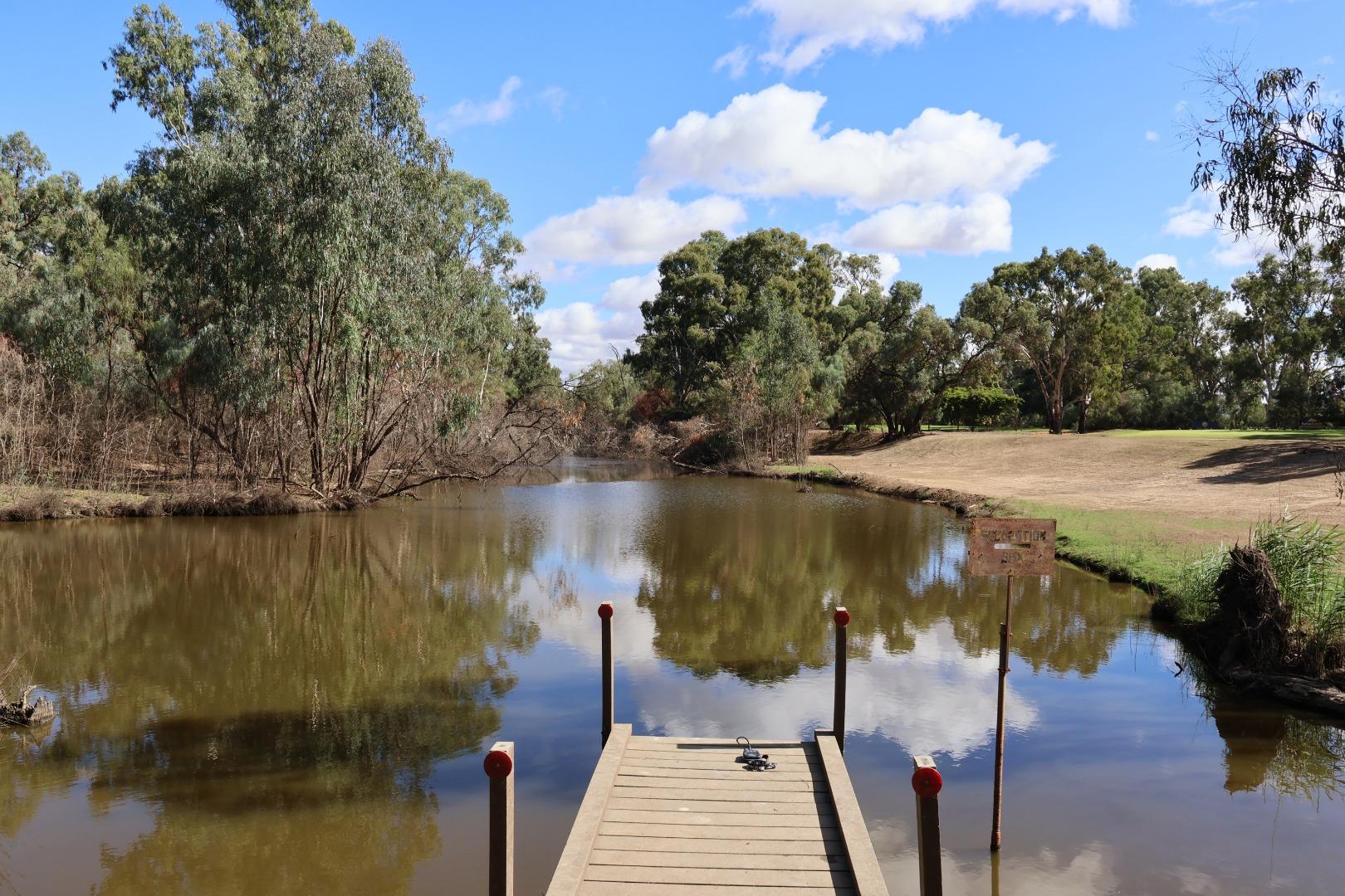
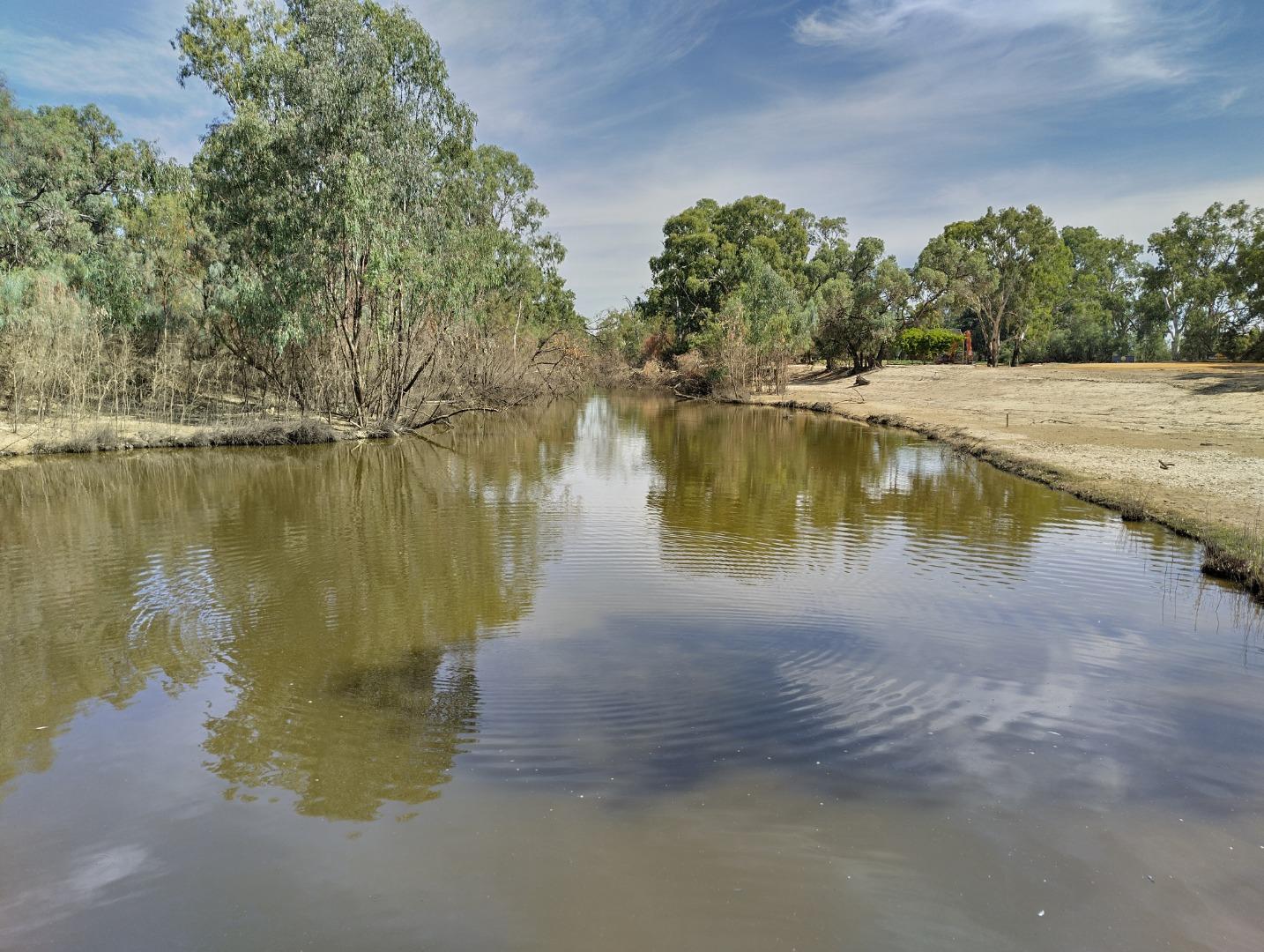
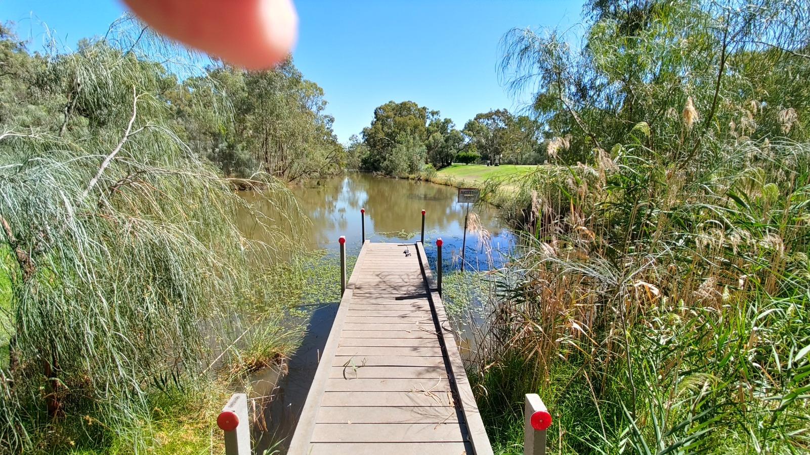
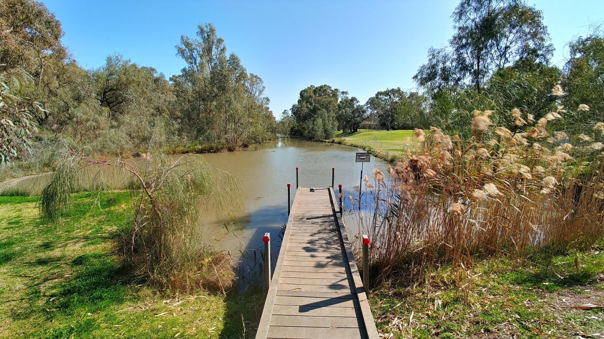
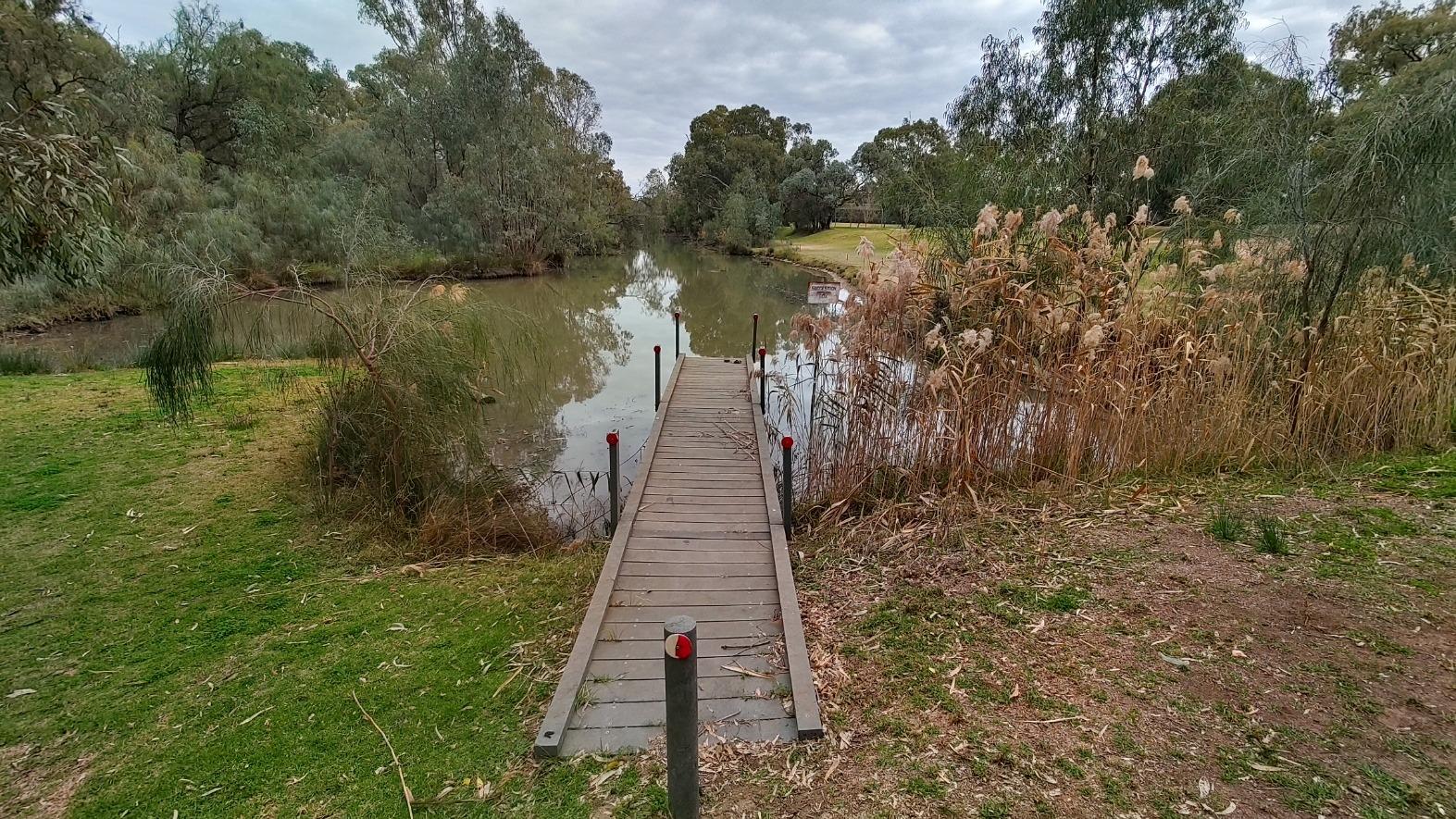
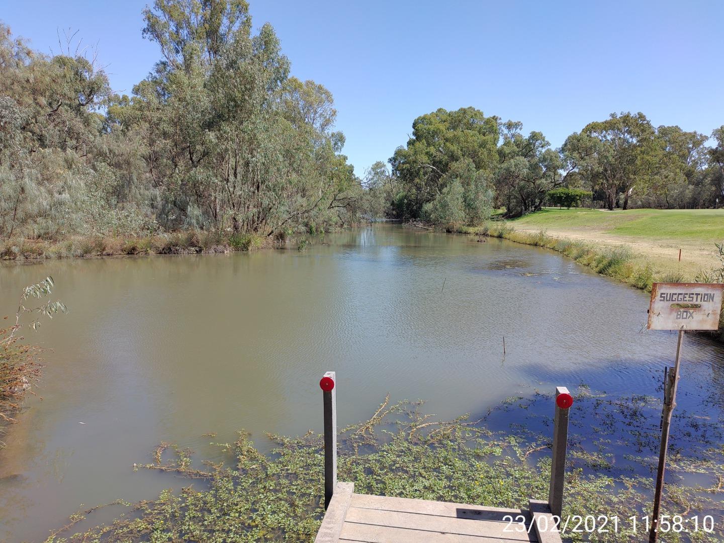
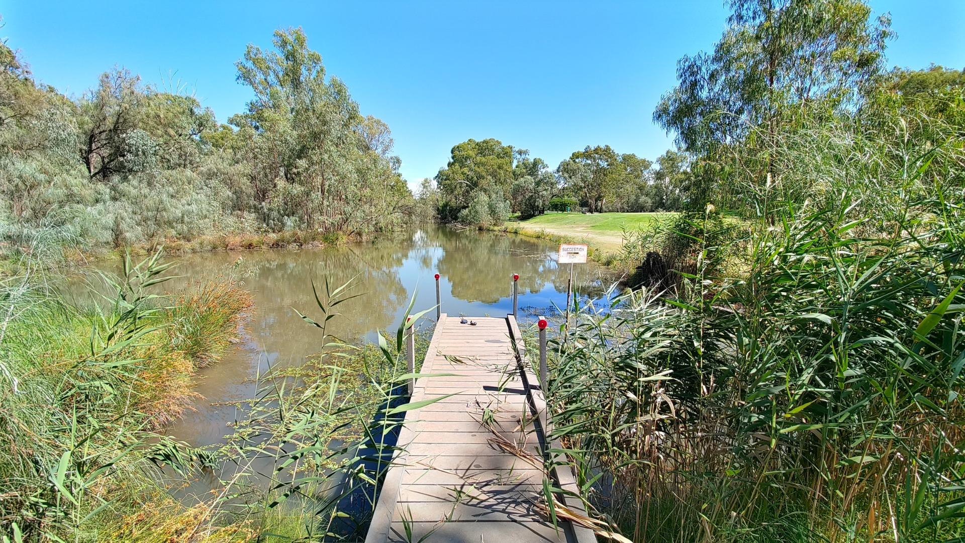
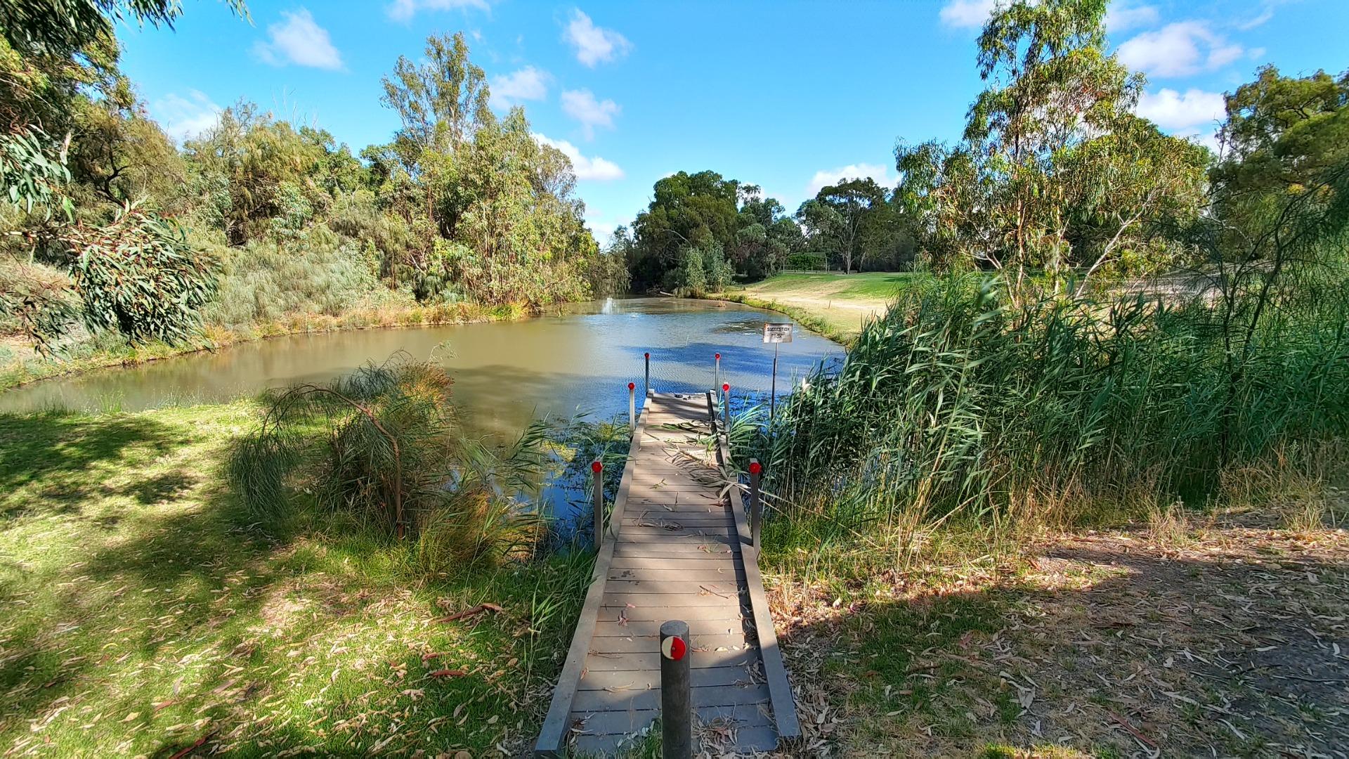
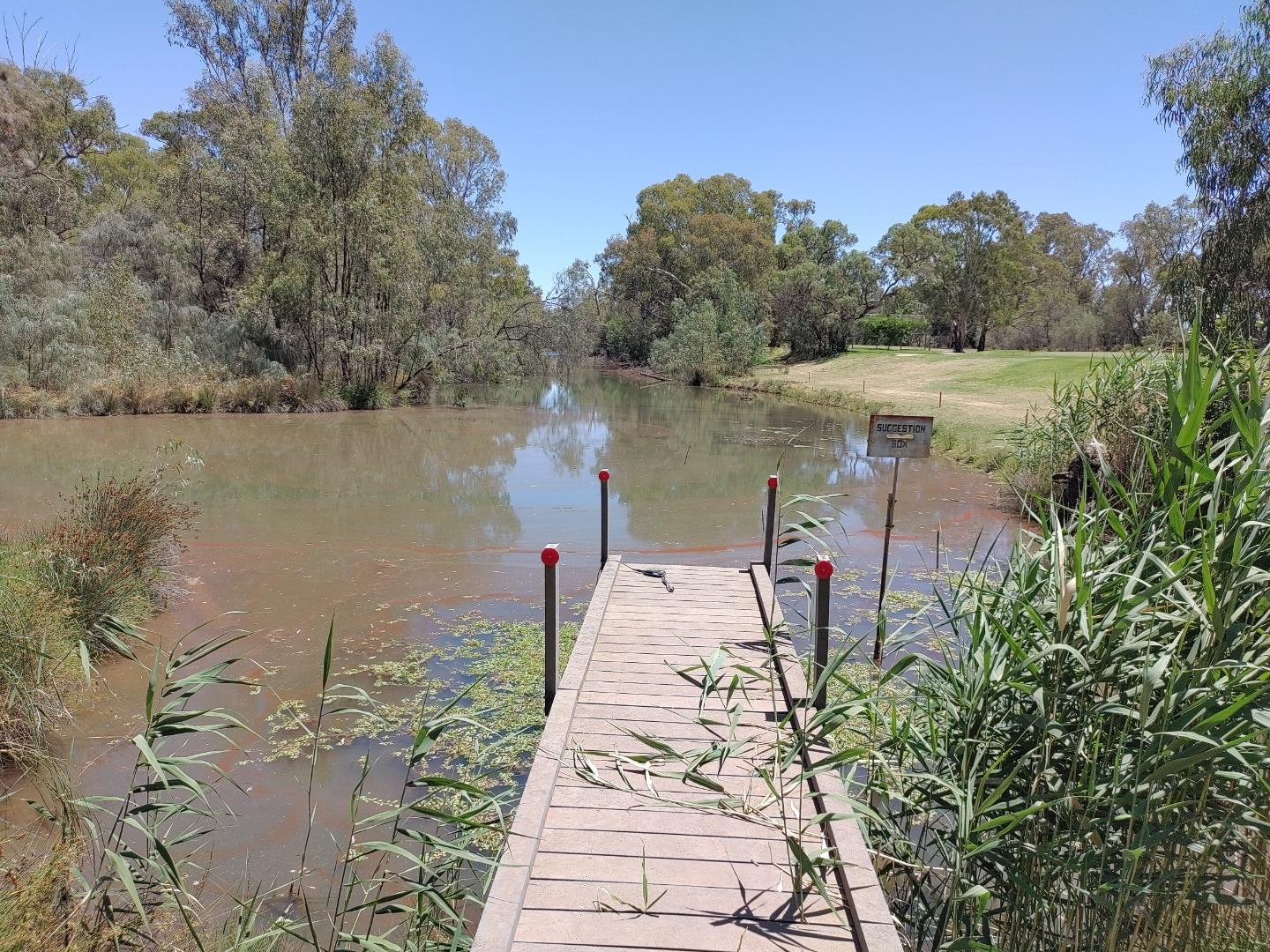
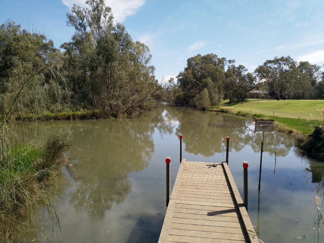
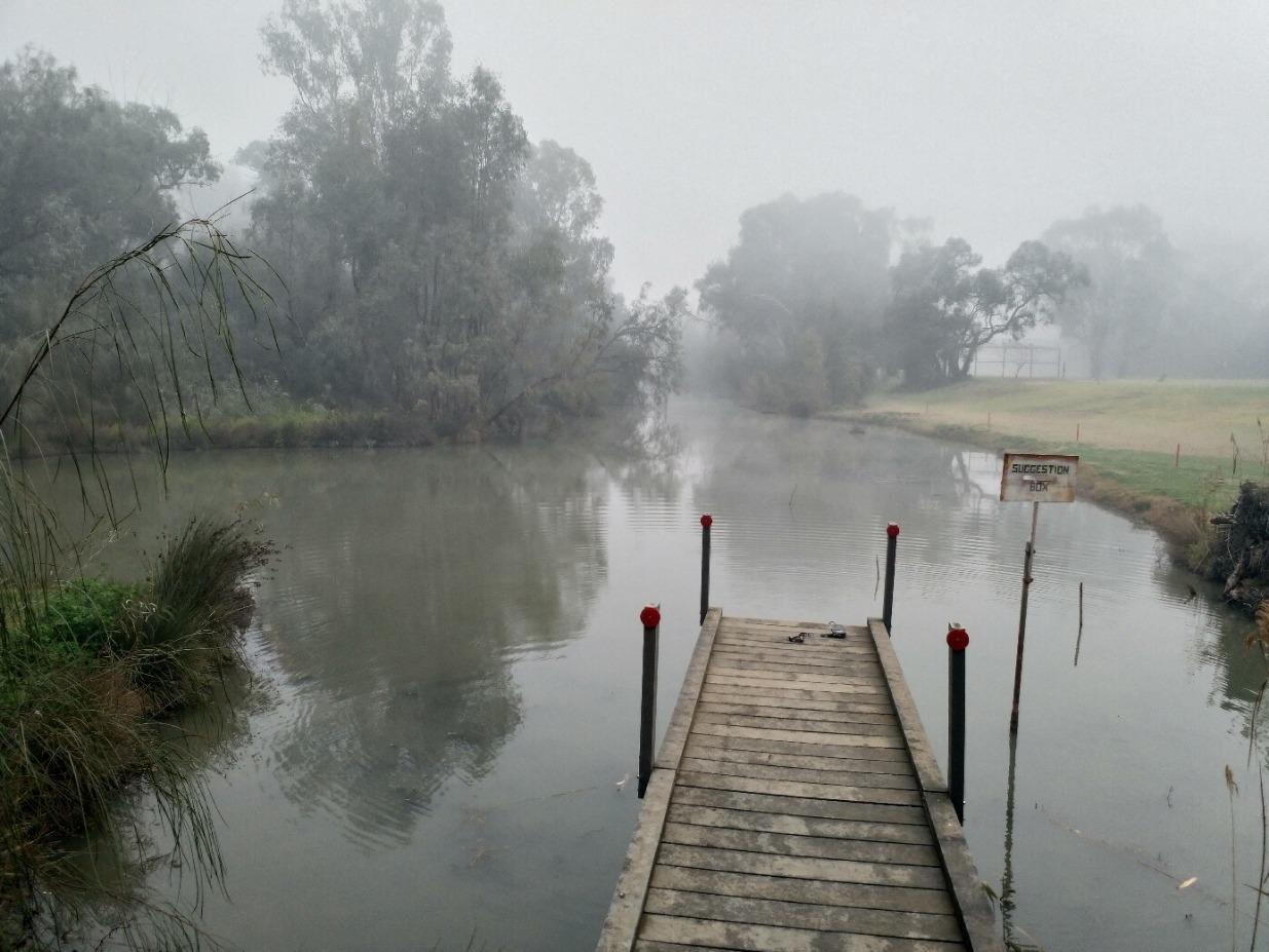
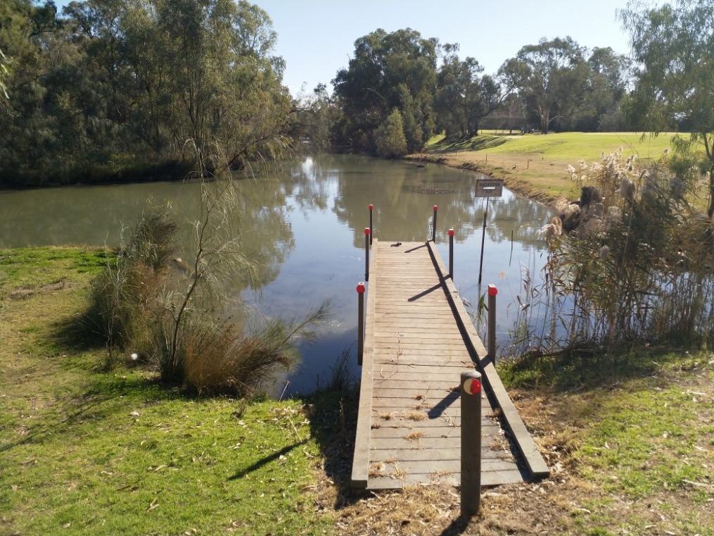
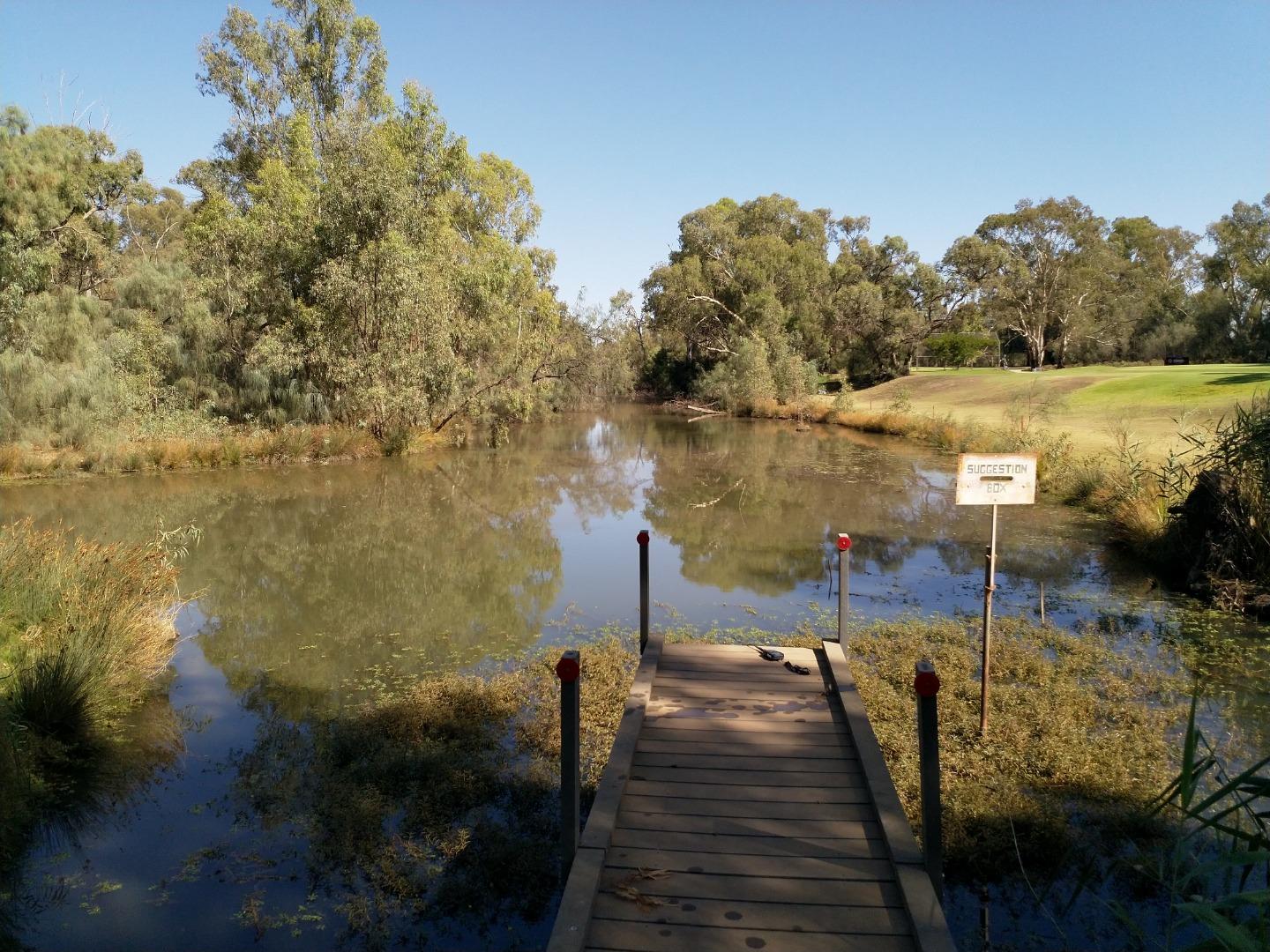
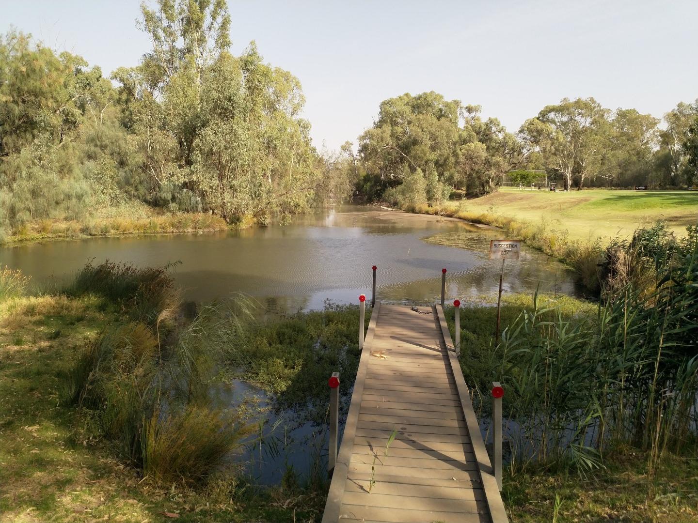
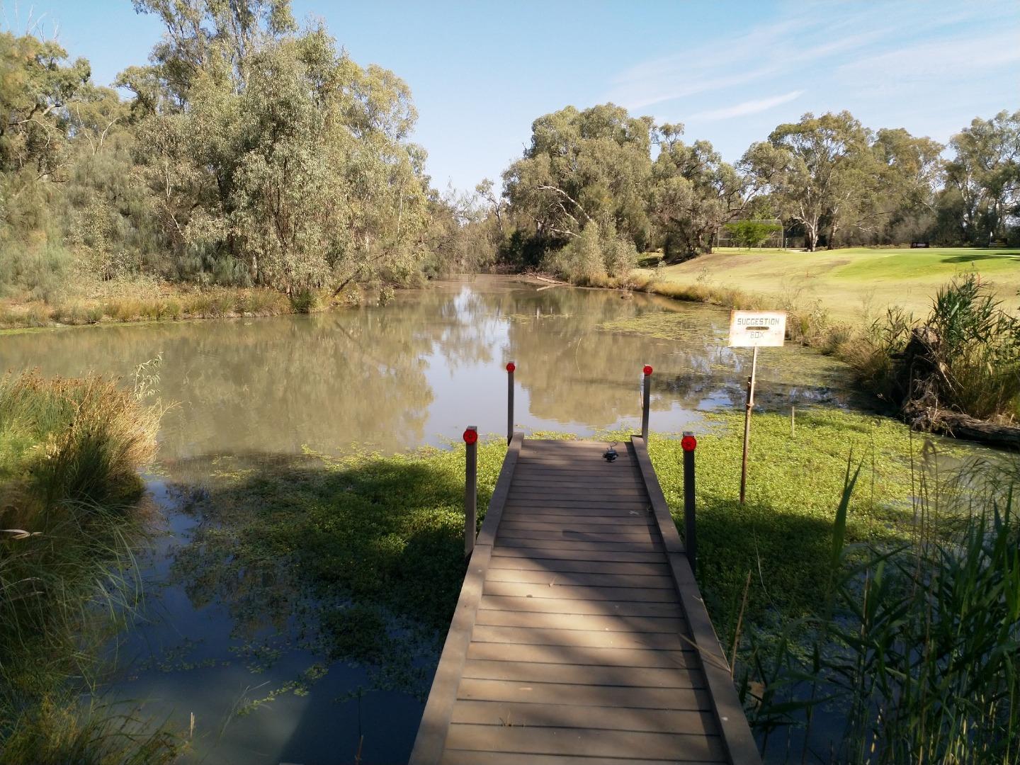
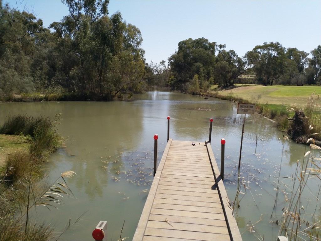
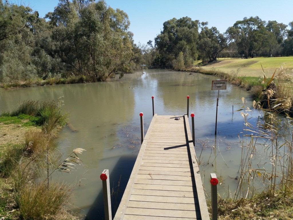
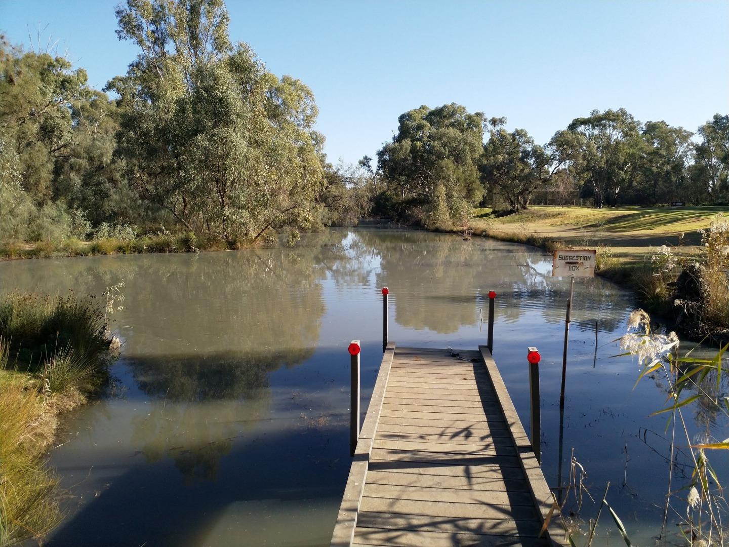
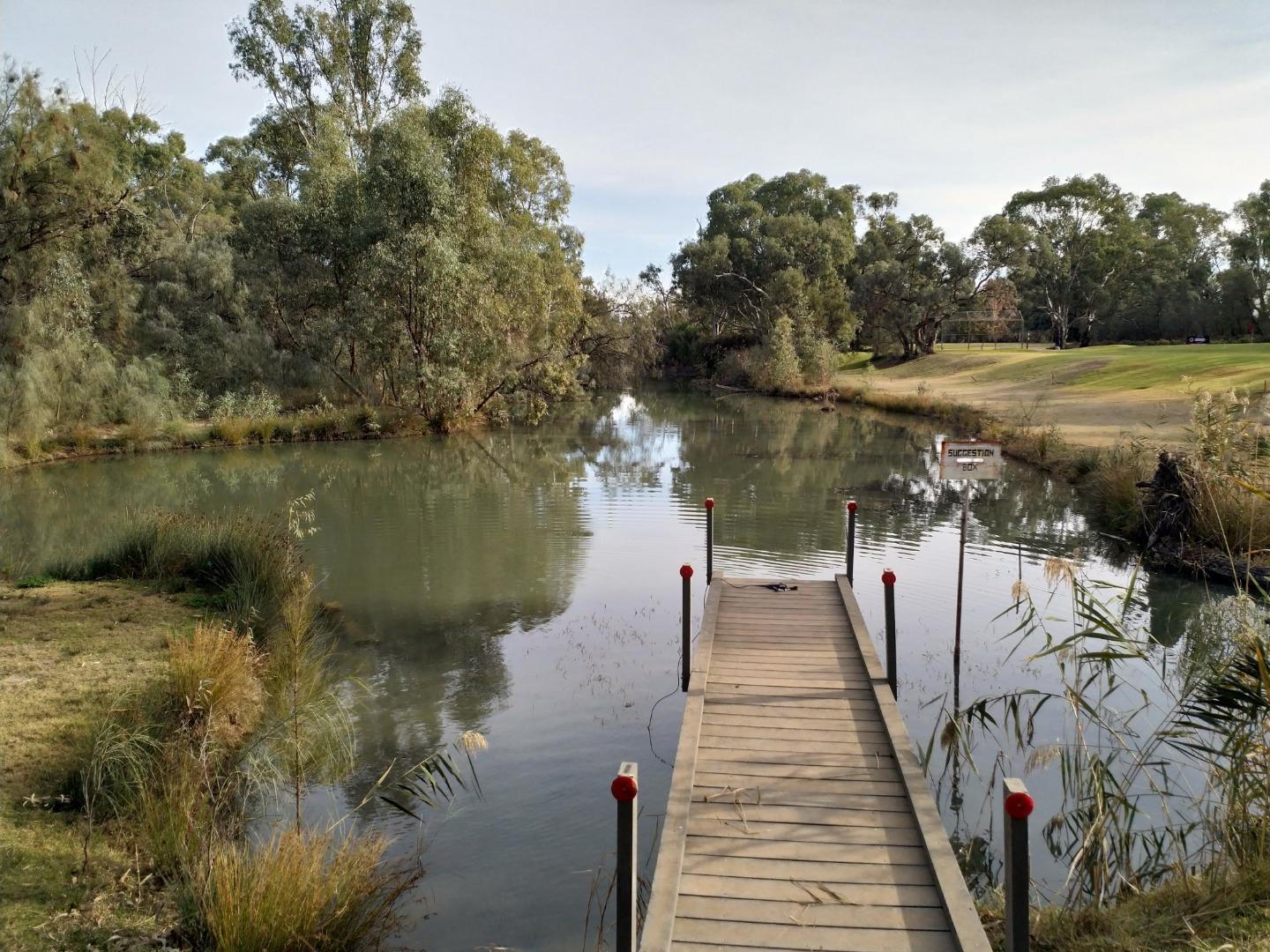
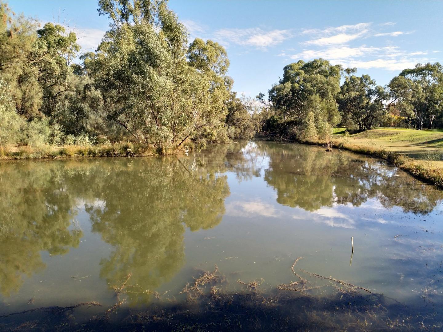
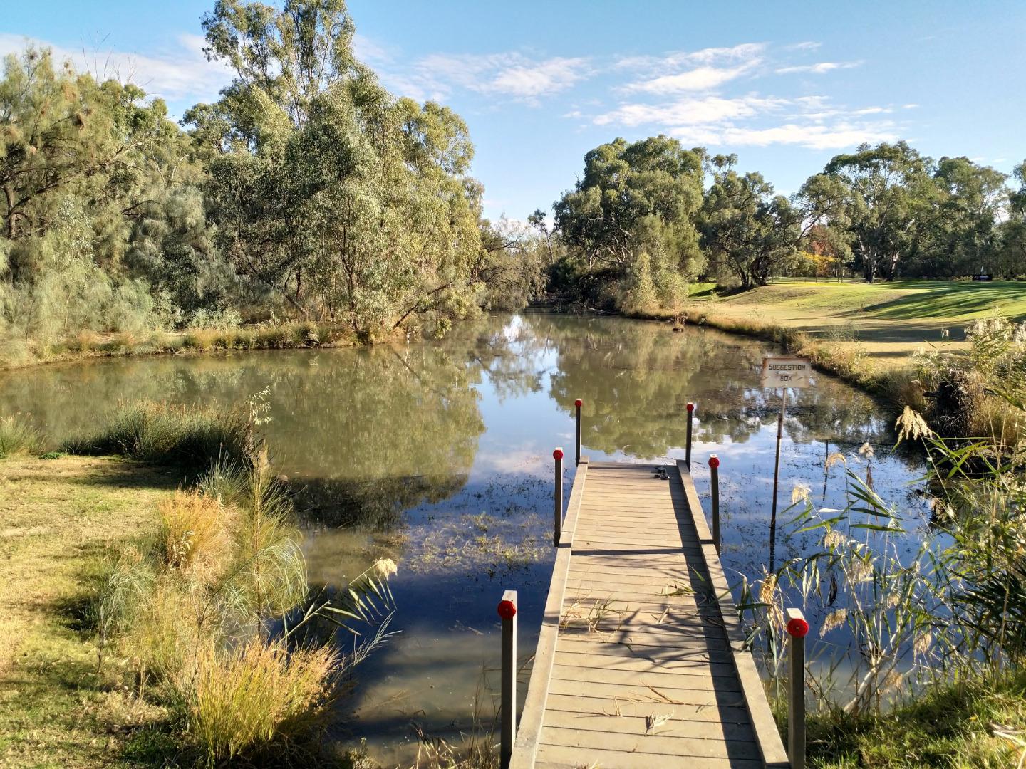
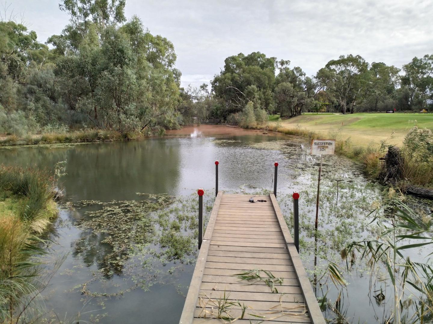
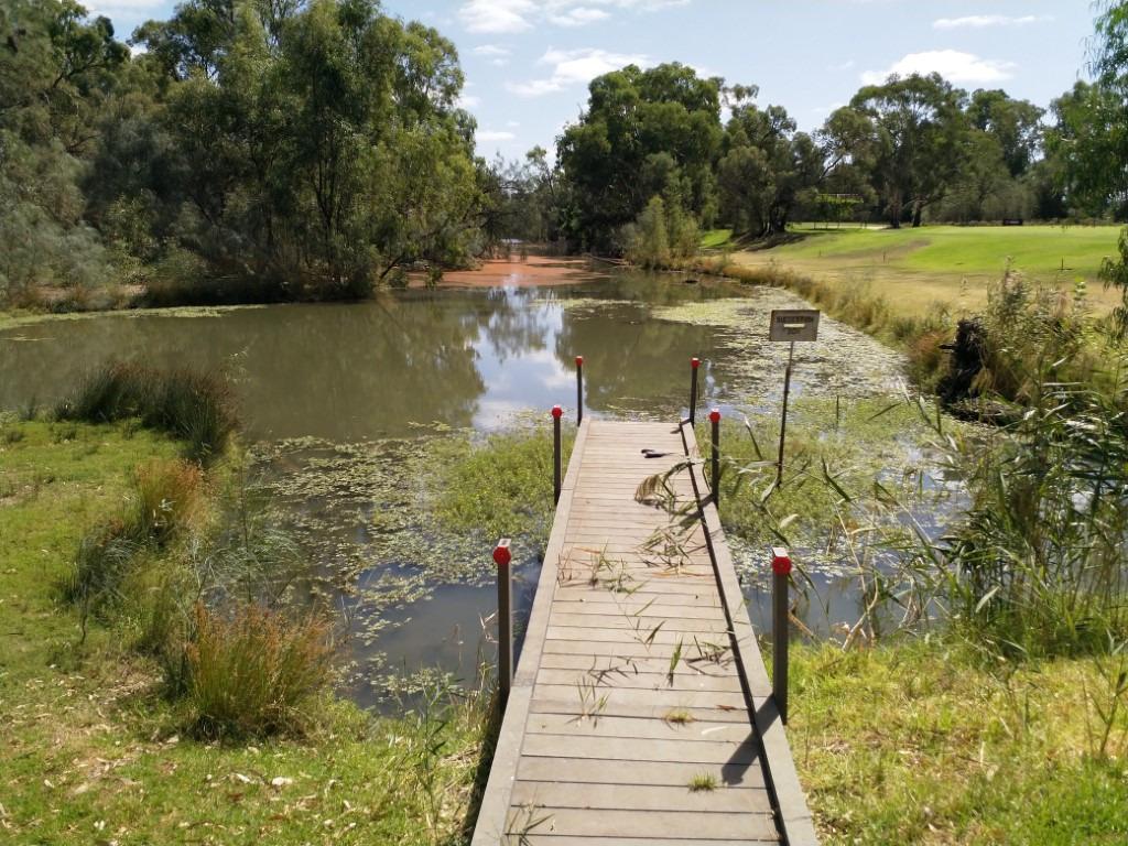
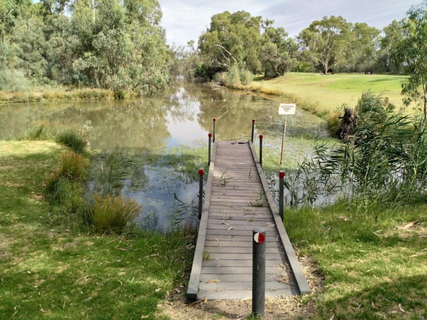
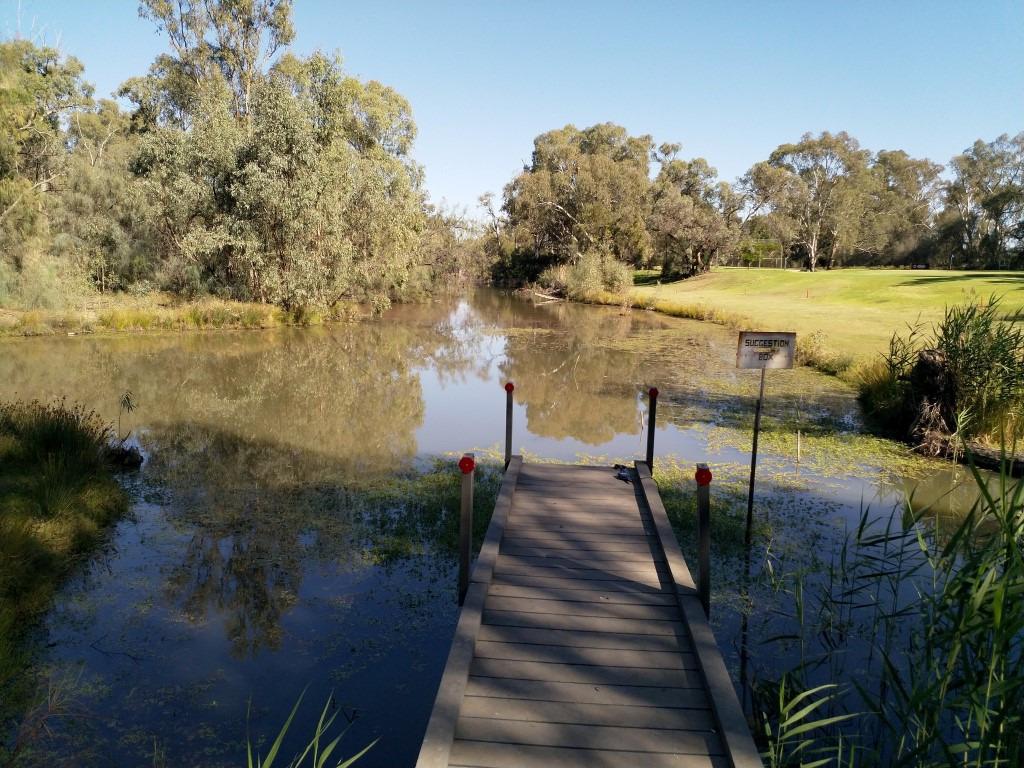
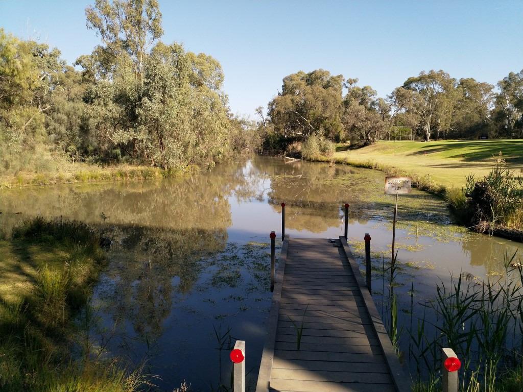
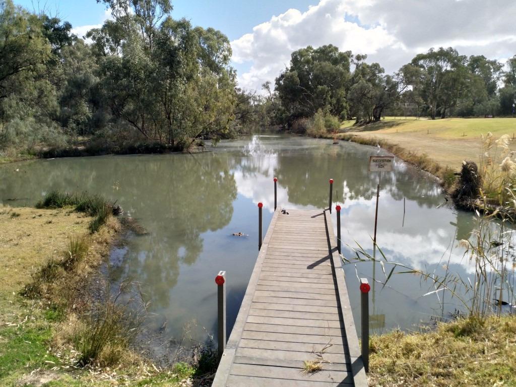
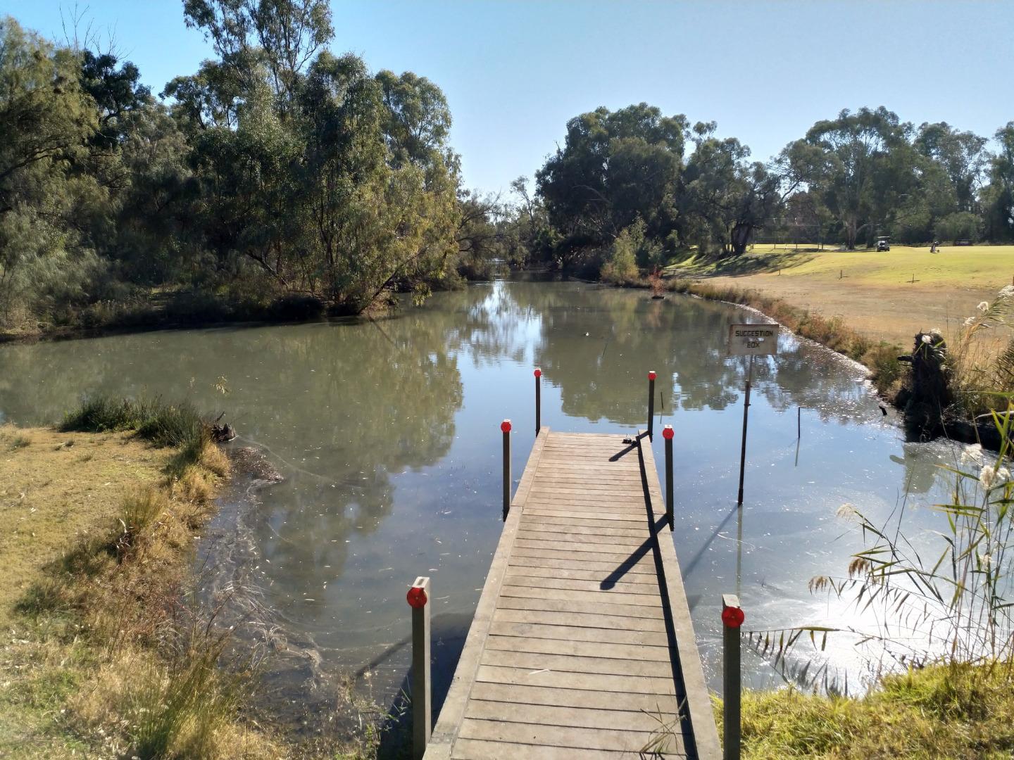
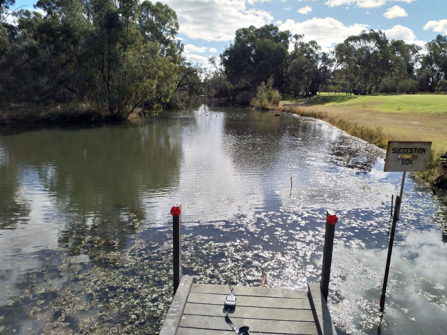
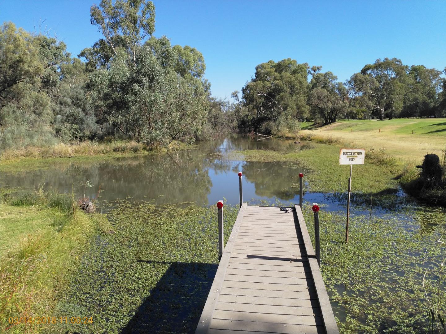
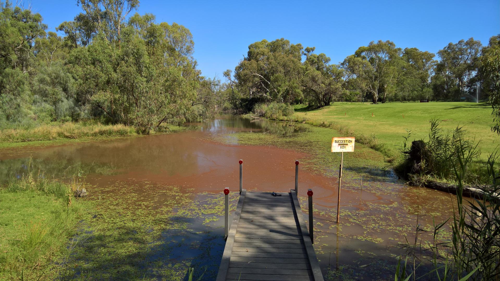
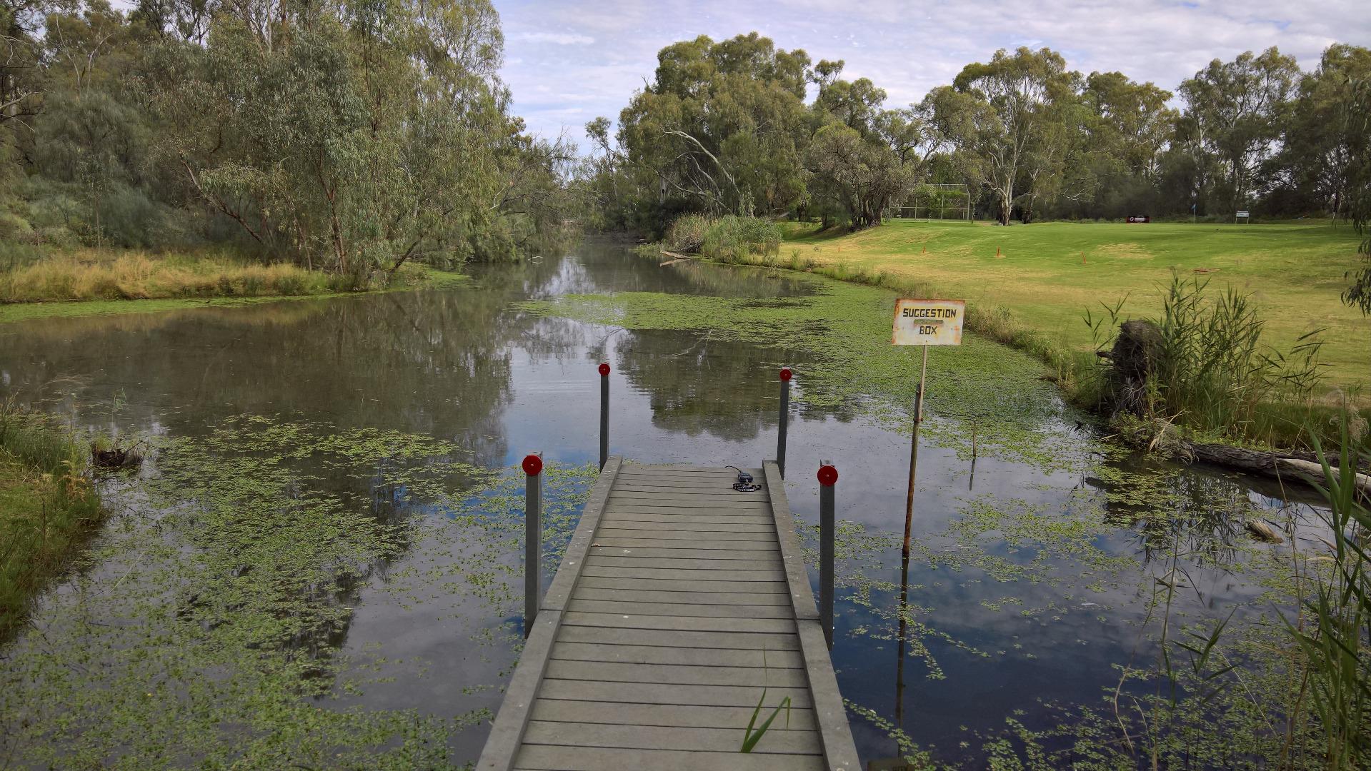
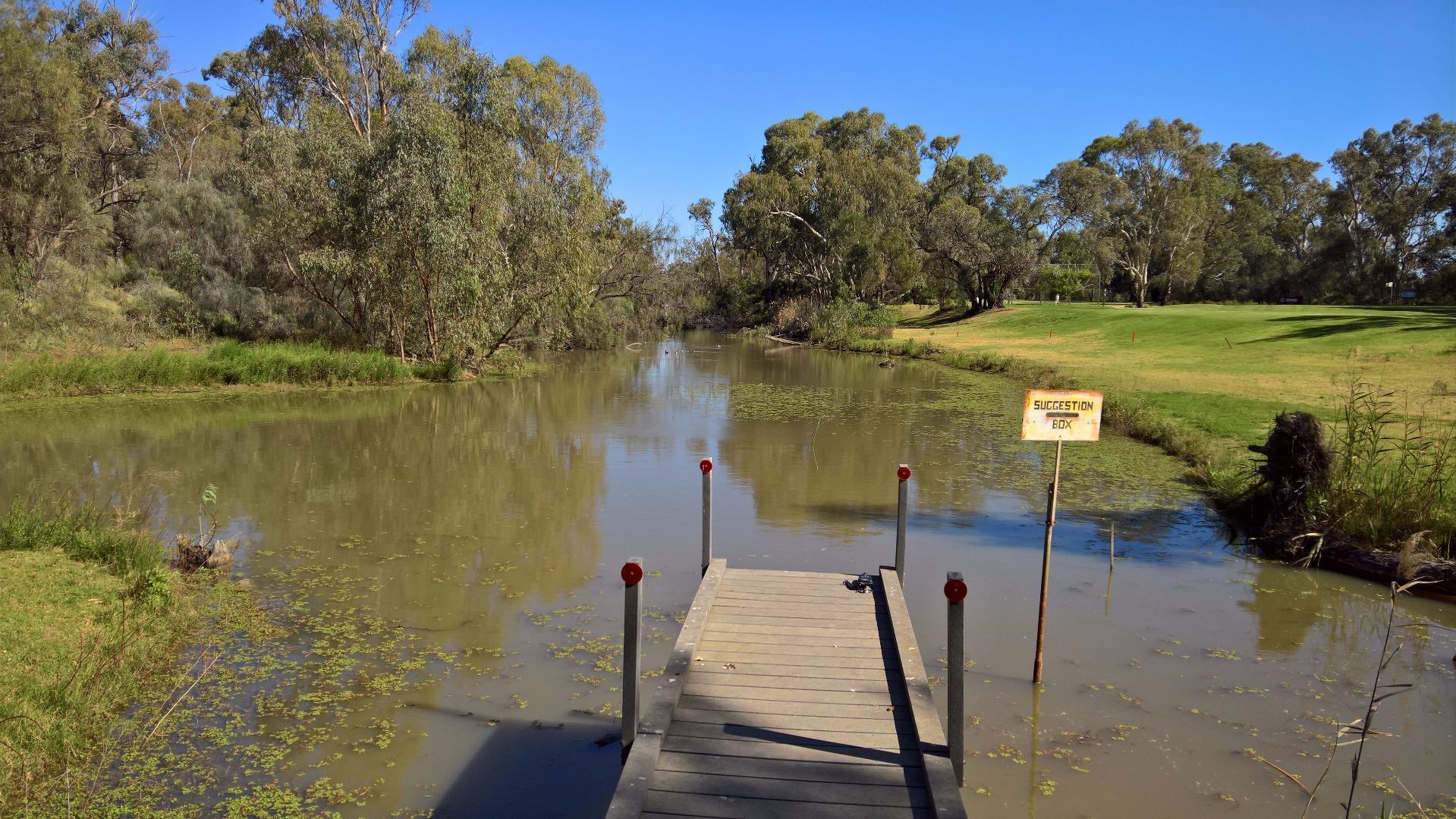
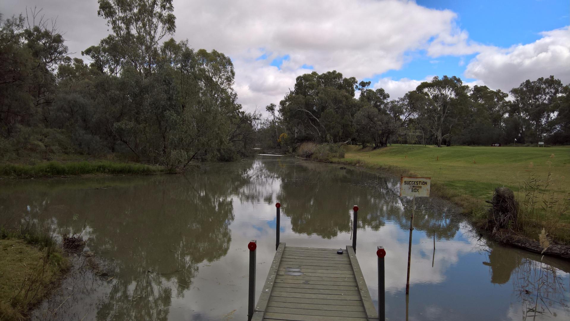
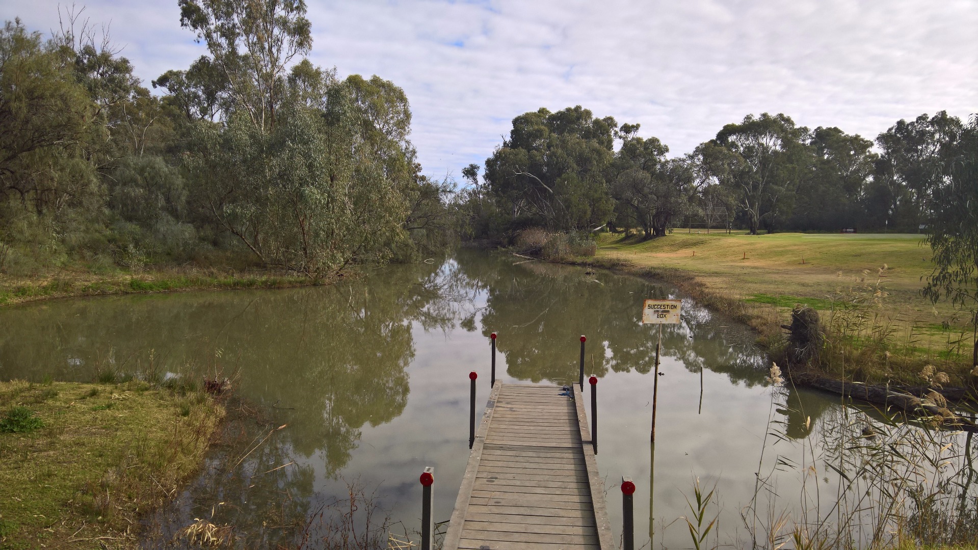
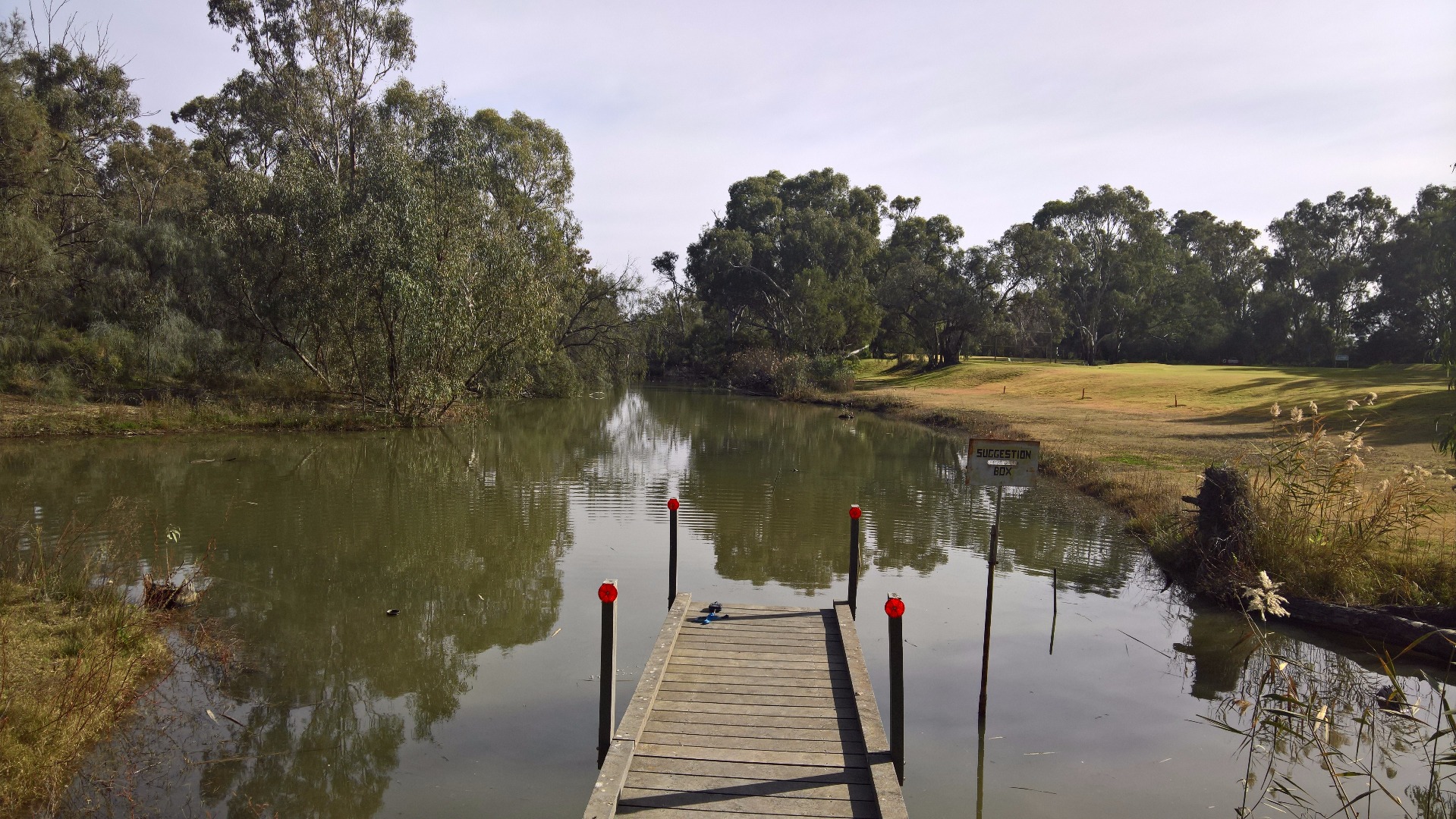
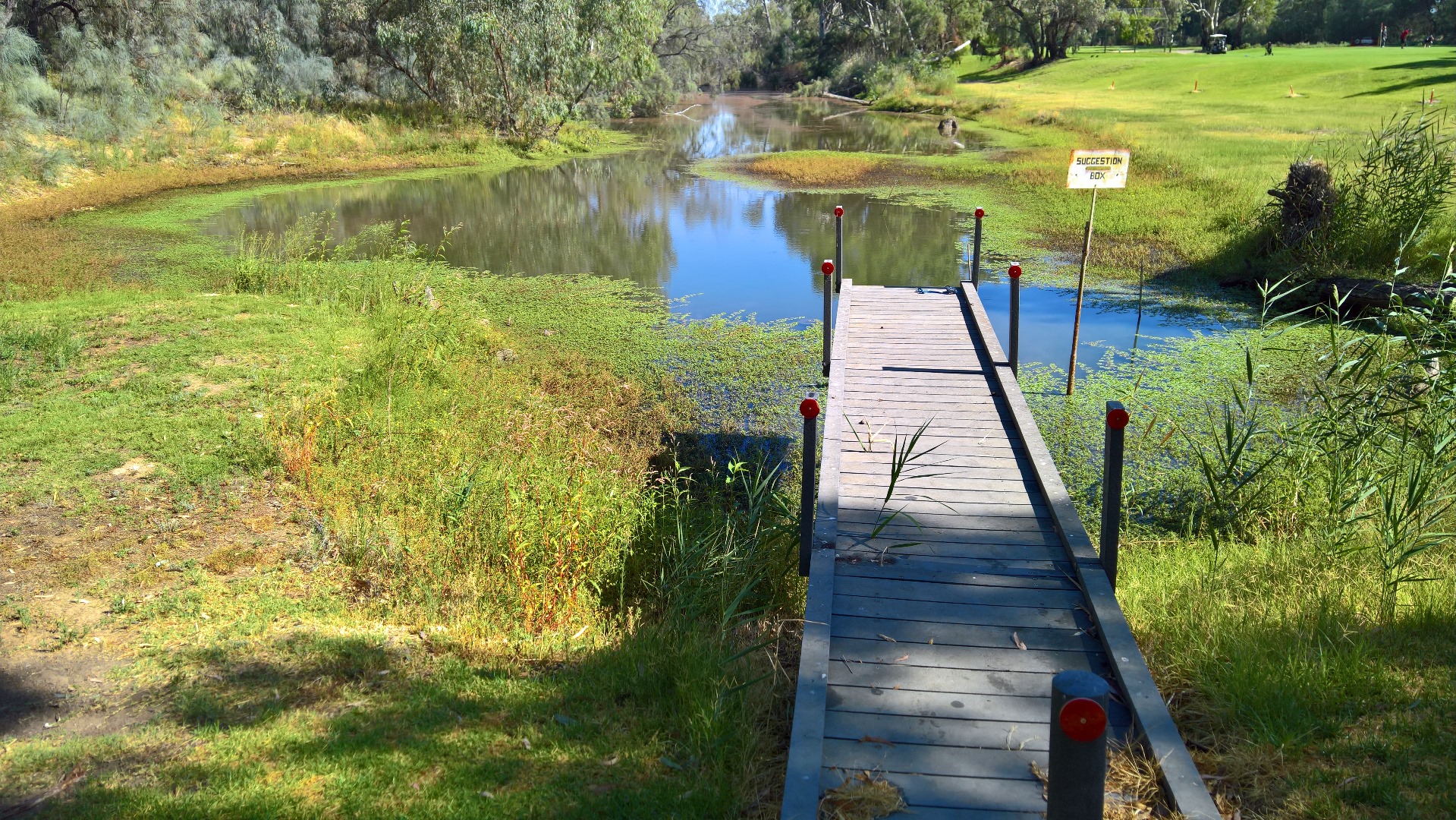
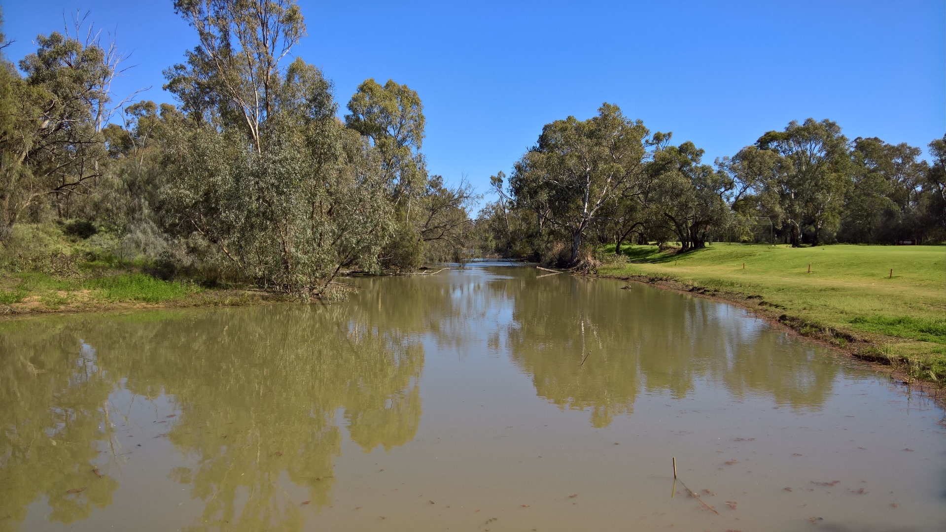
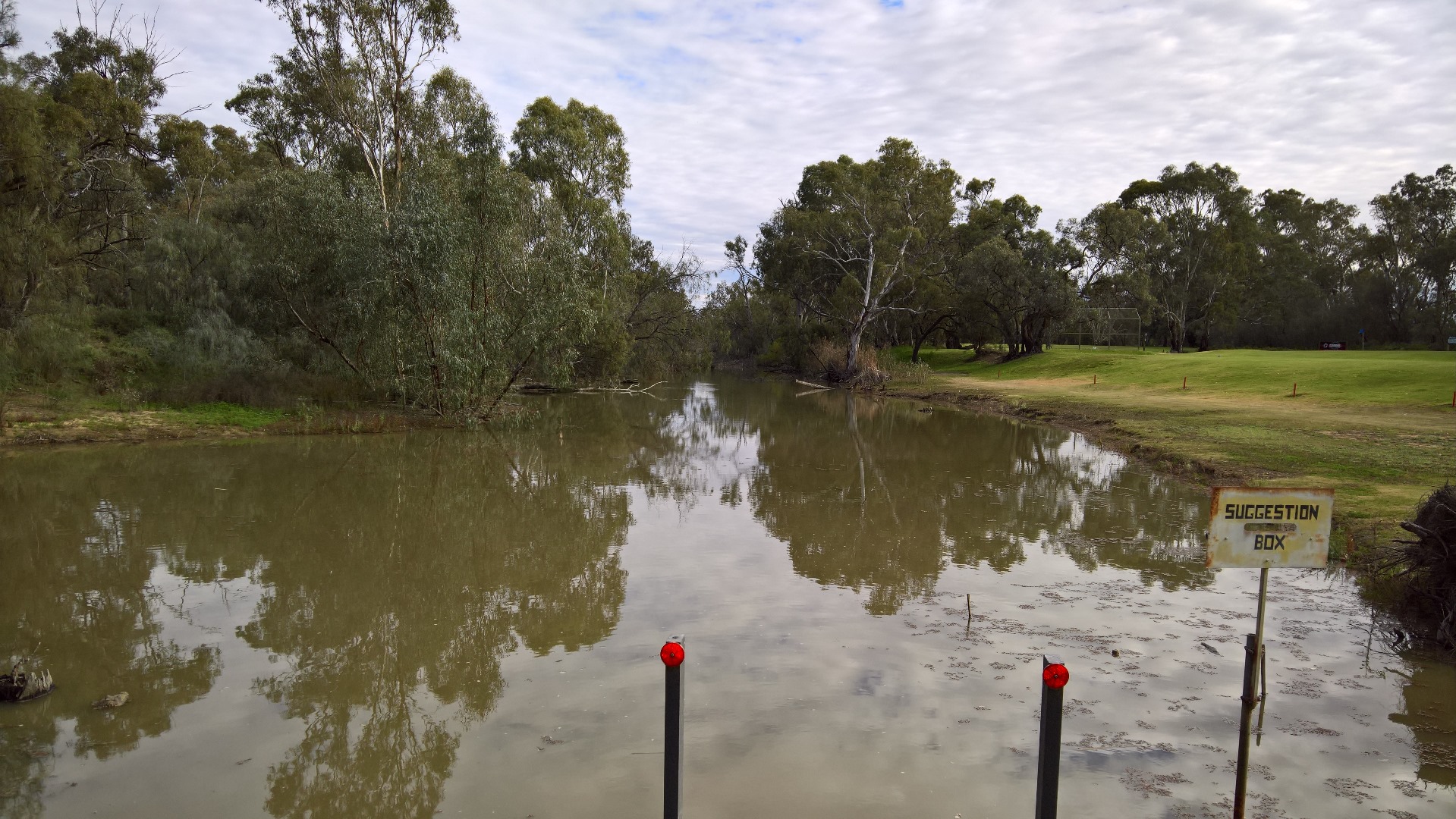
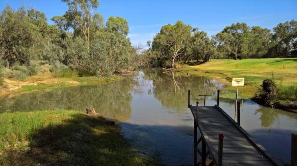
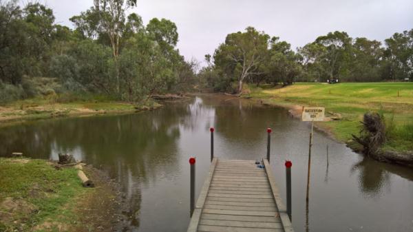
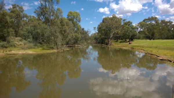
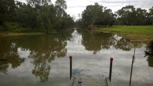
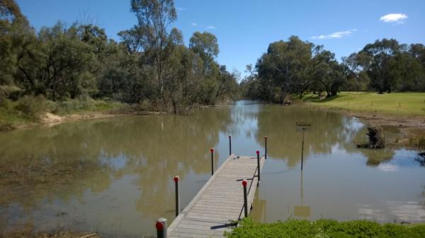
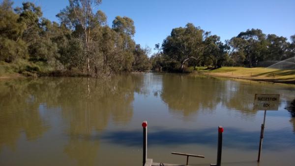
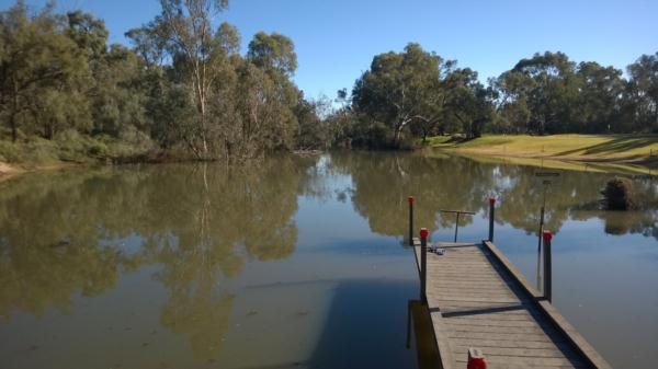
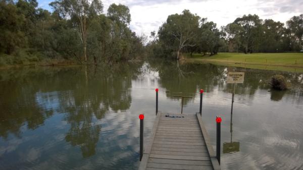
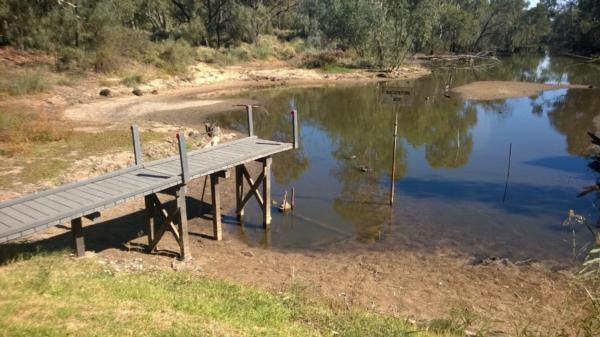
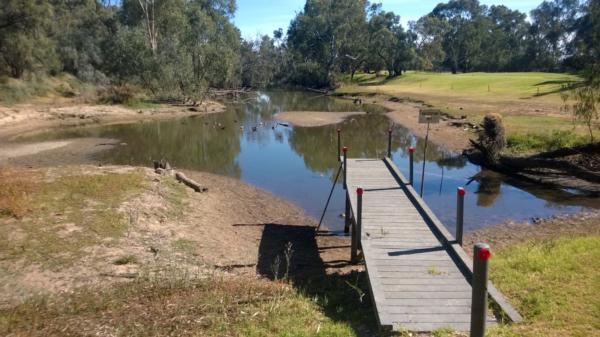
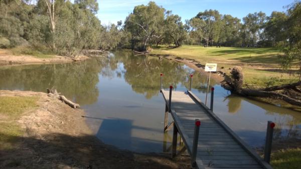
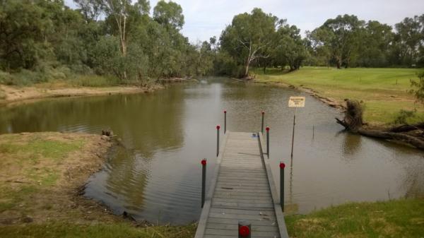
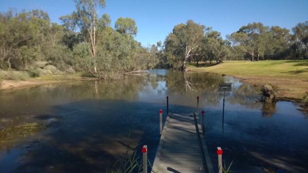
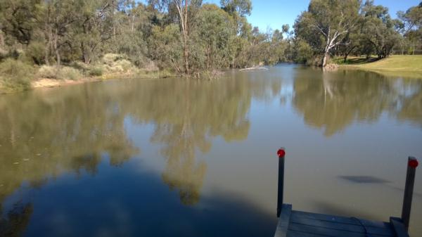
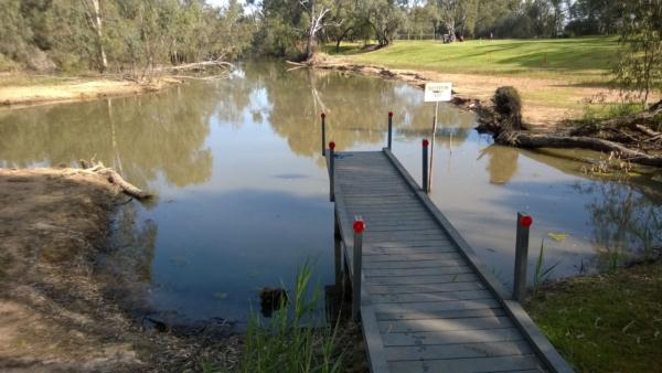
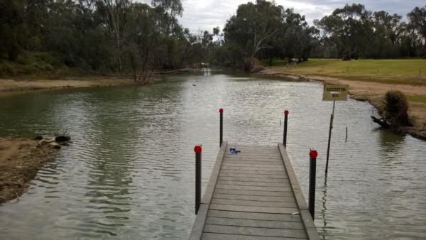
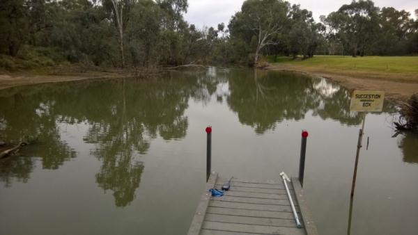
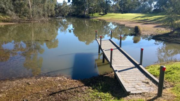
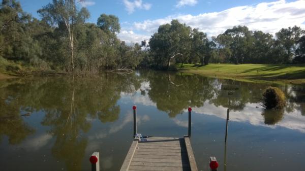
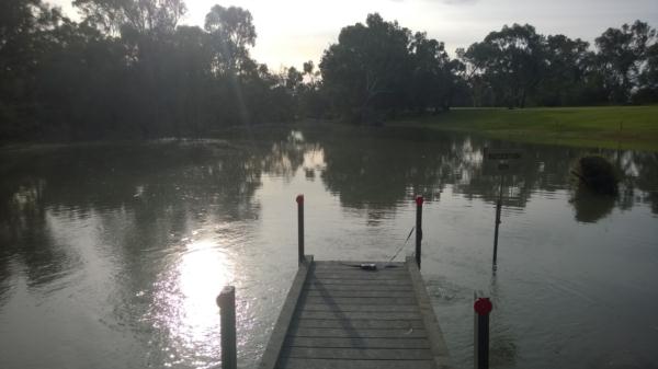
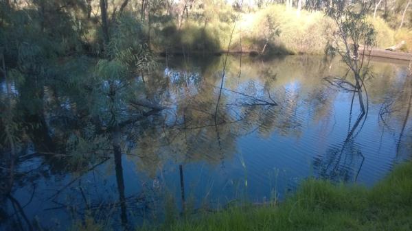
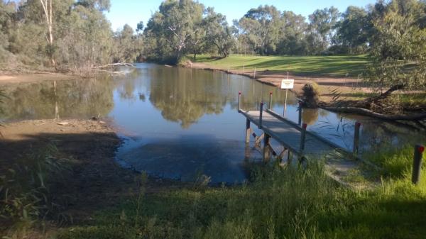
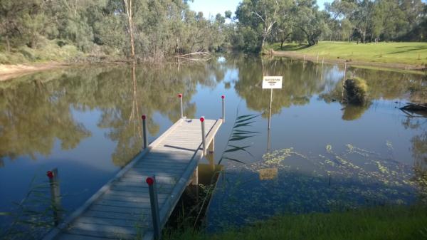
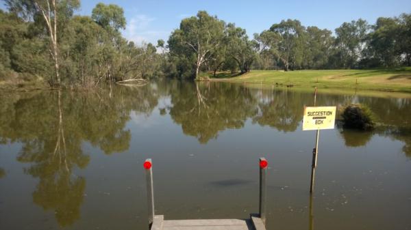
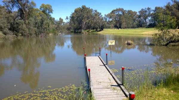
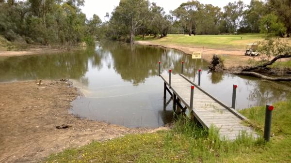
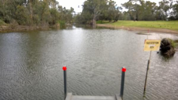
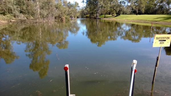
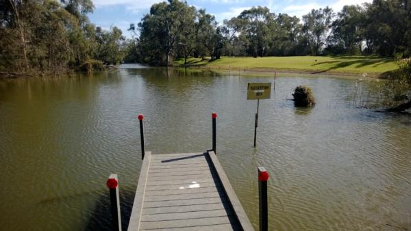
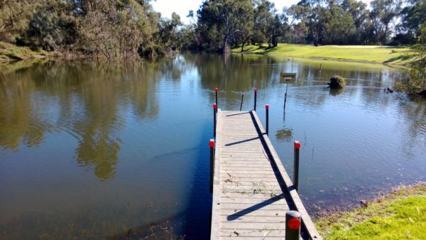
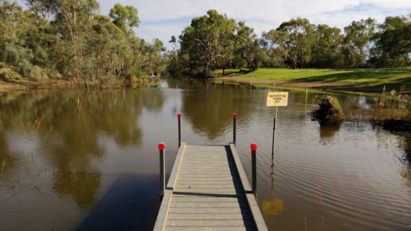
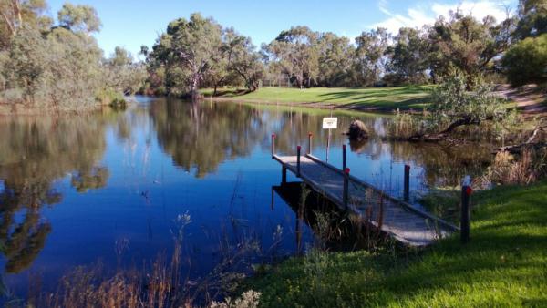
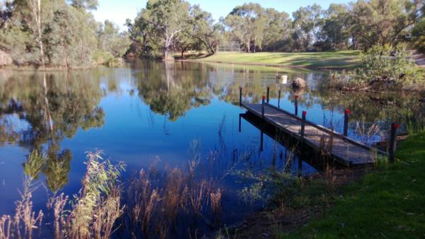
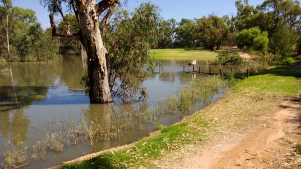
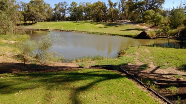
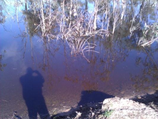
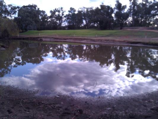
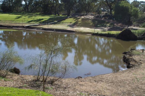
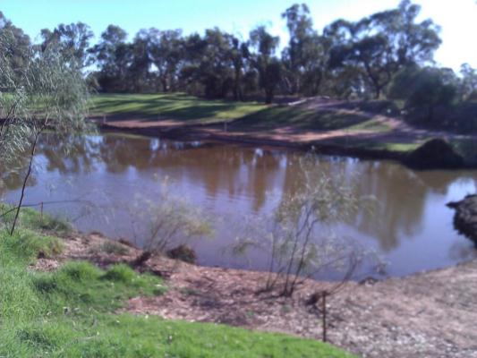
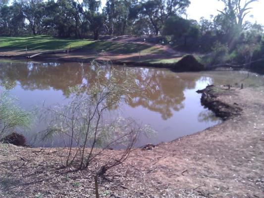
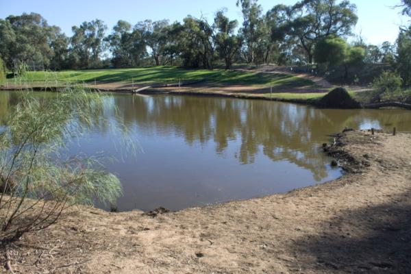
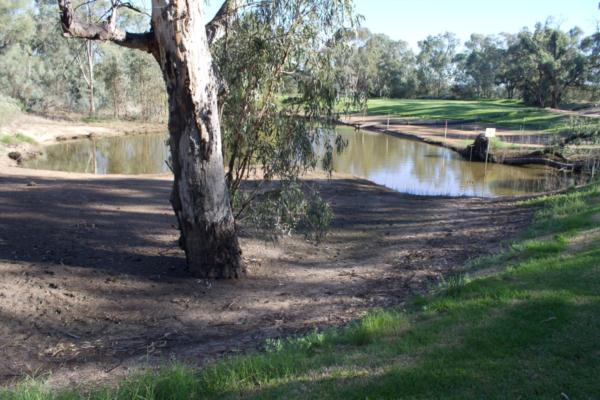
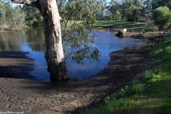
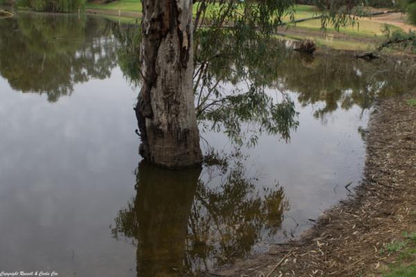
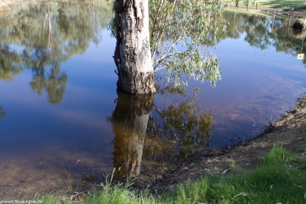
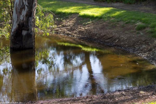
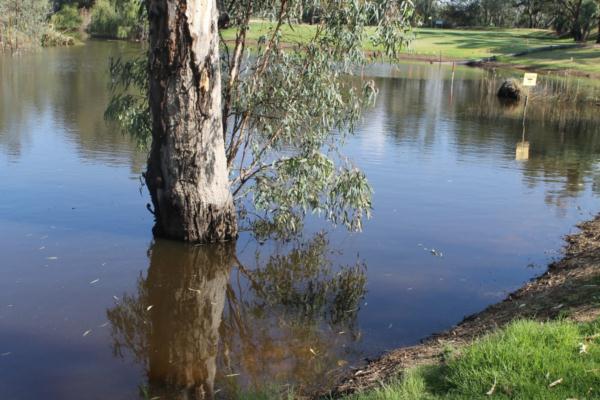
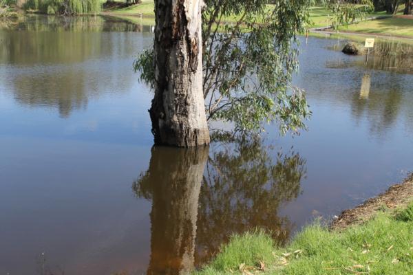
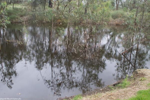
| Site name | Site C (7th Tee) Sandilong Creek |
| Status | Active |
| Water Authority | Mallee |
| Basin | Mallee |
| Catchment | Mallee |
| Sub catchment | |
| Reach | 14_10 Murray River |
| Water type | Creek |
| Council | |
| History | View all 110 site visits 15-11-2011 - 27-02-2024 |
| Monitoring organisations |
Site visits
 Loading chart
| Date | D.O mg/L | EC µS/cm | pH pH Units | rP mg/L P | Water ° C | Total Dissolved Solids mg/L | Turb NTU |
|---|---|---|---|---|---|---|---|
| 28-02-2023 | 0.09 | 278 | 6.96 | 24.4 | 180 | ||
| 30-03-2023 | 0.11 | 349 | 6.91 | 0.05 | 19.8 | 226 | |
| 28-04-2023 | 0.13 | 398 | 7.03 | 0.05 | 18.8 | 258 | |
| 30-05-2023 | 0.12 | 387 | 7.02 | 0.03 | 14.5 | 251 | |
| 30-05-2023 | 0.12 | 387 | 7.02 | 0.03 | 14.5 | 251 | |
| 30-06-2023 | 0.13 | 421 | 6.87 | 10.3 | 273 | ||
| 27-07-2023 | 0.16 | 494 | 8.28 | 13.4 | 321 | 8.3 | |
| 27-07-2023 | 0.16 | 494 | 8.28 | 13.4 | 321 | 8.3 |
Habitat
| Date | Comment | Bank Erosion Stability | Bank Vegetation | In Stream Cover | Riffles Pools Bends | Verge Vegetation | Overall |
|---|---|---|---|---|---|---|---|
| 17-03-2016 | Good 4 | Fair 6 | Fair 6 | Good 4 | Fair 6 | Fair 26 |

All content, files, data and images provided by the Waterwatch Data Portal and Gallery are subject to a Creative Commons Attribution License
Content is made available to be used in any way, and should always attribute Waterwatch and www.vic.waterwatch.org.au
.png)