Waterwatch Data Portal
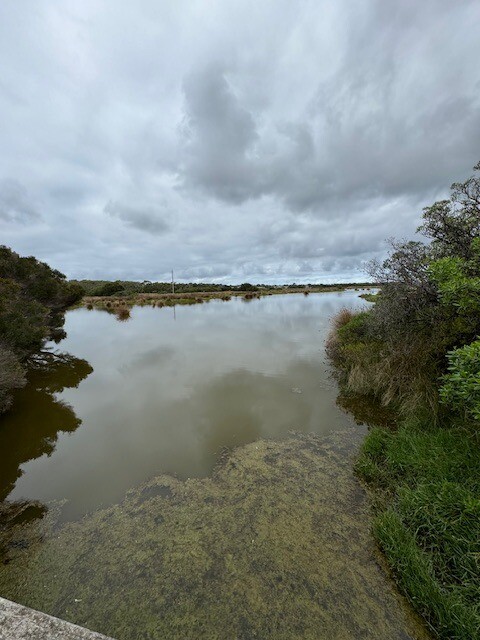
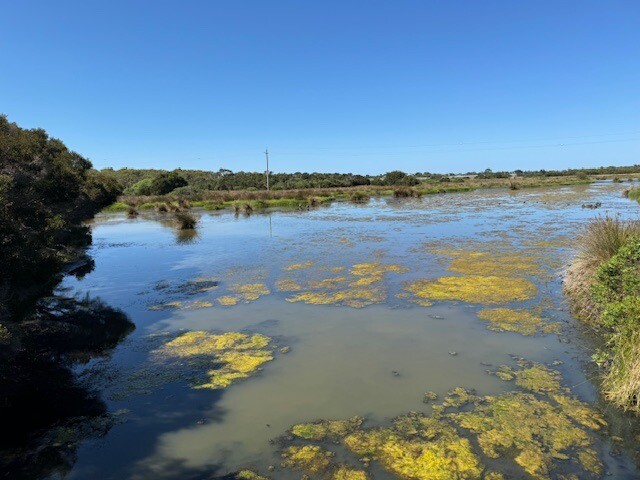
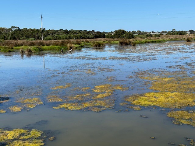
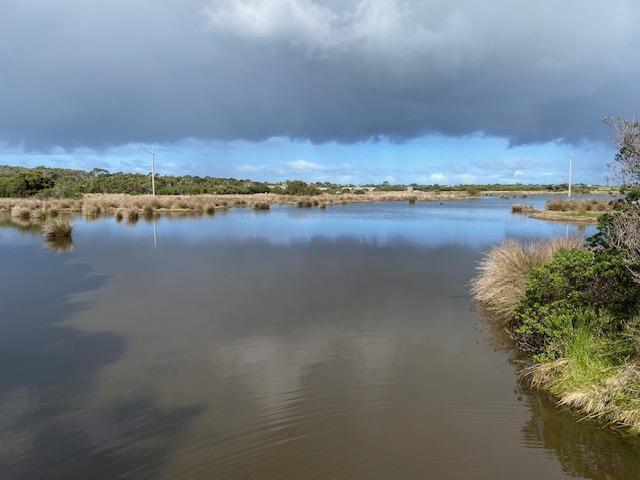
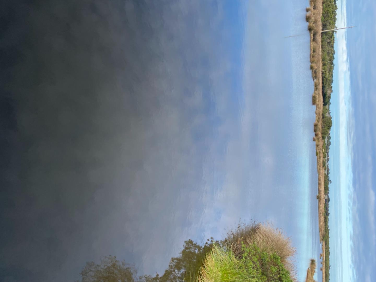
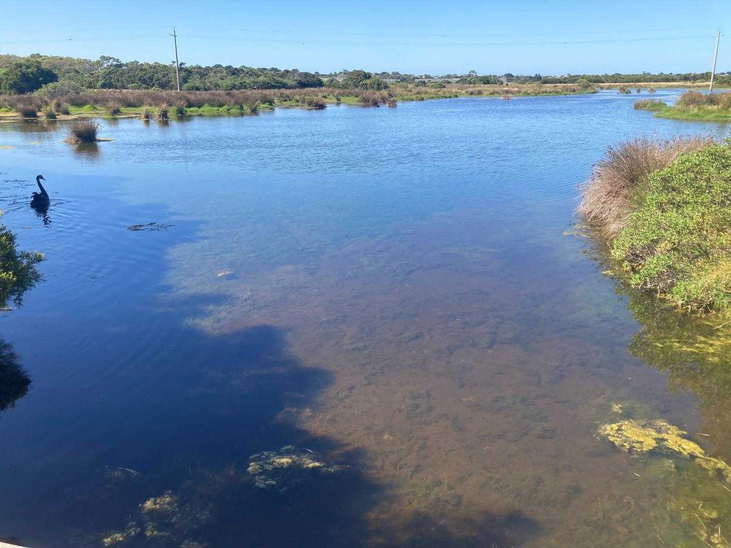
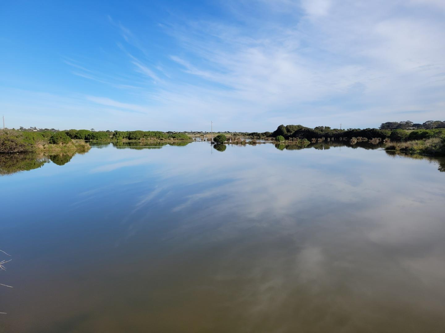
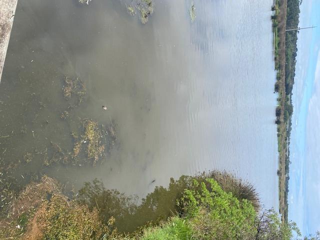
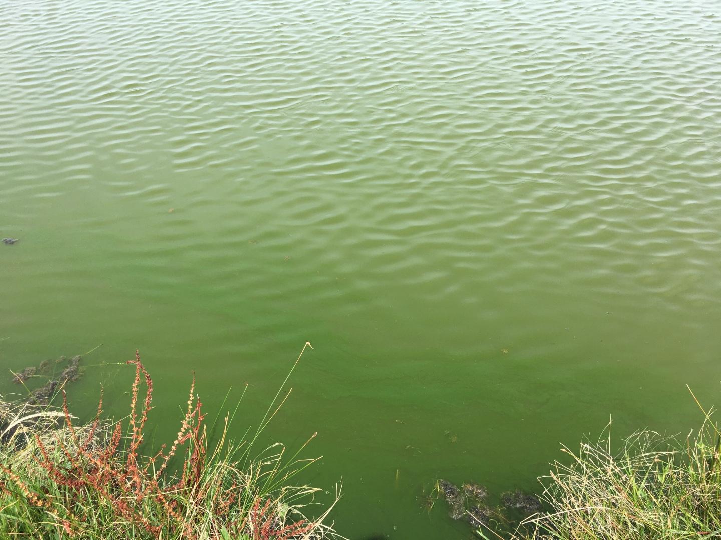
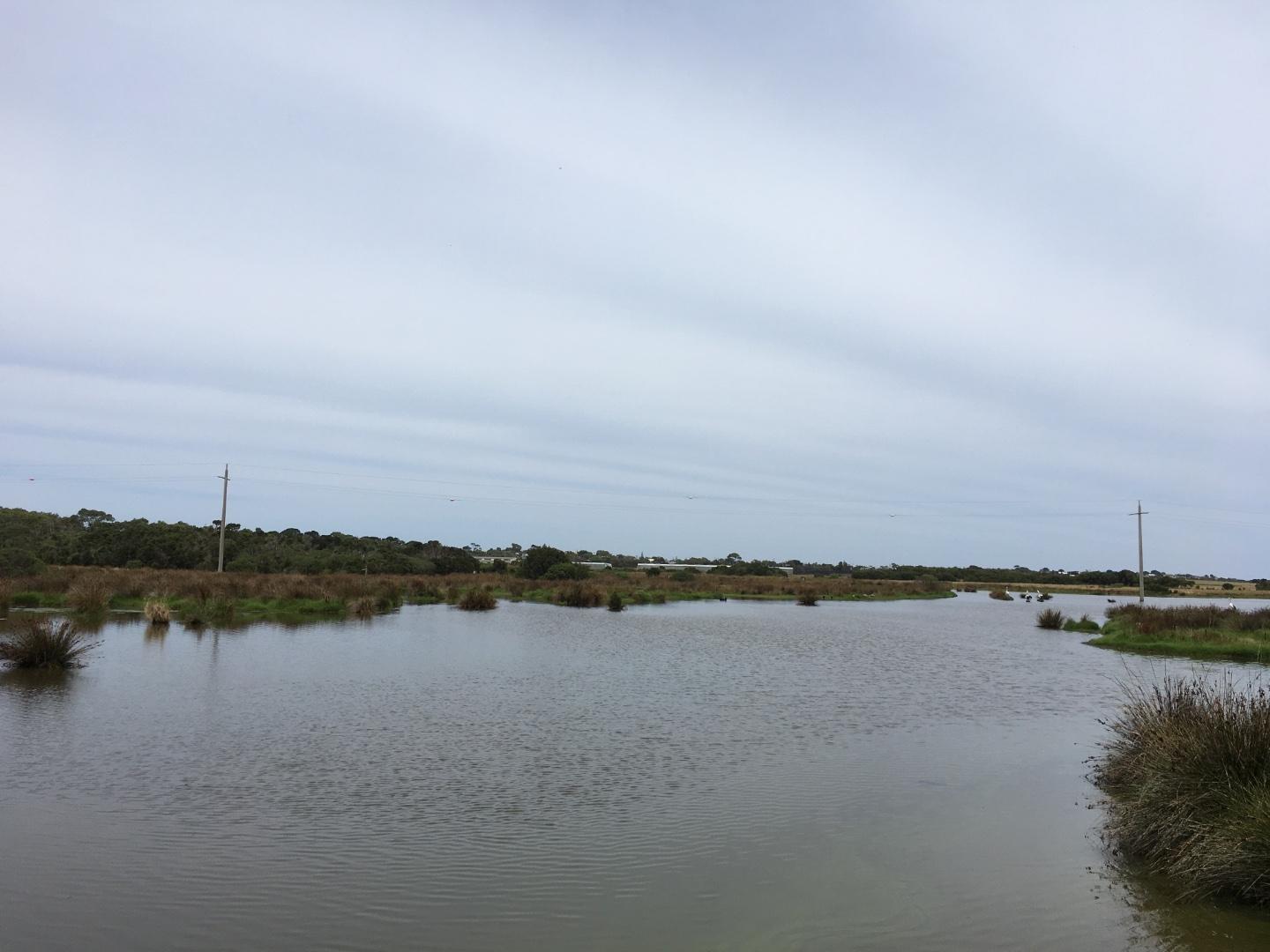
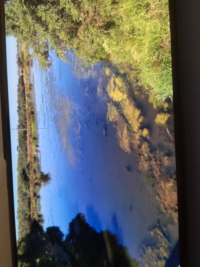
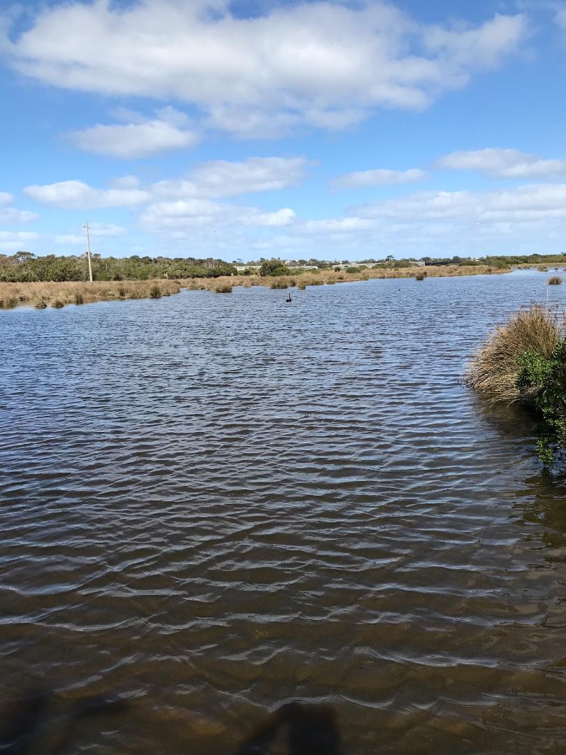
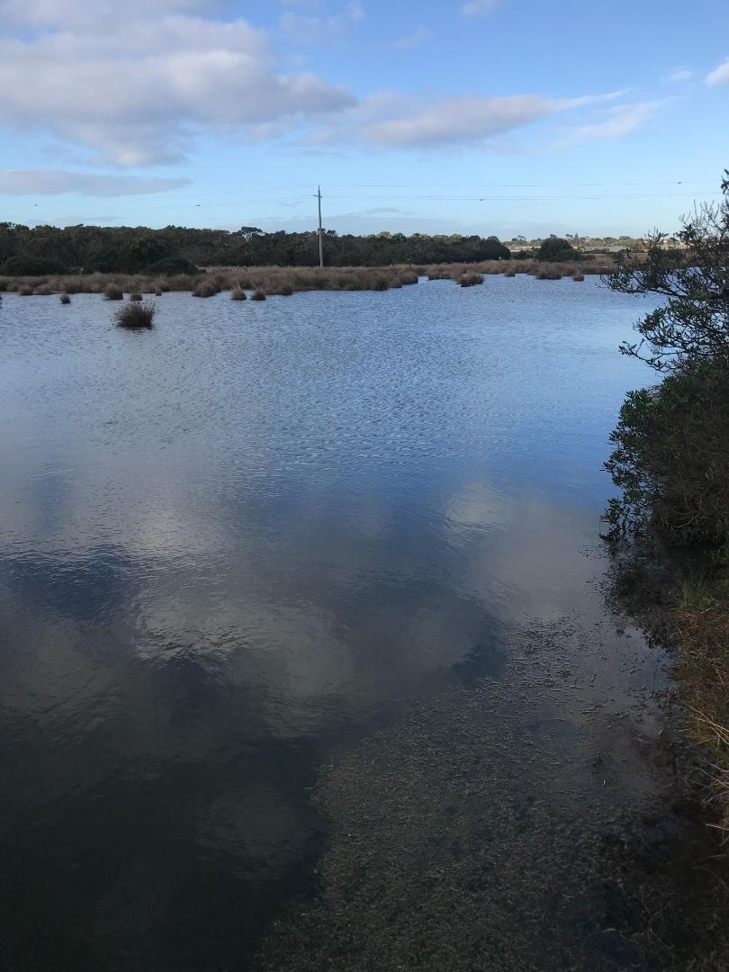
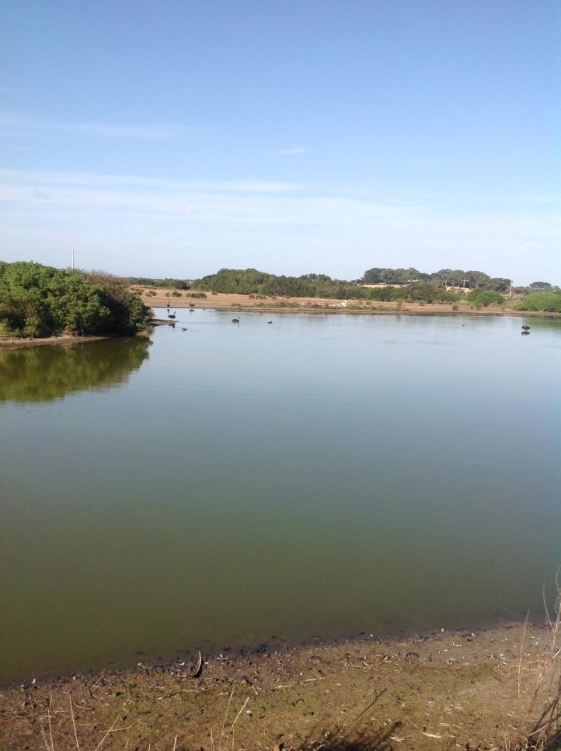
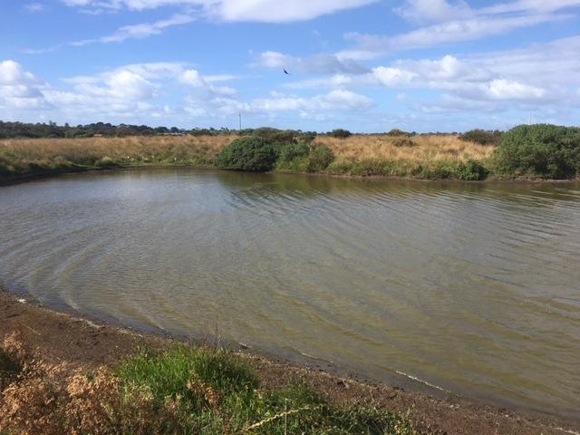
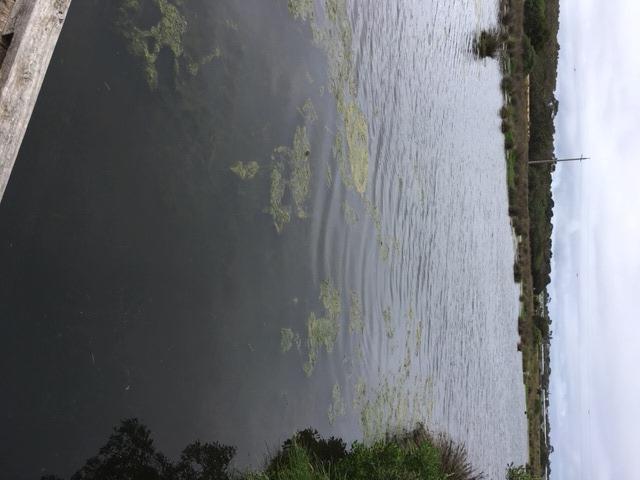
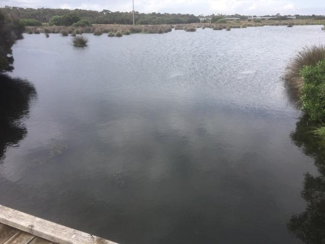
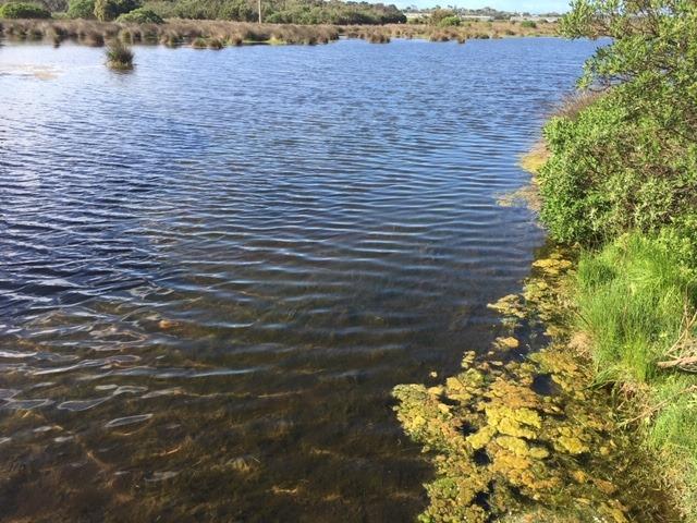
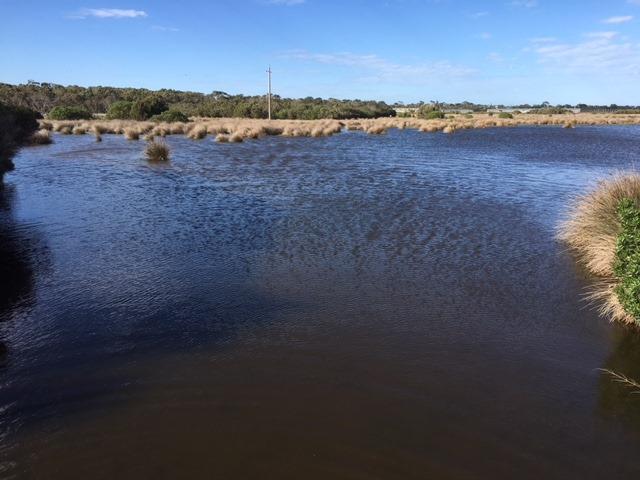
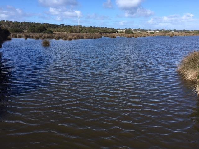
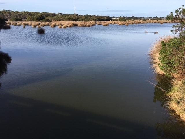
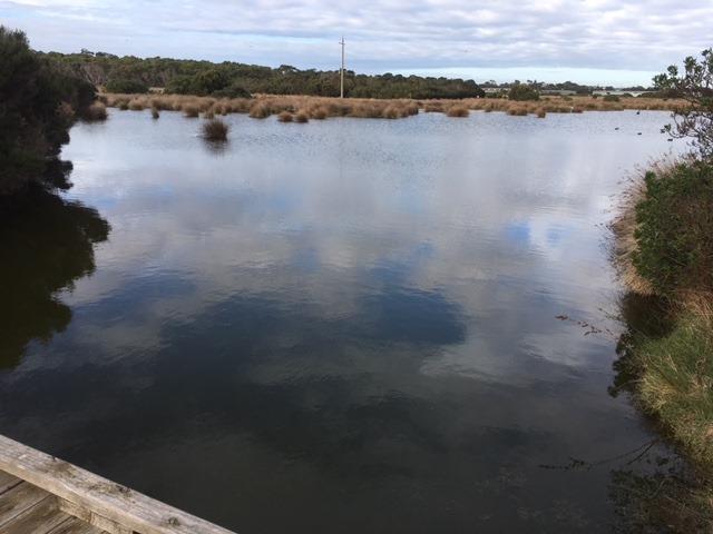
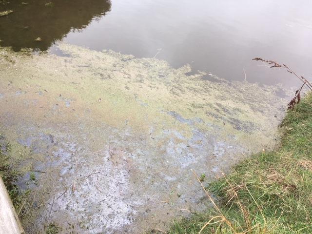
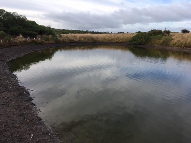
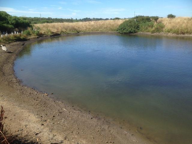
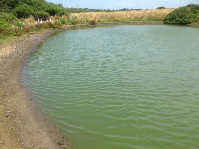
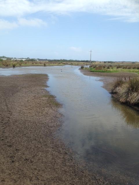
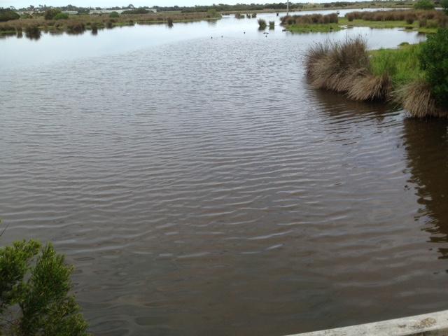
ME_EFI200 Fishers Wetland @ boardwalk next to the road, where it drains into Westernport
Site details
Overview
| Site code | ME_EFI200 |
|---|---|
| Site name | Fishers Wetland @ boardwalk next to the road, where it drains into Westernport |
| Status | Active |
| Water Authority | Melbourne |
| Basin | Bunyip River |
| Catchment | Bunyip River |
| Sub catchment | Phillip Island |
| Reach | |
| Water type | Other |
| Council | Bass Coast Shire Council |
| History | View all 88 site visits 13-10-2008 - 14-04-2024 |
| Monitoring organisations |
Site visits
 Loading chart
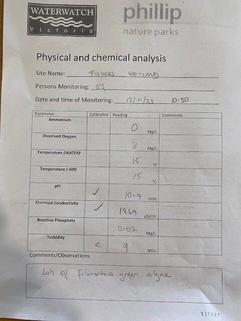
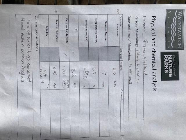
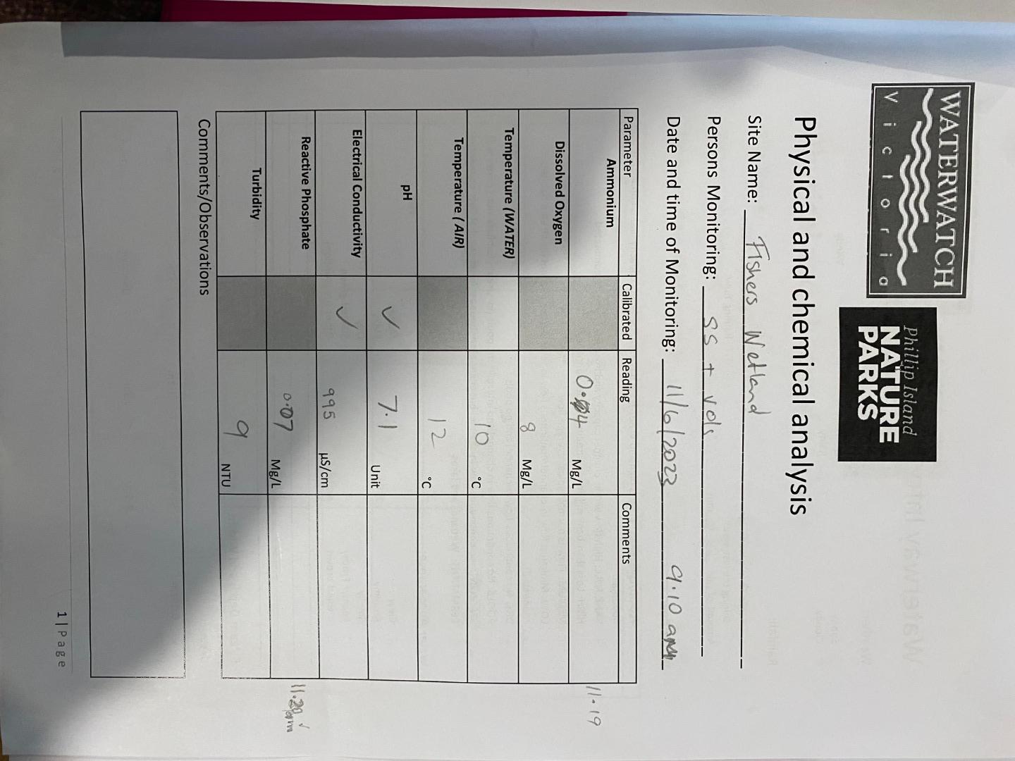
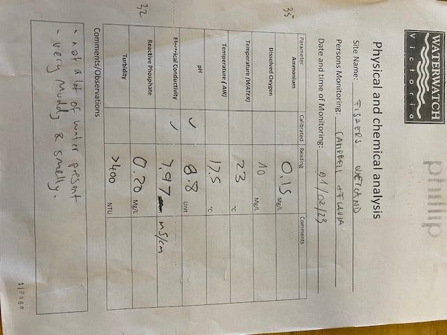
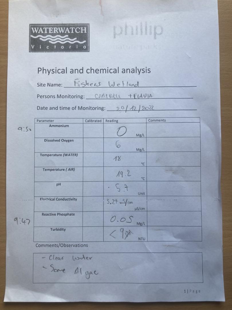
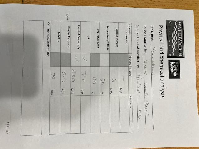
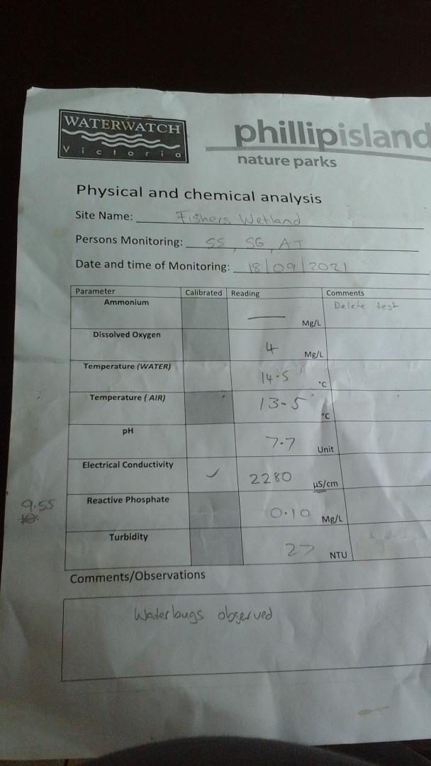
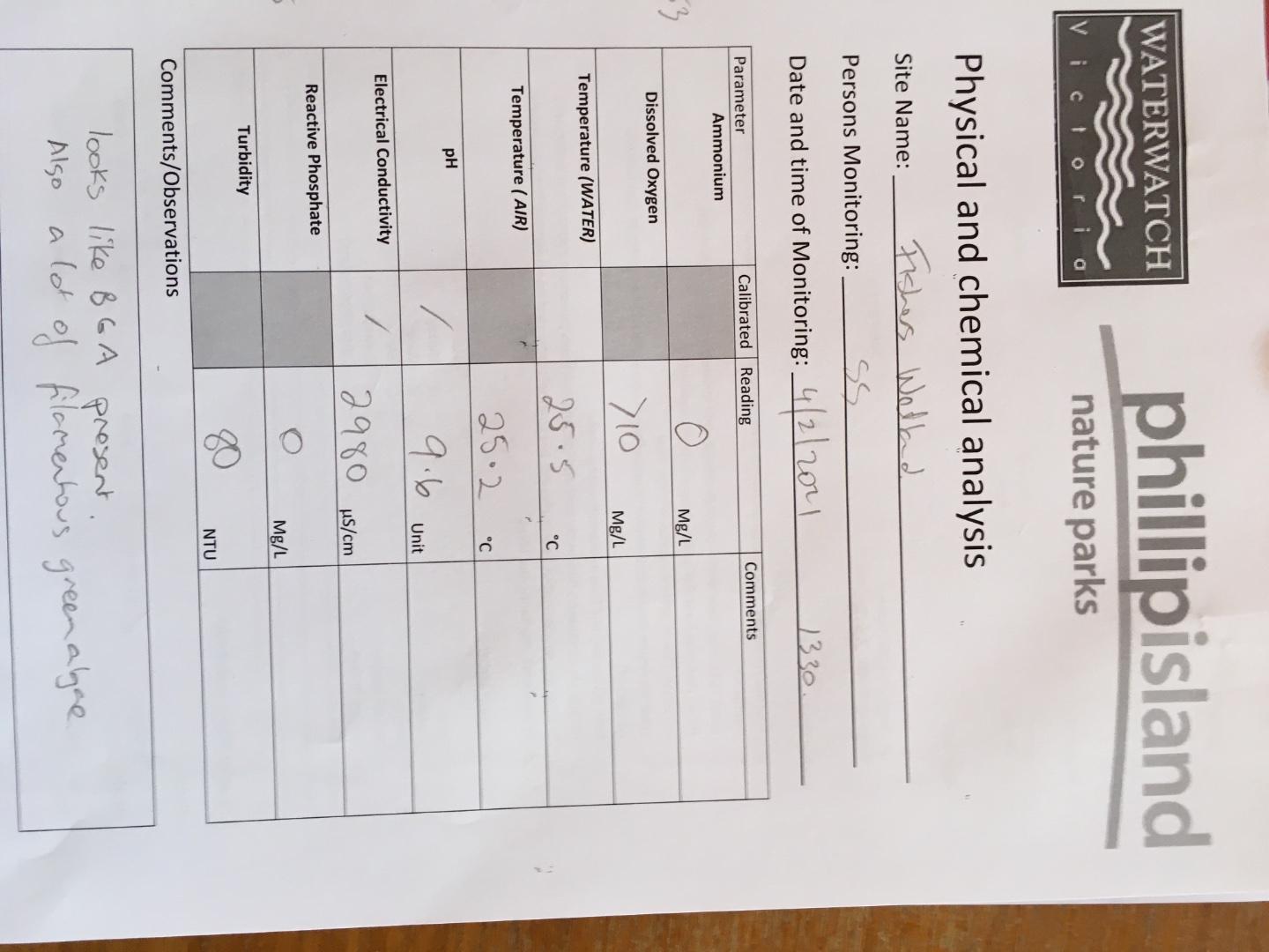
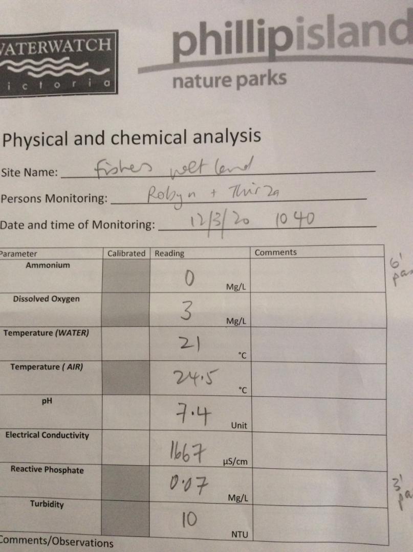
| Date | Ammon-Nit mg/L NH3-N | N mg/L NH4+ | D.O. % | D.O mg/L | EC µS/cm | FrP mg/L P | Nitrate-Nit mg/L N | pH pH Units | rP mg/L P | Air ° C | Water ° C | Turb NTU |
|---|---|---|---|---|---|---|---|---|---|---|---|---|
| 22-07-2022 | 94.46 | 10 | 2020 | 6.9 | 0.01 | 17.6 | 12.5 | 17.5 | ||||
| 13-08-2023 | 0 | 66.05 | 7 | 1701 | 8.2 | 0.05 | 13 | 12.5 | 9 | |||
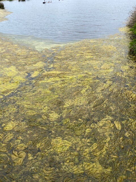
| 12-11-2023 | 0 | 79.8 | 8 | 1869 | 10.4 | 0.02 | 15 | 15 | 9 | |||
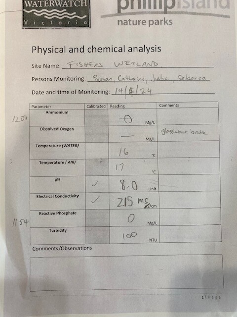
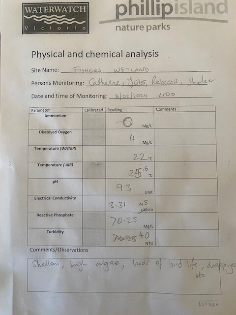
| 11-02-2024 | 0 | 46.21 | 4 | 3310 | 9.3 | 0.25 | 25.6 | 22 | 40 |
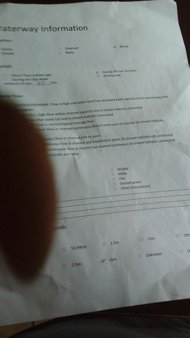
Habitat
| Date | Comment | Bank Erosion Stability | Bank Vegetation | In Stream Cover | Riffles Pools Bends | Verge Vegetation | Overall |
|---|---|---|---|---|---|---|---|
| 11-05-2009 | Migrated from old Melbourne data | VeryPoor 1 | Fair 6 | Good 8 | VeryPoor 1 | Poor 4 | Fair 20 |


All content, files, data and images provided by the Waterwatch Data Portal and Gallery are subject to a Creative Commons Attribution License
Content is made available to be used in any way, and should always attribute Waterwatch and www.vic.waterwatch.org.au
.png)