Waterwatch Data Portal
Site details
Overview
| Site code | ME_ESP100 |
|---|---|
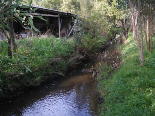
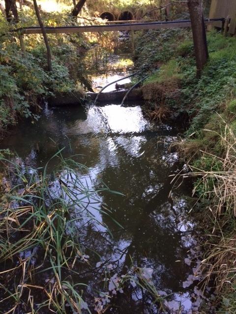
| Site name | Splitters Creek at Main Creek Rd |
| Status | Active |
| Water Authority | Melbourne |
| Basin | Bunyip River |
| Catchment | Bunyip River |
| Sub catchment | Main Creek |
| Reach | |
| Water type | Creek |
| Council | Mornington Peninsula Shire Council |
| History | View all 59 site visits 22-01-2008 - 04-05-2023 |
| Monitoring organisations |
 Loading chart
Habitat
| Date | Comment | Bank Erosion Stability | Bank Vegetation | In Stream Cover | Riffles Pools Bends | Verge Vegetation | Overall |
|---|---|---|---|---|---|---|---|
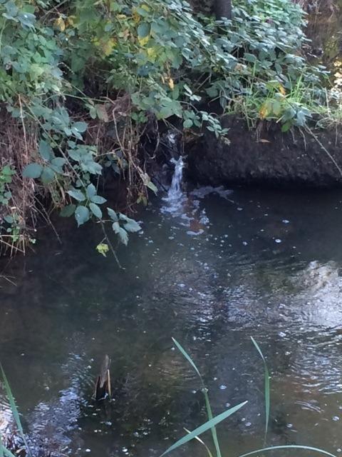
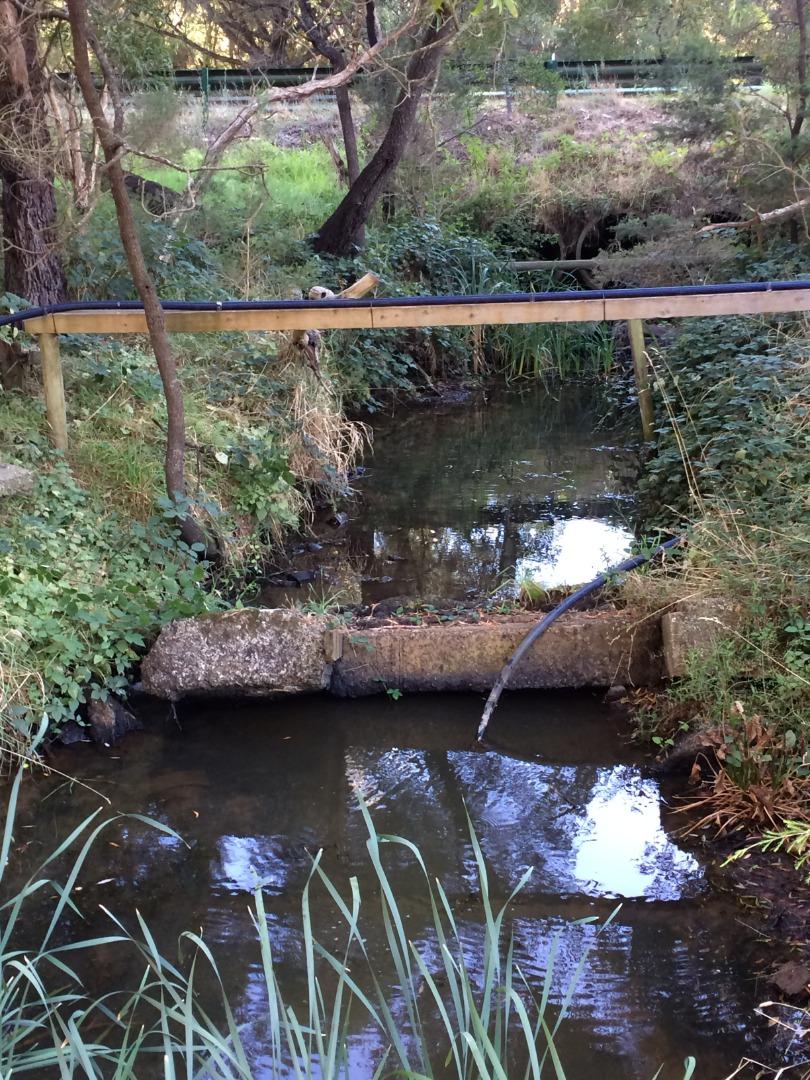
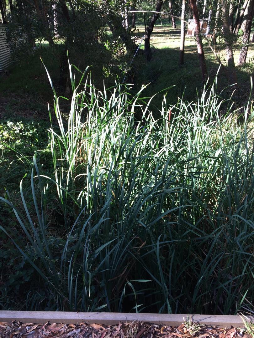
| 04-05-2023 | <p>Quite weedy on both sides</p> | Good 4 | Fair 6 | Fair 6 | Good 4 | Fair 6 | 26 |
| 25-04-2023 | <p>Sream bank vegetation recovering from flood damage</p> | Good 4 | Poor 4 | Fair 6 | N/A | Poor 4 | 18 |
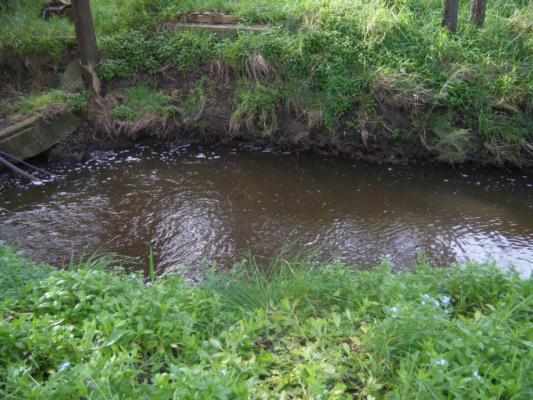
| 29-11-2022 | <p>One side of this site is a mix of weeds and indigenous flora. The other side, recently weeded, has been planted with indigenous vegetation. Some of the instream cover and verge vegetation has been compromised by recent flooding but there is reason to believe that these conditions will improve with time. </p> | Good 4 | Fair 6 | Fair 6 | Good 4 | Fair 6 | 26 |
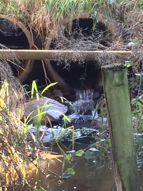
| 12-09-2022 | <p>This is a new test area approx 1800 mtr downstream from noted test location due to limited access at listed test point per Richard Akers. Stream bed is in an enclosed valley with limited inflow from other sources. Limited to small scale rural properties. Some clearing of invasive veg has been undertaken and native species planted. Bank has not been disturbed - Invasives on bank have been delimbed and cut back leaving rootbed intact to minimize erosion thru removal.</p> <p> </p> | Fair 3 | Fair 6 | Fair 6 | Fair 3 | Fair 6 | 24 |
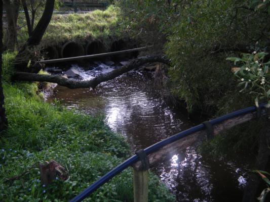
| 29-04-2021 | <p>Blackberry cover on banks</p> <p>Non-indigenous and indigenous plants instream</p> | Good 4 | Fair 6 | Good 8 | Good 4 | Fair 6 | 28 |
| 11-04-2019 | <p>Habitat is relatively unchanged compared with past occasions.</p> | Good 4 | Fair 6 | Fair 6 | Good 4 | Fair 6 | 26 |
| 08-03-2018 | Good 4 | Fair 6 | Fair 6 | Fair 3 | Poor 4 | 23 | |
| 29-10-2017 | Good 4 | Fair 6 | Fair 6 | Fair 3 | Poor 4 | 23 | |
| 29-03-2017 | <p>Stream side vegetation shows signs(flattening) due to recent heavy rain on 21.3.17 when we had in excess of 60 mm however the stream level today was lower than it was at our Spring survey.</p> | Good 4 | Fair 6 | Good 8 | Good 4 | Fair 6 | 28 |
| 08-11-2016 | <p>The landowner has agreed to participate in a funded Landcare stream-side biolink revegetation project which is to start in the new year.</p> | Fair 3 | Fair 6 | Fair 6 | Fair 3 | Poor 4 | 22 |
| 08-05-2014 | Good 4 | Poor 4 | Fair 6 | Good 4 | Fair 6 | Fair 24 | |
| 30-10-2013 | Fair 3 | Fair 6 | Fair 6 | Fair 3 | Poor 4 | Fair 22 | |
| 13-04-2012 | N/A 0 | ||||||
| 22-01-2008 | Migrated from old Melbourne data | Fair 3 | Good 8 | Poor 4 | Poor 2 | Good 8 | Fair 25 |


All content, files, data and images provided by the Waterwatch Data Portal and Gallery are subject to a Creative Commons Attribution License
Content is made available to be used in any way, and should always attribute Waterwatch and www.vic.waterwatch.org.au
.png)