Waterwatch Data Portal
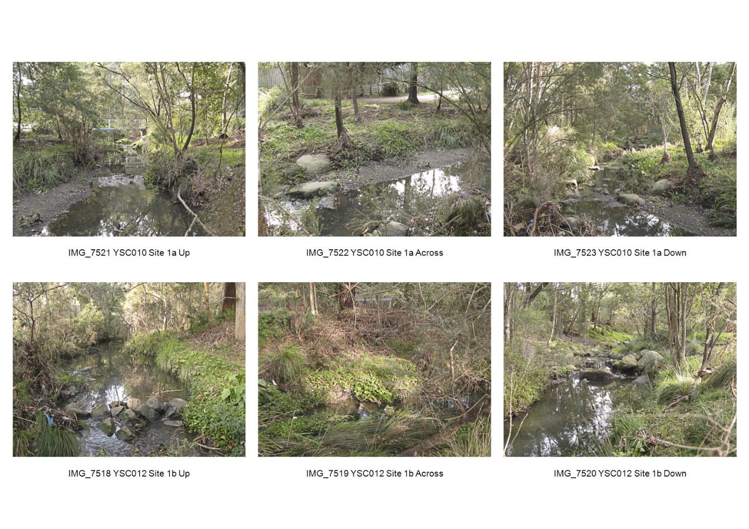
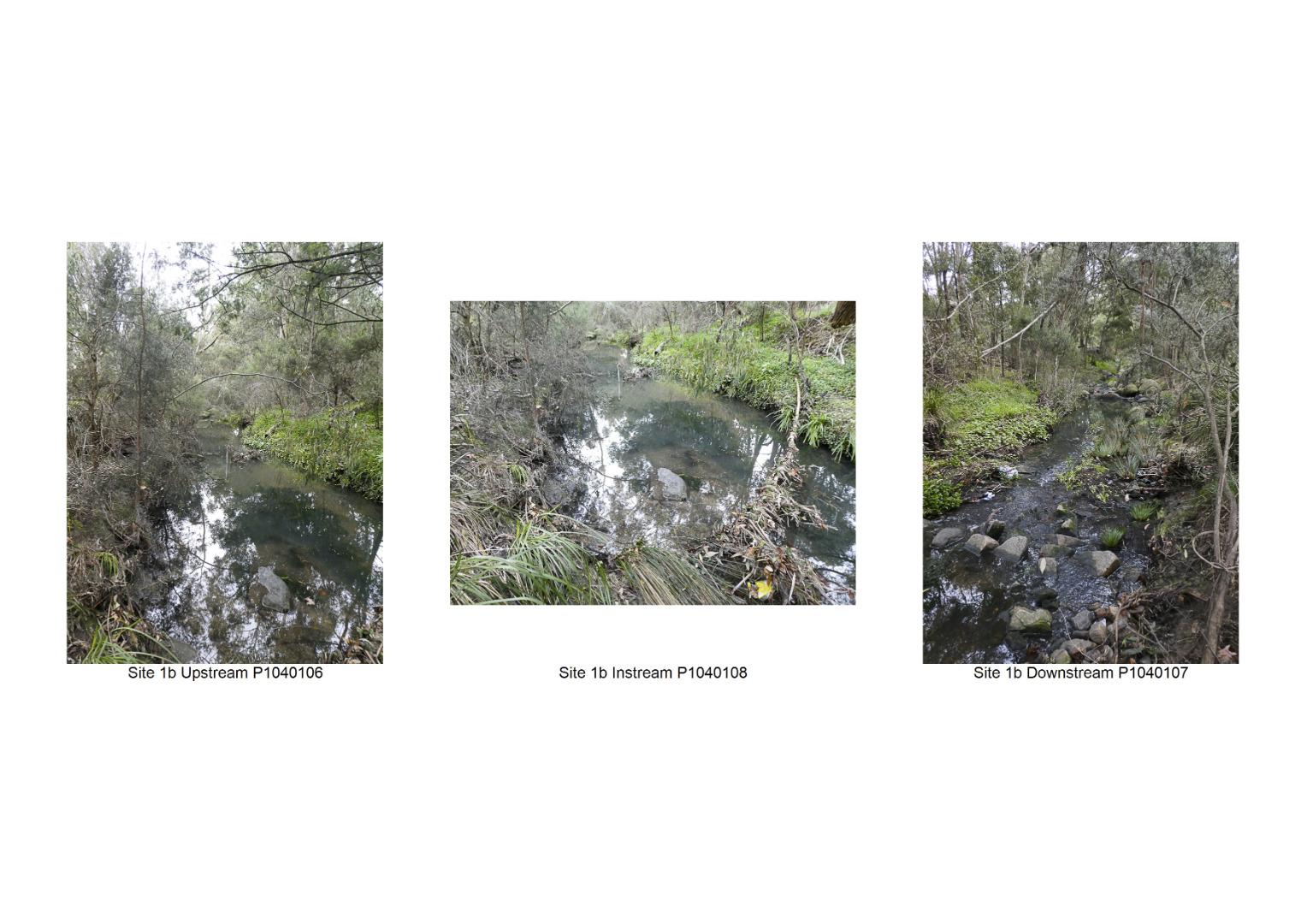
ME_YSC012 Glen Waverley Main Drain. Behind 5/6 Crosby Drive, Glen Waverley
Site details
Overview
| Site code | ME_YSC012 |
|---|---|
| Site name | Glen Waverley Main Drain. Behind 5/6 Crosby Drive, Glen Waverley |
| Status | Active |
| Water Authority | Melbourne |
| Basin | Yarra River |
| Catchment | Yarra River |
| Sub catchment | Gardiners Creek |
| Reach | |
| Water type | Creek |
| Council | Monash City Council |
| History | View all 124 site visits 21-03-2001 - 24-03-2024 |
| Monitoring organisations |
Site visits
 Loading chart
| Date | Ammon-Nit mg/L NH3-N | N mg/L NH4+ | D.O. % | D.O mg/L | EC µS/cm | FrP mg/L P | Nitrate-Nit mg/L N | pH pH Units | rP mg/L P | Air ° C | Water ° C | Turb FTU | Turb NTU |
|---|---|---|---|---|---|---|---|---|---|---|---|---|---|
| 24-04-2022 | 0.01 | 65.75 | 7 | 270 | 7 | 0.075 | 12 | 12.5 | 5 | ||||
| 22-05-2022 | 0 | 280 | 6.9 | 10.5 | 11 | 6 | |||||||
| 19-06-2022 | 0 | 62.97 | 7.1 | 360 | 7.2 | 0.068 | 10 | 10 | 10 | ||||
| 24-07-2022 | 0 | 160 | 7.1 | 14 | 12.5 | 14 | |||||||
| 21-08-2022 | 88.69 | 10 | 360 | 7.4 | 0.052 | 9.5 | 10 | 15 | |||||
| 19-02-2023 | 0 | 82.96 | 8.1 | 100 | 0.02 | 18.5 | 16.5 | 7 | |||||
| 19-03-2023 | 0 | 90 | 16.5 | 16 | 5 | ||||||||
| 20-08-2023 | 0 | 80.81 | 8.8 | 340 | 13 | 11.5 | 39 | ||||||
| 29-10-2023 | 0 | 410 | 7.1 | 15.5 | 18 | 13 | |||||||
| 26-11-2023 | 0 | 98.32 | 9.5 | 90 | 7.1 | 0.02 | 16.5 | 17 | 19 | ||||
| 21-01-2024 | 0 | 470 | 7.3 | 18 | 17 | 12 | |||||||
| 18-02-2024 | 0 | 51.8 | 5 | 420 | 6.7 | 0.166 | 18.5 | 17 | 13 |
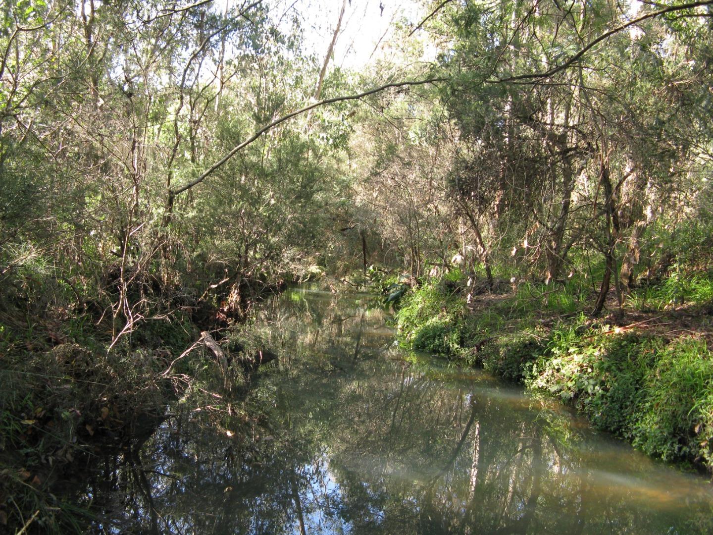
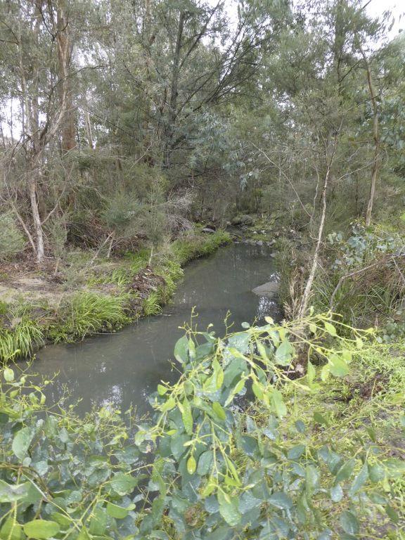
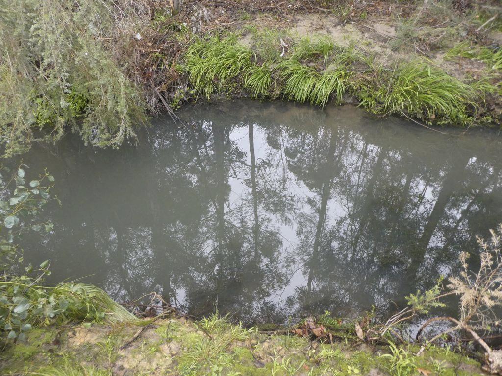
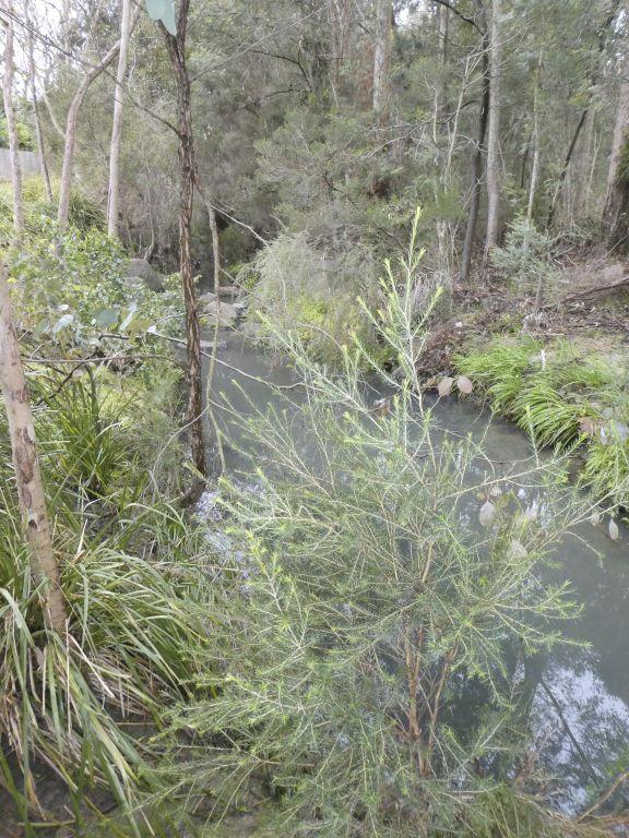
Habitat
| Date | Comment | Bank Erosion Stability | Bank Vegetation | In Stream Cover | Riffles Pools Bends | Verge Vegetation | Overall |
|---|---|---|---|---|---|---|---|
| 18-06-2023 | <p>Bushland revegetation continues to improve the banks and verge.</p> | Fair 3 | Fair 6 | Fair 6 | Fair 3 | Good 8 | 26 |
| 19-06-2022 | Fair 3 | Good 8 | Fair 6 | Fair 3 | Fair 6 | 26 | |
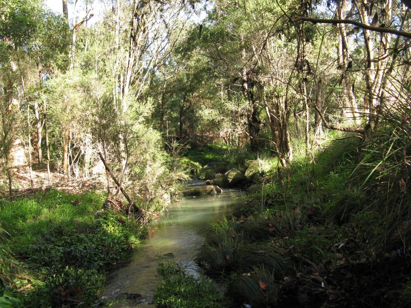
| 27-06-2021 | <p>Overstorey predominantly native (revegetated) provides extensive cover and shading across channel but understorey is very weedy. Frequent large clumps of instream vegetation. Sand and gravel substrate with introduced large boulders creating riffles and controlling erosion. Banks largely protected but some erosion on northern bank. High flow event within last week increased depth to ~0.5m which has flushed leaf litter from low banks.</p> | Good 4 | Fair 6 | Good 8 | Fair 3 | Fair 6 | 27 |
| 23-06-2019 | <p>In stream vegetation patchy but reasonably extensive. Active erosion and deposition occurring along the site area. Verge and bank vegetation still extensive and of reasonably good quality. </p> | Good 4 | Fair 6 | Good 8 | Good 4 | Fair 6 | 28 |
| 24-06-2018 | <p>Still rather weedy banks, but native verge vegetation maturing and now provides good cover. In stream vegetation improved. Still some spot erosion evident along banks, but not severe.</p> | Fair 3 | Fair 6 | Fair 6 | Good 4 | Good 8 | 27 |
| 23-07-2017 | <p>23 July 2017: Erosion is less active, bare sand beds are still present, native verge vegetation is improving but the banks are weedy.</p> | Fair 3 | Fair 6 | Fair 6 | Fair 3 | Fair 6 | 24 |
| 19-06-2016 | Erosion still very active - sand banks in bed smothering in-stream vegetation which is very patchy. Very weedy verges. | Poor 2 | Fair 6 | Poor 4 | Good 4 | Fair 6 | Fair 22 |
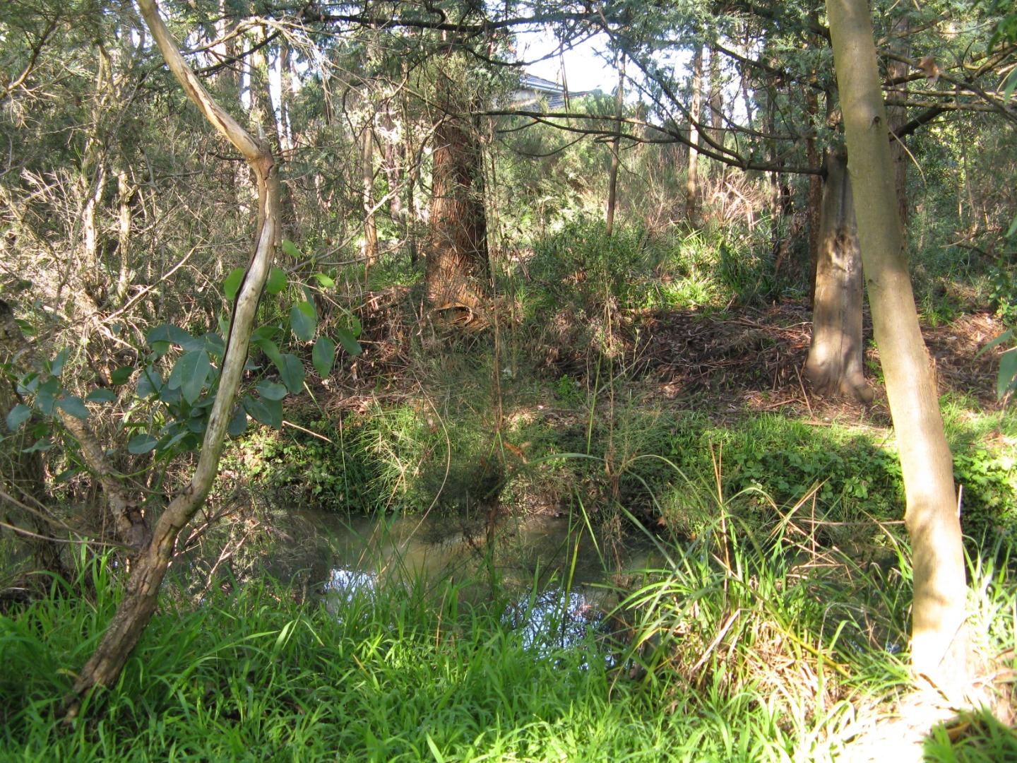
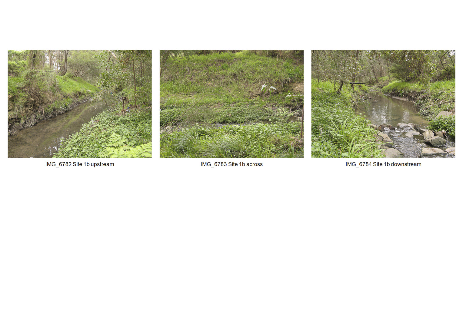
| 21-06-2015 | 21 June 2015: Observation site is now 100 m downstream of the earlier site, now close to our water sampling site. There has been unsightly and possibly serious pollution in the Glen Waverley Drain (Crosby arm, site 1b). All underwater surfaces (rocks, soil, vegetation) are coated with a soft clinging pale brown substance, with a consistency like lint and flour paste mixed, with a slight fatty odour. This extends from emergence from pipes at Waverley Rd, downstream to the first wetlands pond at Blackburn Rd. Otherwise, assessment is similar to the previous site in 2014. | Good 4 | Fair 6 | Poor 4 | Fair 3 | Fair 6 | Fair 23 |
| 24-08-2014 | Still very limited in-stream vegetation. Native revegetation on the banks and verges is good. Active bank erosion is happening. | Fair 3 | Fair 6 | Fair 6 | Good 4 | Good 8 | Fair 27 |
| 21-07-2013 | Very little in-stream vegetation. Some tradescantia and onion weed on the banks. Native revegetation on the banks and verges is good. | Fair 3 | Fair 6 | Fair 6 | Fair 3 | Good 8 | Fair 26 |
| 26-08-2012 | 26 Aug 2012: Still very poor in stream vegetation due to 2010 pollution and sediment deposits (probably from upstream bank erosion and erosion of crushed rock pathways). Widespread weeds (tradescantia and panic veldt grass) on both verges. | Fair 3 | Fair 6 | Fair 6 | Fair 3 | Good 8 | Fair 26 |
| 21-08-2011 | bank vegetation was rated a 5. | Poor 2 | Fair 6 | Poor 4 | Fair 3 | Good 8 | Fair 23 |

All content, files, data and images provided by the Waterwatch Data Portal and Gallery are subject to a Creative Commons Attribution License
Content is made available to be used in any way, and should always attribute Waterwatch and www.vic.waterwatch.org.au
.png)