Waterwatch Data Portal
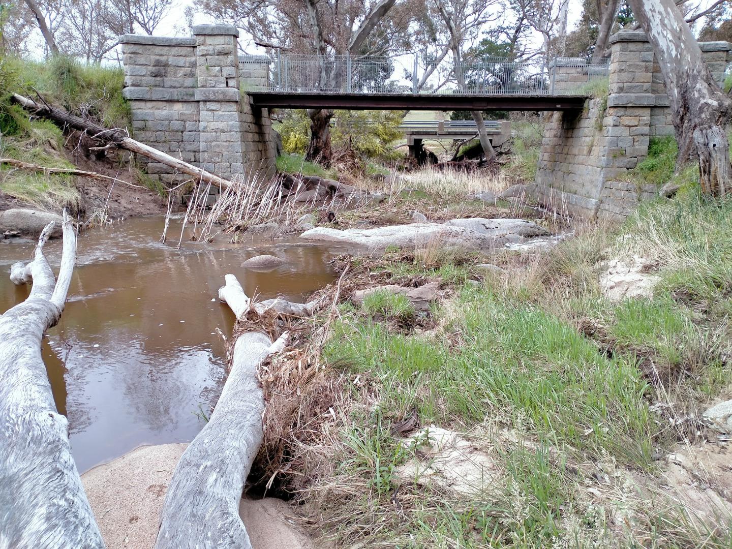
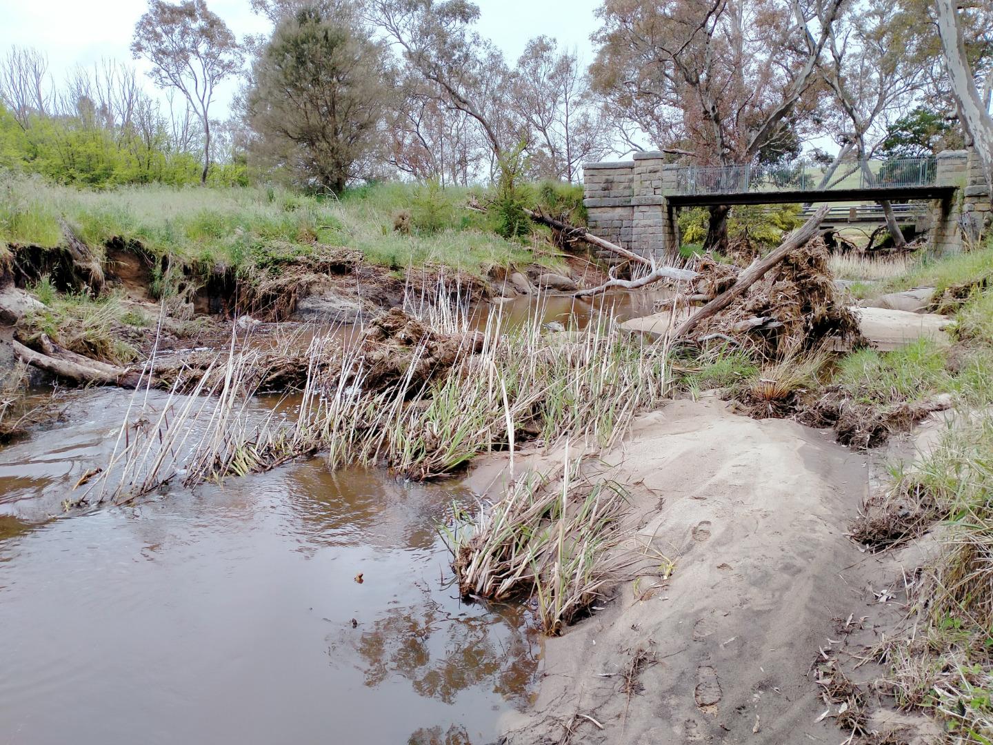
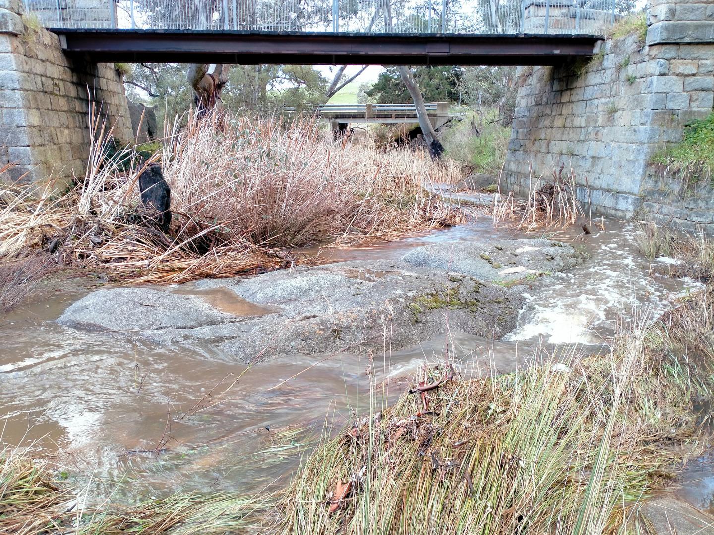
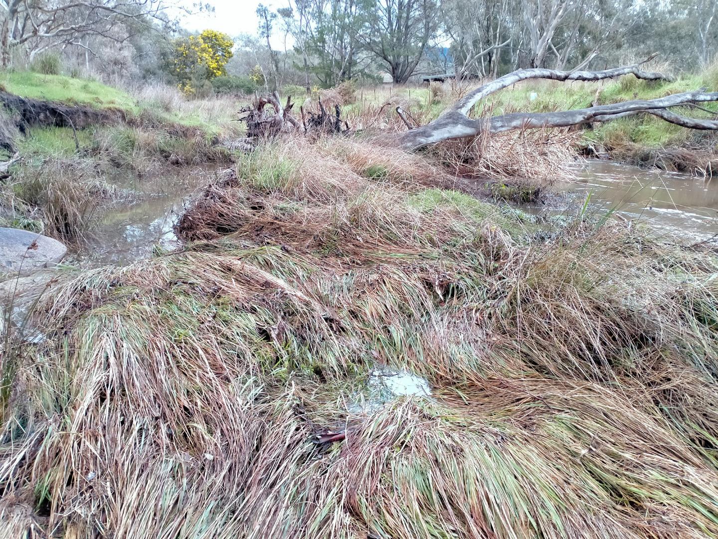
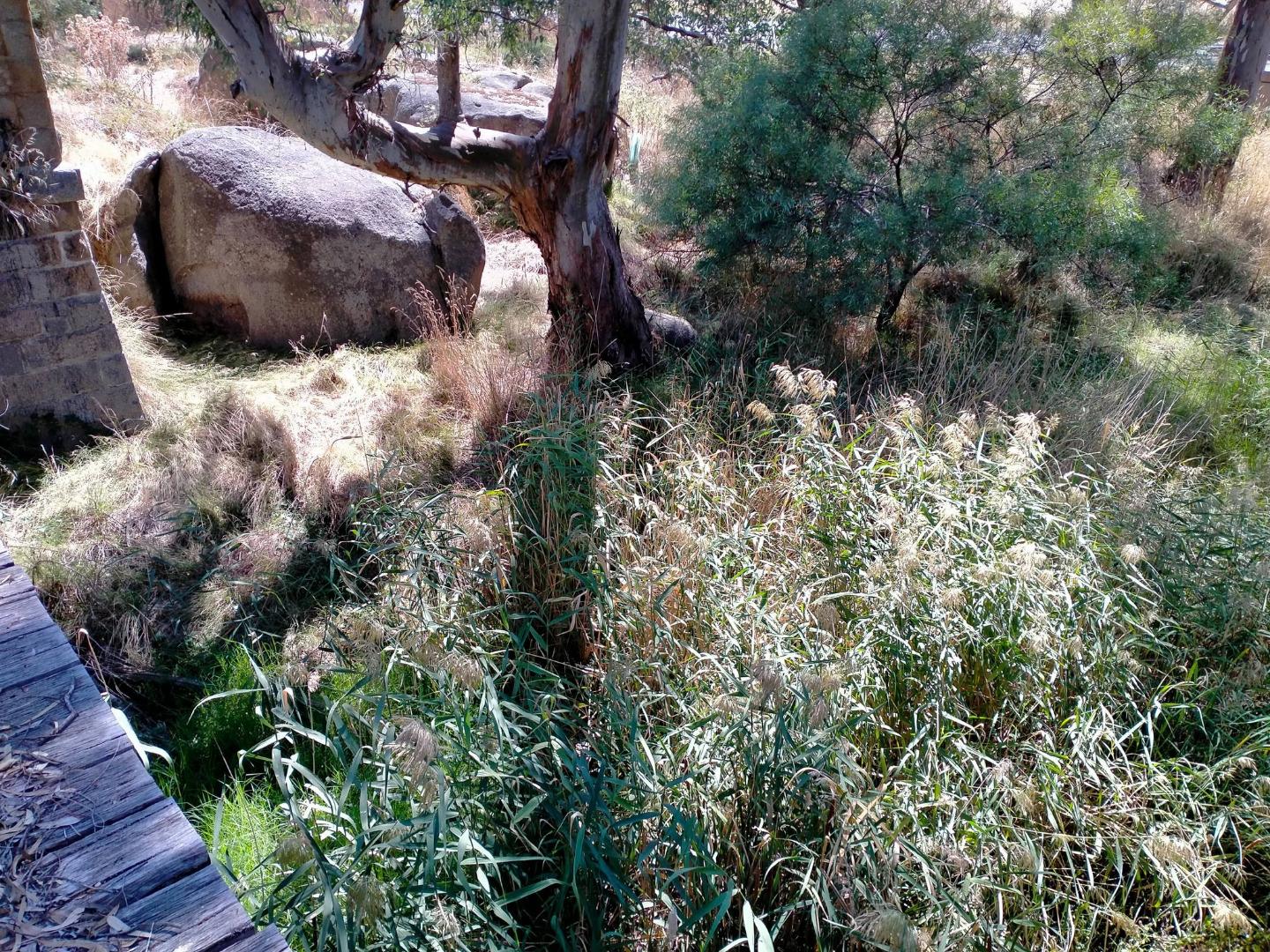
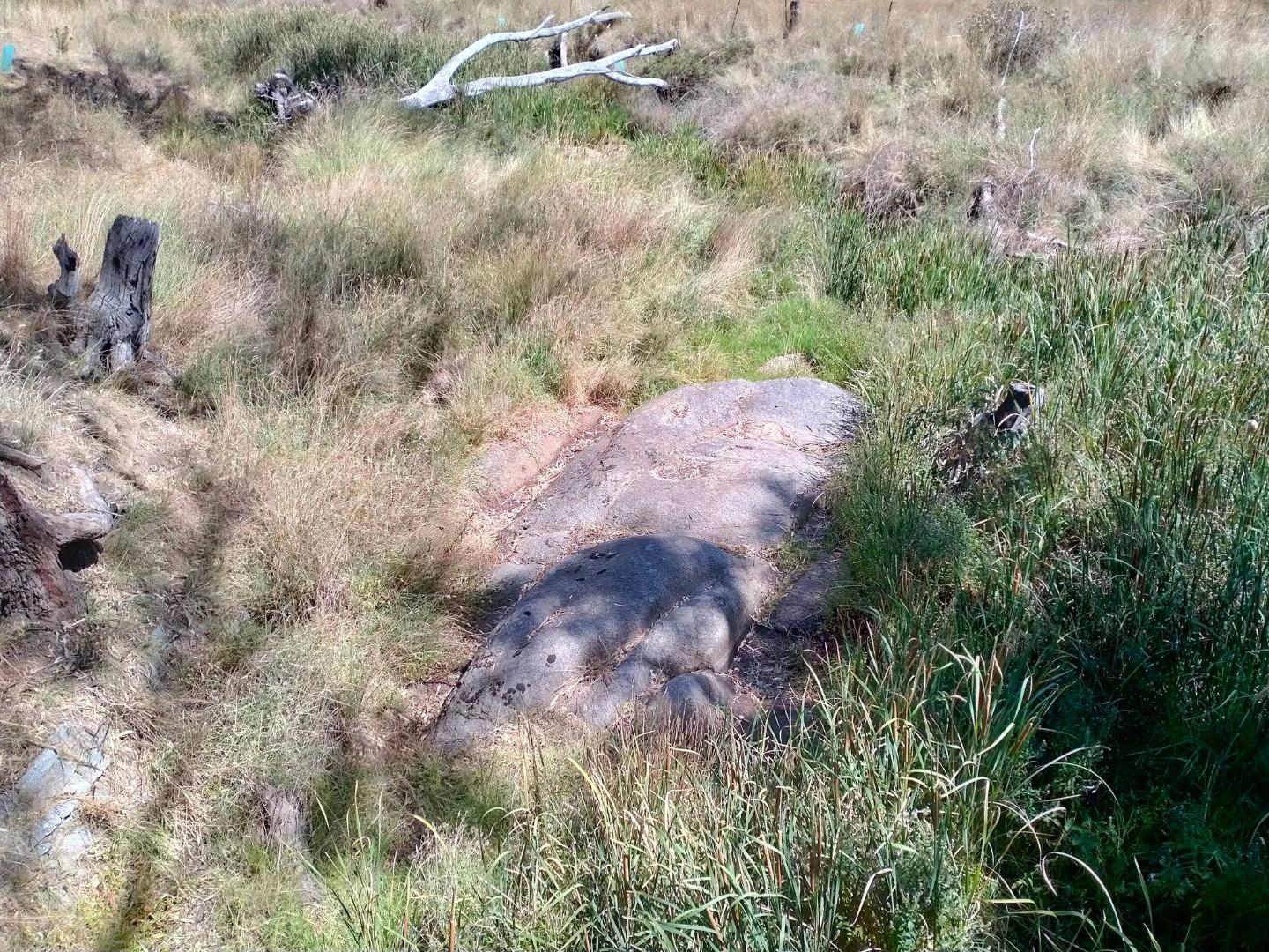
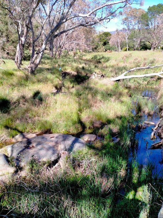
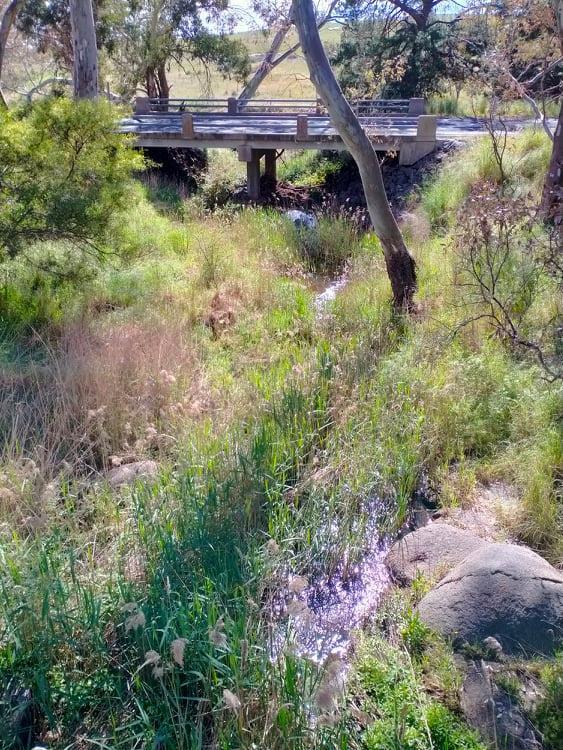
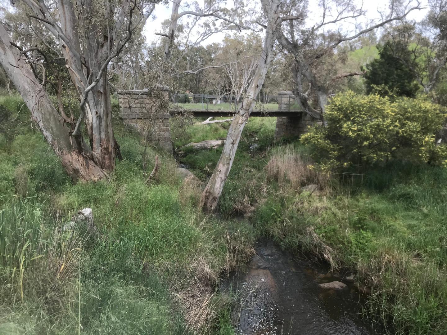
NC_MYR250 Myrtle Creek at the Bendigo-Sutton Grange Road bridge
Site details
Overview
| Site code | NC_MYR250 |
|---|---|
| Site name | Myrtle Creek at the Bendigo-Sutton Grange Road bridge |
| Status | Active |
| Water Authority | North Central |
| Basin | Campaspe River |
| Catchment | Campaspe River |
| Sub catchment | Myrtle Creek |
| Reach | |
| Water type | Other |
| Council | |
| History | View all 119 site visits 15-10-2009 - 30-11-2022 |
| Monitoring organisations |
Site visits
 Loading chart
| Date | EC µS/cm | pH pH Units | rP mg/L P | Air ° C | Water ° C | Turb NTU |
|---|---|---|---|---|---|---|
| 29-04-2022 | 15 | |||||
| 31-05-2022 | 818 | 8.4 | 0.02 | 7 | 8 | 9 |
| 30-06-2022 | 682 | 7.1 | 0 | 10 | 7.5 | 9 |
| 31-07-2022 | 510 | 8 | 0.01 | 10 | 8 | 9 |
| 30-08-2022 | 225 | 6.9 | 0.05 | 10.5 | 11.5 | 35 |
| 30-09-2022 | 255 | 7.7 | 0.03 | 15.5 | 13.5 | 9 |
| 31-10-2022 | 193 | 7.2 | 0.07 | 14 | 17 | 19 |
| 30-11-2022 | 275 | 7.9 | 0.07 | 20.5 | 21 | 9 |
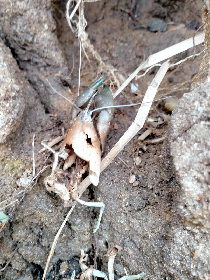
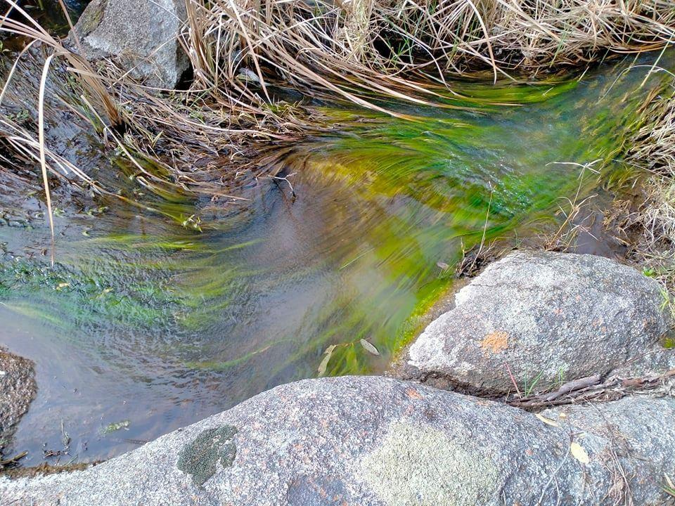
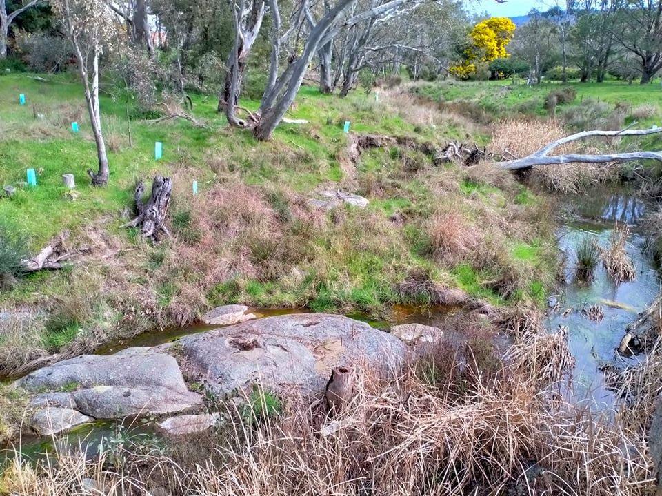
Habitat
| Date | Comment | Bank Erosion Stability | Bank Vegetation | In Stream Cover | Riffles Pools Bends | Verge Vegetation | Overall |
|---|---|---|---|---|---|---|---|
| 15-03-2012 | Fair 3 | Fair 6 | Fair 6 | Fair 3 | Fair 6 | Fair 24 |


All content, files, data and images provided by the Waterwatch Data Portal and Gallery are subject to a Creative Commons Attribution License
Content is made available to be used in any way, and should always attribute Waterwatch and www.vic.waterwatch.org.au
.png)