Waterwatch Data Portal
Site details
Overview
| Site code | NC_LOD290 |
|---|---|
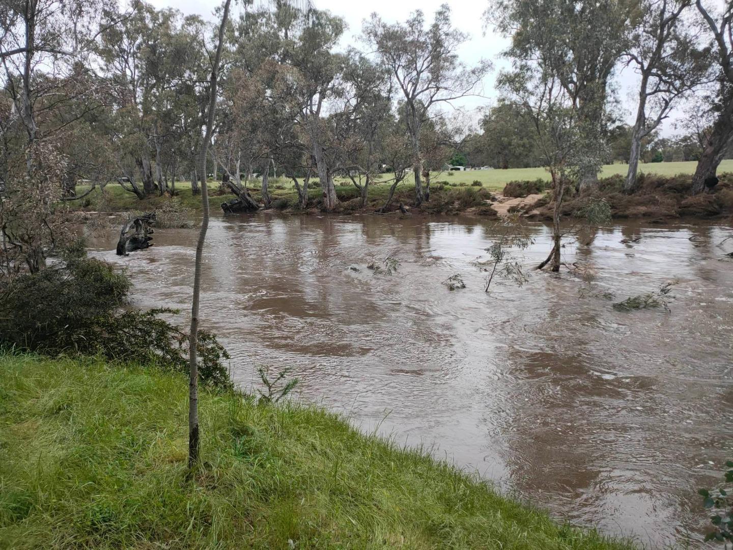
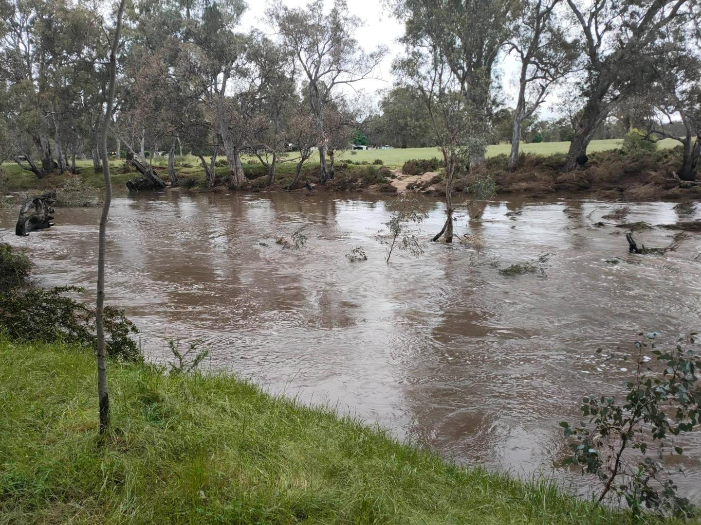
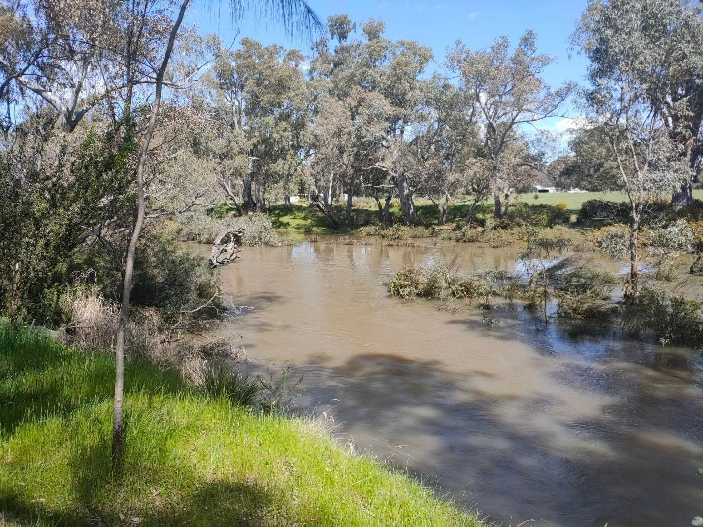
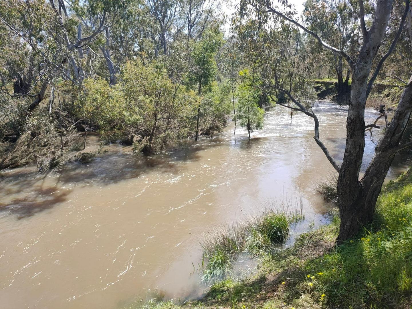
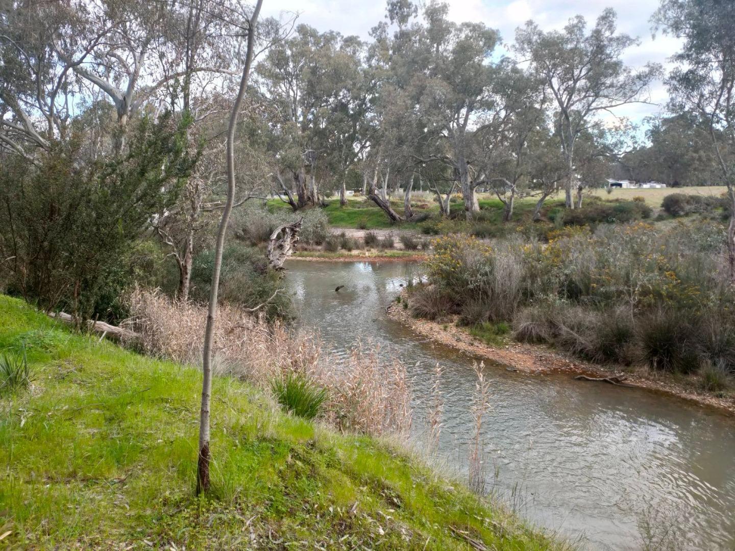
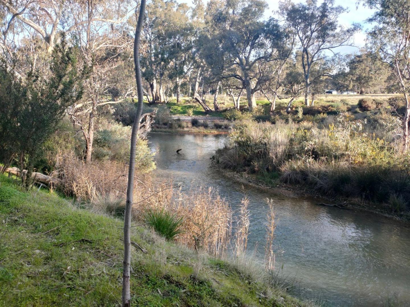
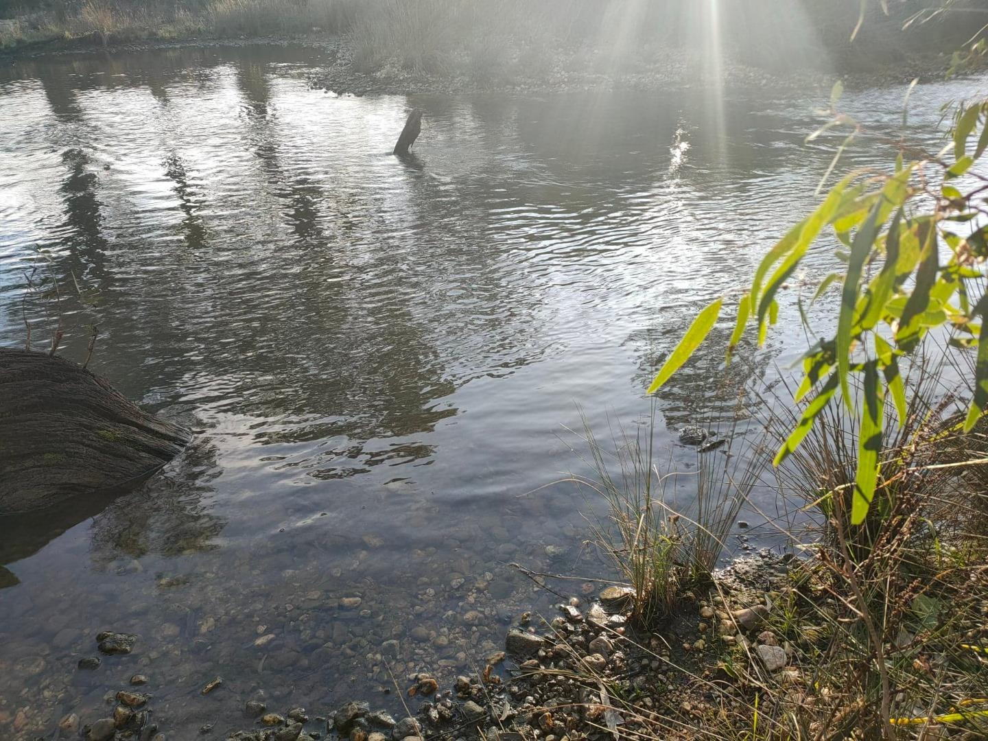
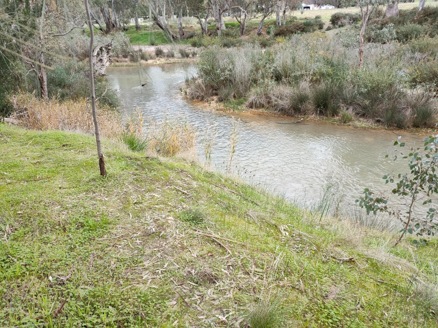
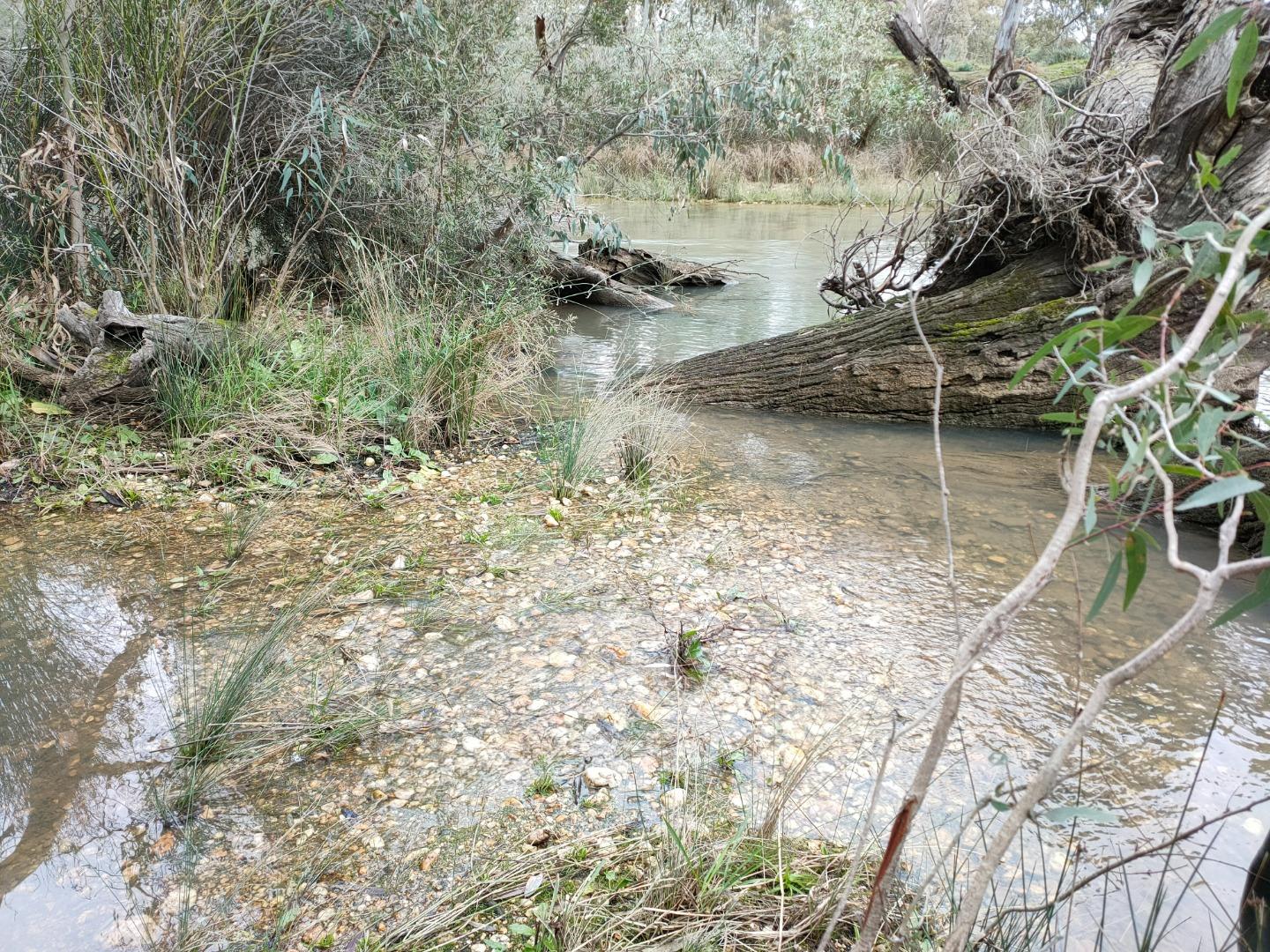
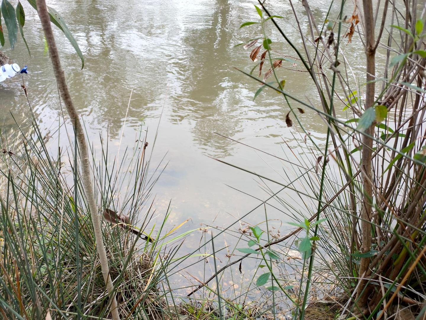
| Site name | Loddon River at Baringhup |
| Status | Active |
| Water Authority | North Central |
| Basin | Loddon River |
| Catchment | Loddon River |
| Sub catchment | Loddon River |
| Reach | 7_8 Loddon River |
| Water type | Other |
| Council | |
| History | View all 93 site visits 03-08-1998 - 31-10-2022 |
| Monitoring organisations |
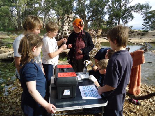
Site visits
 Loading chart
| Date | EC µS/cm | pH pH Units | rP mg/L P | Air ° C | Water ° C | Turb NTU |
|---|---|---|---|---|---|---|
| 29-06-2022 | 443 | 7.1 | 0.02 | 11 | 10 | 11 |
| 27-07-2022 | 419 | 8.6 | 0.02 | 18 | 10 | 12 |
| 30-08-2022 | 847 | 6.9 | 0.03 | 18 | 15 | 13 |
| 31-08-2022 | 1259 | 8.5 | 0 | 16 | 12 | 11 |
| 31-10-2022 | 264 | 7 | 0 | 11 | 15 | 28 |
Habitat
| Date | Comment | Bank Erosion Stability | Bank Vegetation | In Stream Cover | Riffles Pools Bends | Verge Vegetation | Overall |
|---|---|---|---|---|---|---|---|
| 28-06-2017 | Good 4 | Fair 6 | Fair 6 | Good 4 | Fair 6 | 26 | |
| 26-07-2013 | Fair 3 | Fair 6 | Good 8 | Fair 3 | Fair 6 | Fair 26 | |
| 18-02-2013 | The students did the habitat survey, Bill helped them with this and they were pleased to see that our spot is not too bad and improving. | Fair 3 | Fair 6 | Good 8 | Good 4 | Fair 6 | Fair 27 |
| 20-01-2013 | Fair 3 | Fair 6 | Good 8 | Good 4 | Fair 6 | Fair 27 |

All content, files, data and images provided by the Waterwatch Data Portal and Gallery are subject to a Creative Commons Attribution License
Content is made available to be used in any way, and should always attribute Waterwatch and www.vic.waterwatch.org.au
.png)