Waterwatch Data Portal
CO_MOO024 Moorabool River at Robertsons Rd, Lethbridge
Site details
Overview
| Site code | CO_MOO024 |
|---|---|
| Site name | Moorabool River at Robertsons Rd, Lethbridge |
| Status | Inactive |
| Water Authority | Corangamite |
| Basin | Moorabool River |
| Catchment | Moorabool River |
| Sub catchment | Moorabool River |
| Reach | 32_2 Moorabool River |
| Water type | River |
| Council | |
| History | View all 20 site visits 04-09-2010 - 20-04-2019 |
| Monitoring organisations |
|
 Loading chart
Habitat
| Date | Comment | Bank Erosion Stability | Bank Vegetation | In Stream Cover | Riffles Pools Bends | Verge Vegetation | Overall |
|---|---|---|---|---|---|---|---|
| 30-06-2013 | Mistake in data entry no habitat survey undertaken with this visit | N/A 0 | |||||
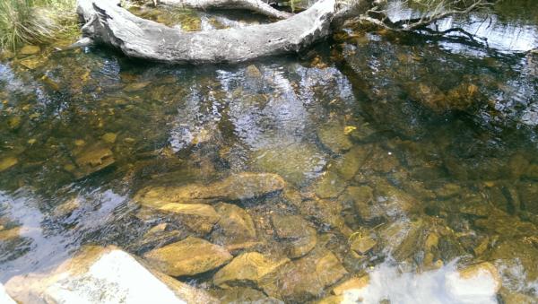
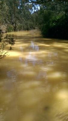
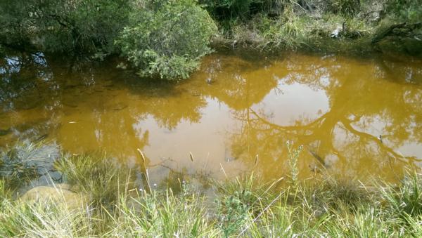
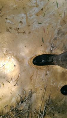
| 04-09-2010 | River meanders through the Lewis' property. Property downstream of quarry. Vineyard on site but grapes are not harvested. Monitoring site is at weir (see photos). Property is visited on weekends. Middle catchment, water use - recreation, adjacent land use - native bushland, gravel mining, rural horticulture. Good riparian zone, some weeds such as blackberry but control measures are in place. | N/A 0 |

All content, files, data and images provided by the Waterwatch Data Portal and Gallery are subject to a Creative Commons Attribution License
Content is made available to be used in any way, and should always attribute Waterwatch and www.vic.waterwatch.org.au
.png)