Waterwatch Data Portal
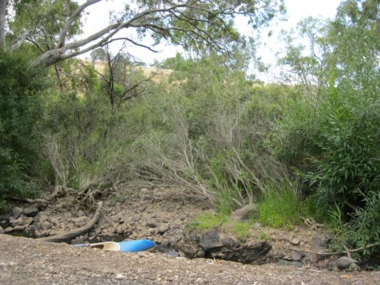
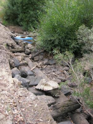
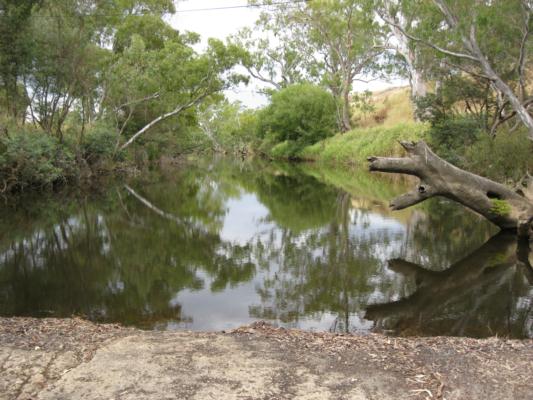
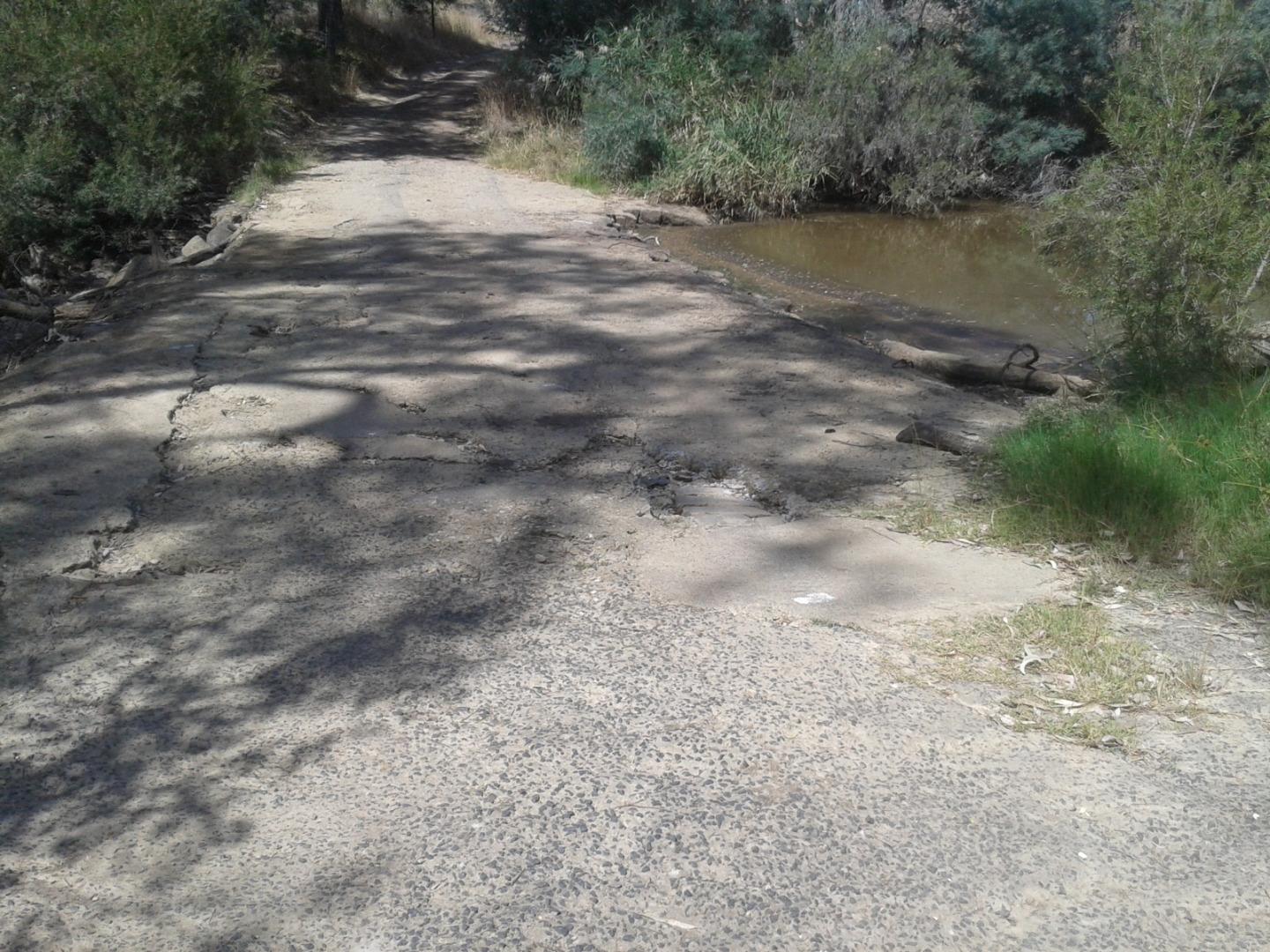
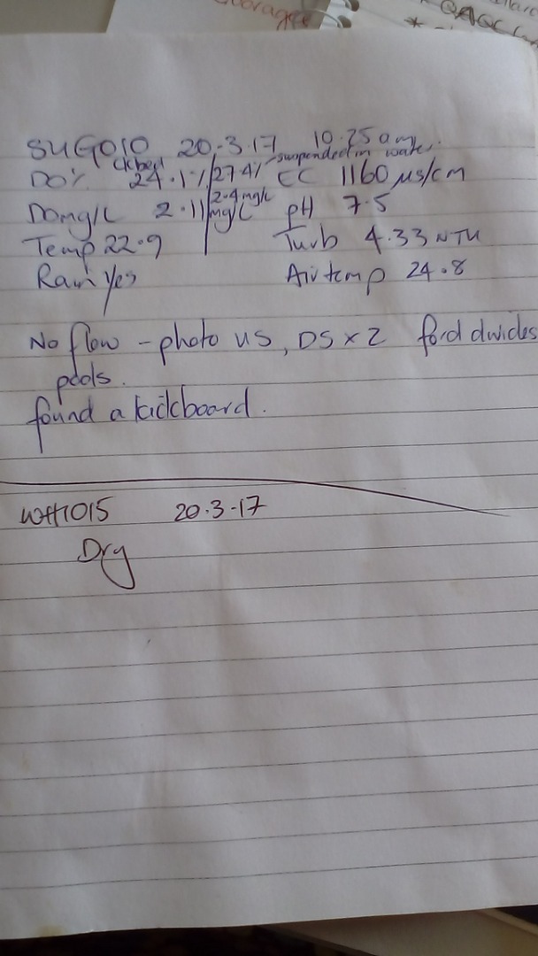
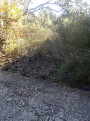
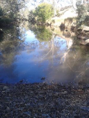
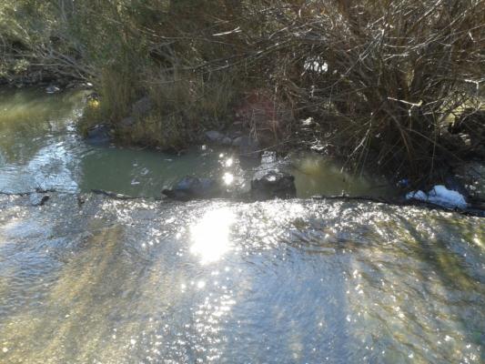
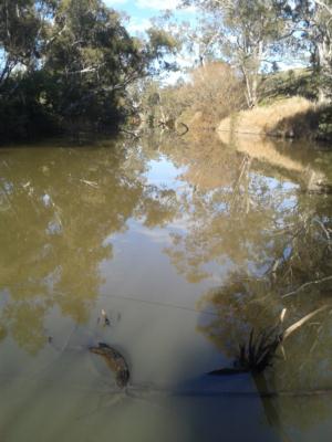
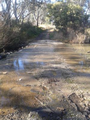
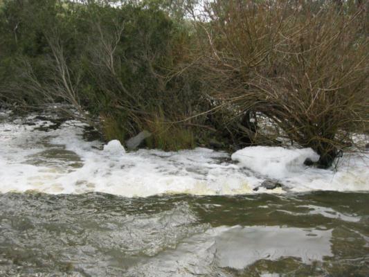
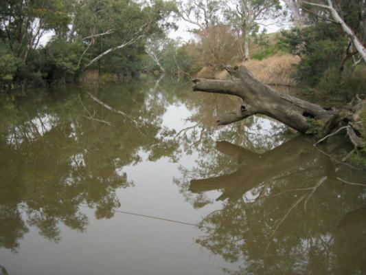
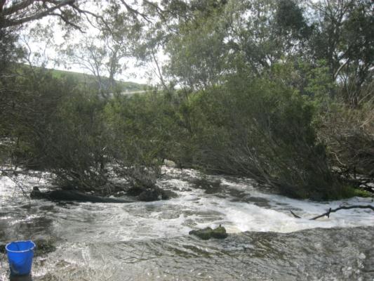
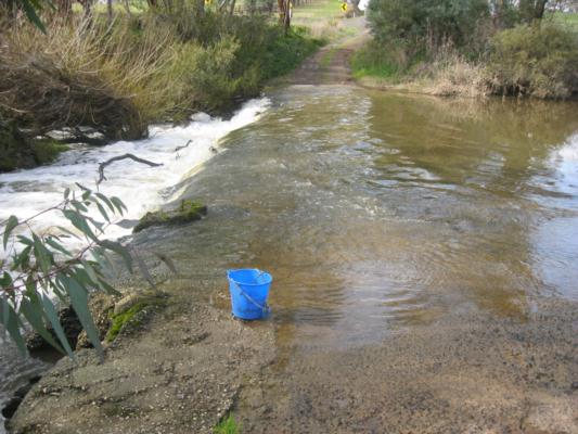
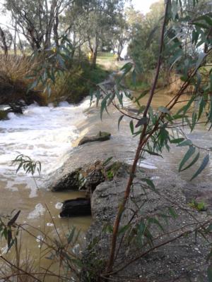
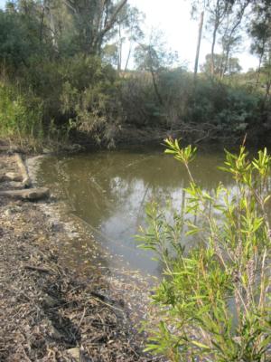
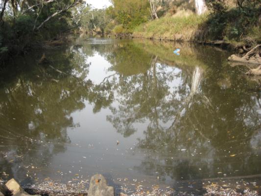
GB_SUG010 Sugarloaf Creek at Broadford-Sugarloaf Creek Road
Site details
Overview
| Site code | GB_SUG010 |
|---|---|
| Site name | Sugarloaf Creek at Broadford-Sugarloaf Creek Road |
| Status | Active |
| Water Authority | Goulburn-Broken |
| Basin | Goulburn River |
| Catchment | Goulburn River |
| Sub catchment | Sugarloaf Creek |
| Reach | 5_41 Sugarloaf Creek |
| Water type | Creek |
| Council | Mitchell Shire Council |
| History | View all 97 site visits 18-06-1997 - 21-03-2018 |
| Monitoring organisations |
 Loading chart
Habitat
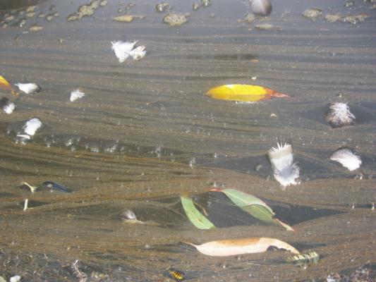
| Date | Comment | Bank Erosion Stability | Bank Vegetation | In Stream Cover | Riffles Pools Bends | Verge Vegetation | Overall |
|---|---|---|---|---|---|---|---|
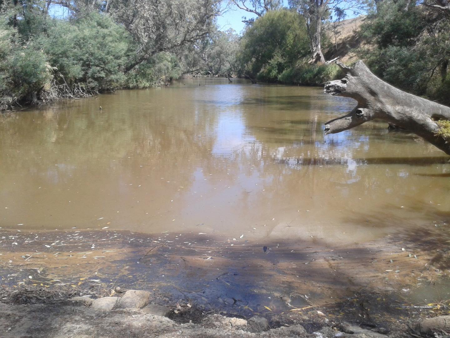
| 14-01-2013 | Small oil slick at creek edge near sampling site. | Good 4 | Good 8 | Fair 6 | Fair 3 | Fair 6 | Fair 27 |
| 17-07-2002 | N/A 0 | ||||||
| 25-04-2024 | N/A 0 |

All content, files, data and images provided by the Waterwatch Data Portal and Gallery are subject to a Creative Commons Attribution License
Content is made available to be used in any way, and should always attribute Waterwatch and www.vic.waterwatch.org.au
.png)