Waterwatch Data Portal
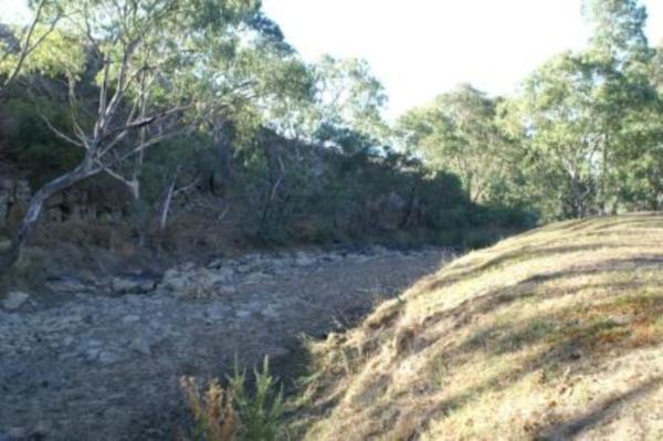
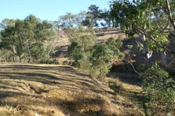
GB_MOL025 Mollison Creek u/s of confluence with Sugarloaf Creek
Site details
Overview
| Site code | GB_MOL025 |
|---|---|
| Site name | Mollison Creek u/s of confluence with Sugarloaf Creek |
| Status | Active |
| Water Authority | Goulburn-Broken |
| Basin | Goulburn River |
| Catchment | Goulburn River |
| Sub catchment | Mollison Creek |
| Reach | 5_41 Sugarloaf Creek |
| Water type | Creek |
| Council | Mitchell Shire Council |
| History | View all 137 site visits 13-08-2001 - 03-05-2021 |
| Monitoring organisations |
 Loading chart
Habitat
| Date | Comment | Bank Erosion Stability | Bank Vegetation | In Stream Cover | Riffles Pools Bends | Verge Vegetation | Overall |
|---|---|---|---|---|---|---|---|
| 03-05-2021 | <p>Cattle have continuous access to pool</p> | N/A | Poor 4 | VeryPoor 2 | N/A | VeryPoor 2 | 8 |

All content, files, data and images provided by the Waterwatch Data Portal and Gallery are subject to a Creative Commons Attribution License
Content is made available to be used in any way, and should always attribute Waterwatch and www.vic.waterwatch.org.au
.png)